Elevation of Unnamed Road, Michoacán, Mexico
Location: Mexico > Michoacán > Tacámbaro >
Longitude: -101.40277
Latitude: 19.2986041
Elevation: 1961m / 6434feet
Barometric Pressure: 80KPa
Elevation Map:
Satellite Map:
Related Photos:
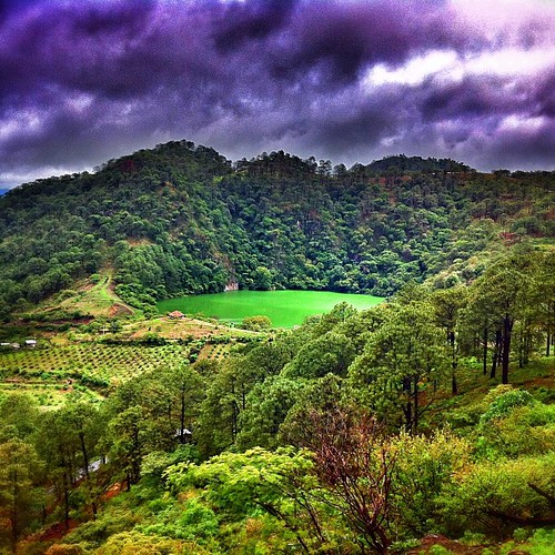
Tacámbaro / La Alberca

Caminos de Michoacán

Black Pea DSCN1080

cose DSCN1127

PIFL DSCN1025

flower and butterfly DSCN1072

stripe-headed Sp DSCN1120

White-naped swifts DSCN1051

#Nalita de viaje! Atenta al camino!

Cielo de invierno
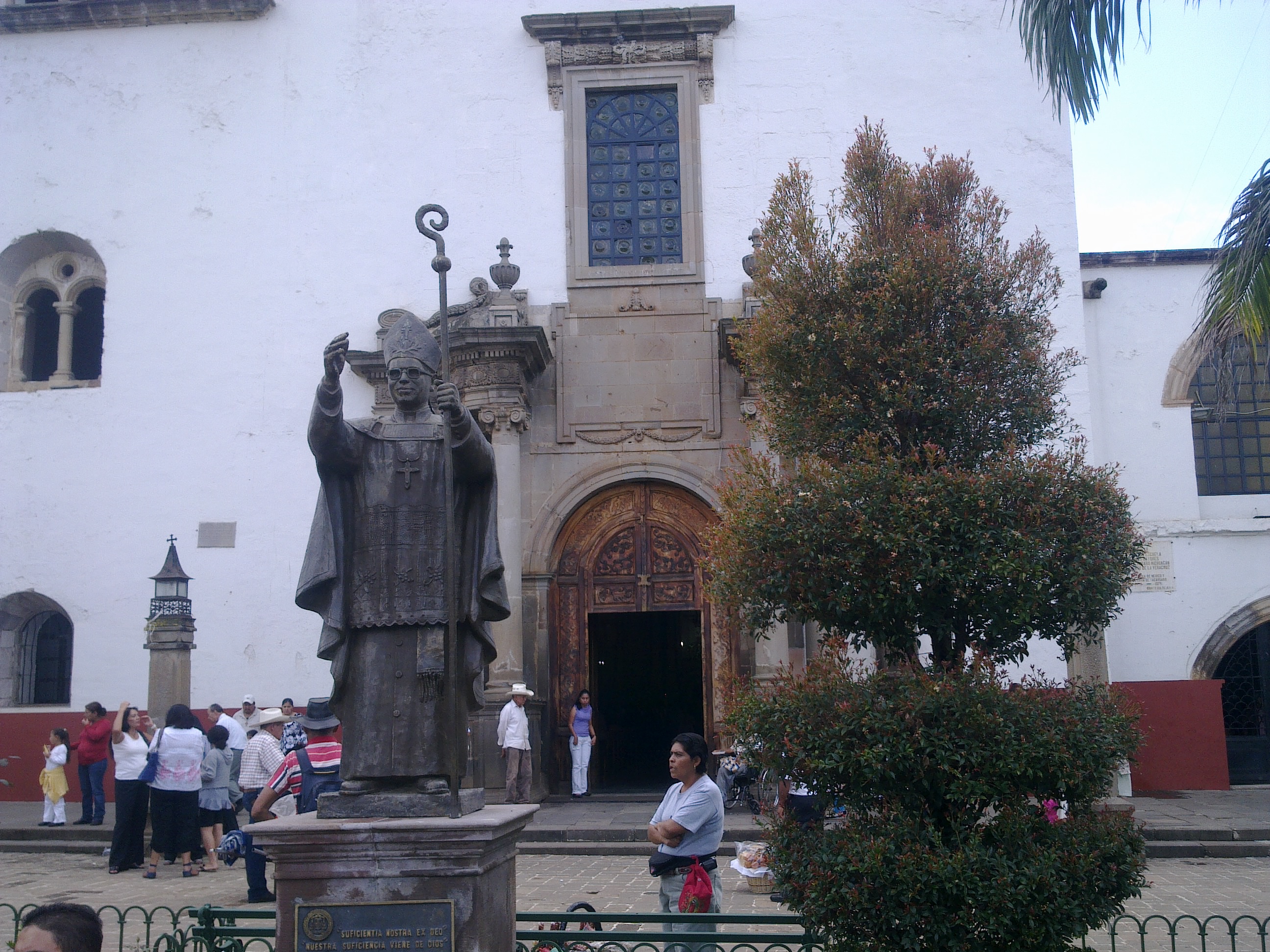
El Padre Abraham
Topographic Map of Unnamed Road, Michoacán, Mexico
Find elevation by address:

Places near Unnamed Road, Michoacán, Mexico:
Centro
Portal General Nicolás de Regules 6, Centro, Tacámbaro de Codallos, Mich., Mexico
Tacámbaro
Tacámbaro De Codallos
Tacambaro
Villa Madero
16 de Septiembre, Buenos Aires, Villa Madero, Mich., Mexico
Madero
Nopalera
Turicato
Av. José María Morelos, Nopalera, Turicato, Mich., Mexico
Turicato
Santa Clara Del Cobre
Santa Clara Del Cobre
Alfredo Salce
Navarrete 3a
Pátzcuaro
Pátzcuaro
Calle Fray Juan de San Miguel 39, Santiago Undameo, Mich., Mexico
Santiago Undameo
Recent Searches:
- Elevation of Great Brook Sports, Gold Star Hwy, Groton, CT, USA
- Elevation of 10 Mountain Laurels Dr, Nashua, NH, USA
- Elevation of 16 Gilboa Ln, Nashua, NH, USA
- Elevation of Laurel Rd, Townsend, TN, USA
- Elevation of 3 Nestling Wood Dr, Long Valley, NJ, USA
- Elevation of Ilungu, Tanzania
- Elevation of Yellow Springs Road, Yellow Springs Rd, Chester Springs, PA, USA
- Elevation of Rēzekne Municipality, Latvia
- Elevation of Plikpūrmaļi, Vērēmi Parish, Rēzekne Municipality, LV-, Latvia
- Elevation of 2 Henschke Ct, Caboolture QLD, Australia