Elevation of Unnamed Road, Mali
Location: Mali > Bamako Capital District > Bamako >
Longitude: -7.9021016
Latitude: 12.6306111
Elevation: 437m / 1434feet
Barometric Pressure: 96KPa
Elevation Map:
Satellite Map:
Related Photos:

Bamako Garden
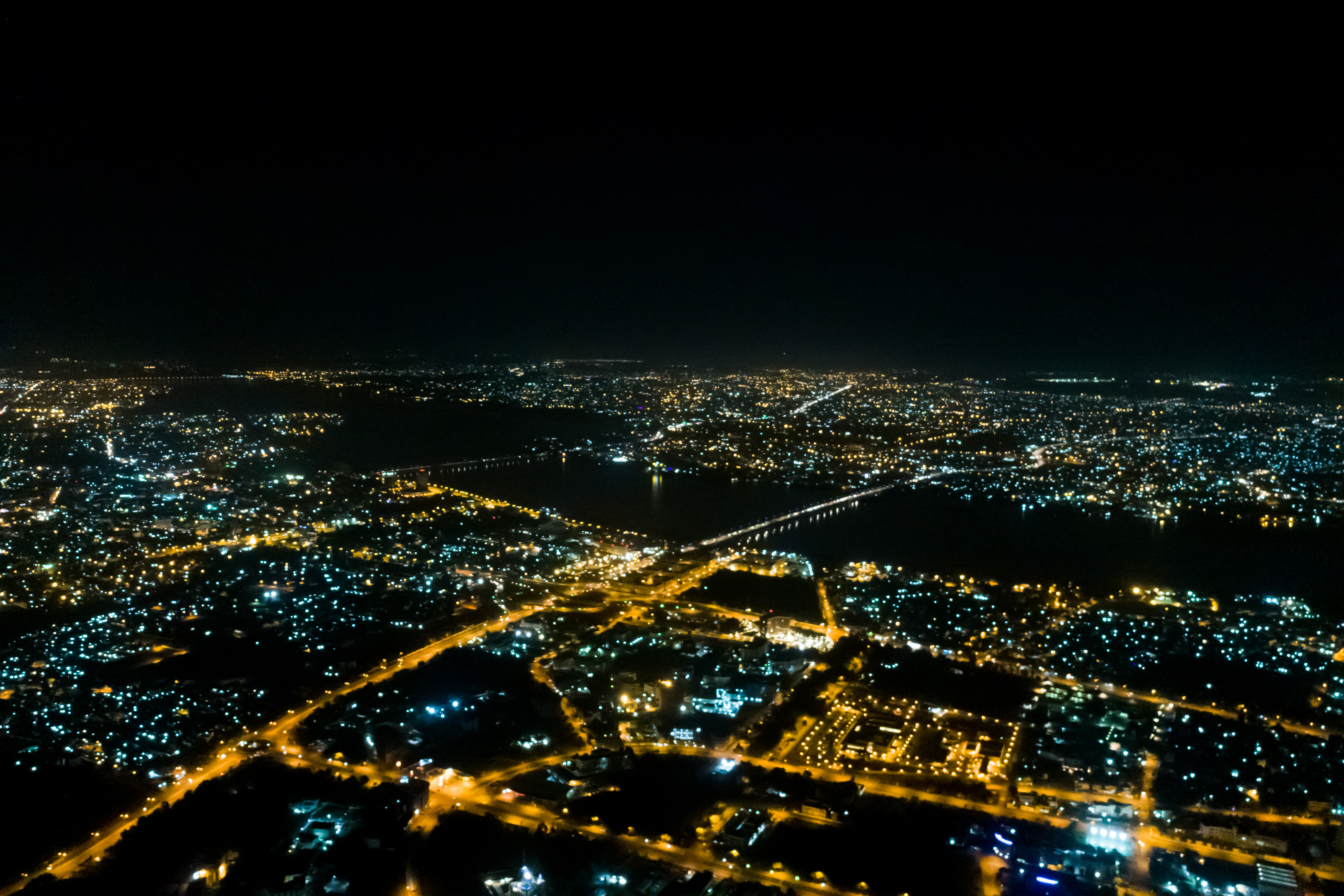
Bamako at Night

ACI 2000

Bamako Donkey
Mali. Bamako. Hotel Mandé, sobre el rio Niger

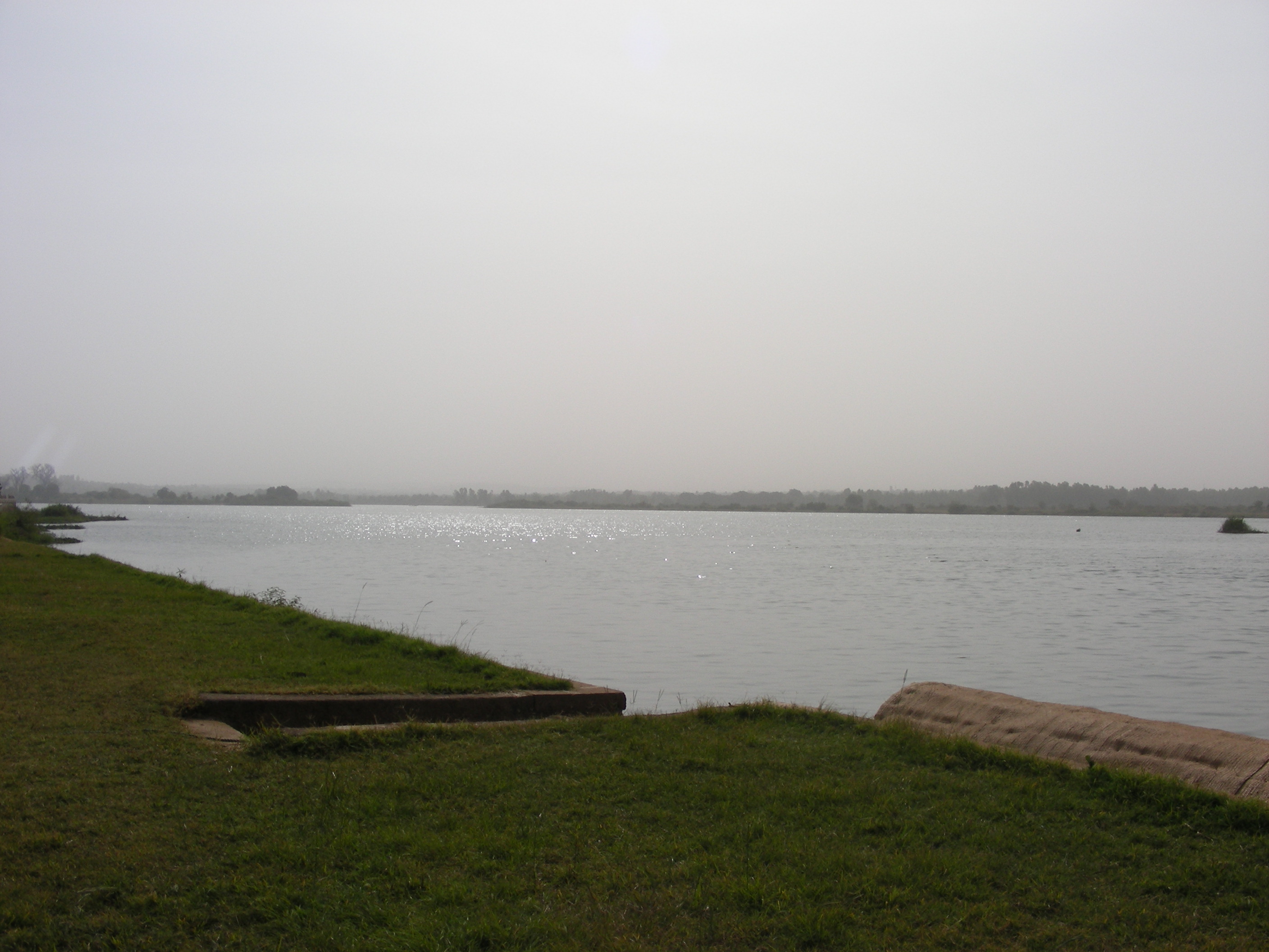
Outskirts of Bamako

Niger, Sonnenuntergang

Timbuktu Manuscript

Bamako in Year 2000

Bamako in Year 2000

Bamako in Year 2000

Bamako in Year 2000

Bamako in Year 2000

Bamako in Year 2000

Bamako in Year 2000

Bamako in Year 2000

Bamako in Year 2000

IMAG1109-(L)
Topographic Map of Unnamed Road, Mali
Find elevation by address:

Places near Unnamed Road, Mali:
Recent Searches:
- Elevation of Općina Šodolovci, Croatia
- Elevation of Šodolovci, Croatia
- Elevation of Old Clairton Rd, Jefferson Hills, PA, USA
- Elevation of st Ave SE, Lisbon, ND, USA
- Elevation of Steamboat Island Road Northwest, Olympia, WA, USA
- Elevation of Kootenai Trail Rd, Bonners Ferry, ID, USA
- Elevation of Hickory Blvd, Bonita Springs, FL, USA
- Elevation of Lalagbene, Bayelsa, Nigeria
- Elevation of Ogbosuware Health Centre, 2WWJ+4PJ, Lalagbene, Bayelsa, Nigeria
- Elevation of Duckhorn Ct, Las Vegas, NV, USA