Elevation of Unnamed Road, Loma, MT, USA

Location: United States > Montana > Chouteau County > Loma >

Longitude: -110.13561

Latitude: 48.0319628

Elevation: 797m / 2615feet

Barometric Pressure: 92KPa

Elevation Map:

elevation map of Unnamed Road, Loma, MT, USA

Satellite Map:

Satellite map of Unnamed Road, Loma, MT, USA

Related Photos:

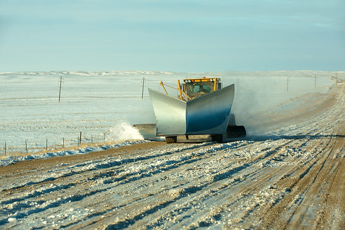
road travel sunlight snow tractor storm cold west fall ice yellow horizontal rural truck moving big highway montana day driving mt action country snowstorm january documentary freezing bluesky surface front safety equipment attachment machinery transportation mounted western vehicle blade plow rough copyspace icy manworking blizzard desolate residential plowing snowplough wedge americanwest municipal clearing snowplow snowcovered frontview stockphoto pushing gravelroad conditions grader snowremoval cleaningup stockphotography bigsandy implement roadgrader treacherous colorimage chouteaucounty dangerousdrivingconditions conceptsandideas toddklassy judithlanding diggingoutfrom
Big Blade
montana uppermissouri bureauoflandmanagement nationalconservationlands wildandscenicrivers water river wildlifeviewing fishing boating riverfloating kayaking canoeing camping birding photography recreation hiking scenery lewisandclarknationalhistorictrail hunting blmmontana
Upper Missouri Wild and Scenic River, Montana
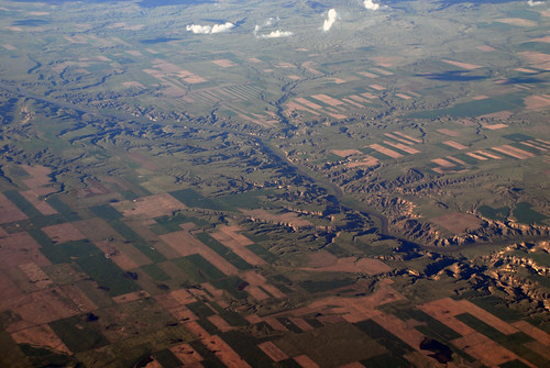
aerial wildandscenicriver missiourriver
Aerial View of White Cliffs of the Missouri Wild and Scenic River
christmas old morning travel blue trees winter light sky white cold west color art ice nature beautiful beauty field horizontal clouds rural america season landscape outdoors countryside frozen cool scenery holidays montana crystals december mt flat snowy pastel branches horizon country group dream shapes meadow peaceful nobody visit scene row serenity cottonwood environment prairie limbs copyspace dramaticsky sorrow tops tranquil stockphoto hibernation grassy inarow riverbottom greatplains stockphotography bigsandy designelement withoutleaves bearpaws bearpawmountains russellcountry toddklassy montanaphotographer
Desperate Trees
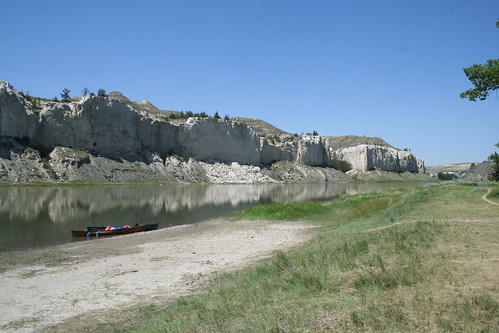
montana canoe whitecliffs lewisclark uppermissouri
White Cliffs - IMG_3510
montana canoe uppermissouri
Virgelle Ferry
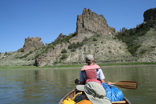
montana canoe uppermissouri
Grand Natural Wall - IMG_3513
upper missouri river, white cliffs area
Virgelle Ferry
2016-10-31_06-44-11