Elevation of Union Township, IN, USA
Location: United States > Indiana > Jasper County >
Longitude: -87.202099
Latitude: 41.0660117
Elevation: 209m / 686feet
Barometric Pressure: 99KPa
Elevation Map:
Satellite Map:
Related Photos:

Nudes a Poppin
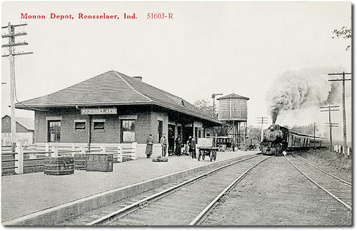
Monon Depot, Rensselaer, Indiana
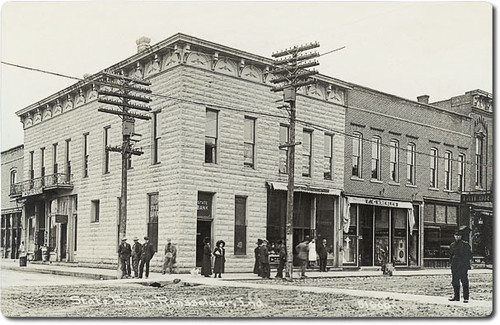
State Bank, Rensselaer, Indiana
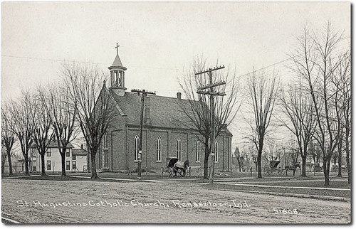
St. Augustine Catholic Church, Rensselaer, Indiana
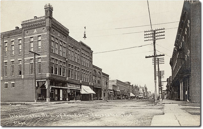
Washington Street east of Front Street, Rensselaer, Indiana
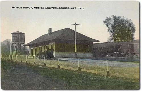
The Hoosier Limited train at the Monon Depot, Rensselaer, Indiana
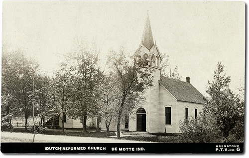
Dutch Reformed Church, Demotte, Indiana
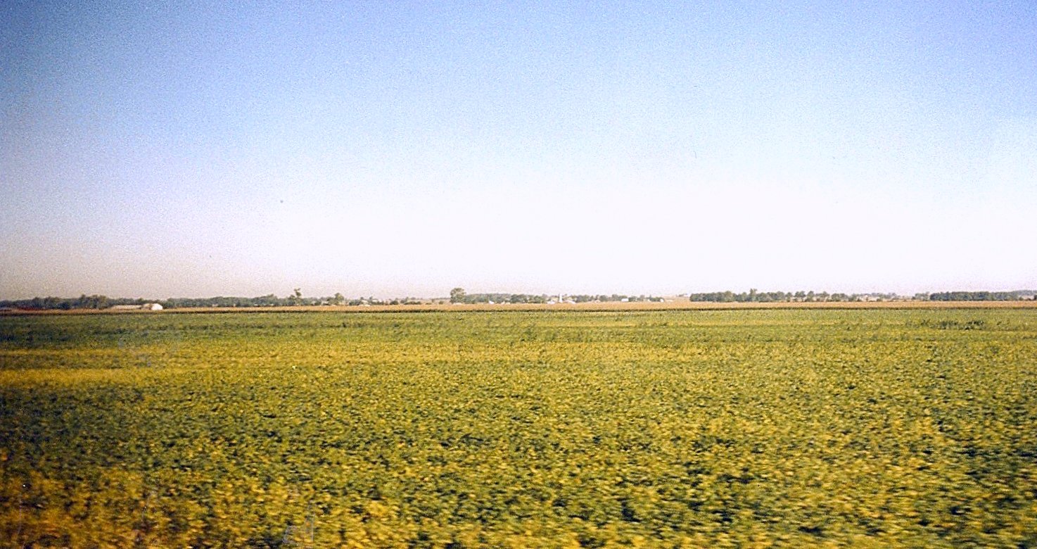
Indiana Farm Field of Soybeans

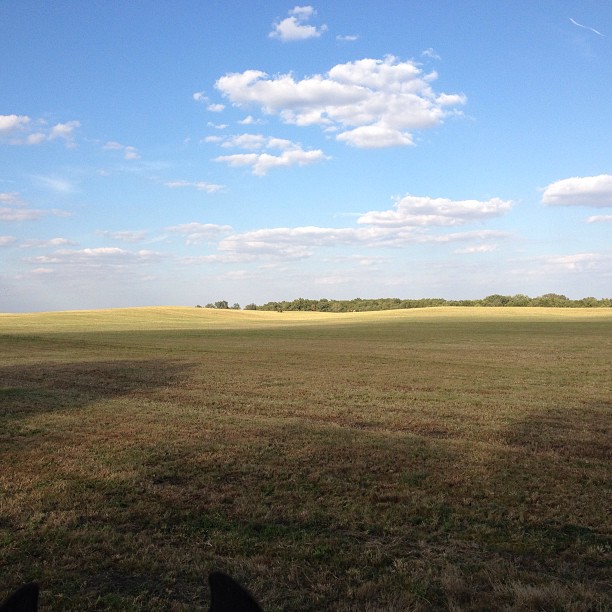
Long View

Jasper County Courthouse - alternate view
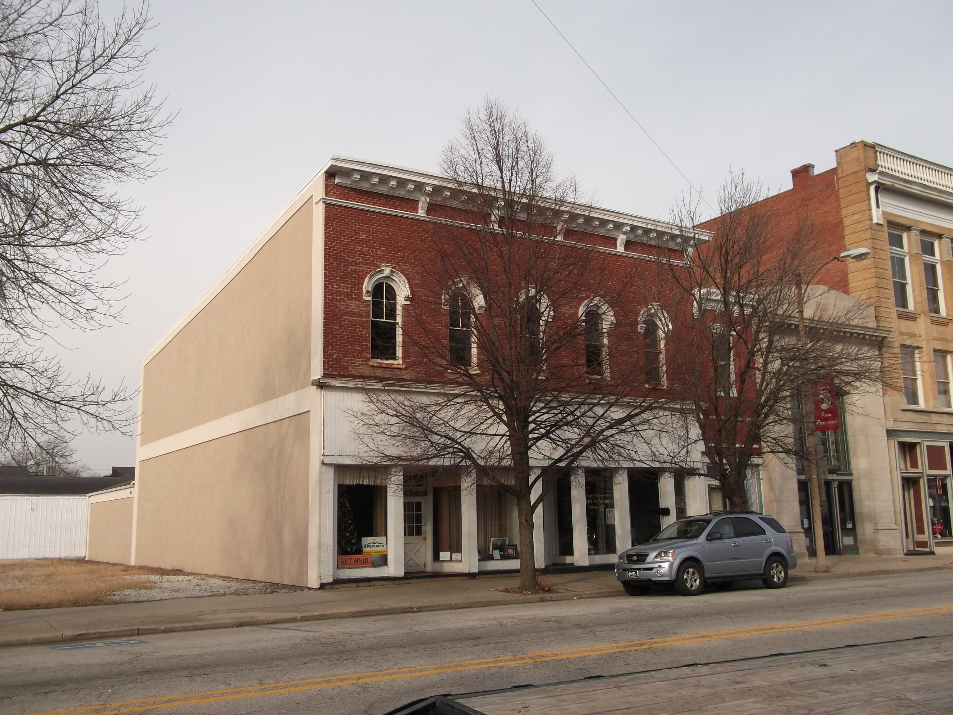
View of downtown Rensselaer, IN
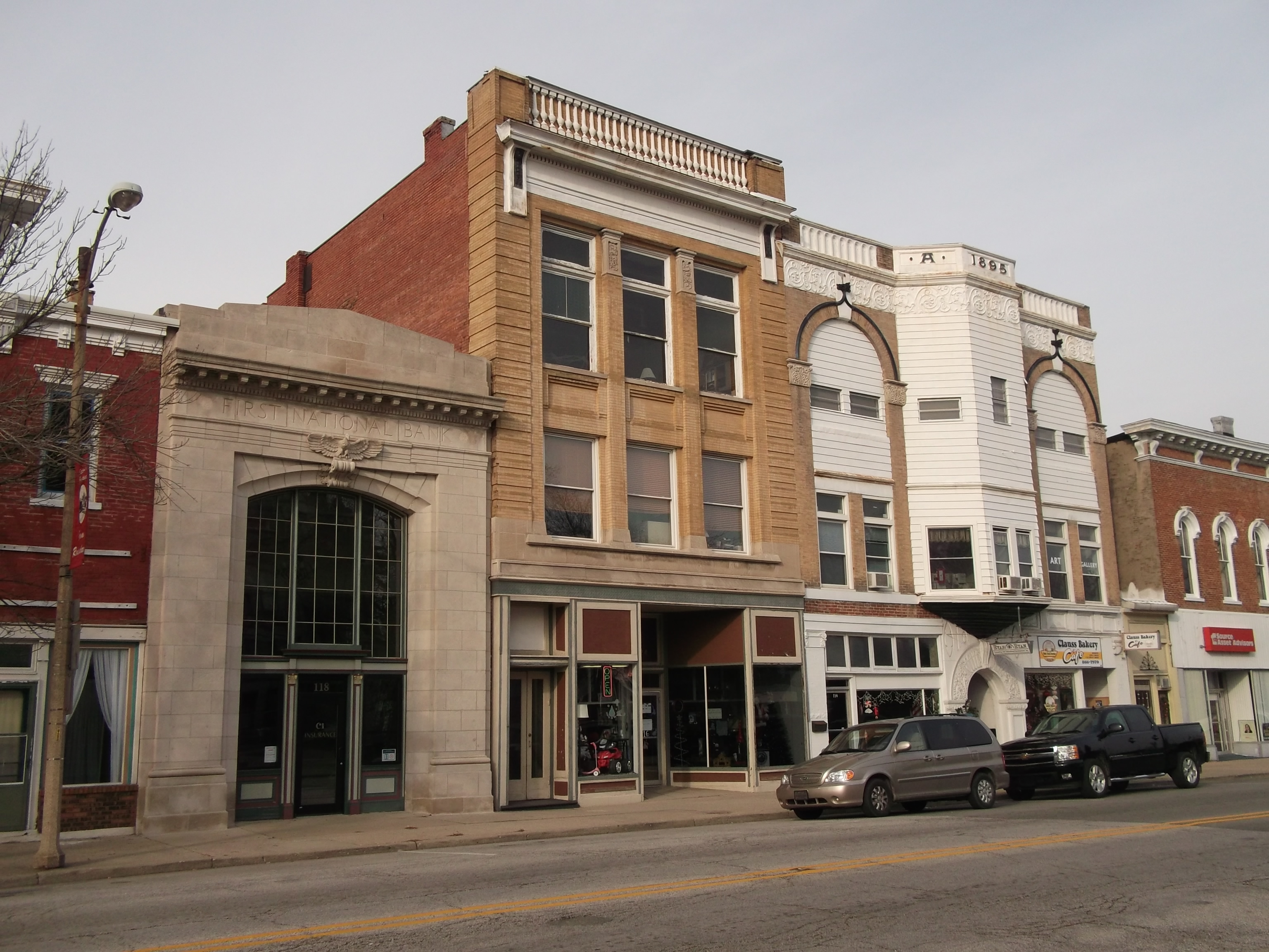
View of downtown Rensselaer, IN
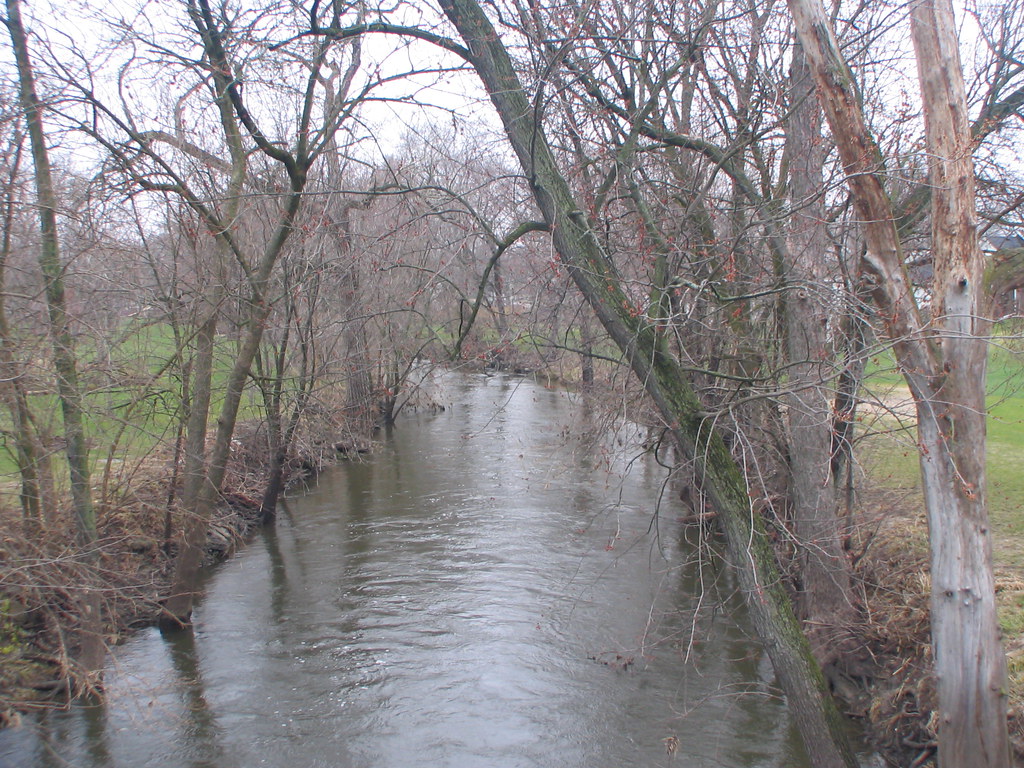
Iroquois River - Grace Street Bridge view

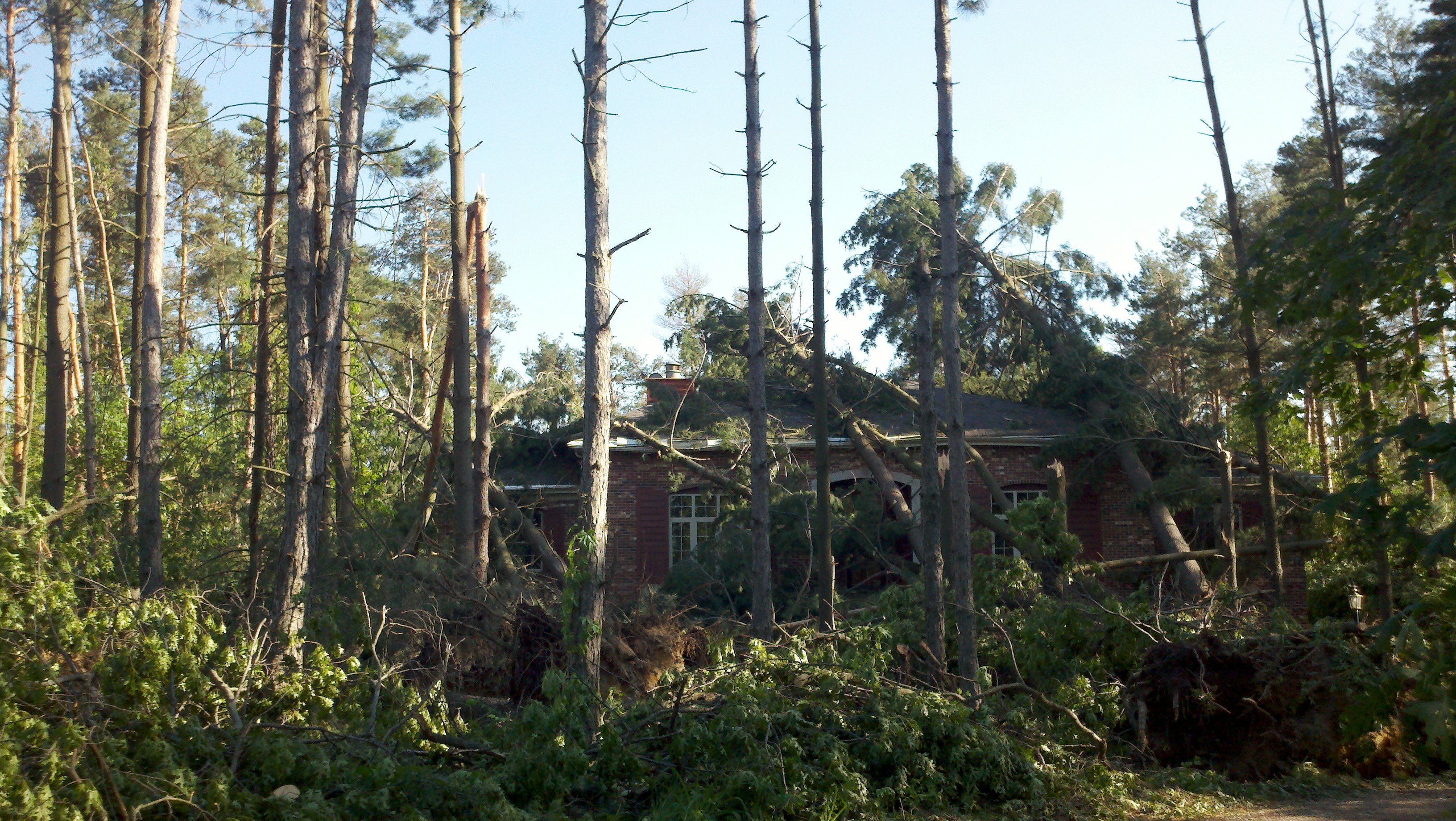
Coming to life
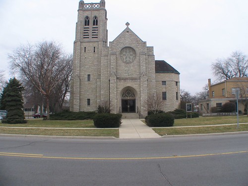
St. Augustine - front view
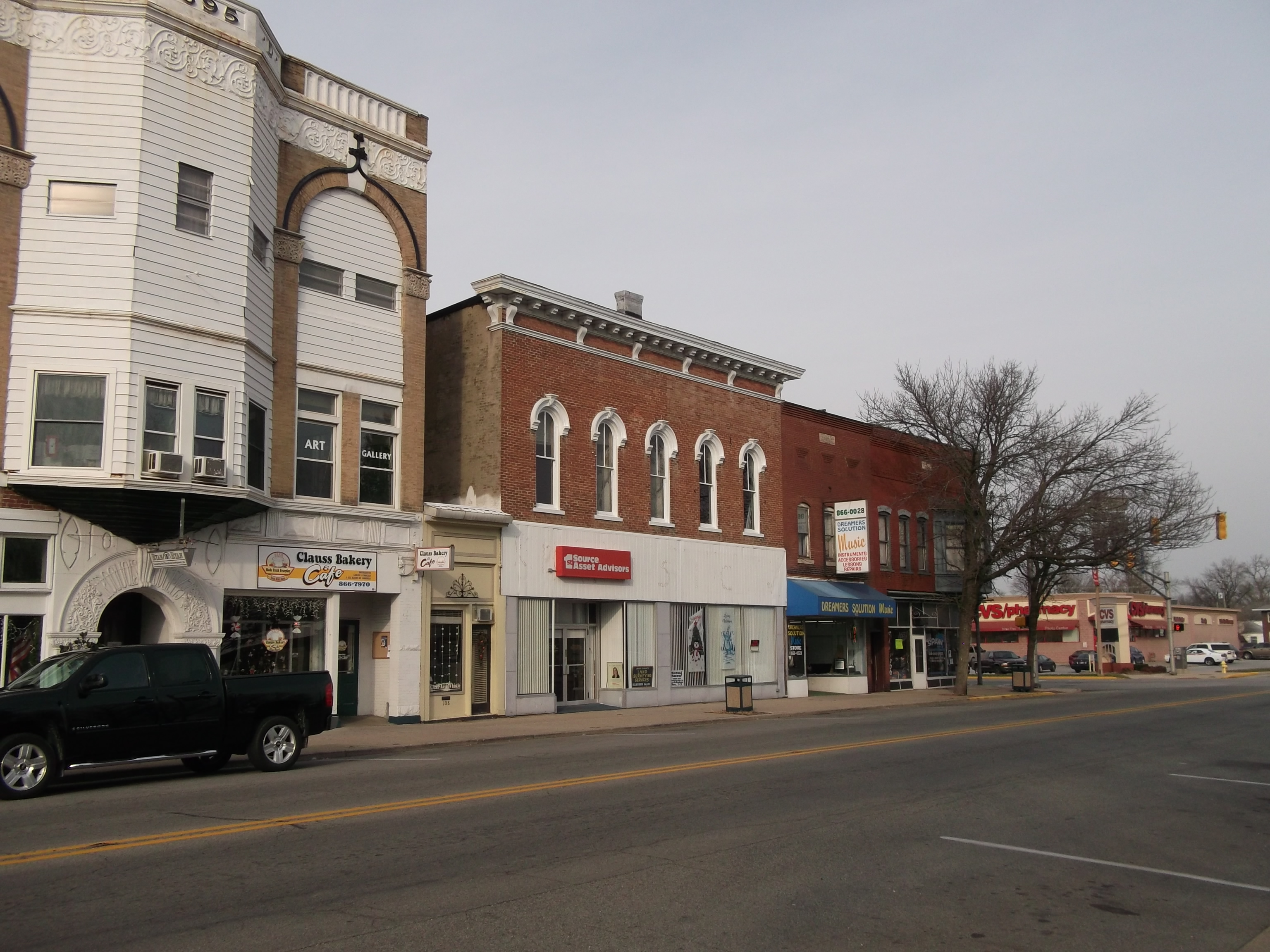
View of downtown Rensselaer, IN
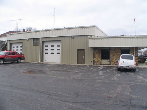
Rensselaer Volunteer Fire Department Station 1 - rear view

A different view
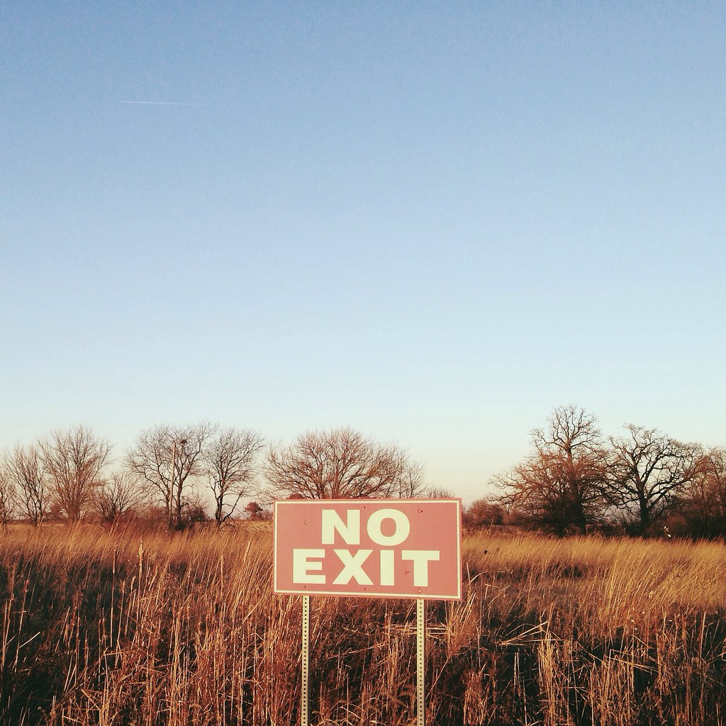
No Exit

From the fields I used to roam...
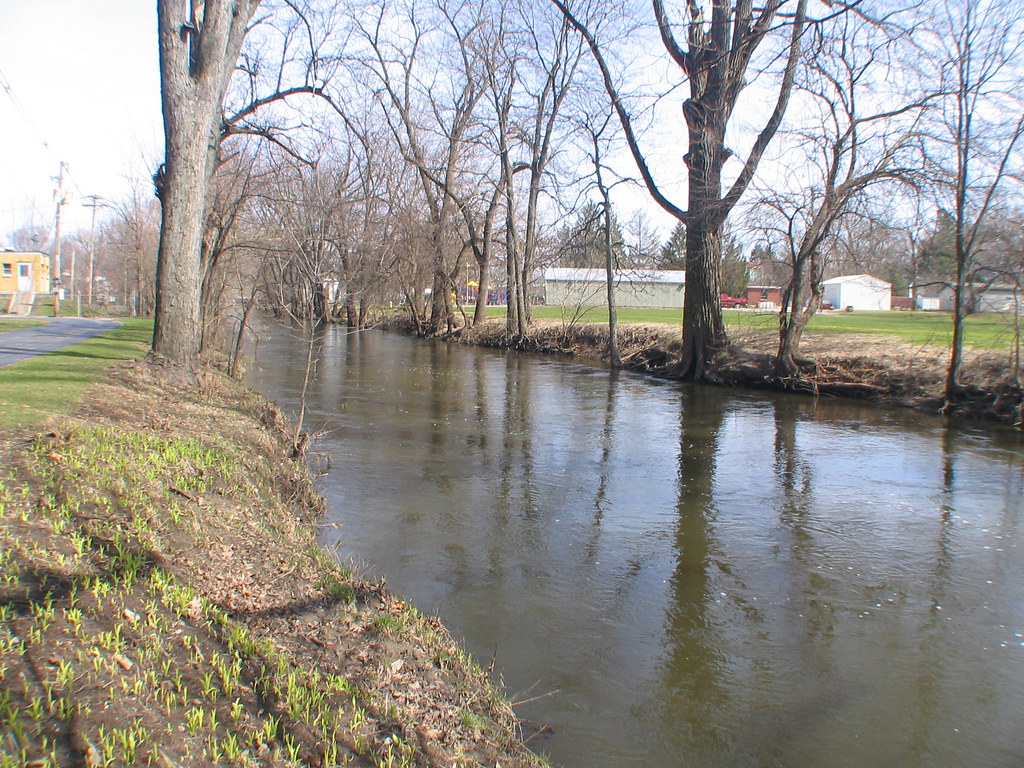
Weston Cemetery - Iraquois River
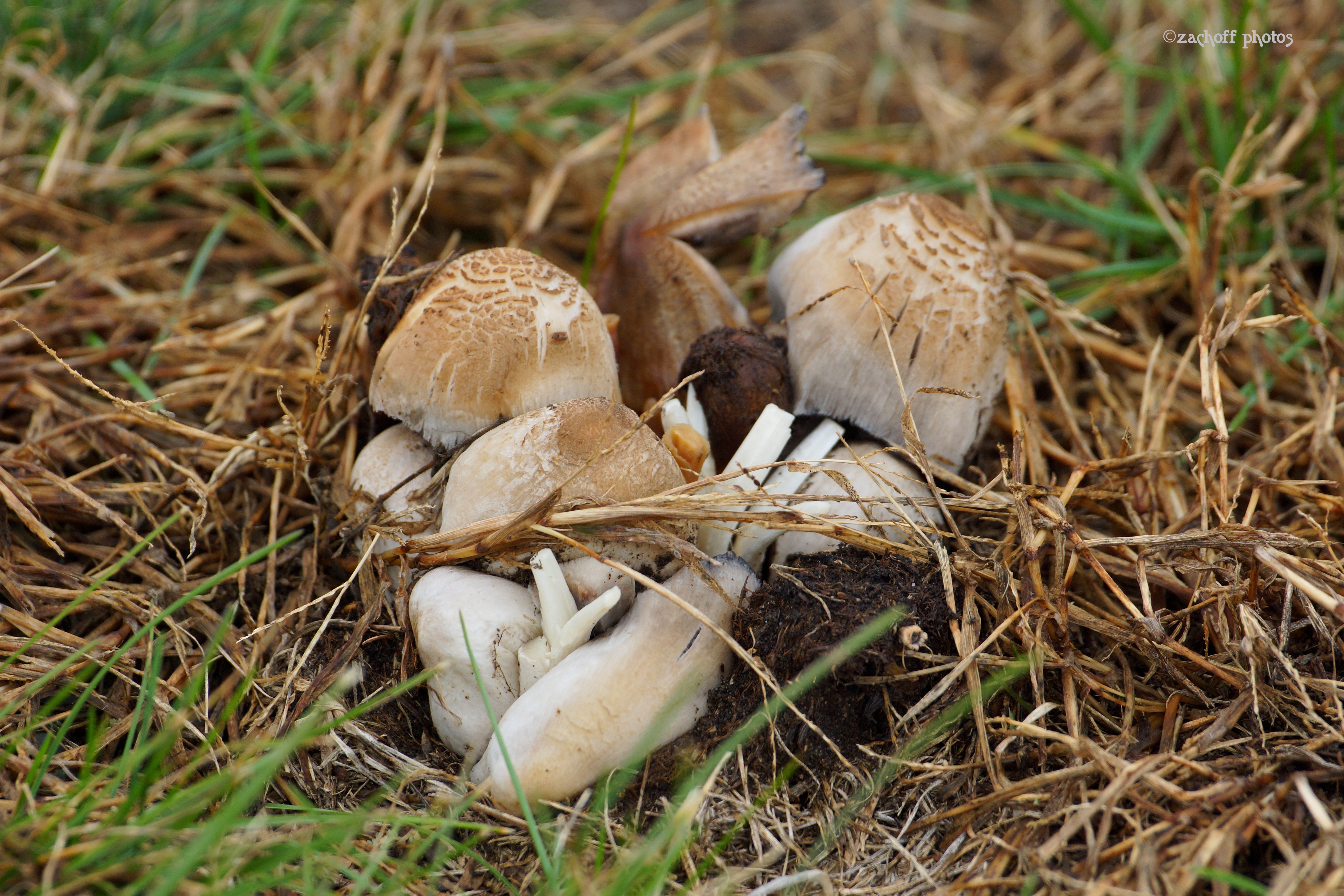
Mushrooms Anyone?

Miniture Tulips?
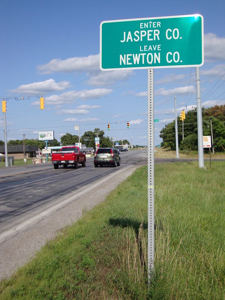
Enter Jasper County Sign (Jasper County, Indiana)
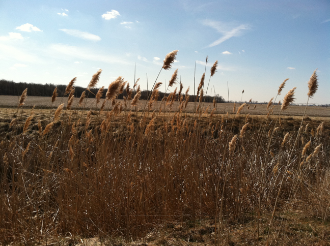
Common reed
2011-06-05_17-19-13_781
Oriental bittersweet
#farm

Hoosier State at Roselawn
2011-06-05_17-19-01_393
IMAG0555.jpg
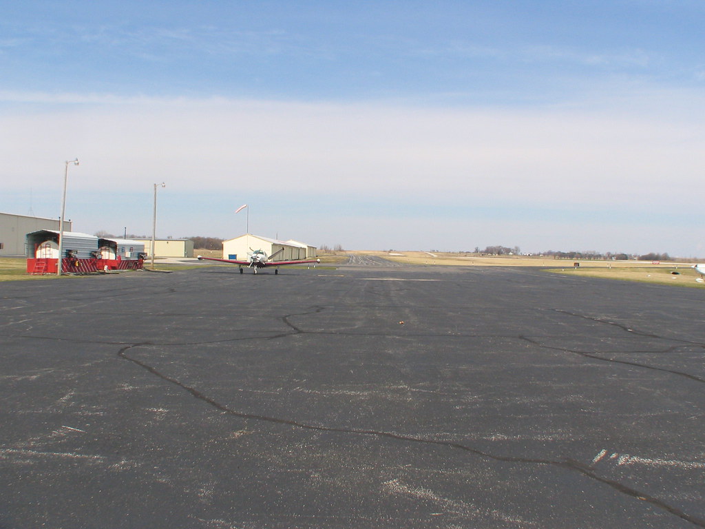
Jasper County Airport - behind the fence
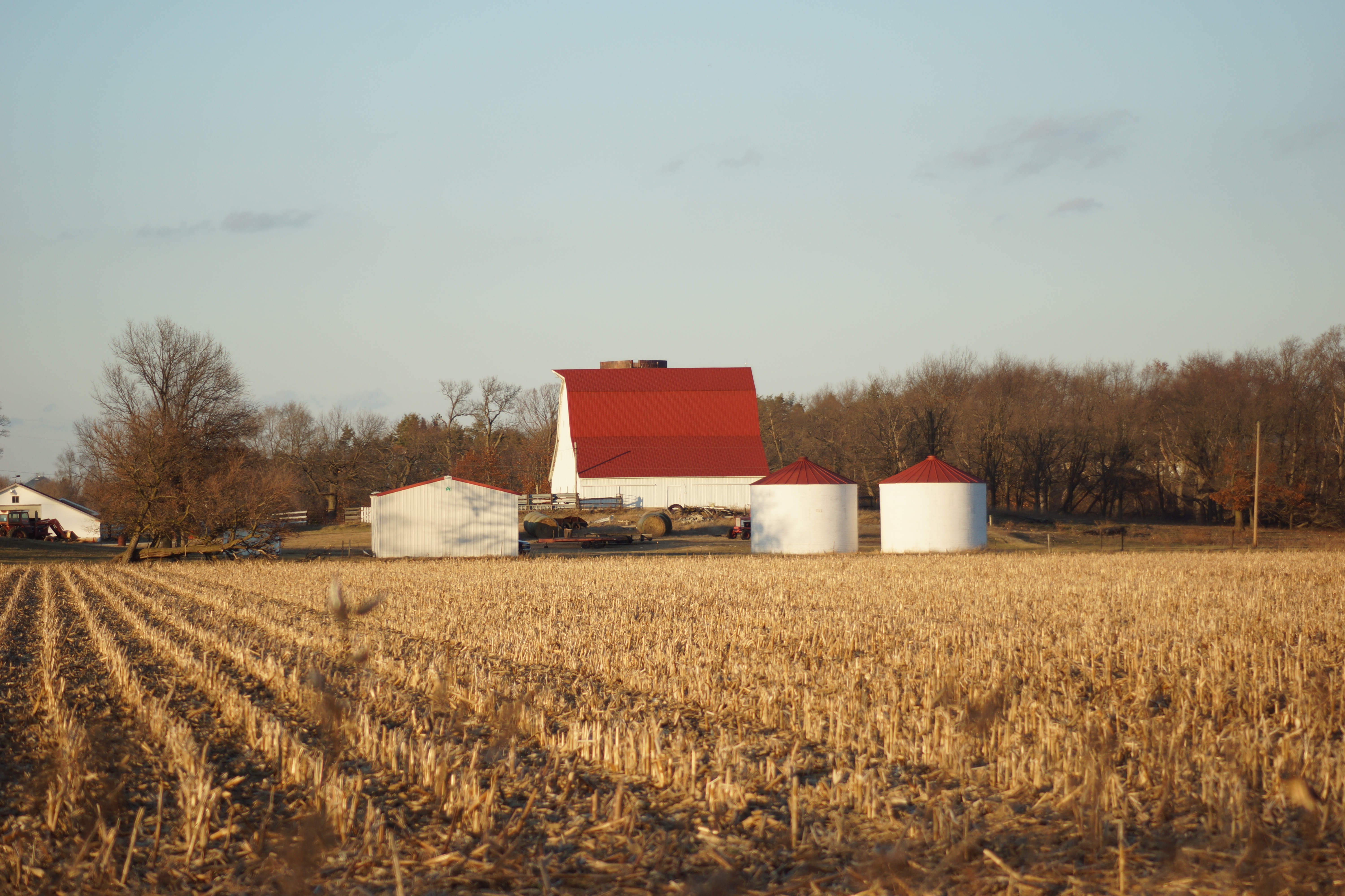
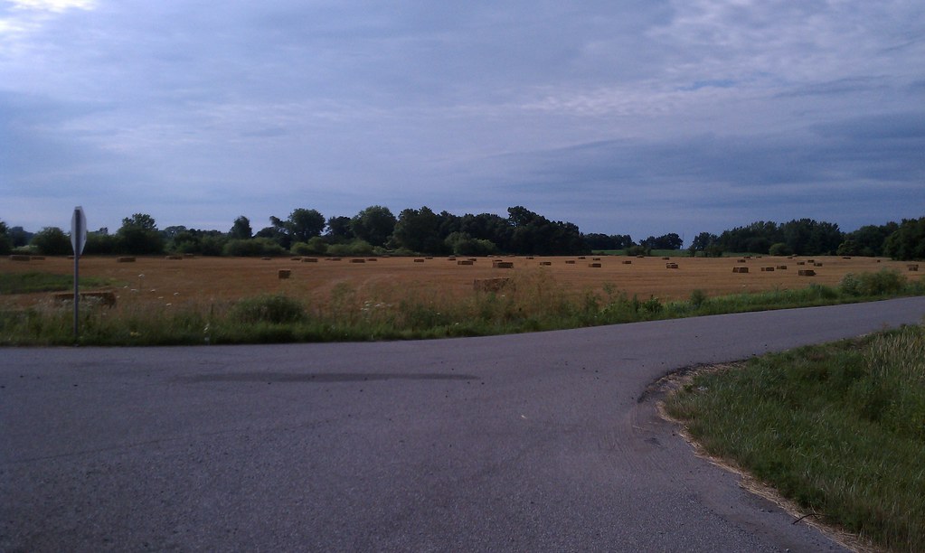
Local Farm
Topographic Map of Union Township, IN, USA
Find elevation by address:

Places in Union Township, IN, USA:
Places near Union Township, IN, USA:
County Rd, Fair Oaks, IN, USA
IN-14, Rensselaer, IN, USA
Fair Oaks
Kent St, Fair Oaks, IN, USA
Keener Township
De Motte
N County Rd W, De Motte, IN, USA
Mount Ayr
S 2nd St, Mt Ayr, IN, USA
Lincoln Township
Thayer
Jackson Township
IN-55, De Motte, IN, USA
Jordan Township
Egypt Rd, Rensselaer, IN, USA
400 W 950 N
19131 Clay St
Clay St, Hebron, IN, USA
Eagle Creek Township
IN-, Morocco, IN, USA
Recent Searches:
- Elevation of Corso Fratelli Cairoli, 35, Macerata MC, Italy
- Elevation of Tallevast Rd, Sarasota, FL, USA
- Elevation of 4th St E, Sonoma, CA, USA
- Elevation of Black Hollow Rd, Pennsdale, PA, USA
- Elevation of Oakland Ave, Williamsport, PA, USA
- Elevation of Pedrógão Grande, Portugal
- Elevation of Klee Dr, Martinsburg, WV, USA
- Elevation of Via Roma, Pieranica CR, Italy
- Elevation of Tavkvetili Mountain, Georgia
- Elevation of Hartfords Bluff Cir, Mt Pleasant, SC, USA