Elevation of Union Township, IN, USA
Location: United States > Indiana > Hendricks County >
Longitude: -86.550165
Latitude: 39.8787396
Elevation: 287m / 942feet
Barometric Pressure: 98KPa
Elevation Map:
Satellite Map:
Related Photos:

86/365 - Night Court

HCA Outdoor Gathering Space
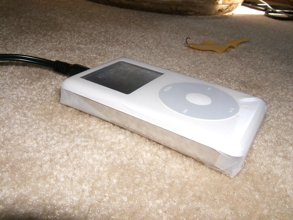
My new iPod case
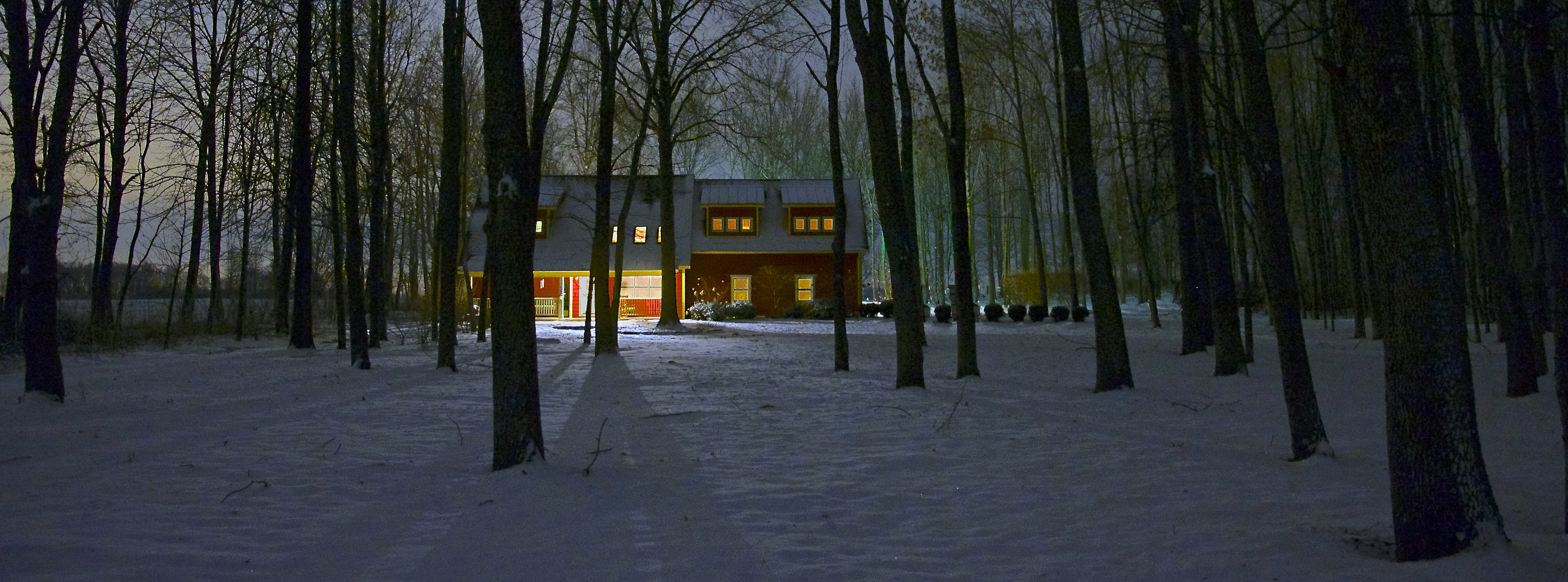
Winter Farm House (fb crop)

Winter Farm House

Pilot's View: Cessna 172SP

Moto West 2012
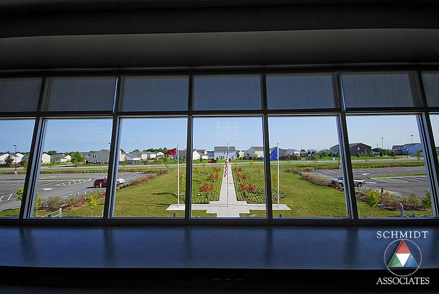
Media Center View
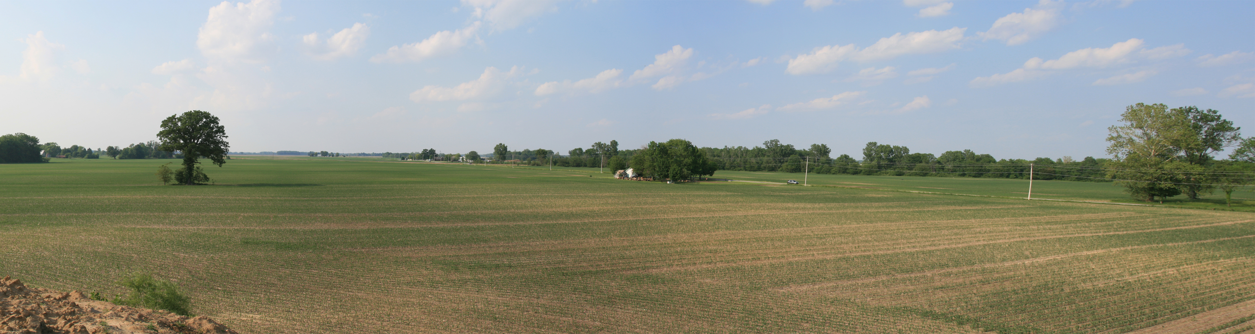
A Country View - Brownsburg, Indiana
10/52 -- Misty Morn
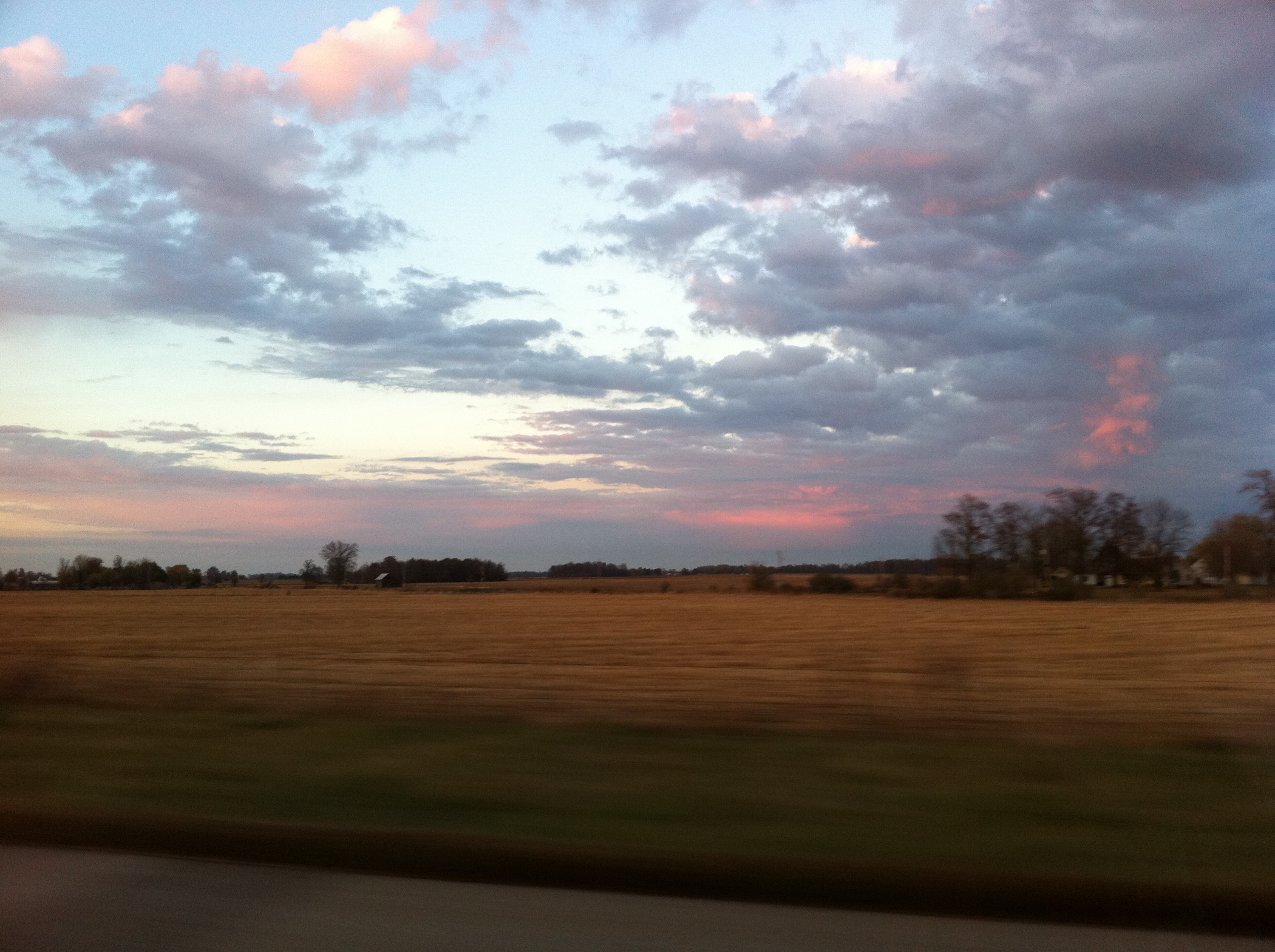
Prosperity once passed this way along the Ernie Pyle State Highway

Day 177: (Silver and) Gold
B E C K : June 11, 2014 at 02:41PM
CSX 7492 - Brownsburg, Indiana
2010-11-03-18h41m49s-IMG_1306

Sliver Streaks
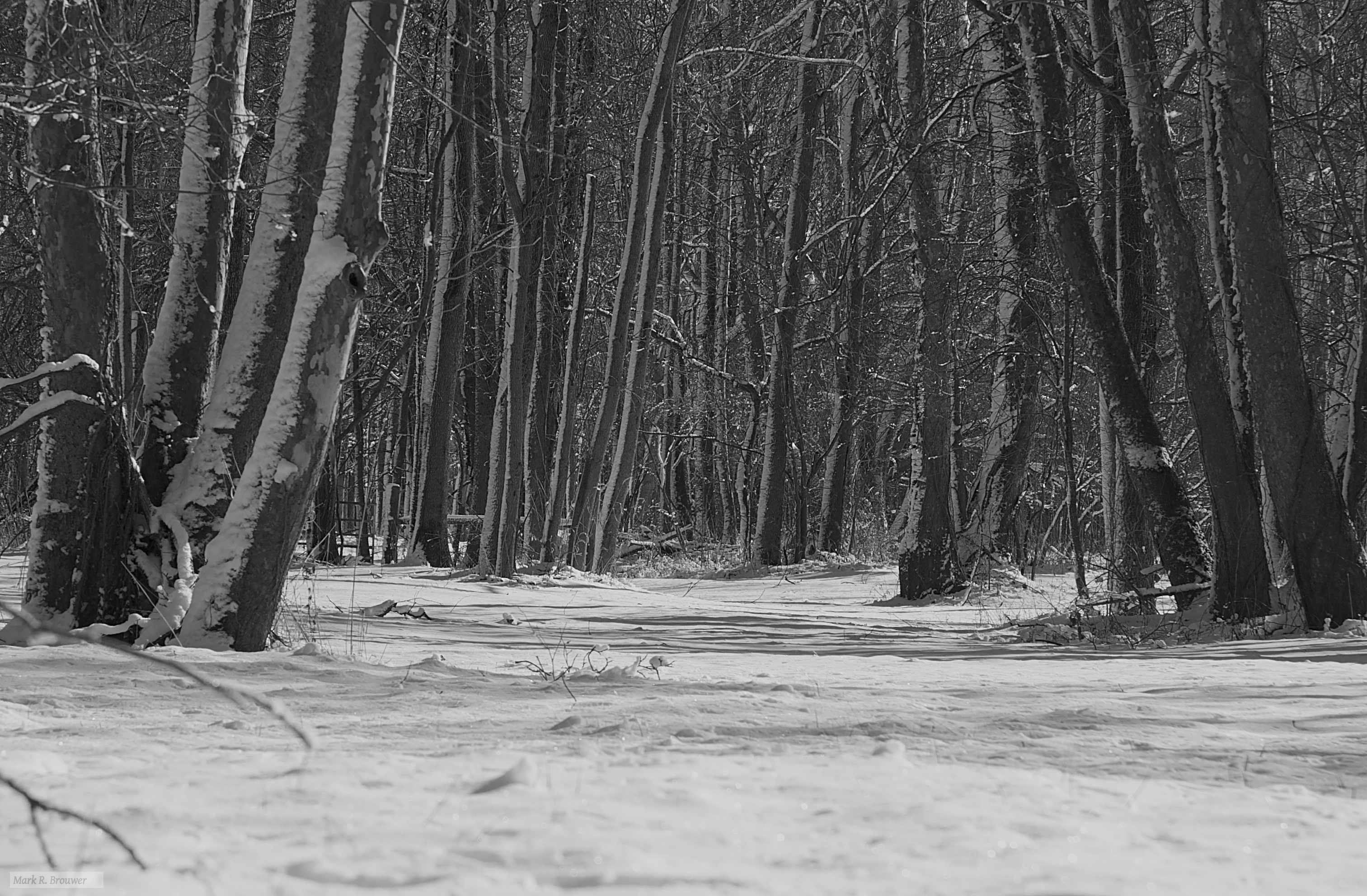
Into the Woods
the bridge

Little Things That Count
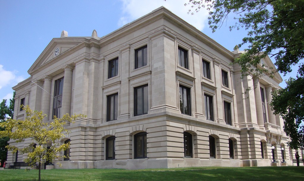
Hendricks County Courthouse (Danville, Indiana)

9568 Carolina Wren (CARW)

Brides Sunset
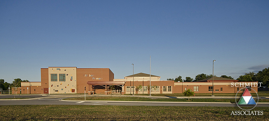
Pittsboro Primary Exterior
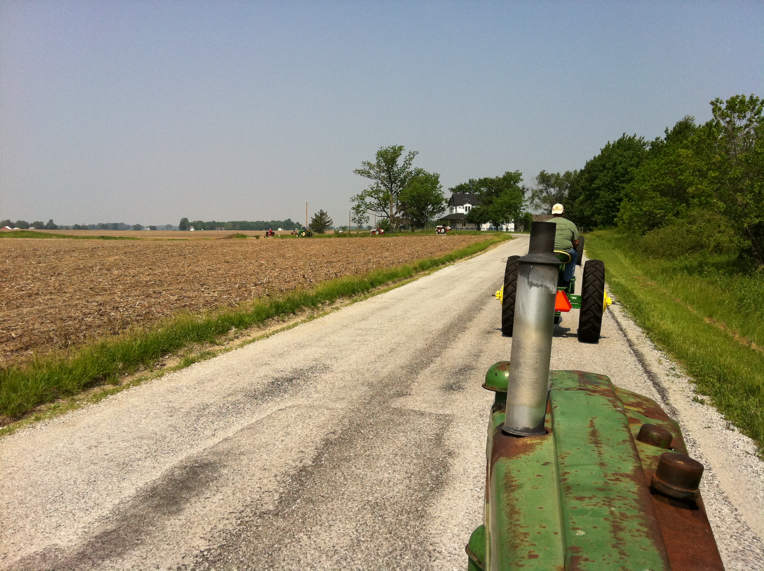
M on tractor drive
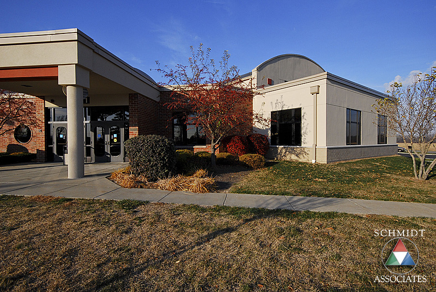
Front Entry Exterior
phone 7-10-12 027
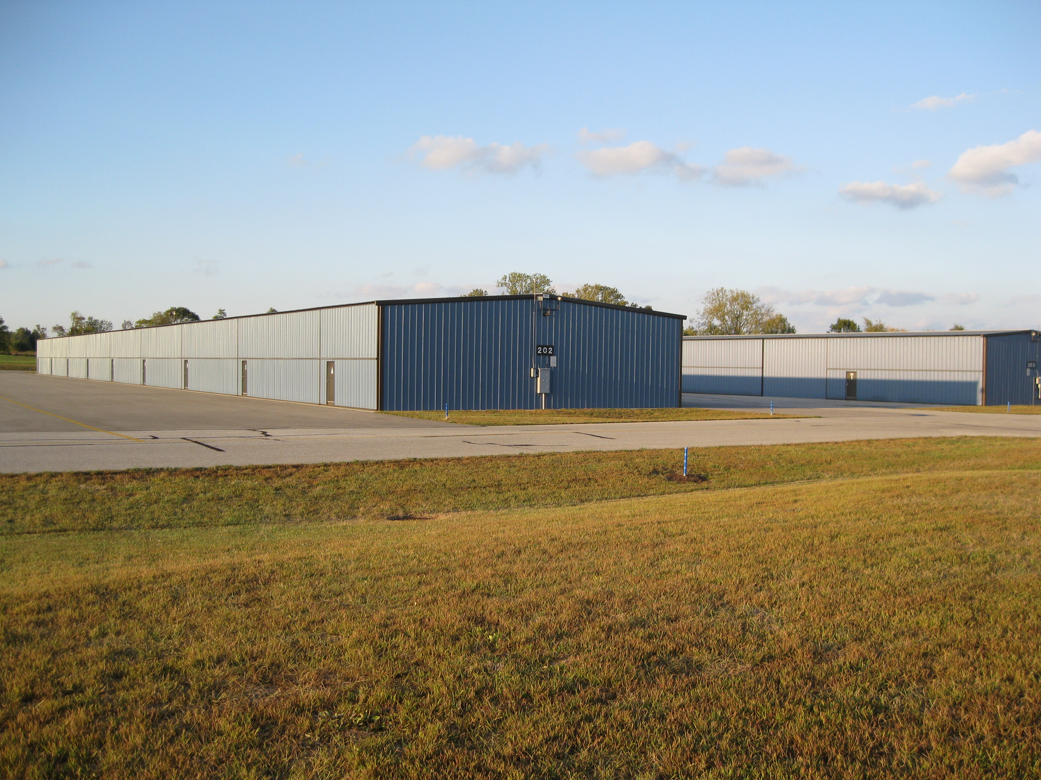
HCA: Hangars
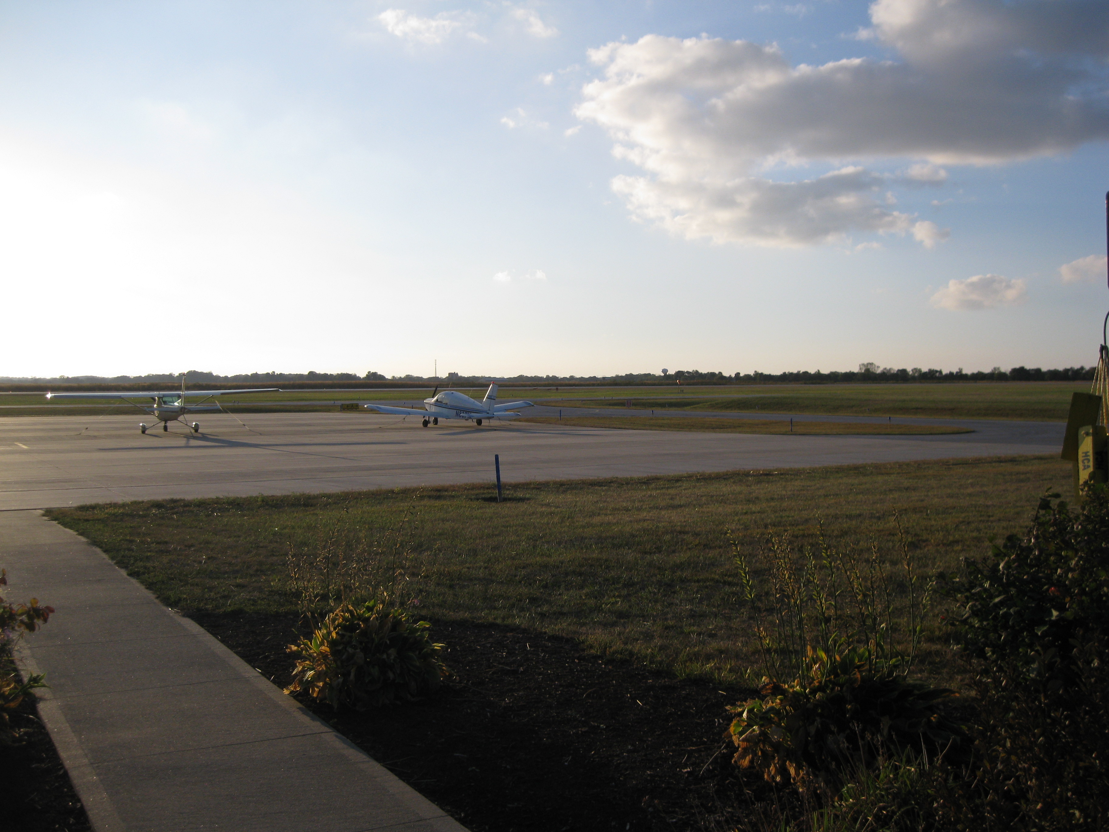
HCA Ramp / Sidewalk

Easter Egg Hunt.

20160521-182737-14
Topographic Map of Union Township, IN, USA
Find elevation by address:

Places in Union Township, IN, USA:
Places near Union Township, IN, USA:
Lizton
Montclair Rd, Lizton, IN, USA
Middle Township
Hendricks County
220 N Maple St
Pittsboro
53 N Maple St, Pittsboro, IN, USA
128 Stamford Dr
Eel River Township
Jamestown
North Salem
5262 In-75
Jackson Township
80 Torrey Pine Dr
Danville
W Main St, Danville, IN, USA
N County Rd E, Danville, IN, USA
1000 E Main St
Marion Township
IN-, North Salem, IN, USA
Recent Searches:
- Elevation of Elwyn Dr, Roanoke Rapids, NC, USA
- Elevation of Congressional Dr, Stevensville, MD, USA
- Elevation of Bellview Rd, McLean, VA, USA
- Elevation of Stage Island Rd, Chatham, MA, USA
- Elevation of Shibuya Scramble Crossing, 21 Udagawacho, Shibuya City, Tokyo -, Japan
- Elevation of Jadagoniai, Kaunas District Municipality, Lithuania
- Elevation of Pagonija rock, Kranto 7-oji g. 8"N, Kaunas, Lithuania
- Elevation of Co Rd 87, Jamestown, CO, USA
- Elevation of Tenjo, Cundinamarca, Colombia
- Elevation of Côte-des-Neiges, Montreal, QC H4A 3J6, Canada