Elevation of Union Hill Church Rd, Bakersville, NC, USA
Location: United States > North Carolina > Mitchell County > Bakersville > Bakersville >
Longitude: -82.267705
Latitude: 36.0222989
Elevation: 786m / 2579feet
Barometric Pressure: 92KPa
Elevation Map:
Satellite Map:
Related Photos:
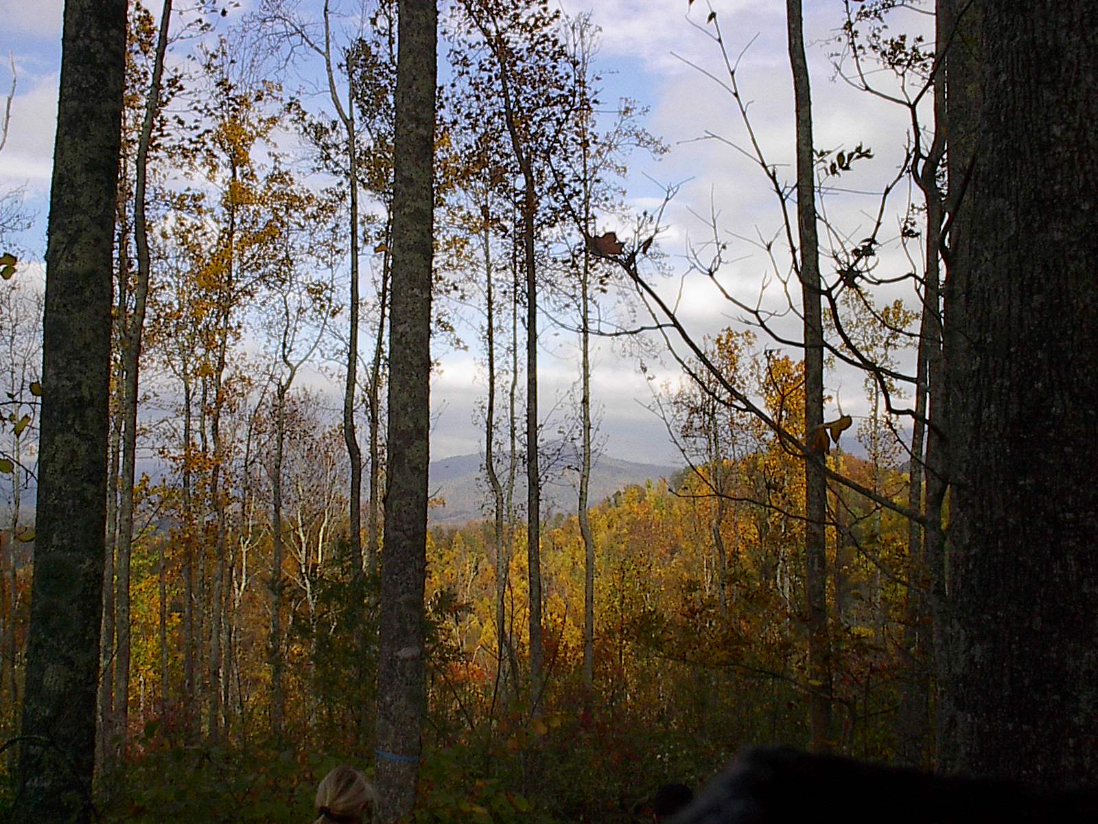
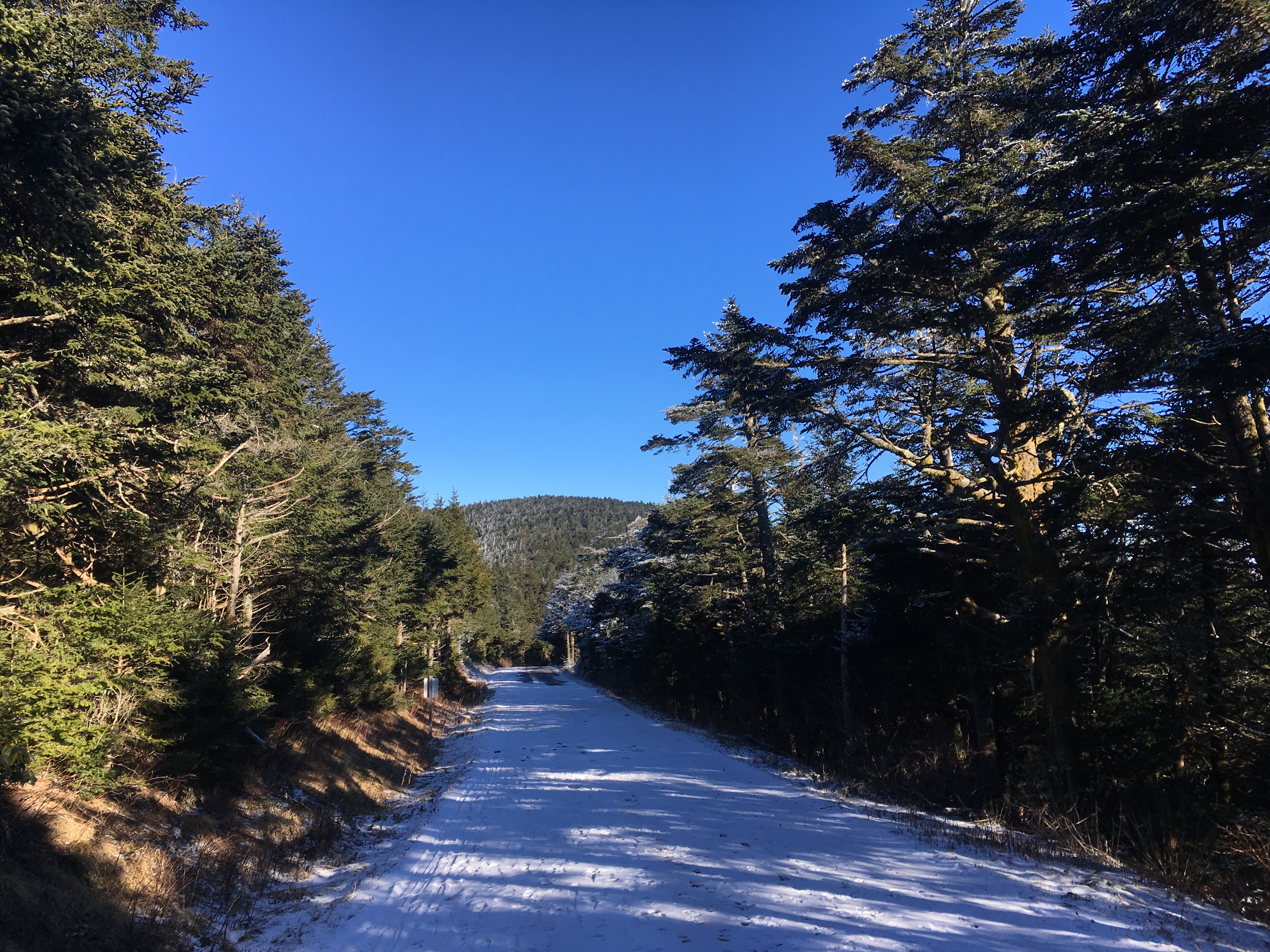
Trail View Heading to W4T/SU-005 - Roan High Knob
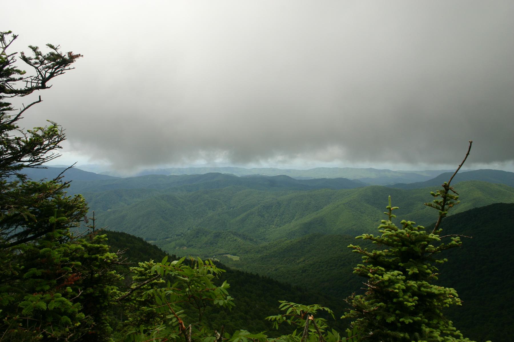
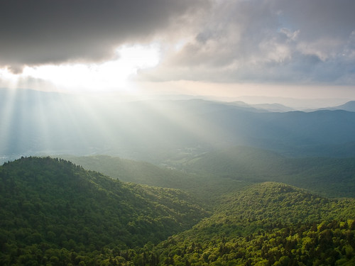
View from Roan High Bluff

Summer Retreat with Hill of Flowers
Roan High Bluff
view from Cloudland on Roan Mountain, Appalachian NST, TN2
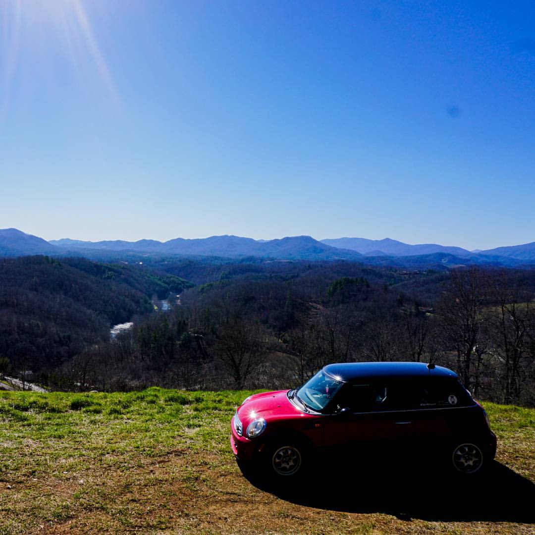
#MINI #View #Mountains #LetMeSellYouThisBeautifulLot
08-05-24 Cabin Deck View_06a
view from Cloudland on Roan Mountain, Appalachian NST, TN

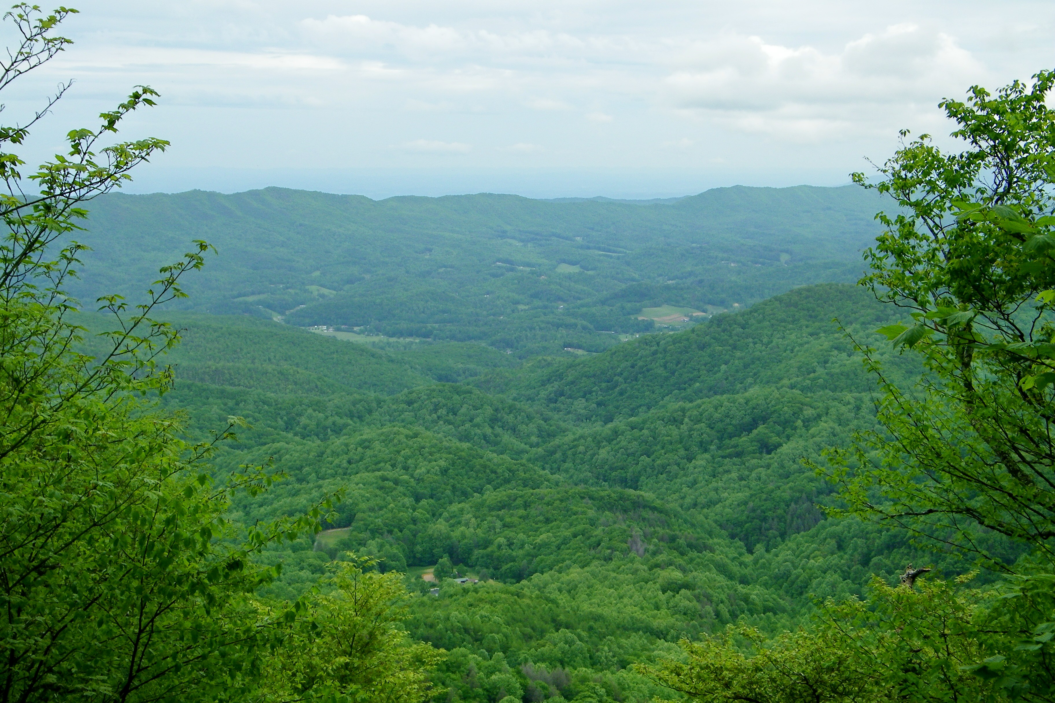
Tennessee valley
Appalachian Trail

THE MUMMY 3
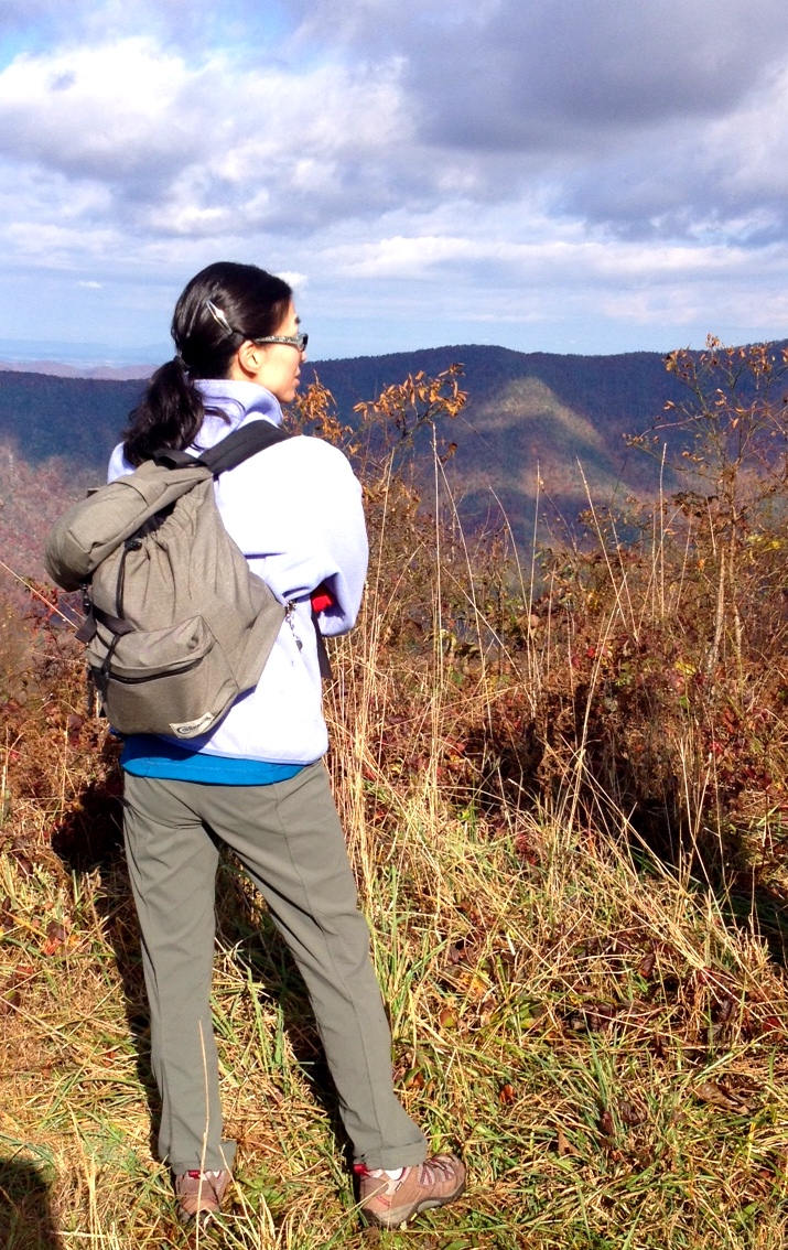
View from the top of the peak
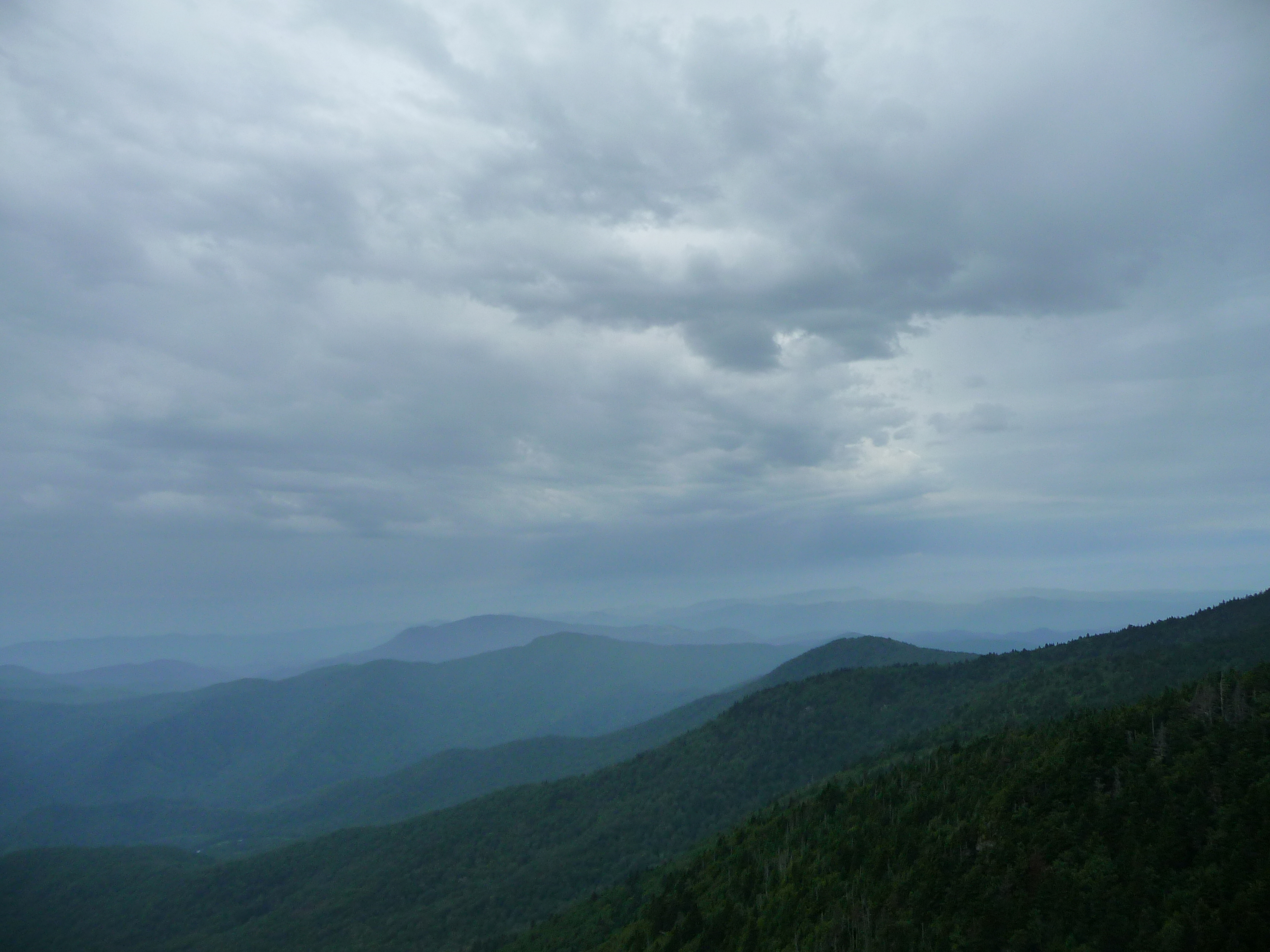
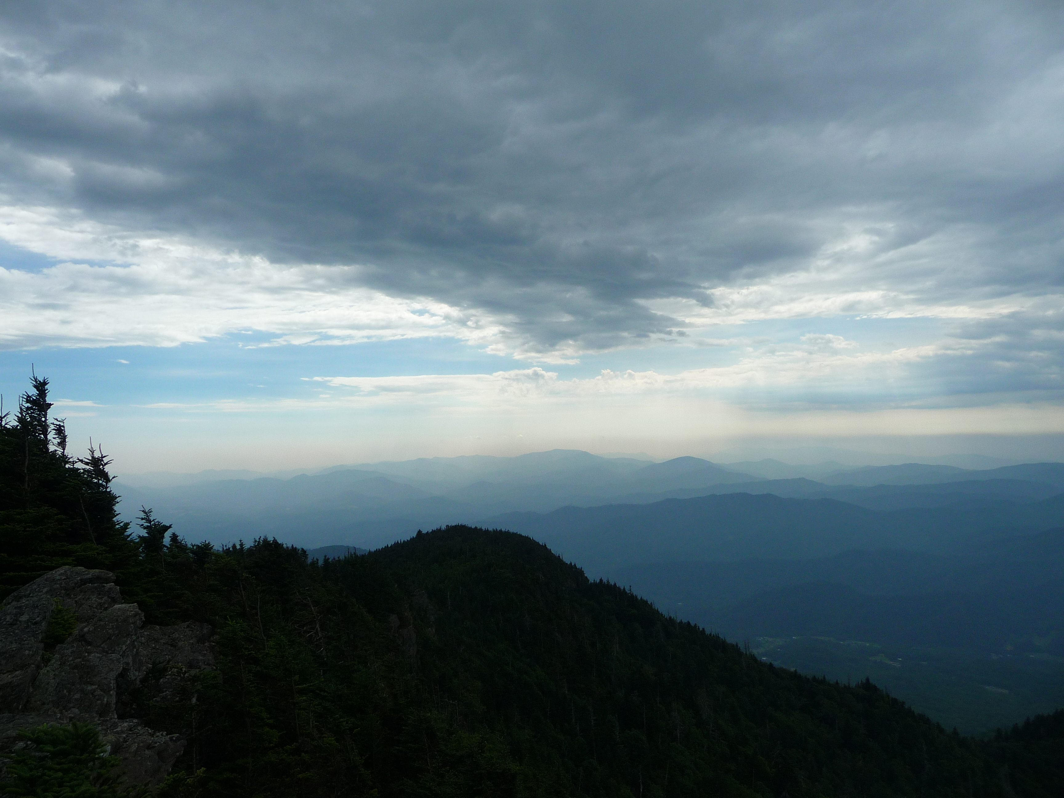
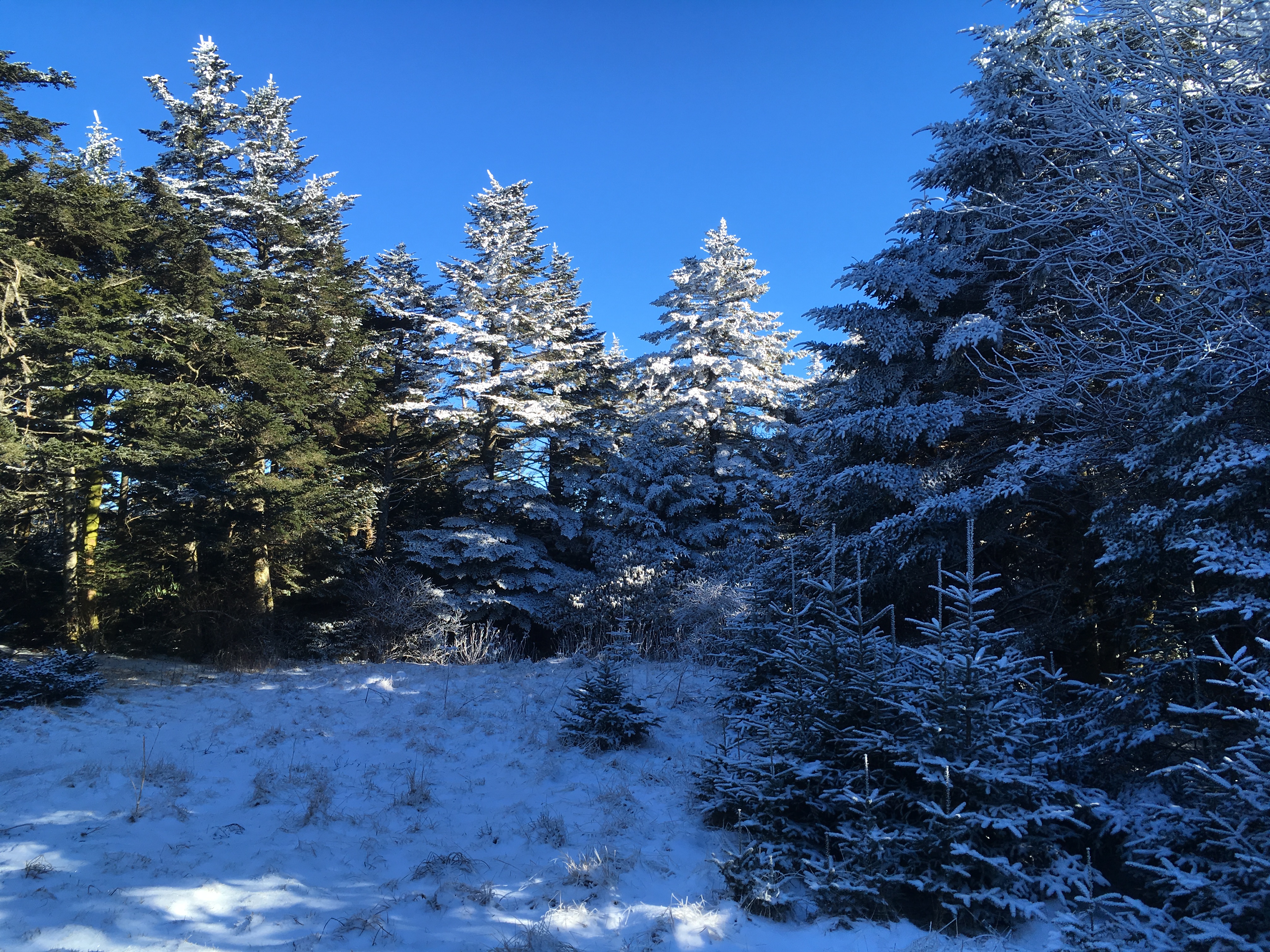
Low clouds over the forest. The view from the sumit of Roan Mountain.
View-Top of Lost Cove
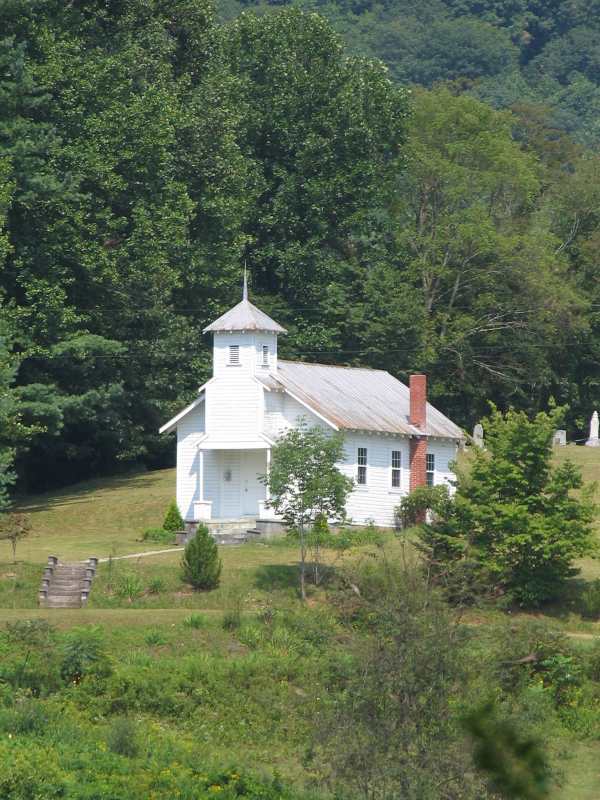
A rural mountain church in Kona, NC
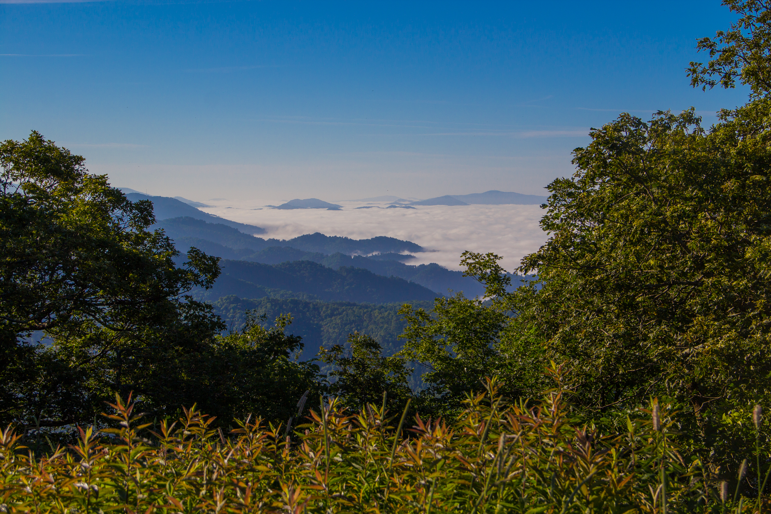
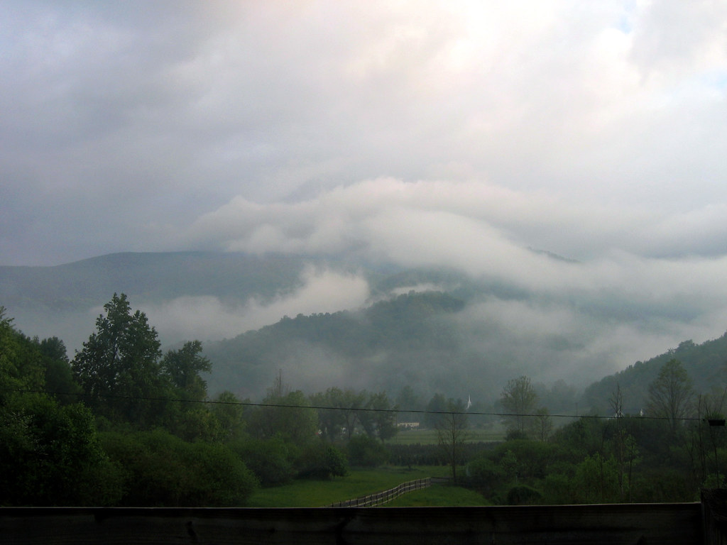
Fog Below Roan Mountain, Pisgah National Forest, North Carolina

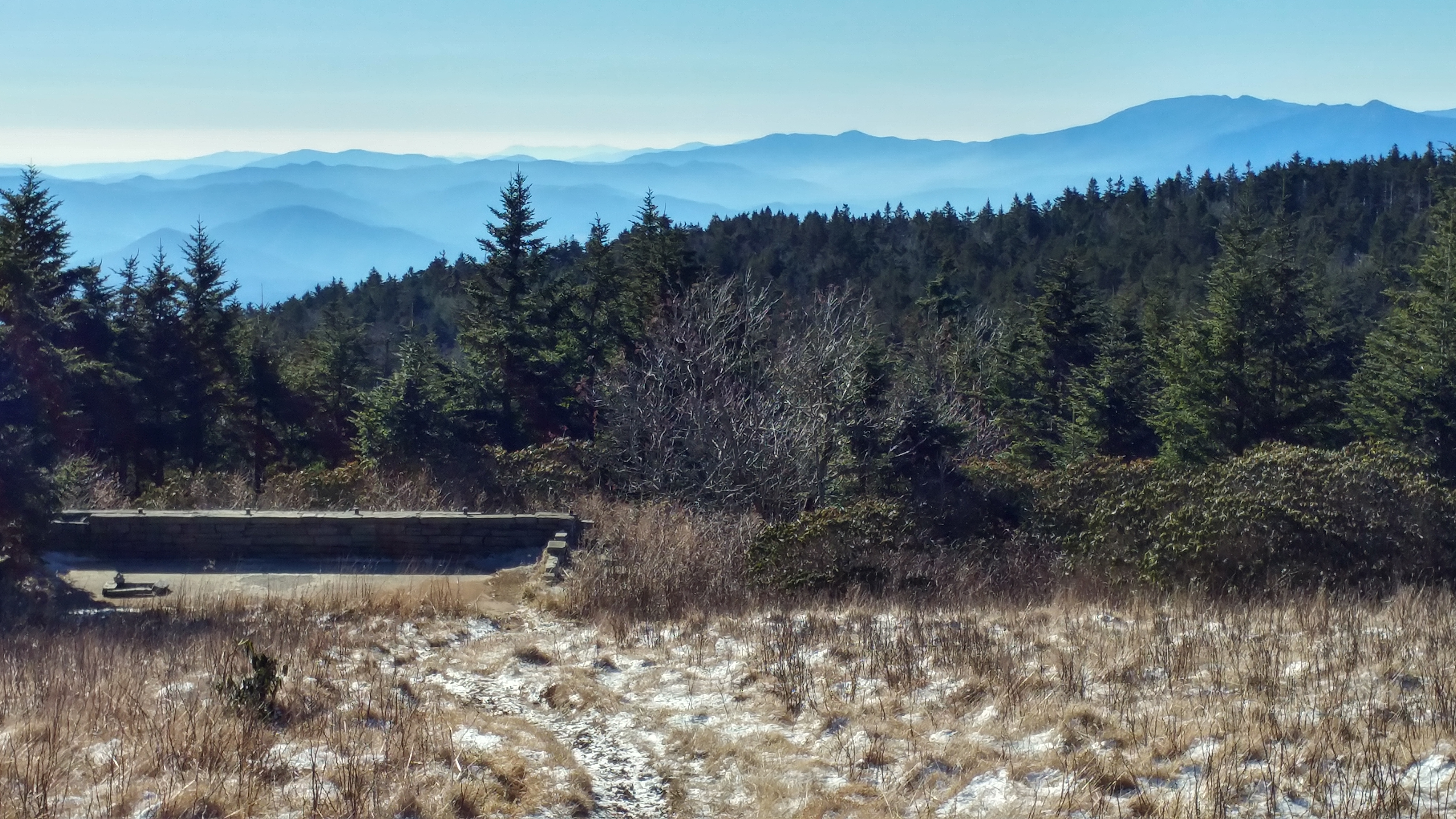
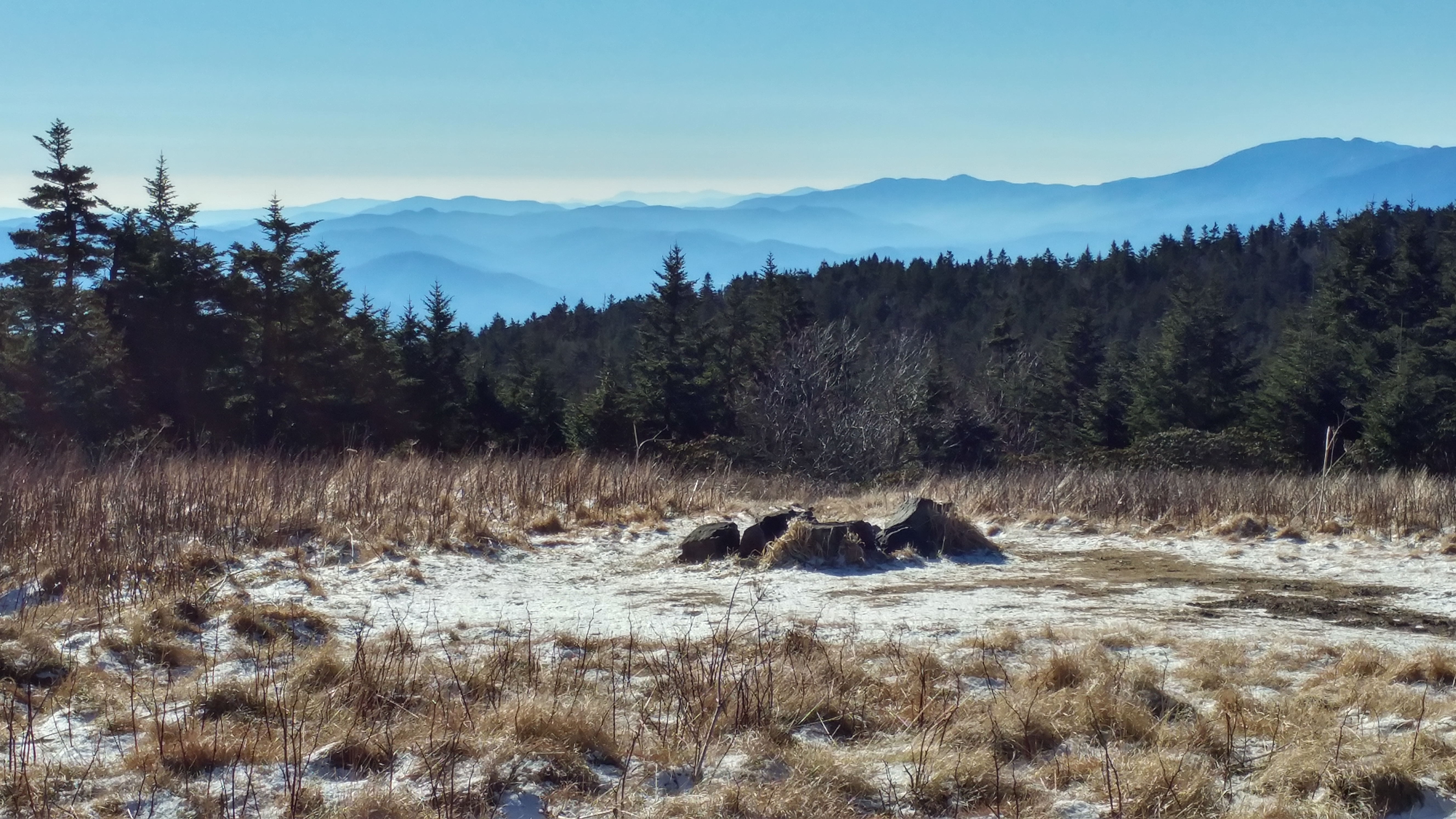
View from Beauty Spot
View from Roan High Bluff
Appalachian Trail

View from Beauty Spot
Beartown Mountain
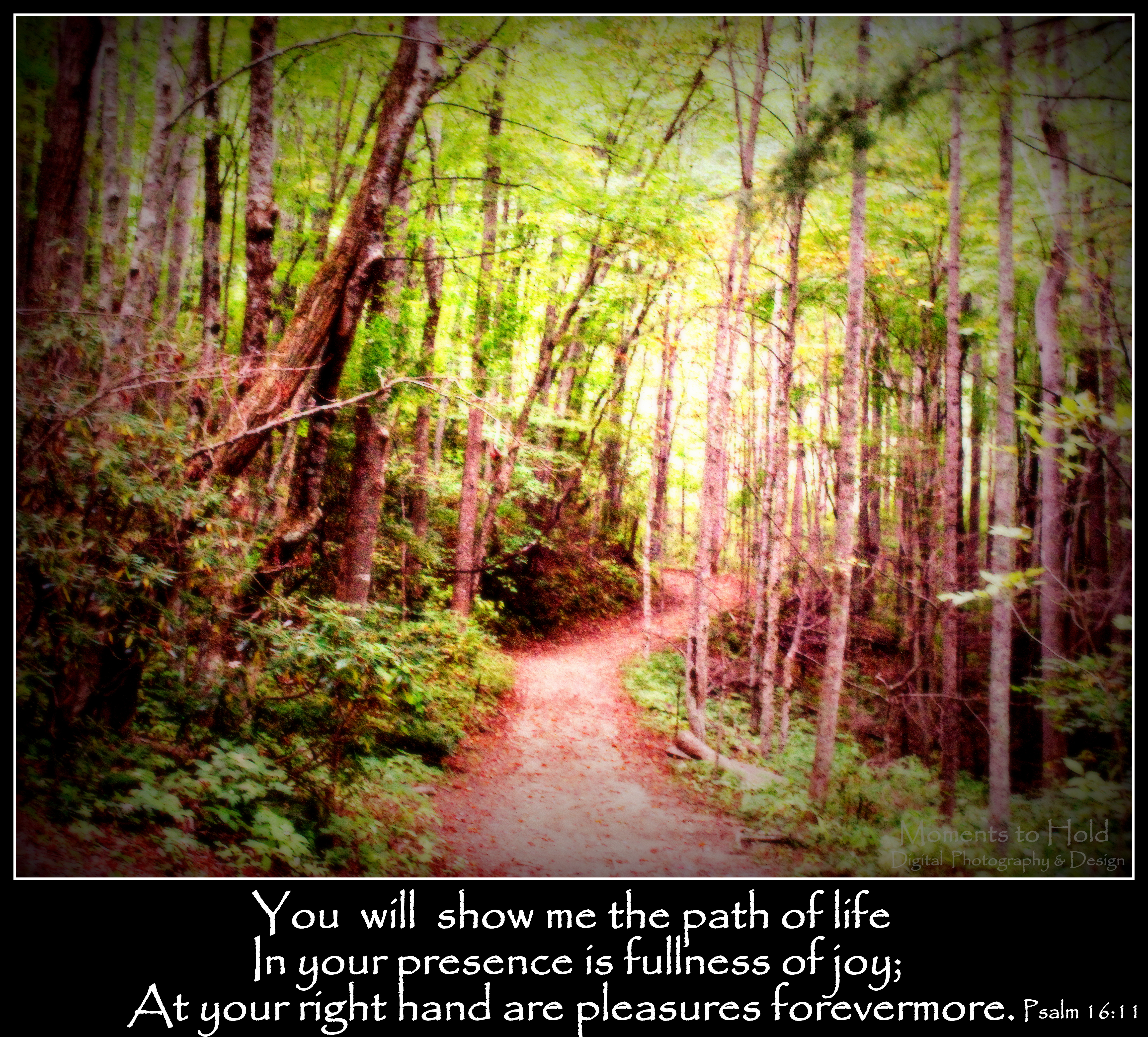
You will show me the path of life
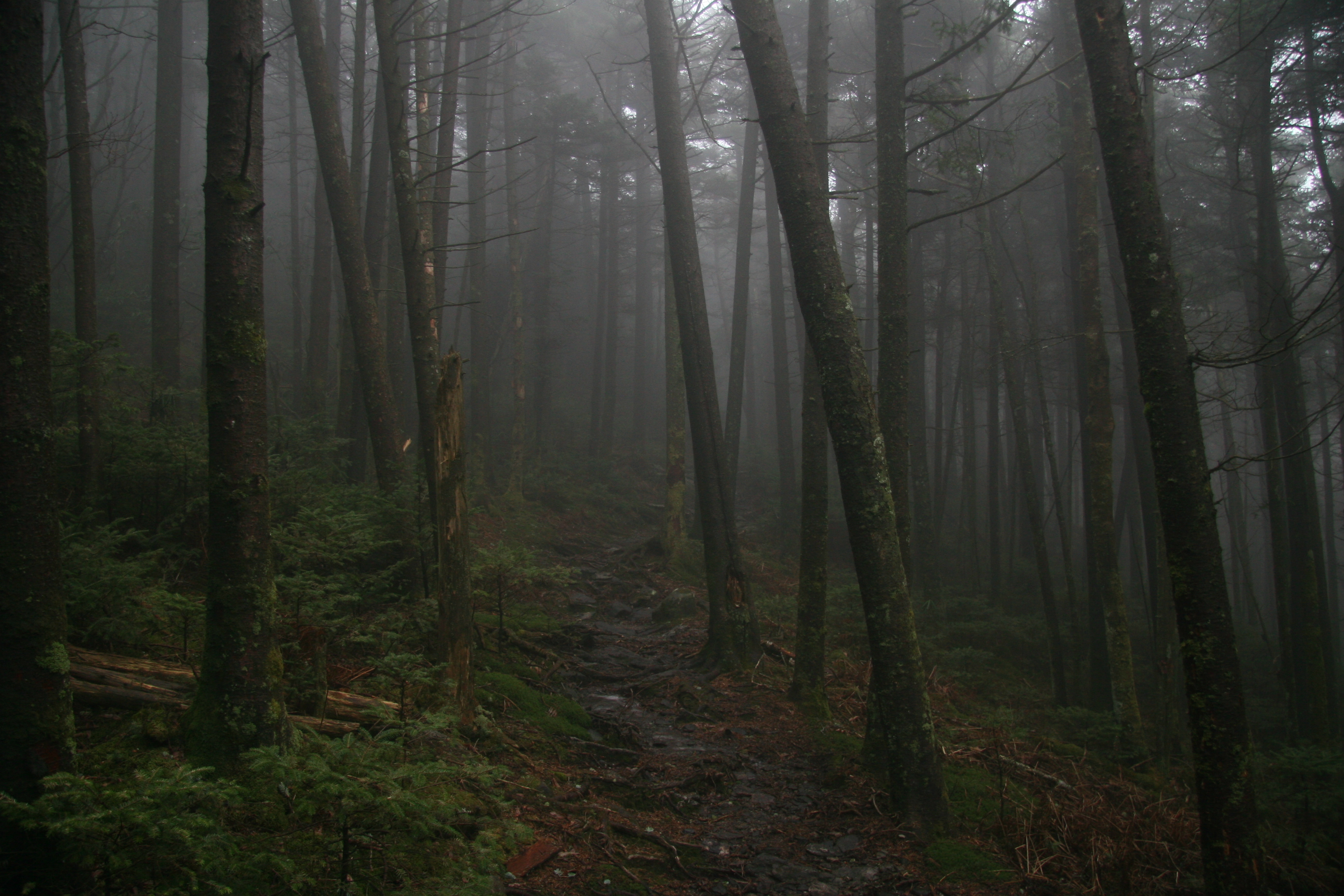
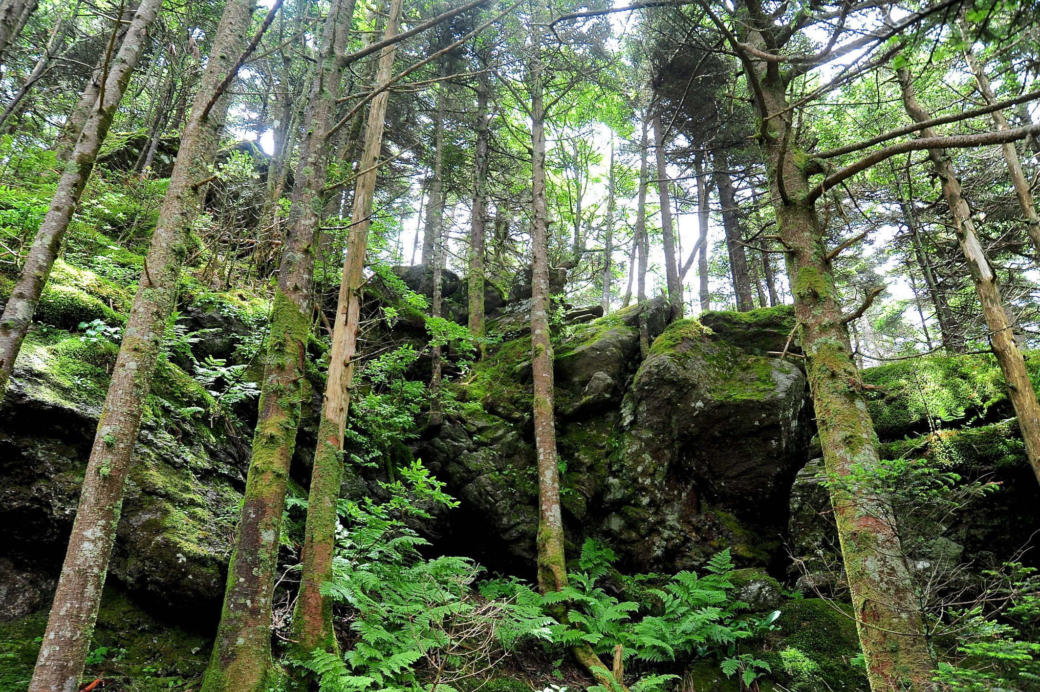
The Forbidding Woods
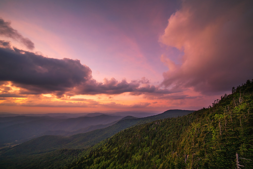
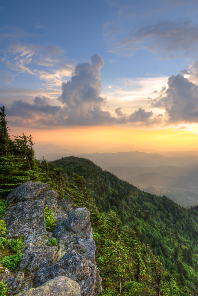
High Bluff Sunset
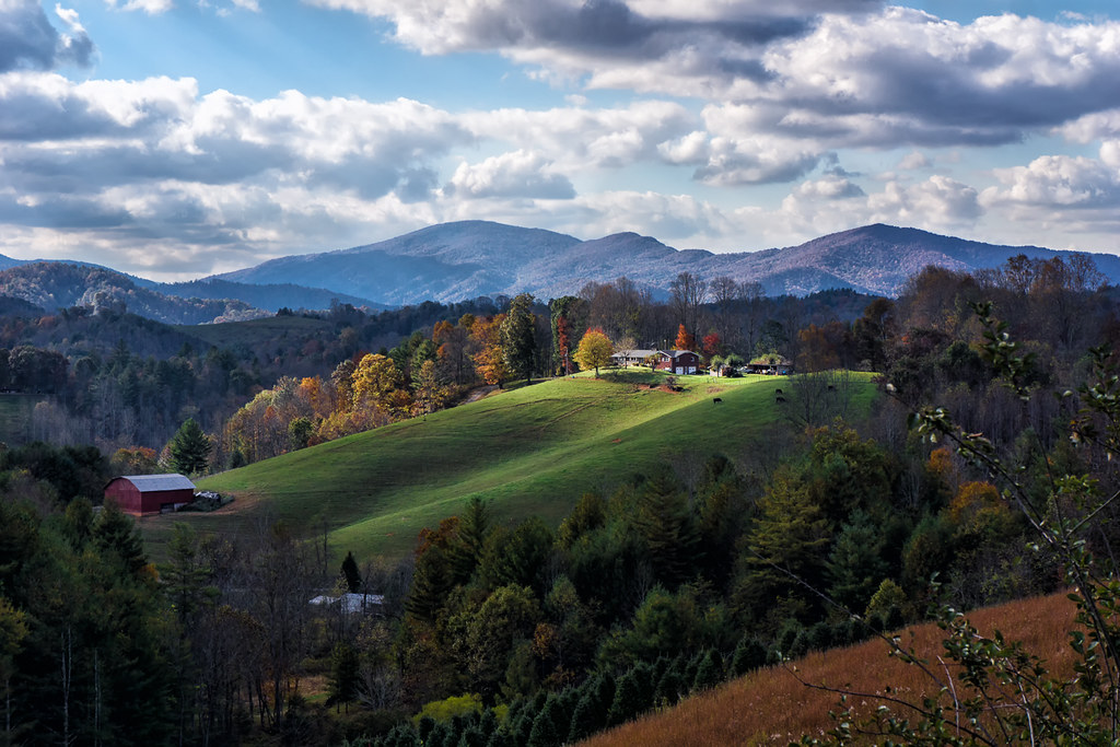
Light On The Hill: WNC
Nolichucky Gorge

Red Fork Falls
Brice Loads Along the Toe River
Roan Mt. Blessing

The Summer Retreat

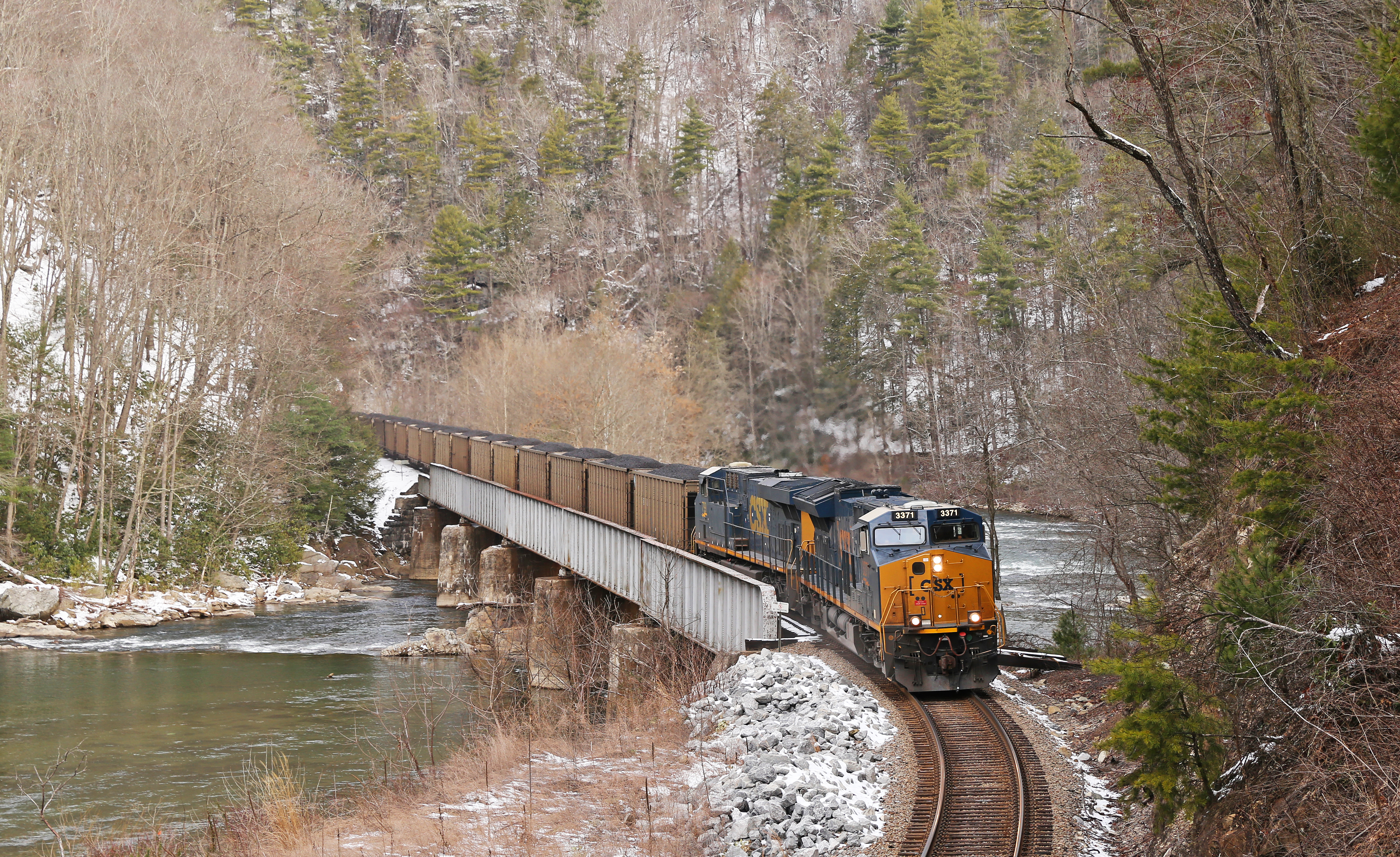
CSX Q692 @ Green Mountain
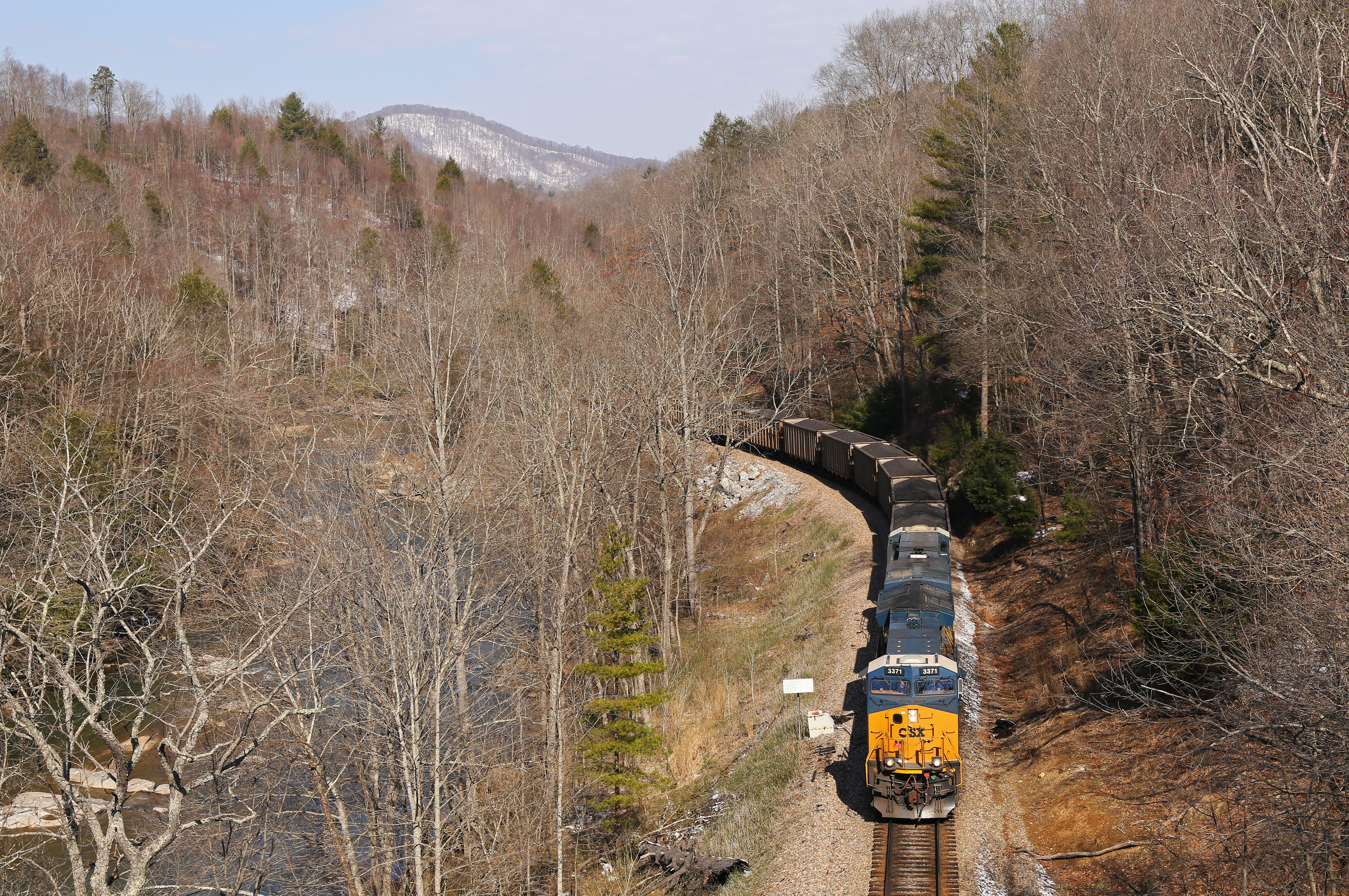
CSX @ Toecane, NC.

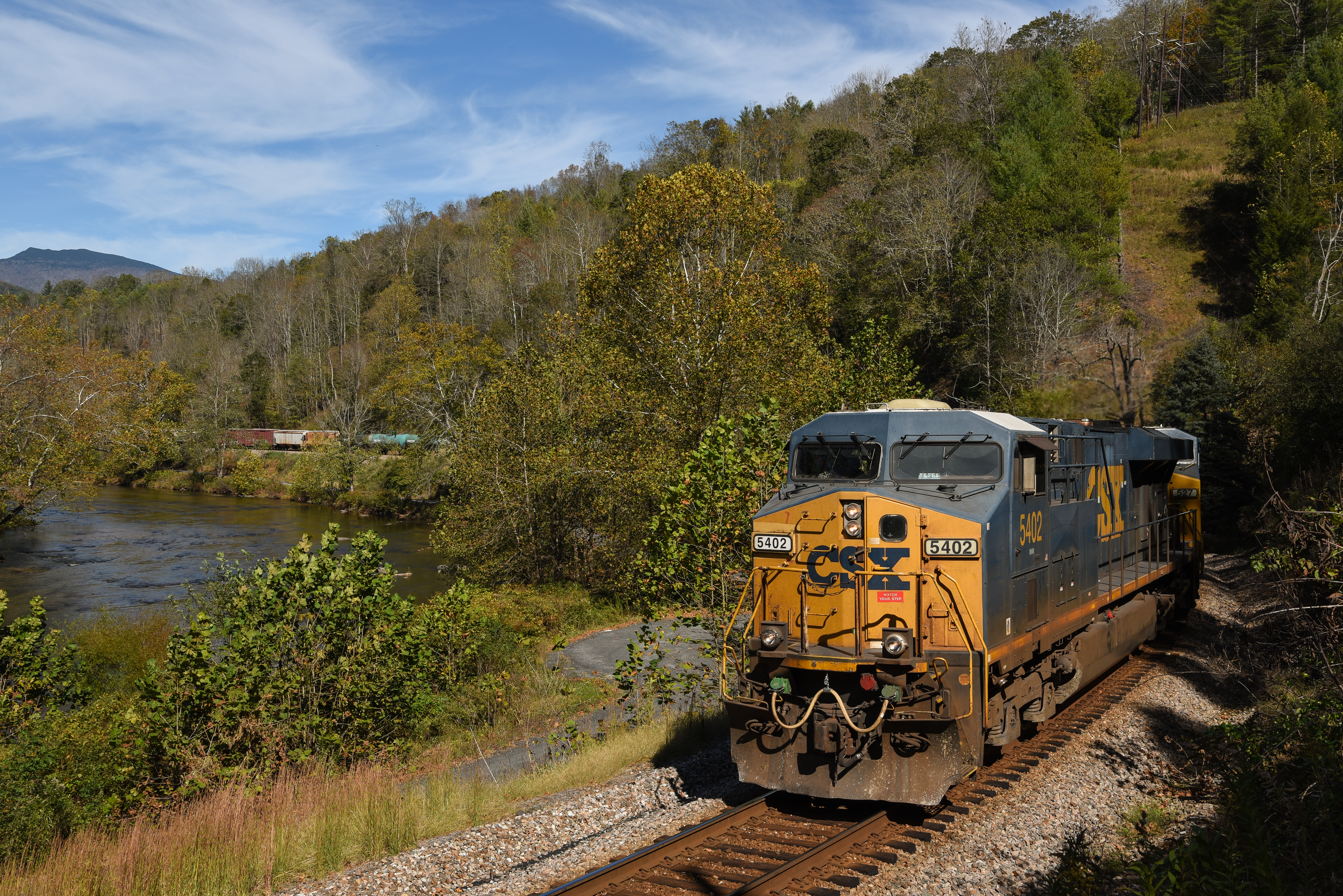
Roan Mountain

Racing Water
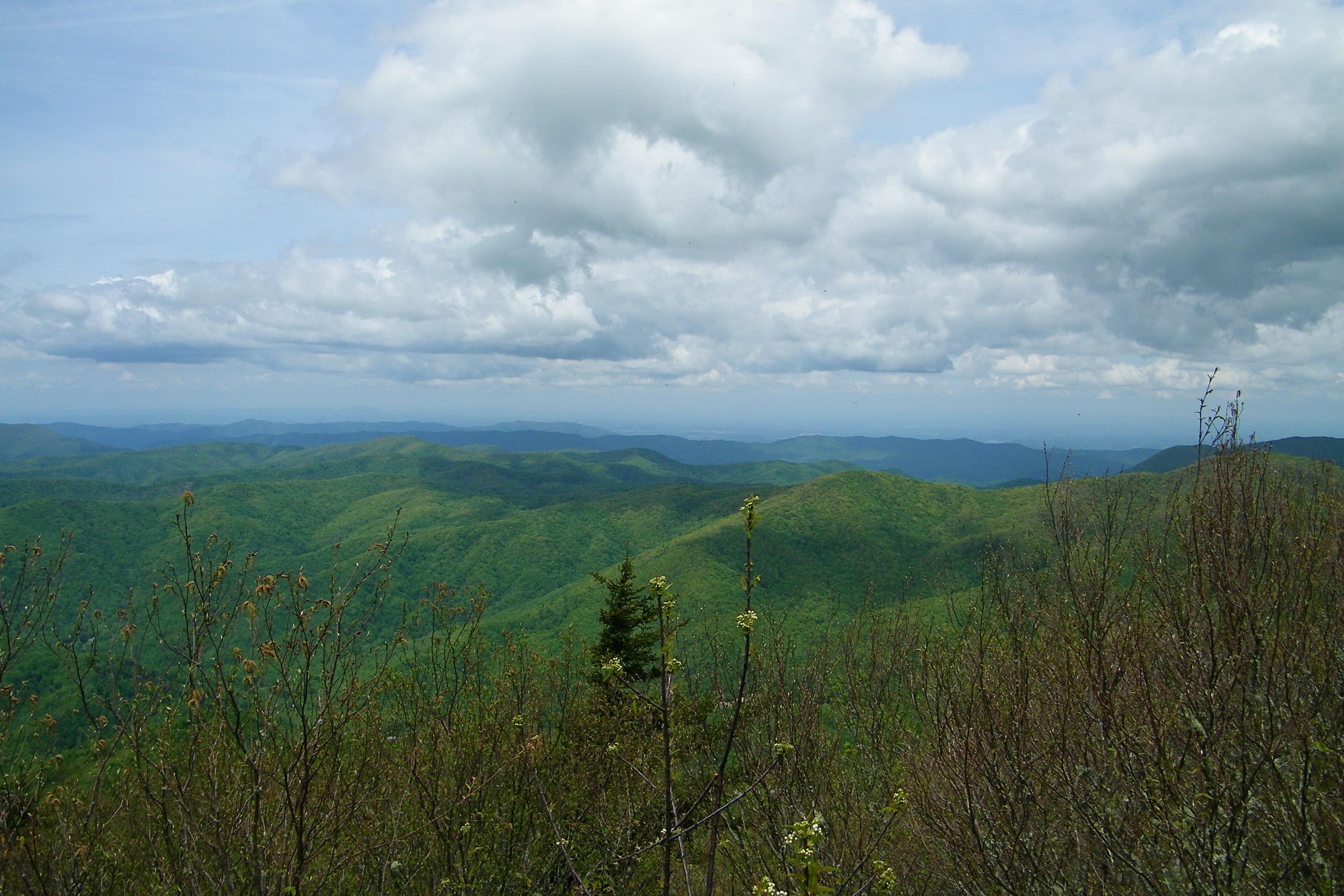
Roan highland
Roan highlands
Topographic Map of Union Hill Church Rd, Bakersville, NC, USA
Find elevation by address:

Places near Union Hill Church Rd, Bakersville, NC, USA:
515 Racoon Branch Rd
600 Tall Timber Ln
465 Tall Timber Ln
198 N Bend Dr
127 N Bend Dr
1476 N Bee Branch Rd
174 Relief Road Ext
8851 Jack's Creek Rd
Hill Road
Hill Road
8851 Jack's Creek Rd
Hopson Heritage Lane
Hopson Heritage Lane
30 Hill Rd
73 Butterfly Aly
Green Mountain, NC, USA
Green Mountain
115 Old Woods Dr
435 Sidewinder Dr
23 Sidewinder Dr
Recent Searches:
- Elevation of 6 Muir St, Medowie NSW, Australia
- Elevation of Woodland Road, Woodland Rd, Lee, MA, USA
- Elevation of Turner Mill Rd, Talladega, AL, USA
- Elevation of Wylie Ridge Rd, New Cumberland, WV, USA
- Elevation of Dogwood Ln, Millsboro, DE, USA
- Elevation of Paseo Lucido, San Diego, CA, USA
- Elevation of W S, Orem, UT, USA
- Elevation of Water Bird Wy, Punta Gorda, FL, USA
- Elevation of Teiskontie 8, Tampere, Finland
- Elevation of Pacific View Dr, Malibu, CA, USA