Elevation of Union Hall, VA, USA
Location: United States > Virginia > Franklin County >
Longitude: -79.717551
Latitude: 36.9999585
Elevation: 282m / 925feet
Barometric Pressure: 98KPa
Elevation Map:
Satellite Map:
Related Photos:

A Field of Susans 2

The Potter

Beets and Cold Water

A Field of Susans
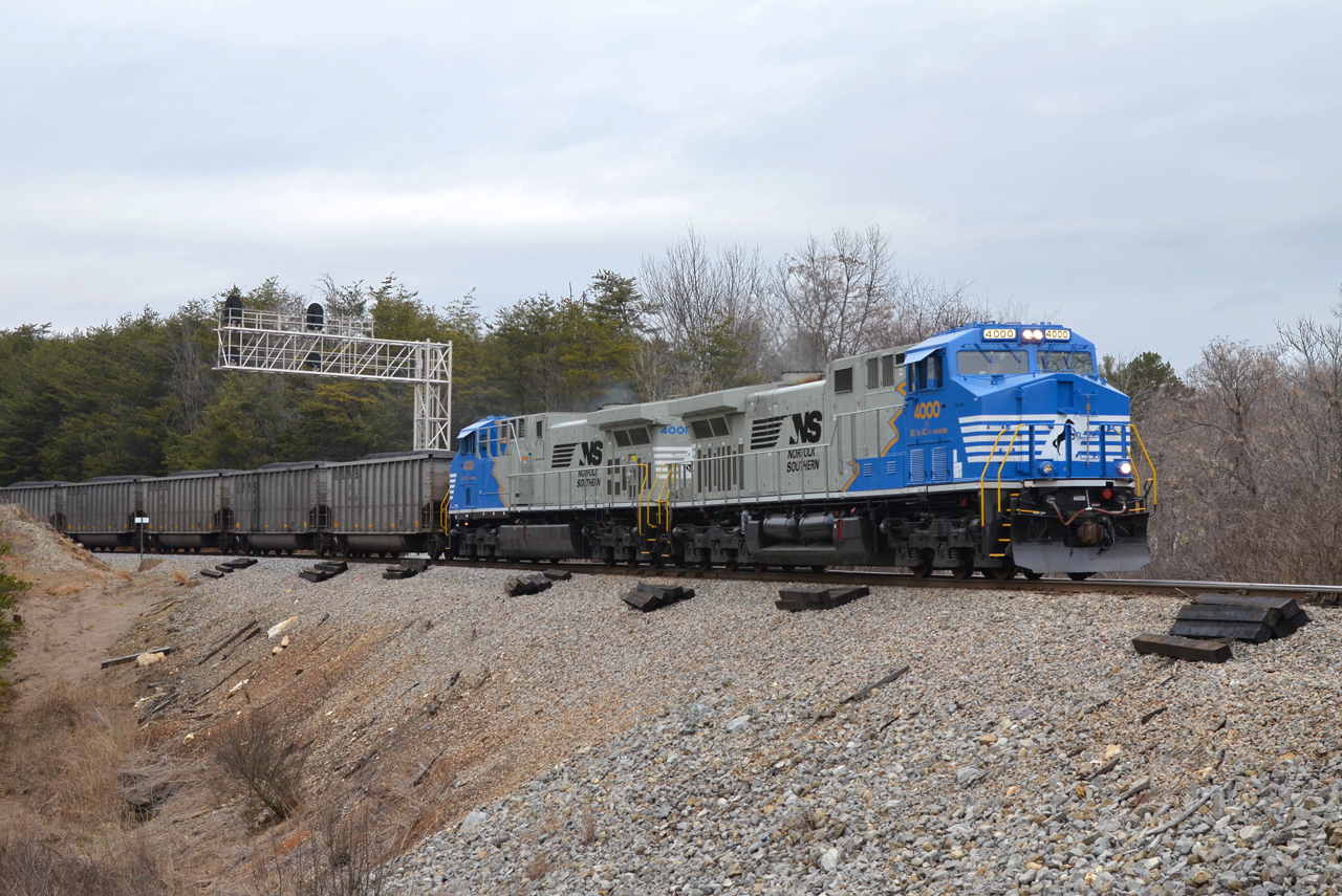
2016 02-12 1552.8 NS AC44C6M-4000, 4001 S/B 746 at Rocky Mount, VA

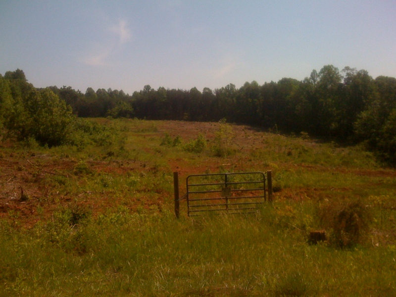
Scarecrow Fence
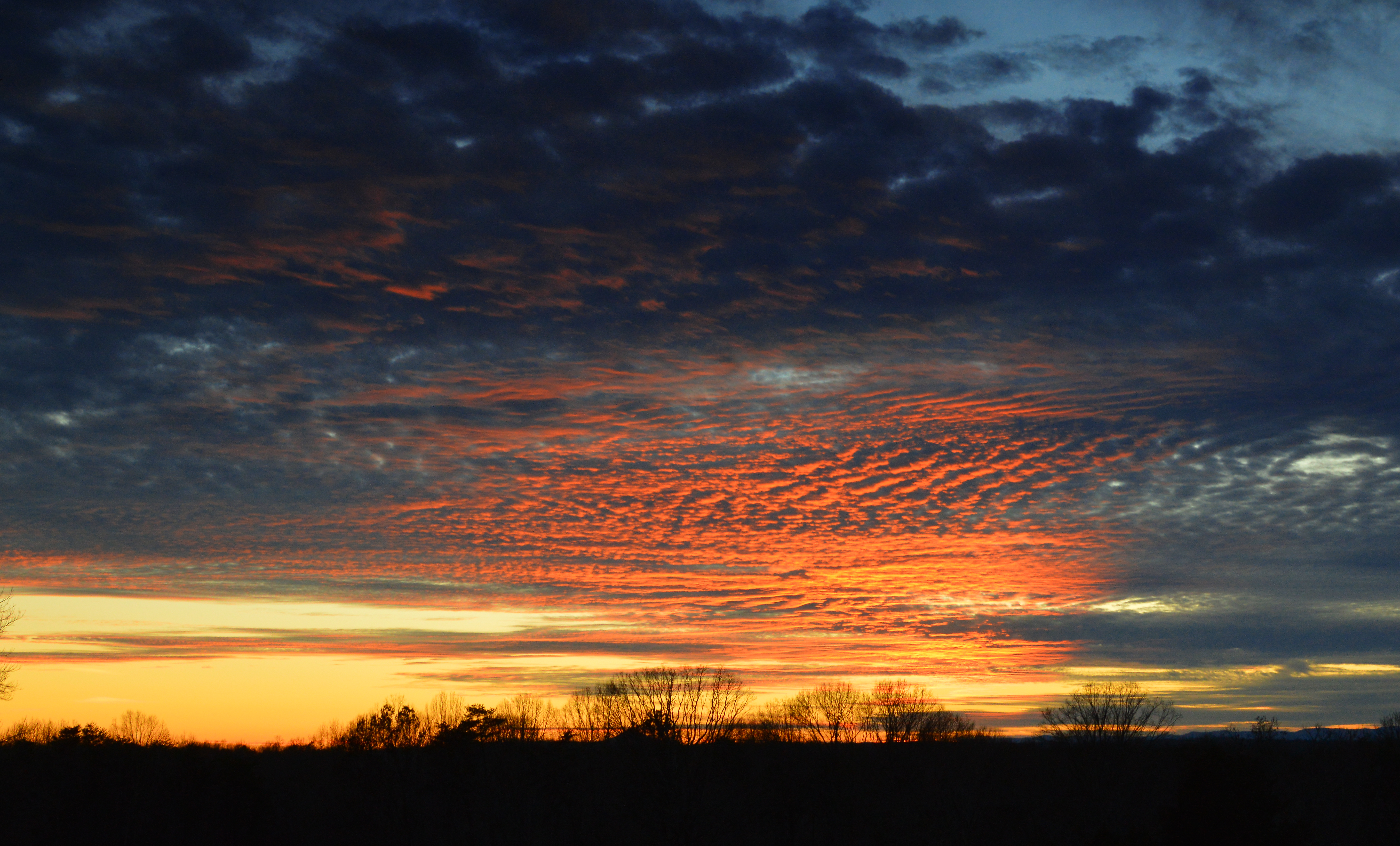
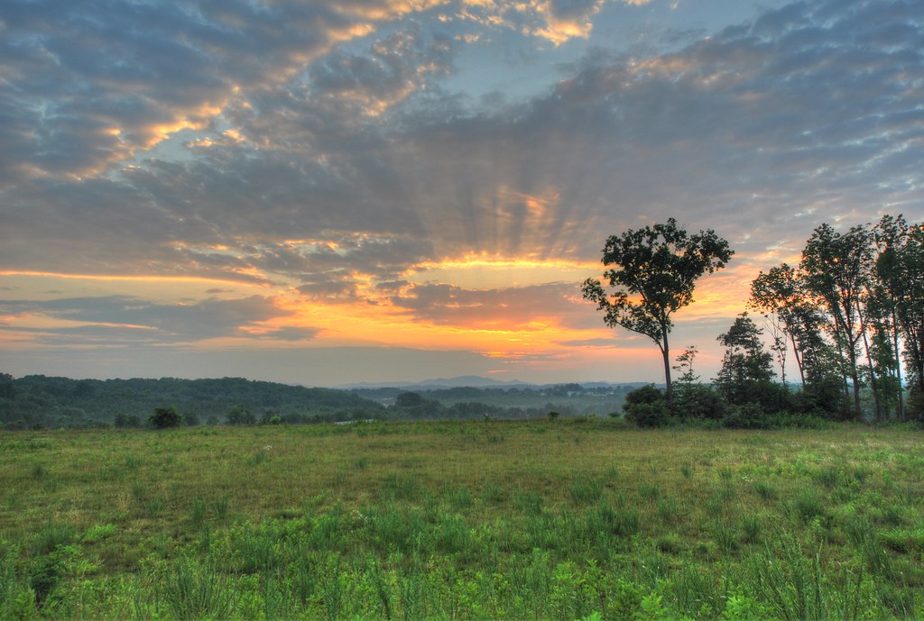
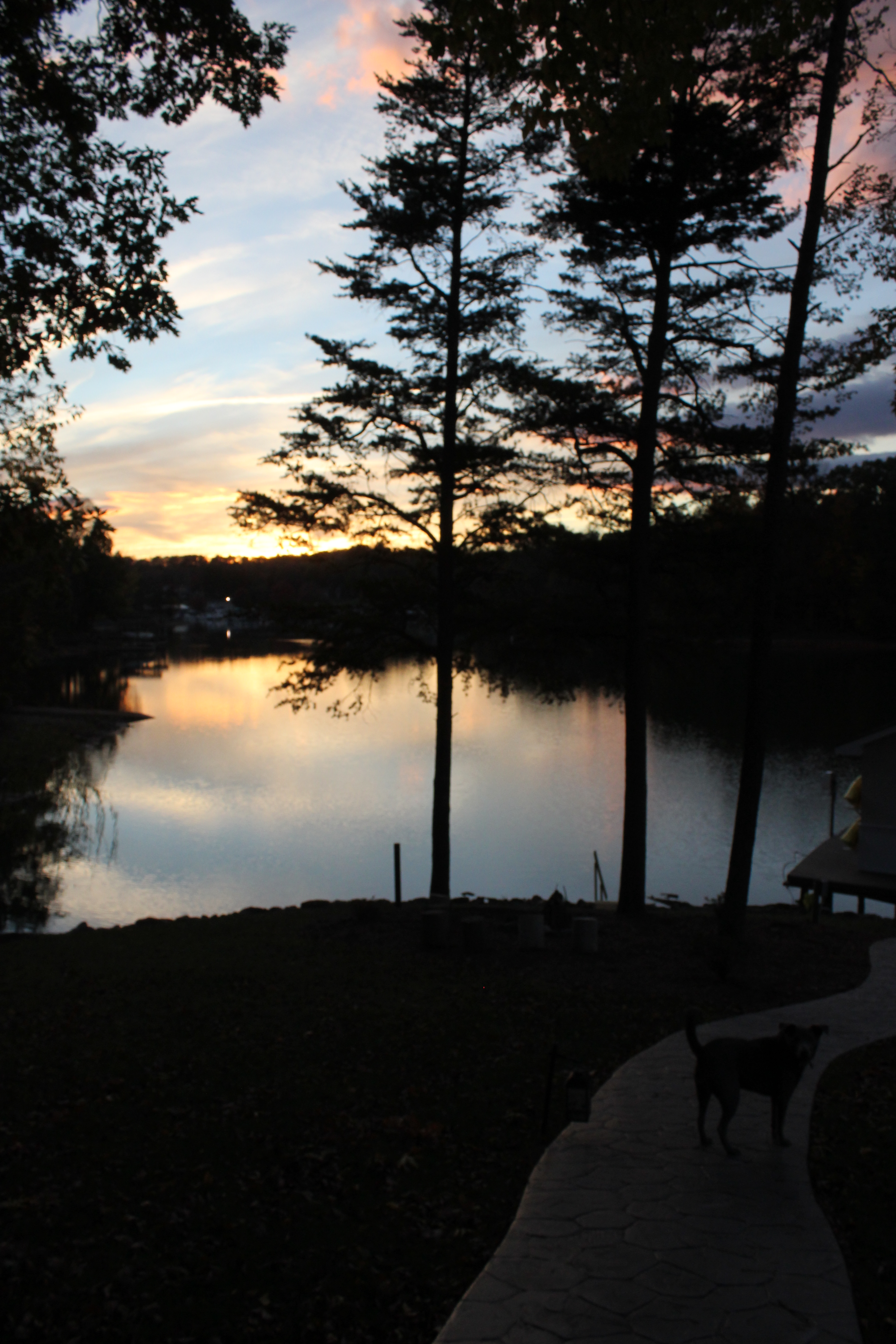
Franklin County Sunset

Red Jungle
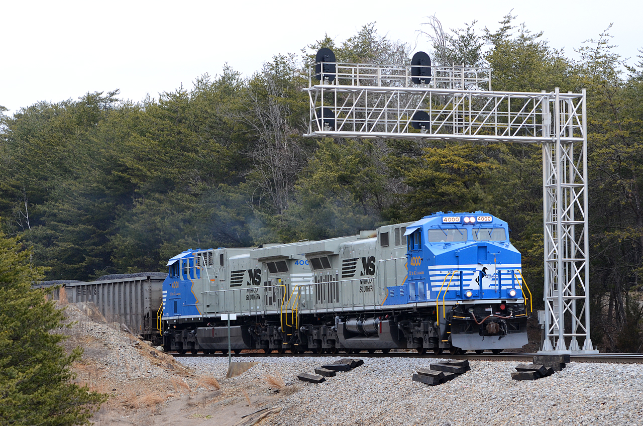
2016 02-12 1552 NS AC44C6M-4000, 4001 S/B 746 at Rocky Mount, VA

Nice view for dinner

OL7M3139 _Smith_Mountain_Lake_Spring
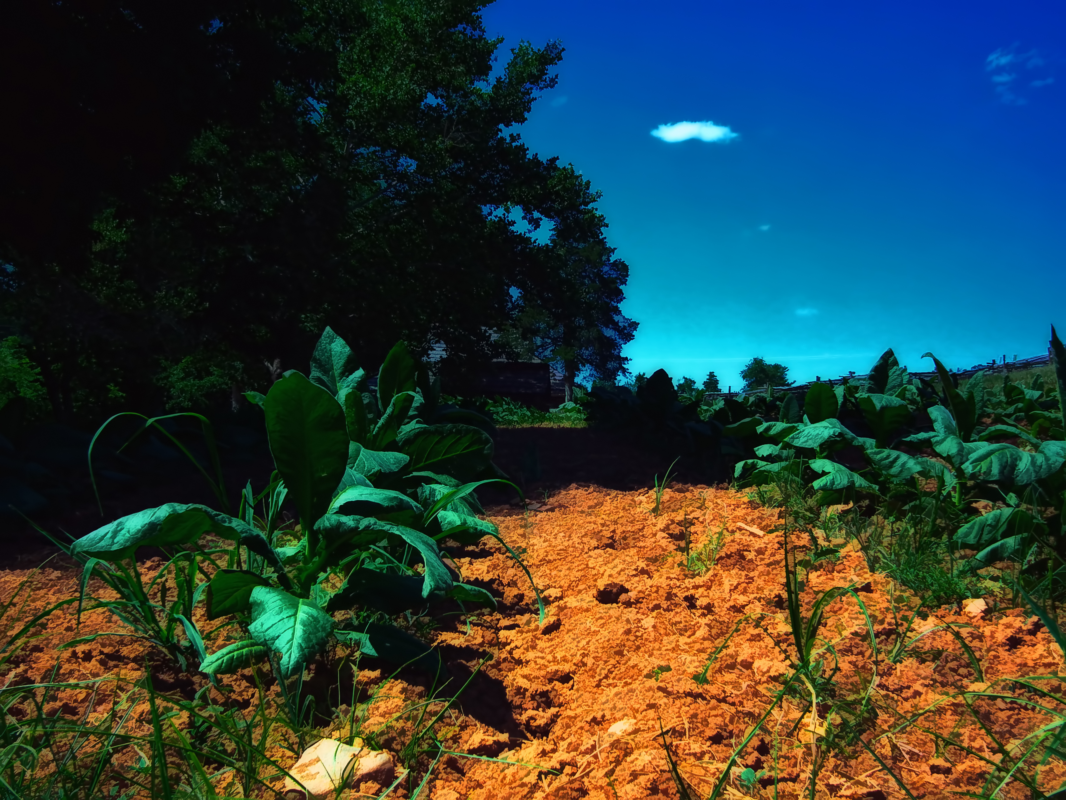
Tobacco Field

Reconstructed Slave Cabin
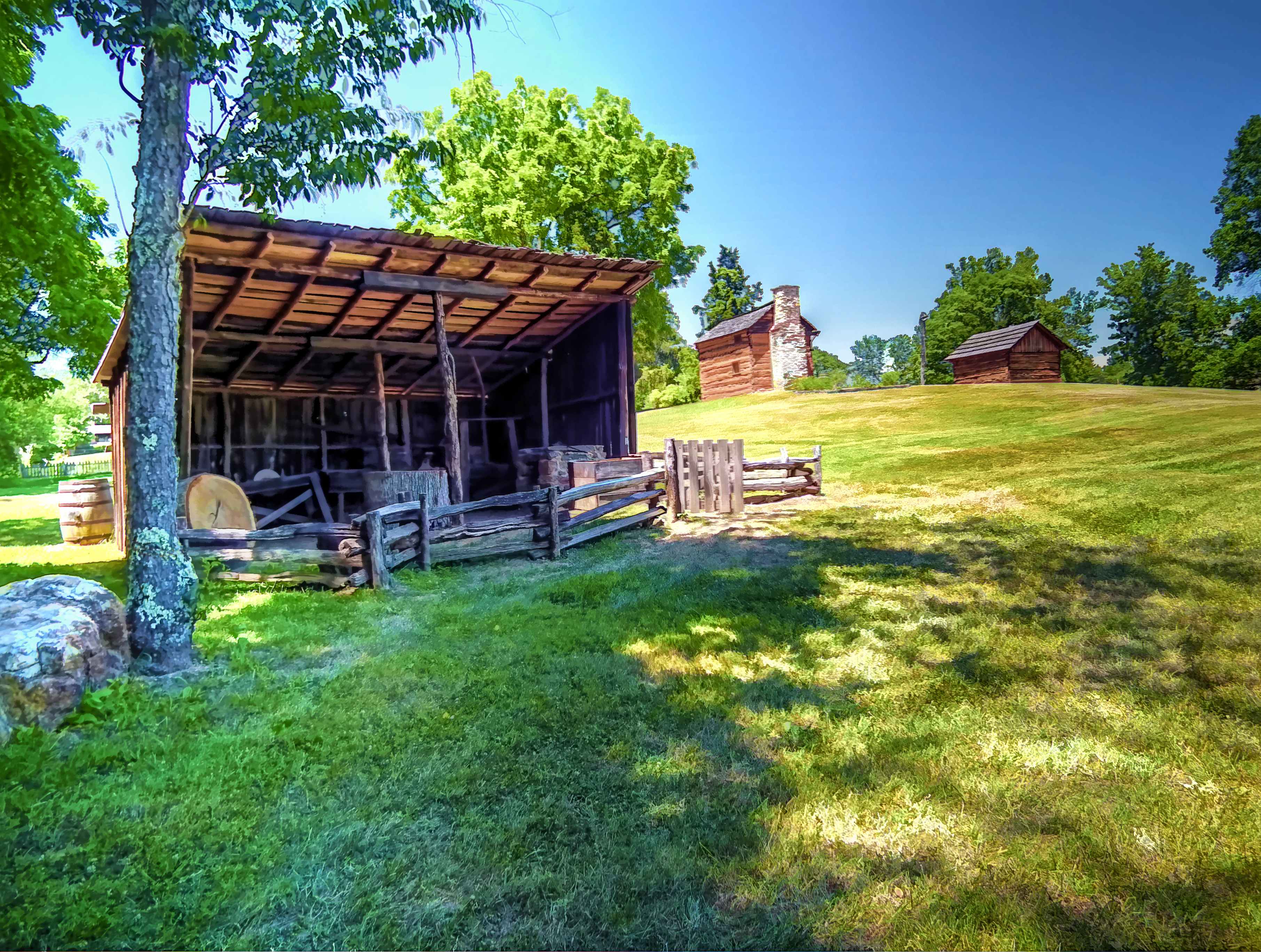
Blacksmith Shop
Nuclear Flare

Afternoon Walk
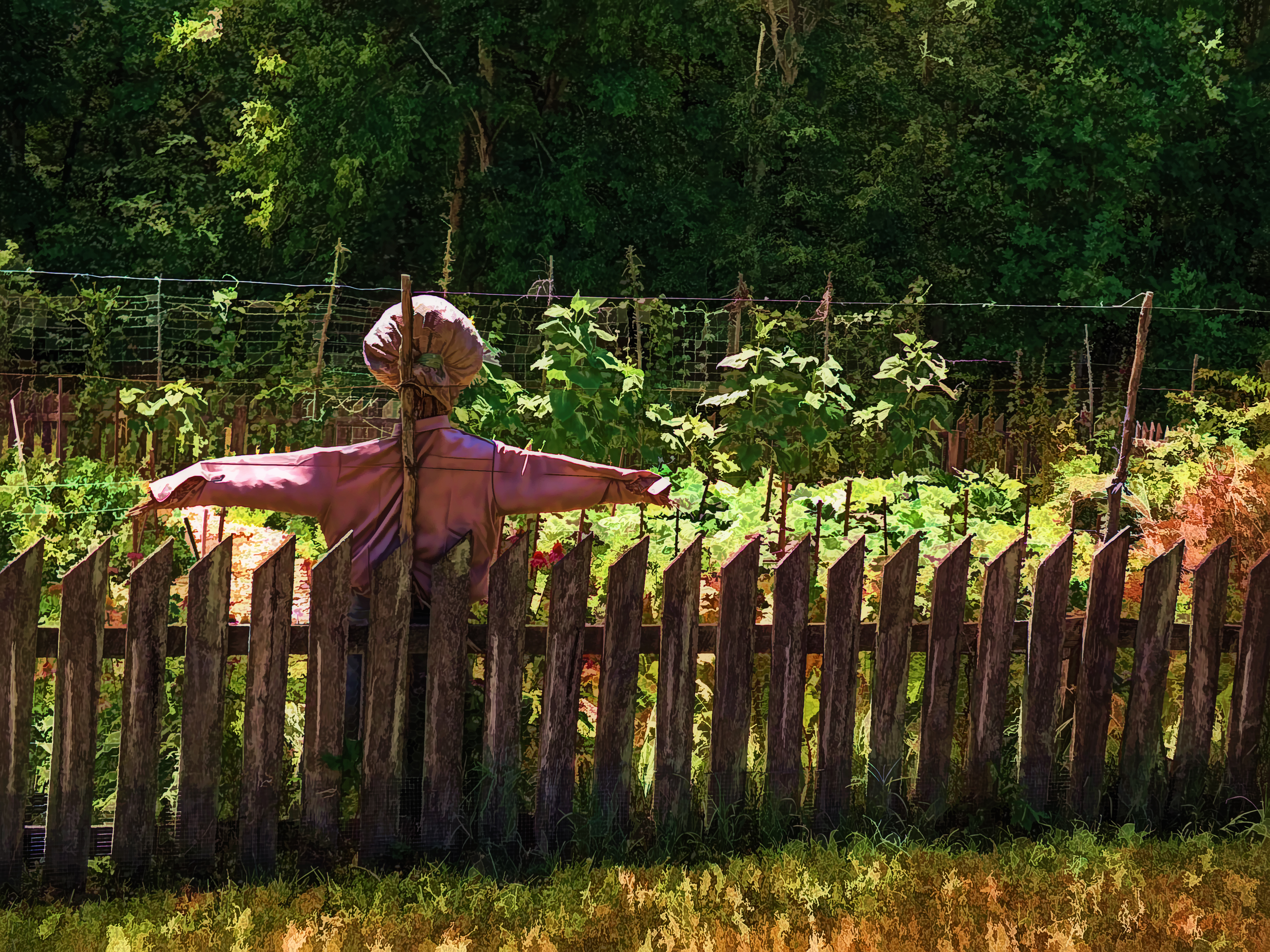
Scarecrow Garden
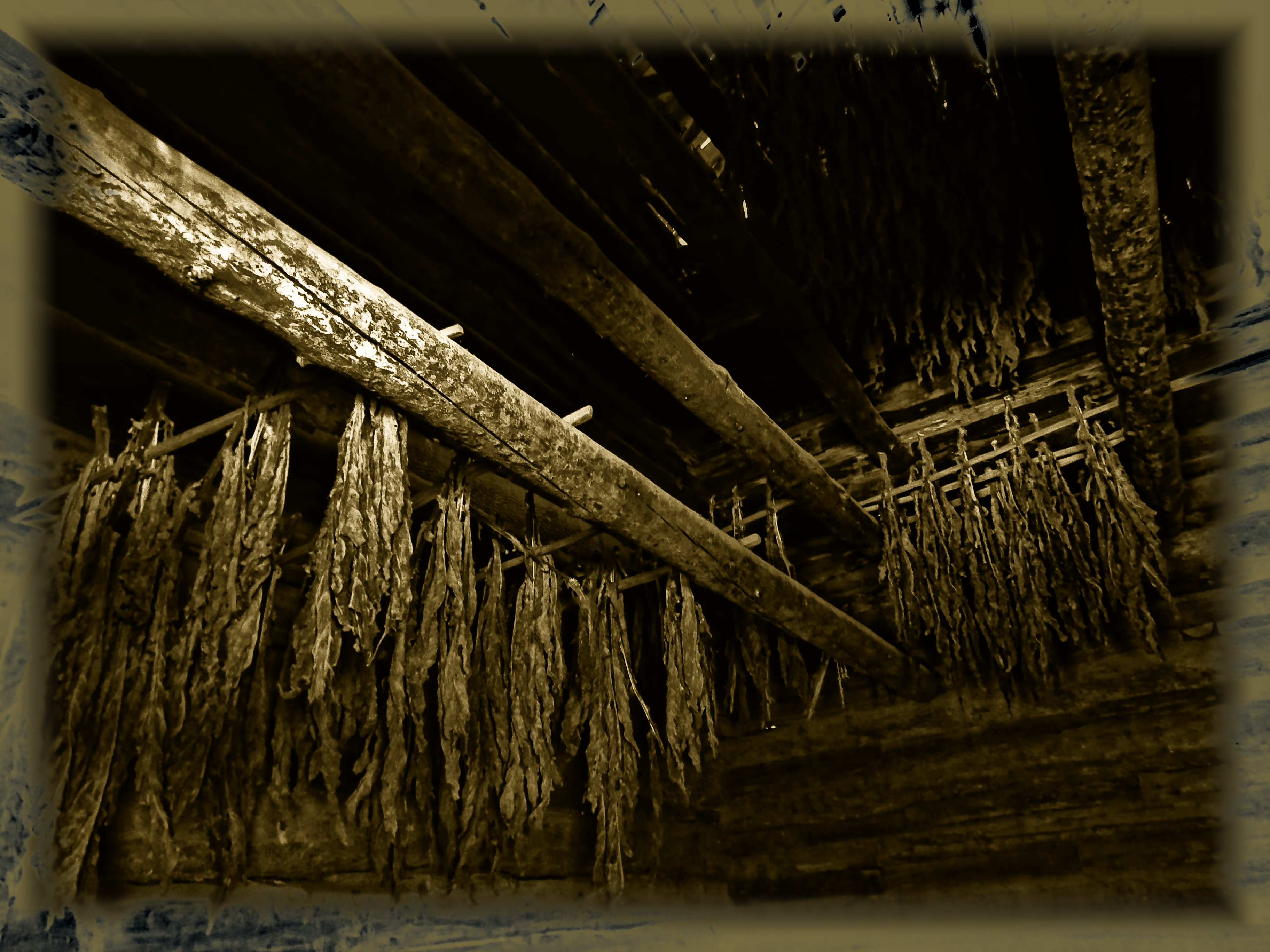
Curing Tobacco
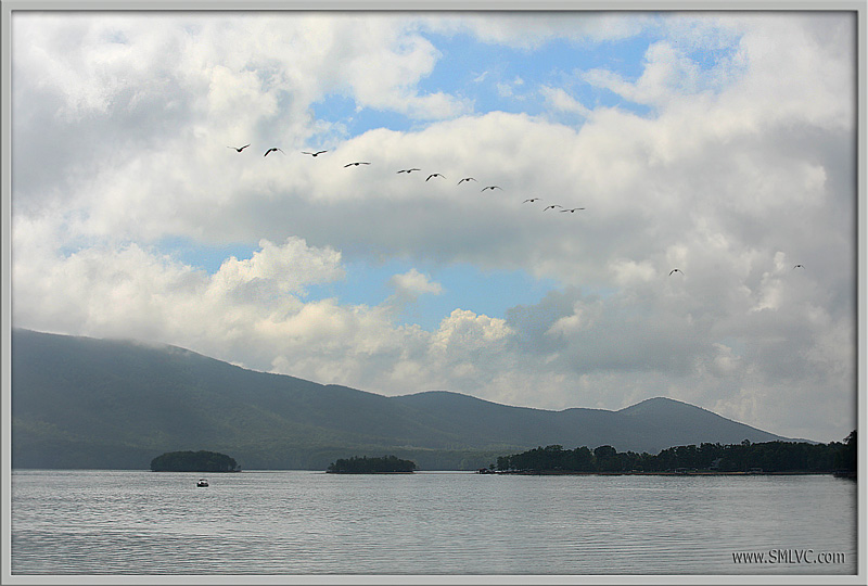
4V4B2917 Geese Over Smith Mountain Lake!
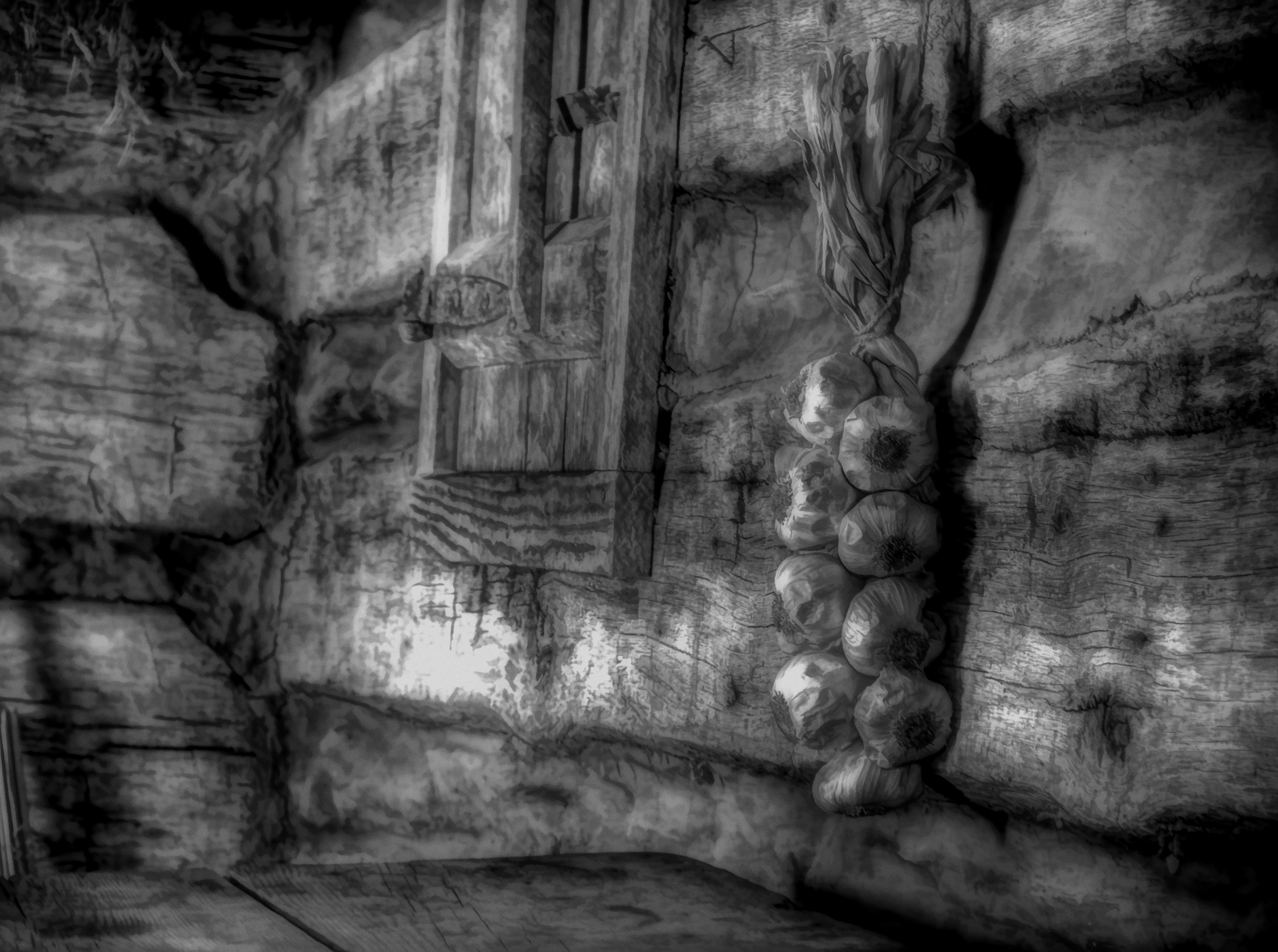
Garlic BW

Table and Churn
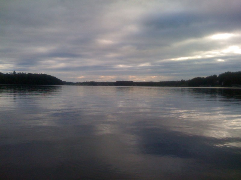
Smith Mountain Lake

Great #sunset to end the day

Channel Way & Cove Point Trl, , VA 24121, United States

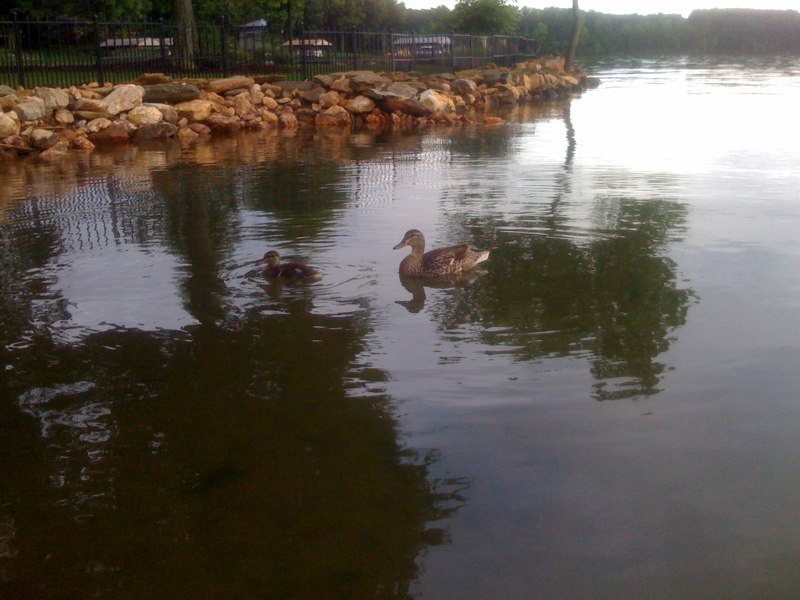
Fishermen on Smith Mountain Lake

- Sunset at Smith Mountain Lake

Whatta Sky
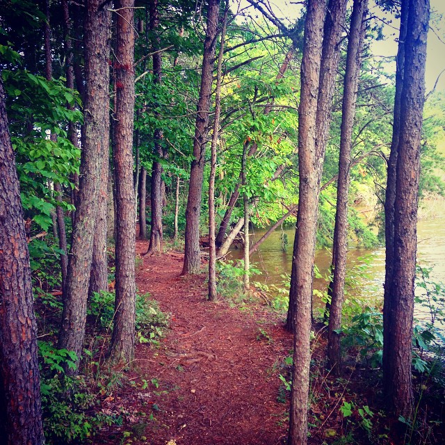
Trail running lake side

Channel Way & Cove Point Trl, , VA 24121, United States

Channel Way & Cove Point Trl, , VA 24121, United States

Another great #sunset
Channel Way & Cove Point Trl, , VA 24121, United States
Channel Way & Cove Point Trl, , VA 24121, United States
365 Days - Day 291

Grassland Road, Pittsylvania County, VA
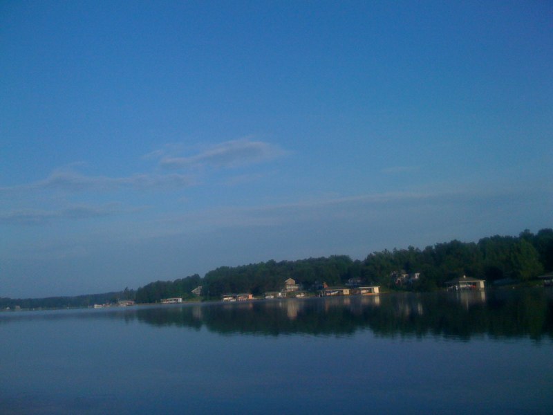
Channel Way & Cove Point Trl, , VA 24121, United States

Channel Way & Cove Point Trl, , VA 24121, United States
Channel Way & Cove Point Trl, , VA 24121, United States
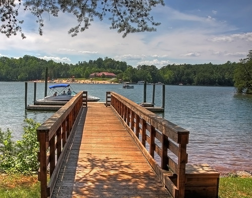
10.20.12 Smith Mountain Lake
Topographic Map of Union Hall, VA, USA
Find elevation by address:

Places in Union Hall, VA, USA:
Places near Union Hall, VA, USA:
32 Brooks Point Ln
Standiford Rd, Union Hall, VA, USA
217 Spence Rd
Glade Hill
Union Hall
0 Spence Rd
503 Windsor Point Dr
Dudley Road
44-54
75 Green Hill Ct
Parkside Acres Lane
Lightfoot Ln, Rocky Mount, VA, USA
414 Augusta Way
250 Stripers Ln
498 Meeks Rd
143 Sandstone Ln
Penhook
Smith Mountain Lake
15 Holyfield Ln
Big River Carpet Cleaning
Recent Searches:
- Elevation of Gateway Blvd SE, Canton, OH, USA
- Elevation of East W.T. Harris Boulevard, E W.T. Harris Blvd, Charlotte, NC, USA
- Elevation of West Sugar Creek, Charlotte, NC, USA
- Elevation of Wayland, NY, USA
- Elevation of Steadfast Ct, Daphne, AL, USA
- Elevation of Lagasgasan, X+CQH, Tiaong, Quezon, Philippines
- Elevation of Rojo Ct, Atascadero, CA, USA
- Elevation of Flagstaff Drive, Flagstaff Dr, North Carolina, USA
- Elevation of Avery Ln, Lakeland, FL, USA
- Elevation of Woolwine, VA, USA