Elevation of Uncompahgre Rd, Montrose, CO, USA
Location: United States > Colorado > Montrose County > Montrose >
Longitude: -107.81777
Latitude: 38.3779312
Elevation: 1880m / 6168feet
Barometric Pressure: 81KPa
Elevation Map:
Satellite Map:
Related Photos:
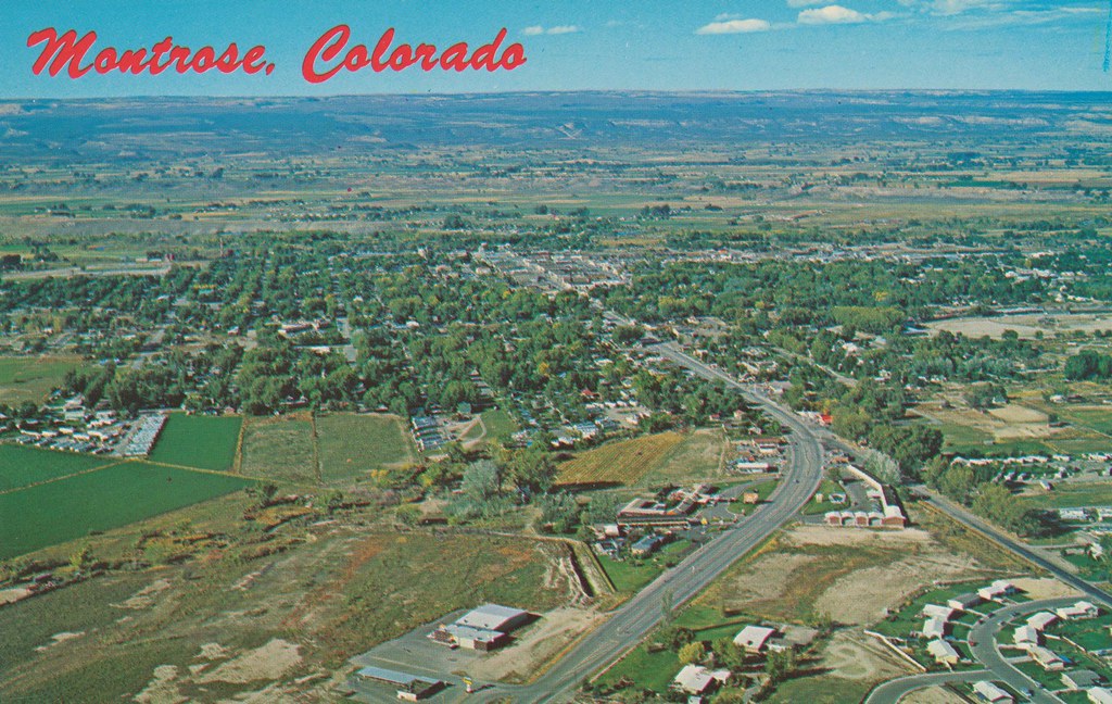
Montrose, Colorado
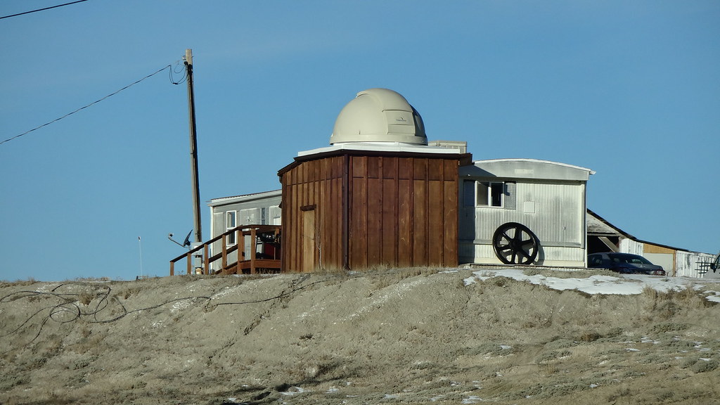
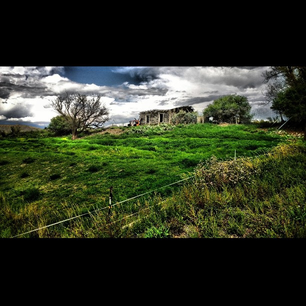
Home with a Dome
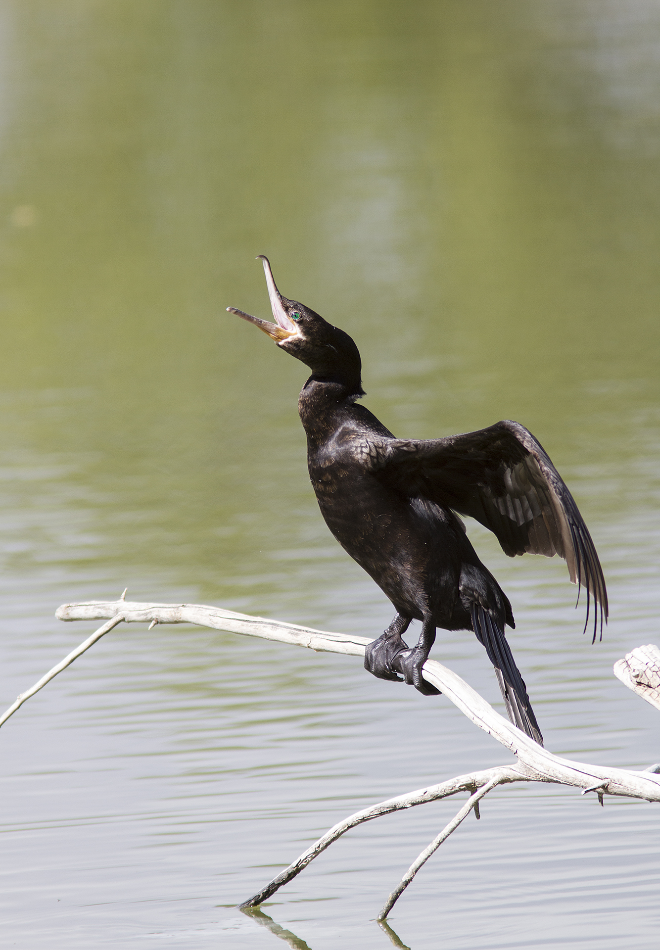
Neotropic Cormorant
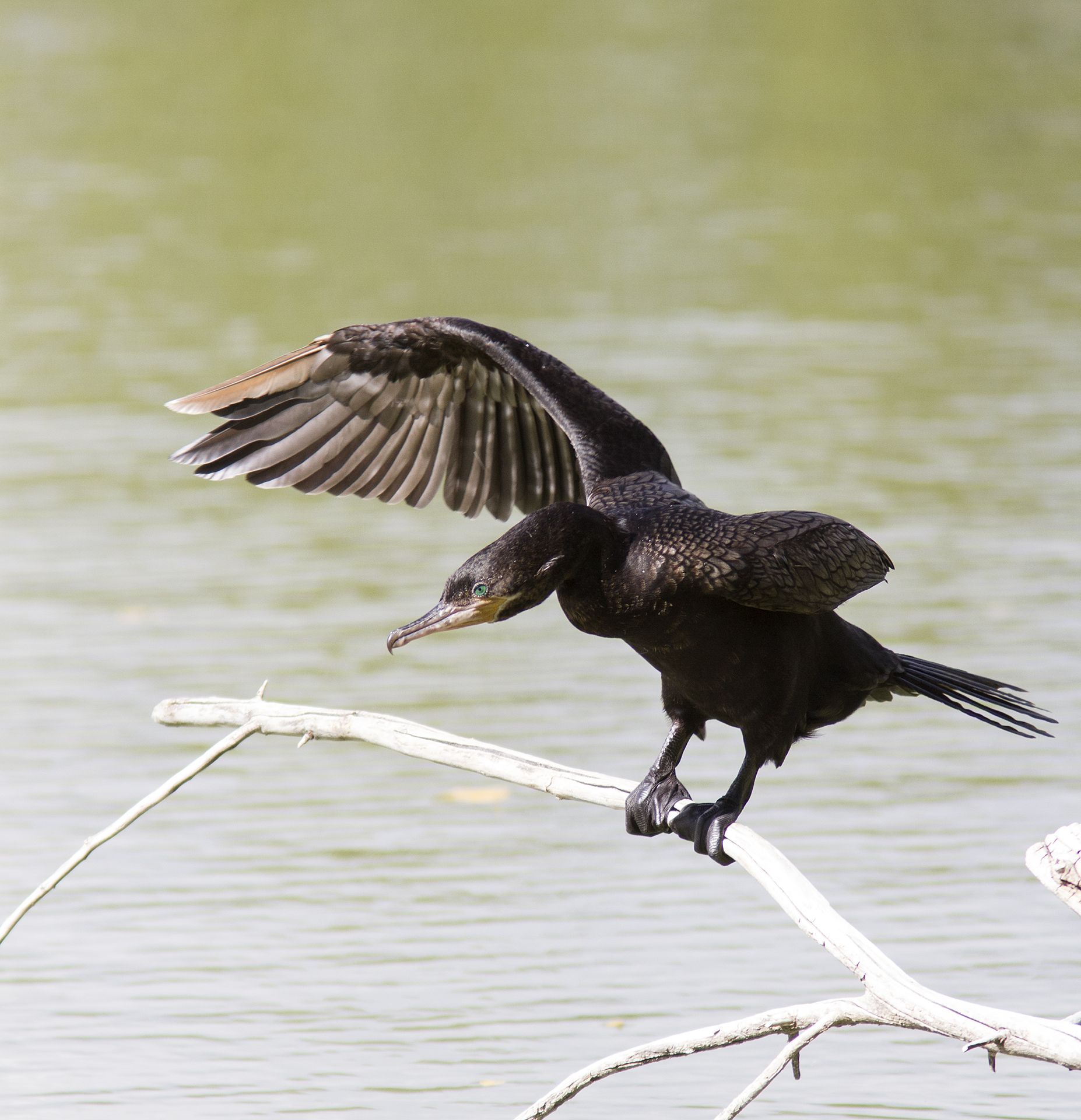
Neotropic Cormorant

Neotropic Cormorant
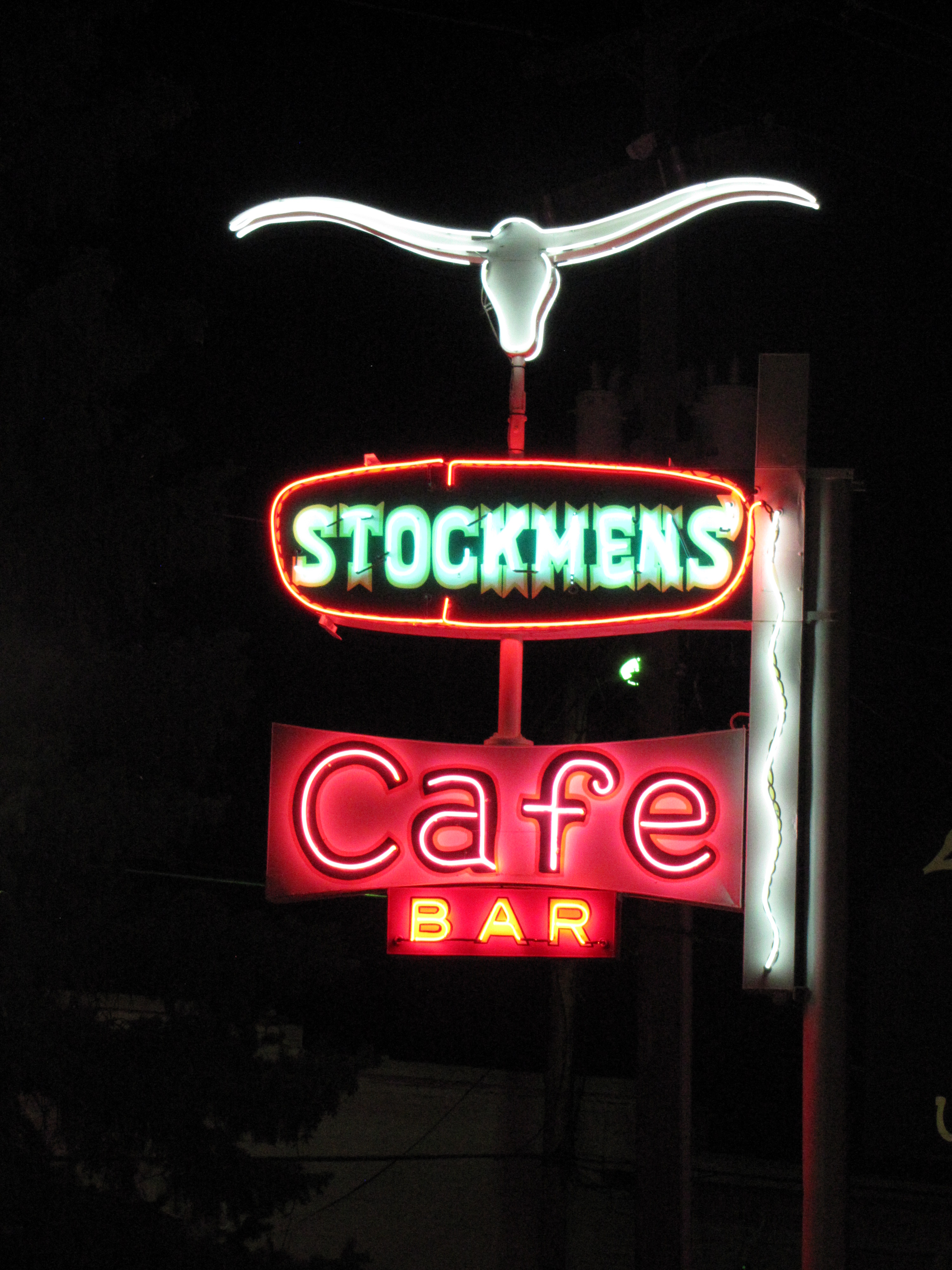
Stockmen's neon
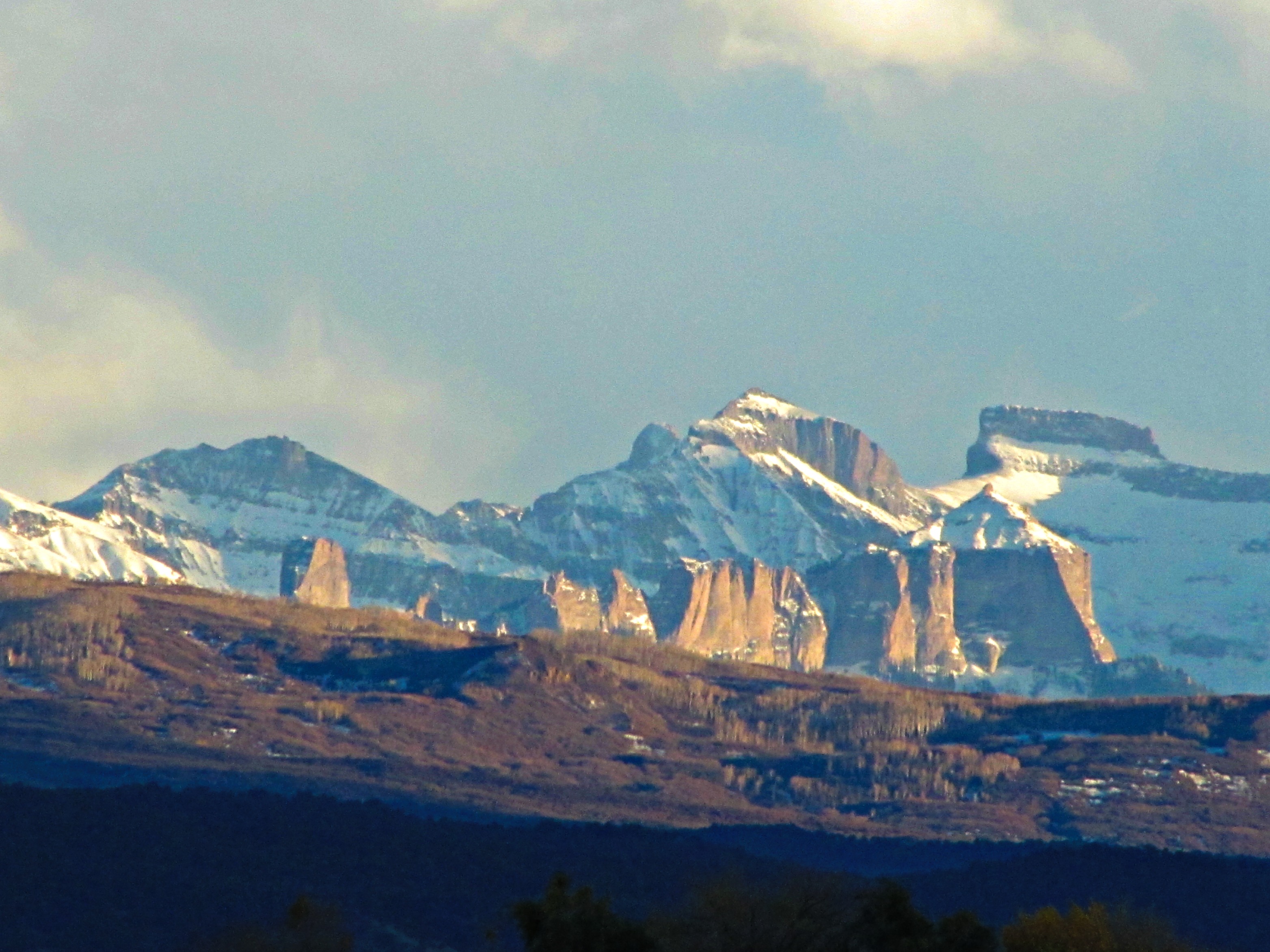
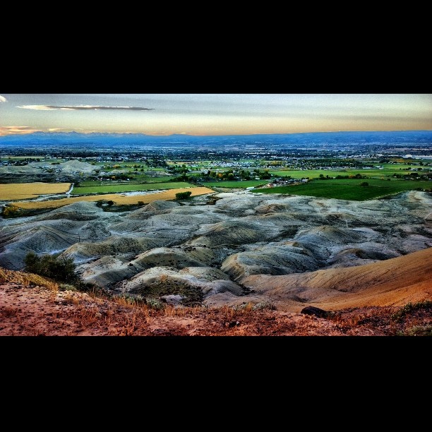
Geologic complexity
Day 3 A - Silverthorn

Late night at the cemetery
Georgia O'Keefe adobe view
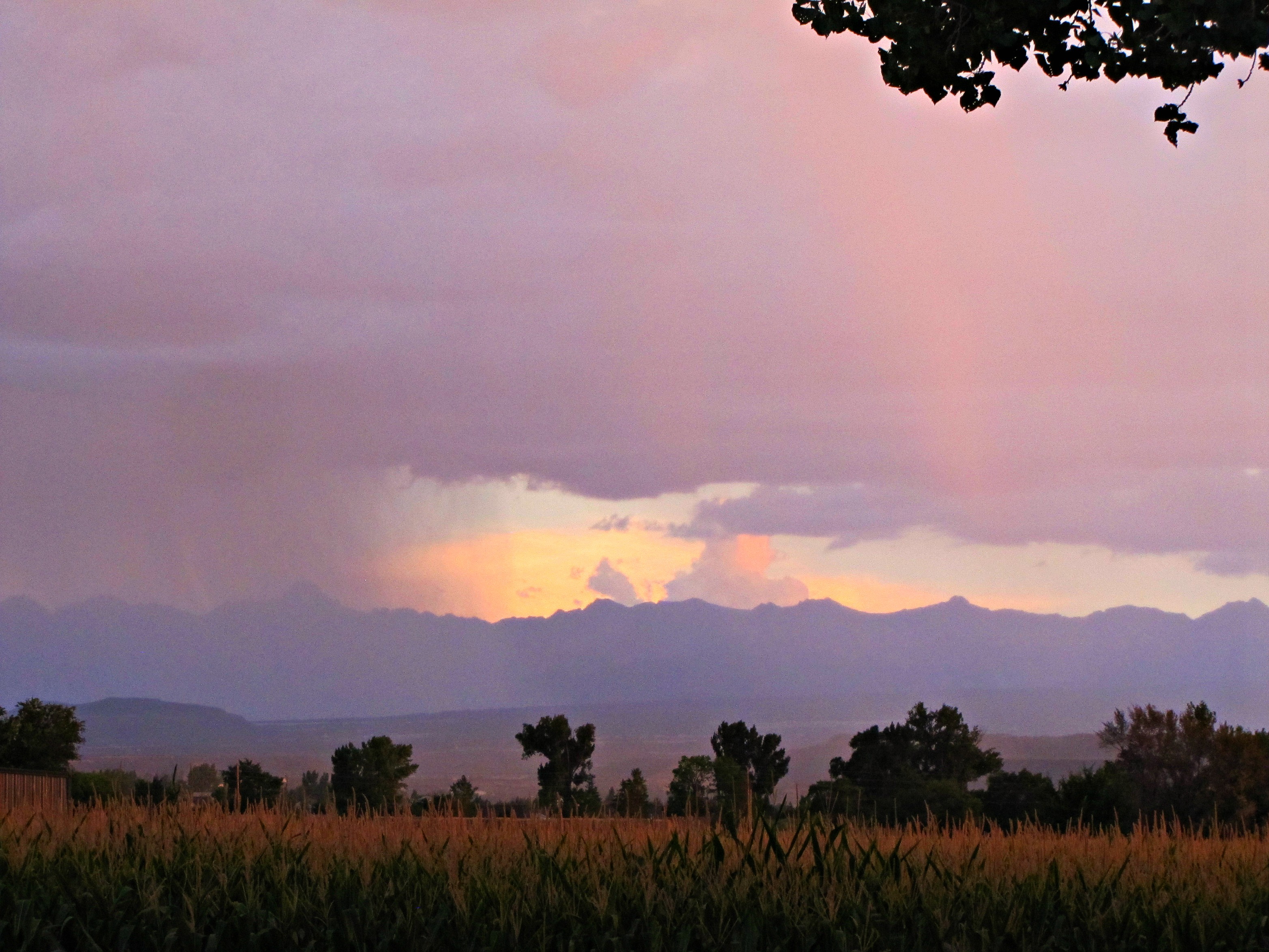
Between the corn and the cottonwood

From a window
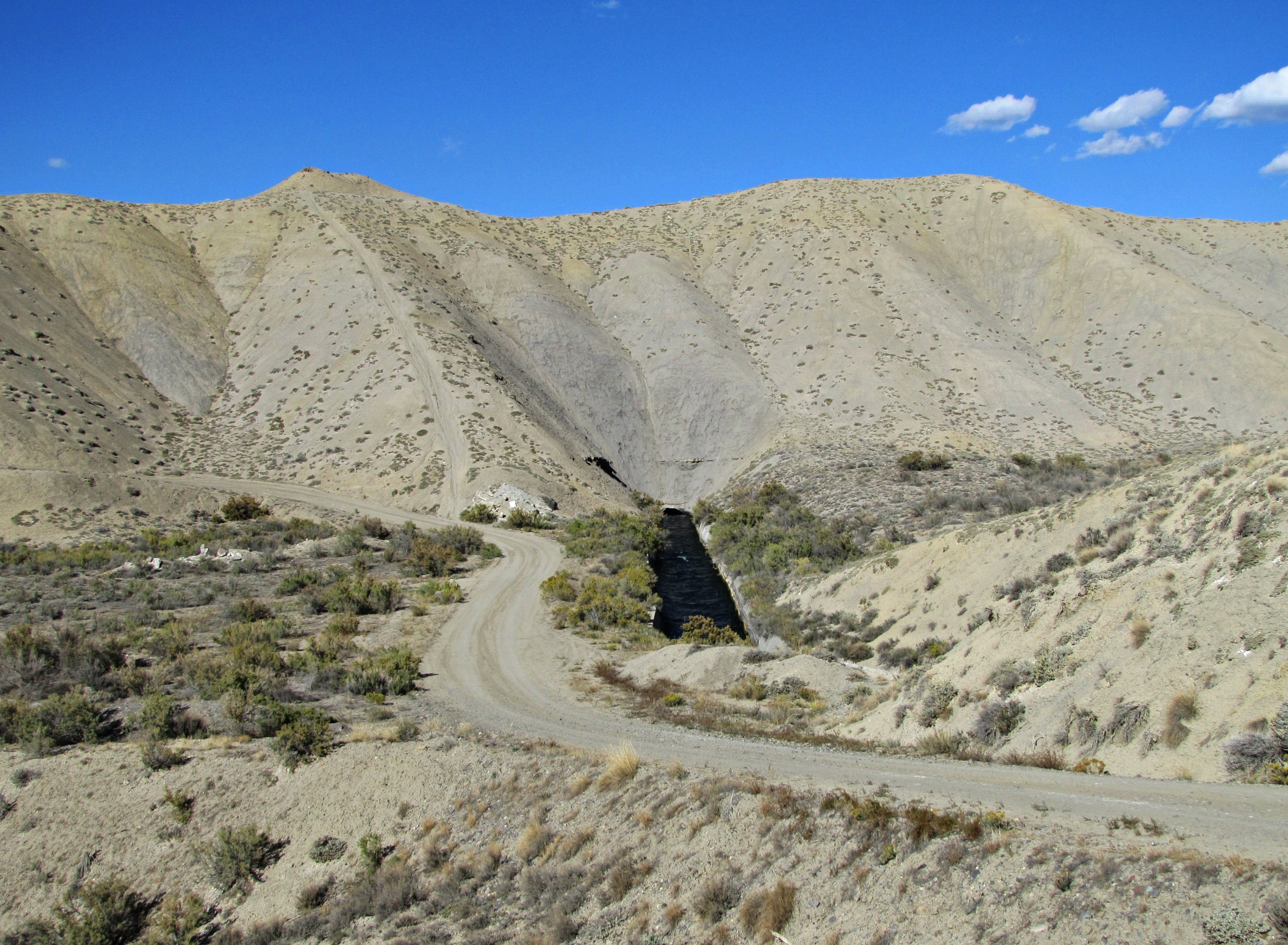
South Canal tunnels (1 of 3)
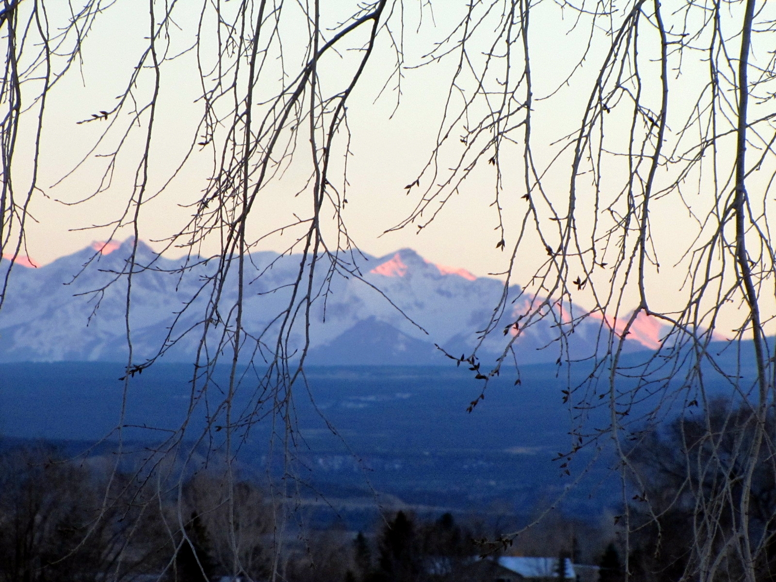
View through a budding cottonwood

South Canal tunnels (2 of 3)
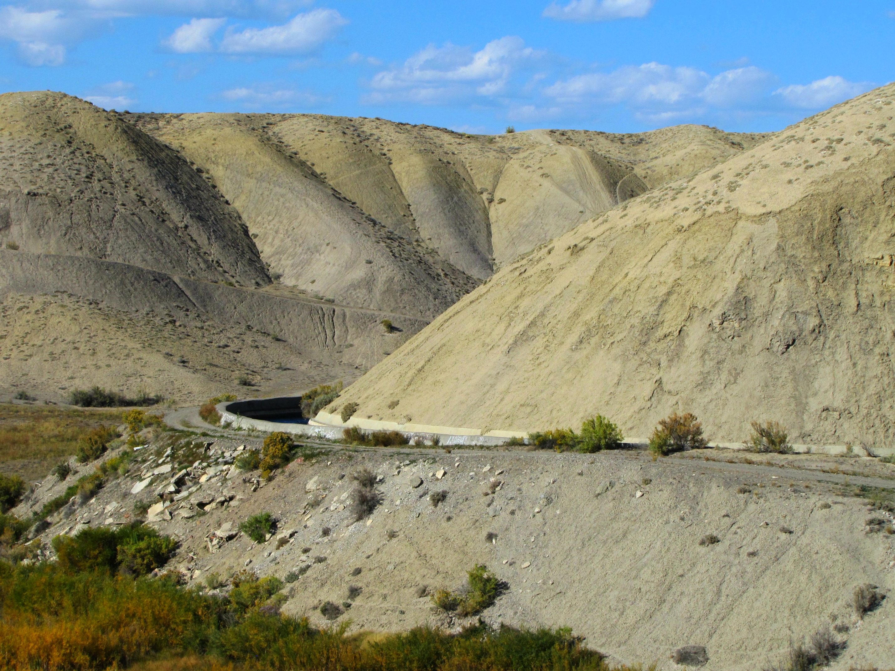
South Canal tunnels (3 of 3)

Day 3 A - Silverthorn
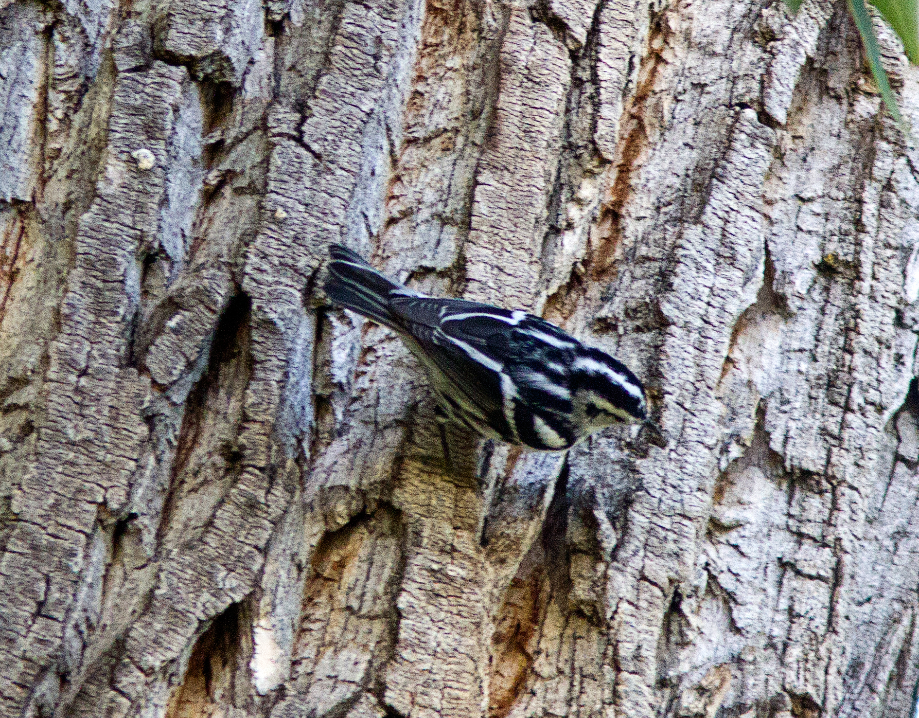
Black-and-White Warbler

Montrose theater
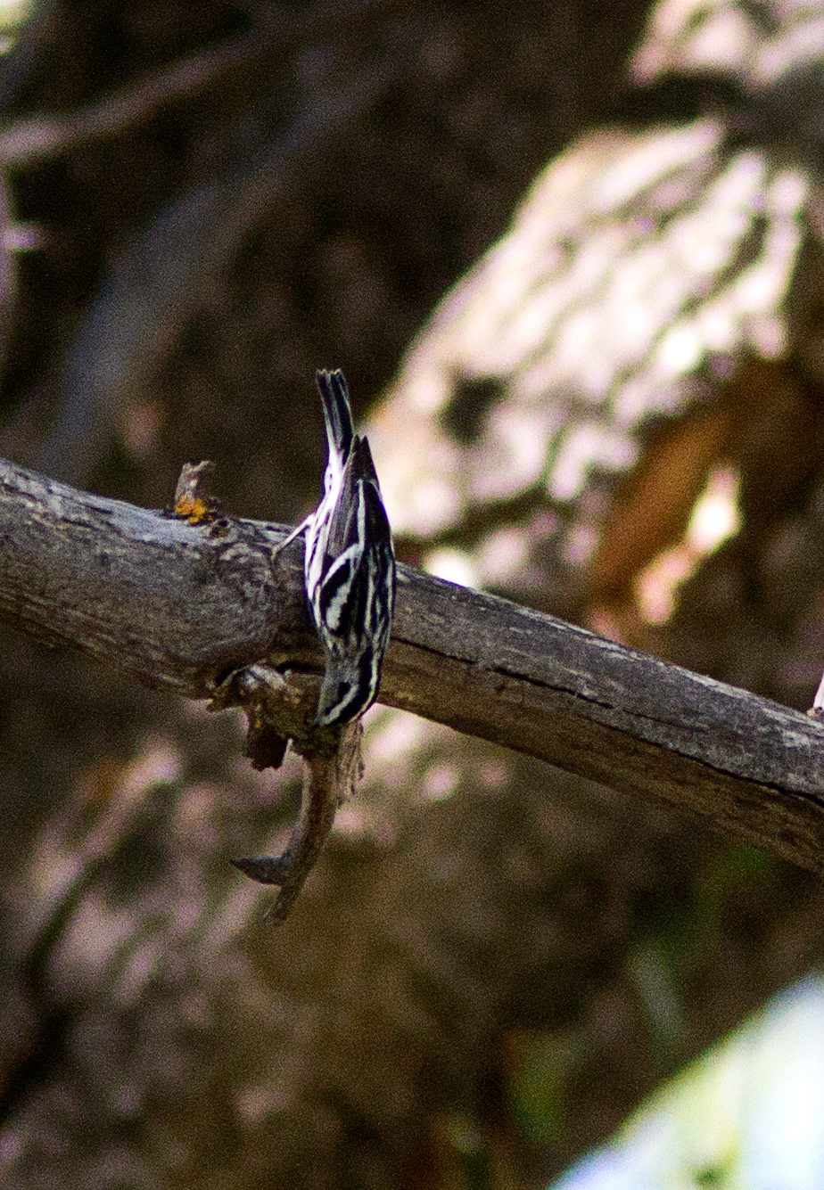
Black-and-White Warbler
Flying Hat

Glory of Autumn
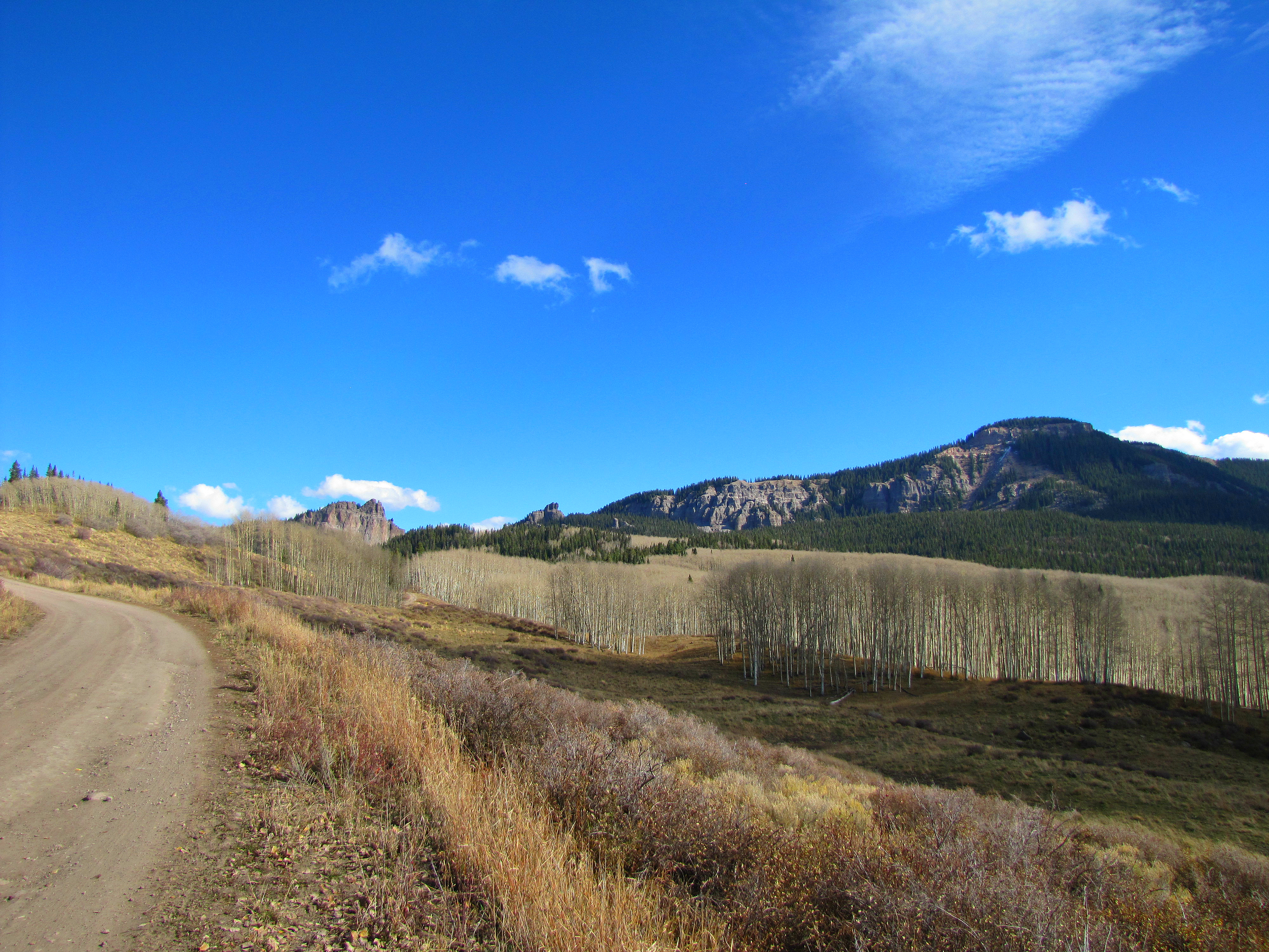
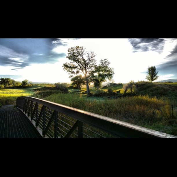
On the road up Storm King

6tag_081013-082914
6tag_081013-082914
WP_20131013_10_04_31_Pro.jpg

6tag_131013-094656

6tag_131013-091307
6tag_180913-143325
6tag_131013-091307
6tag_131013-100917

WP_20130930_07_44_04_Pro.jpg
WP_20130930_07_44_04_Pro.jpg
Rain Sweeper

WP_20131013_10_04_31_Pro.jpg

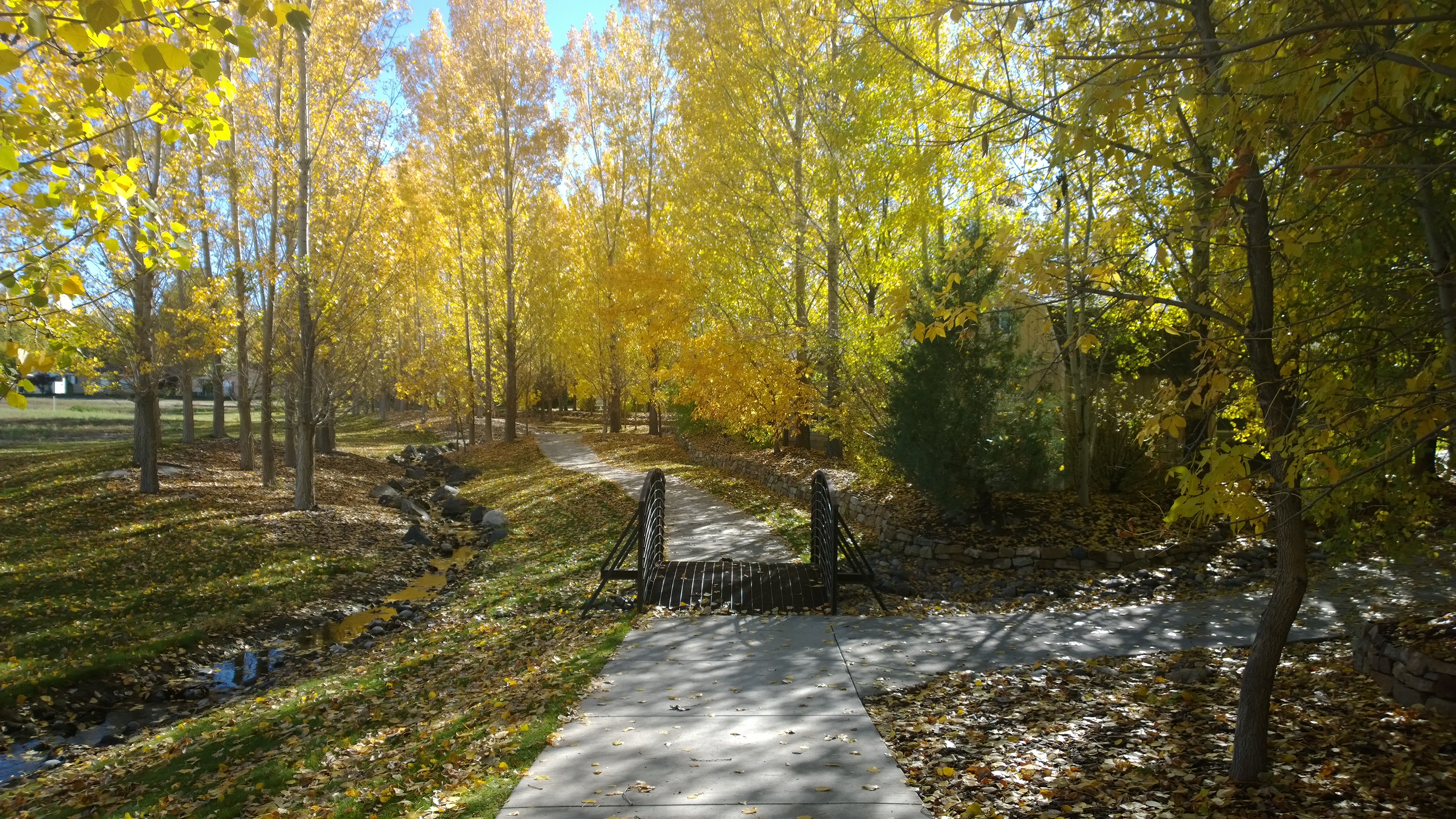
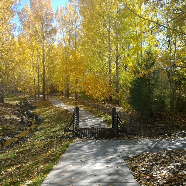
#nofilter #fall pic of #sidewalk and #pedestrian #bridge surrounded by #beautiful #yellow #autumn #leaves at #Cimarron #Creek #Golf #Community on the #outskirts of #Montrose #Colorado
WP_20131021_07_57_46_Pro.jpg

WP_20131021_07_57_46_Pro.jpg
Created with Nokia Smart Cam
WP_20130918_14_21_20_Pro.jpg
WP_20131013_09_48_34_Pro.jpg

WP_20131013_09_48_34_Pro.jpg
Topographic Map of Uncompahgre Rd, Montrose, CO, USA
Find elevation by address:

Places near Uncompahgre Rd, Montrose, CO, USA:
20866 Trophy Rd
22201 Horsefly Rd
19311 Pahgre Rd
Horsefly Road
69880 Racine Rd
17555 Patti Ct
1147 County Rd 22
1230 Tiyoweh Trail
66270 Crestview Dr
66204 Cottonwood Dr
Colona
66869 Otter Rd
17505 Us-550
17253 Chipeta Rd
Wildhorse Circle
2940 Lost Creek Rd S
2925 Lost Creek Rd N
67916 E Oak Grove Rd
1927 Ouray Dr
1927 Ouray Dr
Recent Searches:
- Elevation of Woolwine, VA, USA
- Elevation of Lumagwas Diversified Farmers Multi-Purpose Cooperative, Lumagwas, Adtuyon, RV32+MH7, Pangantucan, Bukidnon, Philippines
- Elevation of Homestead Ridge, New Braunfels, TX, USA
- Elevation of Orchard Road, Orchard Rd, Marlborough, NY, USA
- Elevation of 12 Hutchinson Woods Dr, Fletcher, NC, USA
- Elevation of Holloway Ave, San Francisco, CA, USA
- Elevation of Norfolk, NY, USA
- Elevation of - San Marcos Pass Rd, Santa Barbara, CA, USA
- Elevation of th Pl SE, Issaquah, WA, USA
- Elevation of 82- D Rd, Captain Cook, HI, USA