Elevation of Ulsan Airport (USN), Saneom-ro, Hwabong-dong, Buk-gu, Ulsan, South Korea
Location: South Korea >
Longitude: 129.355604
Latitude: 35.5931799
Elevation: 16m / 52feet
Barometric Pressure: 101KPa
Elevation Map:
Satellite Map:
Related Photos:
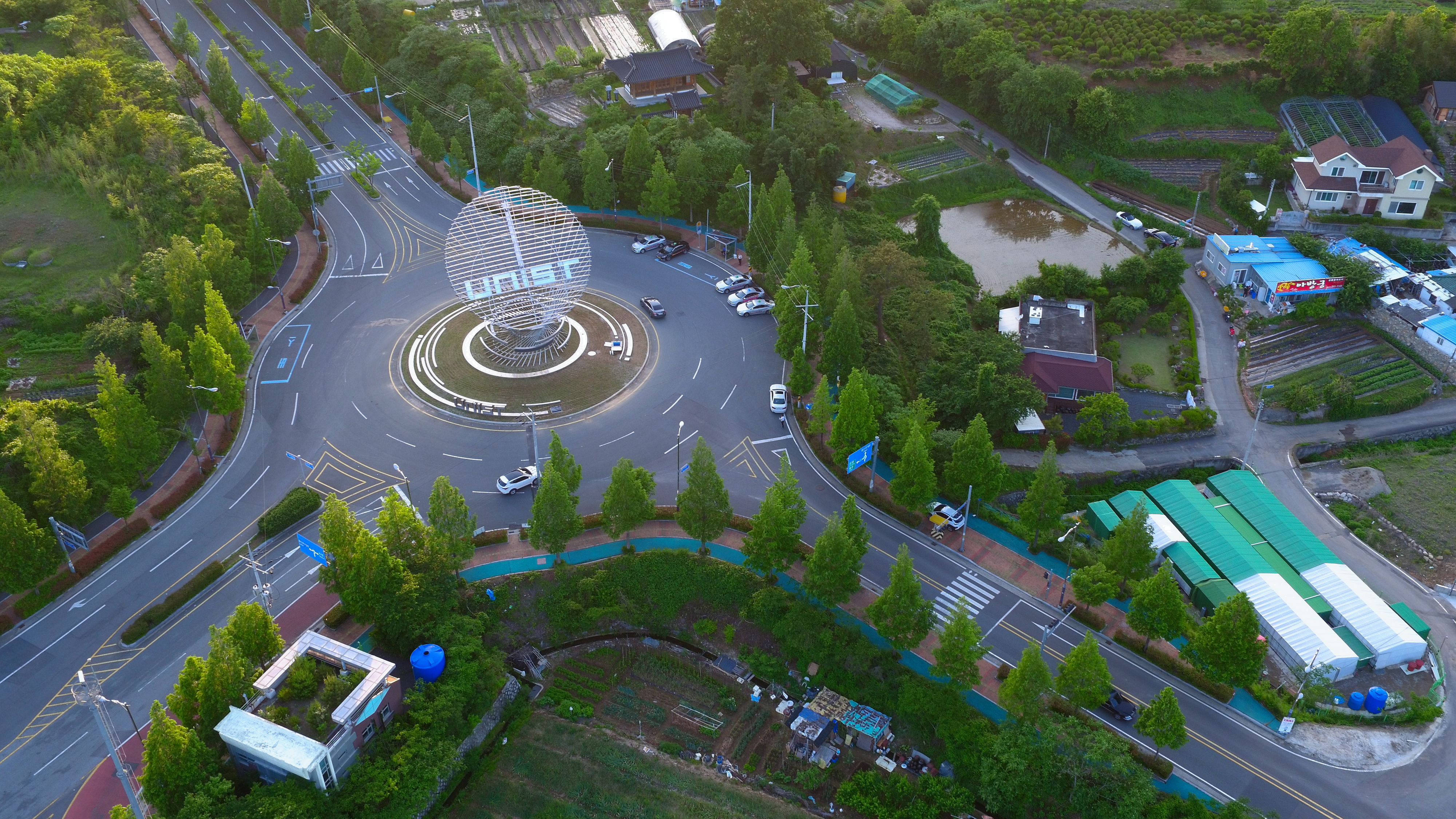
The aerial view of UNIST’s Symbolic Landmark.

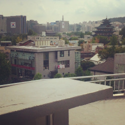
View from Shilla Stay

Ulsan Japanese Castle 울산왜성 蔚山倭城
View from Bukchon Hanok Village
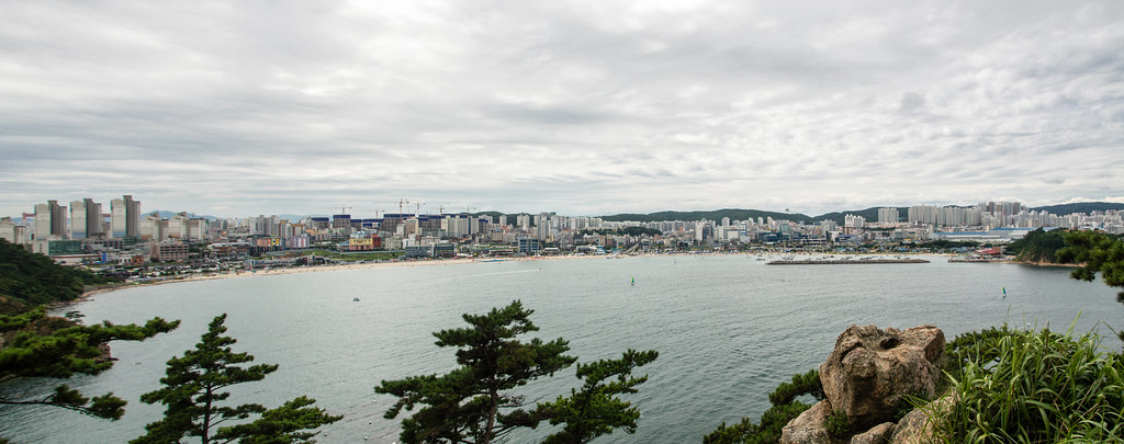
View of Ilsan-dong from Daewangam Park in Ulsan
Topographic Map of Ulsan Airport (USN), Saneom-ro, Hwabong-dong, Buk-gu, Ulsan, South Korea
Find elevation by address:

Places near Ulsan Airport (USN), Saneom-ro, Hwabong-dong, Buk-gu, Ulsan, South Korea:
Ulsan
Ulsan
Haneul Park
Bosam-gil
Gyeongju-si
Yangsan-si
Pohang-si
Busan
Busan
Baegyangsan-ro
Seonamsa Temple Entrance
Gimhae-si
Icheon-dong
Bongdeok 3(sam)-dong
Camp Henry
Camp Walker
Daegu
Daegu
Masan
Secheon-ro 1-gil
Recent Searches:
- Elevation of 3 Nestling Wood Dr, Long Valley, NJ, USA
- Elevation of Ilungu, Tanzania
- Elevation of Yellow Springs Road, Yellow Springs Rd, Chester Springs, PA, USA
- Elevation of Rēzekne Municipality, Latvia
- Elevation of Plikpūrmaļi, Vērēmi Parish, Rēzekne Municipality, LV-, Latvia
- Elevation of 2 Henschke Ct, Caboolture QLD, Australia
- Elevation of Redondo Ave, Long Beach, CA, USA
- Elevation of Sadovaya Ulitsa, 20, Rezh, Sverdlovskaya oblast', Russia
- Elevation of Ulitsa Kalinina, 79, Rezh, Sverdlovskaya oblast', Russia
- Elevation of 72-31 Metropolitan Ave, Middle Village, NY, USA