Elevation of Uljin-gun, Gyeongsangbuk-do, South Korea
Location: South Korea > Gyeongsangbuk-do >
Longitude: 129.400419
Latitude: 36.9930661
Elevation: 15m / 49feet
Barometric Pressure: 101KPa
Elevation Map:
Satellite Map:
Related Photos:

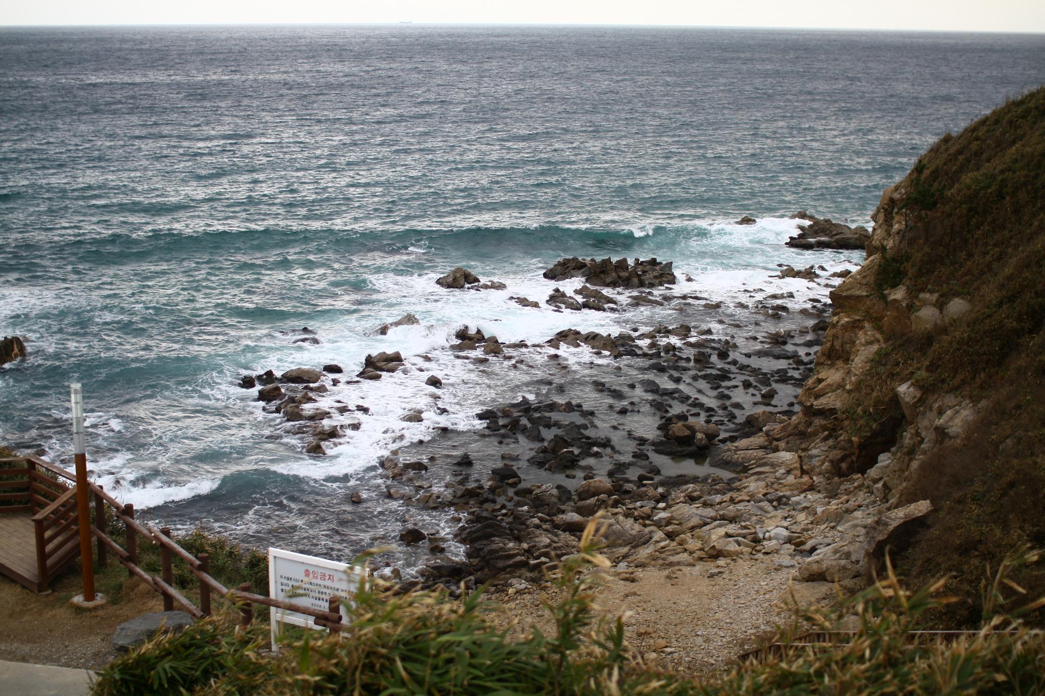
Phantom View
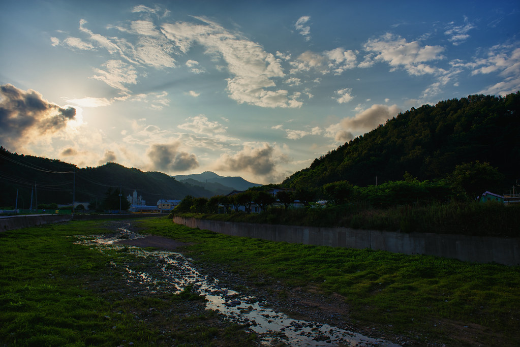
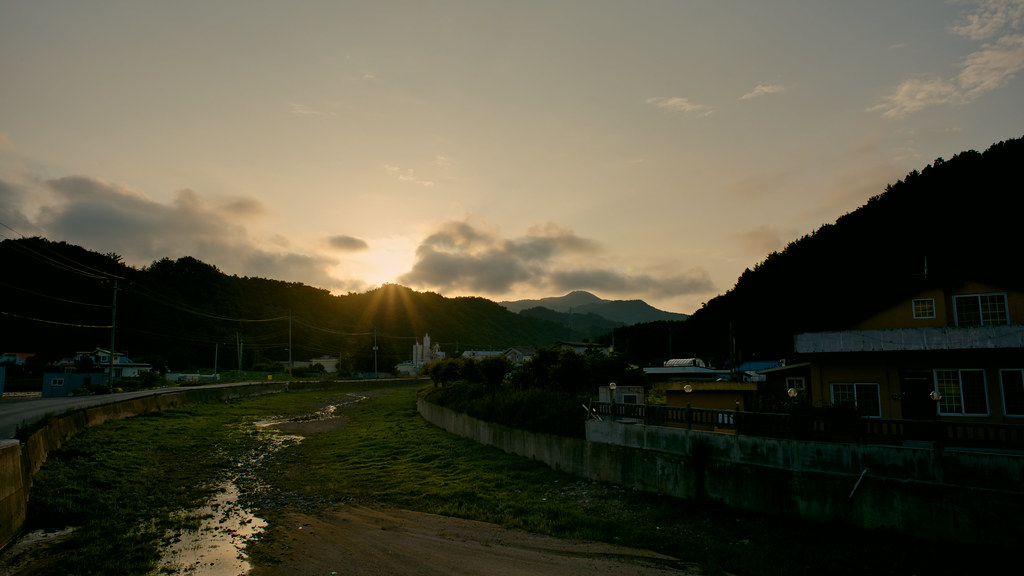
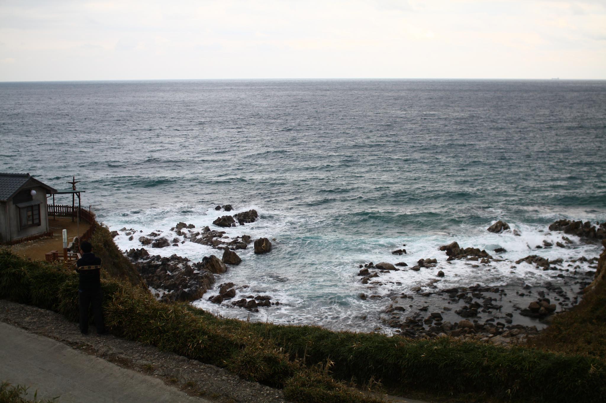
Uljin Sunset
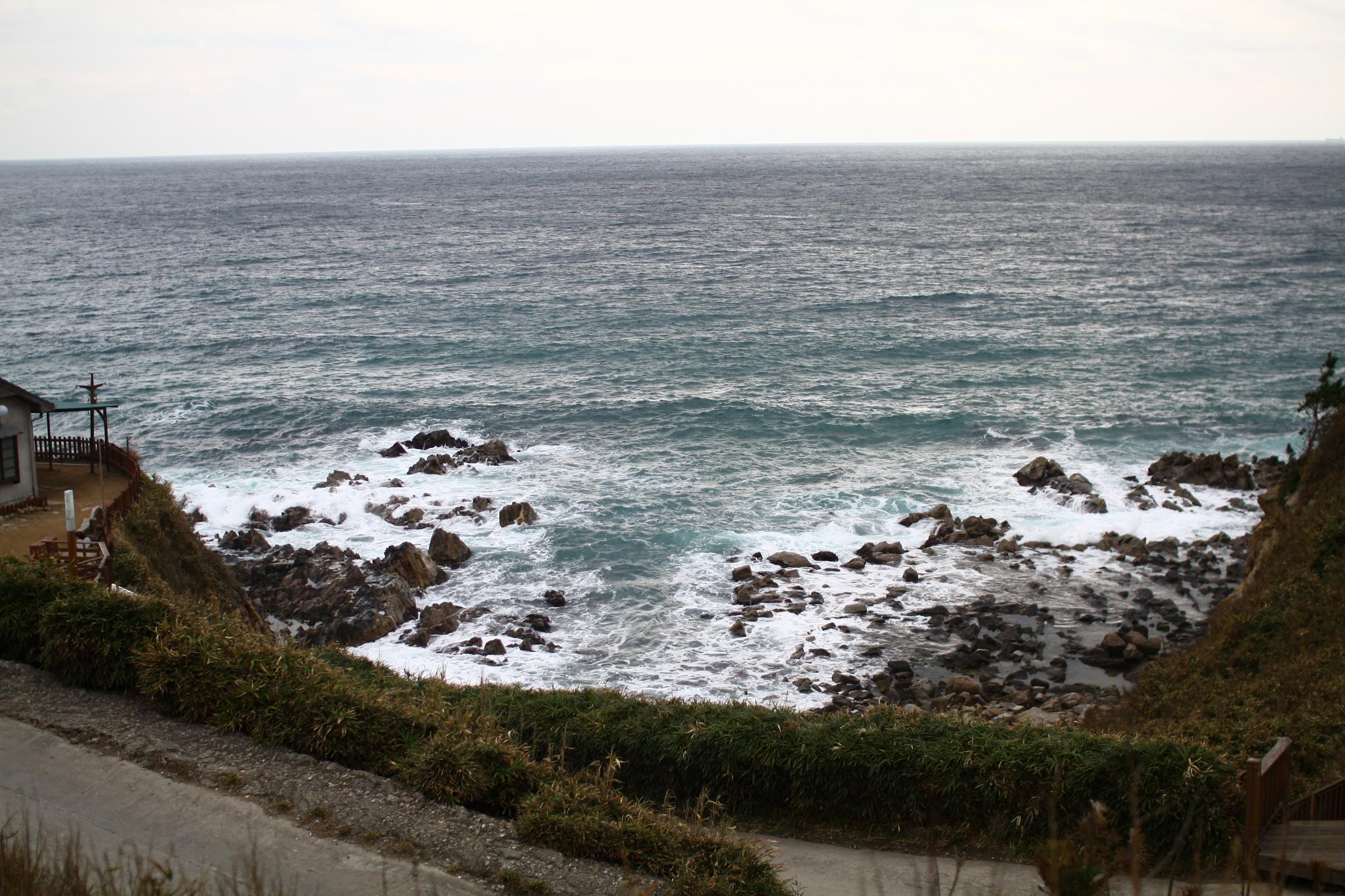
Uljin 1
2011 마무리 여행
Uljin-Eup, Gyeongsangbuk-Do, South Korea
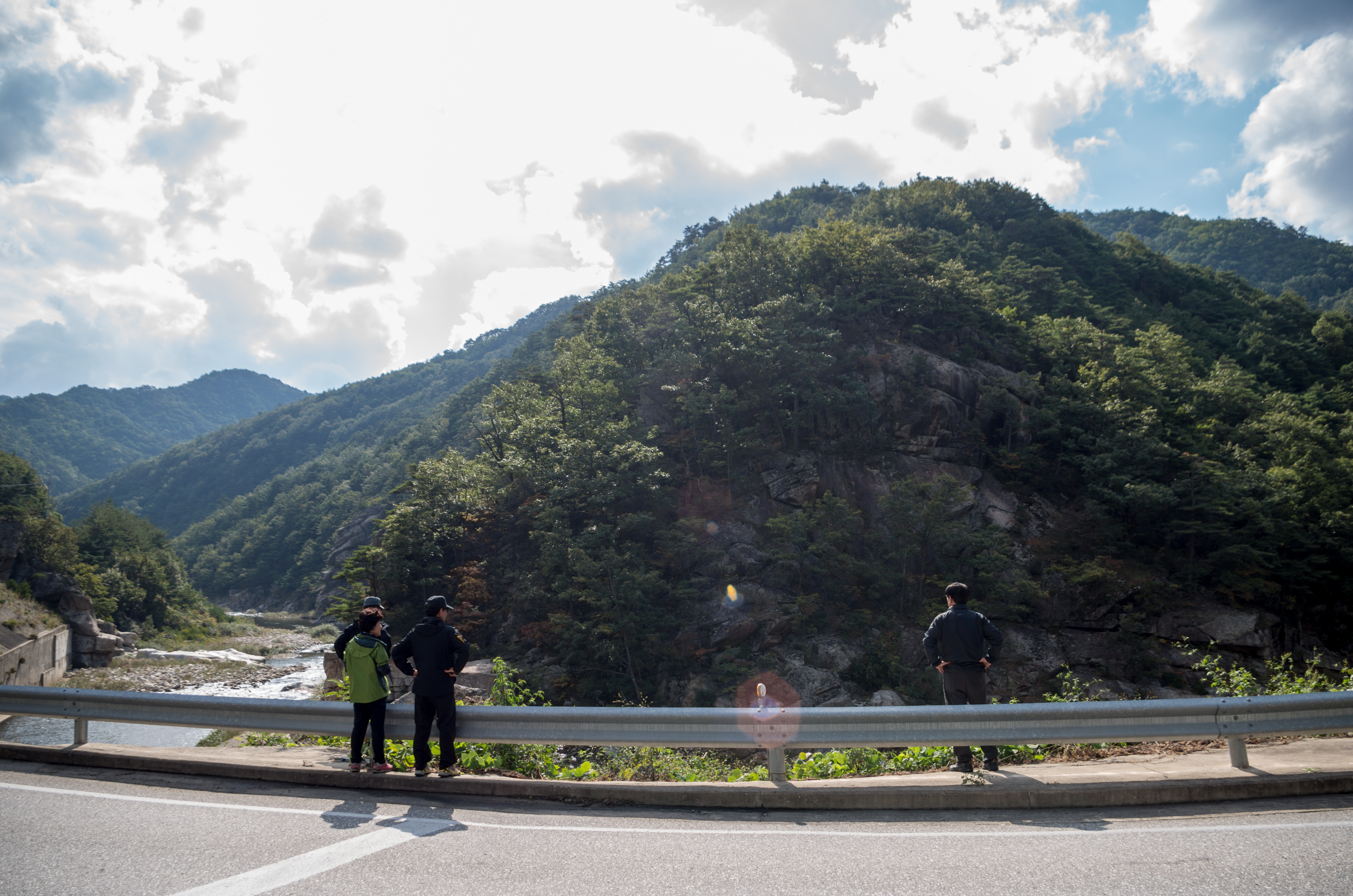
The way to Boolyoung-temple

The way to Boolyoung-temple
2011 마무리 여행
2011 마무리 여행
2011 마무리 여행

2011 마무리 여행

2011 마무리 여행
Topographic Map of Uljin-gun, Gyeongsangbuk-do, South Korea
Find elevation by address:

Places in Uljin-gun, Gyeongsangbuk-do, South Korea:
Places near Uljin-gun, Gyeongsangbuk-do, South Korea:
Recent Searches:
- Elevation of Congressional Dr, Stevensville, MD, USA
- Elevation of Bellview Rd, McLean, VA, USA
- Elevation of Stage Island Rd, Chatham, MA, USA
- Elevation of Shibuya Scramble Crossing, 21 Udagawacho, Shibuya City, Tokyo -, Japan
- Elevation of Jadagoniai, Kaunas District Municipality, Lithuania
- Elevation of Pagonija rock, Kranto 7-oji g. 8"N, Kaunas, Lithuania
- Elevation of Co Rd 87, Jamestown, CO, USA
- Elevation of Tenjo, Cundinamarca, Colombia
- Elevation of Côte-des-Neiges, Montreal, QC H4A 3J6, Canada
- Elevation of Bobcat Dr, Helena, MT, USA