Elevation of Ul. Stjepana Radića 78, Forkuševci, Croatia
Location: Croatia > Osijek-baranja County > Općina Viškovci > Forkuševci >
Longitude: 18.4961302
Latitude: 45.3496099
Elevation: 103m / 338feet
Barometric Pressure: 100KPa
Elevation Map:
Satellite Map:
Related Photos:

0365 Yellow View
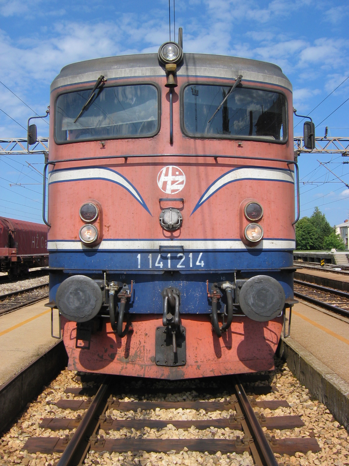
34.Strizivojna Vrpolje head on view of Rc class loco
0221_Montenegro 2013_IMG_1009
0224_Montenegro 2013_IMG_1006
0230_Montenegro 2013_IMG_1007
0012 Purple Sunset
0352 Summer Field
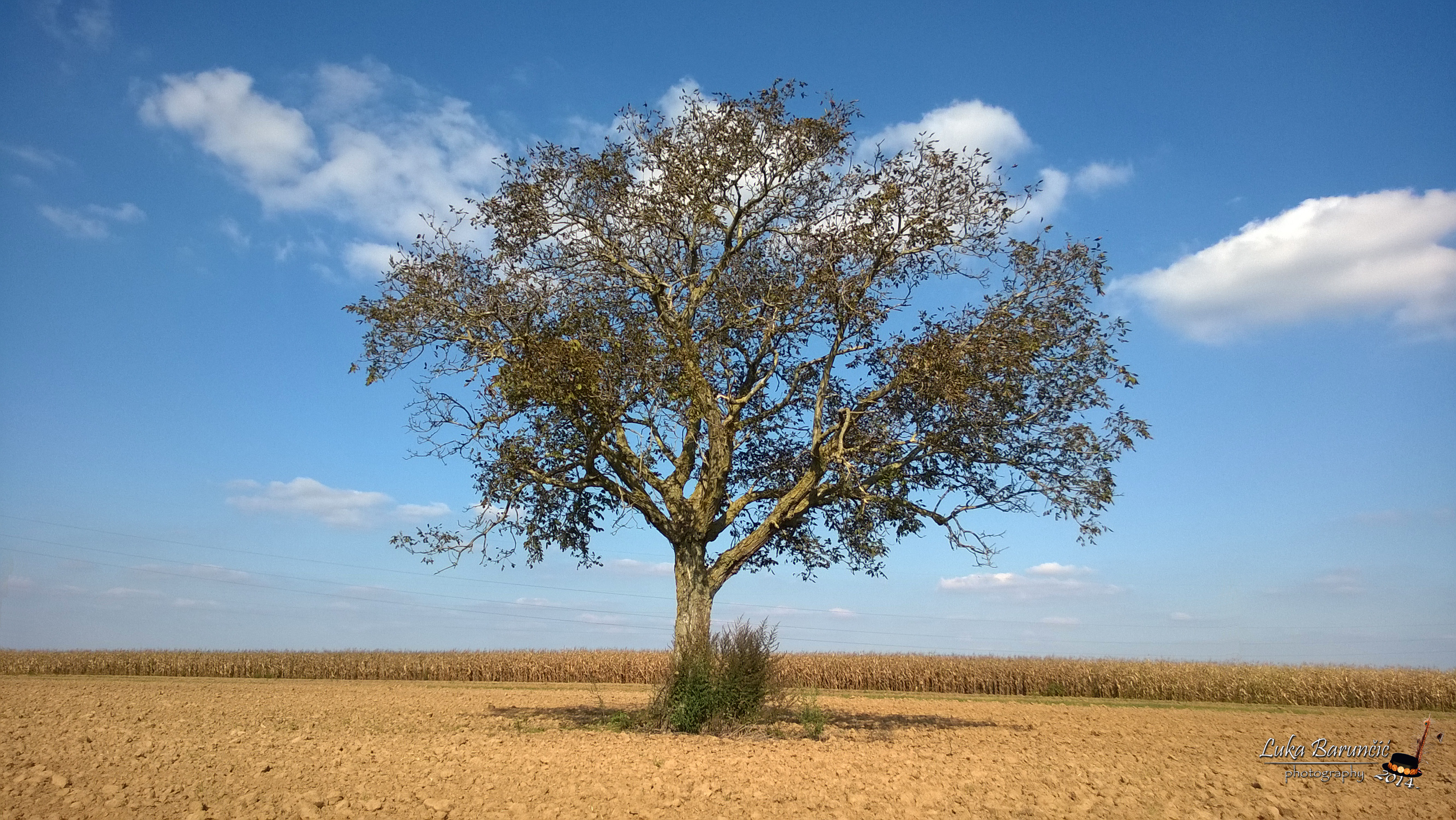
0330 Tree
0353 Hay Geometry
Blaženovića orah
Topographic Map of Ul. Stjepana Radića 78, Forkuševci, Croatia
Find elevation by address:

Places near Ul. Stjepana Radića 78, Forkuševci, Croatia:
Forkuševci
Općina Viškovci
Osijek-baranja County
Osijek
Osijek Oblast
Općina Vinkovci
Vinkovci
Ul. kralja Zvonimira, Vinkovci, Croatia
Vukovar-srijem County
Općina Beli Manastir
Beli Manastir
Magyarbóly
Općina Kneževi Vinogradi
Villány
Siklósi
Zmajevac
Općina Draž
Batina
Mohács
Sombor
Recent Searches:
- Elevation of Spaceport America, Co Rd A, Truth or Consequences, NM, USA
- Elevation of Warwick, RI, USA
- Elevation of Fern Rd, Whitmore, CA, USA
- Elevation of 62 Abbey St, Marshfield, MA, USA
- Elevation of Fernwood, Bradenton, FL, USA
- Elevation of Felindre, Swansea SA5 7LU, UK
- Elevation of Leyte Industrial Development Estate, Isabel, Leyte, Philippines
- Elevation of W Granada St, Tampa, FL, USA
- Elevation of Pykes Down, Ivybridge PL21 0BY, UK
- Elevation of Jalan Senandin, Lutong, Miri, Sarawak, Malaysia