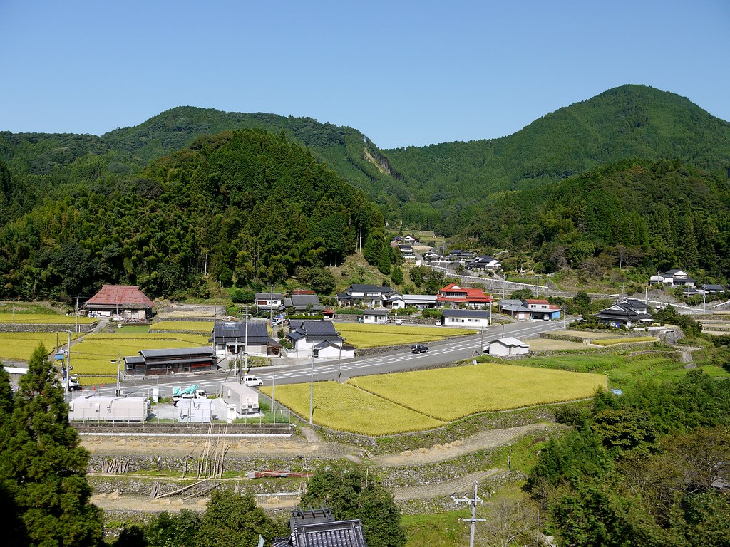
Elevation of Ukiha, Fukuoka Prefecture, Japan
Location: Japan > Fukuoka Prefecture >
Longitude: 130.754933
Latitude: 33.347297
Elevation: 31m / 102feet
Barometric Pressure: 101KPa
Elevation Map:
Satellite Map:
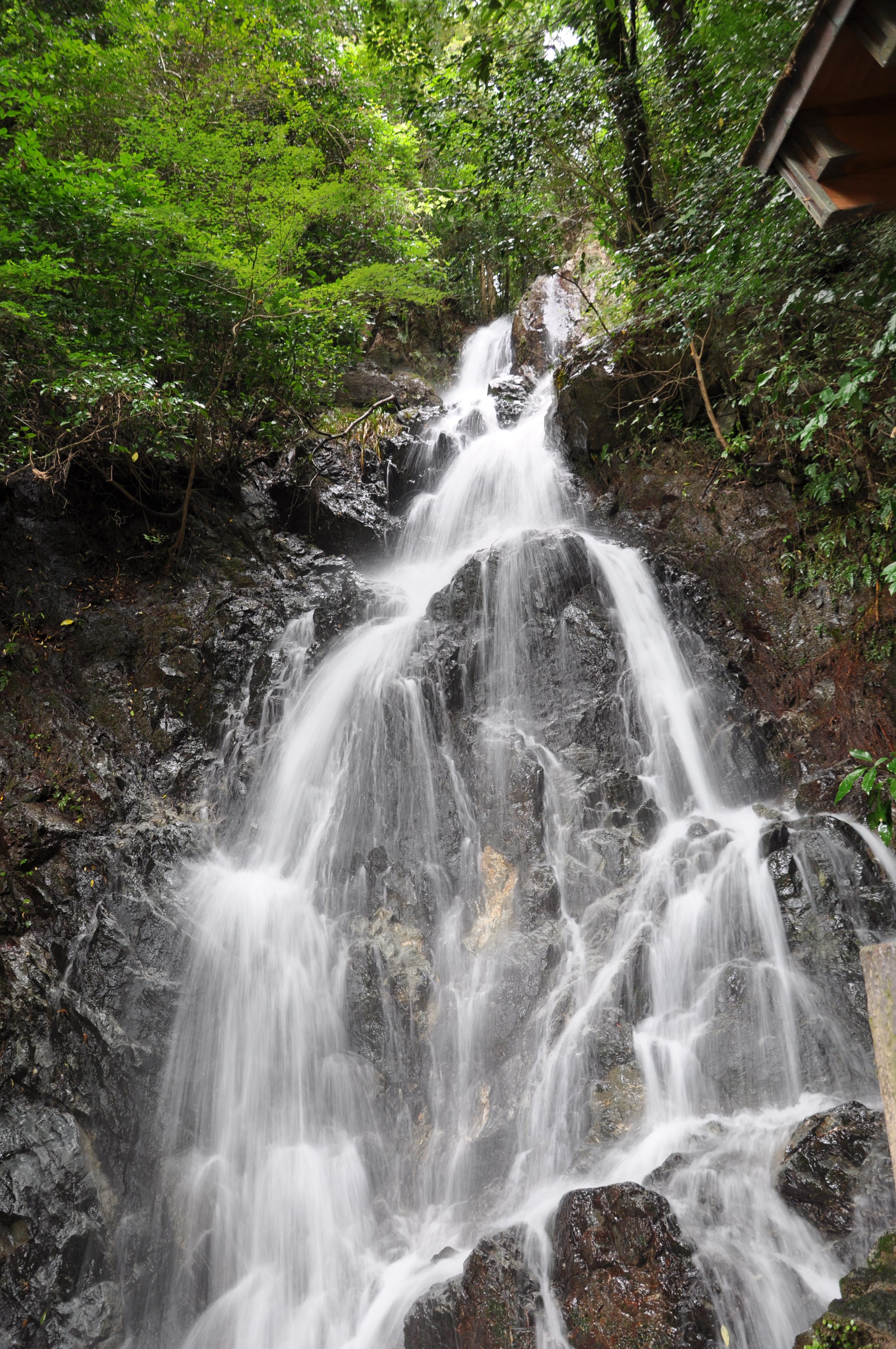
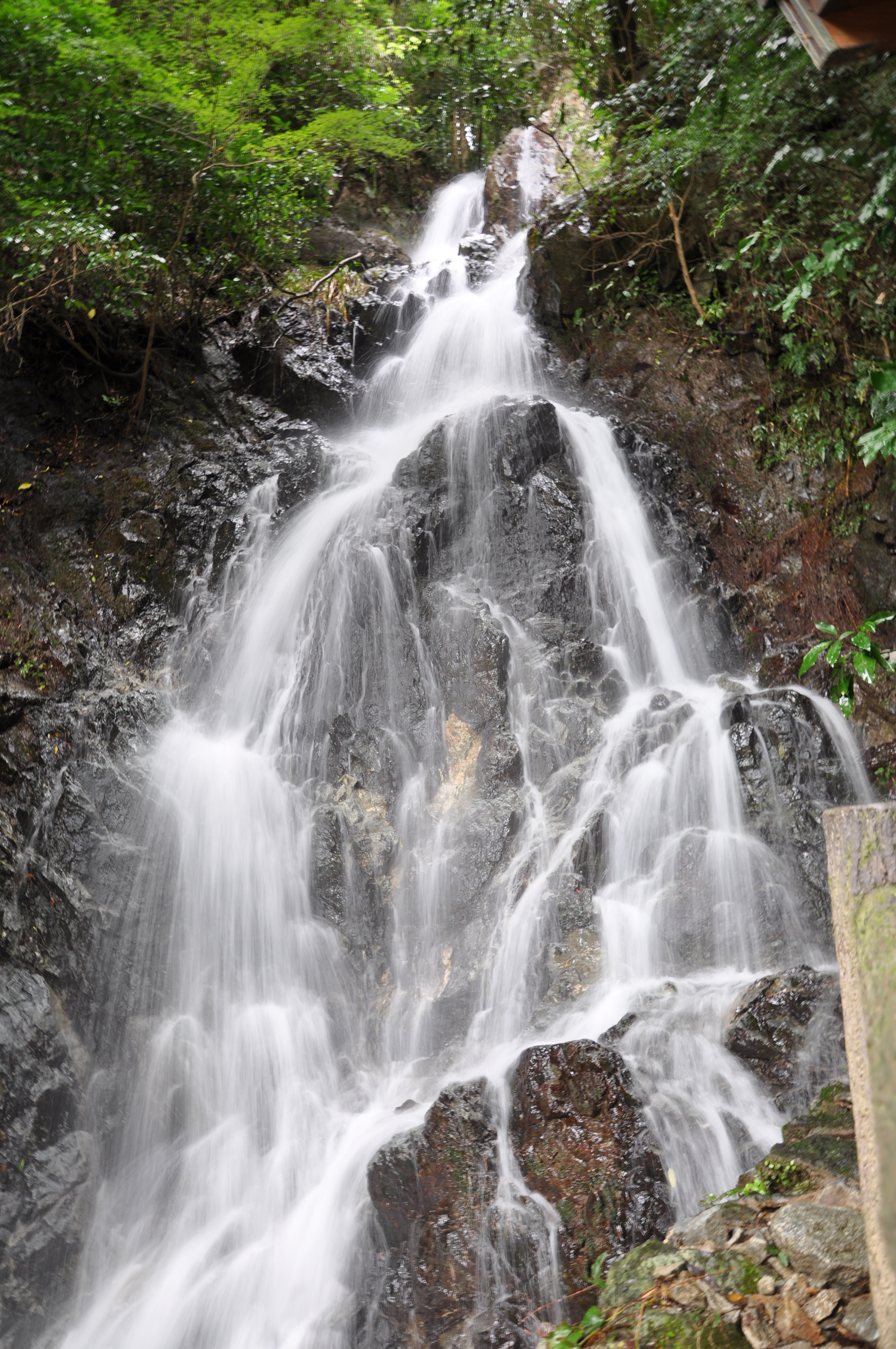
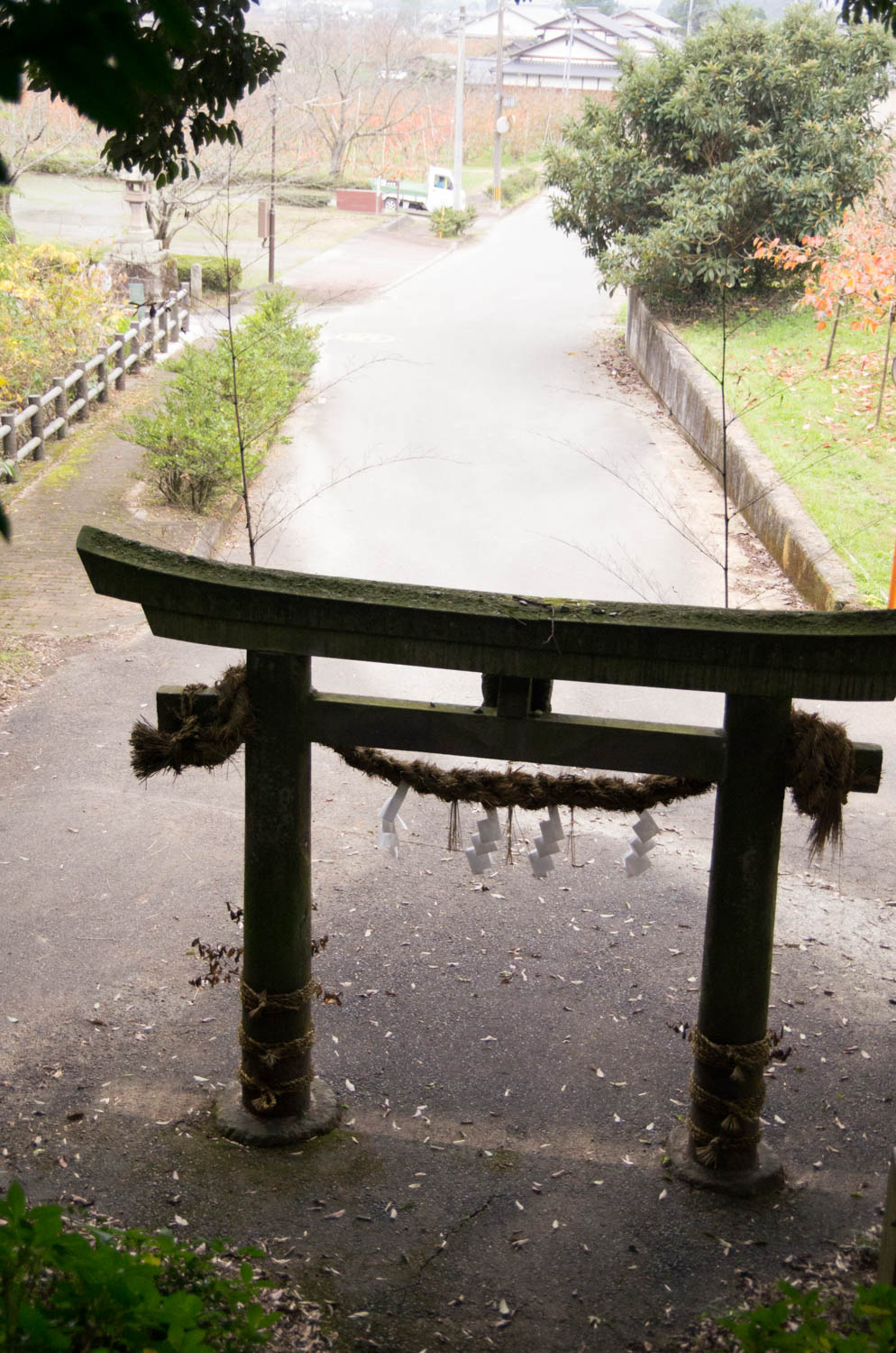
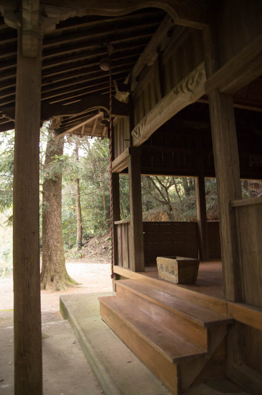
Related Photos:

Asakura-shi, Fukuoka Prefecture
View on the Way to Hita
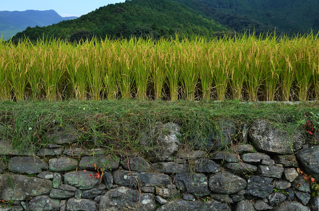
Akizuki Rice
2012.08.05_16.46.35

大石堰の水門
2012.08.05_16.47.13

My birthday cake is a piece of cake! #blindhirosanphotography u

巢鼠/カヤネズミ
日本樹蟾/日本アマガエル

Besökare Samtidigt

日田彦山線 眼鏡橋01
朝倉より古処山を望む。
well done!

日田彦山線 眼鏡橋02

外國客消費日幣1000就可以得到小禮物,好用心喔❤️
IMGP8542.jpg
IMGP8539.jpg
IMGP8538.jpg
IMGP8537.jpg
IMGP8532.jpg
IMGP8529.jpg
IMGP8526.jpg
IMGP8524.jpg

IMGP8521.jpg
IMGP8520.jpg
IMGP8514.jpg
IMGP8511.jpg
Topographic Map of Ukiha, Fukuoka Prefecture, Japan
Find elevation by address:

Places in Ukiha, Fukuoka Prefecture, Japan:
Places near Ukiha, Fukuoka Prefecture, Japan:
-6 Tanushimarumachi Toyoki, Kurume-shi, Fukuoka-ken -, Japan
Kurogimachi Kasahara
Tachiarai
Hongō, Tachiarai-machi, Mii-gun, Fukuoka-ken -, Japan
Mii-gun
2 Chome-1-38 Yamakawaoiwake, Kurume-shi, Fukuoka-ken -, Japan
4 Chome-12-17 Higashiaikawa
第2ヒロハイツ
Naganobu, Hirokawa-machi, Yame-gun, Fukuoka-ken -, Japan
Ogori
Yame District
Hirokawa
Fujinokimachi, Tosu-shi, Saga-ken -, Japan
-16 Yaritamachi, Tosu-shi, Saga-ken -, Japan
Kurume
14-1 Jōnanmachi
医療法人本間小児科医院
Tosu
Asahishinmachi, Tosu-shi, Saga-ken -, Japan
Higashio, Miyaki-chō, Miyaki-gun, Saga-ken -, Japan
Recent Searches:
- Elevation of Warwick, RI, USA
- Elevation of Fern Rd, Whitmore, CA, USA
- Elevation of 62 Abbey St, Marshfield, MA, USA
- Elevation of Fernwood, Bradenton, FL, USA
- Elevation of Felindre, Swansea SA5 7LU, UK
- Elevation of Leyte Industrial Development Estate, Isabel, Leyte, Philippines
- Elevation of W Granada St, Tampa, FL, USA
- Elevation of Pykes Down, Ivybridge PL21 0BY, UK
- Elevation of Jalan Senandin, Lutong, Miri, Sarawak, Malaysia
- Elevation of Bilohirs'k