Elevation of UEL Heritage Centre & Park (Museum), 54 Adolphustown Park Rd, Greater Napanee, ON K0H 1G0, Canada
Location: Canada > Ontario > Lennox And Addington County > Greater Napanee >
Longitude: -77.005035
Latitude: 44.0614664
Elevation: 79m / 259feet
Barometric Pressure: 100KPa
Elevation Map:
Satellite Map:
Related Photos:
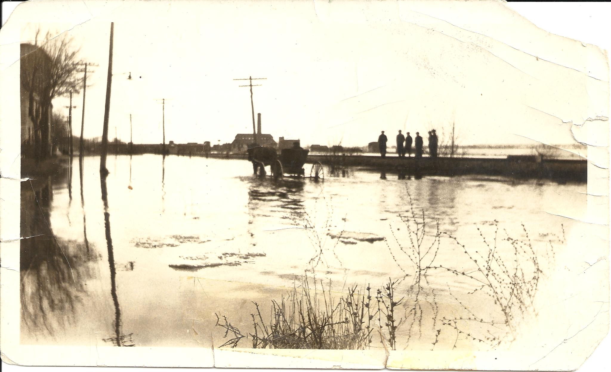
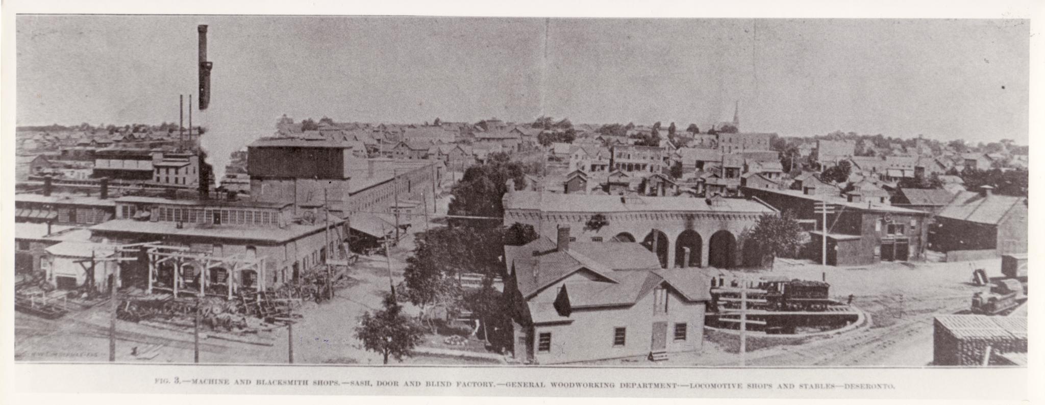
Main Street, Deseronto, flooded
2010.31(6)
2010.31 (7)
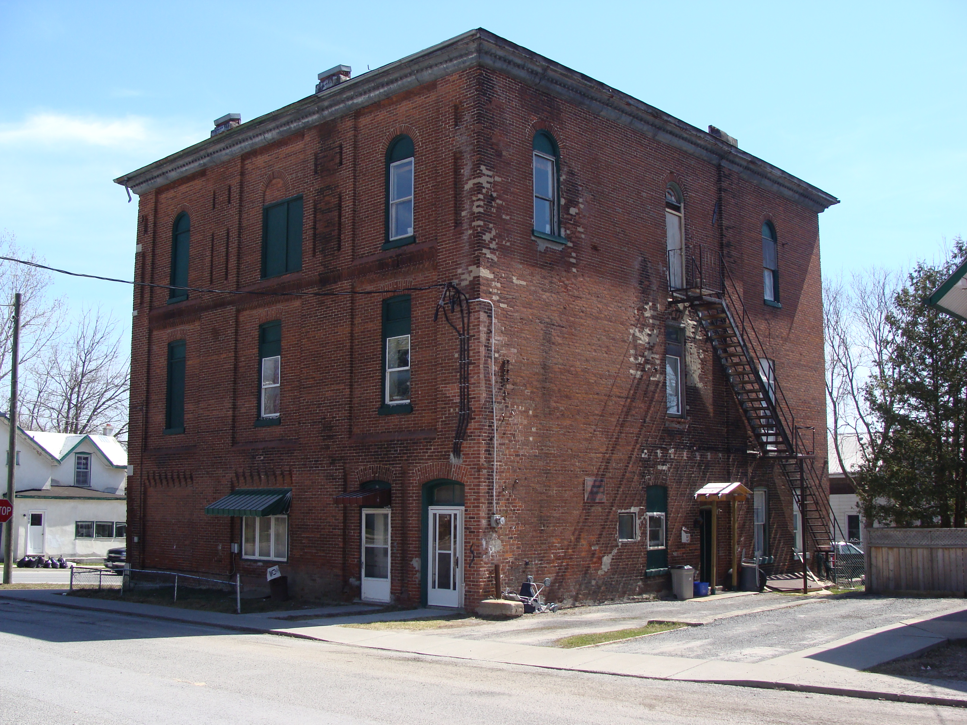
Clement Block, Deseronto

DESHIS-06-13
2010.31 (11)
2010.31(12)
Clement Block, Deseronto
DESHIS-06-14

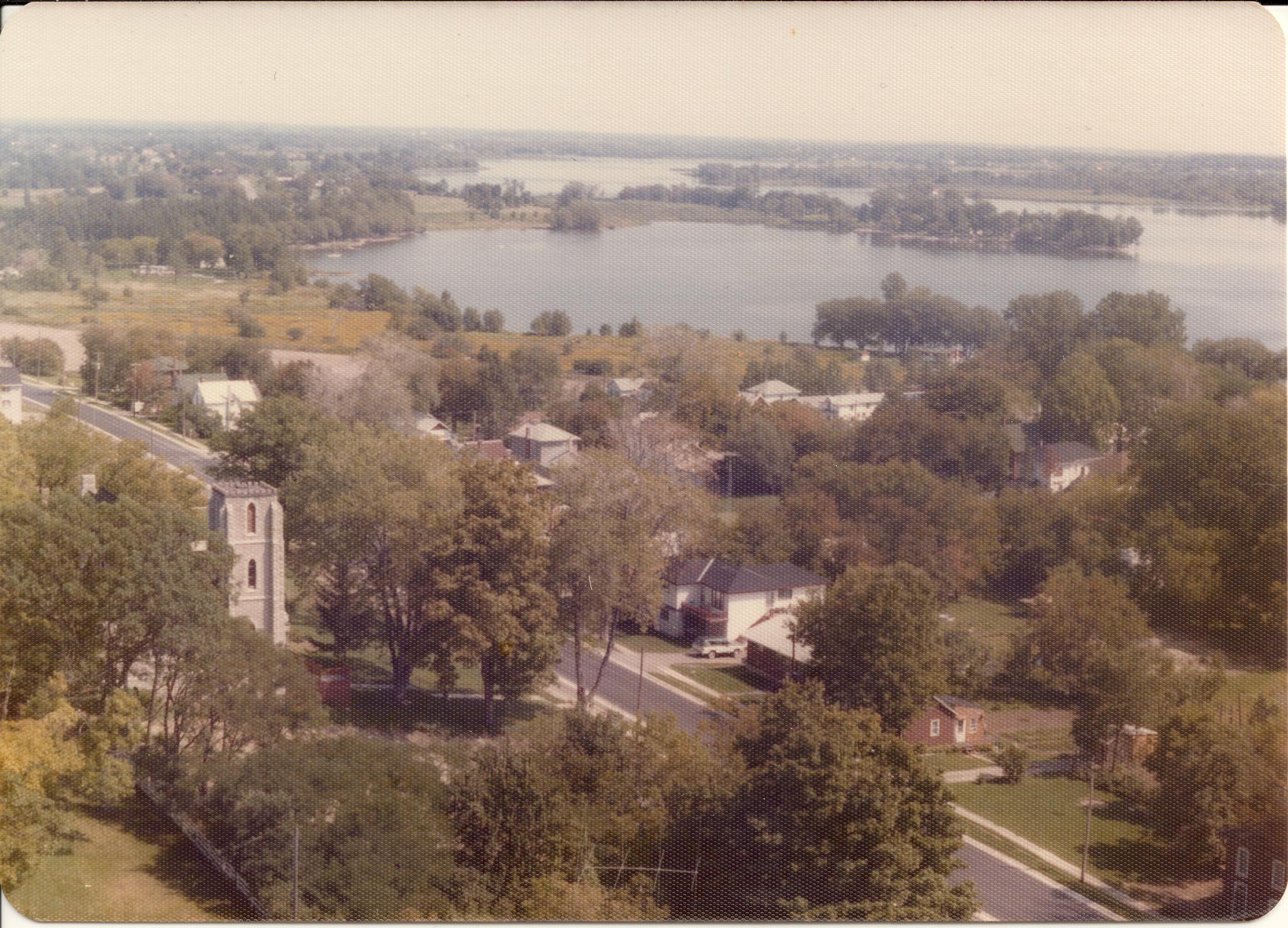
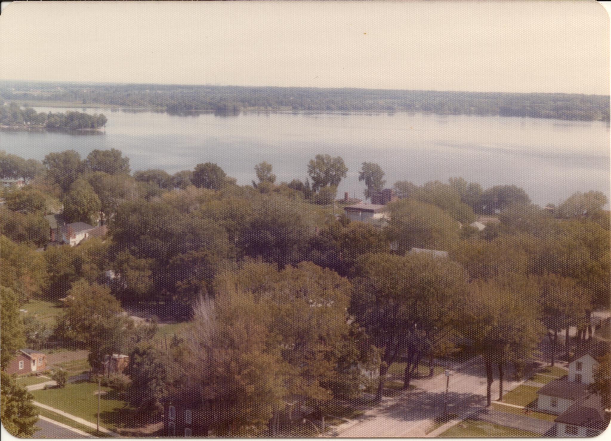
Lake on the Mountain-4653

V--
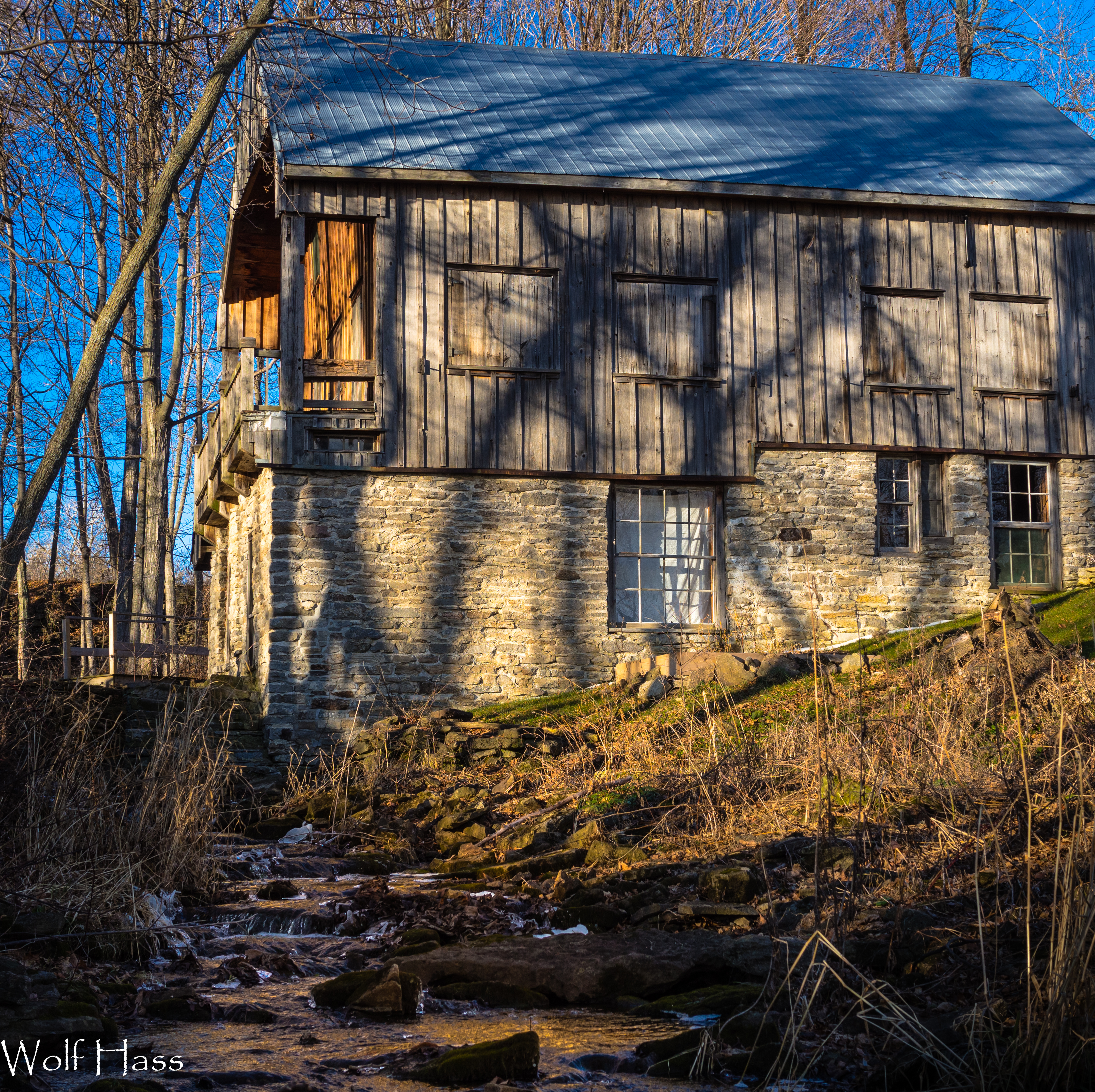
Joseph Allen Mill
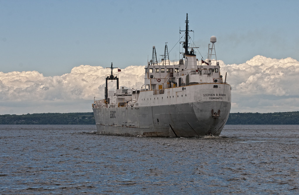
Stephan B Roman - Port Stern Quarter View

Prince Edward County Fall Colours

June 9 - from down low {interesting view of my irises} #TitleFx #fmsphotoaday #irises

Tranquility Bay 2.1
Jan 27 - sun {lovely view from my front porch, but not much warmth; -13c} #fmsphotoaday #sunshine #winter
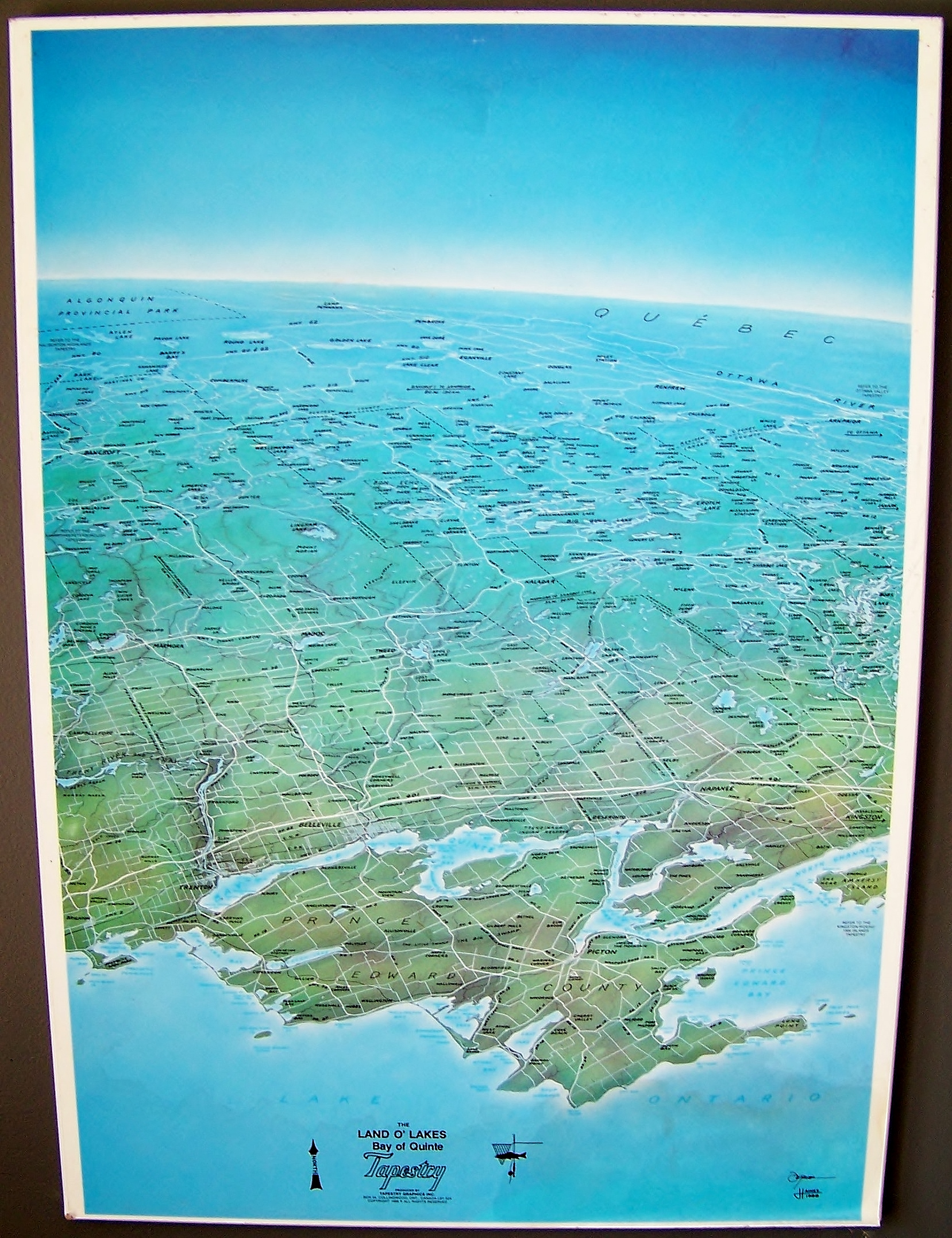
3D-ish satellite/aerial-view-ish map of the Quinte region and northwards
RATHCO-06-30

Jan 28 - through {view through my front door window} #fmsphotoaday

----

Nice Old House

New View
Oct 11 - 'M' is for ... {morning} This is my view as I left for work this morning. #fmsphotoaday #sunrise #princeedwardcounty #morning

June Sunset

.
Lake on a Mountain, Prince Edward County, Ontario

Winter Road
Sunset on the way home

Full moon peeking through the clouds during a break in the weather.

Looking Forward (Into The Sunset)

Abandoned Farm
Along Hwy 7 around Cressy Bayside Road, Prince Edward County, ON

Black & white edit
Tree in winter
Shimmy Shimmy Shimmer

52 Photos Project: week 2 - criss cross

Weeping Cyprus at Waupoos Winery-4691

County_Car (2).jpg
Prince Edward County Fall Colours
Topographic Map of UEL Heritage Centre & Park (Museum), 54 Adolphustown Park Rd, Greater Napanee, ON K0H 1G0, Canada
Find elevation by address:

Places near UEL Heritage Centre & Park (Museum), 54 Adolphustown Park Rd, Greater Napanee, ON K0H 1G0, Canada:
Adolphustown
47 Sidney Shore Ln
47 Sidney Shore Ln
47 Sidney Shore Ln
Picton Main St, Prince Edward, ON K0K, Canada
Picton
Picton Main Street
Demorestville
Bloomfield Main St, Bloomfield, ON K0K 1G0, Canada
Bloomfield
South Big Island Road
Prince Edward County
Prince Edward County
Prince Edward County
Prince Edward
Prince Edward
Prince Edward
Prince Edward
Prince Edward
Prince Edward
Recent Searches:
- Elevation of Zimmer Trail, Pennsylvania, USA
- Elevation of 87 Kilmartin Ave, Bristol, CT, USA
- Elevation of Honghe National Nature Reserve, QP95+PJP, Tongjiang, Heilongjiang, Jiamusi, Heilongjiang, China
- Elevation of Hercules Dr, Colorado Springs, CO, USA
- Elevation of Szlak pieszy czarny, Poland
- Elevation of Griffing Blvd, Biscayne Park, FL, USA
- Elevation of Kreuzburger Weg 13, Düsseldorf, Germany
- Elevation of Gateway Blvd SE, Canton, OH, USA
- Elevation of East W.T. Harris Boulevard, E W.T. Harris Blvd, Charlotte, NC, USA
- Elevation of West Sugar Creek, Charlotte, NC, USA