Elevation of U.S., US-, United States
Location: United States > Texas > Walker County > Huntsville >
Longitude: -95.748248
Latitude: 30.8587039
Elevation: 63m / 207feet
Barometric Pressure: 101KPa
Elevation Map:
Satellite Map:
Related Photos:

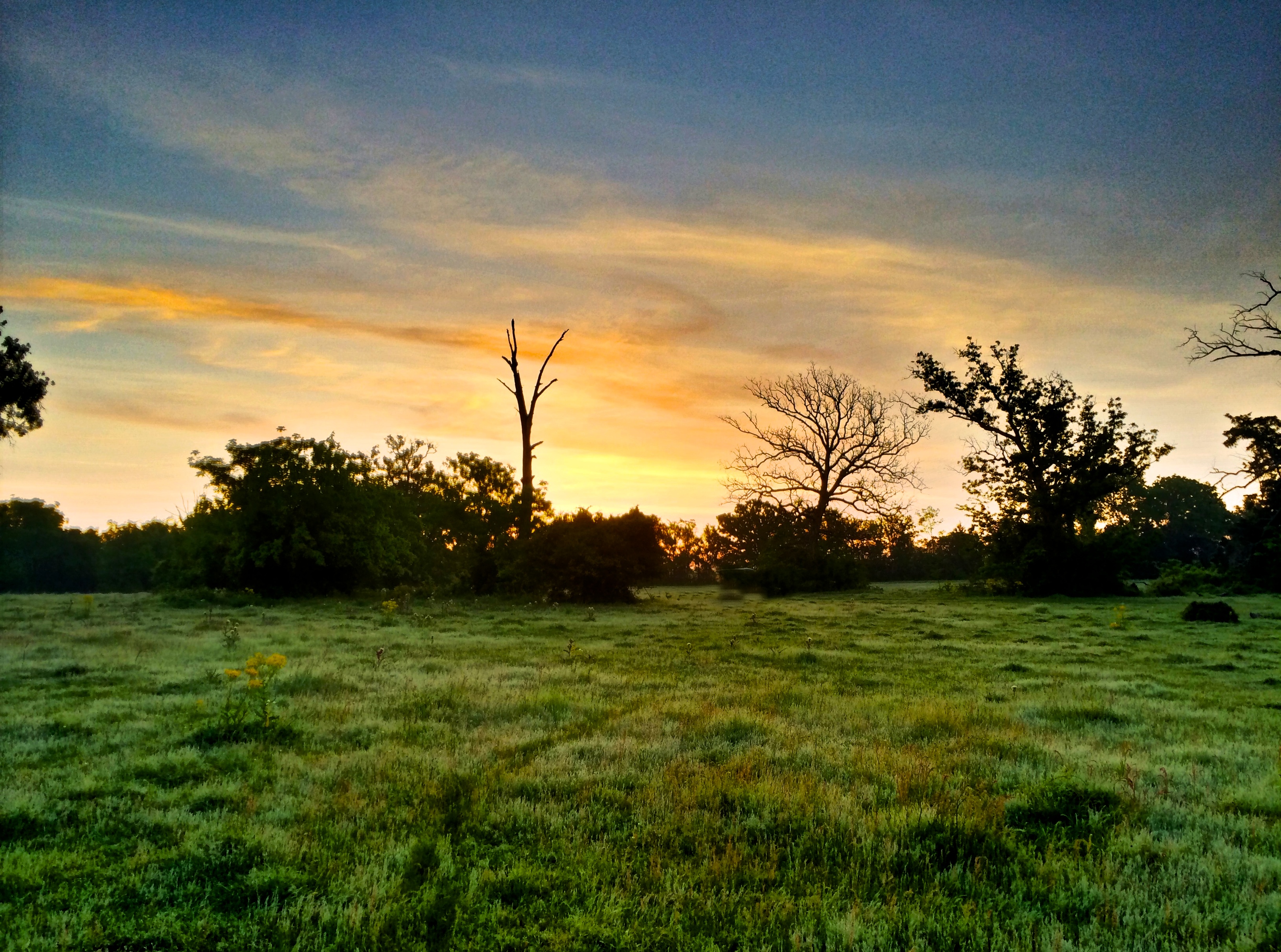
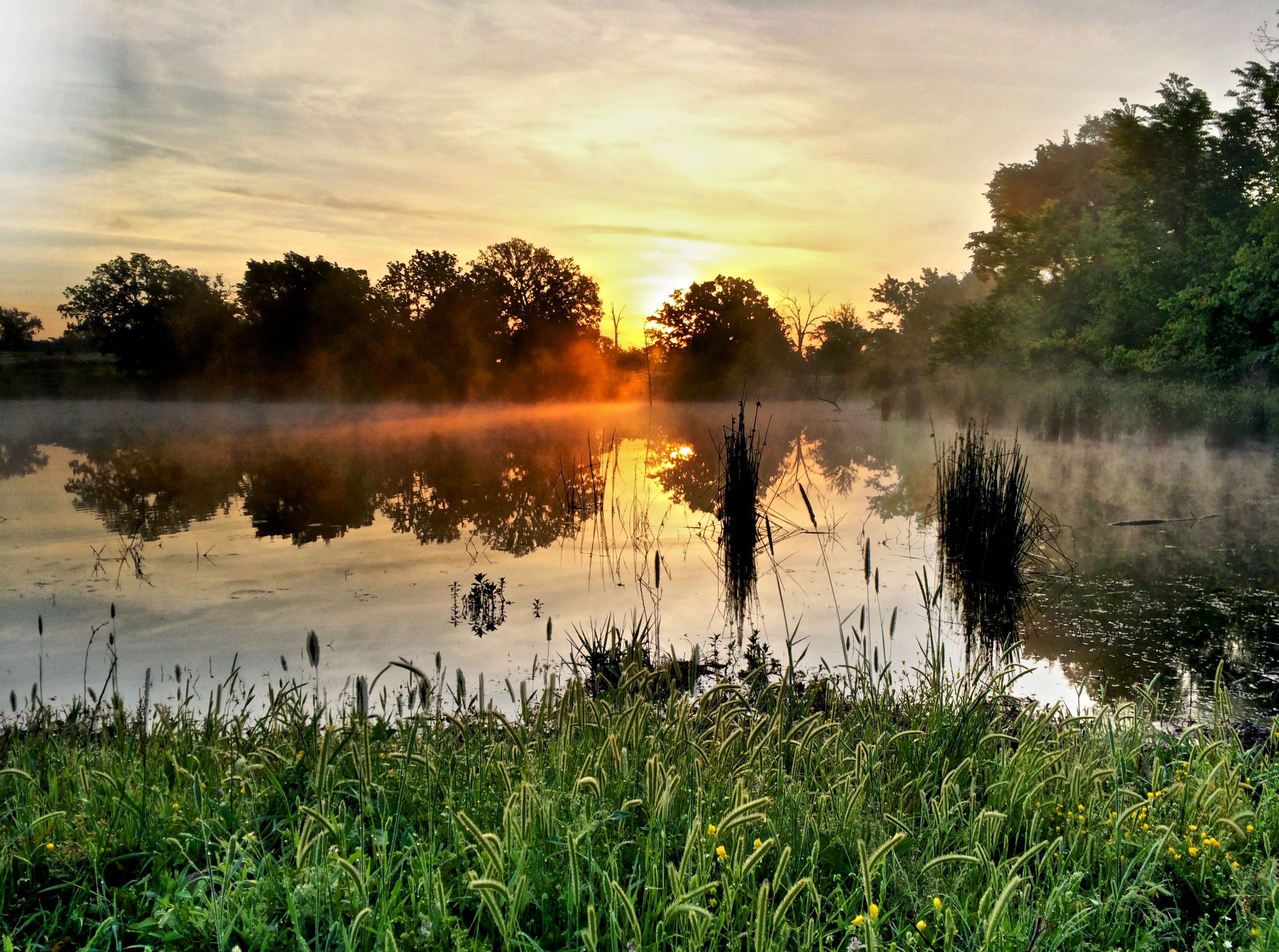
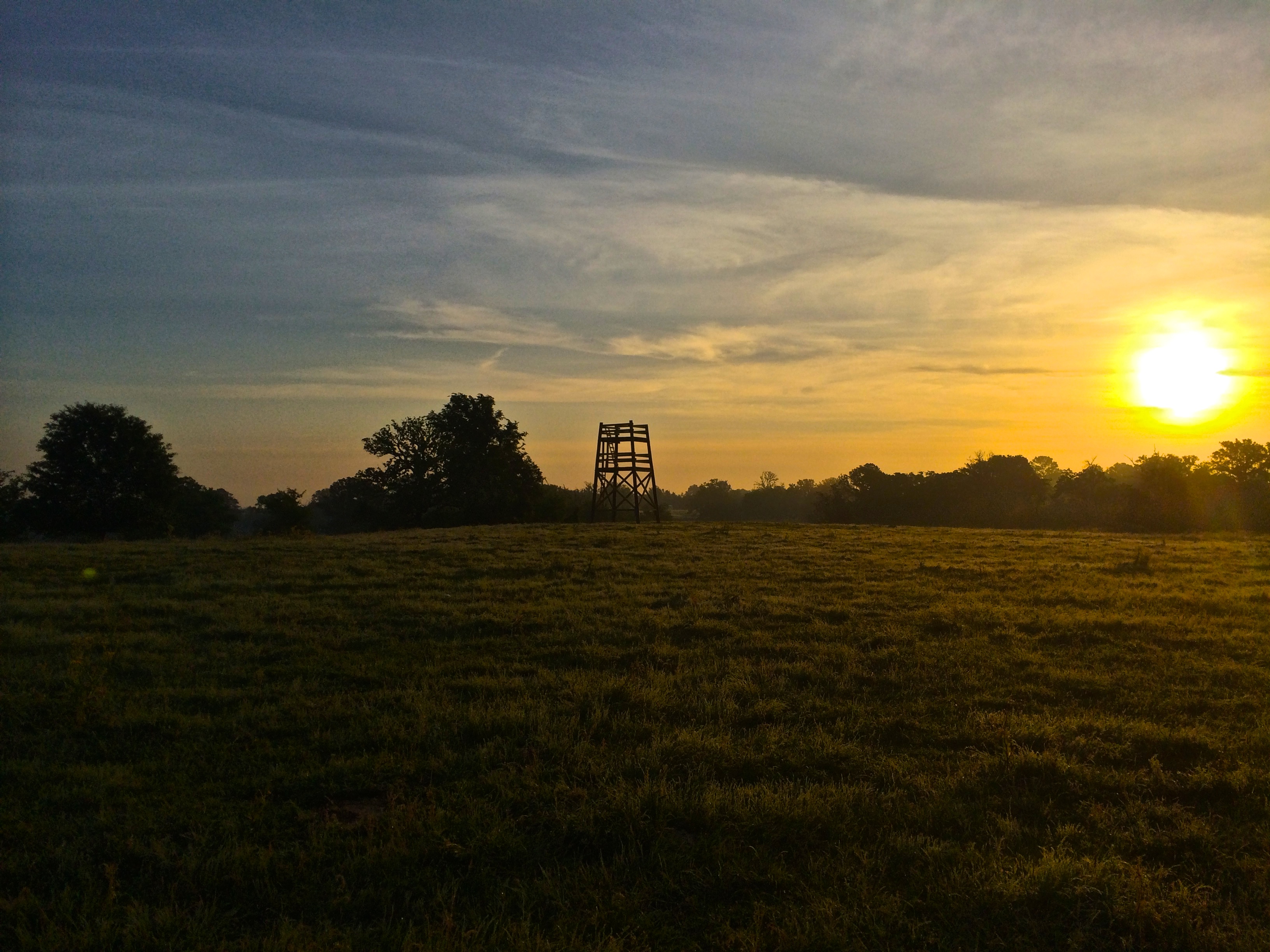
A Sunday Sunrise
TXDOT Rest Area I45 S
TXDOT Rest Area I45 S
TXDOT Rest Area I45 S
TXDOT Rest Area I45 S
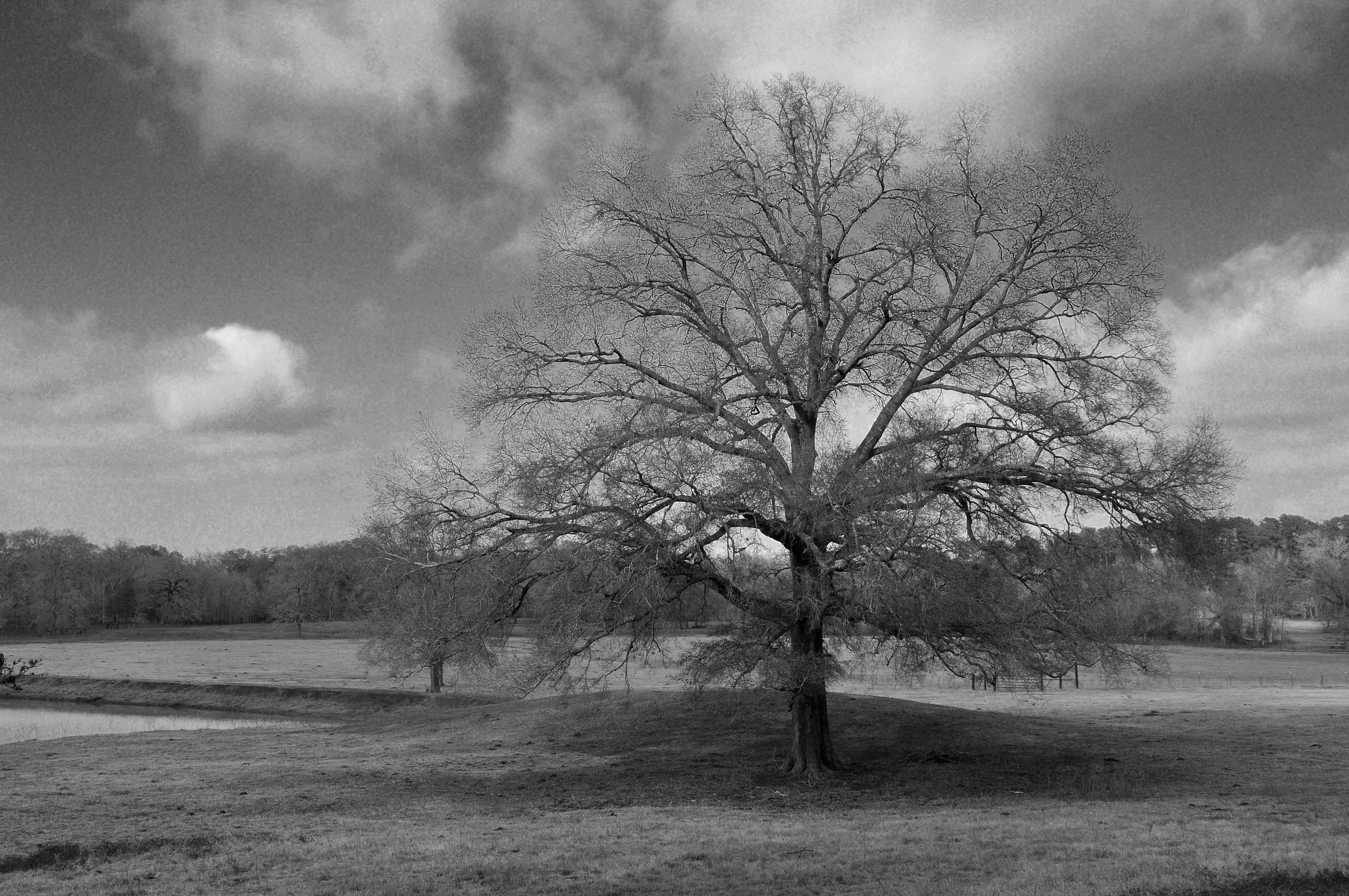
A Tree on a Winter Day

TXDOT Rest Area I45 S
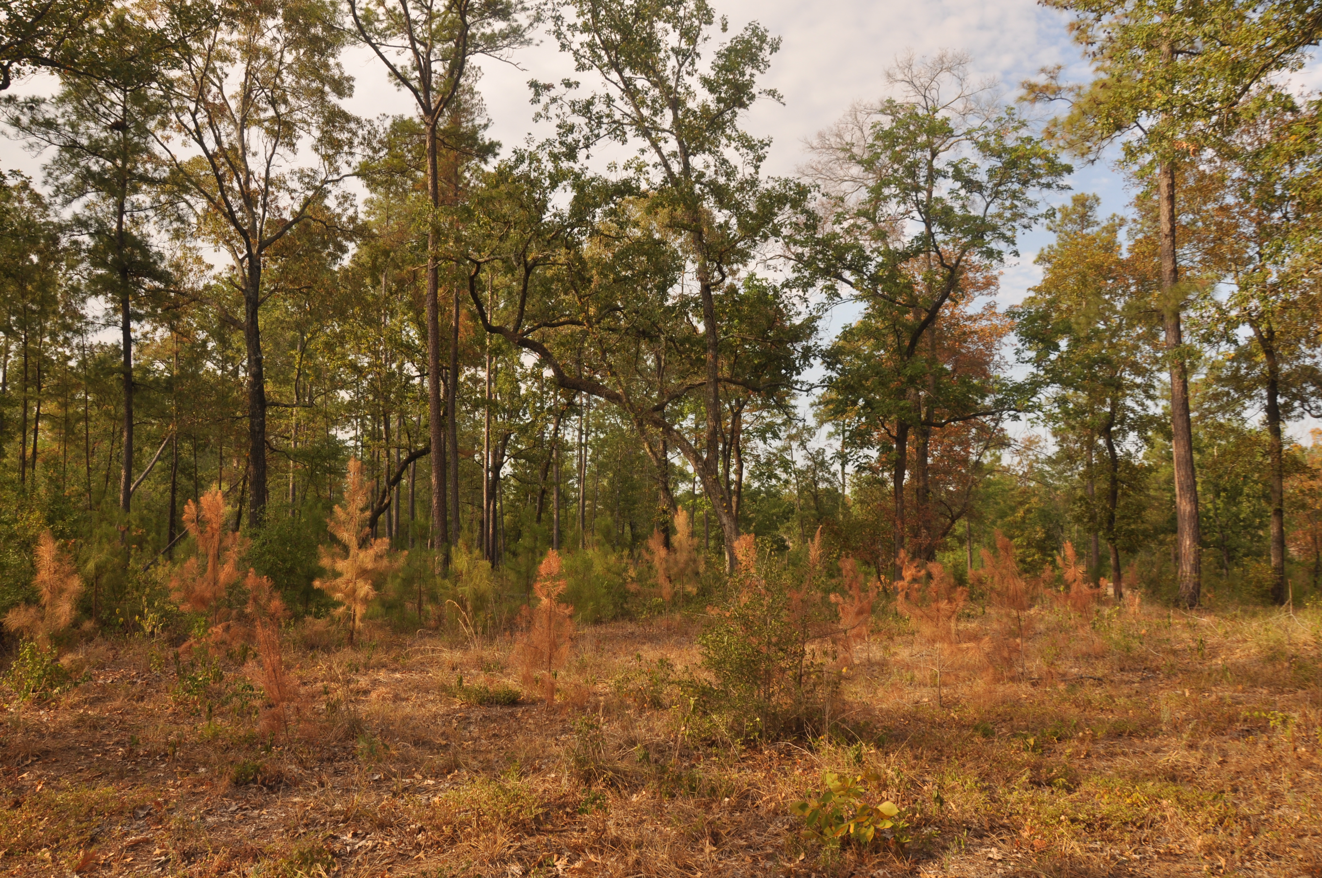
A Stand of (Dying) Trees
“Once a woman has given you her heart, you can never get rid of the rest of her.”

YC2014 Saturday 5

YC2014 Saturday 29
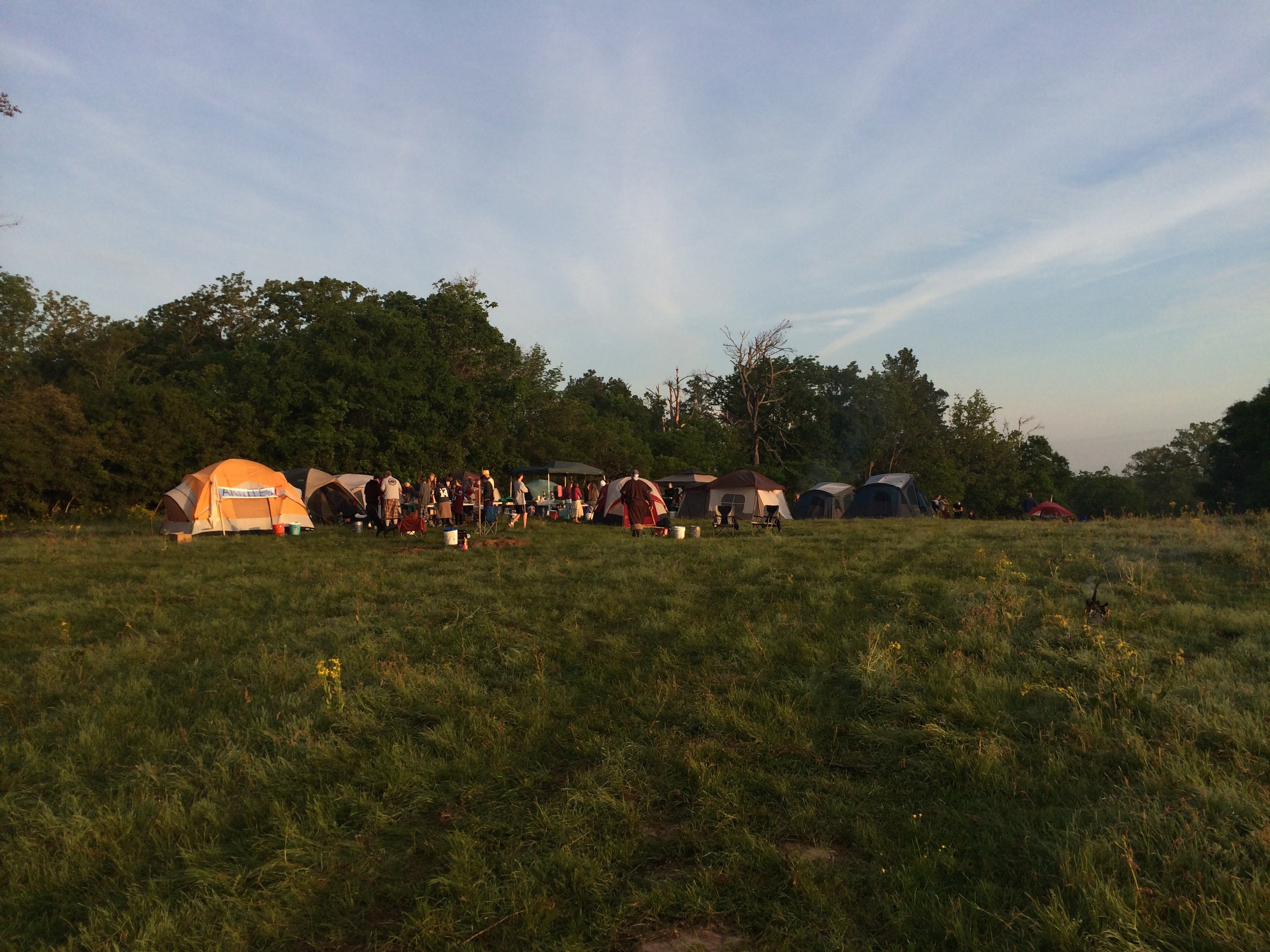
YC2014 Saturday 2

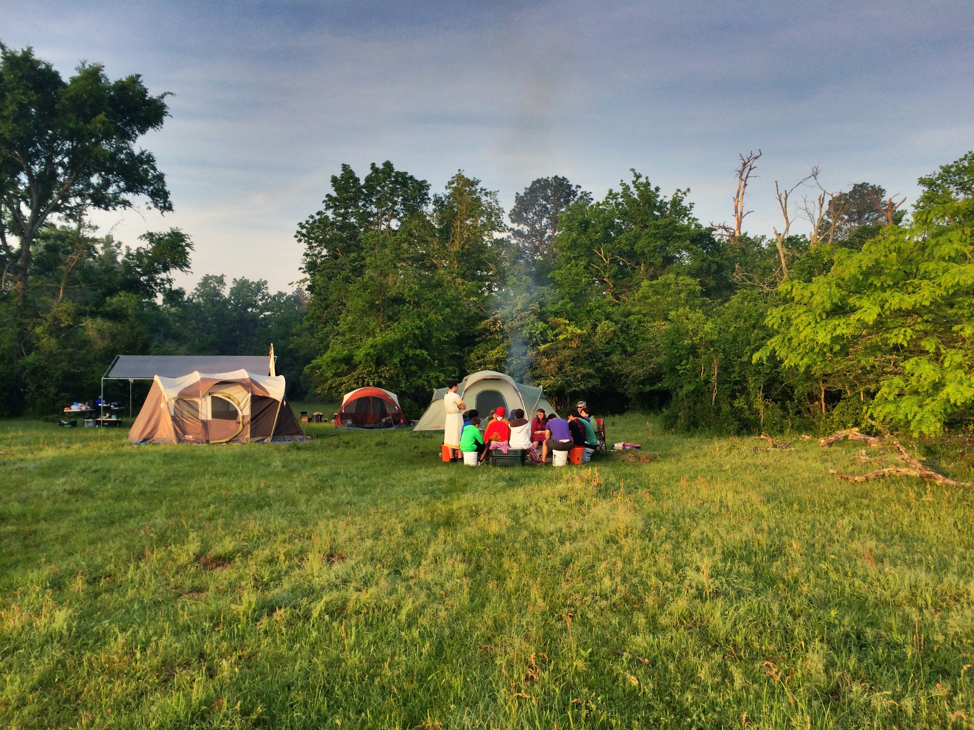
YC2014 Saturday 13
YC2014 Saturday 11
YC2014 Saturday 24
YC2014 Saturday 22
YC2014 Saturday 17

YC2014 Saturday 19
YC2014 Saturday 18
YC2014 Saturday 26
YC2014 Saturday 21

YC2014 Saturday 12
Topographic Map of U.S., US-, United States
Find elevation by address:

Places near U.S., US-, United States:
Bishop Road
503 Hopewell Rd
25784 Co Rd 131
25784 Co Rd 131
Farm To Market 1696
621 Birdwell Rd
22146 Co Rd 139
Walker County
Bedias
17843 Tx-90
Independence Drive
11115 Independence Dr
3542 Co Rd 413
23712 Bays Chapel Rd
2426 Co Rd 126
2426 Co Rd 126
2426 Co Rd 126
2426 Co Rd 126
21974 Chappel Way
8352 Red Oak Rd
Recent Searches:
- Elevation of Elwyn Dr, Roanoke Rapids, NC, USA
- Elevation of Congressional Dr, Stevensville, MD, USA
- Elevation of Bellview Rd, McLean, VA, USA
- Elevation of Stage Island Rd, Chatham, MA, USA
- Elevation of Shibuya Scramble Crossing, 21 Udagawacho, Shibuya City, Tokyo -, Japan
- Elevation of Jadagoniai, Kaunas District Municipality, Lithuania
- Elevation of Pagonija rock, Kranto 7-oji g. 8"N, Kaunas, Lithuania
- Elevation of Co Rd 87, Jamestown, CO, USA
- Elevation of Tenjo, Cundinamarca, Colombia
- Elevation of Côte-des-Neiges, Montreal, QC H4A 3J6, Canada