Elevation of U.S., US-, Blanco, TX, USA
Location: United States > Texas > Blanco County > Blanco >
Longitude: -98.421455
Latitude: 30.0996813
Elevation: -10000m / -32808feet
Barometric Pressure: 295KPa
Elevation Map:
Satellite Map:
Related Photos:

Goodnight Texas
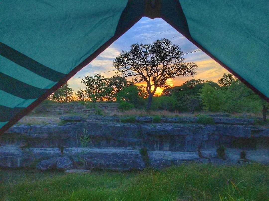
Sunrise tent ⛺️ view. Loving the sound of the creek flowing in front of me and all the calls of Texas spring wildlife ???? ???? Welcome to Sports Weekend Austin stlye #austin #texasranch #sportsweekend

Arc De Texas winery

Rust in Peace

Limestone Creek

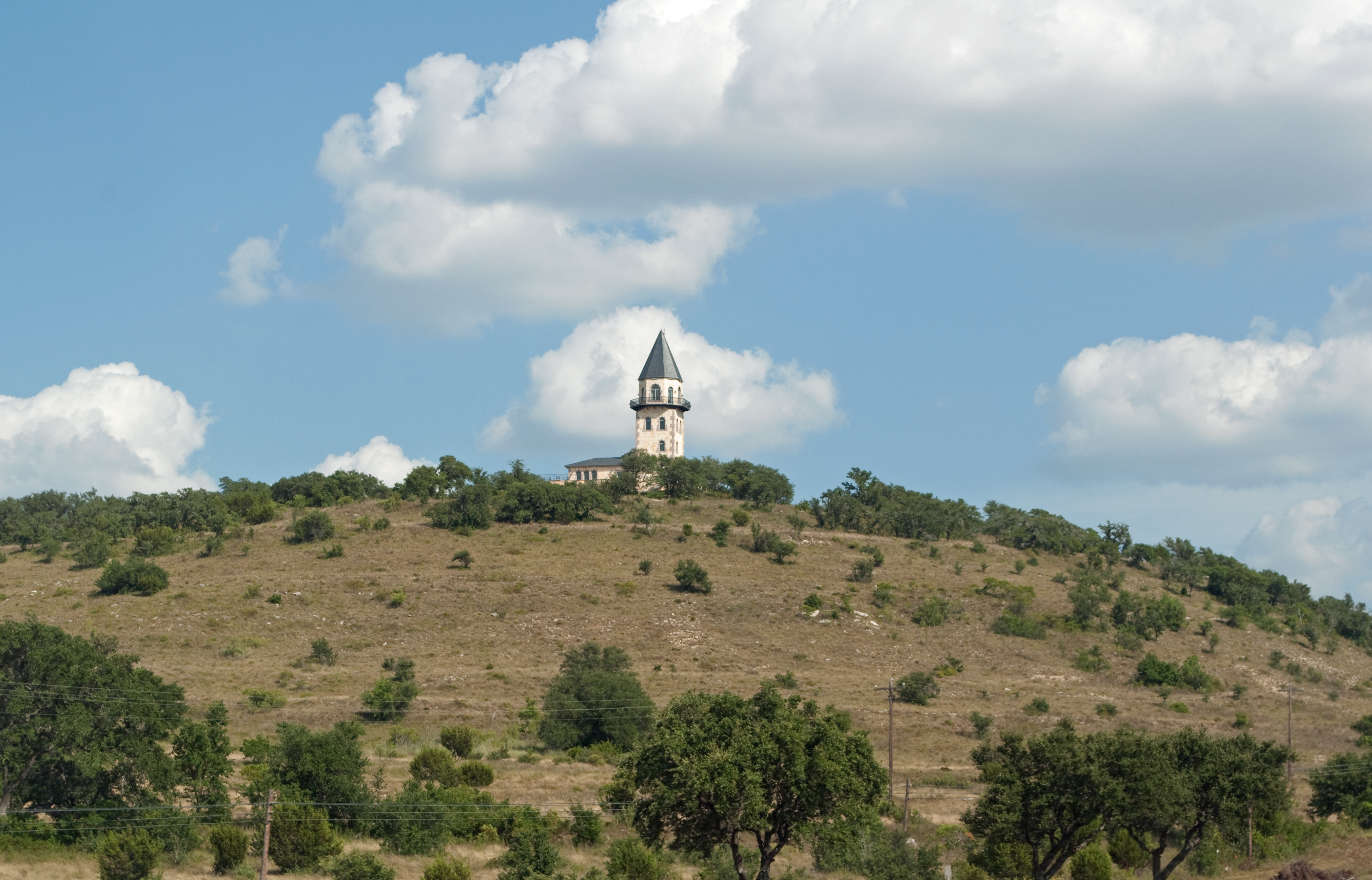
Tower of the Americas at HemisFair '68 - San Antonio, Texas

Hi Ho Silver, and Away!

Chirt.

Sheds in a shed

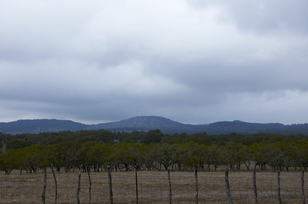
Texas Hill Country Vista

Meanwhile, Back at the Ranch...

Up a Creek

Spring comes to the Texas Hill Country

Gate Ring

Forgotten Truck in Texas

Hill Country Fixer Upper
Storm Clouds over the Hill Country

Ladder, Blanco Sp

St. Mary's Chapel & Cemetery

Meeting Hall

A long time forgotten...
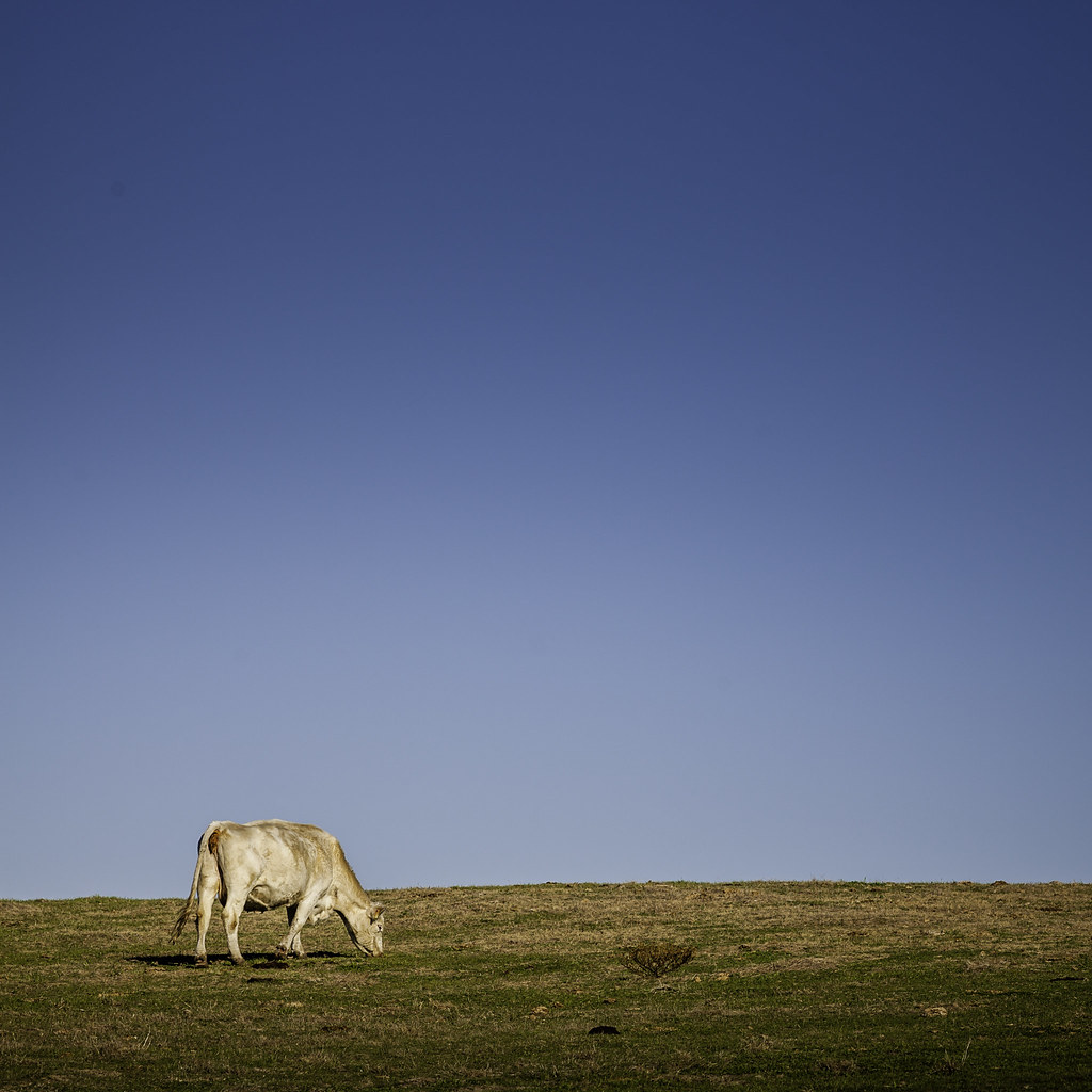
Grazing Cow
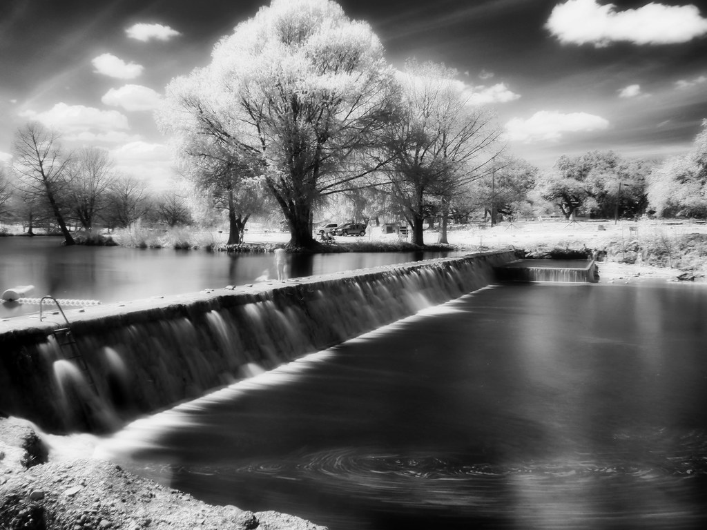
Blanco River. Black and White.

Crossing the Little Blanco river

Blanco River. Painterly take.

#goldenbirthday

Hi Kurt ☺. @khphotos

Flugrath, Sep 15, 2008
Lighthouse Hill Ranch
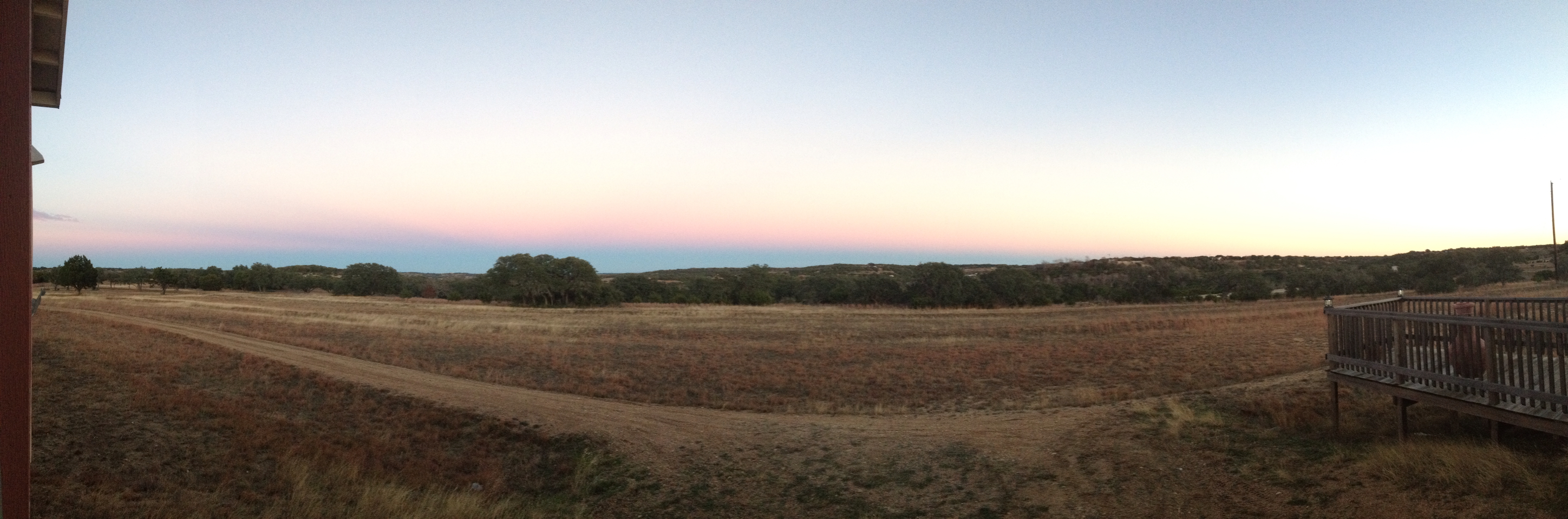
Sunset near Blanco, TX

Beginning of Narrows

The Narrows

At the first bend in the Narrows
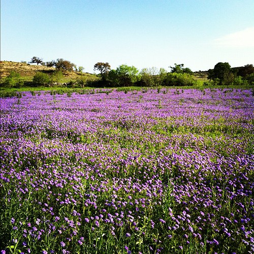
Texas wildflowers

Blanco River through the Narrows

Rust III Family Ranch Blanco, TX Family has chainsawed 287 acres of cedar this past 12 months. Photo courtesy Lacey Moraign.
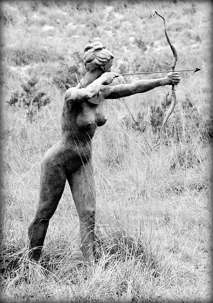
Scott Sustek - Diana

Dirty Balls

Looking downstream

Cedar Roots
Topographic Map of U.S., US-, Blanco, TX, USA
Find elevation by address:

Places near U.S., US-, Blanco, TX, USA:
U.s. 281
Blanco
Camino Cinco
South El Campo Drive
Chaparral Trail
386 Rocky River Rd
1227 Bonita Dr
1300 Lakeside Dr
581 Miss Donna Ln
US-, Dripping Springs, TX, USA
1301 Martin Rd
190 Thunder Pony Trail
Mt Gainor Rd, Dripping Springs, TX, USA
3000 Golds Rd
321 Meadow Oaks Dr
Lone Man Mountain
405 Hurlbut Rd
Dripping Springs
Bearkat Canyon Drive
1042 Bearkat Canyon Dr
Recent Searches:
- Elevation of Unnamed Road, Respublika Severnaya Osetiya — Alaniya, Russia
- Elevation of Verkhny Fiagdon, North Ossetia–Alania Republic, Russia
- Elevation of F. Viola Hiway, San Rafael, Bulacan, Philippines
- Elevation of Herbage Dr, Gulfport, MS, USA
- Elevation of Lilac Cir, Haldimand, ON N3W 2G9, Canada
- Elevation of Harrod Branch Road, Harrod Branch Rd, Kentucky, USA
- Elevation of Wyndham Grand Barbados Sam Lords Castle All Inclusive Resort, End of Belair Road, Long Bay, Bridgetown Barbados
- Elevation of Iga Trl, Maggie Valley, NC, USA
- Elevation of N Co Rd 31D, Loveland, CO, USA
- Elevation of Lindever Ln, Palmetto, FL, USA