Elevation of Tyringham Rd, Tyringham NSW, Australia
Location: Australia > New South Wales > Clarence Valley Council > Tyringham >
Longitude: 152.556111
Latitude: -30.231932
Elevation: 771m / 2530feet
Barometric Pressure: 92KPa
Elevation Map:
Satellite Map:
Related Photos:

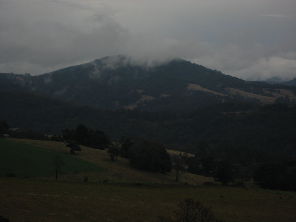
Mount Hyland

New England Colours

tall moist forest

Tallowwood (Eucalyptus microcorys)

Mt Hyland Lookout

Waterfall way, New South Wales

Dorrigo Plateau
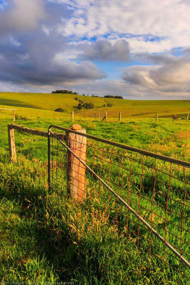
Pasture area on the Dorrigo Plateau

2017-10-26_1857.39_Clouds

2017-10-26_1538.32_Clouds

2017-10-26_1539.17_Clouds

2017-10-26_1900.19_Clouds

Australia [089]

Waterfall Way, NSW
Waterfall Way, NSW

Rainbow, Waterfall Way, NSW

Waterfall Way, NSW
Topographic Map of Tyringham Rd, Tyringham NSW, Australia
Find elevation by address:

Places near Tyringham Rd, Tyringham NSW, Australia:
Tyringham
7630 Armidale Rd
Fernbrook
247 Deer Vale Rd
Megan
Chrysalis School
Ebor
Bellingen Shire Council
Thora
Kalang Road
Lowanna
Kalang
Clarence Valley Council
492 Timber Top Rd
Rosslyn
Bellingen
Spicketts Creek
356 N Island Loop Rd
1399 Bowraville Rd
1399 Bowraville Rd
Recent Searches:
- Elevation of Zimmer Trail, Pennsylvania, USA
- Elevation of 87 Kilmartin Ave, Bristol, CT, USA
- Elevation of Honghe National Nature Reserve, QP95+PJP, Tongjiang, Heilongjiang, Jiamusi, Heilongjiang, China
- Elevation of Hercules Dr, Colorado Springs, CO, USA
- Elevation of Szlak pieszy czarny, Poland
- Elevation of Griffing Blvd, Biscayne Park, FL, USA
- Elevation of Kreuzburger Weg 13, Düsseldorf, Germany
- Elevation of Gateway Blvd SE, Canton, OH, USA
- Elevation of East W.T. Harris Boulevard, E W.T. Harris Blvd, Charlotte, NC, USA
- Elevation of West Sugar Creek, Charlotte, NC, USA