Elevation of TX-63, Jasper, TX, USA
Location: United States > Texas > Jasper County > Jasper >
Longitude: -93.962550
Latitude: 30.9366463
Elevation: 73m / 240feet
Barometric Pressure: 100KPa
Elevation Map:
Satellite Map:
Related Photos:

Day 125: side view

Sandy Creek-Oblique View

Day 342: Out of focus point of view

Entering Jasper County (Jasper County, Texas)

Touch Me Nots!

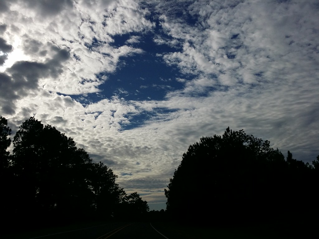
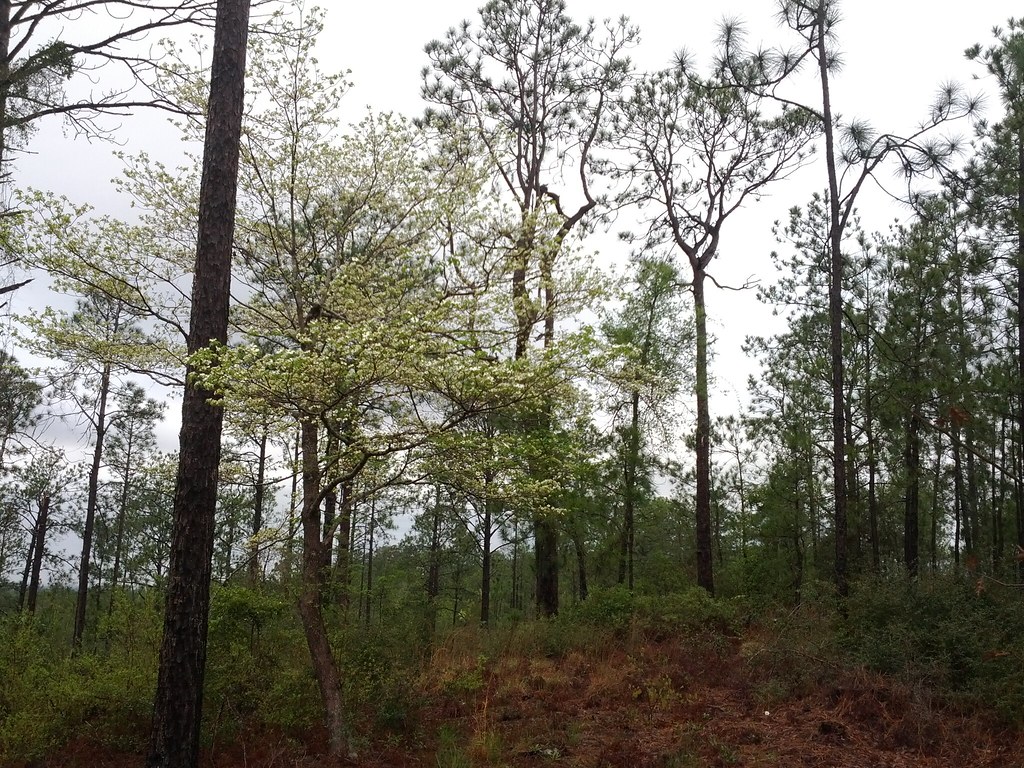
Sky and Trees

Day 271: fall sky
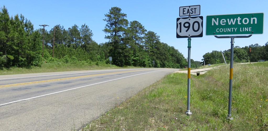
Entering Newton County (Newton County, Texas)
Day 296: Sky Blanket

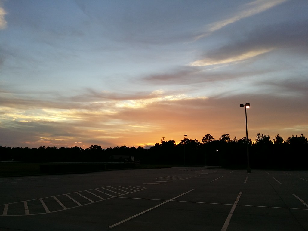
Day 299: Parking lot sunset

Day 143: Evening sky

Day 51: Morning

Day 270: Pod people

Day 15: Lonely Highway

Day 259: Rain falling

Day 311: Last light
Day 281: October sunset

Day 2222: Big Mushroom in the grass

Day 289: Morning drive

Day 329: After the Cold front
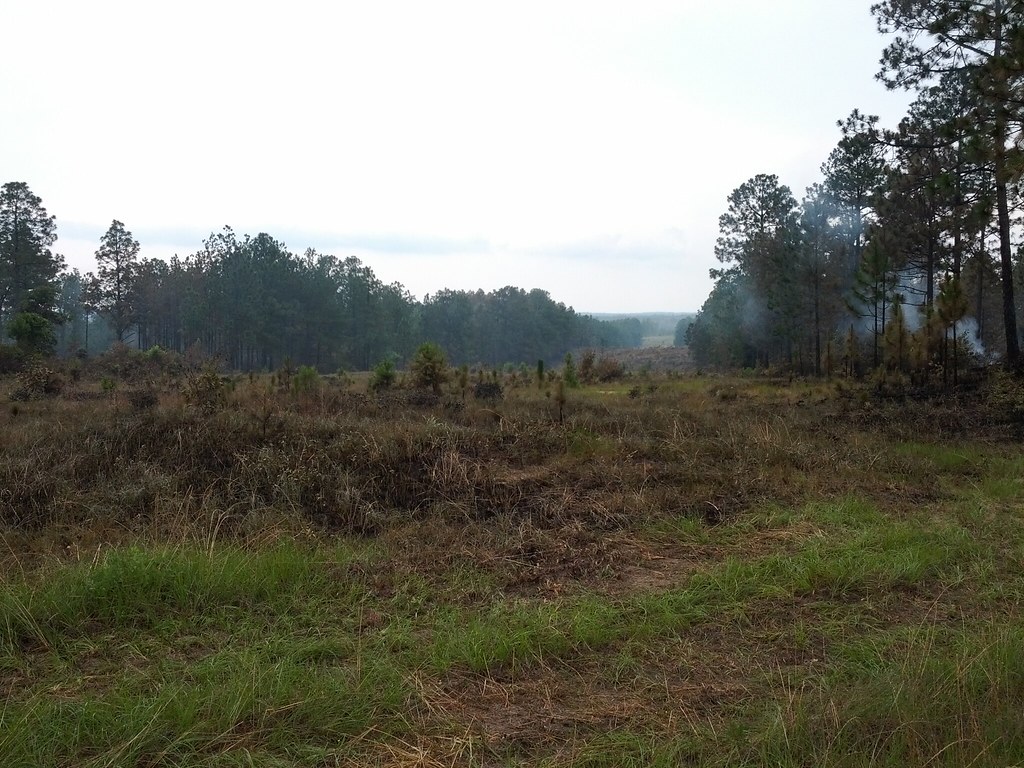
Day 137: Controlled Burning
Day 73: Renewal
Topographic Map of TX-63, Jasper, TX, USA
Find elevation by address:

Places near TX-63, Jasper, TX, USA:
Jasper County
Jasper
Hunterwood Drive
864 Hunterwood Dr
Huff Creek Rd, Jasper, TX, USA
US-, Jasper, TX, USA
7678 U.s. Hwy 190
3476 Fm252
3963 Fm252
US-96, Jasper, TX, USA
FM, Wiergate, TX, USA
County Road 138
FM, Jasper, TX, USA
6073 Us Hwy 190 W
FM, Kirbyville, TX, USA
383 Co Rd 479
383 Co Rd 479
383 Co Rd 479
383 Co Rd 479
383 Co Rd 479
Recent Searches:
- Elevation of 4 Vale Rd, Sheffield S3 9QX, UK
- Elevation of Keene Point Drive, Keene Point Dr, Grant, AL, USA
- Elevation of State St, Zanesville, OH, USA
- Elevation of Austin Stone Dr, Haslet, TX, USA
- Elevation of Bydgoszcz, Poland
- Elevation of Bydgoszcz, Poland
- Elevation of Calais Dr, Del Mar, CA, USA
- Elevation of Placer Mine Ln, West Jordan, UT, USA
- Elevation of E 63rd St, New York, NY, USA
- Elevation of Elk City, OK, USA