Elevation of TX-60 Loop, Larue, TX, USA
Location: United States > Texas > Henderson County > Larue >
Longitude: -95.673363
Latitude: 32.1166597
Elevation: 148m / 486feet
Barometric Pressure: 100KPa
Elevation Map:
Satellite Map:
Related Photos:

Spring!
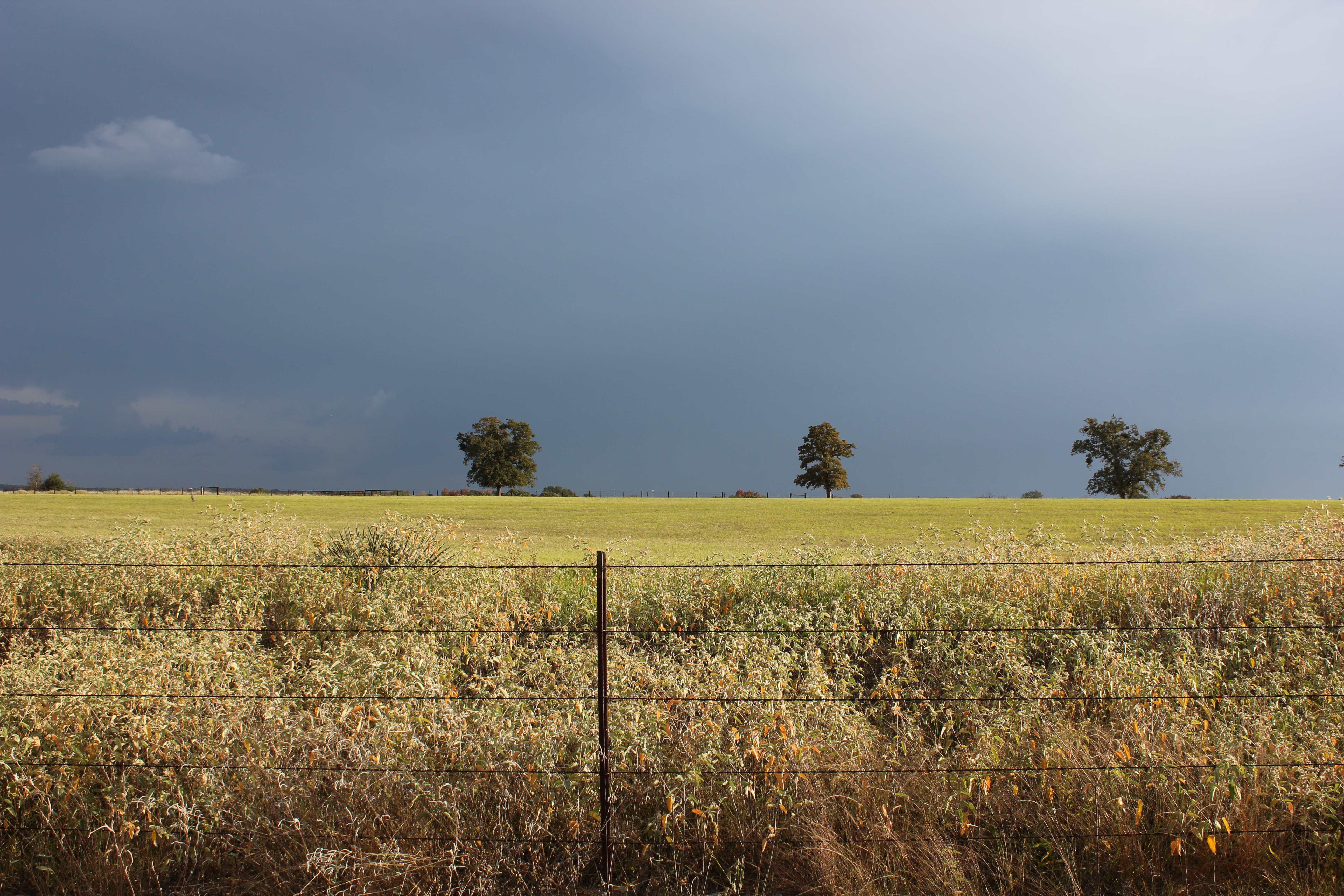
Field of Gold - Explore
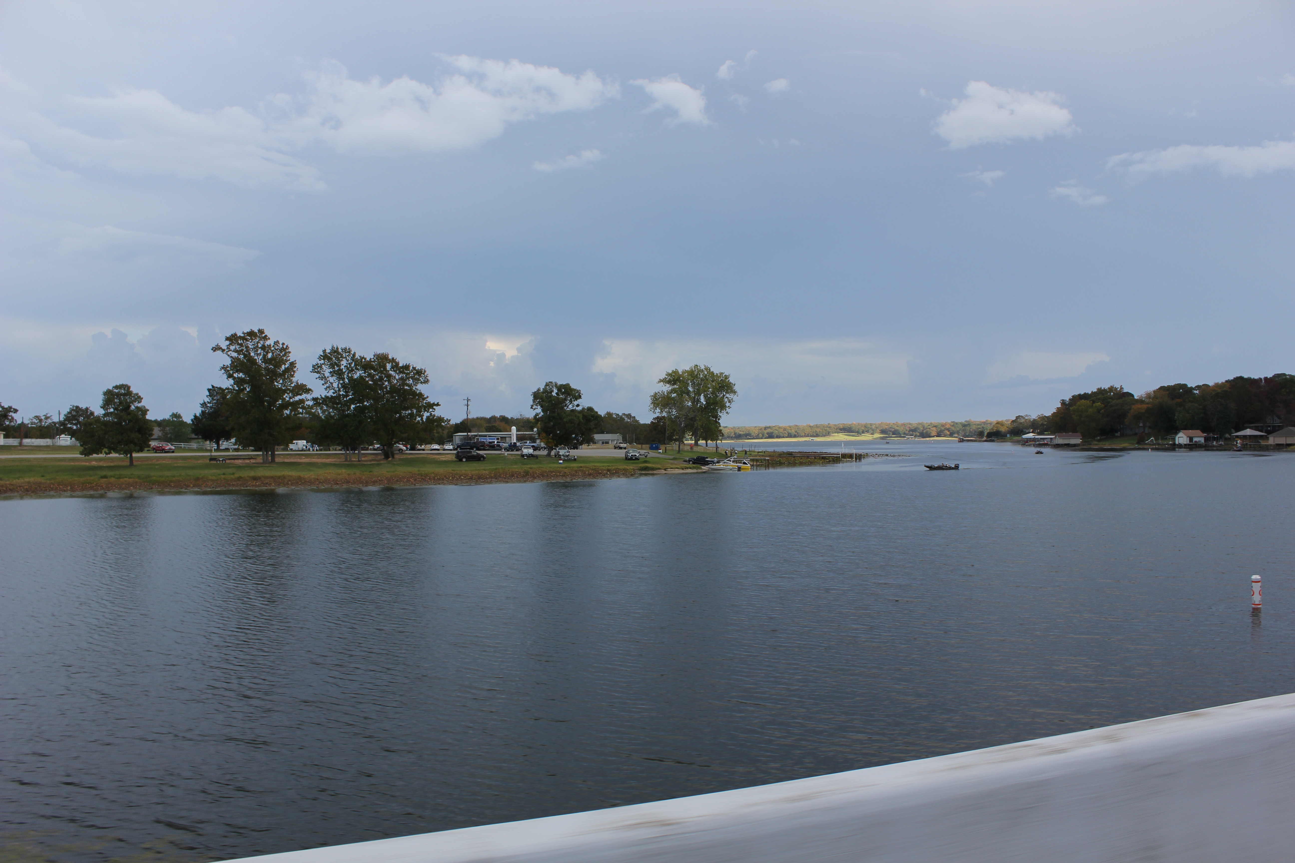
Lake Athens 1, Athens, Texas

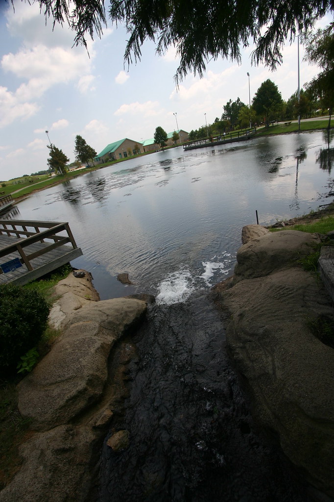
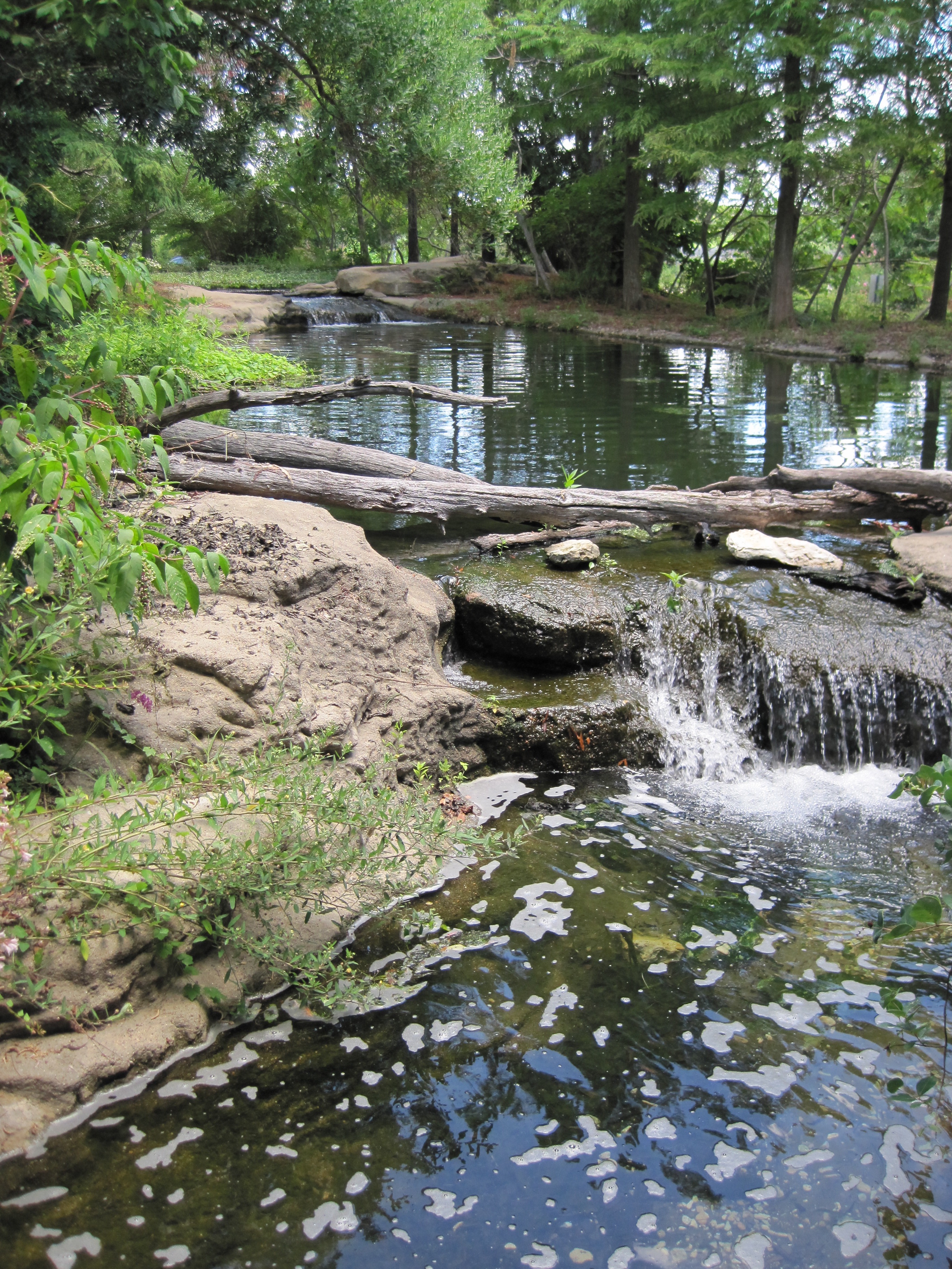
Rock Bridge

The Fishing Hole
Keep The Water Moving
Surrounded by Pines
Texas Freshwater Fisheries Center
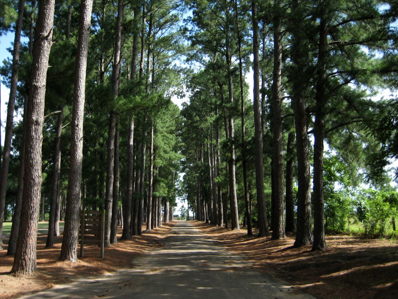
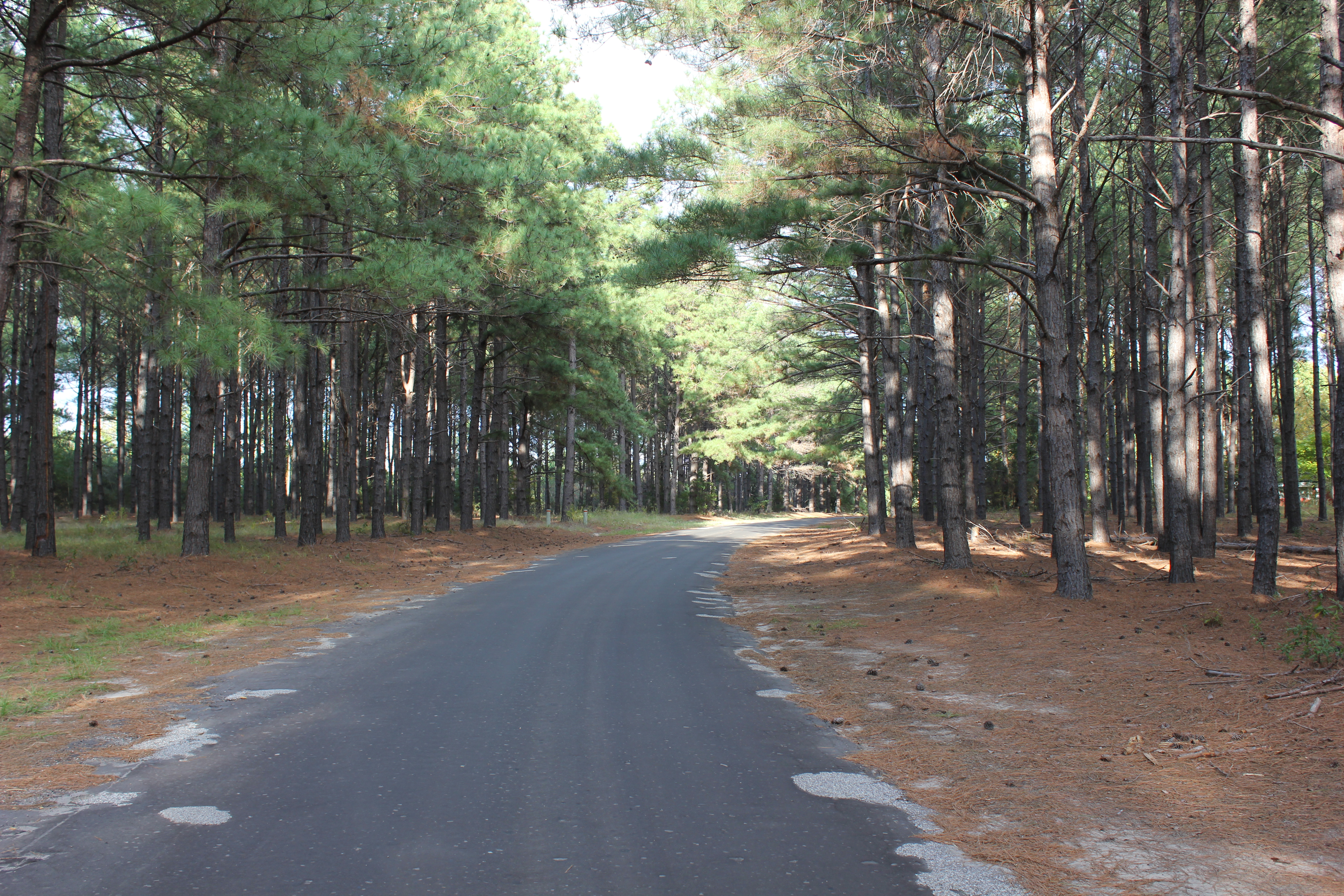
Tunnel of Trees
Topographic Map of TX-60 Loop, Larue, TX, USA
Find elevation by address:

Places near TX-60 Loop, Larue, TX, USA:
Larue
FM, Murchison, TX, USA
6175 Dorsey Crl
Henderson County
Athens, Tx
119 Waverly Way
Murchison
936 Bradley Dr
8617 Fm1616
County Rd, Palestine, TX, USA
S Prairieville St & Larue St
Athens
Girl Scouts Of Northeast Texas - Camp Bette Perot
2260 Acr 451
307 Brentwood Dr
Montalba
9775 Richardson Rd
9775 Richardson Rd
9775 Richardson Rd
9775 Richardson Rd
Recent Searches:
- Elevation of Corso Fratelli Cairoli, 35, Macerata MC, Italy
- Elevation of Tallevast Rd, Sarasota, FL, USA
- Elevation of 4th St E, Sonoma, CA, USA
- Elevation of Black Hollow Rd, Pennsdale, PA, USA
- Elevation of Oakland Ave, Williamsport, PA, USA
- Elevation of Pedrógão Grande, Portugal
- Elevation of Klee Dr, Martinsburg, WV, USA
- Elevation of Via Roma, Pieranica CR, Italy
- Elevation of Tavkvetili Mountain, Georgia
- Elevation of Hartfords Bluff Cir, Mt Pleasant, SC, USA