Elevation of TX-29, Menard, TX, USA
Location: United States > Texas >
Longitude: -99.532783
Latitude: 30.8690365
Elevation: 561m / 1841feet
Barometric Pressure: 95KPa
Elevation Map:
Satellite Map:
Related Photos:

Incoming call
P7030039.jpg

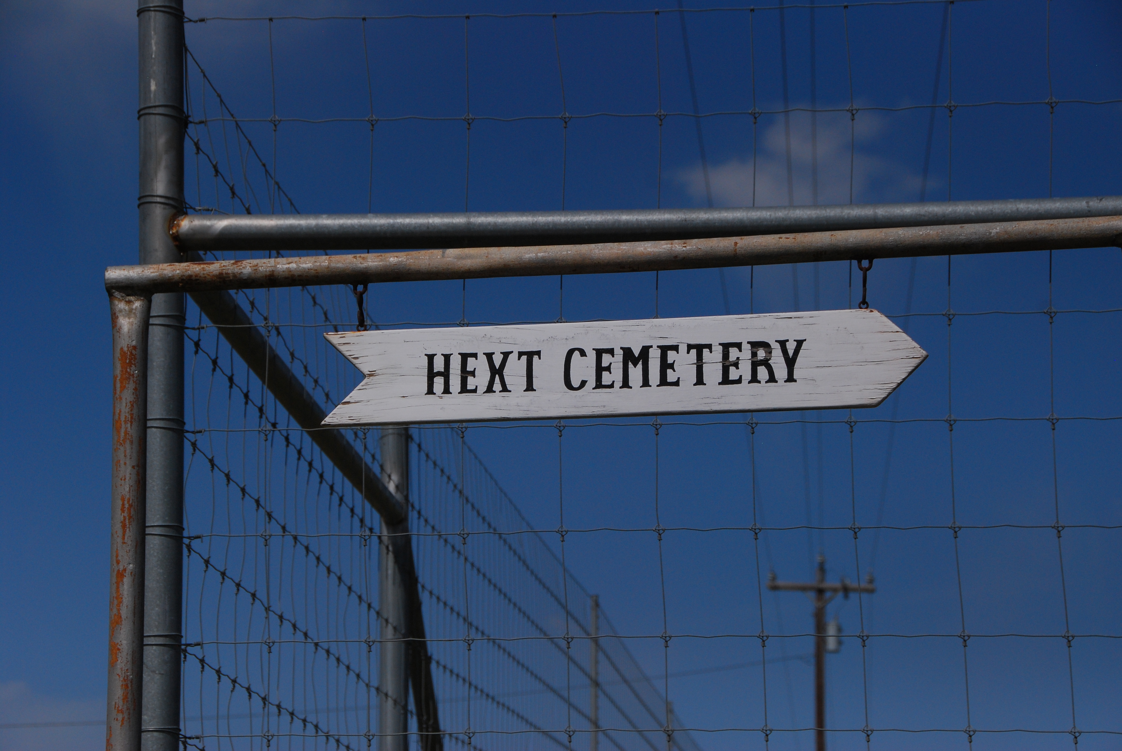
Hext Cemetery
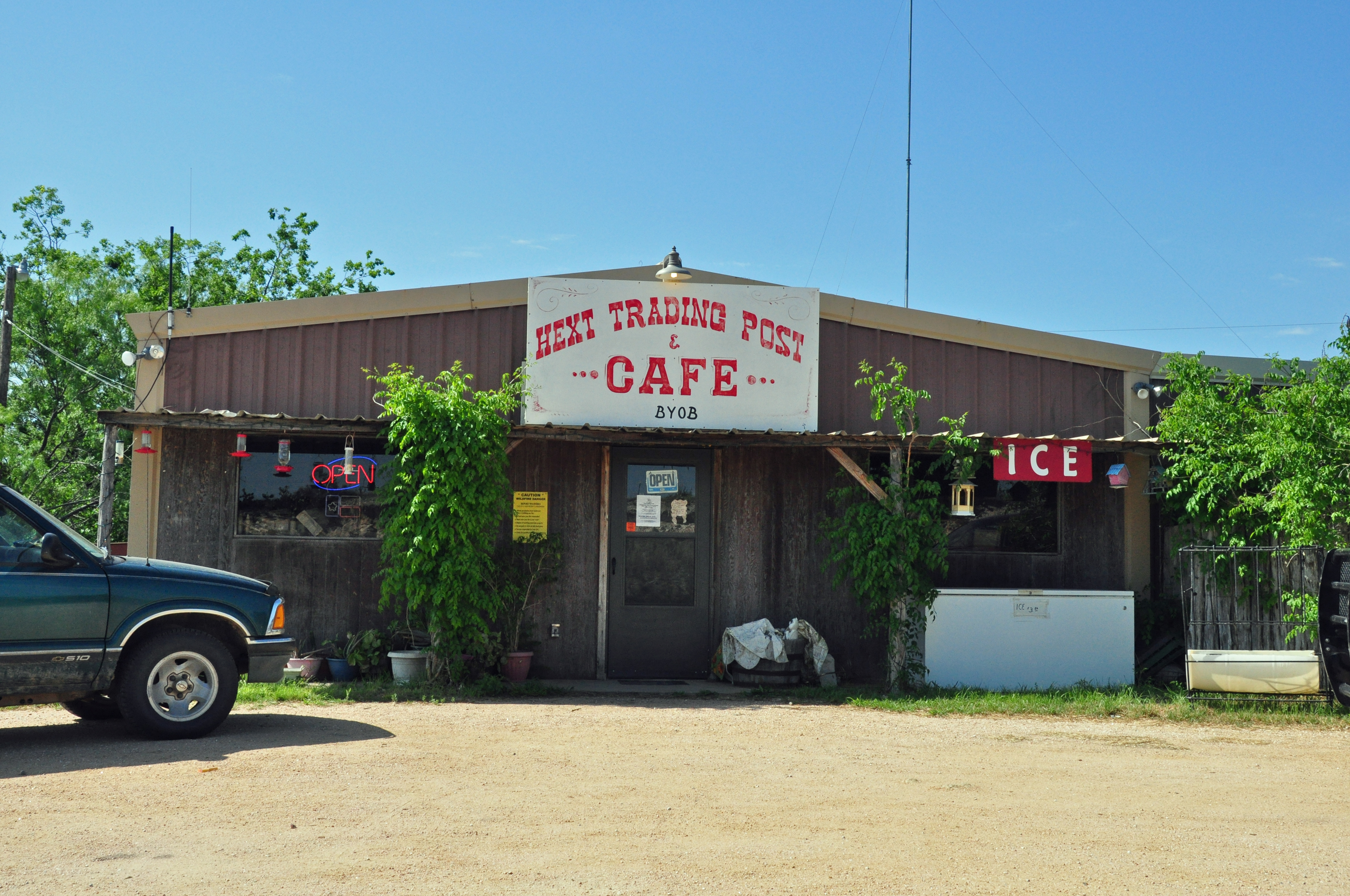
The only business in Hext
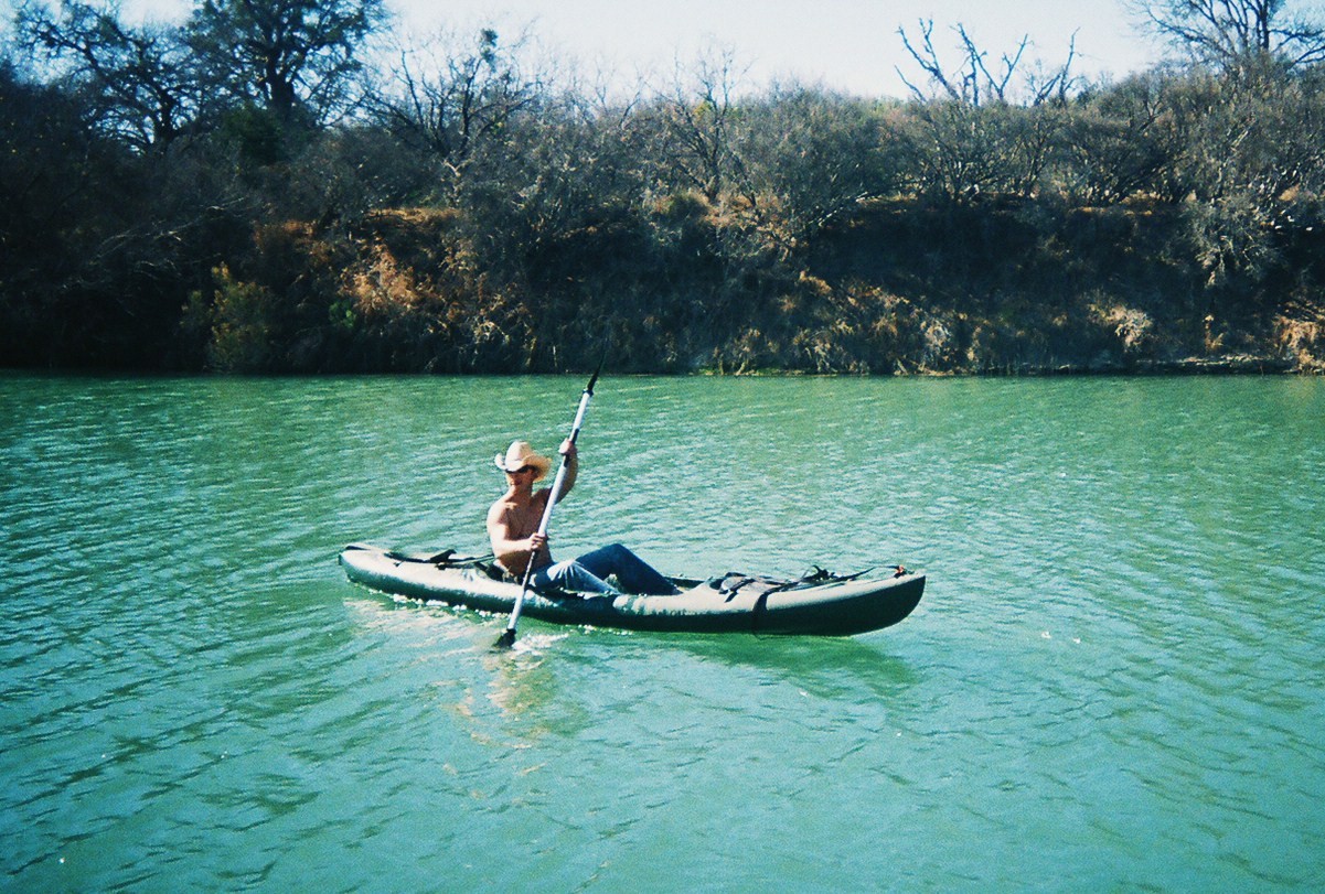
Diana's Photo

Calf Creek Texas Basketball
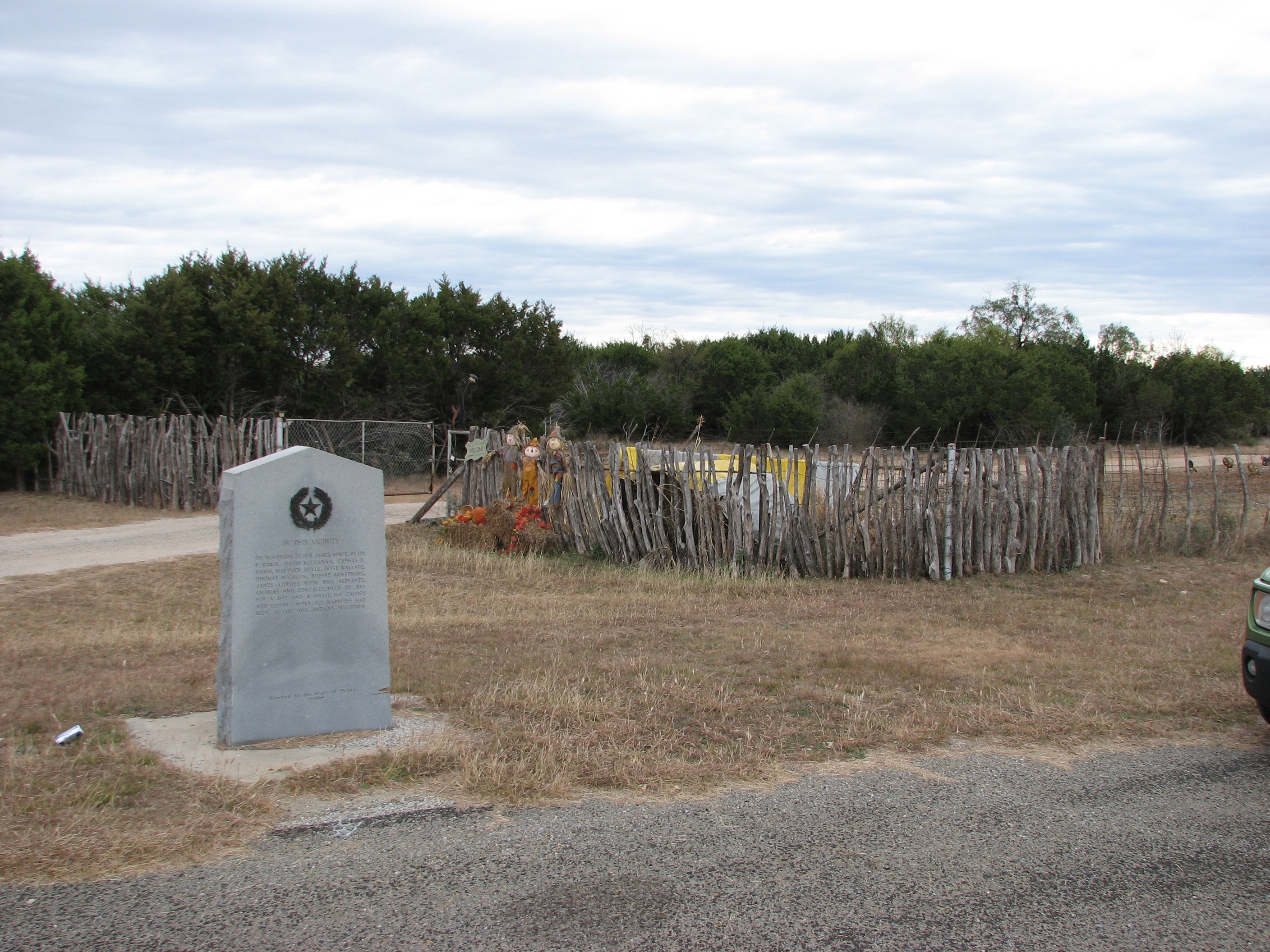
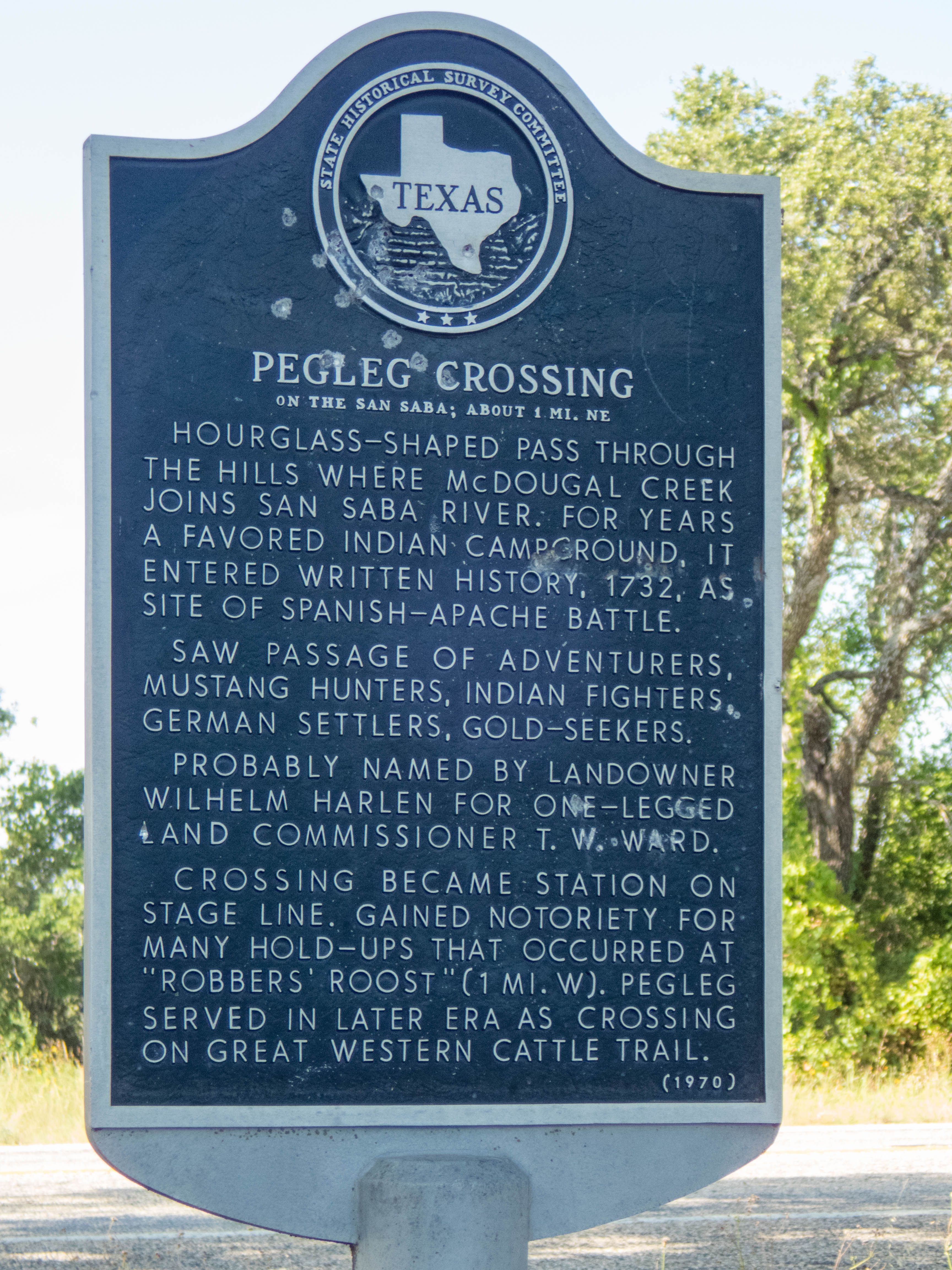
Site of Indian Battle
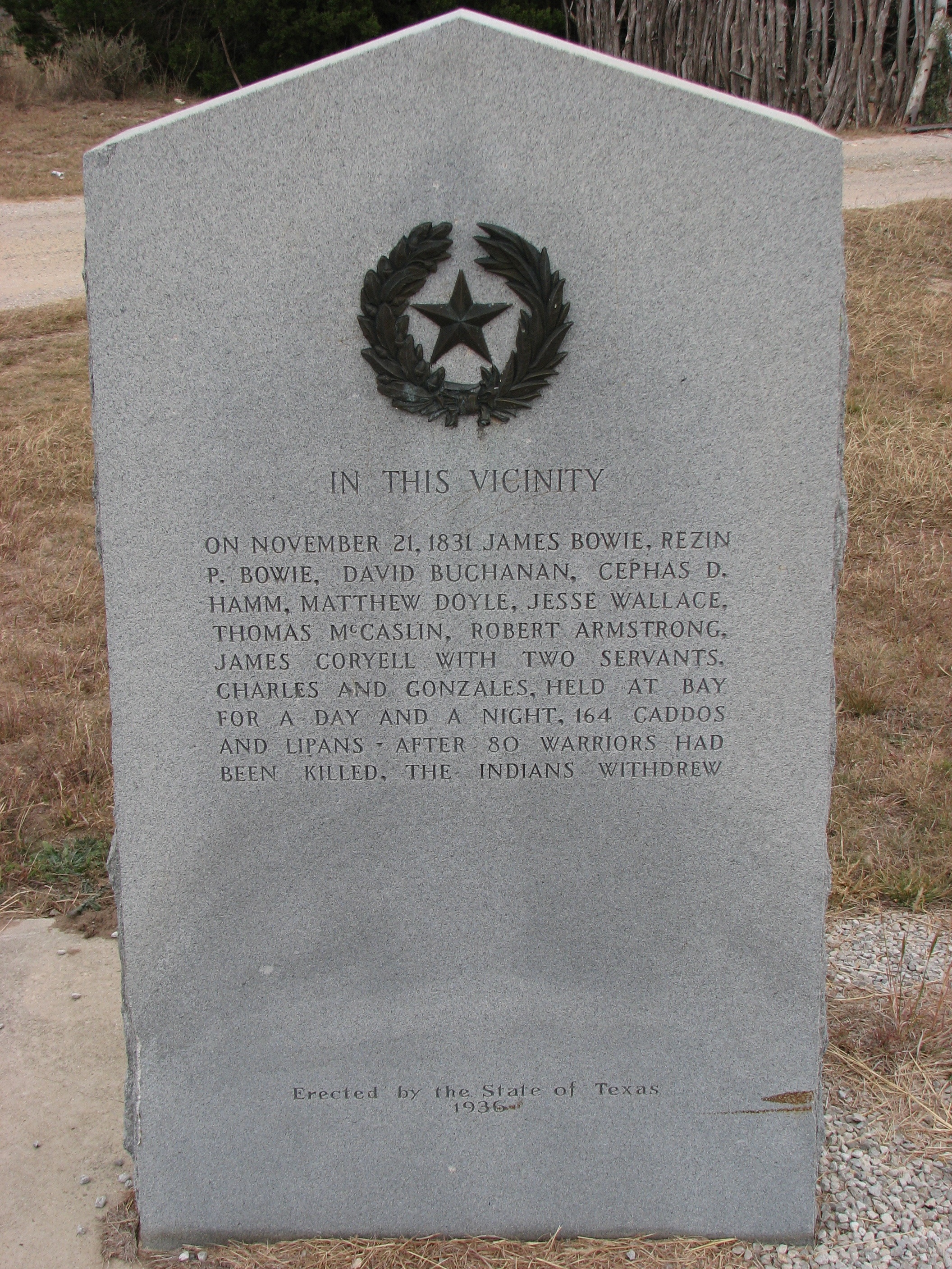
Site of Indian Battle
556543-R1-039-18_020

556543-R1-027-12_014

556543-R1-005-1_003
Topographic Map of TX-29, Menard, TX, USA
Find elevation by address:

Places near TX-29, Menard, TX, USA:
Hext
US-, London, TX, USA
London
TX-29, Mason, TX, USA
Menard
Koocksville Rd, Mason, TX, USA
Mason
Mason County
Ranch Rd, Mason, TX, USA
Simonsville Rd, Mason, TX, USA
Junction
Segovia
Lower Willow Creek Rd, Mason, TX, USA
Old Segovia Rd, Junction, TX, USA
Kimble County
141 Ranch Road
Doss
73 Kramer Rd
8427 Co Rd 104
Pvt Rd, Mountain Home, TX, USA
Recent Searches:
- Elevation of Dog Leg Dr, Minden, NV, USA
- Elevation of Dog Leg Dr, Minden, NV, USA
- Elevation of Kambingan Sa Pansol Atbp., Purok 7 Pansol, Candaba, Pampanga, Philippines
- Elevation of Pinewood Dr, New Bern, NC, USA
- Elevation of Mountain View, CA, USA
- Elevation of Foligno, Province of Perugia, Italy
- Elevation of Blauwestad, Netherlands
- Elevation of Bella Terra Blvd, Estero, FL, USA
- Elevation of Estates Loop, Priest River, ID, USA
- Elevation of Woodland Oak Pl, Thousand Oaks, CA, USA