Elevation of Twin Rock Rd, Remsen, NY, USA
Location: United States > New York > Oneida County > Remsen > Remsen >
Longitude: -75.093492
Latitude: 43.341025
Elevation: 384m / 1260feet
Barometric Pressure: 97KPa
Elevation Map:
Satellite Map:
Related Photos:
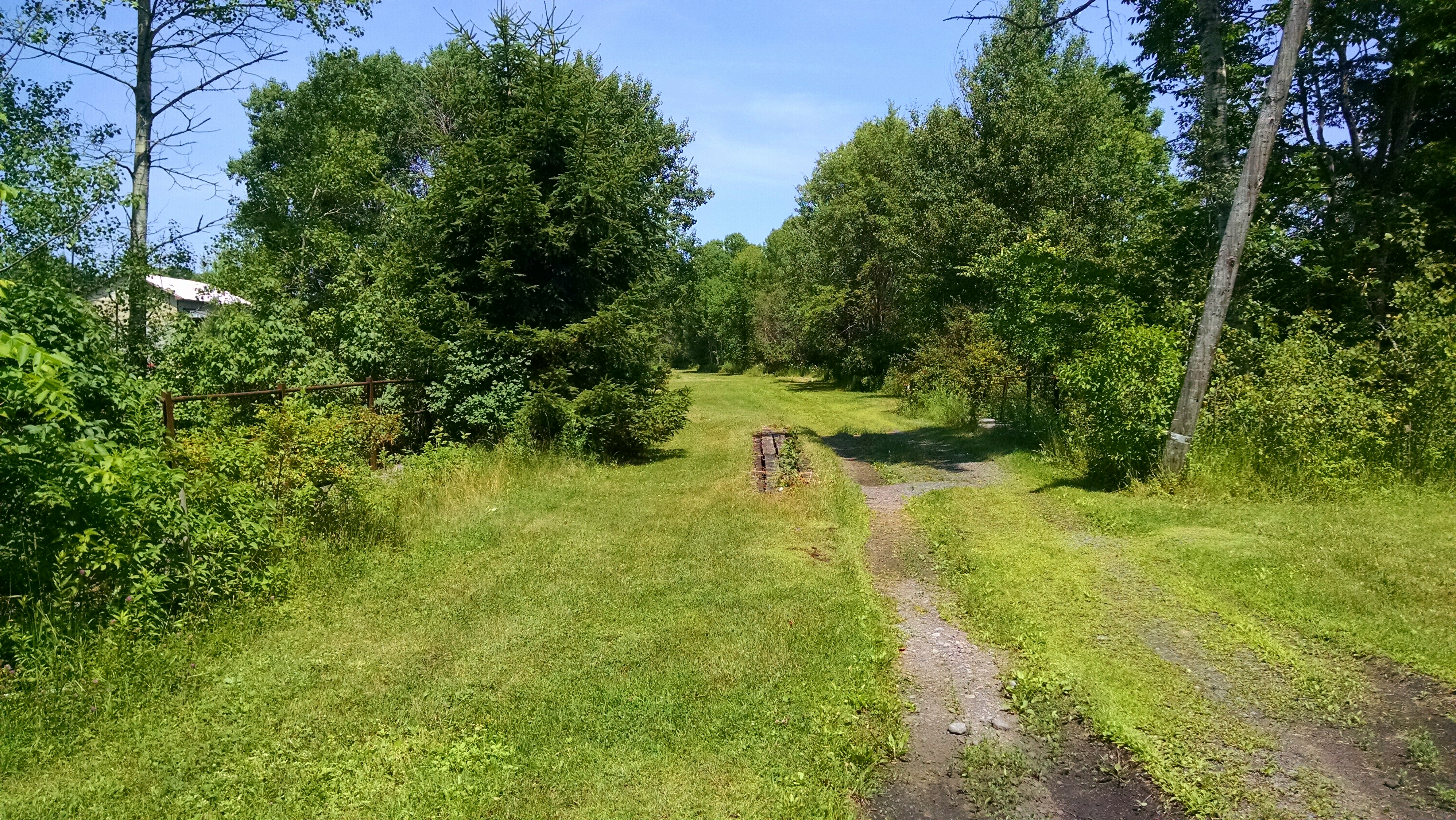
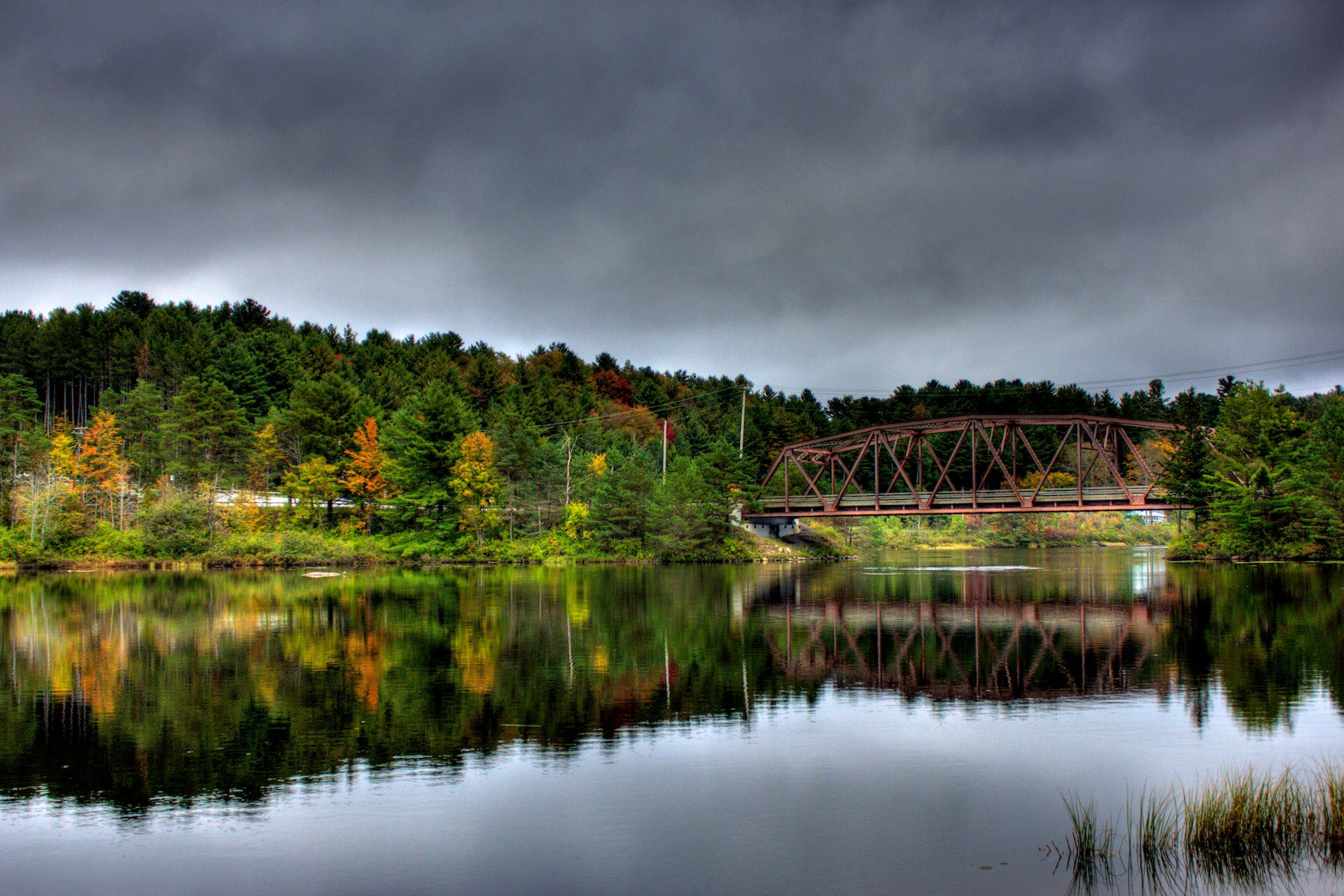
Abandoned RR Bridge on old Adirondack Divison, Remsen, NY
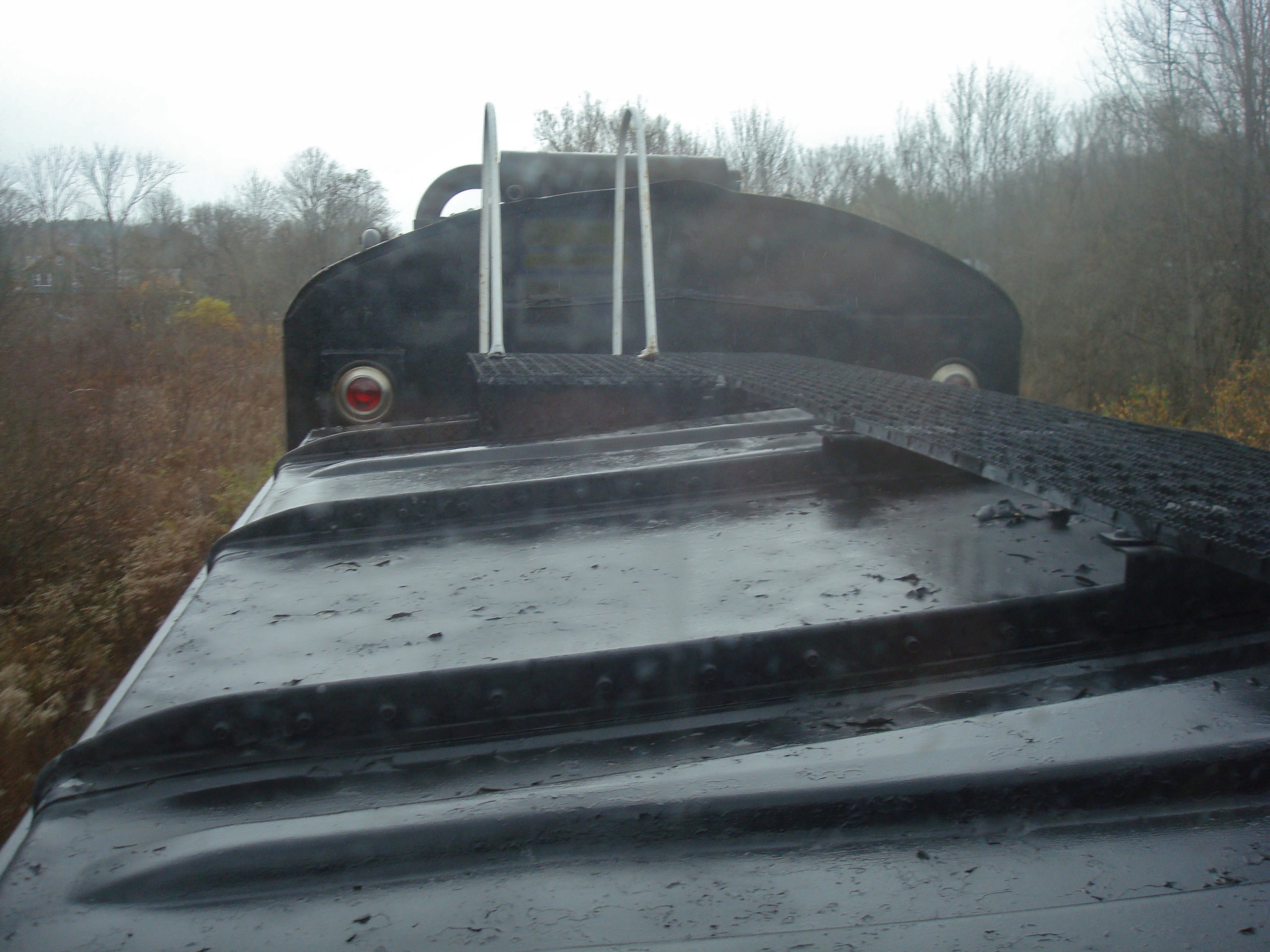
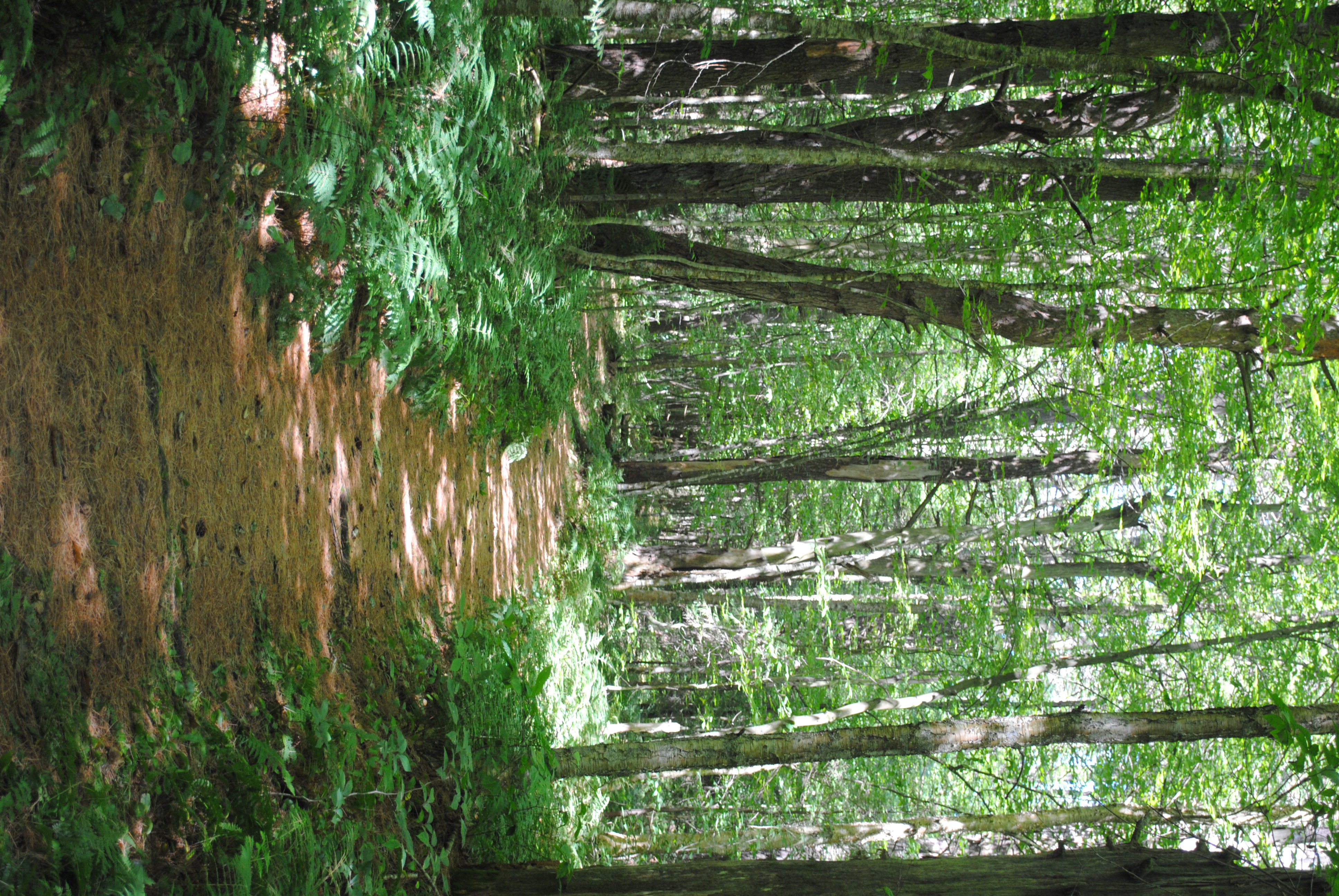
View From the Top

Fine View

Beauty IS the beast.
_MG_7271-01c
Fog by the banks of the West Canada Creek
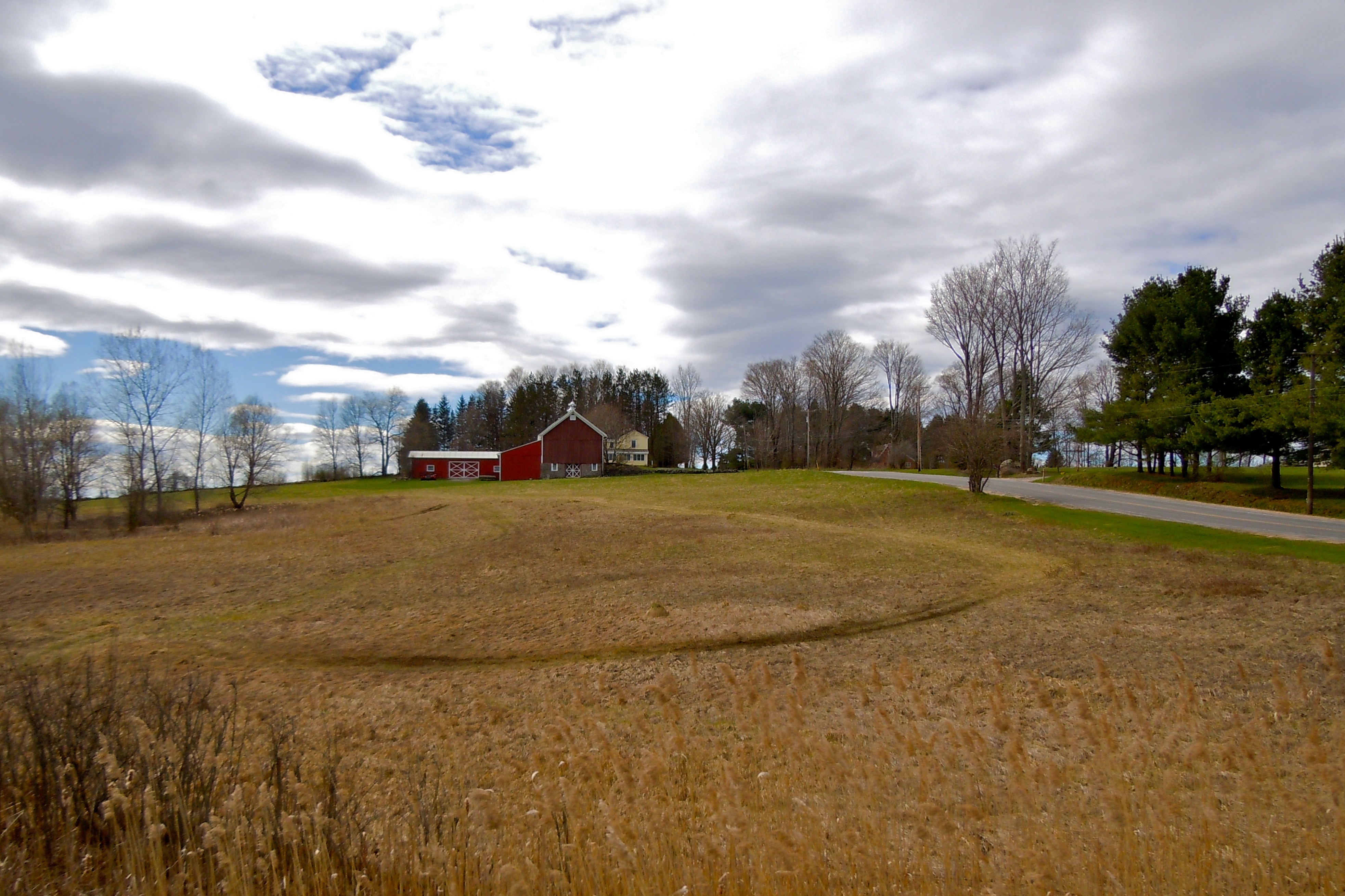
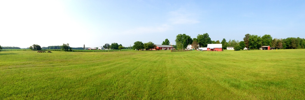
Mapledale Road Farm

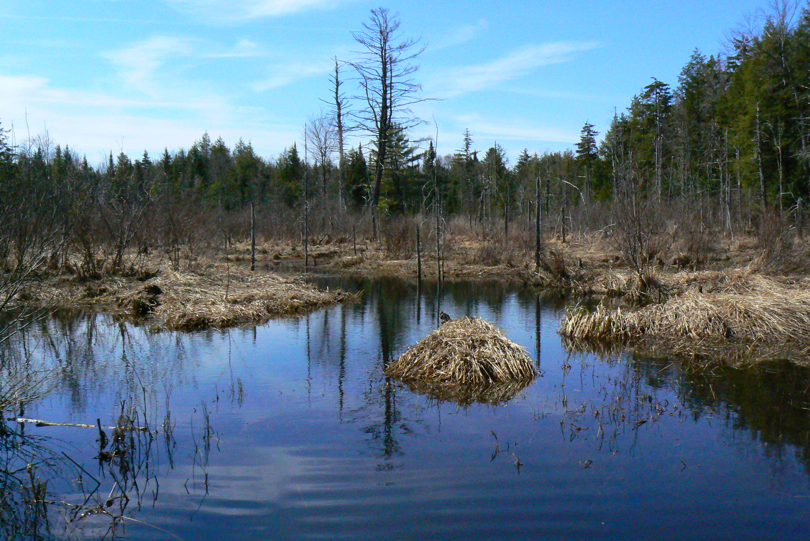
Little Black Creek

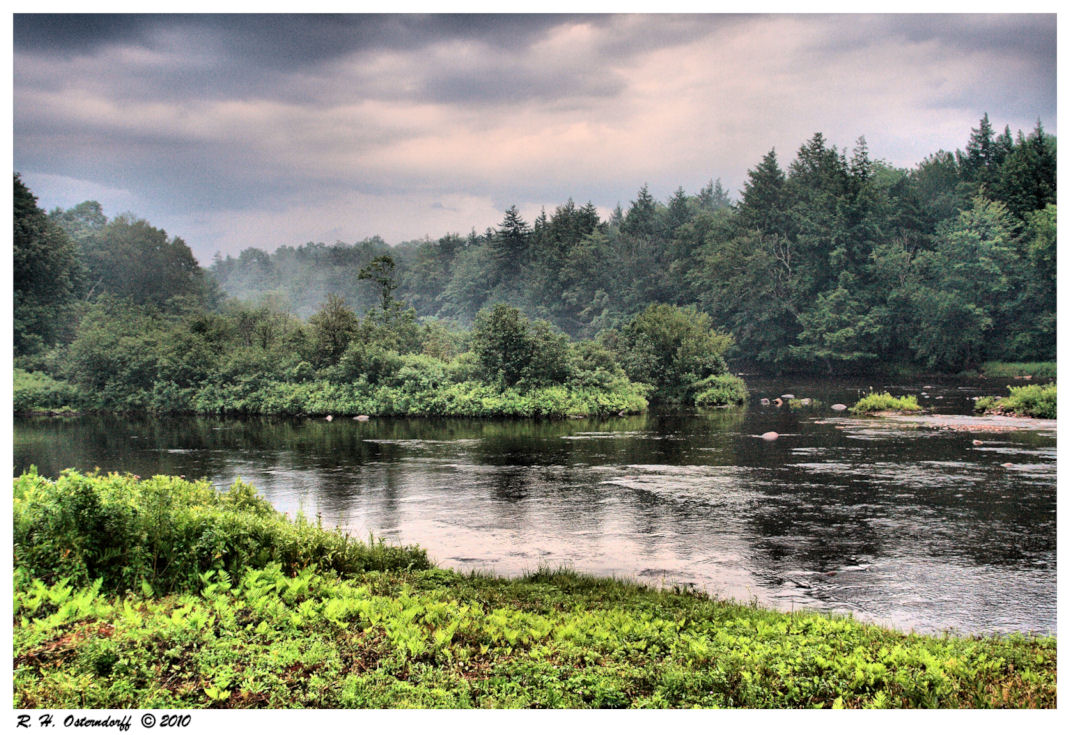
The West Canada

November Sun

Other Barn
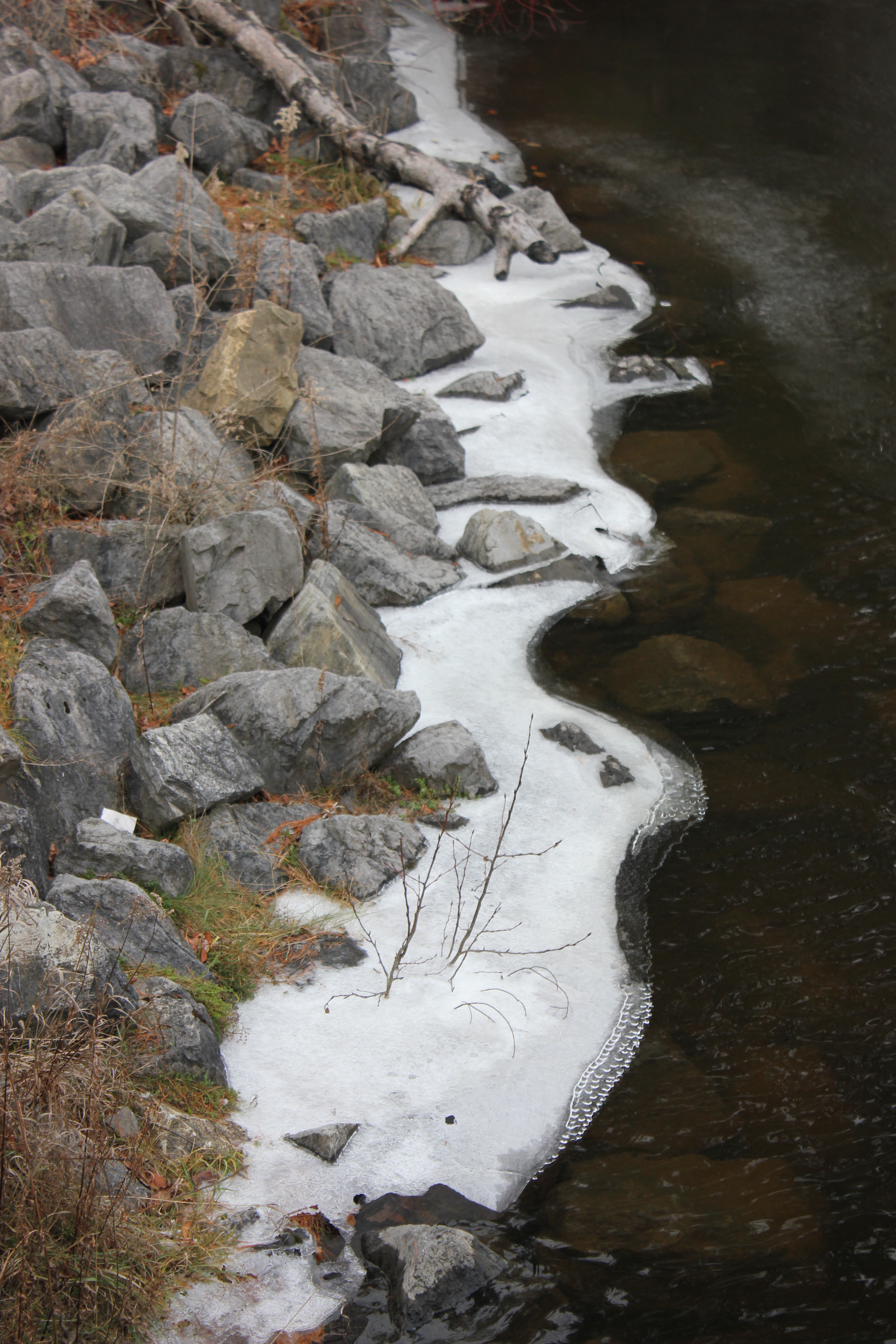
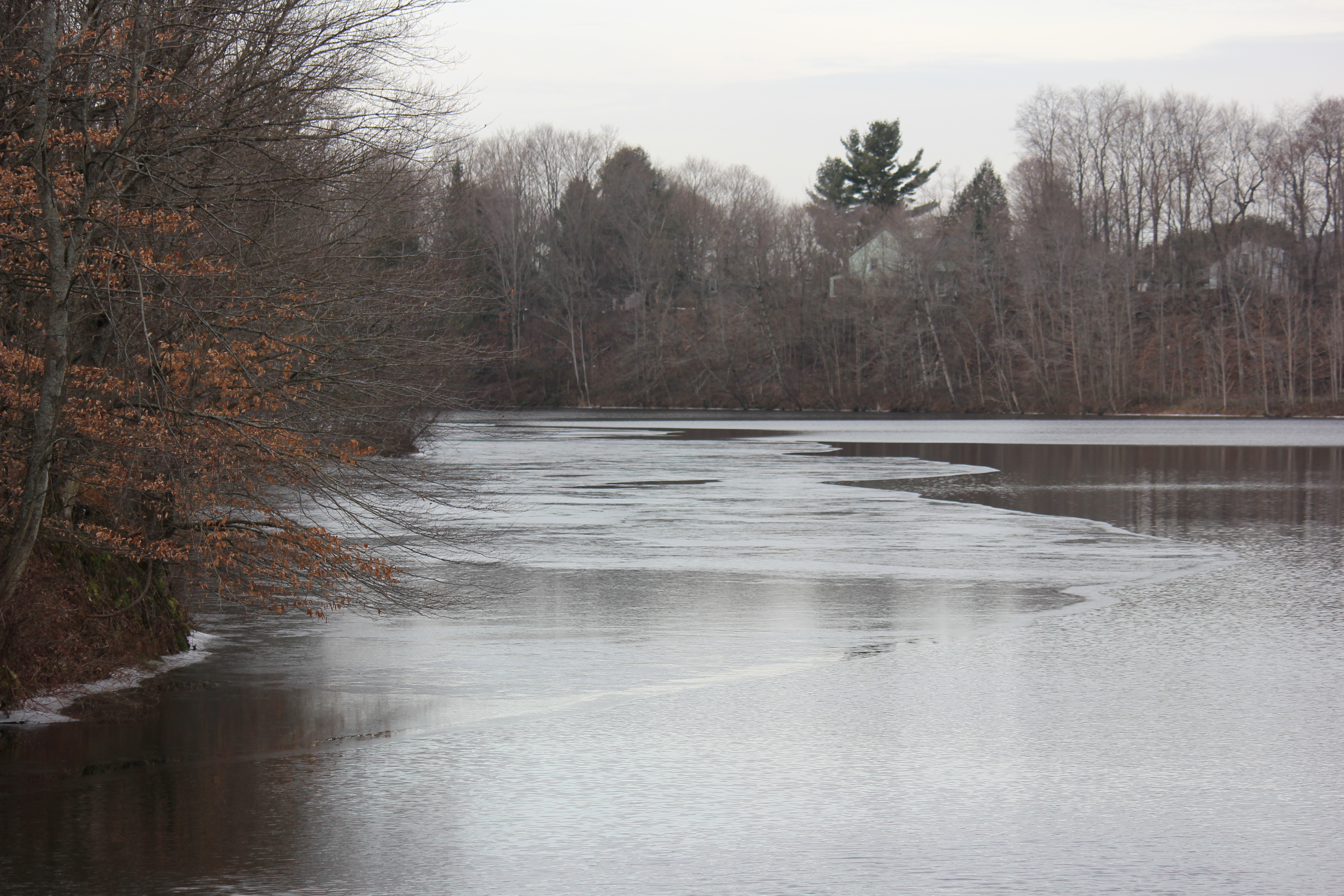
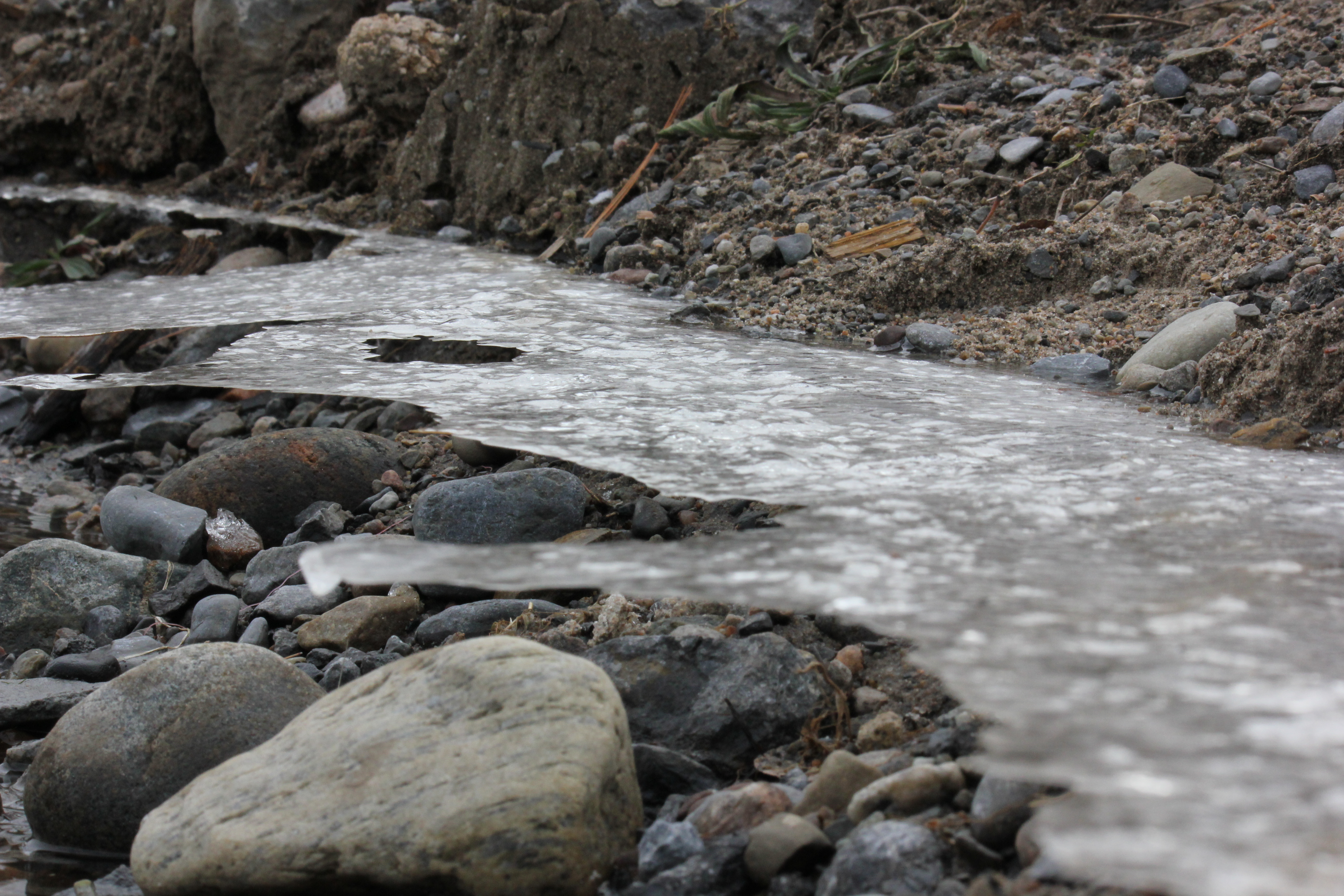
Ice at the edge of Hinckley Reservoir
Trip to NY 2009 158
Hinckley Reservoir

Adirondack Kickback
Trail at Lake Julia Site
Hinckley Reservoir

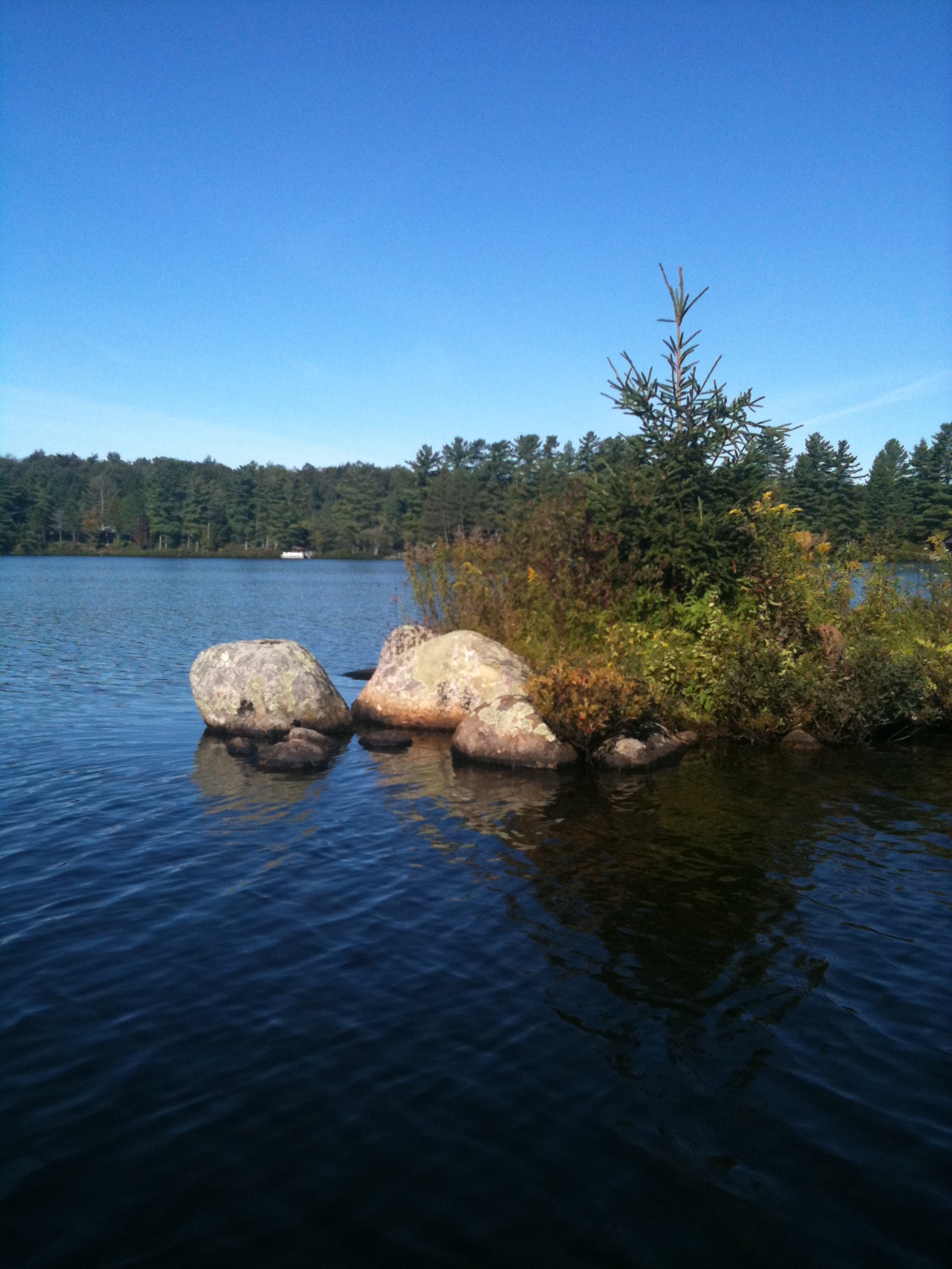
One of many lakes.
Forestport in the Fall
Otter Lake 2010

Posing as Bamboo?
Hinckley Reservoir
Adirondack Gateway Campground
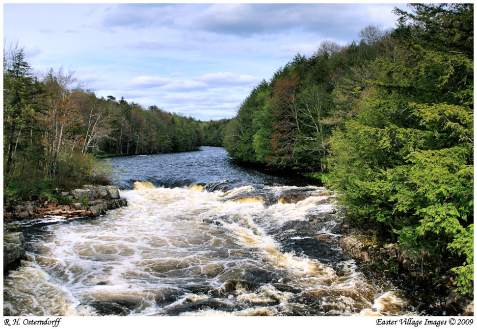
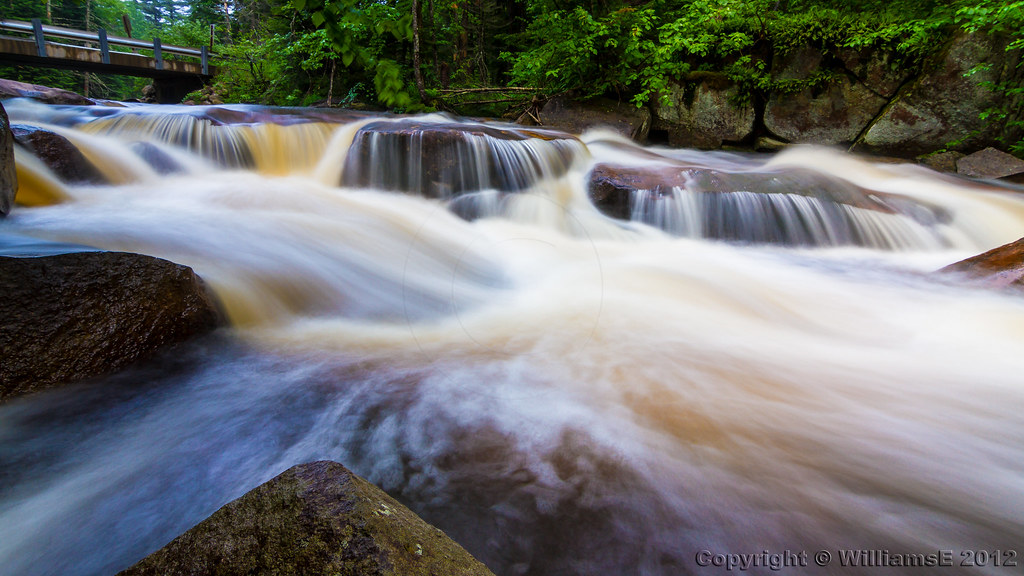
High Falls on the West Canada Creek

Forestport Reservior Dam
Topographic Map of Twin Rock Rd, Remsen, NY, USA
Find elevation by address:

Places near Twin Rock Rd, Remsen, NY, USA:
11866 Fairchild Rd
Hughes Road
Hughes Road
158 Wheelertown Rd
Remsen
9998 Welsh District Rd
Russia
Summit Street
Hughes Rd, Forestport, NY, USA
11335 Roberts Rd
981 Wheelertown Rd
Prospect
352 Barnhart Rd
Co Rd 77, Cold Brook, NY, USA
Russia
9144 Rosemarie Rd
Russia Rd, Poland, NY, USA
Remsen
9621 Main St
Trenton Falls Prospect Rd, Remsen, NY, USA
Recent Searches:
- Elevation of Corso Fratelli Cairoli, 35, Macerata MC, Italy
- Elevation of Tallevast Rd, Sarasota, FL, USA
- Elevation of 4th St E, Sonoma, CA, USA
- Elevation of Black Hollow Rd, Pennsdale, PA, USA
- Elevation of Oakland Ave, Williamsport, PA, USA
- Elevation of Pedrógão Grande, Portugal
- Elevation of Klee Dr, Martinsburg, WV, USA
- Elevation of Via Roma, Pieranica CR, Italy
- Elevation of Tavkvetili Mountain, Georgia
- Elevation of Hartfords Bluff Cir, Mt Pleasant, SC, USA