Elevation of Twilight, WV, USA
Location: United States > West Virginia > Boone County > >
Longitude: -81.623446
Latitude: 37.927329
Elevation: 324m / 1063feet
Barometric Pressure: 97KPa
Elevation Map:
Satellite Map:
Related Photos:
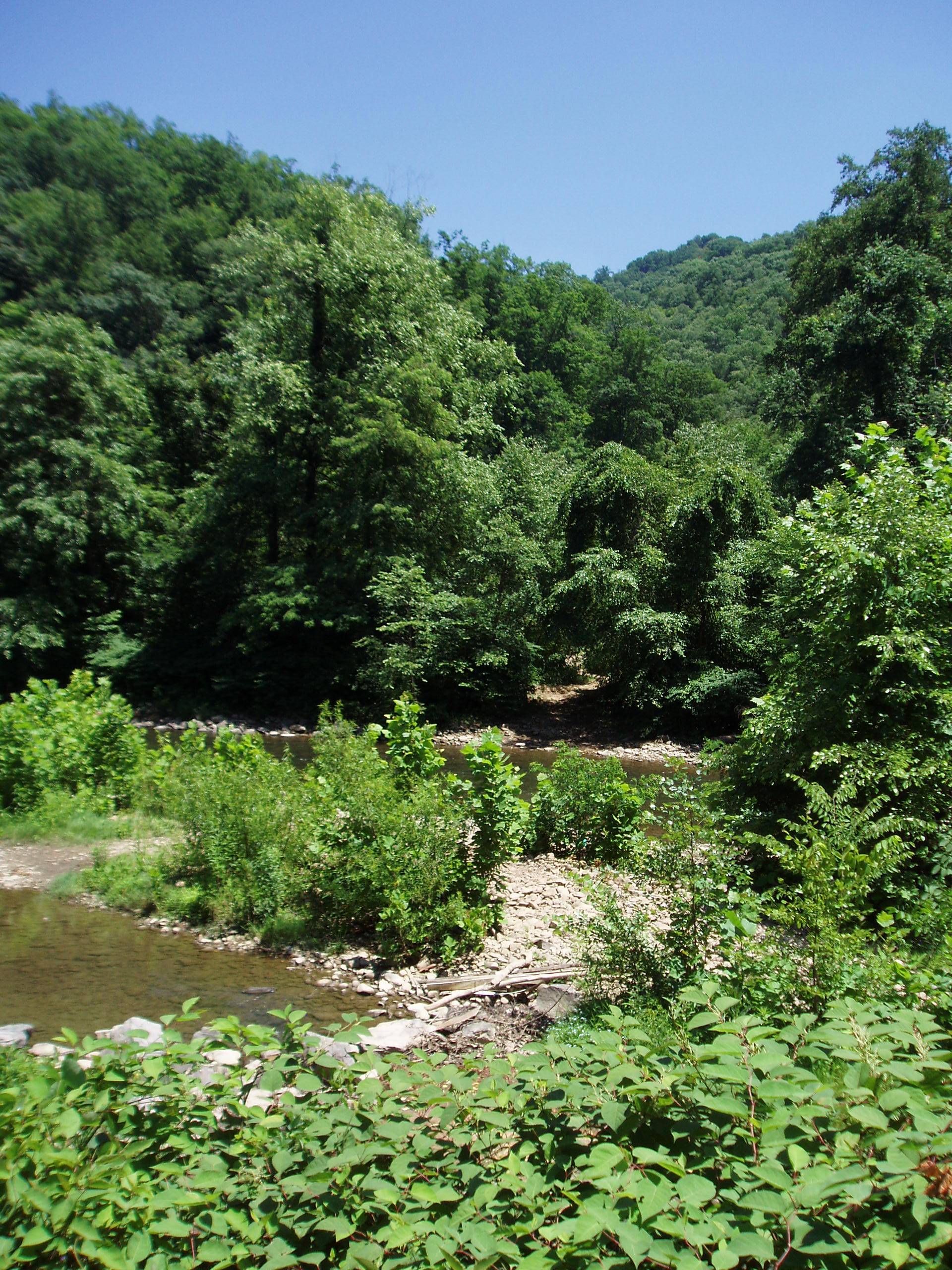
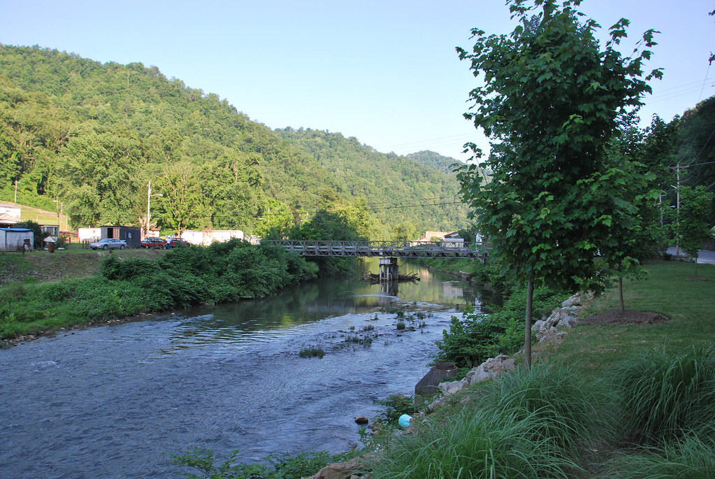
Near Whitesville WV: Near the headwaters of the Coal River
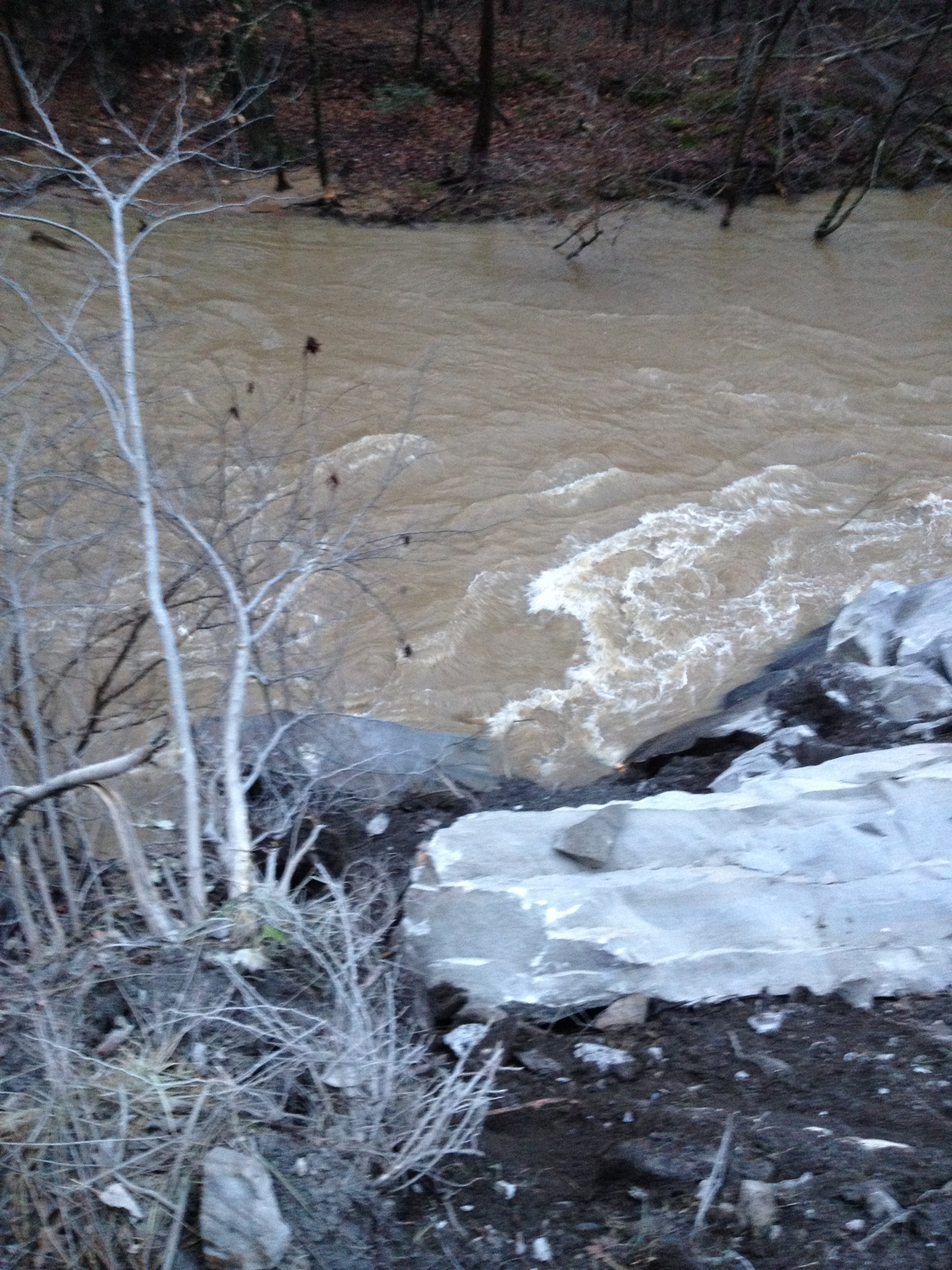
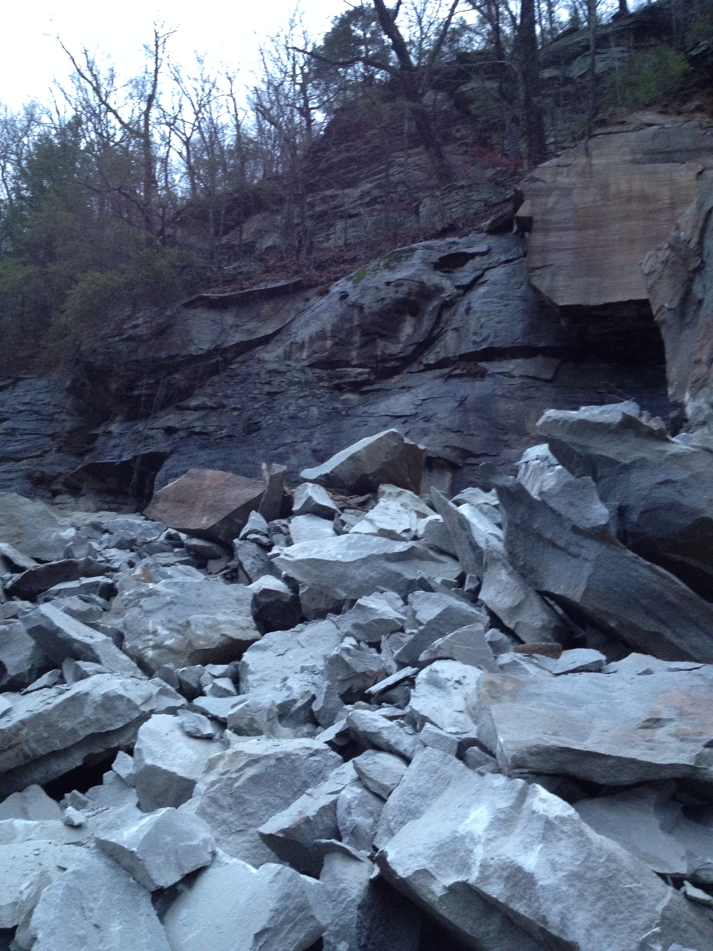
WV 3 Rockslide
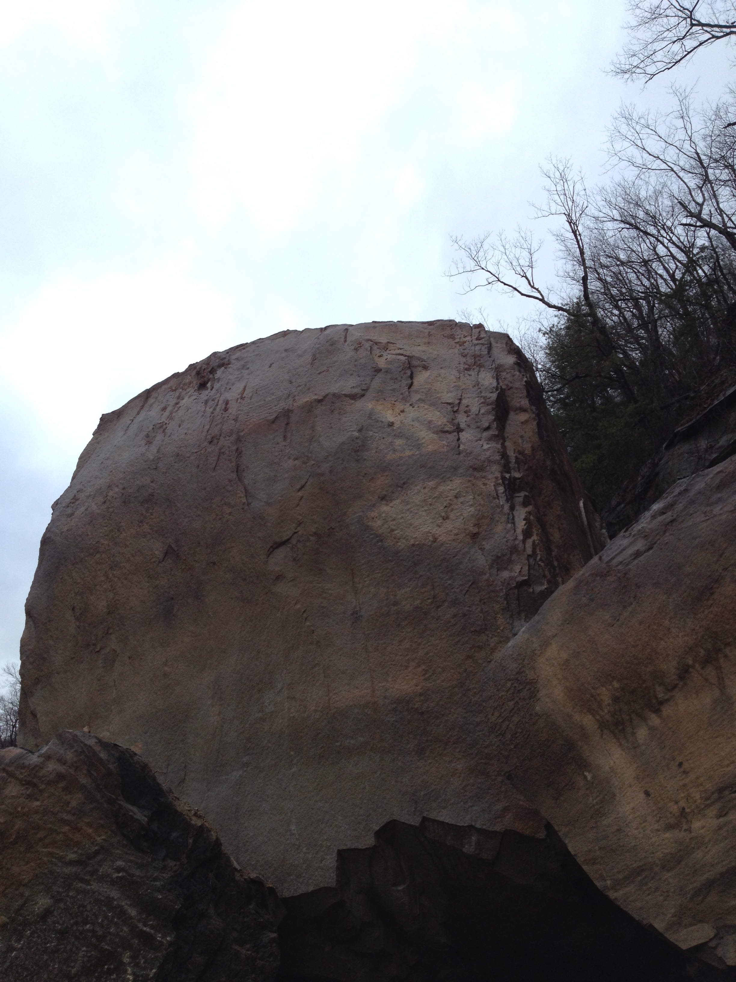
WV 3 Rockslide
Marsh Fork High School Image 11 2-24-2007 Photo

Day 6: I might as well become a plant photographer.
WV 3 Rockslide
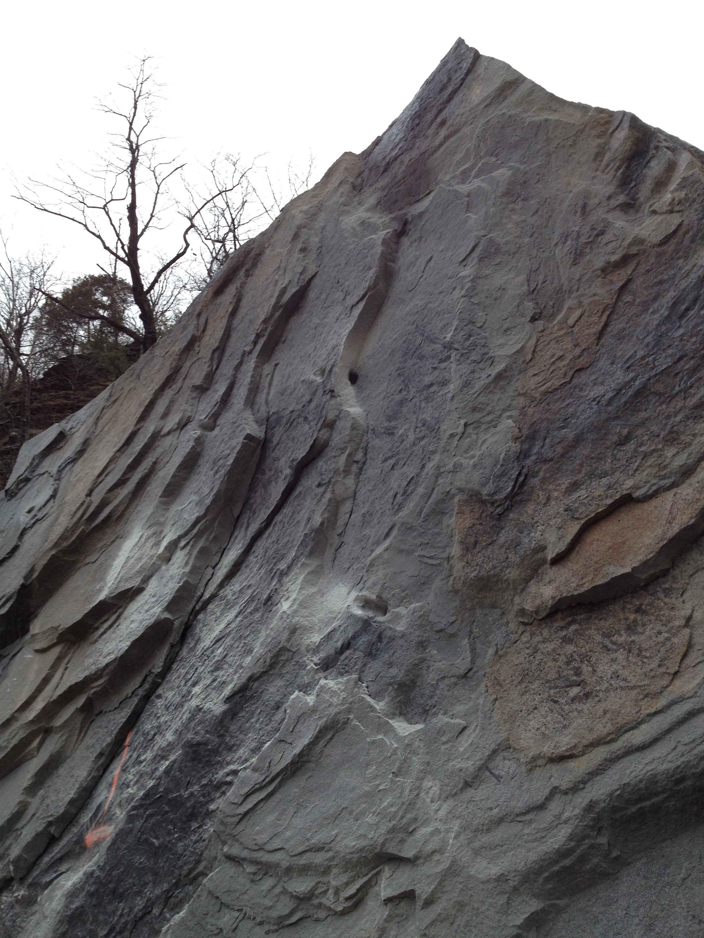
WV 3 Rockslide
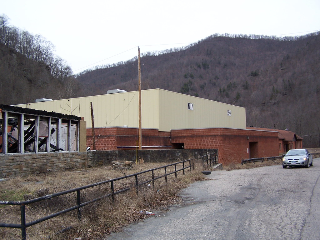
Upper Big Branch Miners Memorial
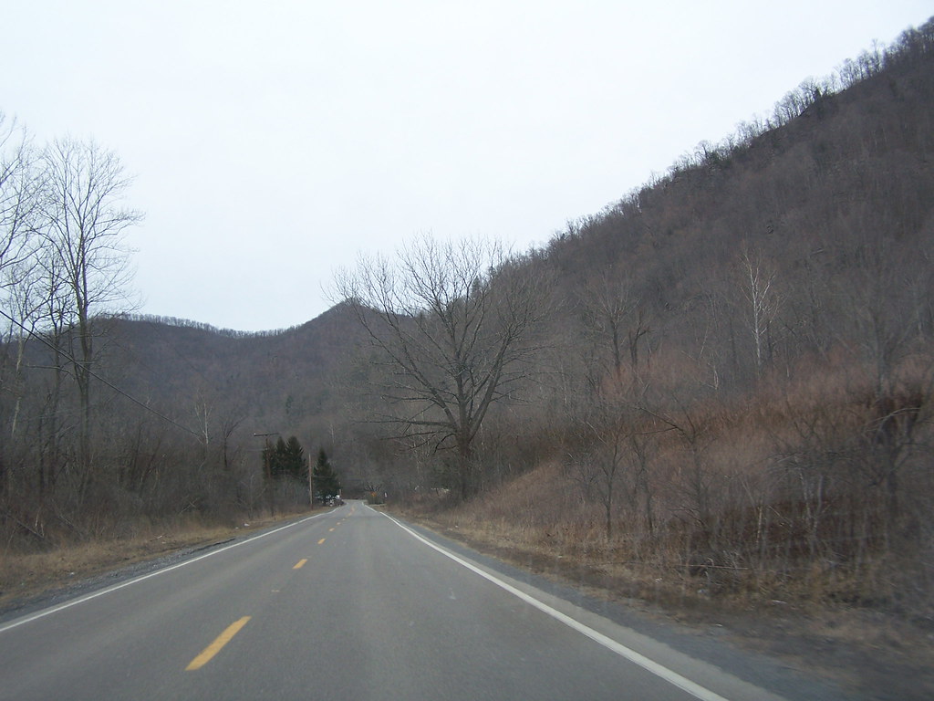
WV 3 Near Marfork Image 2 2-24-2007 Photo

Upper Big Branch Miners Memorial
Topographic Map of Twilight, WV, USA
Find elevation by address:

Places in Twilight, WV, USA:
Places near Twilight, WV, USA:
Craig Rd, Twilight, WV, USA
Bald Knob
Wharton
Webb Cemetery Rd, Bim, WV, USA
Bim
Trought Fork Rd, Wharton, WV, USA
Lorado
Eastern
Eastern
Eastern
Eastern
Eastern
Eastern
Eastern
Eastern
Eastern
Eastern
Eastern
Eastern
Eastern
Recent Searches:
- Elevation of 6 Rue Jules Ferry, Beausoleil, France
- Elevation of Sattva Horizon, 4JC6+G9P, Vinayak Nagar, Kattigenahalli, Bengaluru, Karnataka, India
- Elevation of Great Brook Sports, Gold Star Hwy, Groton, CT, USA
- Elevation of 10 Mountain Laurels Dr, Nashua, NH, USA
- Elevation of 16 Gilboa Ln, Nashua, NH, USA
- Elevation of Laurel Rd, Townsend, TN, USA
- Elevation of 3 Nestling Wood Dr, Long Valley, NJ, USA
- Elevation of Ilungu, Tanzania
- Elevation of Yellow Springs Road, Yellow Springs Rd, Chester Springs, PA, USA
- Elevation of Rēzekne Municipality, Latvia