Elevation of Turner Hill Rd, Waterbury, VT, USA
Location: United States > Vermont > Washington County > Duxbury >
Longitude: -72.789598
Latitude: 44.2608754
Elevation: 301m / 988feet
Barometric Pressure: 98KPa
Elevation Map:
Satellite Map:
Related Photos:

The view....
Mt Ellen

Ap Gap

#fall epic view

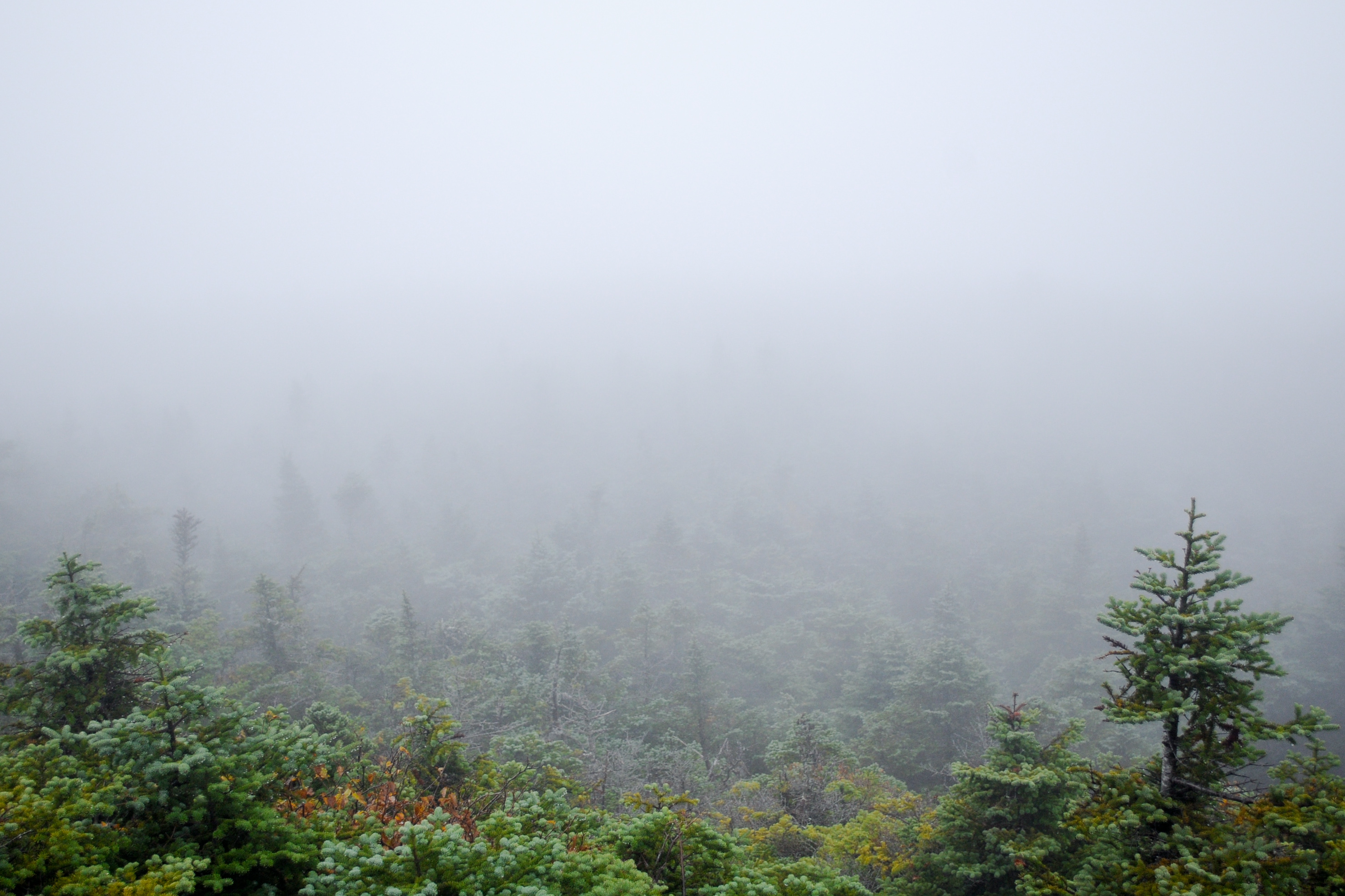
rear view clouds

A View From Above
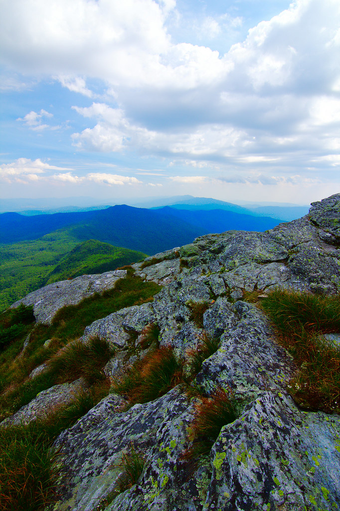
view from burnt rock

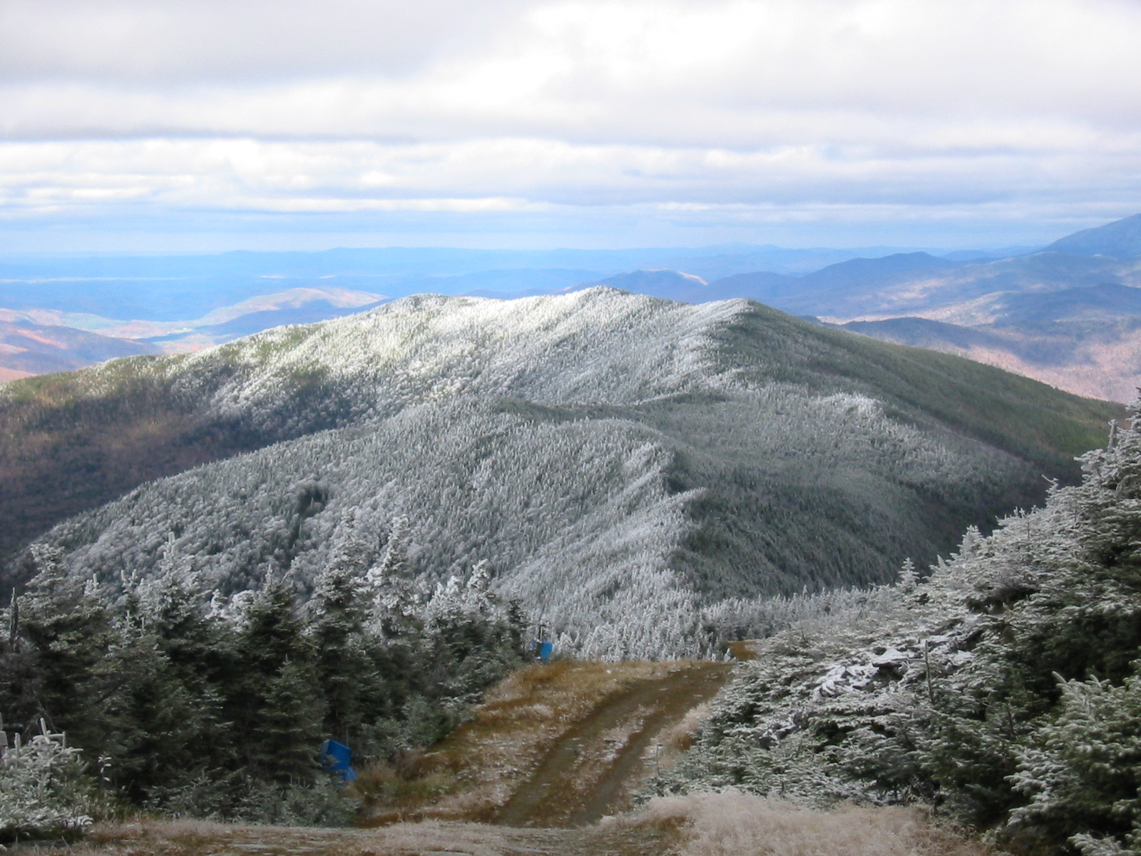
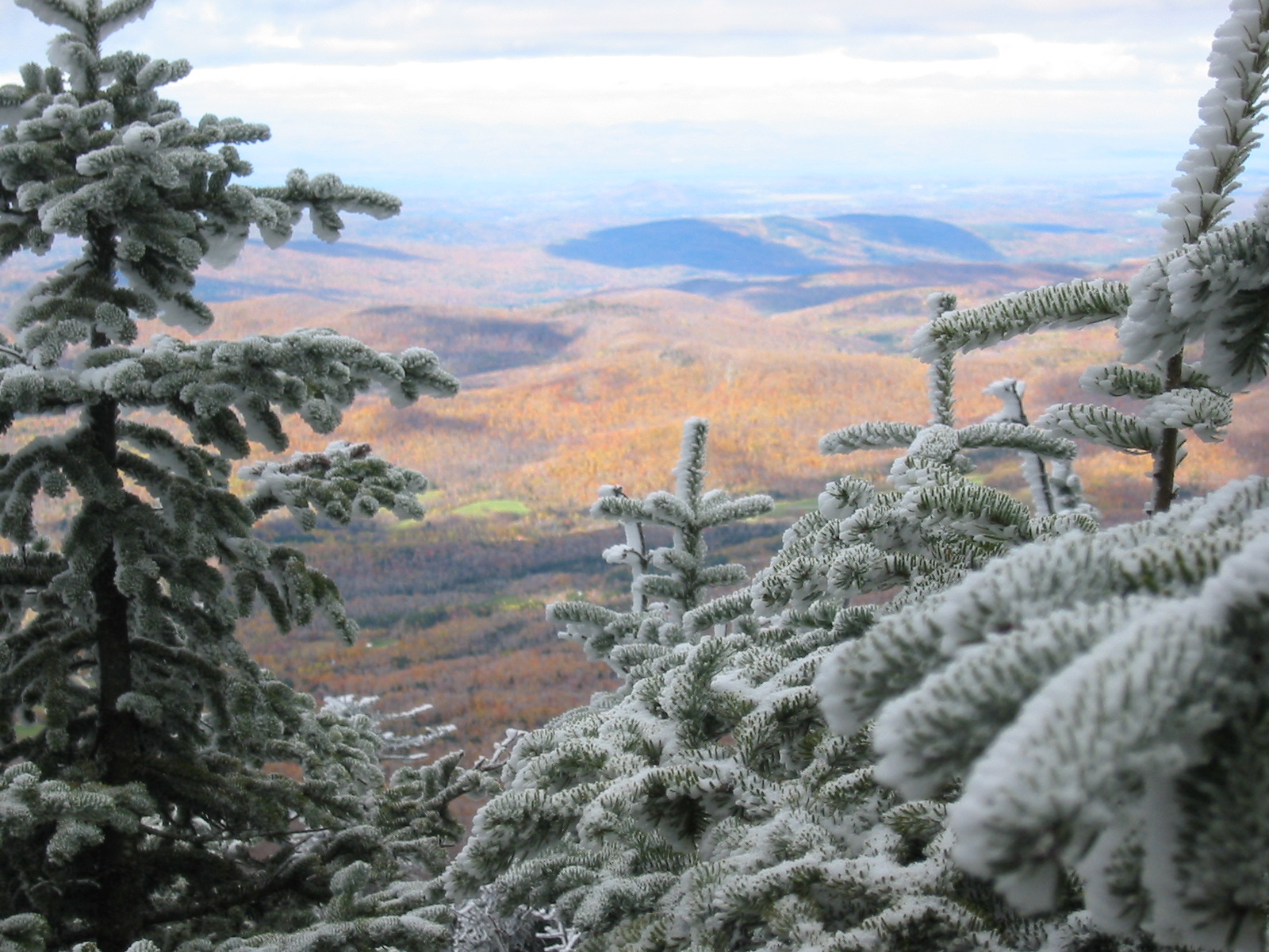
A view from near the summit...

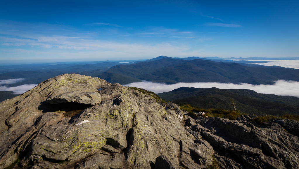
Camel's Hump

From Hump to Mount Mansfield
Camel's Hump
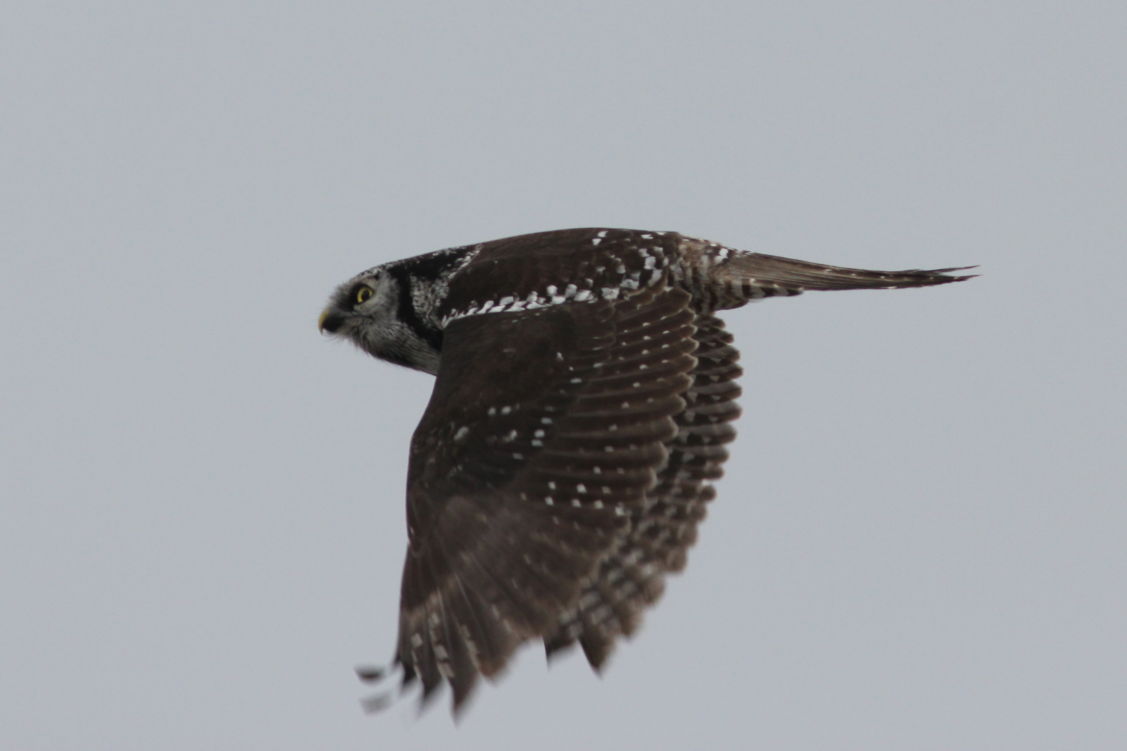
Northern Hawk Owl, Waterbury Center, VT 12/21/13
as far as the eye can see
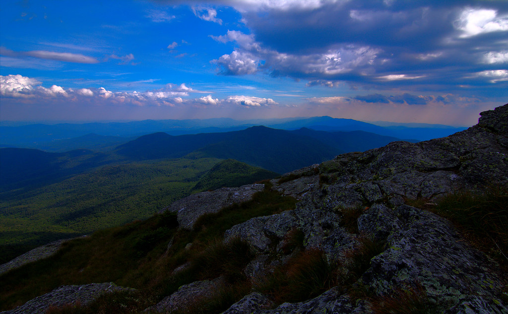
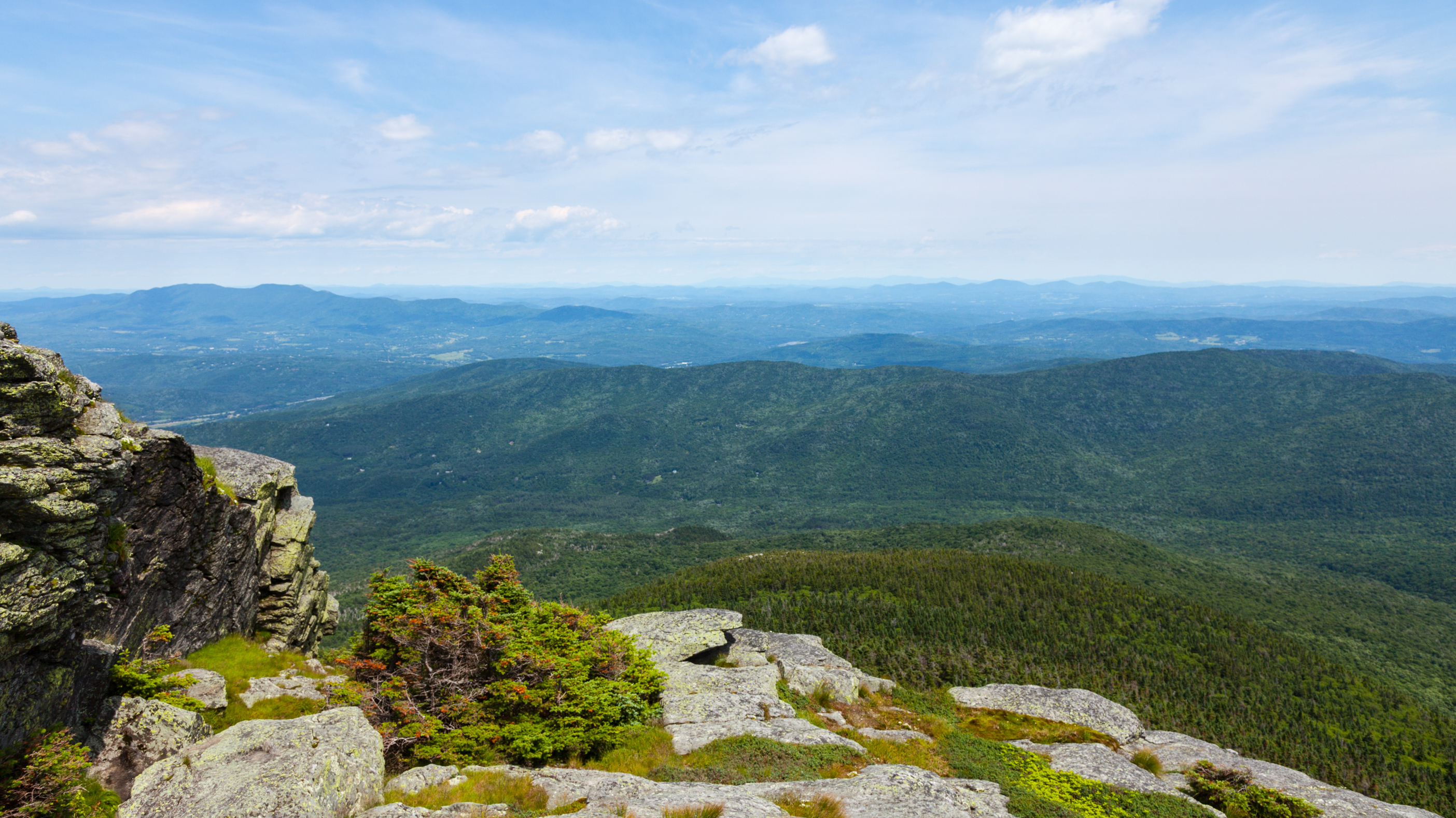
View from the Summit
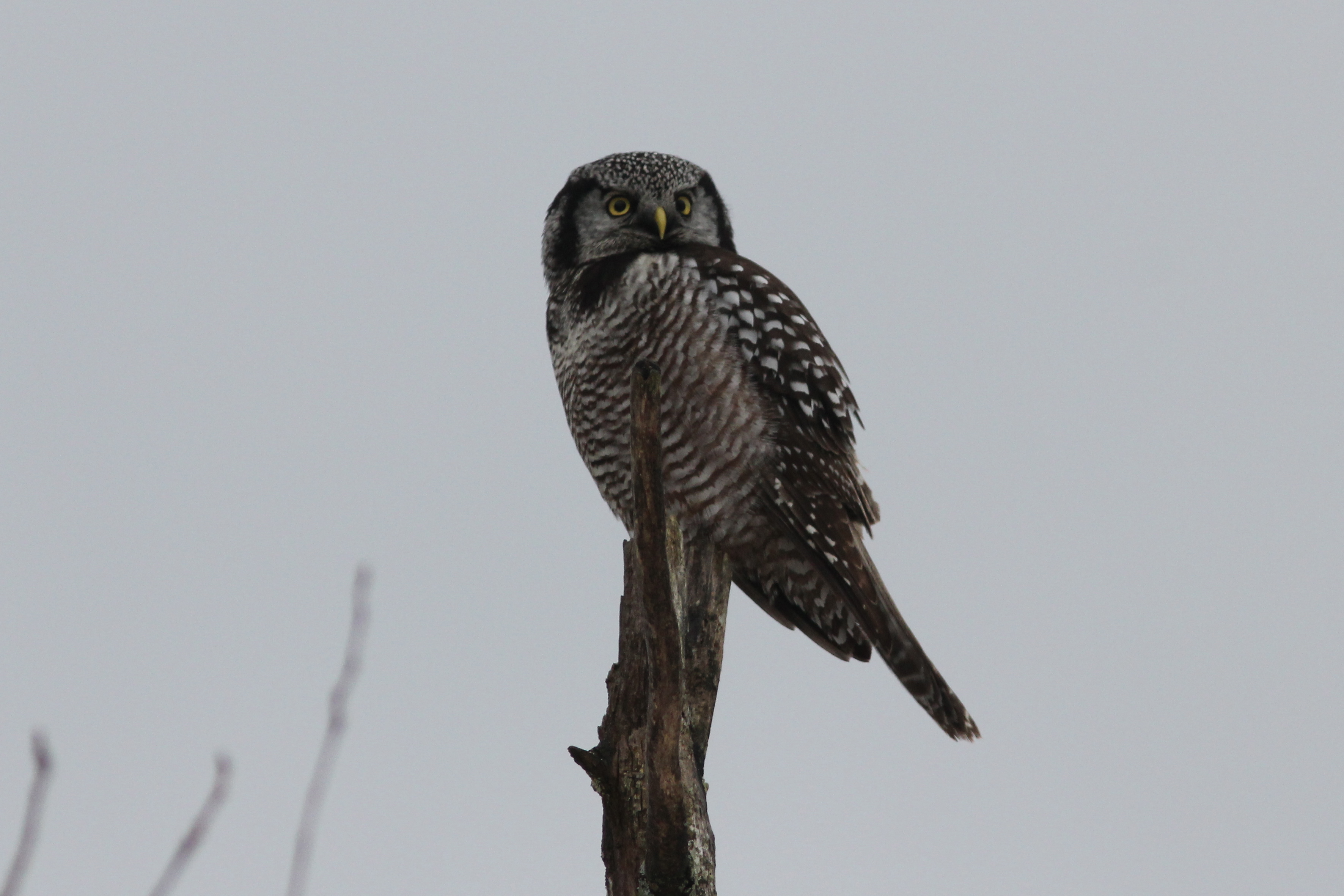
Northern Hawk Owl, Waterbury Center, VT 12/21/13

This is my favorite view of Camel’s Hump. Found it by taking not the Long Trail. There was a small path that went straight up a hill. Rugged and steep, I made the quick ascent and came upon a bench that remained there in memory of someone who had passed.
The View From Camel's Hump Sept 07 01
Champlain Valley
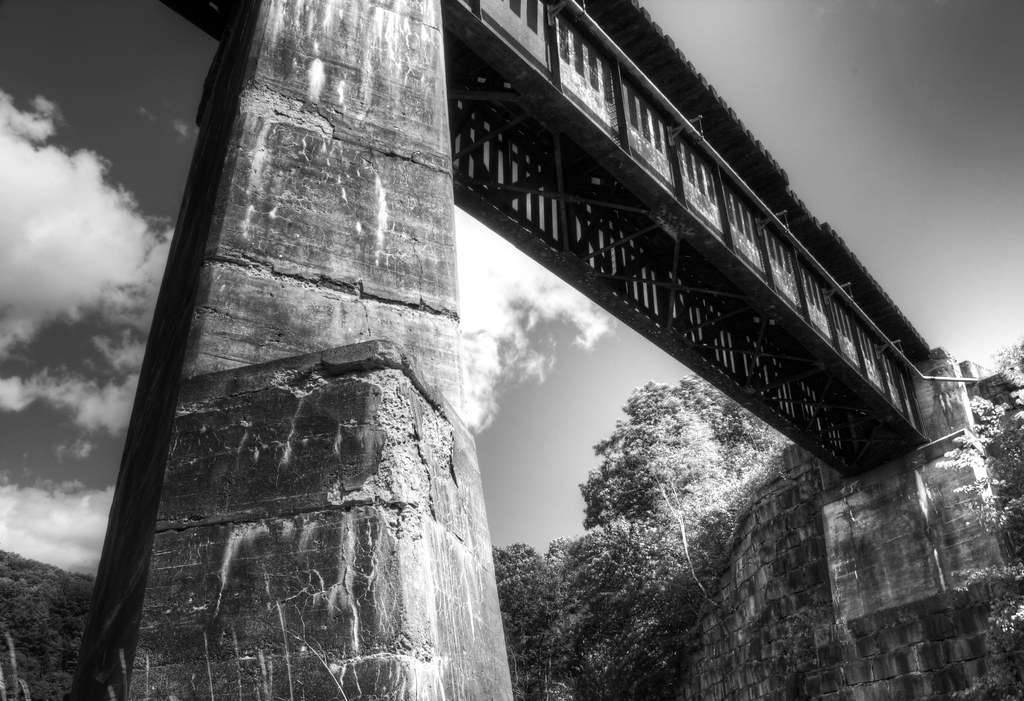
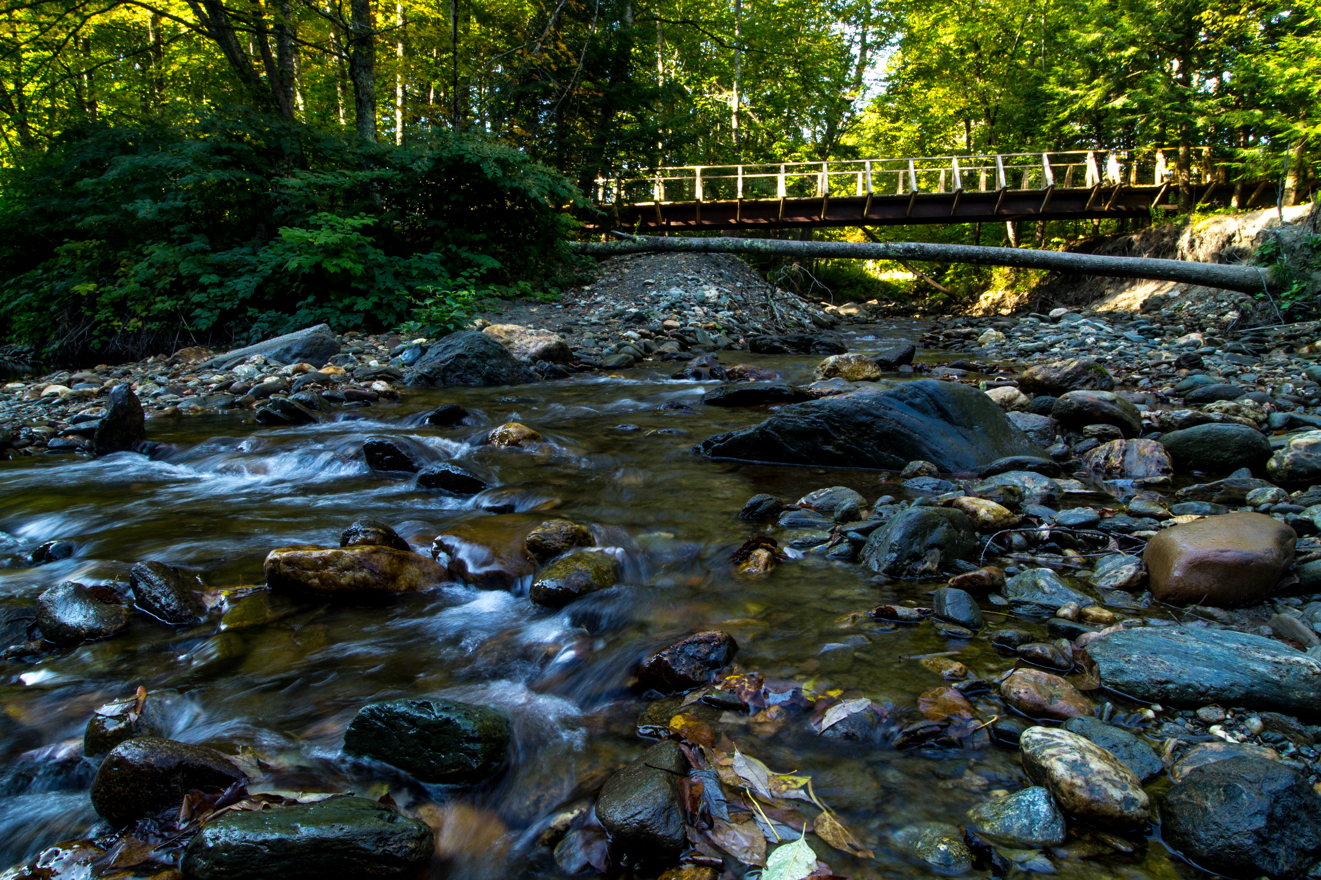
Train Bridge 09
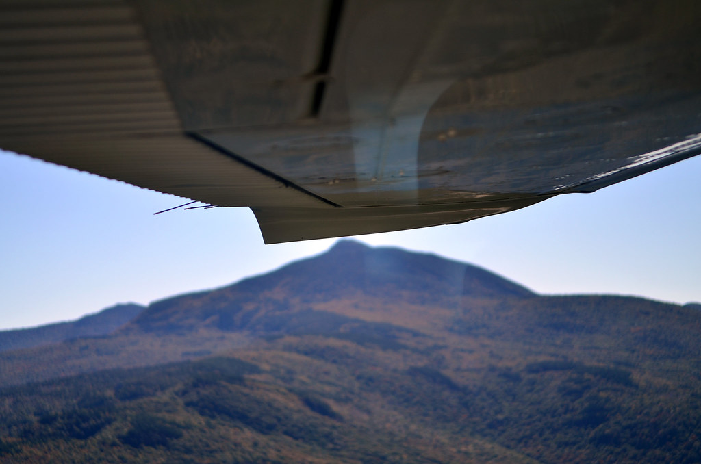
Camel's Hump (wing view)
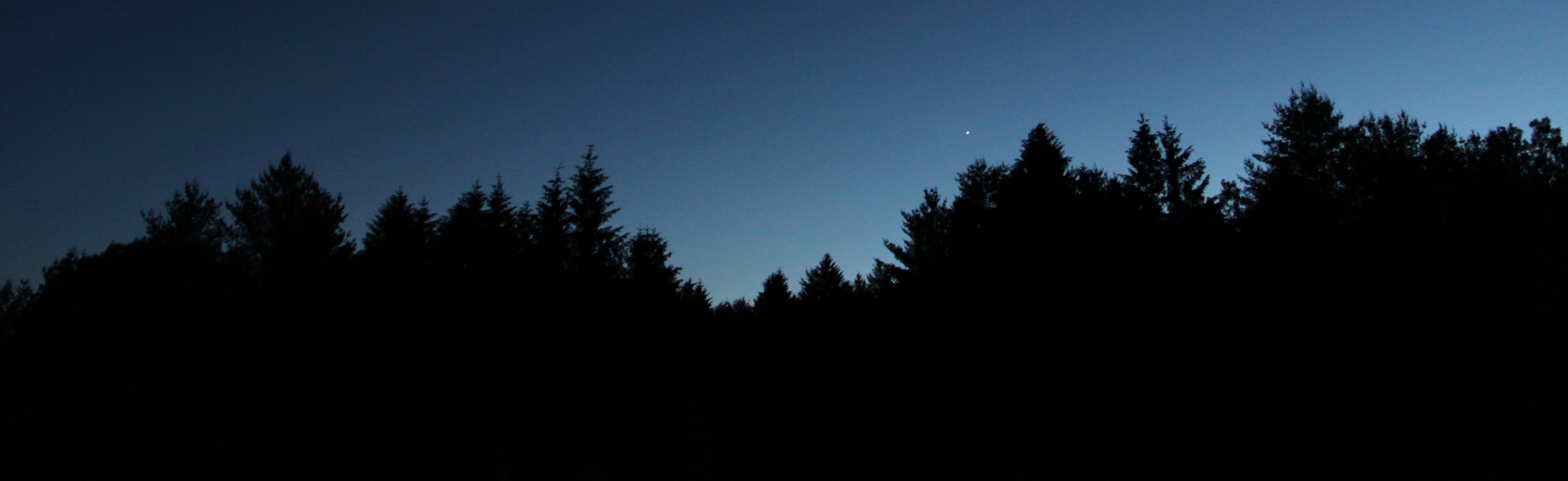
Evening Star
Vermont-7414.jpg
Camel's Hump summit
The Green Mountains

Cox Brook - Northfield Falls, Vermont

Green #mountains , #vermont #sunset #nofilter

It's All Down Hill From Here

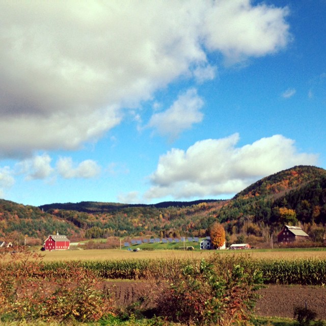
The Red Barn

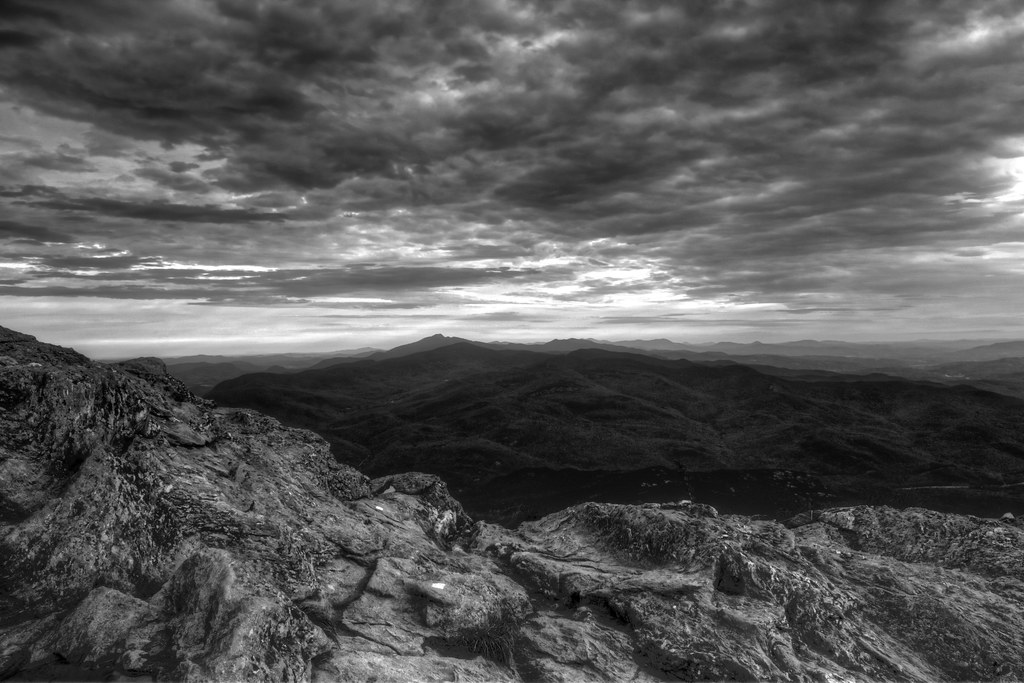
Stormy May Day

Gloomy Autumn Day
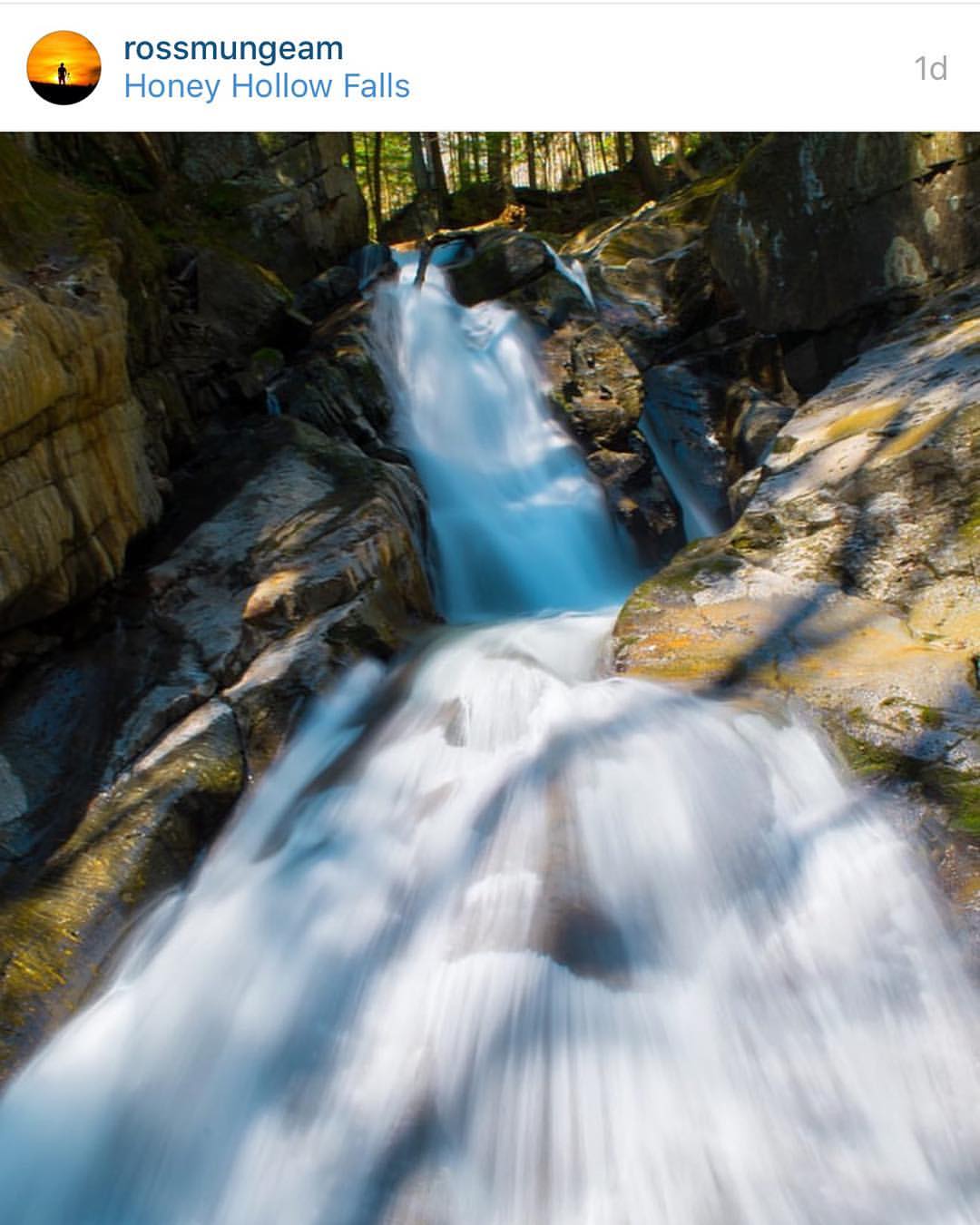
Congratulations!✨????✨ @rossmungeam Your Honey Hollow Falls shot has been chosen for a feature in the beautiful state of Vermont.

The Milky Way
The Mad River
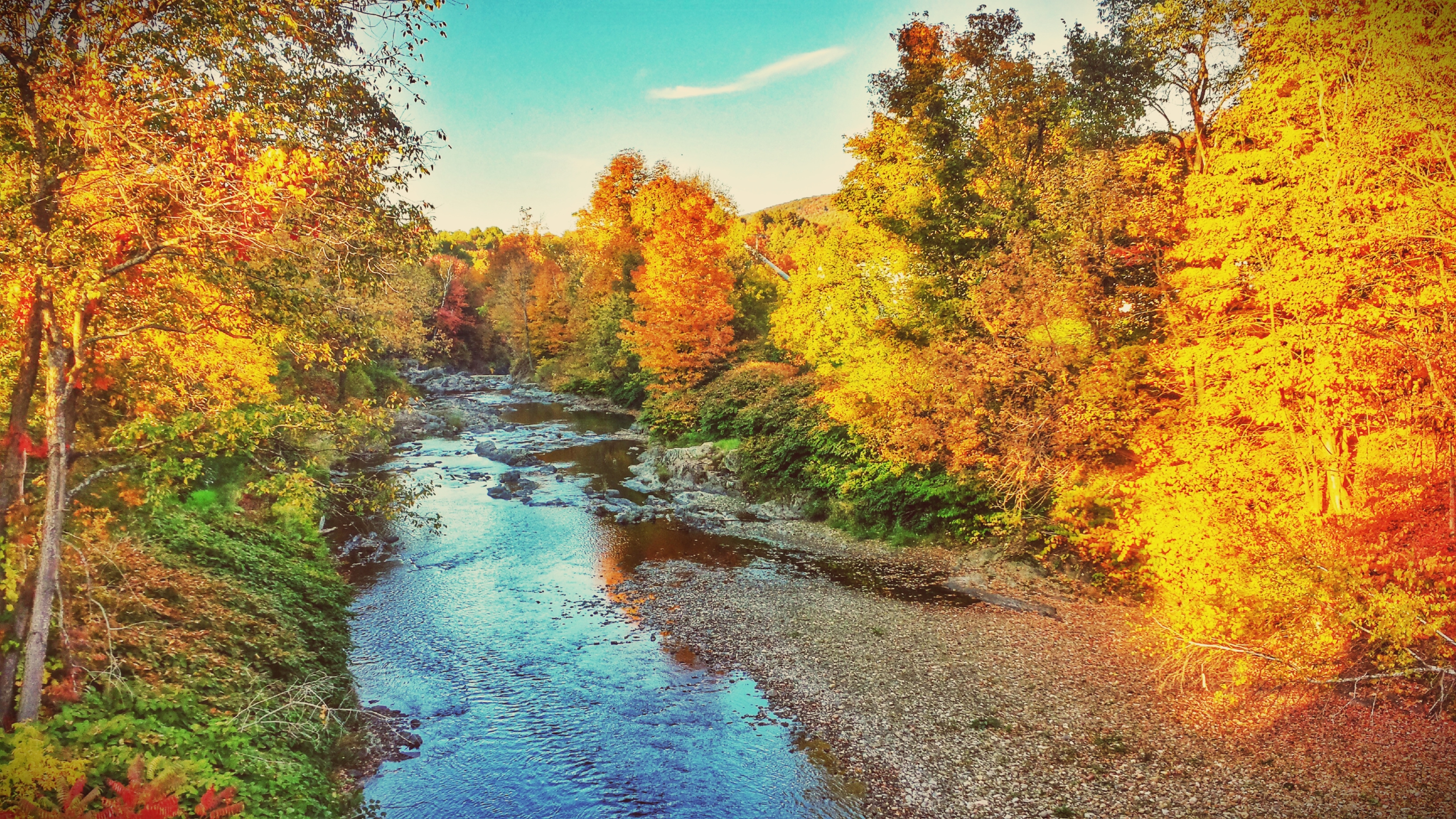
Fall colors in Vermont

Good weather for airstrikes

Sunset after the Storm
#barns in Bolton #instaeffects #instadaily #nature #instagramers #instagood #green #bestoftheday #follow #picoftheday #awesome #nofilter #iphoneonly #followme #photooftheday #beautiful #like #webstagram #vermont #eavig #empireavenue
Topographic Map of Turner Hill Rd, Waterbury, VT, USA
Find elevation by address:

Places near Turner Hill Rd, Waterbury, VT, USA:
710 Turner Hill Rd
2067 Vt-100
114 Nelson Farm Rd
White Pine Drive
395 Old Duxbury Rd
266 N Rd
Waitsfield
42 Sharky Dr
Common Road
74 Rainbow Path
Fayston
Battleground Road
River Ridge Road
Main Street
105 Vt-100
231 Lower Pines Rd
51 Upper Pines Rd
Airport Road
Mad River Glen Cooperative
Sugarbush Access Road
Recent Searches:
- Elevation of Woodland Oak Pl, Thousand Oaks, CA, USA
- Elevation of Brownsdale Rd, Renfrew, PA, USA
- Elevation of Corcoran Ln, Suffolk, VA, USA
- Elevation of Mamala II, Sariaya, Quezon, Philippines
- Elevation of Sarangdanda, Nepal
- Elevation of 7 Waterfall Way, Tomball, TX, USA
- Elevation of SW 57th Ave, Portland, OR, USA
- Elevation of Crocker Dr, Vacaville, CA, USA
- Elevation of Pu Ngaol Community Meeting Hall, HWHM+3X7, Krong Saen Monourom, Cambodia
- Elevation of Royal Ontario Museum, Queens Park, Toronto, ON M5S 2C6, Canada