Elevation of Tumbler Ridge, BC V0C, Canada
Location: Canada > British Columbia > Peace River >
Longitude: -120.99313
Latitude: 55.1257596
Elevation: 839m / 2753feet
Barometric Pressure: 92KPa
Elevation Map:
Satellite Map:
Related Photos:

Tepee Falls Hike

Canada Day

Teepee Creek Falls

Upper Quality Falls, BC, Canada

Quality Falls (Lower), Tumbler Ridge, BC

ankylosaur footprint

Flatbed Falls

DSC06965_146278.jpg

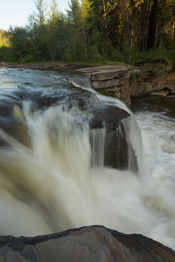
Flatbed Falls

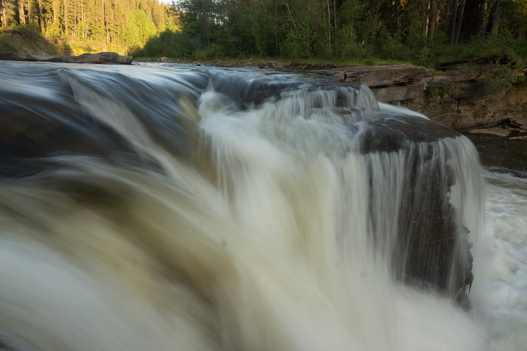
Flatbed Falls

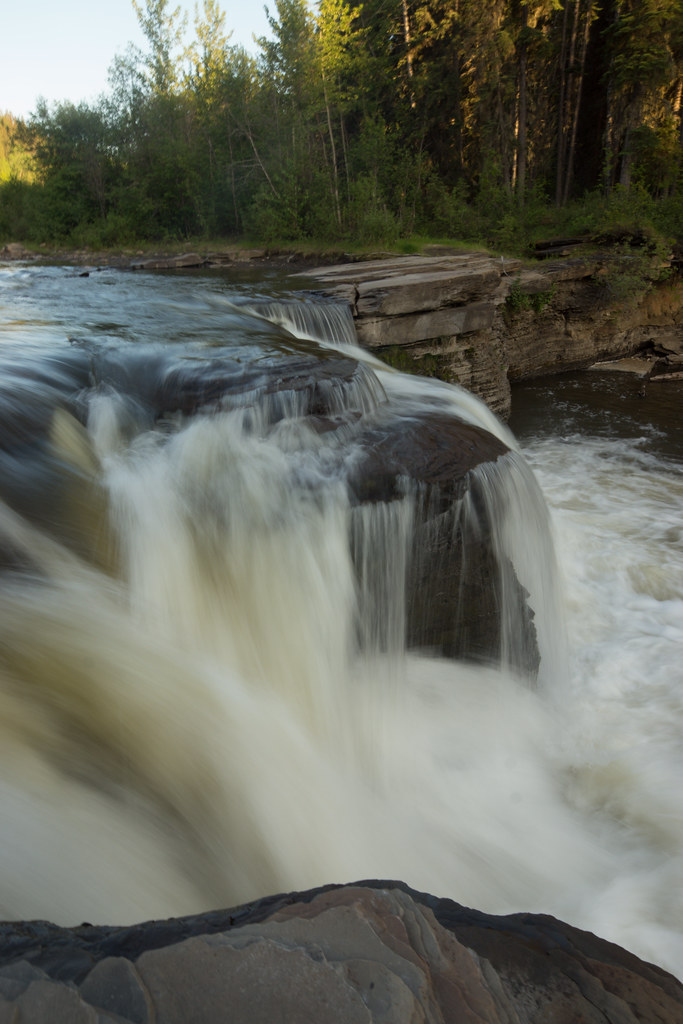
Flatbed Falls

Bottom of Quality Falls

Flatbed Falls

Kinuseo Falls

DSC06986_152369.jpg
DSC06984_147271.jpg

DSC06945_146569.jpg
DSC06982_149499.jpg
DSC06984_150769.jpg
Topographic Map of Tumbler Ridge, BC V0C, Canada
Find elevation by address:

Places in Tumbler Ridge, BC V0C, Canada:
Places near Tumbler Ridge, BC V0C, Canada:
Tumbler Ridge
271 Steeprock Close
Babcock Falls Trail
John Hart Hwy, Groundbirch, BC V0C 1T0, Canada
Chetwynd
4700 50th St Nw
Chetwynd
Hasler Creek
Peace River E
Hudson's Hope
Beattie Dr, Hudson's Hope, BC V0C, Canada
10220 Dudley Dr
10220 Dudley Dr
10220 Dudley Dr
10220 Dudley Dr
10220 Dudley Dr
19473 Beattie Dr
Hudson's Hope
Recent Searches:
- Elevation of Leguwa, Nepal
- Elevation of County Rd, Enterprise, AL, USA
- Elevation of Kolchuginsky District, Vladimir Oblast, Russia
- Elevation of Shustino, Vladimir Oblast, Russia
- Elevation of Lampiasi St, Sarasota, FL, USA
- Elevation of Elwyn Dr, Roanoke Rapids, NC, USA
- Elevation of Congressional Dr, Stevensville, MD, USA
- Elevation of Bellview Rd, McLean, VA, USA
- Elevation of Stage Island Rd, Chatham, MA, USA
- Elevation of Shibuya Scramble Crossing, 21 Udagawacho, Shibuya City, Tokyo -, Japan