Elevation map of Tsenkher, Mongolia
Location: Mongolia > Arkhangai >
Longitude: 101.539172
Latitude: 47.1019933
Elevation: 1989m / 6526feet
Barometric Pressure: 80KPa
Elevation Map:
Satellite Map:
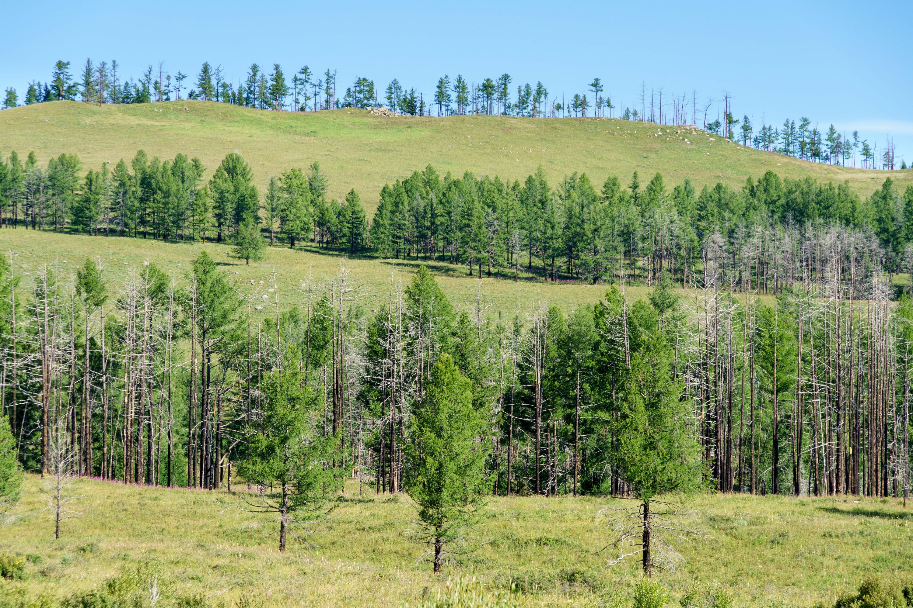
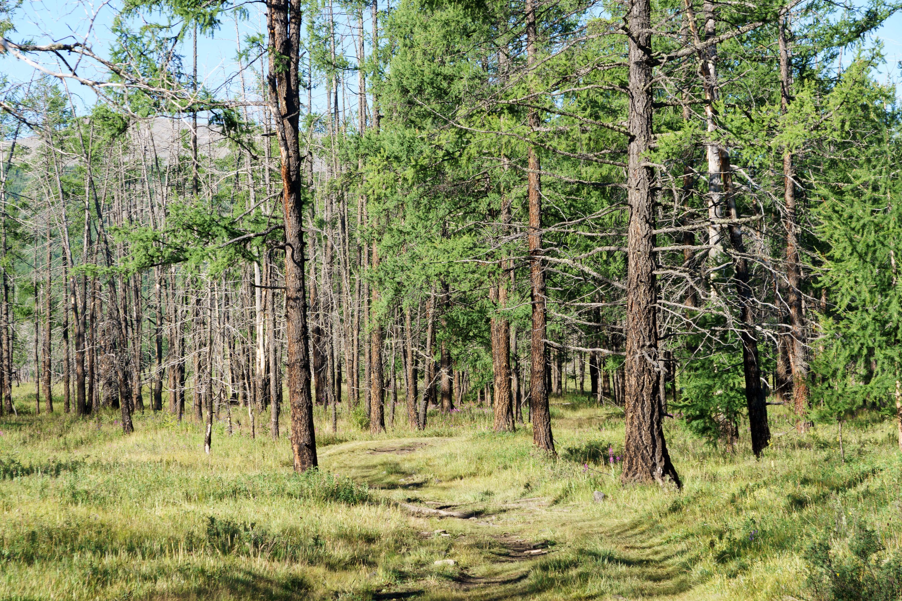
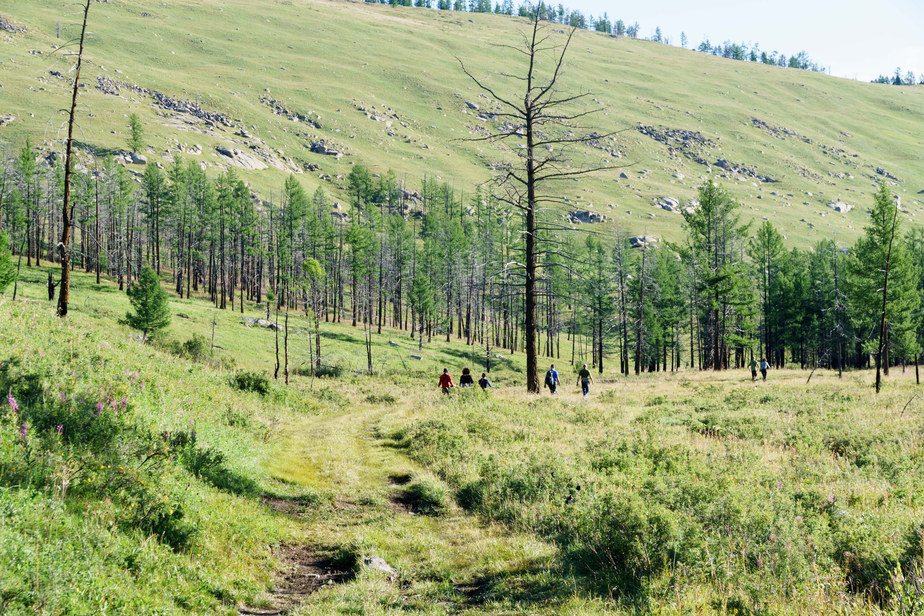
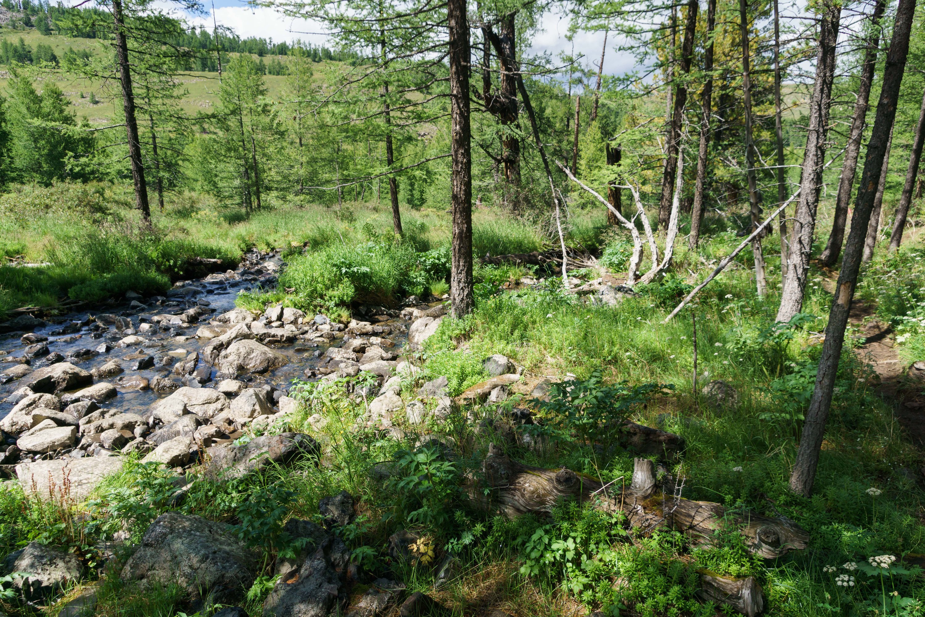
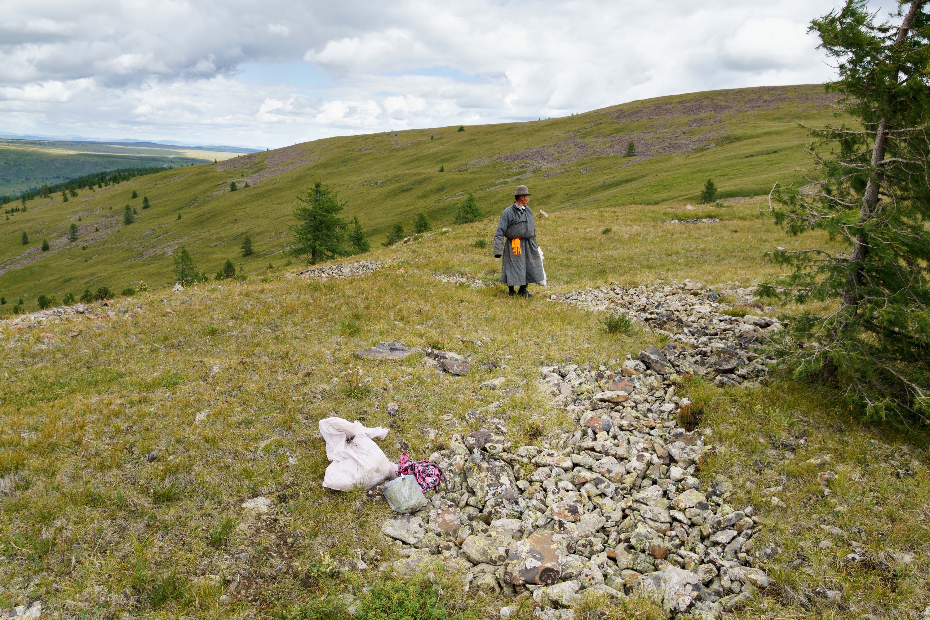
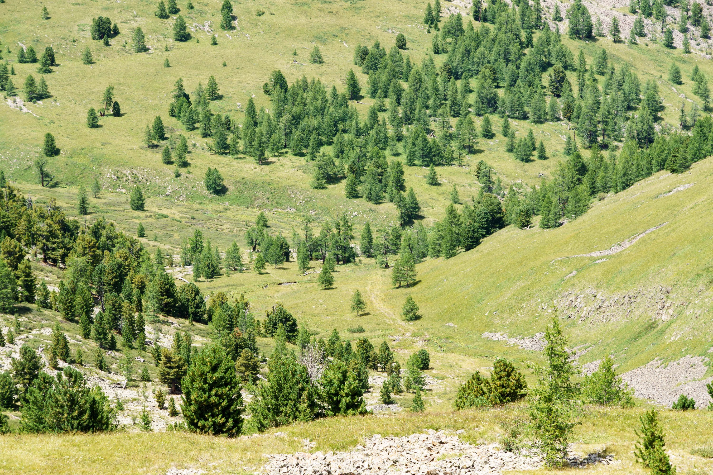
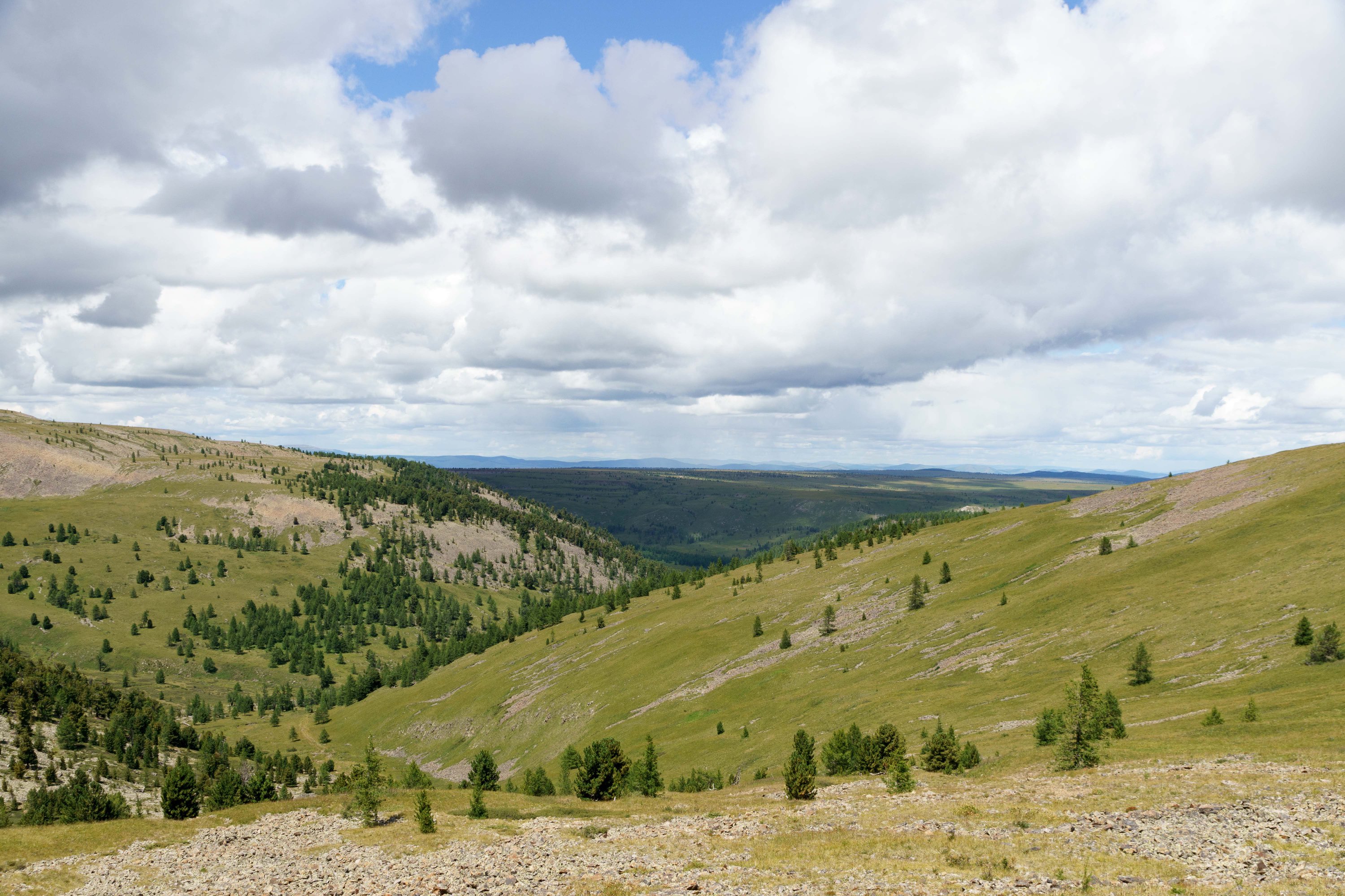
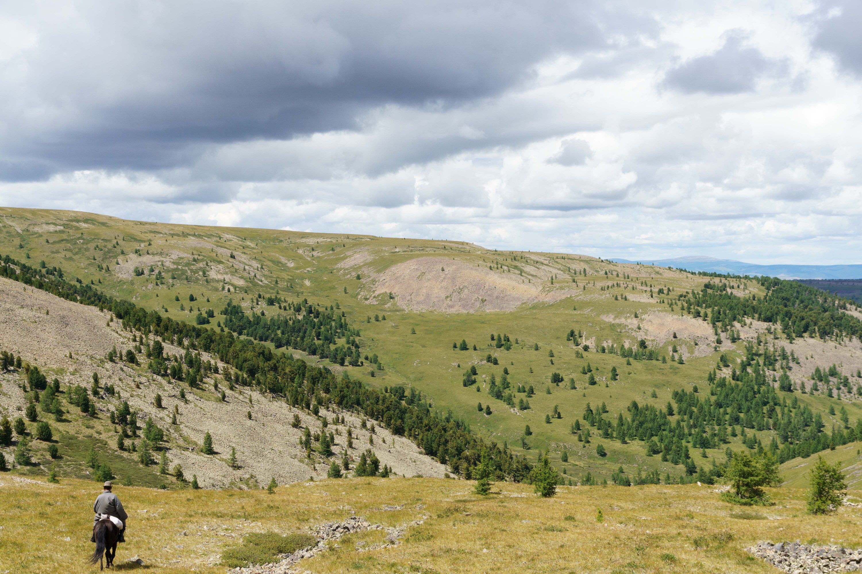
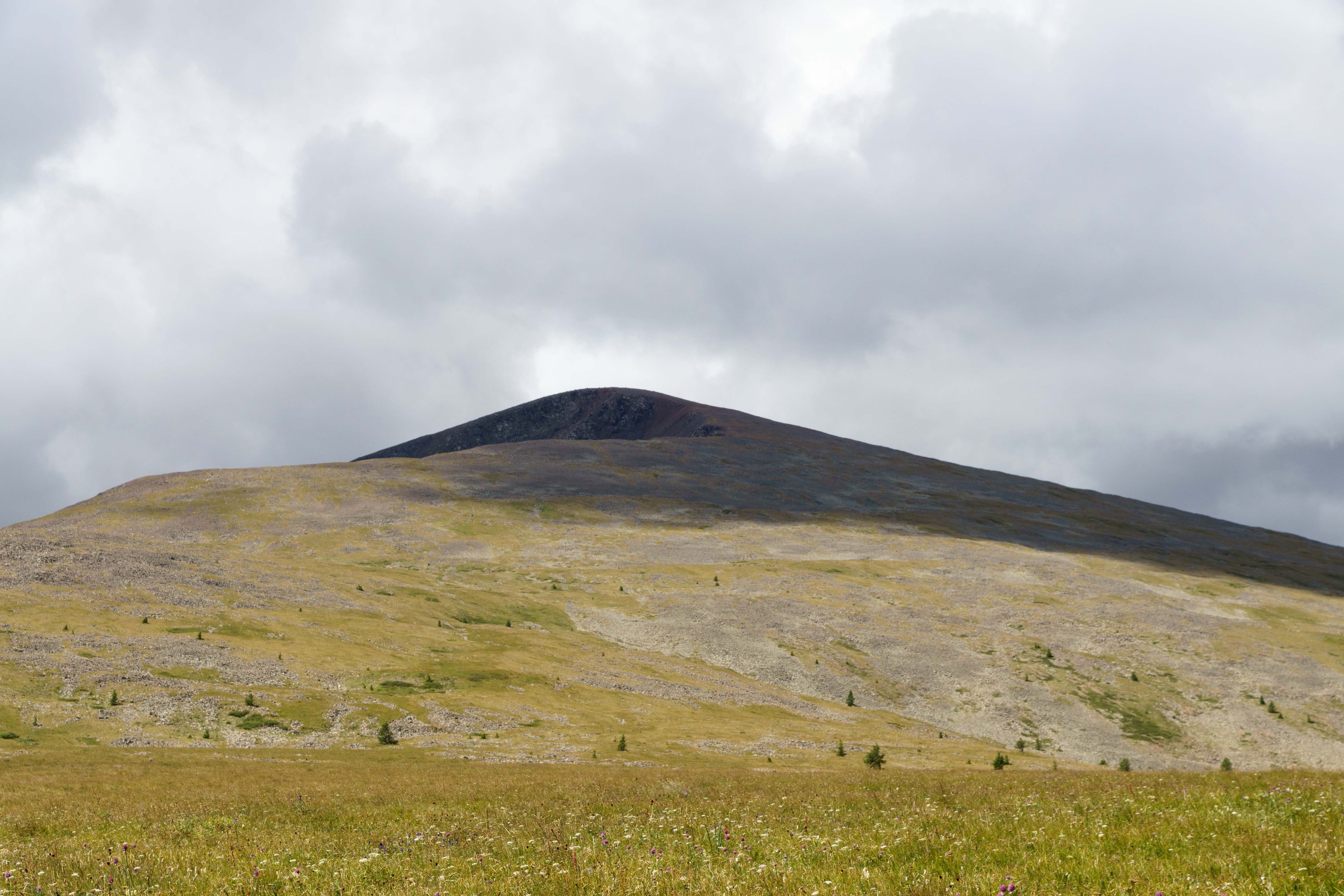
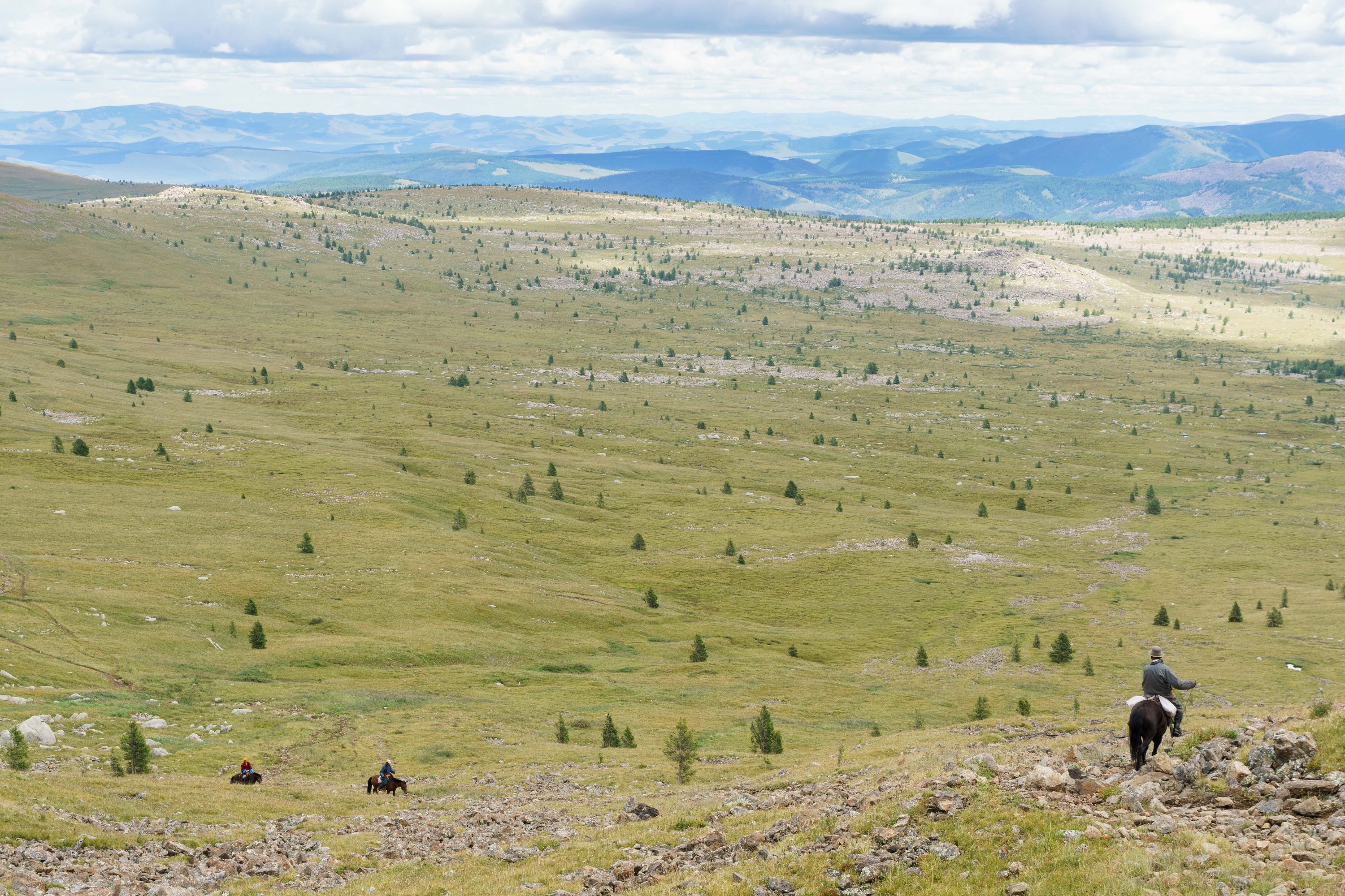
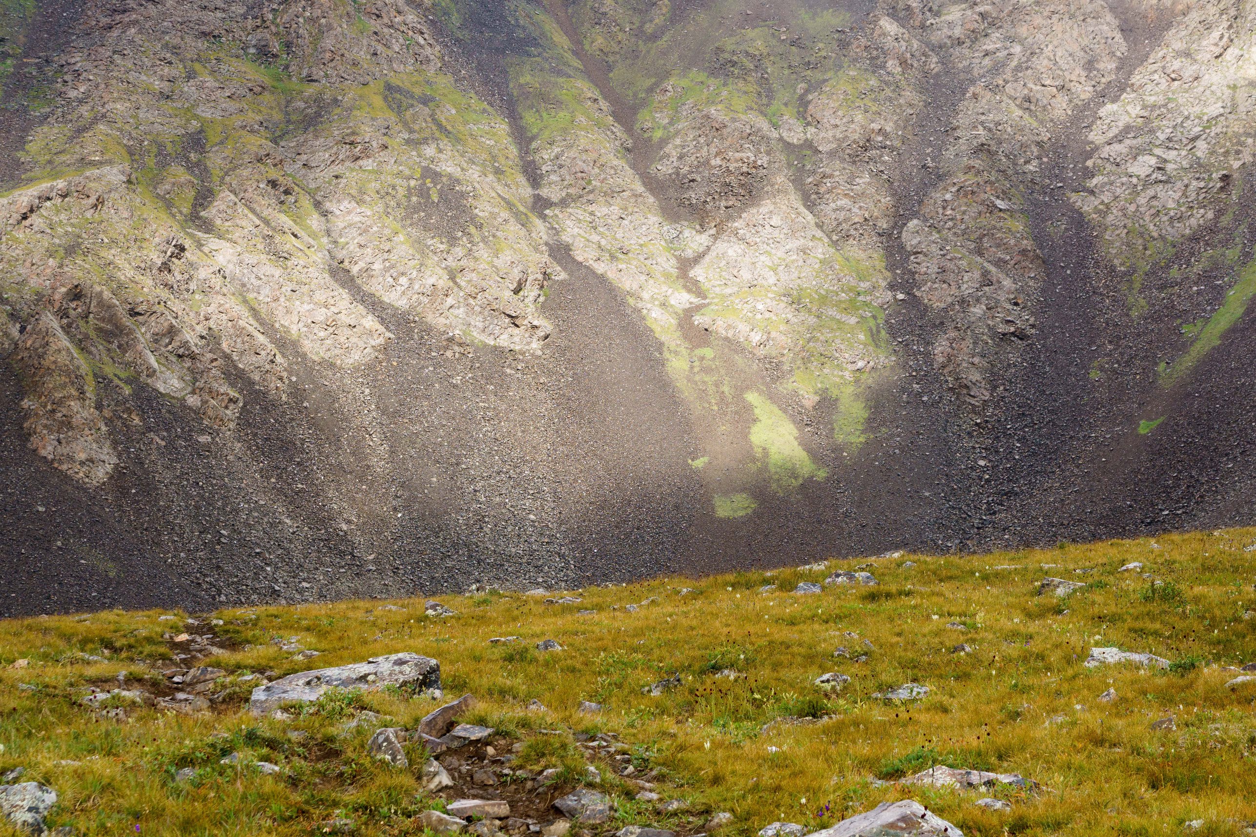
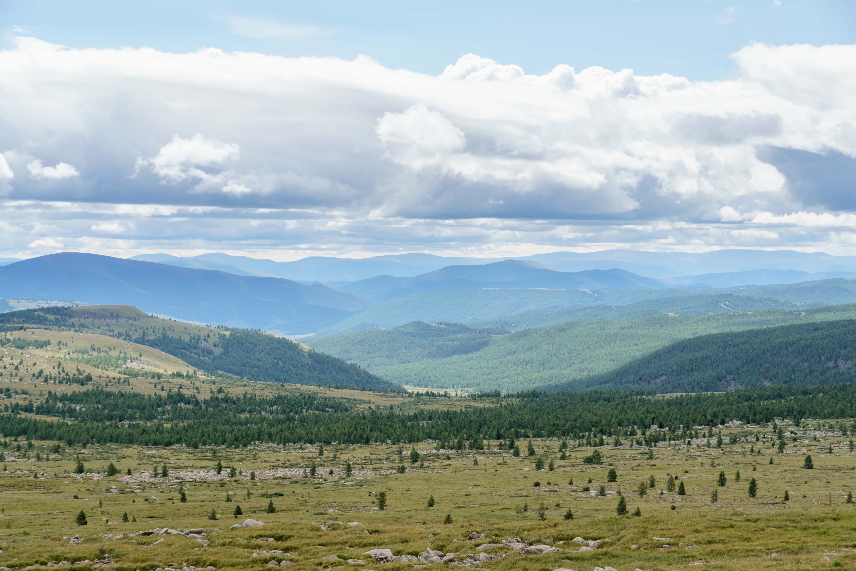
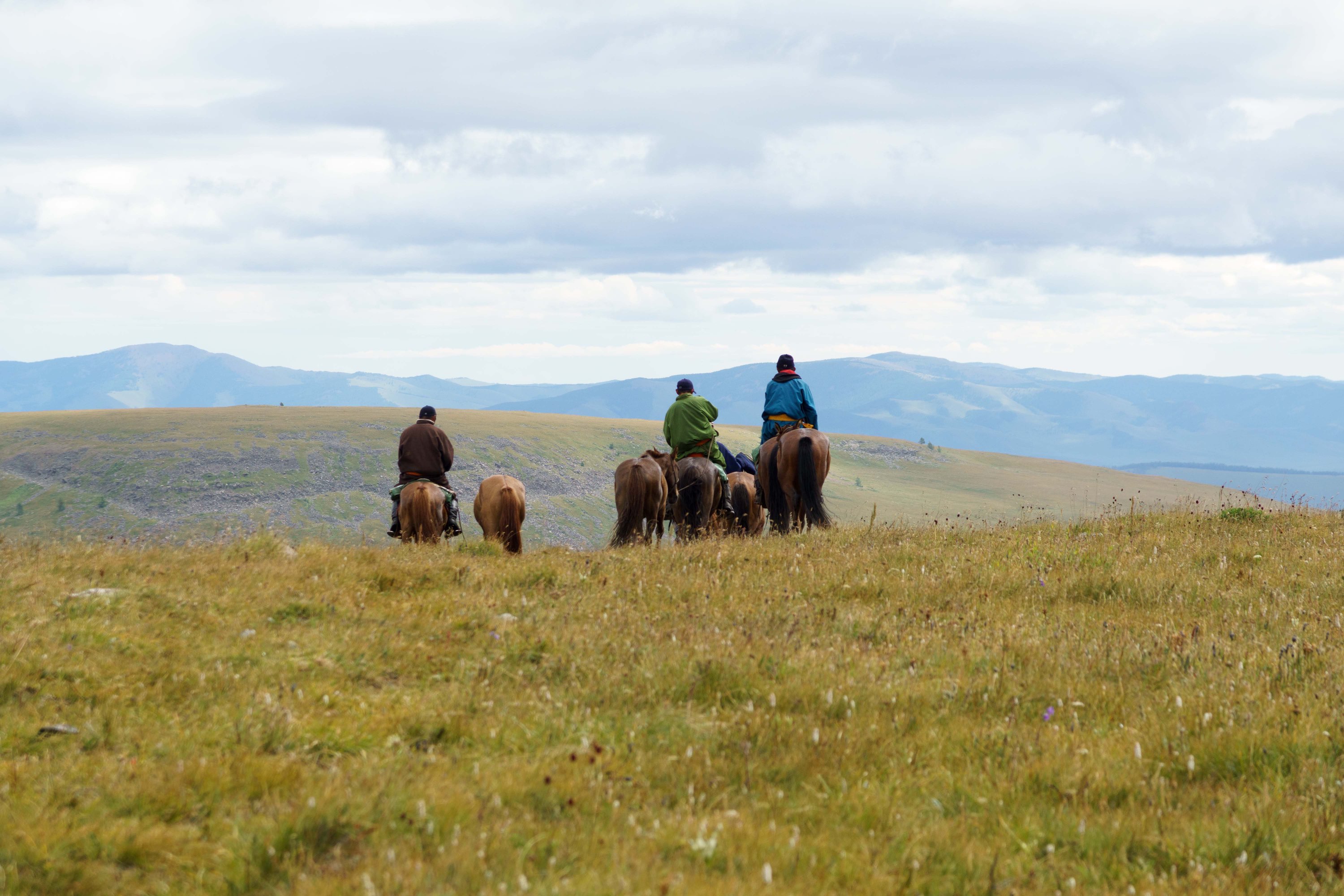
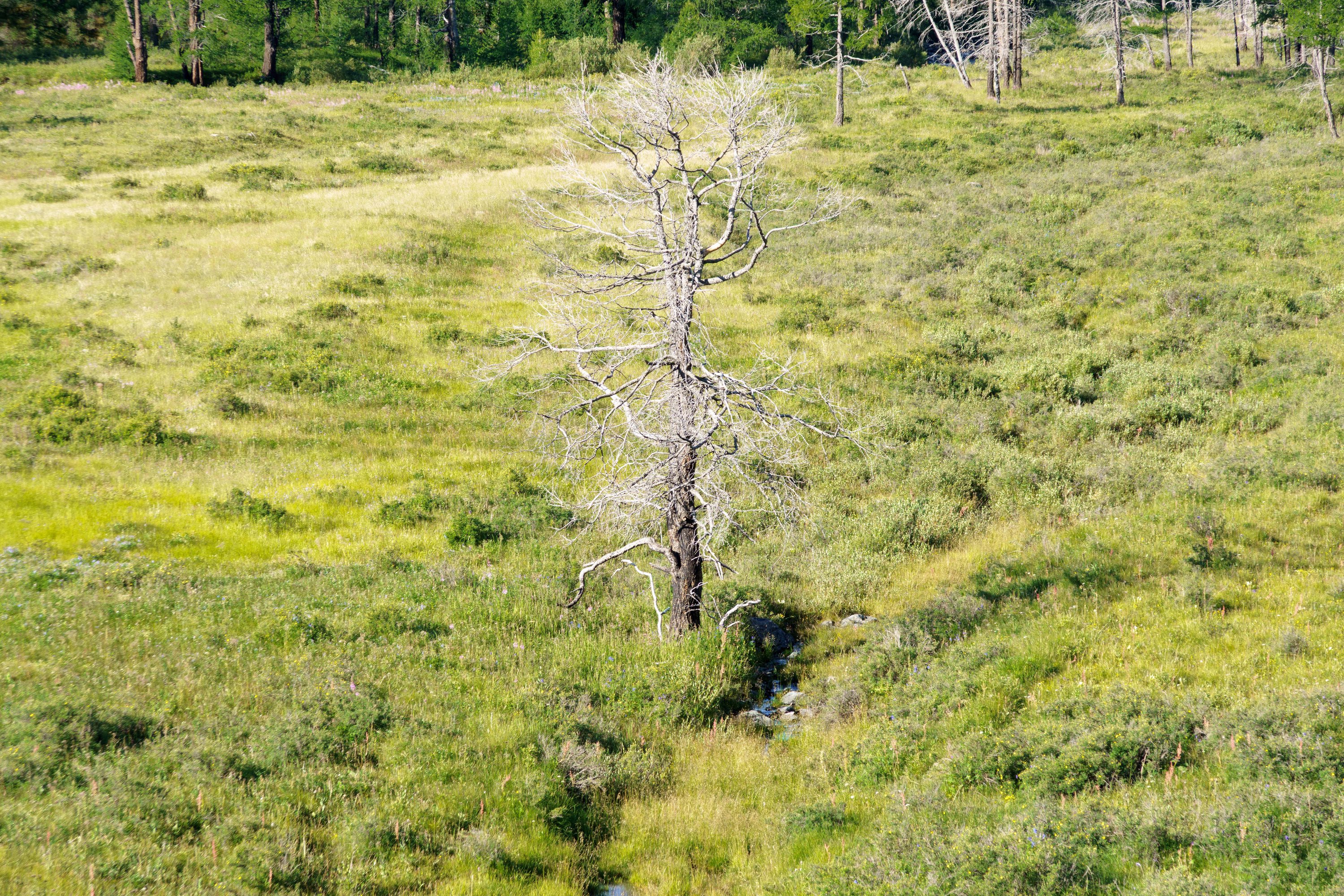
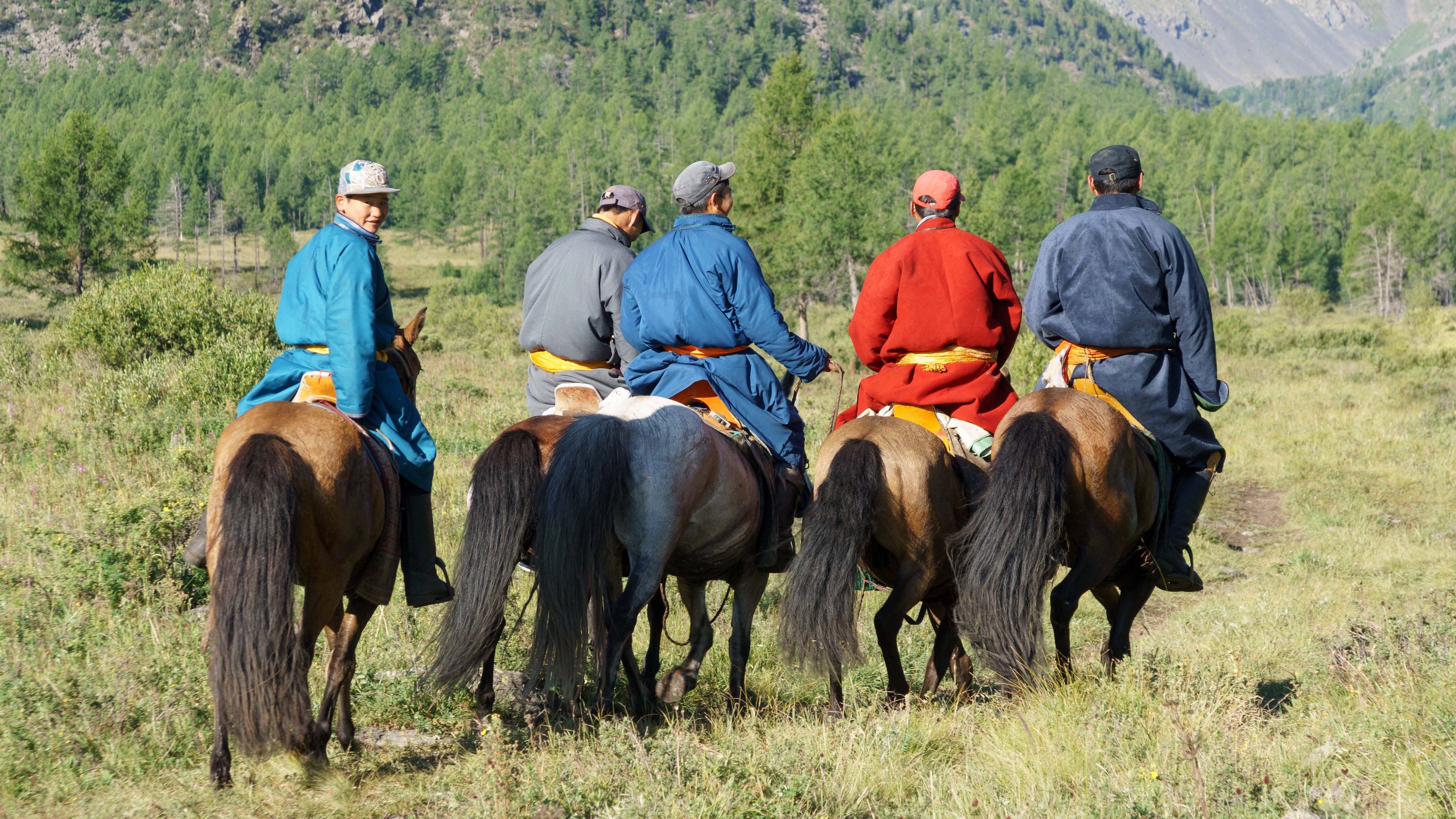
Related Photos:

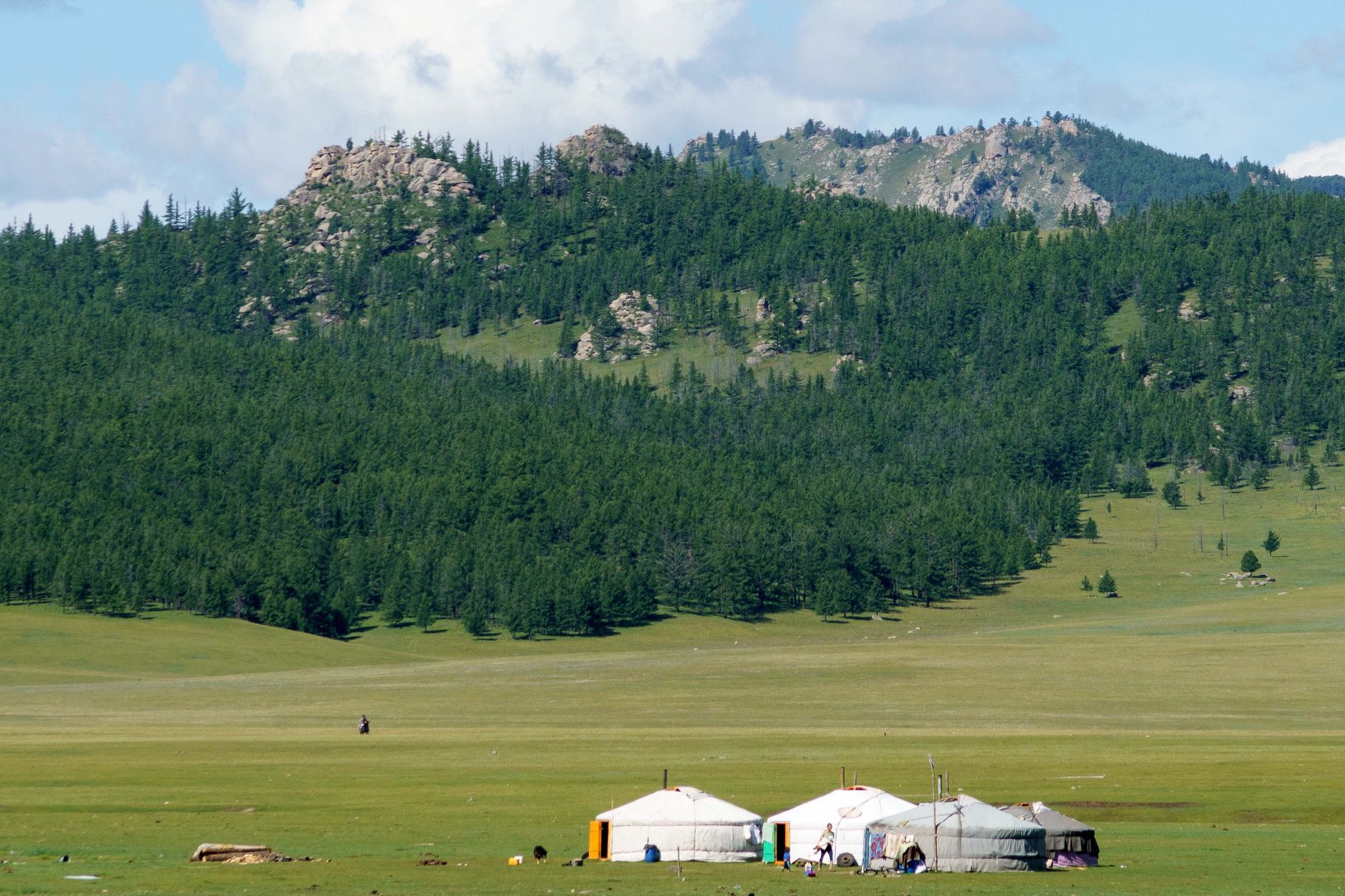
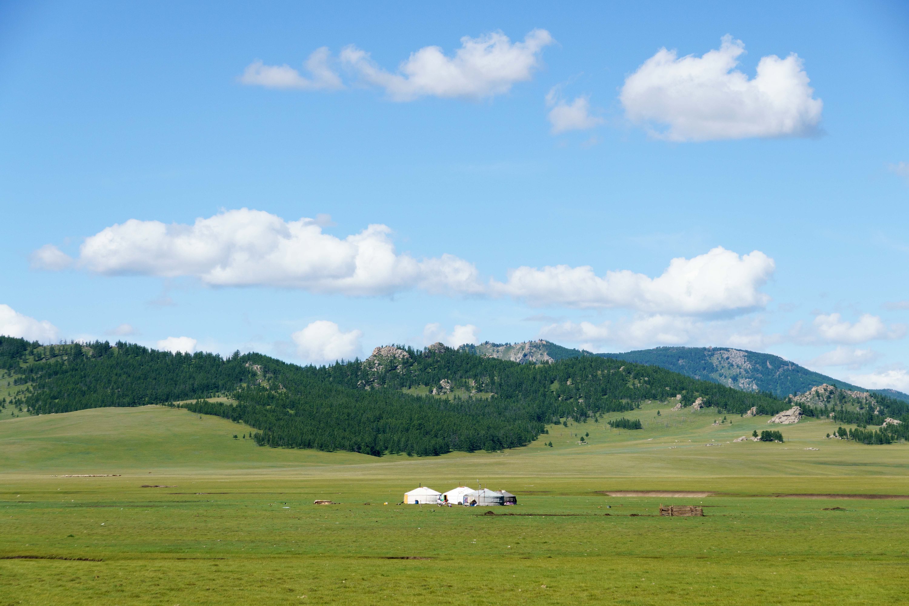
Gers Dot the Valley Floor

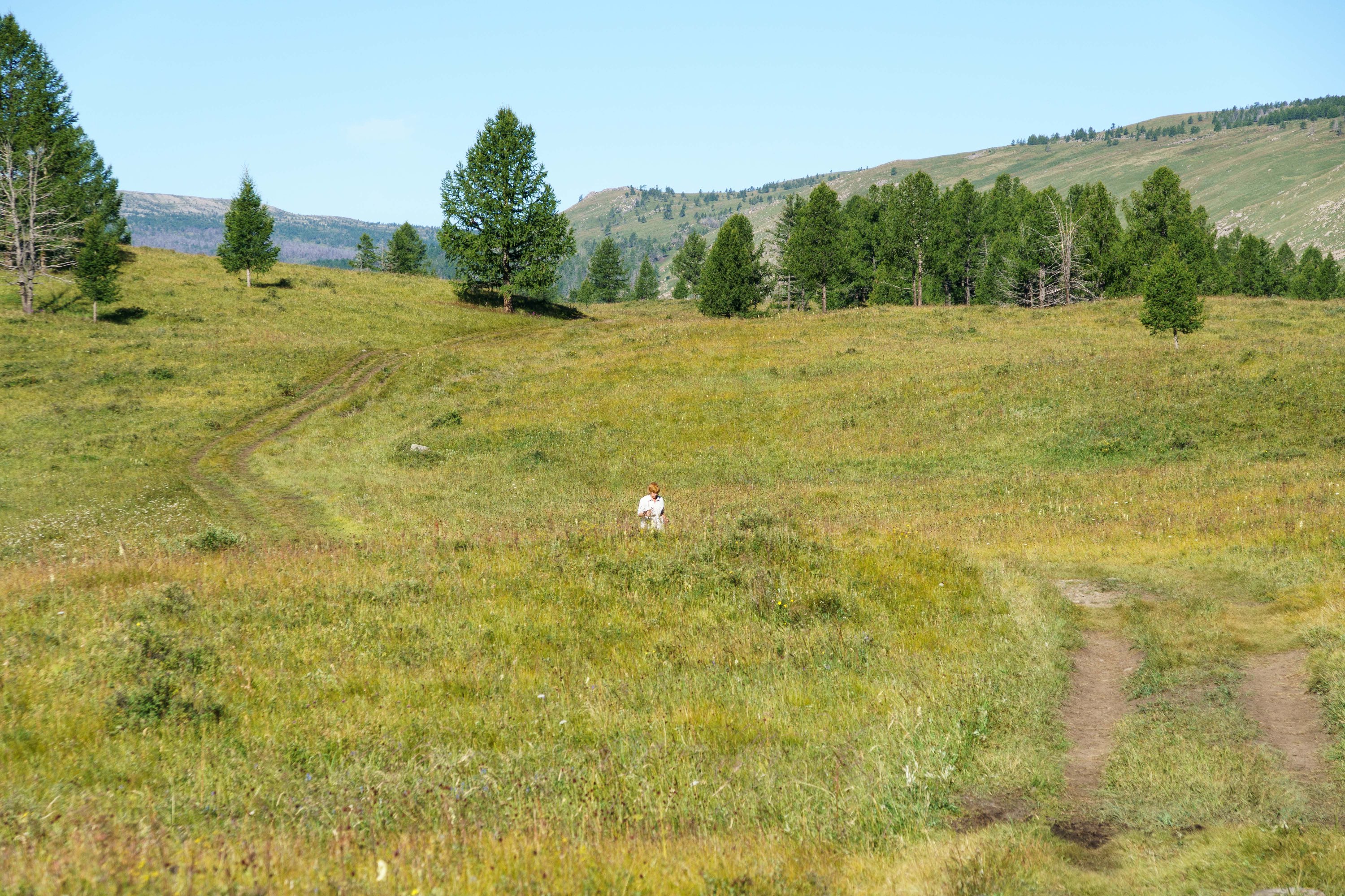
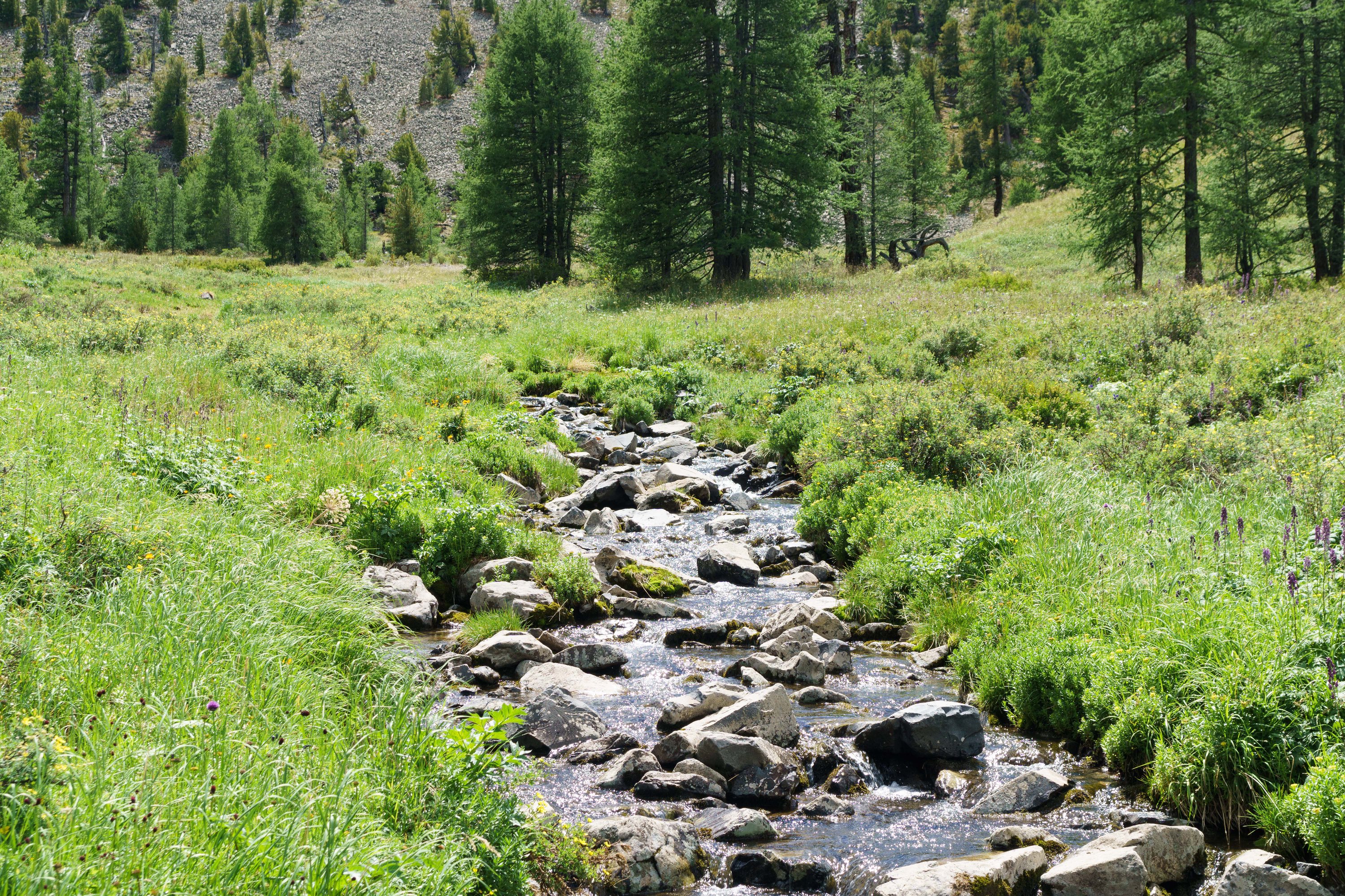
Wildflowers Carpet the Forest Floor
DSC04842
DSC04841
DSC04840
DSC04839
DSC04838
DSC04836
DSC04835
DSC04832
DSC04829
DSC04828
DSC04827
DSC04826

DSC04825_DSC04826
DSC04824
DSC04821
DSC04814
DSC04794
DSC04793
DSC04792
DSC04837
DSC04834
Topographic Map of Tsenkher, Mongolia
Find elevation by address:

Places in Tsenkher, Mongolia:
Places near Tsenkher, Mongolia:
Tsenkher Hot Spring Resort
Tsetserleg
Erdenebulgan
Altan-ovoo
Khangai Nuruu National Park
Tavanbulag
Tuvshruulekh
Battsengel
Tovkhon Xiid
Батцэнгэл сум
Jargalant
Kharkhorum Museum
Ugiinuur Road
Ugiinuur Road
Khujirt
Recent Searches:
- Elevation of 62 Abbey St, Marshfield, MA, USA
- Elevation of Fernwood, Bradenton, FL, USA
- Elevation of Felindre, Swansea SA5 7LU, UK
- Elevation of Leyte Industrial Development Estate, Isabel, Leyte, Philippines
- Elevation of W Granada St, Tampa, FL, USA
- Elevation of Pykes Down, Ivybridge PL21 0BY, UK
- Elevation of Jalan Senandin, Lutong, Miri, Sarawak, Malaysia
- Elevation of Bilohirs'k
- Elevation of 30 Oak Lawn Dr, Barkhamsted, CT, USA
- Elevation of Luther Road, Luther Rd, Auburn, CA, USA