Elevation of Troy, IA, USA
Location: United States > Iowa > Clarke County >
Longitude: -93.967437
Latitude: 41.0317746
Elevation: 369m / 1211feet
Barometric Pressure: 97KPa
Elevation Map:
Satellite Map:
Related Photos:

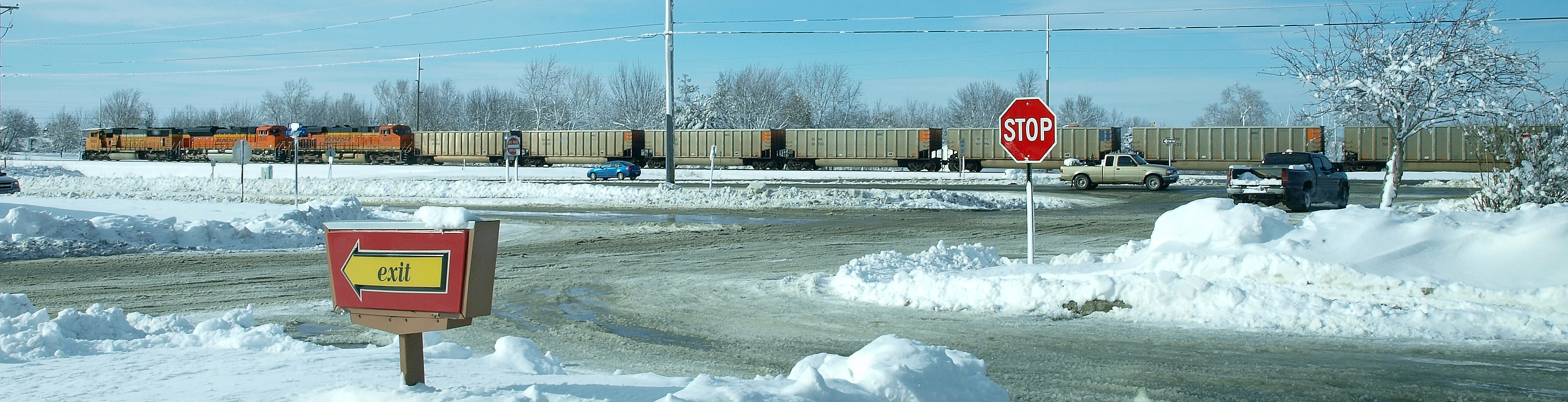
BNSF 5803
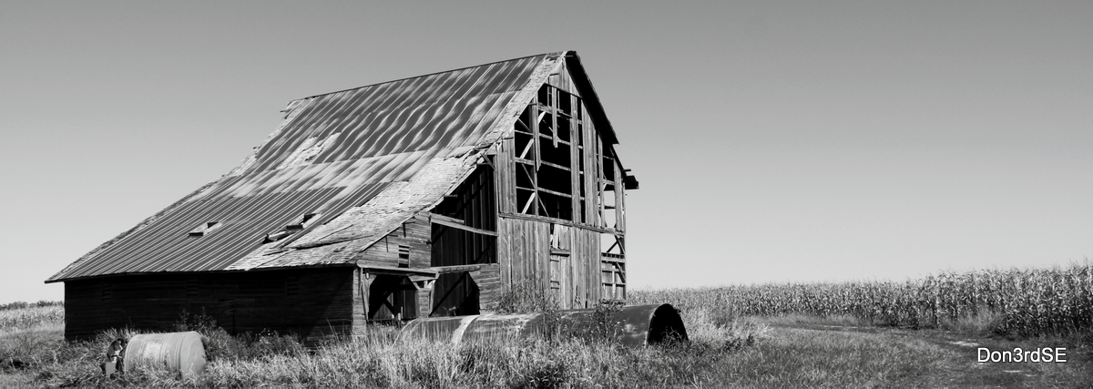
Lonely Barn
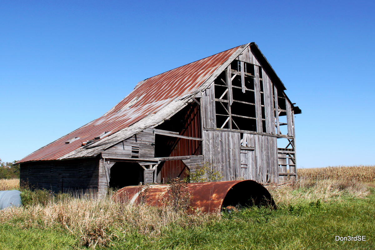
Lonely Barn - In Color
Osceola IA .. E3_20150202_143839_0847_v01

BNSF 7820 - Talmage, IA
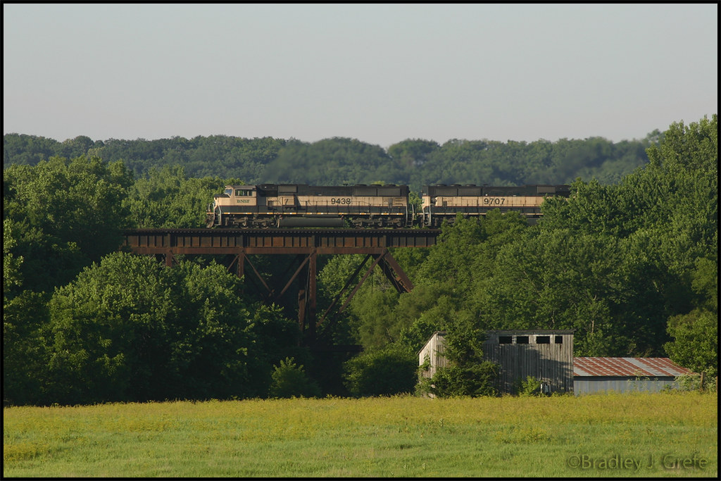
BNSF 9439 - Talmage Bridge
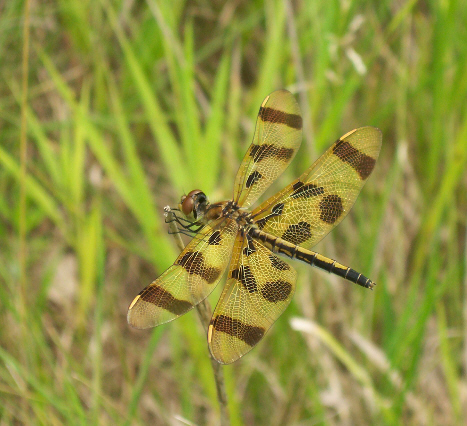
Halloween Pennant (Celithemis eponina)

Tawny-edged Skipper (Polites themistocles themistocles)

2016:08:28 17:47:55 Flickr-035

2016:08:28 17:47:55 Flickr-036

Regal Fritillary (Speyeria idalia occidentalis)
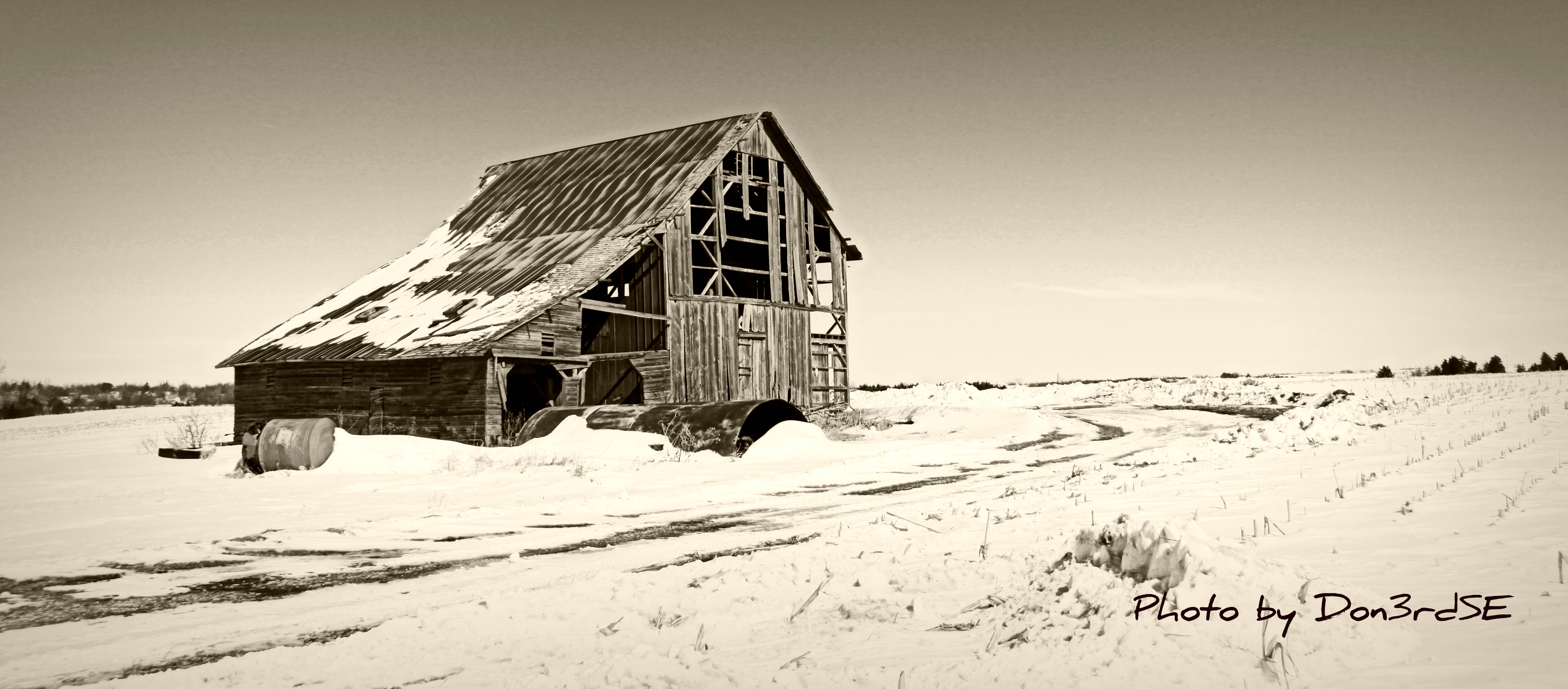
Sepia Barn - Murray, Iowa
Topographic Map of Troy, IA, USA
Find elevation by address:

Places in Troy, IA, USA:
Places near Troy, IA, USA:
Murray
5th St, Murray, IA, USA
Ward
Lacelle Rd, Osceola, IA, USA
Knox
1913 Orange St
205th Avenue
Walnut
Clarke County
Osceola, IA, USA
th Ave, Osceola, IA, USA
1000 Jeffreys Dr
Doyle St, Osceola, IA, USA
Long Creek
Florence Ave, East Peru, IA, USA
East Peru
Osceola
S Main St, Osceola, IA, USA
Union
1071 Harken Hills Dr
Recent Searches:
- Elevation of Rojo Ct, Atascadero, CA, USA
- Elevation of Flagstaff Drive, Flagstaff Dr, North Carolina, USA
- Elevation of Avery Ln, Lakeland, FL, USA
- Elevation of Woolwine, VA, USA
- Elevation of Lumagwas Diversified Farmers Multi-Purpose Cooperative, Lumagwas, Adtuyon, RV32+MH7, Pangantucan, Bukidnon, Philippines
- Elevation of Homestead Ridge, New Braunfels, TX, USA
- Elevation of Orchard Road, Orchard Rd, Marlborough, NY, USA
- Elevation of 12 Hutchinson Woods Dr, Fletcher, NC, USA
- Elevation of Holloway Ave, San Francisco, CA, USA
- Elevation of Norfolk, NY, USA