Elevation of Trout Valley Rd, Wake Forest, NC, USA
Location: United States > North Carolina > Wake County > Wake Forest > Wake Forest >
Longitude: -78.475527
Latitude: 35.9648109
Elevation: 94m / 308feet
Barometric Pressure: 100KPa
Elevation Map:
Satellite Map:
Related Photos:
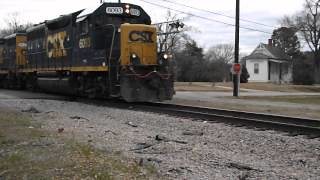
CSX F711 rumbles past the Restored Passenger Depot in Franklinton, NC

Map of H C Fricke coal and coke in Fayette County Pennsylvania
Neuse River Greenway bridge at Smith Creek Greenway
woman, do NOT miss this profile shot!

hey lady, you lookin' at me???
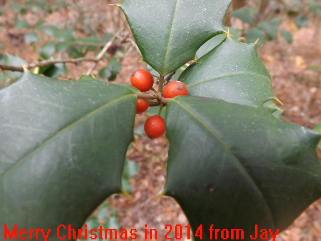
Merry Christmas from Lionel682

Maxine: Some Whimsical Title about distant love or something

Maybe its too late. Then again, maybe not.
In Formation with Skydivers
View from front porch
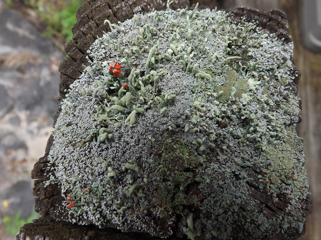
Cladonia Cristatella Lichens (1of2) top view

Video of snow or 118 shopping days left till Christmas
Fairy convention (1of3)

Summer Rose and Bee
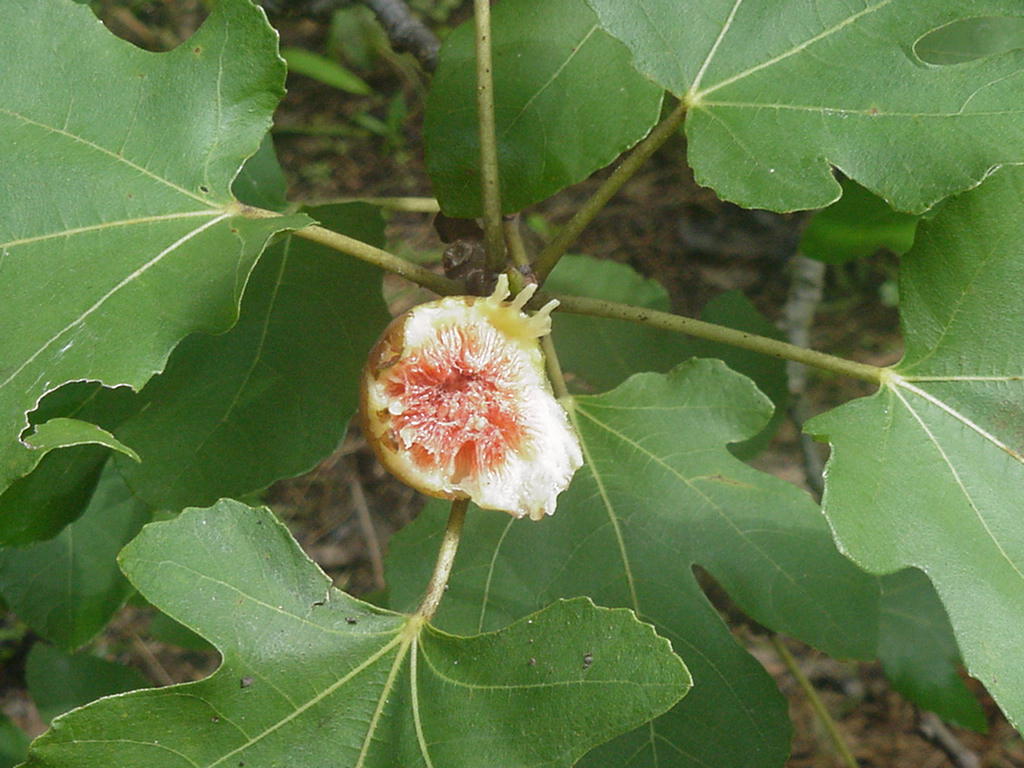
Squirrels 1 Lionel682 0 Squirrels eat the fig
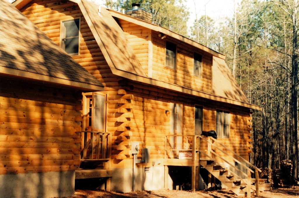
Log Cabin_07
What the previous photo should look like

Saturn Vue fault line

Summer Morning Glory

Box Turtle
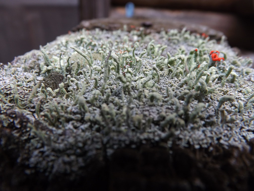
Cladonia Cristatella Lichens (2of2) side view
Some Snow

{Echo} Week 16- Meander
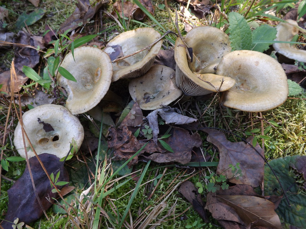
Agarius Bisporous?

Sunrise through snowy trees

20131219-IMG_7838.jpg
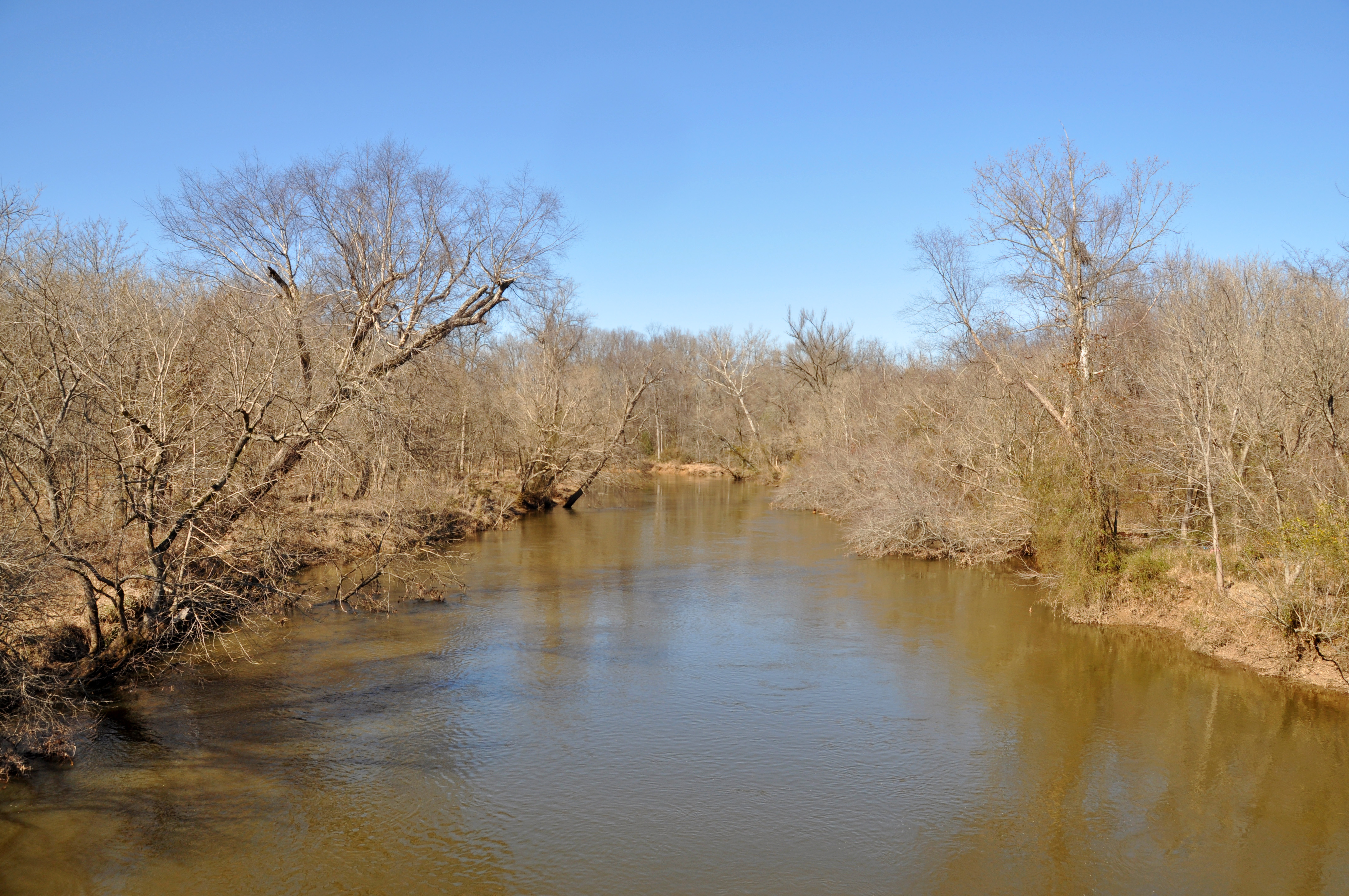
Raleigh - Neuse River

Sunrise 3/13/15 3of3

20131219-IMG_7780.jpg
20131219-IMG_7835.jpg
Mistletoe - 0119
Agarius Bisporous?

Neuse River Greenway

White Christmas??? or ground fog
Flaming Sunrise

No spectating...only skydiving!
Whitewater Falls

Beautiful Morning

Neuse River

The first group is off!
Mistletoe - 0153
Mushrooms and Moss (2of3)
Topographic Map of Trout Valley Rd, Wake Forest, NC, USA
Find elevation by address:

Places near Trout Valley Rd, Wake Forest, NC, USA:
6320 Calico Ct
1306 Fairview Club Dr
Ammons Reservoir
833 Wildflower Ridge Rd
Poppy Fields Lane
Traditions Ridge Drive
600 Canvas Dr
Wake Forest
601 Rookwood Ct
559 E Walnut Ave
559 E Walnut Ave
559 E Walnut Ave
5800 Morning Star Ln
North White Street
705 Old Dairy Dr
629 Old Dairy Dr
Wake Forest
South White Street
1625 Silo Point Dr
1644 Highpoint St
Recent Searches:
- Elevation of 30 Oak Lawn Dr, Barkhamsted, CT, USA
- Elevation of Luther Road, Luther Rd, Auburn, CA, USA
- Elevation of Unnamed Road, Respublika Severnaya Osetiya — Alaniya, Russia
- Elevation of Verkhny Fiagdon, North Ossetia–Alania Republic, Russia
- Elevation of F. Viola Hiway, San Rafael, Bulacan, Philippines
- Elevation of Herbage Dr, Gulfport, MS, USA
- Elevation of Lilac Cir, Haldimand, ON N3W 2G9, Canada
- Elevation of Harrod Branch Road, Harrod Branch Rd, Kentucky, USA
- Elevation of Wyndham Grand Barbados Sam Lords Castle All Inclusive Resort, End of Belair Road, Long Bay, Bridgetown Barbados
- Elevation of Iga Trl, Maggie Valley, NC, USA