Elevation of Trout Creek, NY, USA
Location: United States > New York > Delaware County > Tompkins >
Longitude: -75.278894
Latitude: 42.205068
Elevation: 396m / 1299feet
Barometric Pressure: 97KPa
Elevation Map:
Satellite Map:
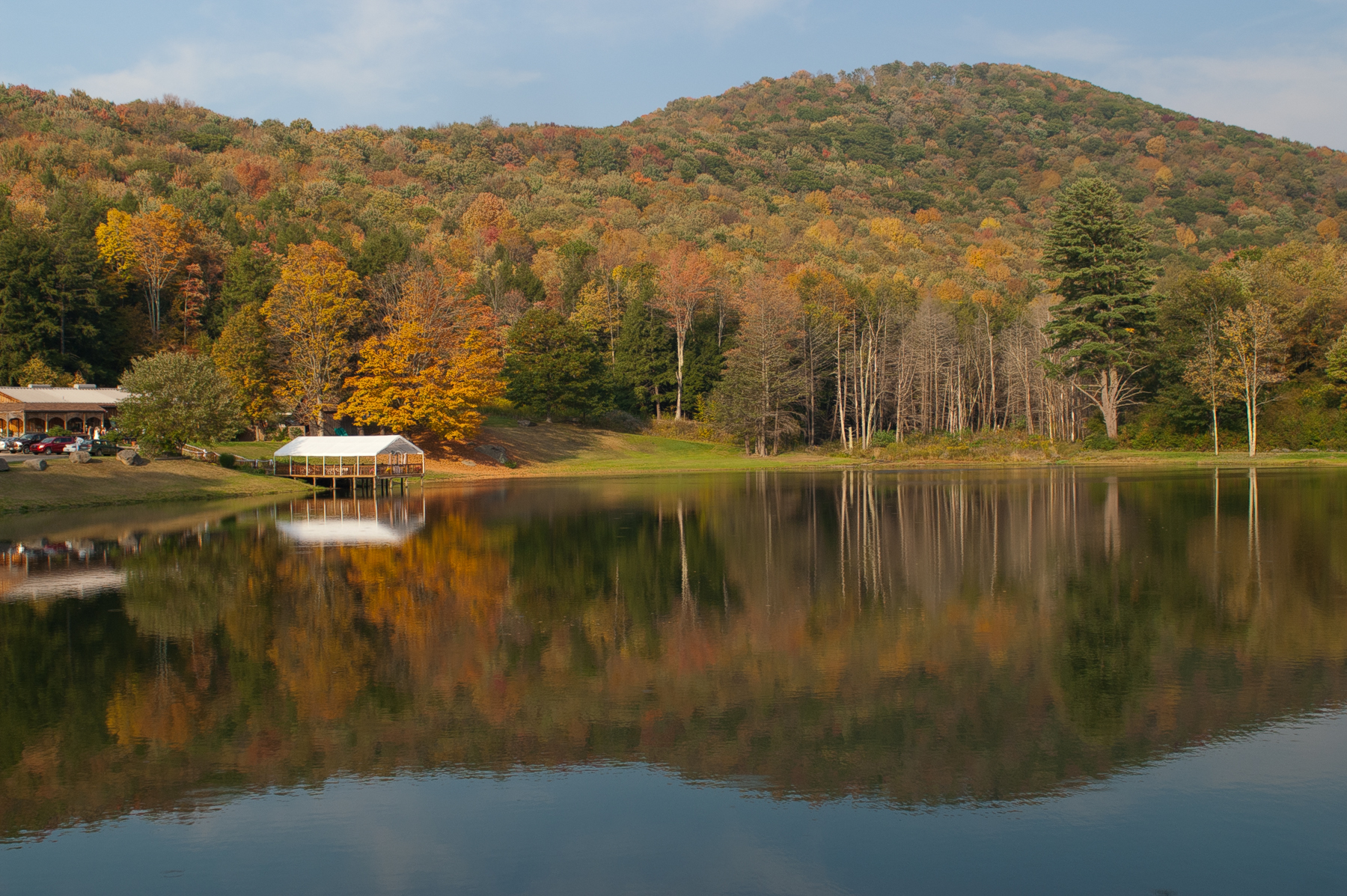
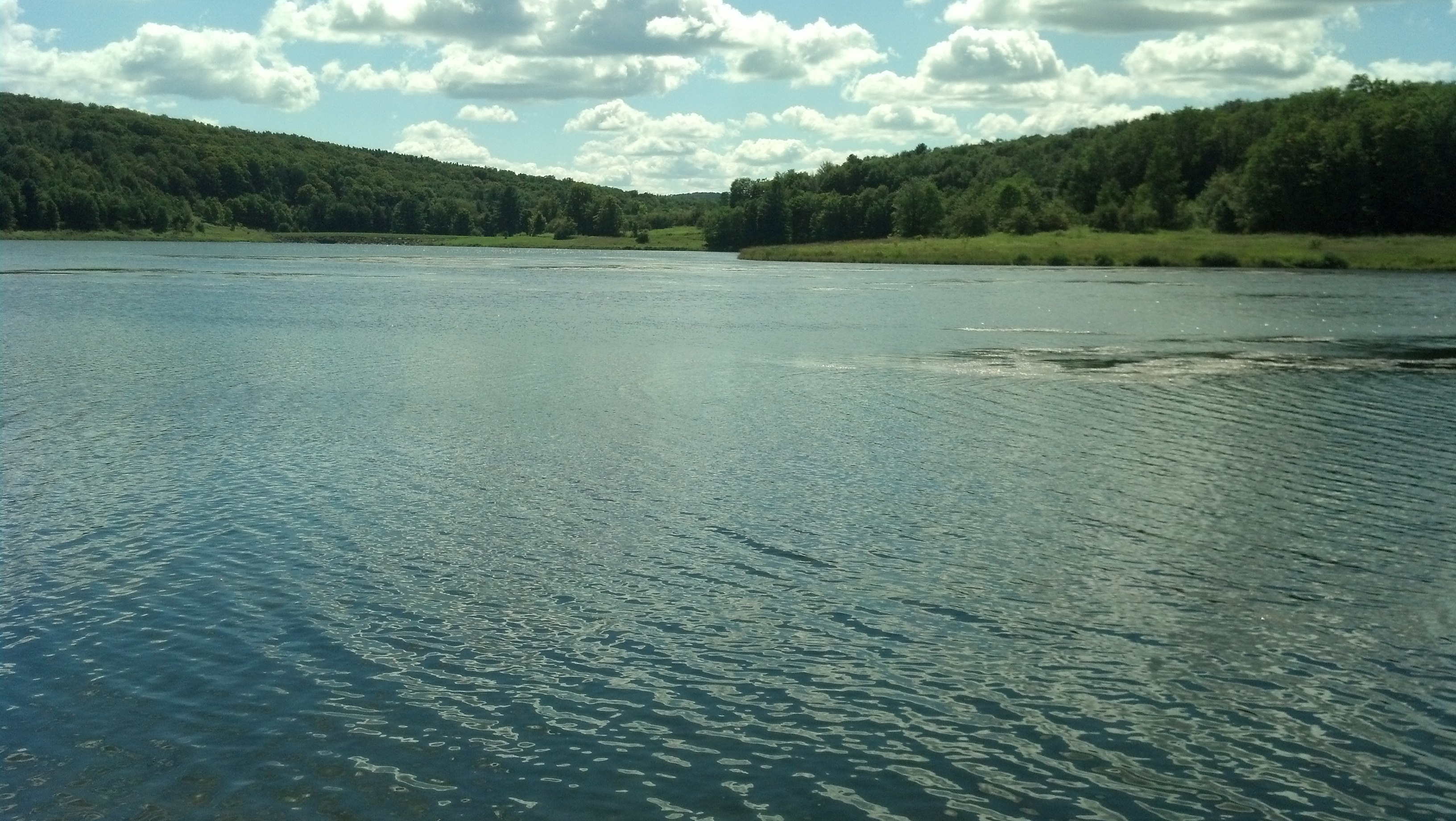
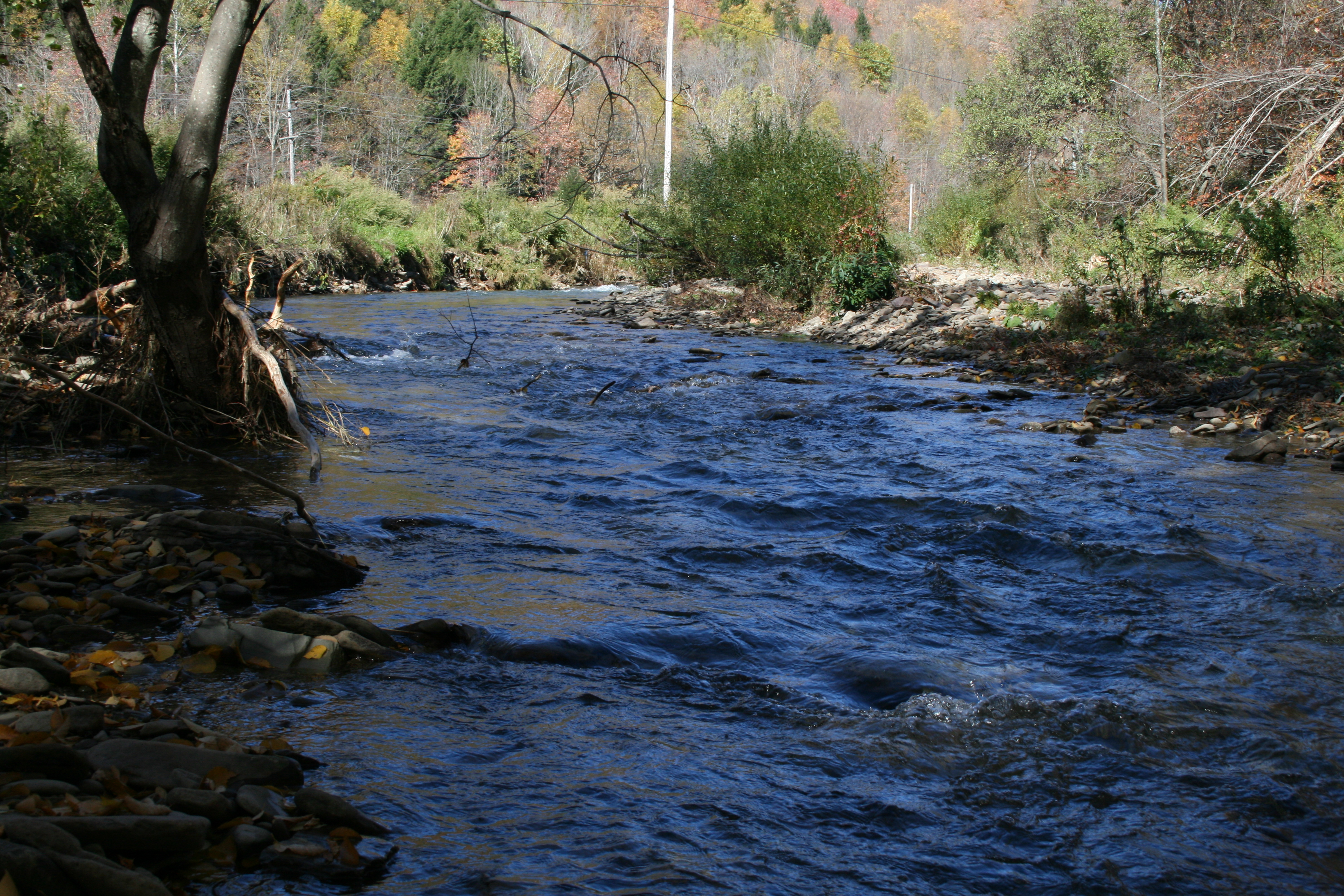
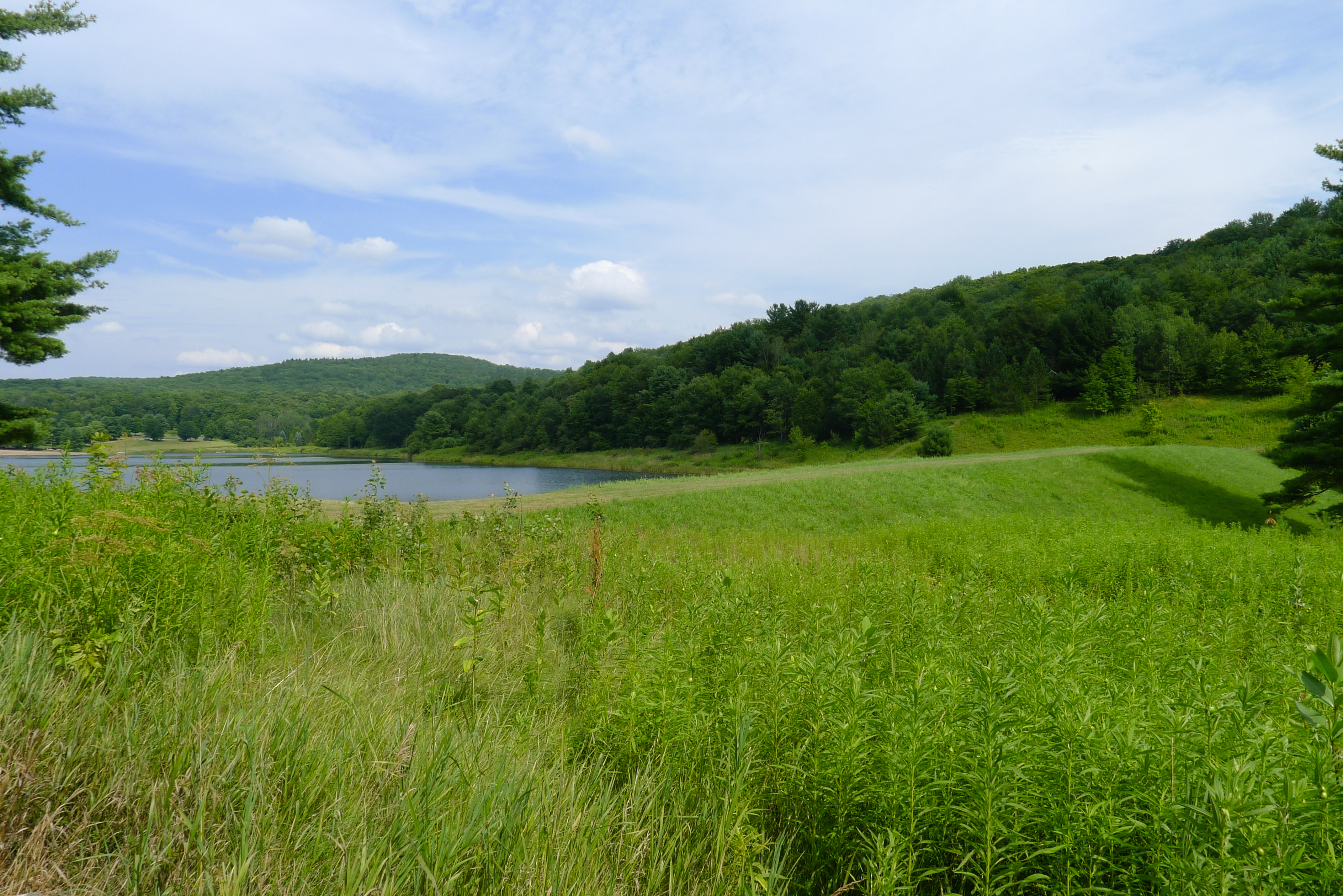
Related Photos:
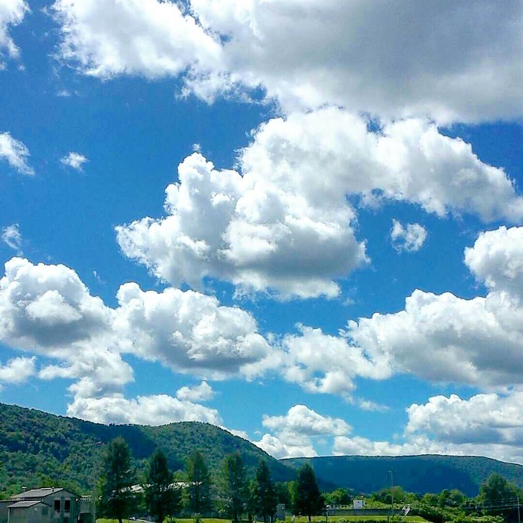
My #officeview today. Working at the Delaware County Fairgrounds. It's been a really long day but the #view is totally worth it. #cloudporn #clouds

Frog Prince - On the Queen's Throne

DJI_0156_View from a drone. Reflections on the Canonsville Reservoir.
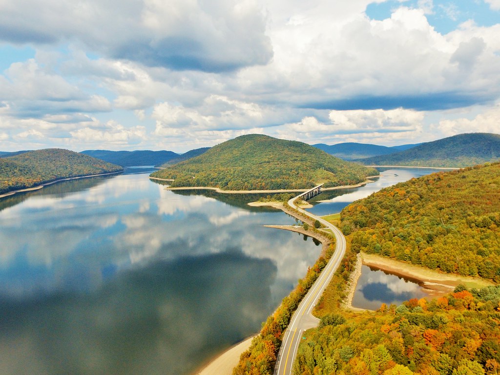
DJI_0152_View from the drone. Reflections on the water of the Canonsville Reservoir.
Pond.jpg

Friday night dinner
20100924 214
20100924 213
Arctic Lake
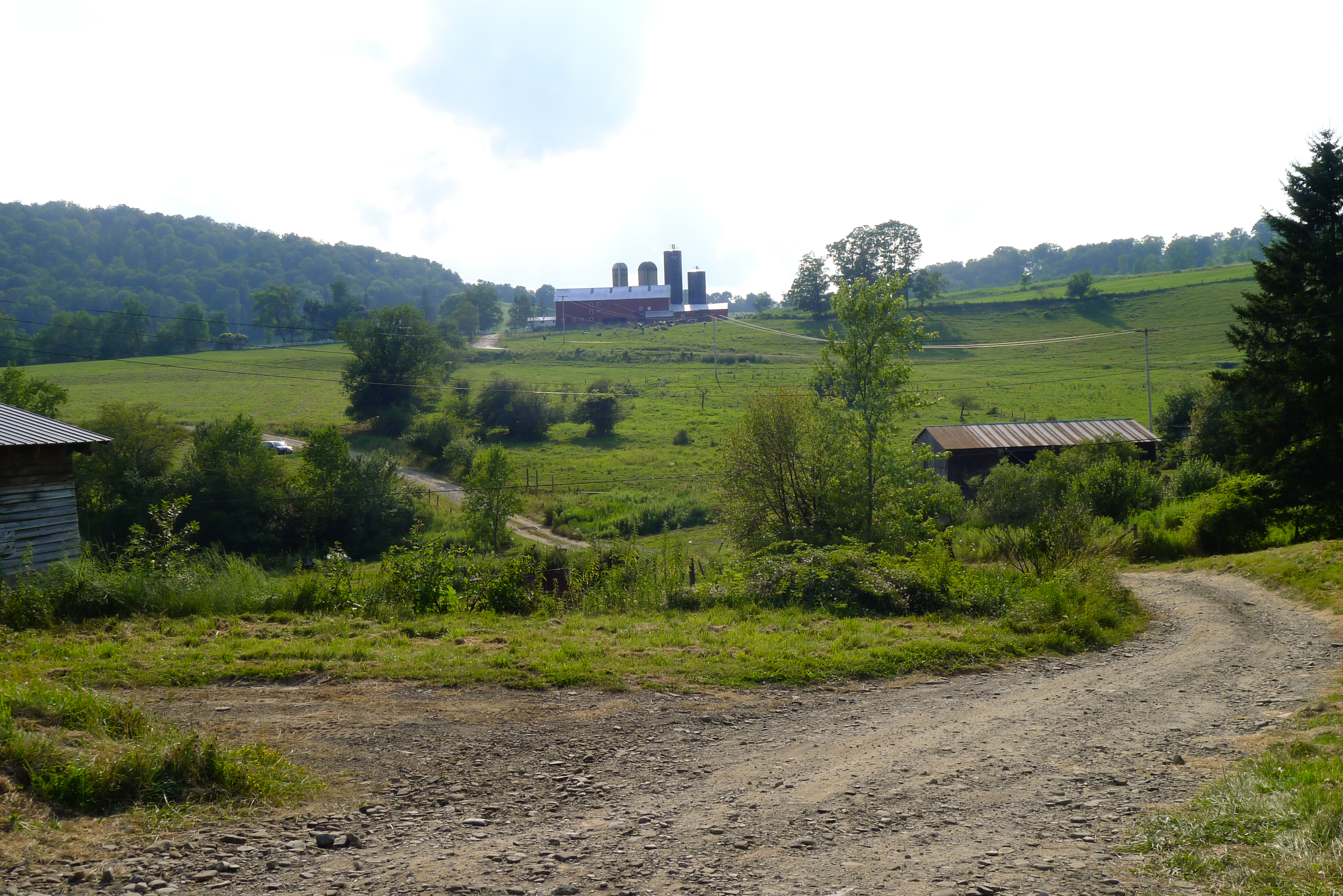
upstate 2010 columbus day 163
earthen dam
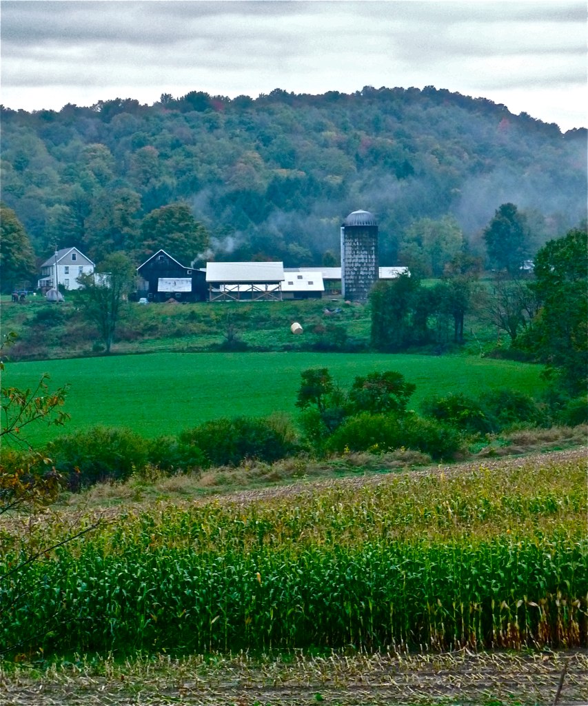
Walton Farm 2

Snow Angel
Dave's driveway
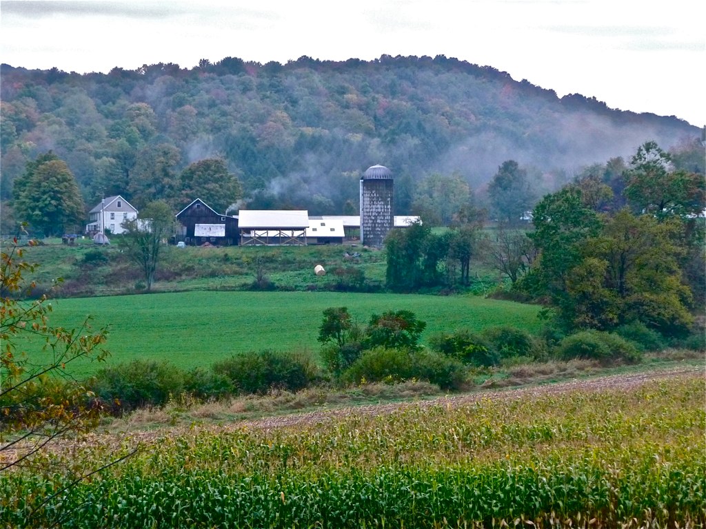
Walton Farm 1
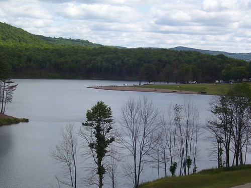
East Sidney Lake

I Just Missed It

May 19 (140/366)
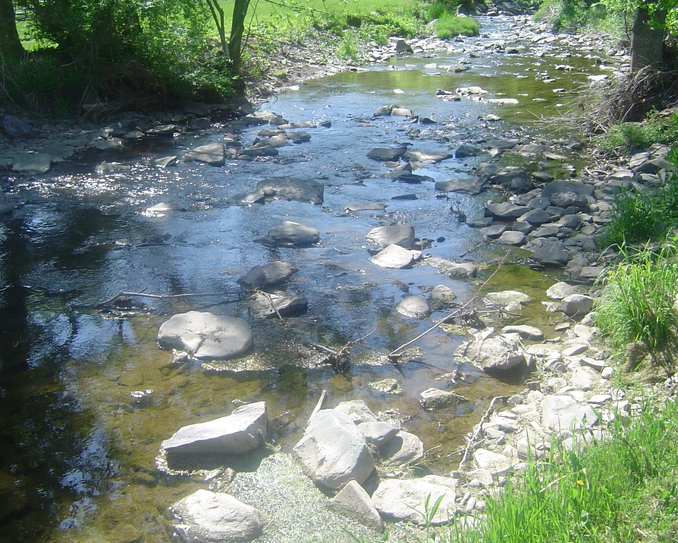
Old Stream

da beach
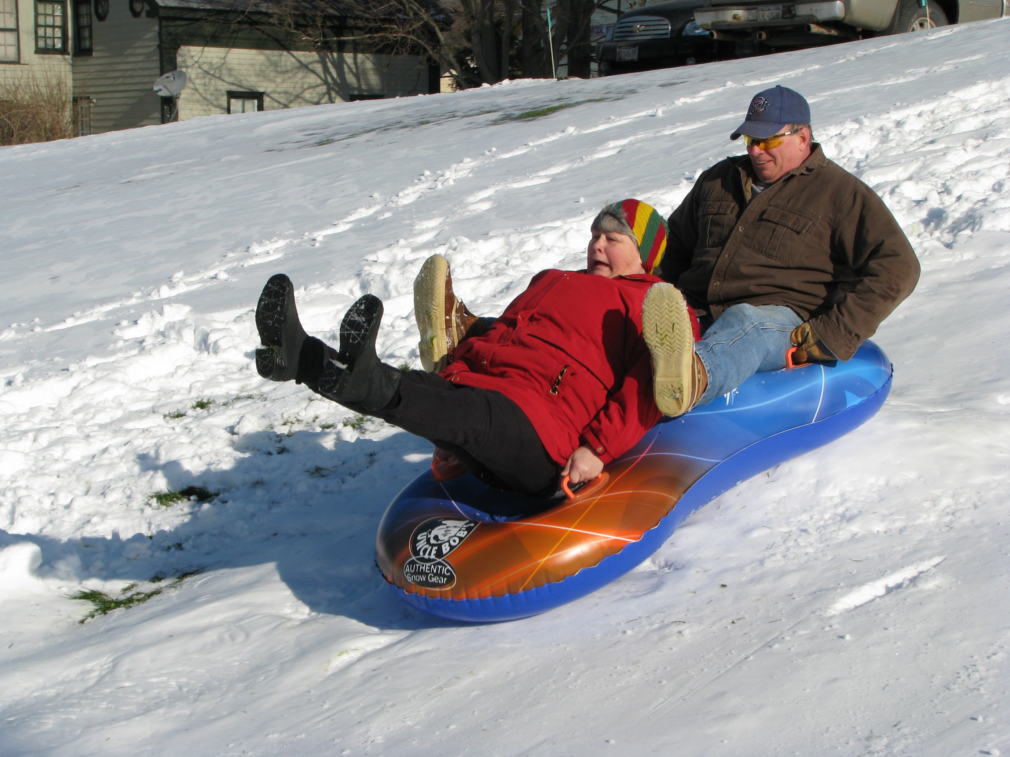
Bingo!
Topographic Map of Trout Creek, NY, USA
Find elevation by address:

Places near Trout Creek, NY, USA:
NY-, Sidney Center, NY, USA
1660 Pine Swamp Rd
Co Rd 27, Sidney Center, NY, USA
4615 Masonville-sidney Center Rd
2-16 Cuyle Rd
Masonville
Sidney Center
69 Jay St
25 Vandervort Hill Rd
Rd 13, Unadilla, NY, USA
Sidney
14235 Co Rd 23
Woodland Road
Osmanli Dergah
Co Rd 23, Unadilla, NY, USA
29 Watson St
Unadilla
Unadilla Diner
Main Street
New York 7 & Butternut Road
Recent Searches:
- Elevation of Congressional Dr, Stevensville, MD, USA
- Elevation of Bellview Rd, McLean, VA, USA
- Elevation of Stage Island Rd, Chatham, MA, USA
- Elevation of Shibuya Scramble Crossing, 21 Udagawacho, Shibuya City, Tokyo -, Japan
- Elevation of Jadagoniai, Kaunas District Municipality, Lithuania
- Elevation of Pagonija rock, Kranto 7-oji g. 8"N, Kaunas, Lithuania
- Elevation of Co Rd 87, Jamestown, CO, USA
- Elevation of Tenjo, Cundinamarca, Colombia
- Elevation of Côte-des-Neiges, Montreal, QC H4A 3J6, Canada
- Elevation of Bobcat Dr, Helena, MT, USA