Elevation of Trice Cemetery Rd, Thomaston, GA, USA
Location: United States > Georgia > Upson County > Thomaston >
Longitude: -84.267060
Latitude: 32.8790159
Elevation: 213m / 699feet
Barometric Pressure: 99KPa
Elevation Map:
Satellite Map:
Related Photos:
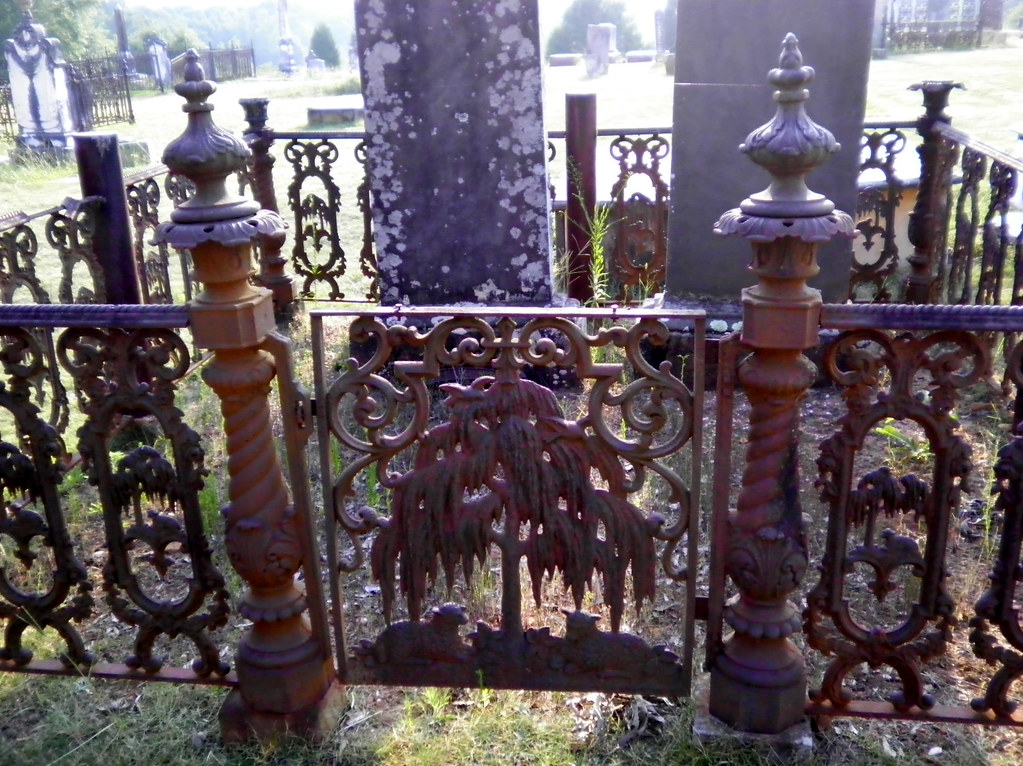
iPM6 Willow Gate with Fence

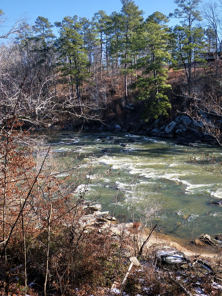
flint river
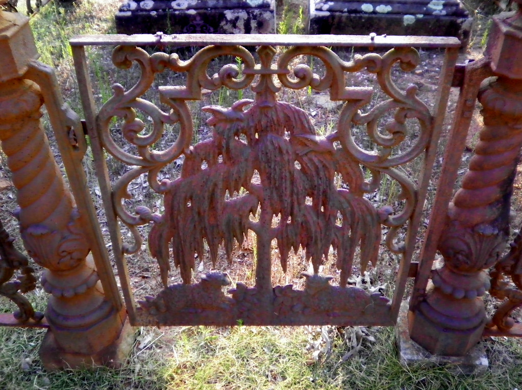
244/365: Willow Gate

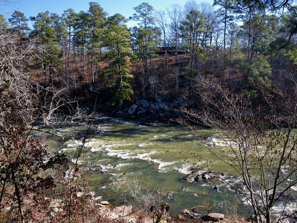
flint river
flint river
flint river
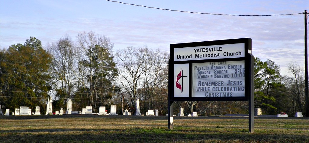
Yatesville United Methodist Church Cemetery
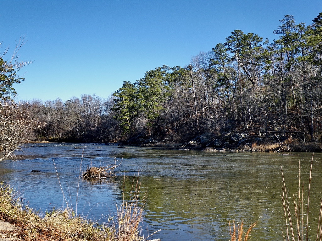
flint river
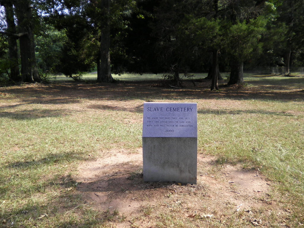
Slave Cemetery

Cunningham Junior High (Yatesville)
3:35 PM : November 11 2015
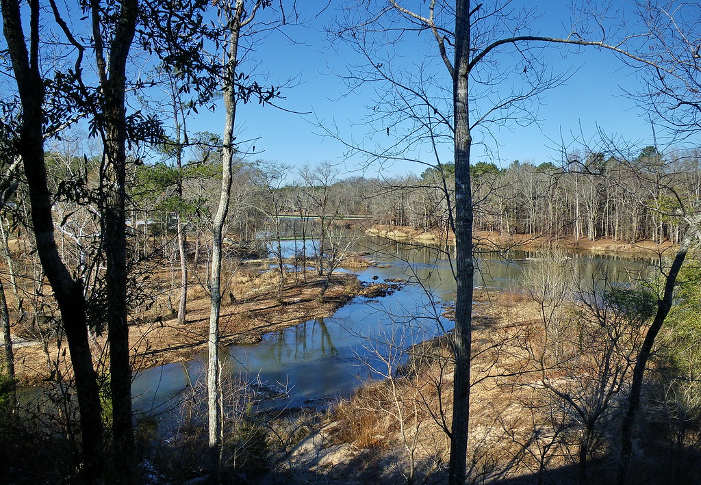
flint river

Culloden City Cemetery From The Road

flint river

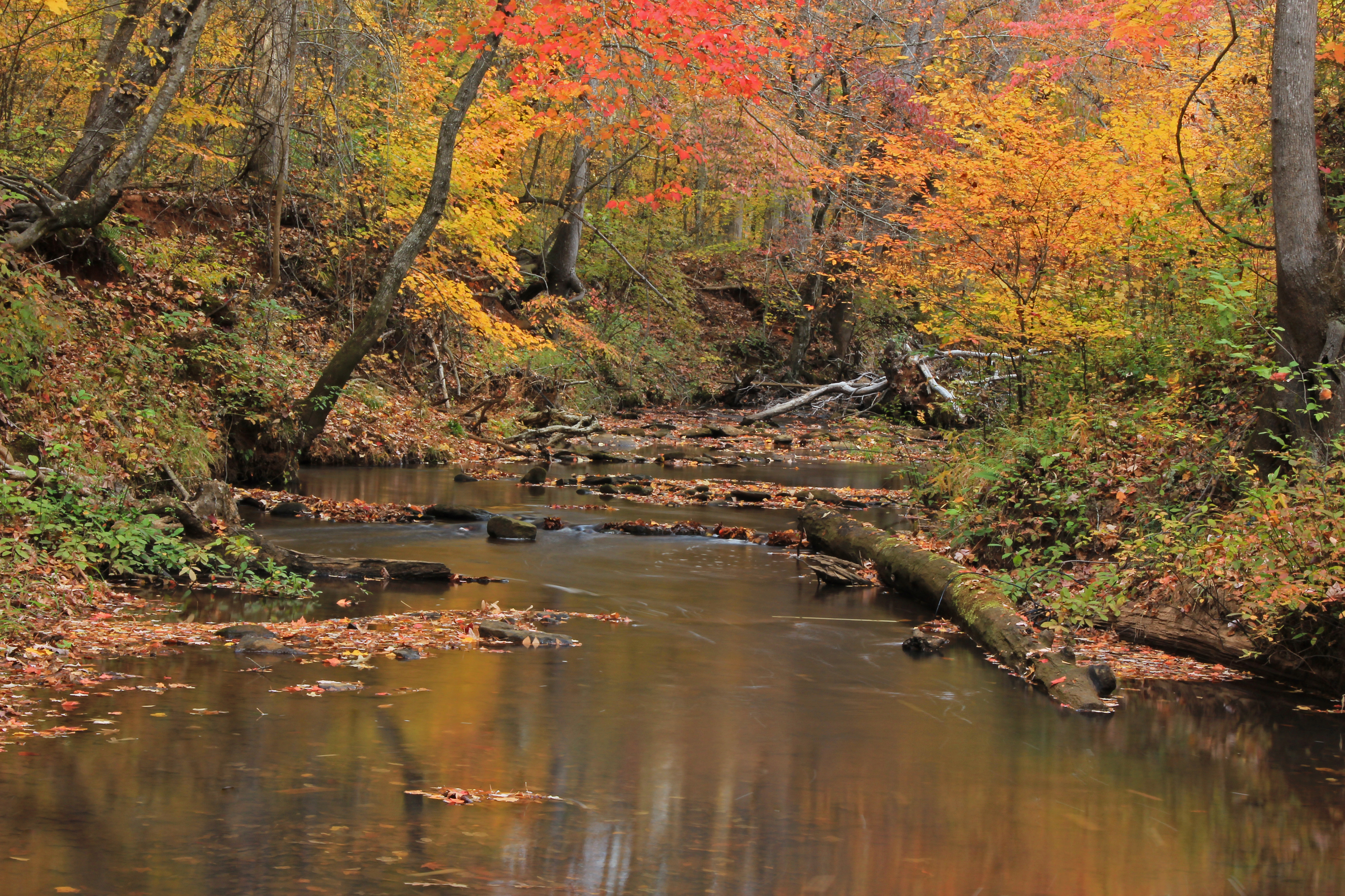
View from Inside the Auchumkee Creek Covered Bridge, near Thomaston. 2005 Bicycle Ride Across Georgia.

Greener Pastures
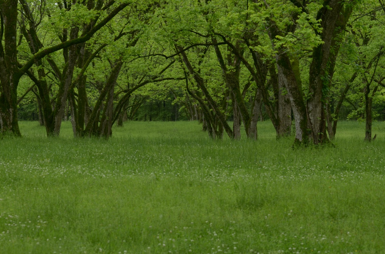
Pecan Orchard in Spring
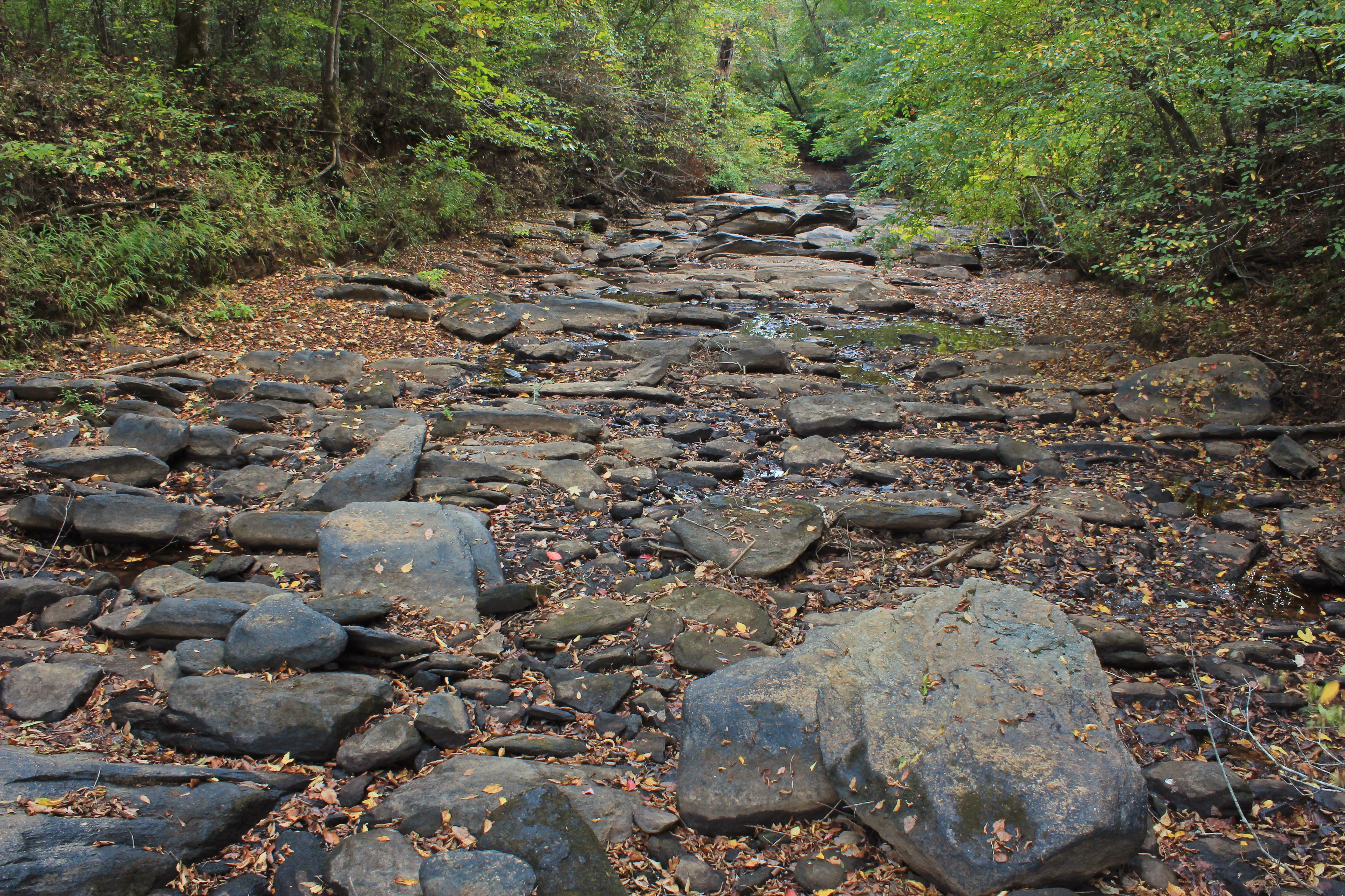
Jerry Reeves Creek, upstream of Highway 36, U.S.G.S. sample site, Upson County, Georgia 3
Threemile Creek, unit 2, U.S.G.S. sample site, Pike County, Georgia 1
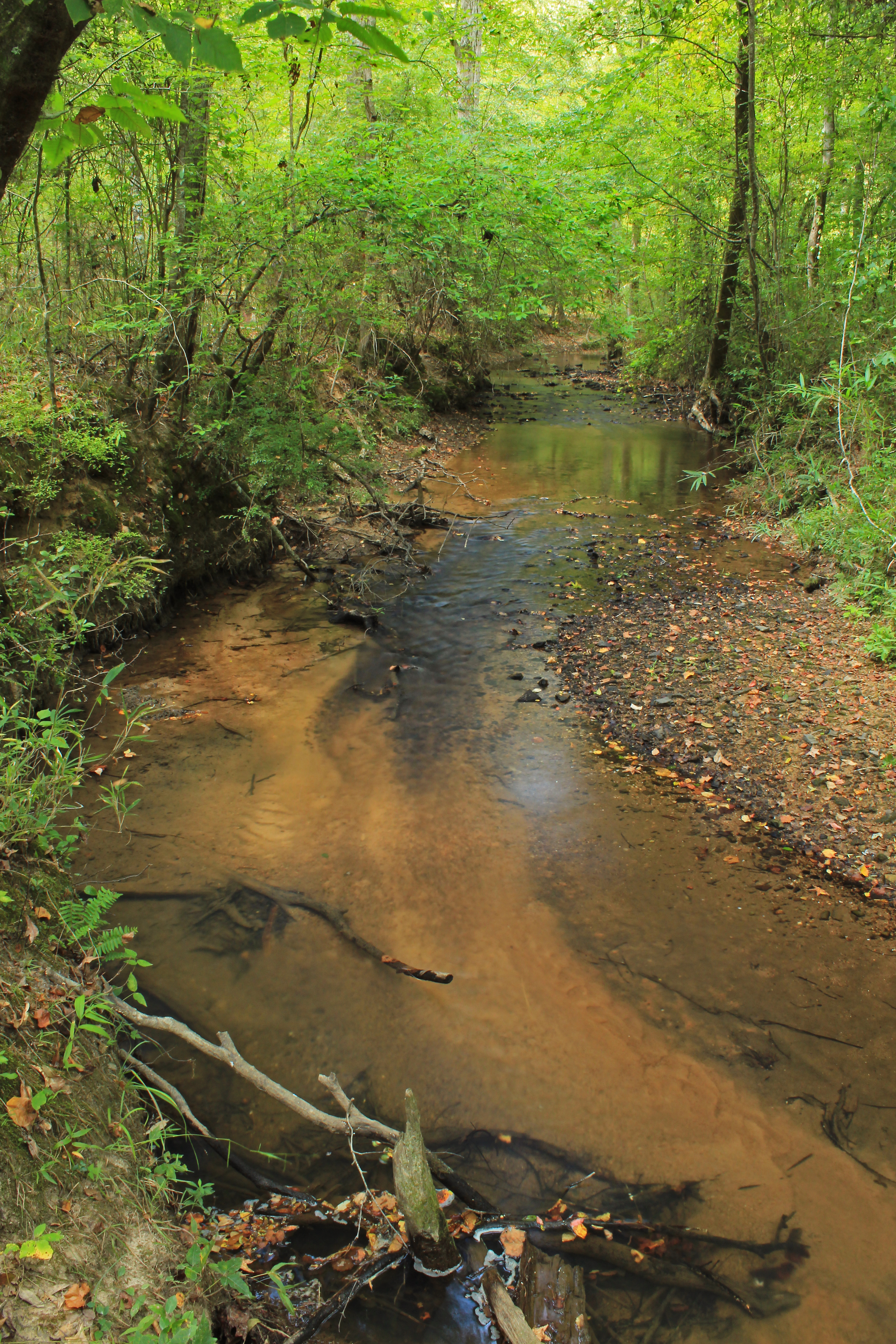
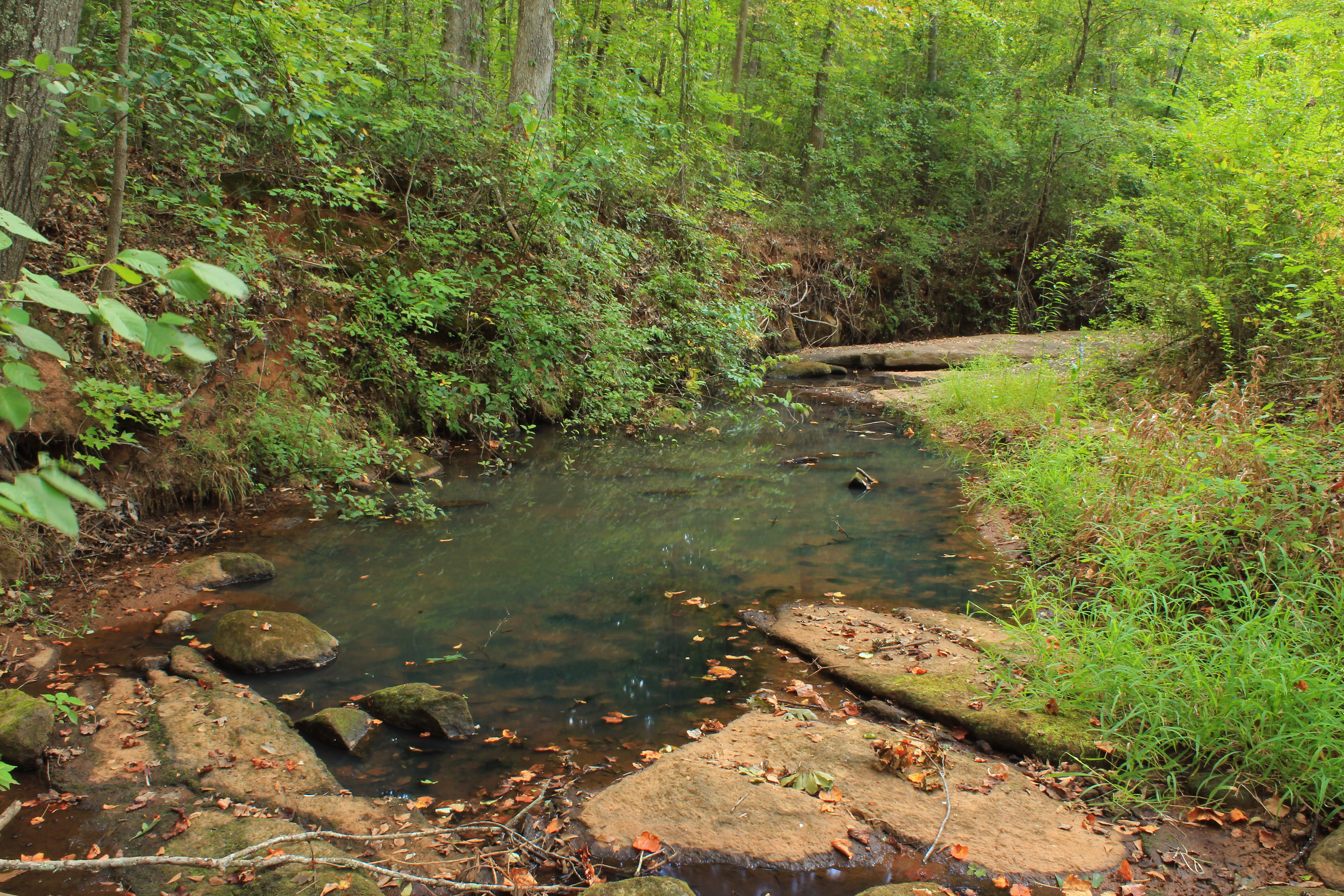
Auchumpkee Creek, below Auchumpkee Creek Covered Bridge, Upson County, Georgia 1
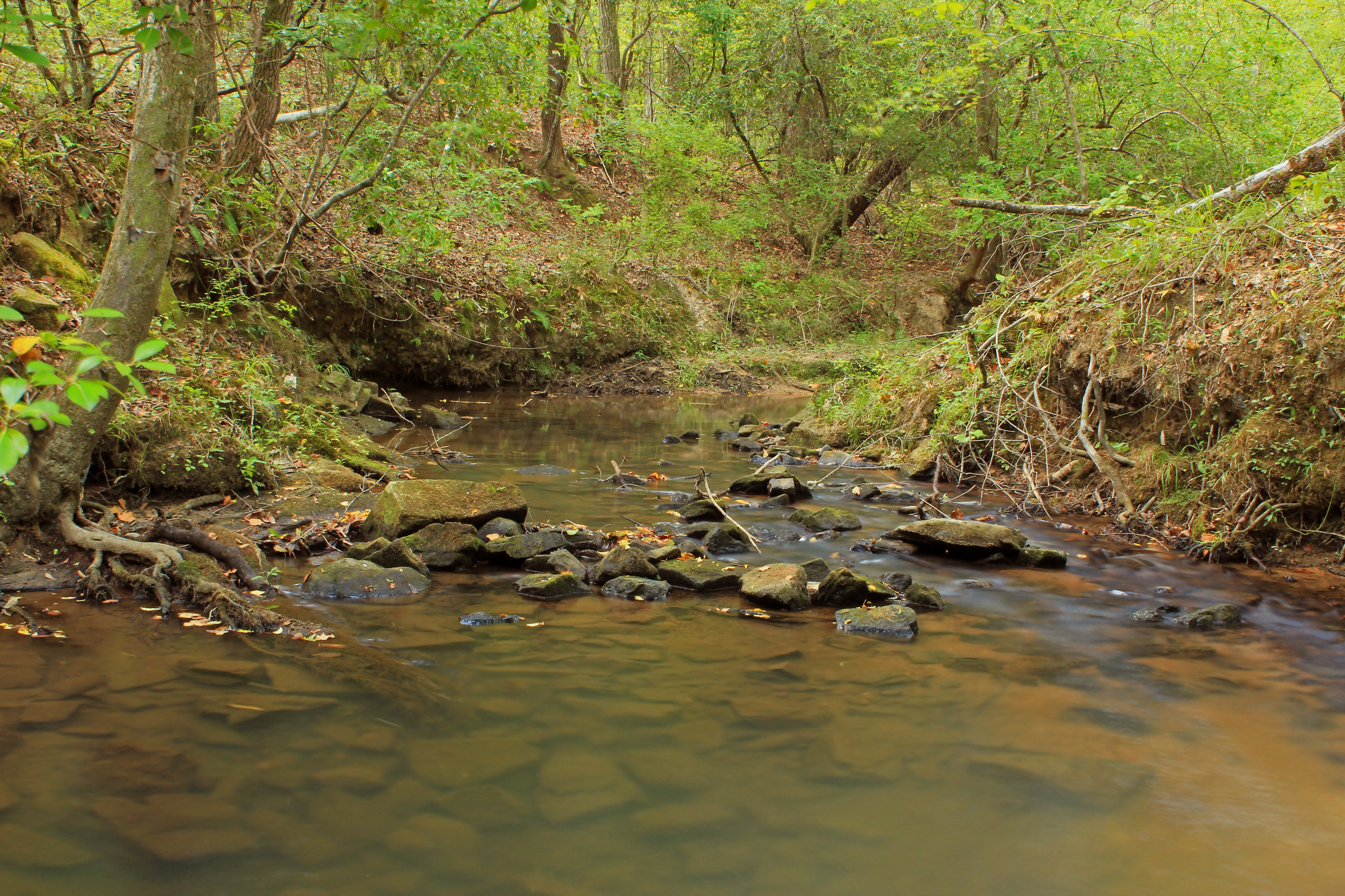
Rose Creek, unit 2, U.S.G.S. sample site, Upson County, Georgia 4

Threemile Creek, unit 3, U.S.G.S. sample site, Pike County, Georgia 1

flint river
Threemile Creek, unit 3, U.S.G.S. sample site, Pike County, Georgia 2

Cunningham Junior High (Yatesville)
Topographic Map of Trice Cemetery Rd, Thomaston, GA, USA
Find elevation by address:

Places near Trice Cemetery Rd, Thomaston, GA, USA:
1170 Triune Mill Rd
Barnesville Highway, Thomaston, GA, USA
Upson County
Upson County
Upson County
Upson County
Upson County
Upson County
Upson County
Upson County
Upson County
Upson County
Upson County
Upson County
Upson County
Upson County
Upson County
Upson County
Upson County
207 E Thompson St
Recent Searches:
- Elevation of Elwyn Dr, Roanoke Rapids, NC, USA
- Elevation of Congressional Dr, Stevensville, MD, USA
- Elevation of Bellview Rd, McLean, VA, USA
- Elevation of Stage Island Rd, Chatham, MA, USA
- Elevation of Shibuya Scramble Crossing, 21 Udagawacho, Shibuya City, Tokyo -, Japan
- Elevation of Jadagoniai, Kaunas District Municipality, Lithuania
- Elevation of Pagonija rock, Kranto 7-oji g. 8"N, Kaunas, Lithuania
- Elevation of Co Rd 87, Jamestown, CO, USA
- Elevation of Tenjo, Cundinamarca, Colombia
- Elevation of Côte-des-Neiges, Montreal, QC H4A 3J6, Canada