Elevation of Trenton, AL, USA
Location: United States > Alabama > Jackson County >
Longitude: -86.251651
Latitude: 34.7448092
Elevation: 204m / 669feet
Barometric Pressure: 99KPa
Elevation Map:
Satellite Map:
Related Photos:
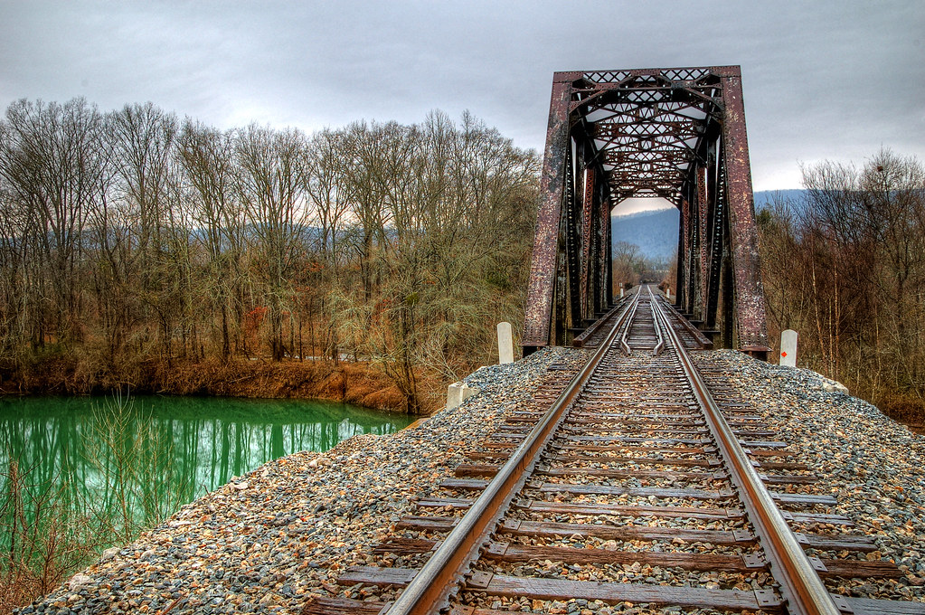
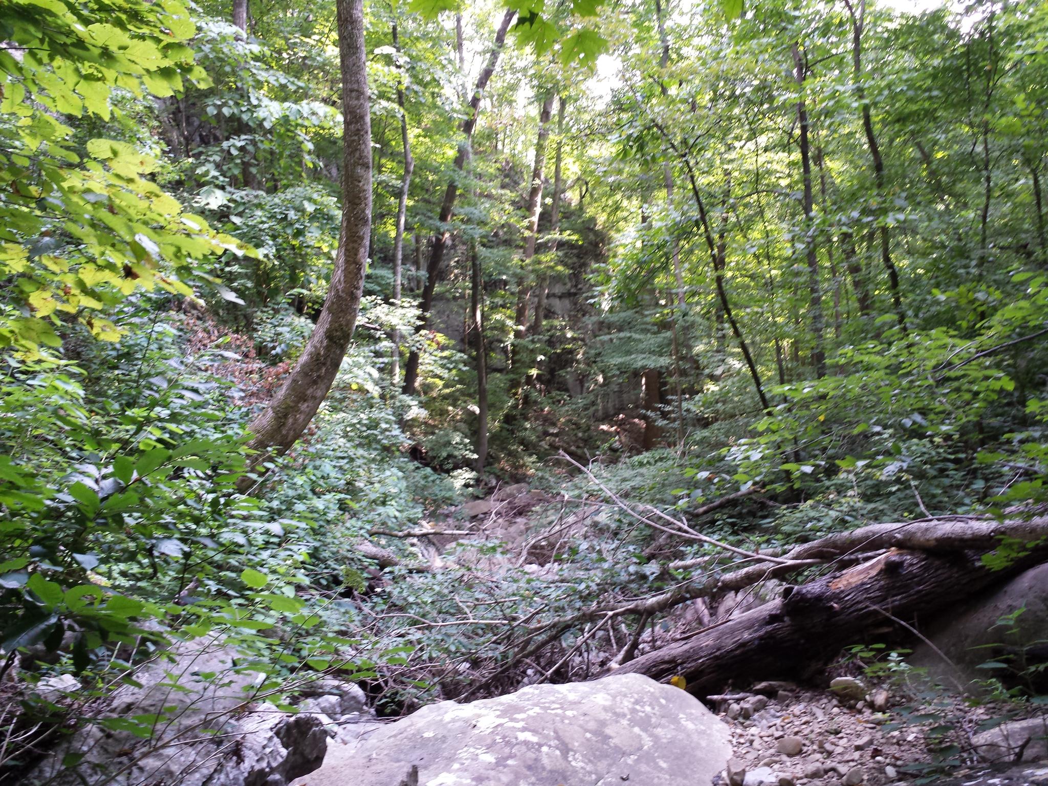
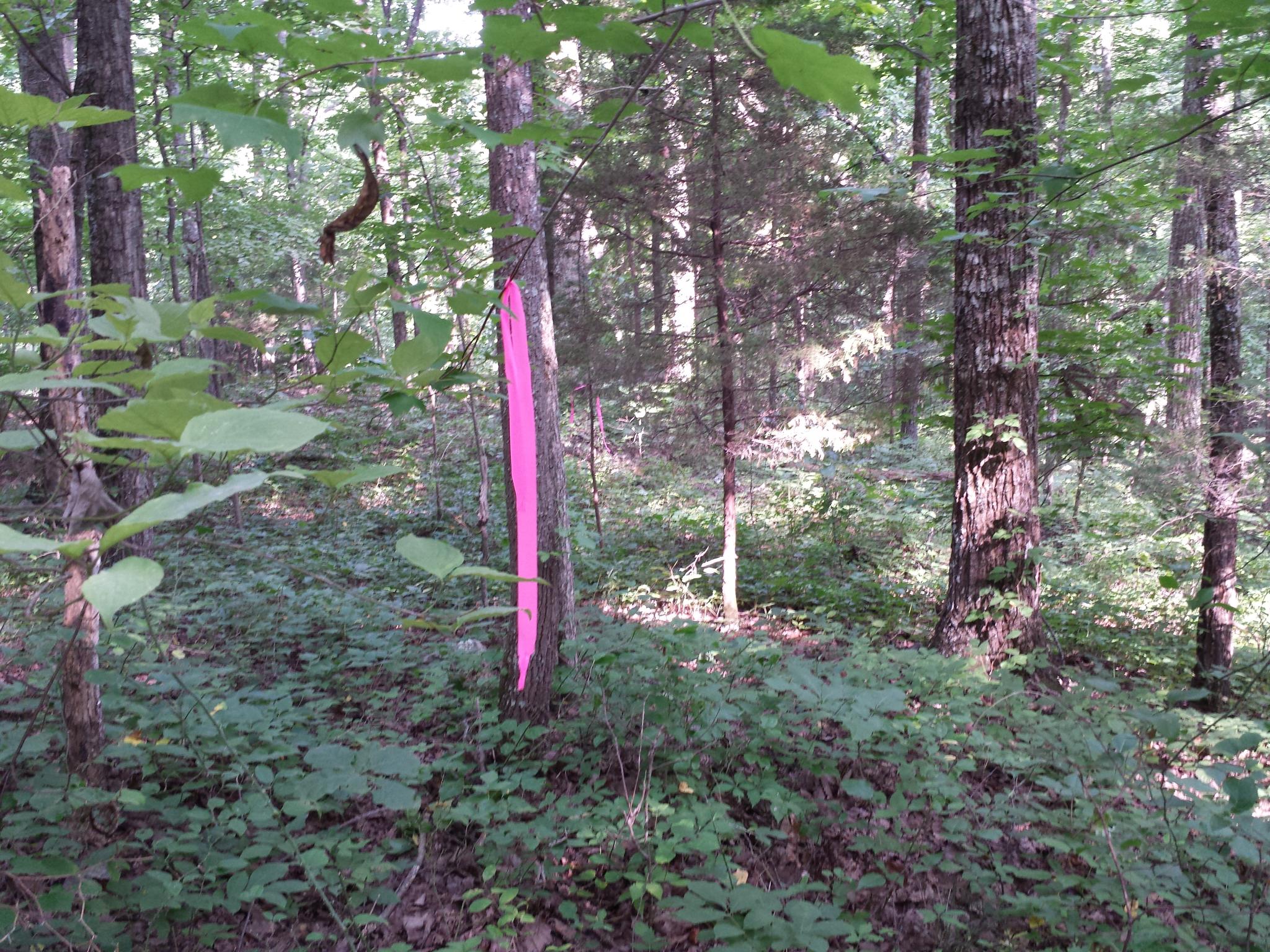
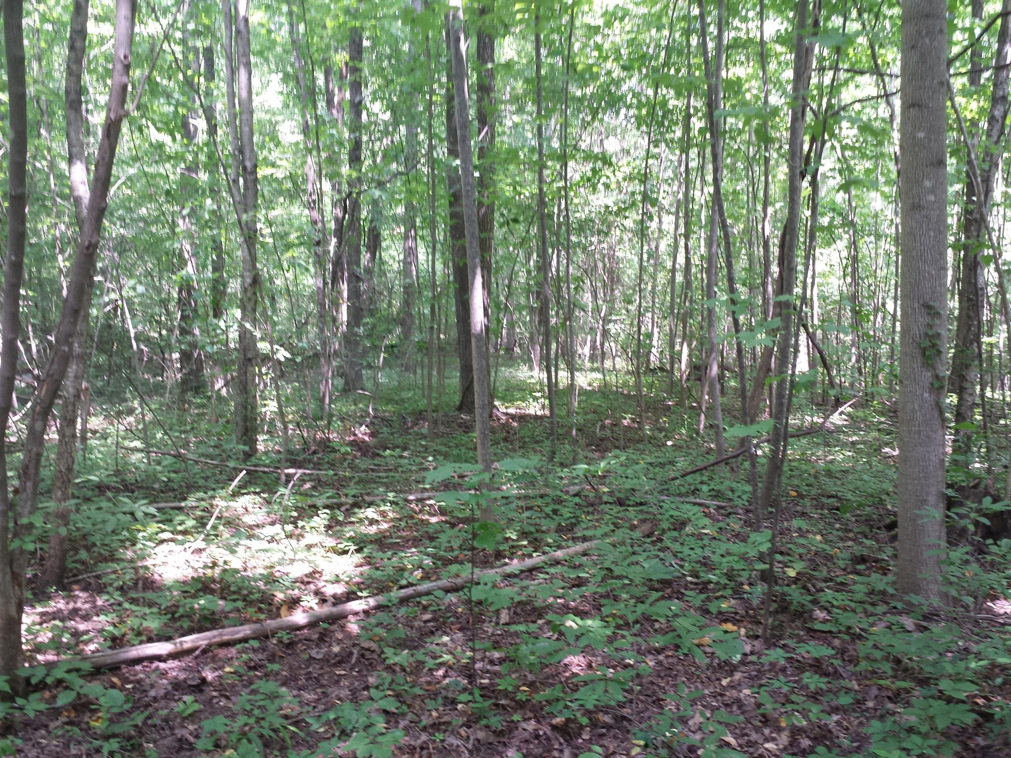
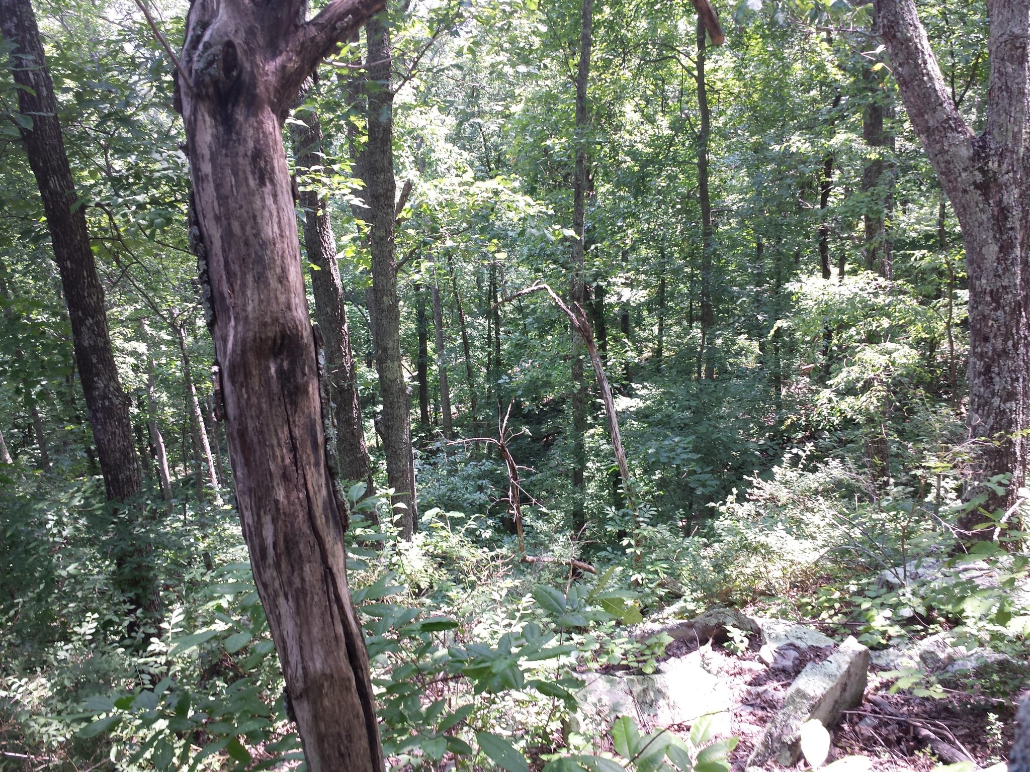
Green Lagoon
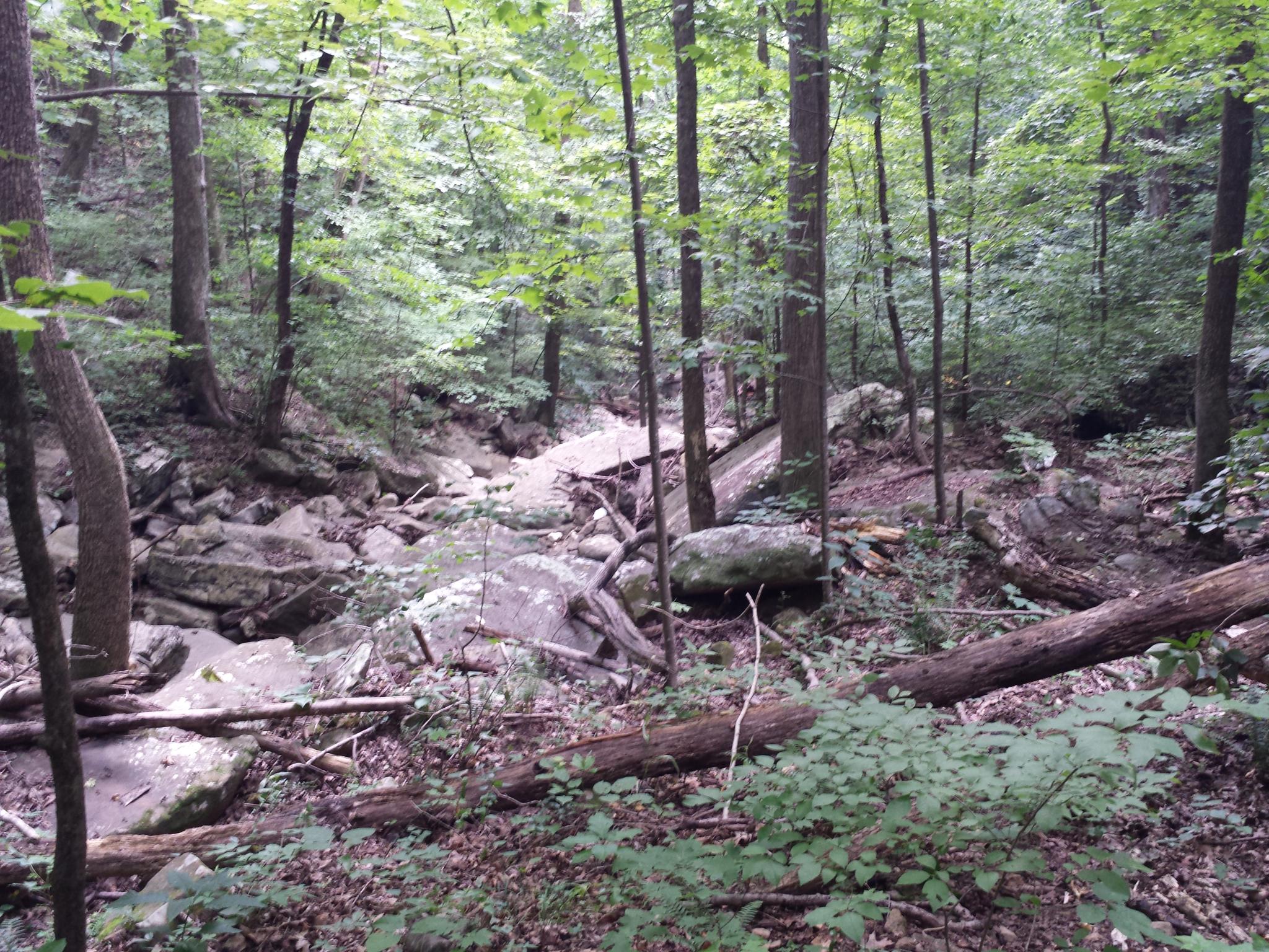
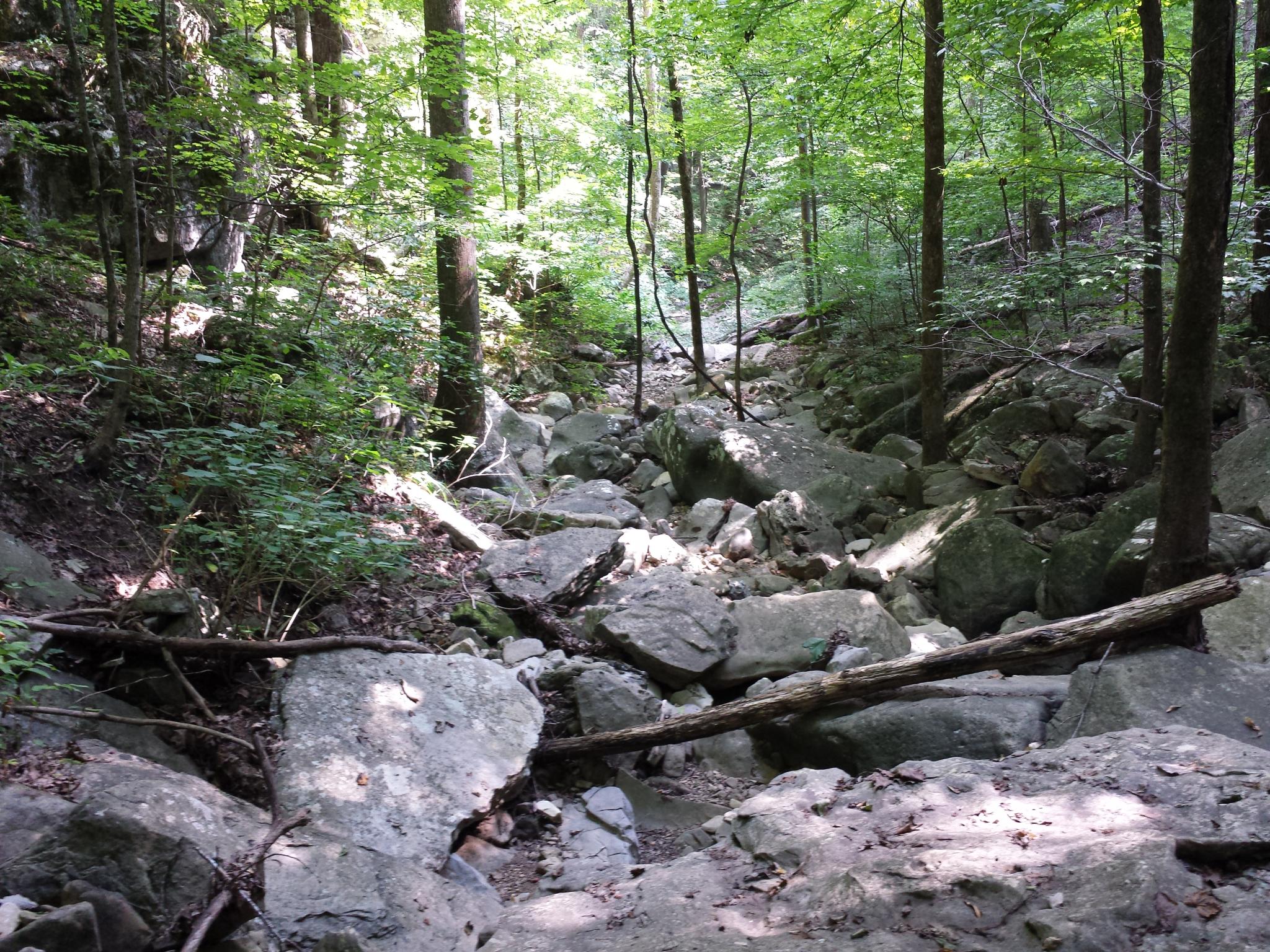
gurley-033
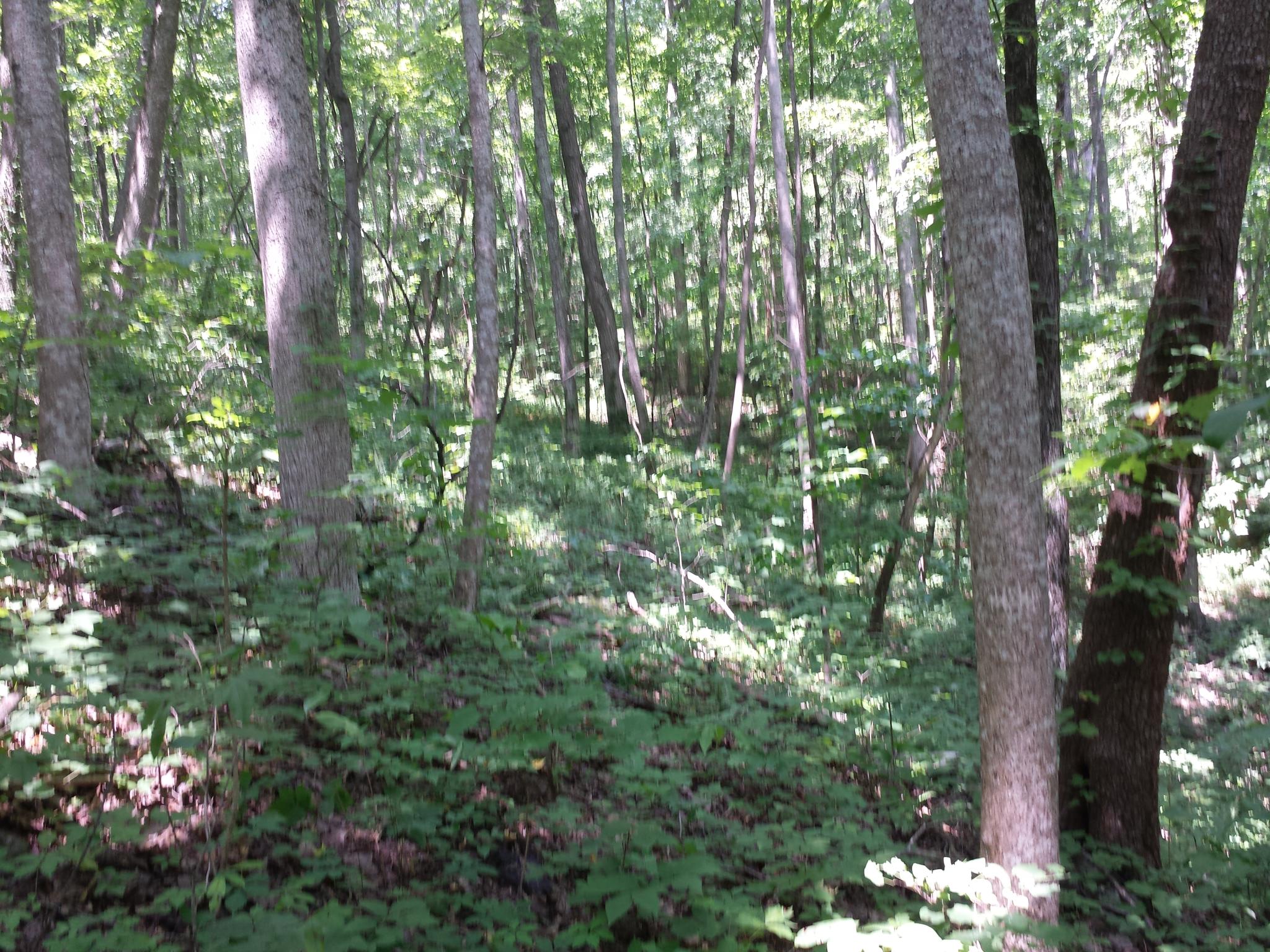
gurley-093
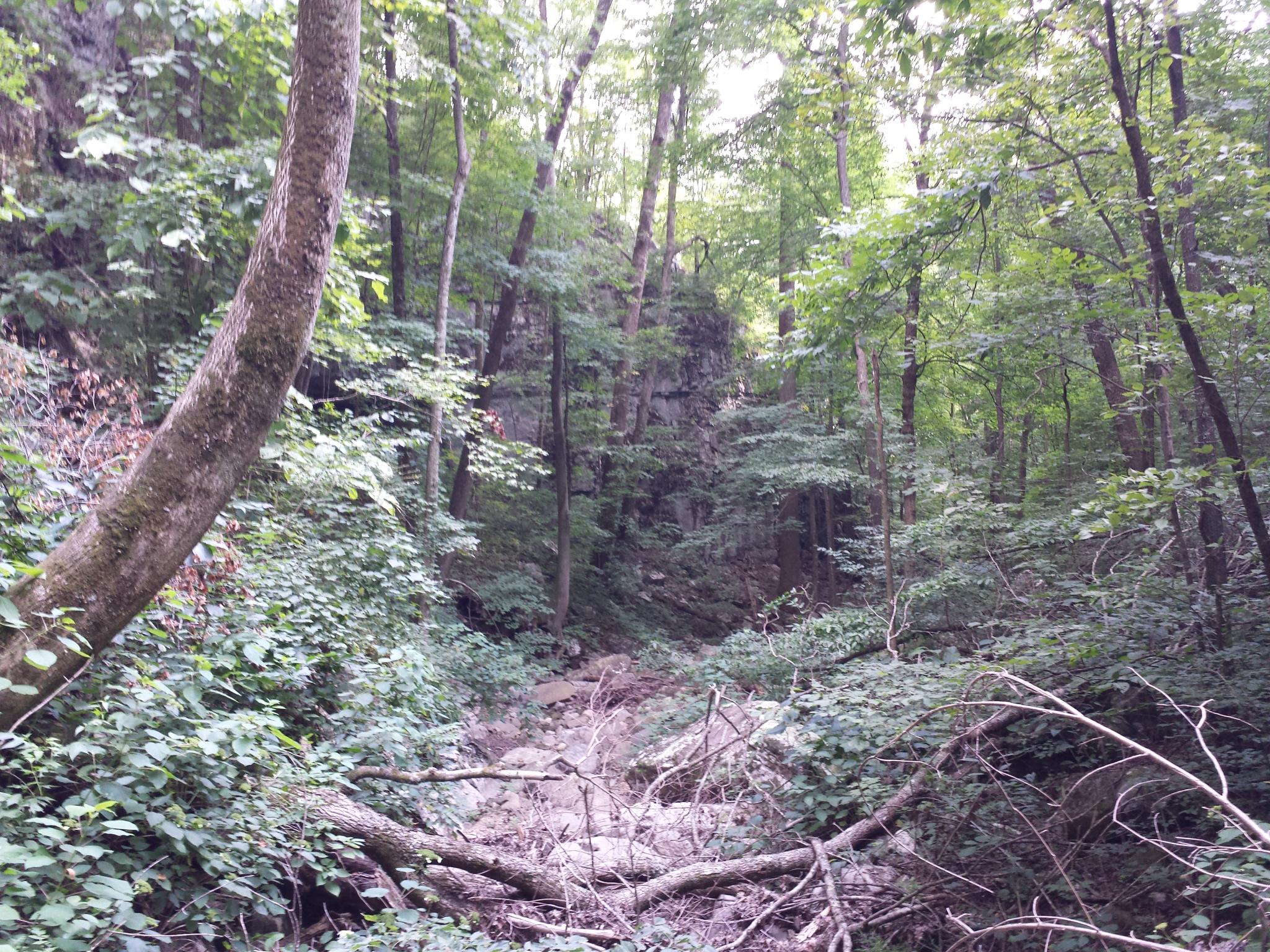
U.S. 72 Near Huntsville, Alabama

gurley-015

U.S. 72 Near Huntsville, Alabama

gurley-095
gurley-081
gurley-075
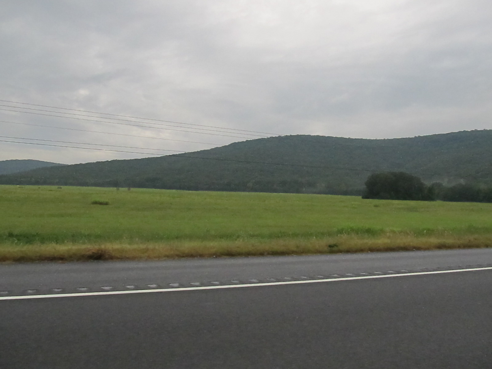
U.S. 72 Near Woodville, Alabama
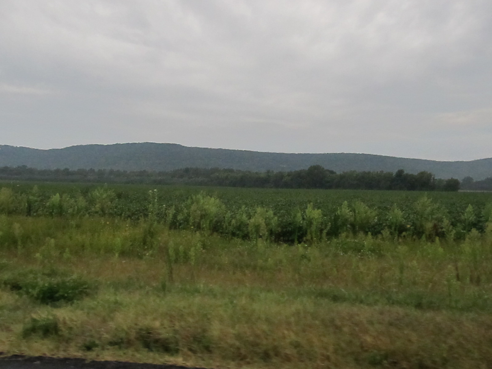
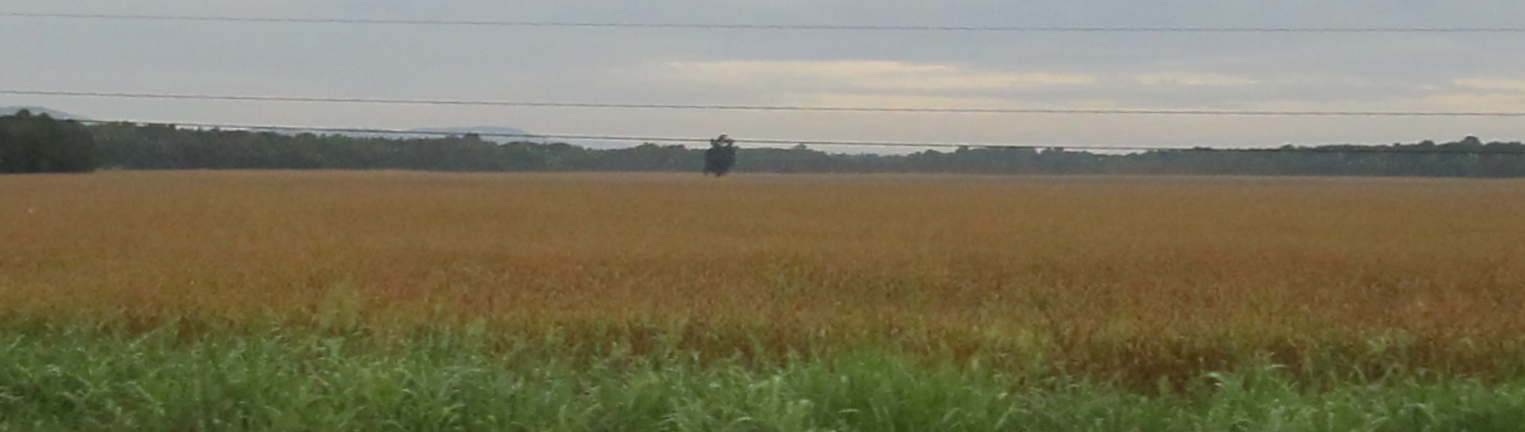
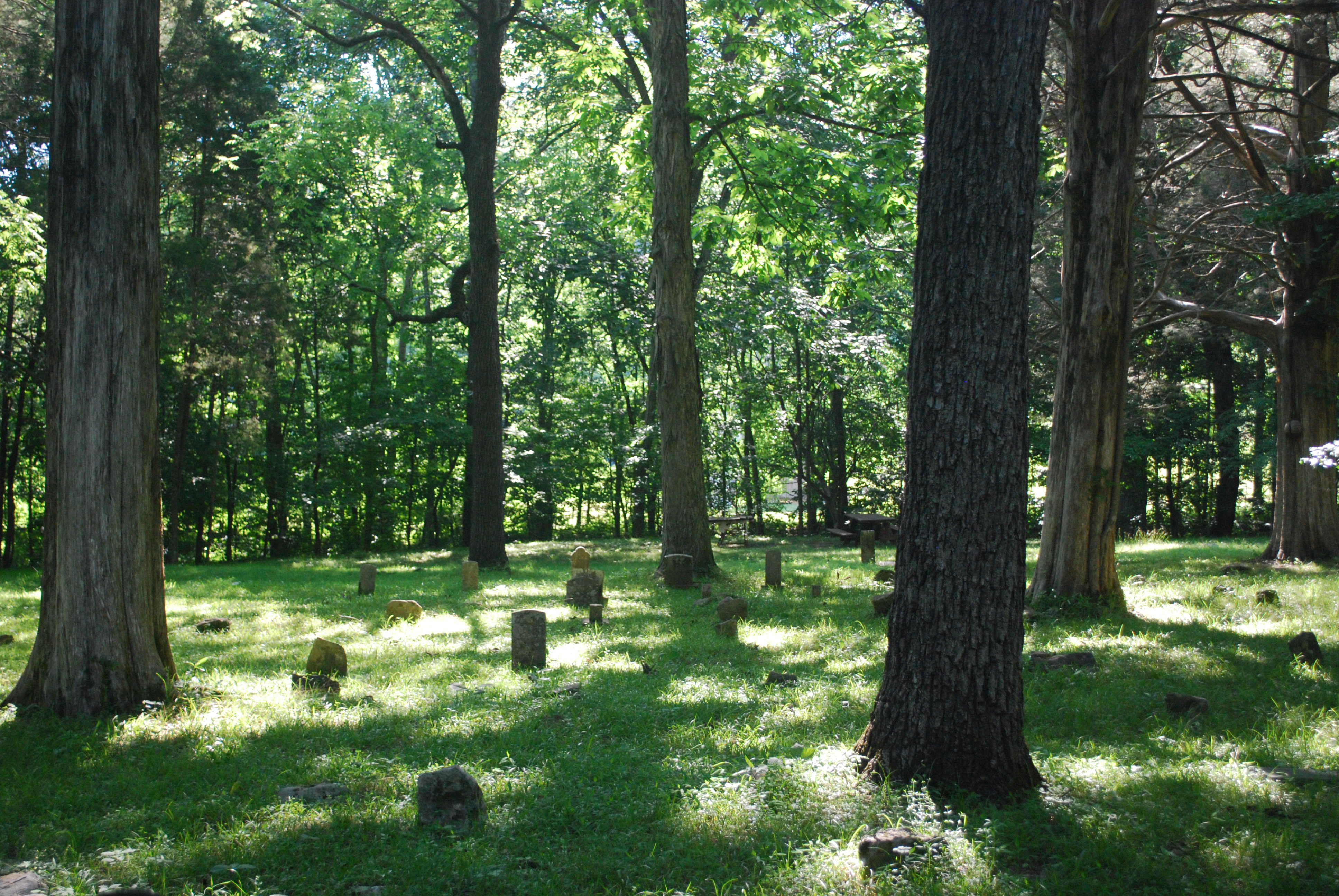
A Country Scene
U.S. 72 Near Huntsville, Alabama
gurley-092
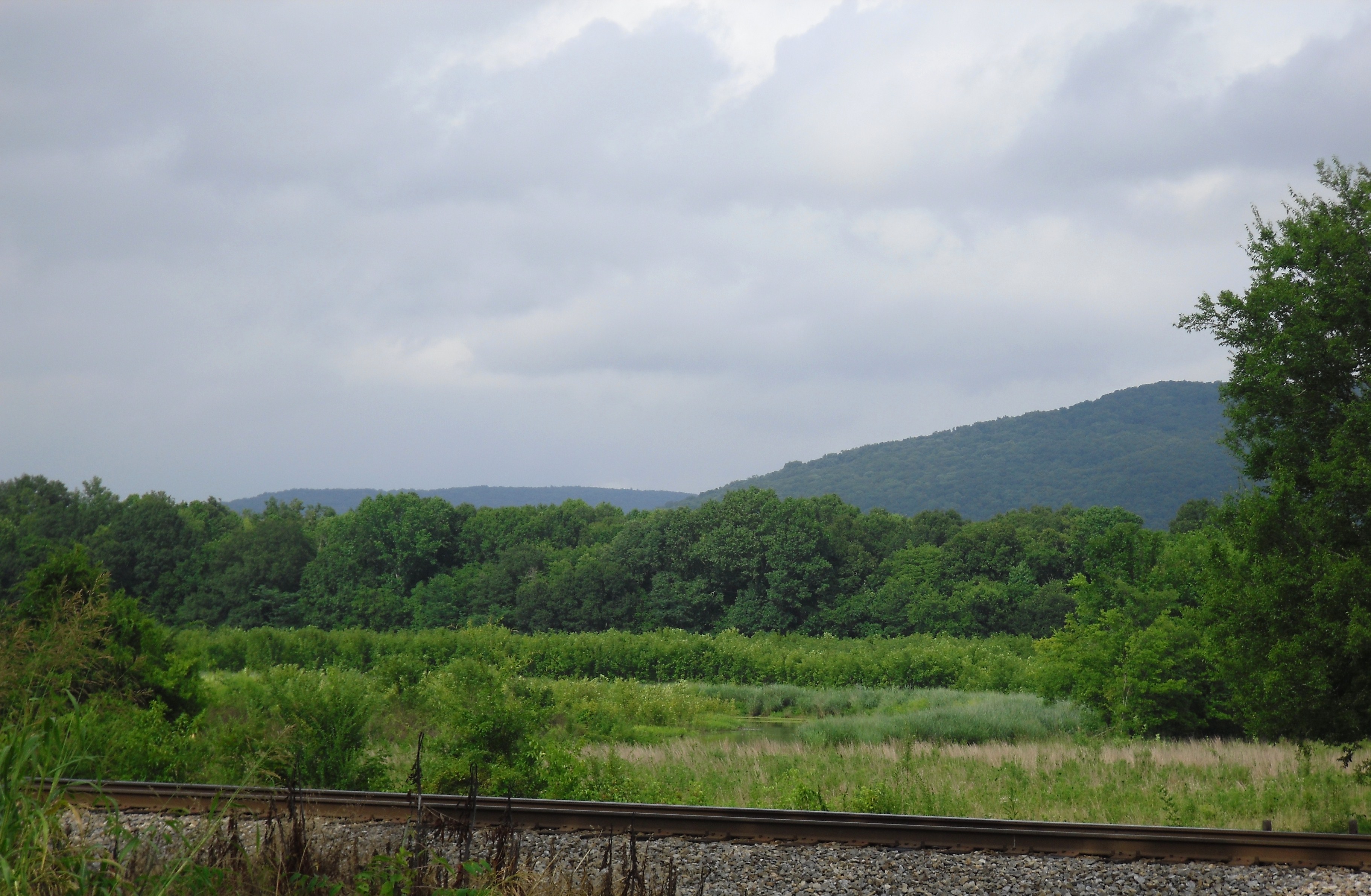
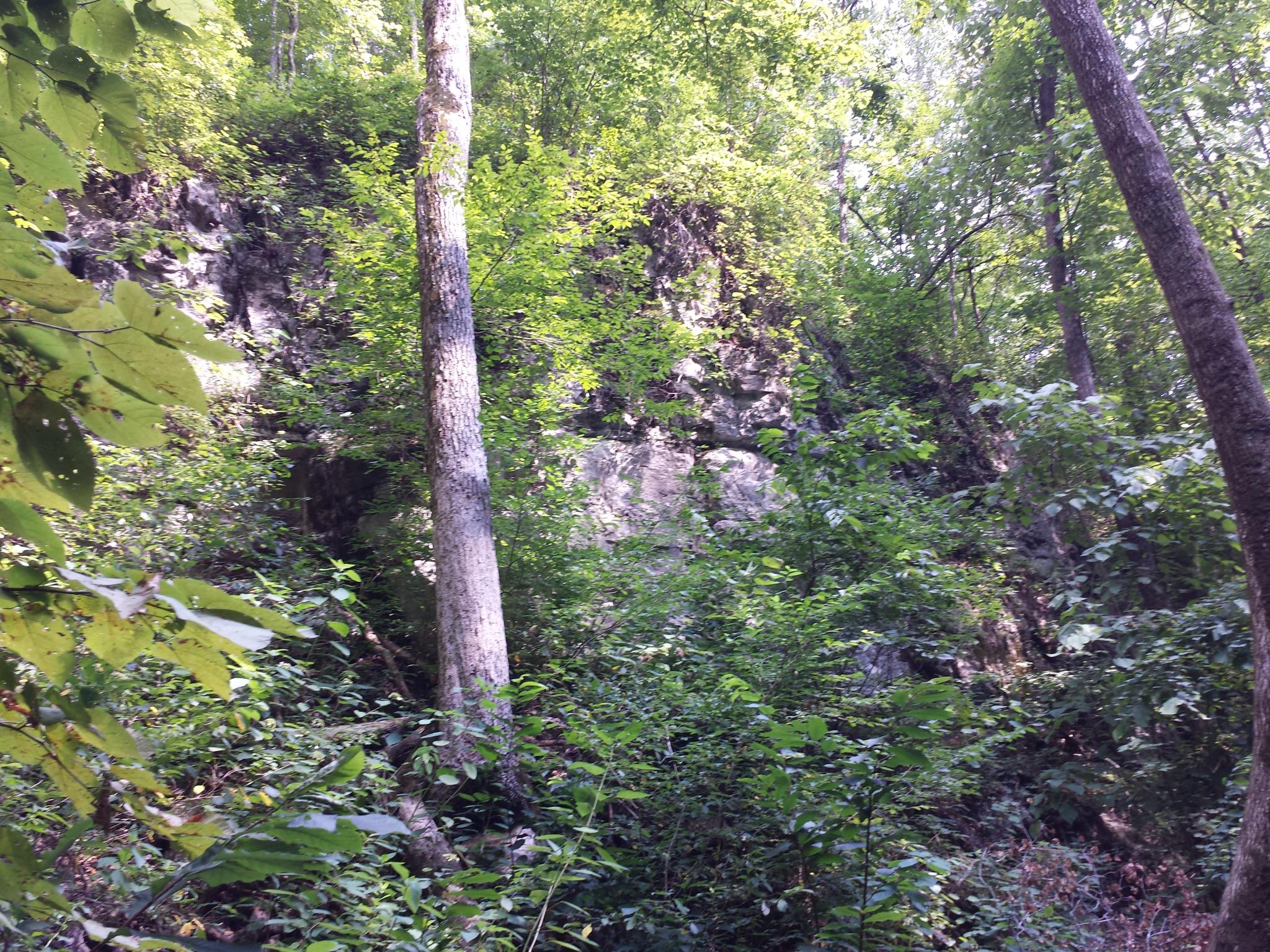
Green and Light

gurley-062
gurley-083
gurley-055
gurley-078
gurley-008
gurley-082
gurley-034
gurley-059
Topographic Map of Trenton, AL, USA
Find elevation by address:

Places near Trenton, AL, USA:
Co Rd 8, Woodville, AL, USA
Pleasant Groves
Hollytree
Co Rd 4, Hollytree, AL, USA
AL-65, Paint Rock, AL, USA
Paint Rock River
Co Rd 15, Woodville, AL, USA
105 Collins St
Paint Rock
44 Knolton St
Gurley Pike
Gurley
576 Shooting Star Tr
33 Croft Dr
Ryland Pike, Huntsville, AL, USA
Mcmullen Cove Guard House
Brownsboro
2805 Centerridge Rd Se
2707 Wenzel Cir Se
122 Delta Pine Dr
Recent Searches:
- Elevation of 7 Waterfall Way, Tomball, TX, USA
- Elevation of SW 57th Ave, Portland, OR, USA
- Elevation of Crocker Dr, Vacaville, CA, USA
- Elevation of Pu Ngaol Community Meeting Hall, HWHM+3X7, Krong Saen Monourom, Cambodia
- Elevation of Royal Ontario Museum, Queens Park, Toronto, ON M5S 2C6, Canada
- Elevation of Groblershoop, South Africa
- Elevation of Power Generation Enterprises | Industrial Diesel Generators, Oak Ave, Canyon Country, CA, USA
- Elevation of Chesaw Rd, Oroville, WA, USA
- Elevation of N, Mt Pleasant, UT, USA
- Elevation of 6 Rue Jules Ferry, Beausoleil, France