Elevation of Tremont Hill Rd, Wallins Creek, KY, USA
Location: United States > Kentucky > Harlan County > Wallins Creek >
Longitude: -83.396134
Latitude: 36.8456691
Elevation: 413m / 1355feet
Barometric Pressure: 96KPa
Elevation Map:
Satellite Map:
Related Photos:

Harlan - Clover Fork River Bridge
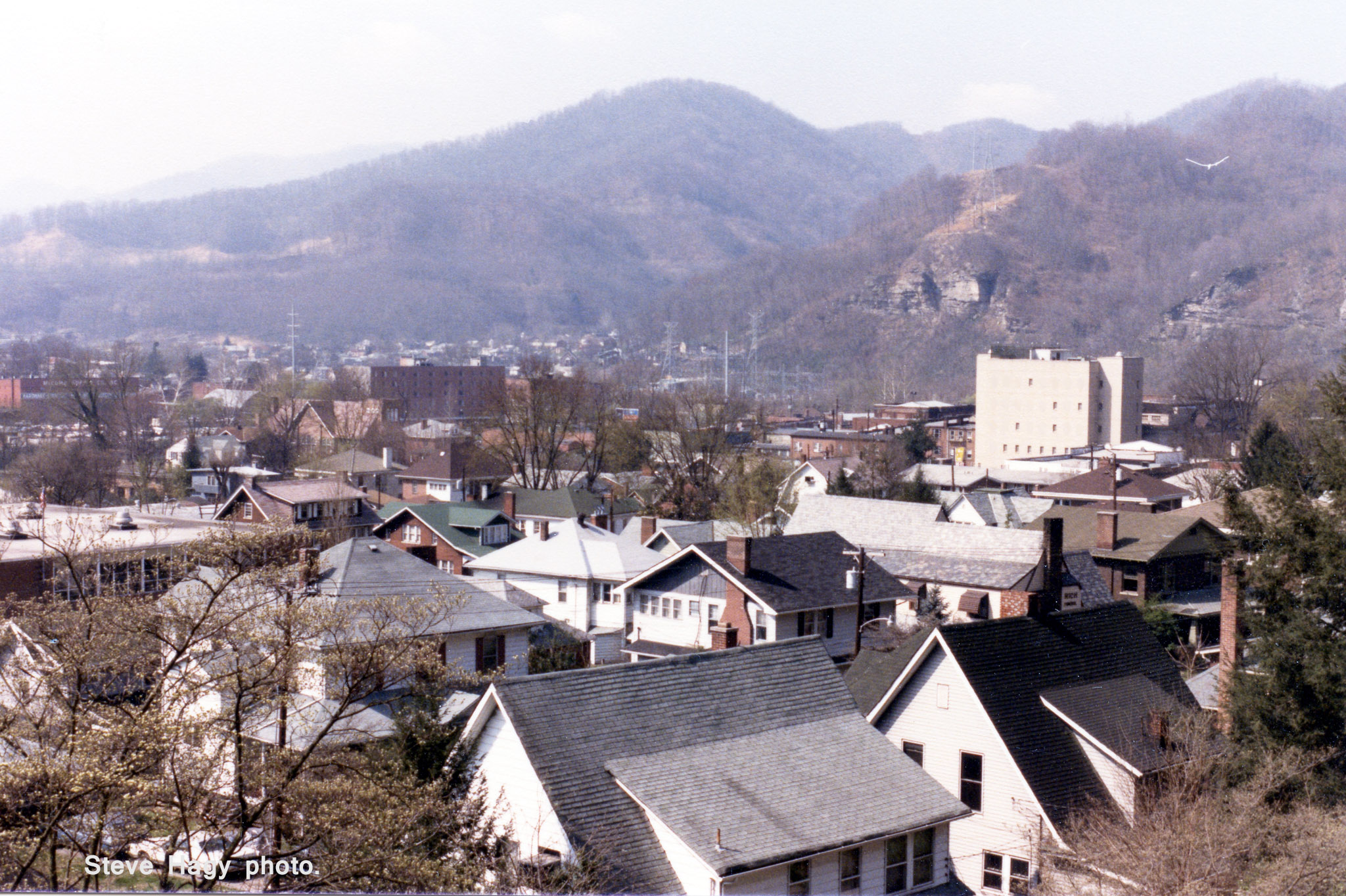
Harlan, Kentucky - April 1985 #2
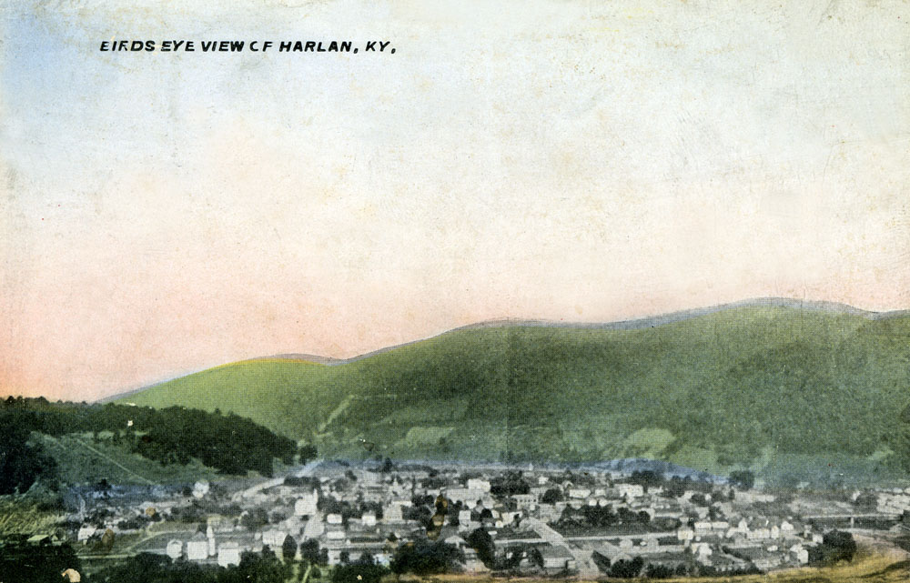
Birds Eye View of Harlan, Kentucky
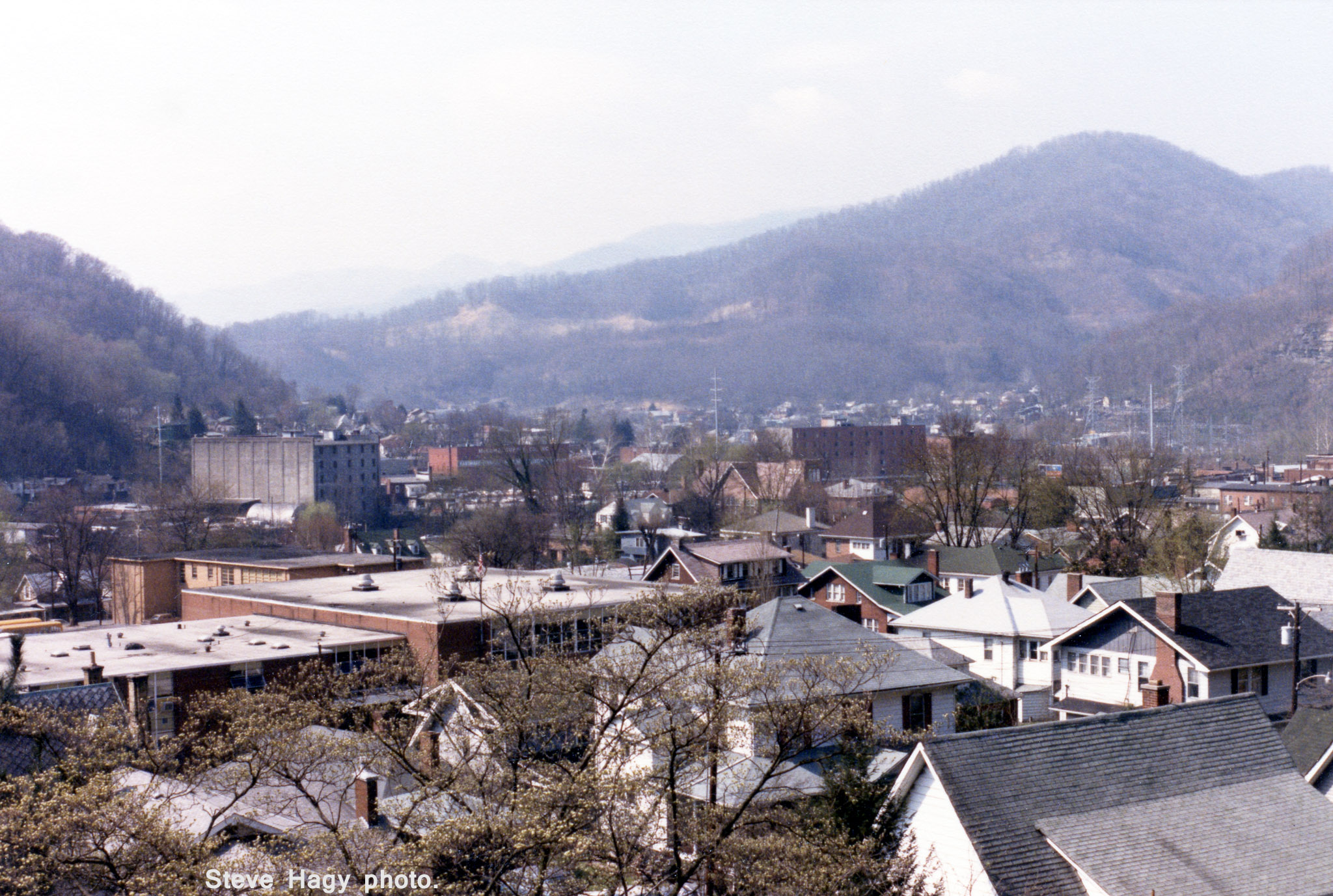
Harlan, Kentucky - April 1985 #1
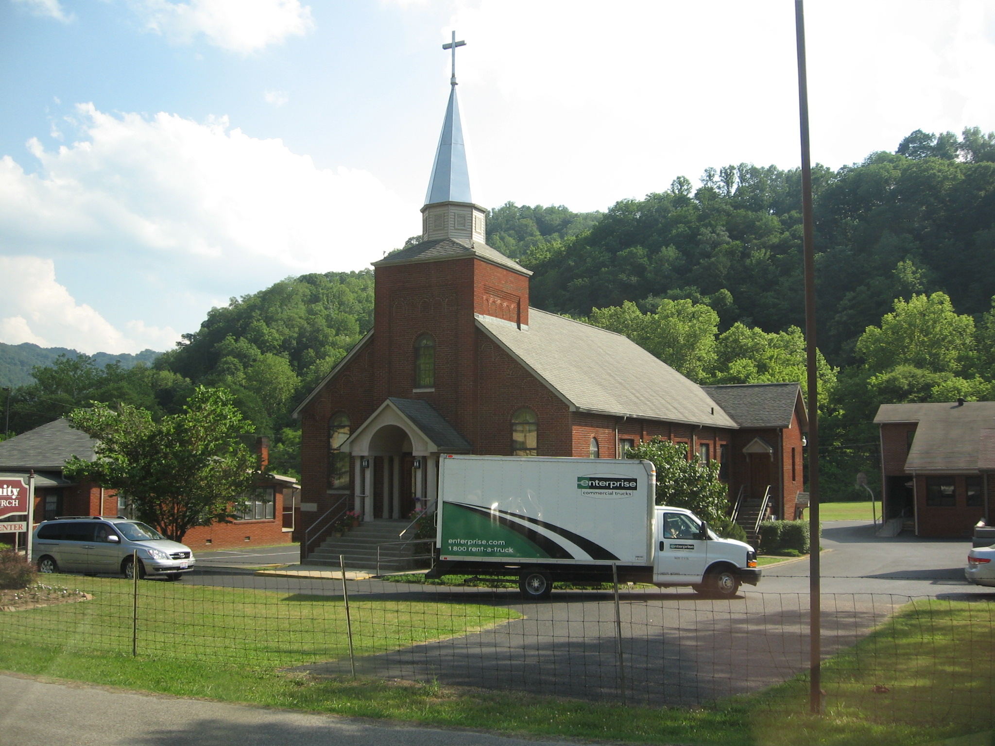
Rollin' In
Topographic Map of Tremont Hill Rd, Wallins Creek, KY, USA
Find elevation by address:

Places near Tremont Hill Rd, Wallins Creek, KY, USA:
Wallins Creek
Sukey Ridge Rd, Baxter, KY, USA
7 Branson St, Harlan, KY, USA
Baxter
US-, Harlan, KY, USA
Harlan
1431-1427
Bledsoe
Stanfill Dr, Harlan, KY, USA
Nevada Lane
Kentucky 221
Helton
Gulston
US-, Helton, KY, USA
State Highway 72
Old Highway 119
24 Peach Tree St, Harlan, KY, USA
Hulen
Mozelle
State Highway 2009
Recent Searches:
- Elevation of Corso Fratelli Cairoli, 35, Macerata MC, Italy
- Elevation of Tallevast Rd, Sarasota, FL, USA
- Elevation of 4th St E, Sonoma, CA, USA
- Elevation of Black Hollow Rd, Pennsdale, PA, USA
- Elevation of Oakland Ave, Williamsport, PA, USA
- Elevation of Pedrógão Grande, Portugal
- Elevation of Klee Dr, Martinsburg, WV, USA
- Elevation of Via Roma, Pieranica CR, Italy
- Elevation of Tavkvetili Mountain, Georgia
- Elevation of Hartfords Bluff Cir, Mt Pleasant, SC, USA