Elevation of Trans-Canada Hwy, Val Côté, ON P0L 2E0, Canada
Location: Canada > Ontario > Cochrane District > Mattice-val Côté > Val Côté >
Longitude: -83.403153
Latitude: 49.6431319
Elevation: 250m / 820feet
Barometric Pressure: 98KPa
Elevation Map:
Satellite Map:
Related Photos:
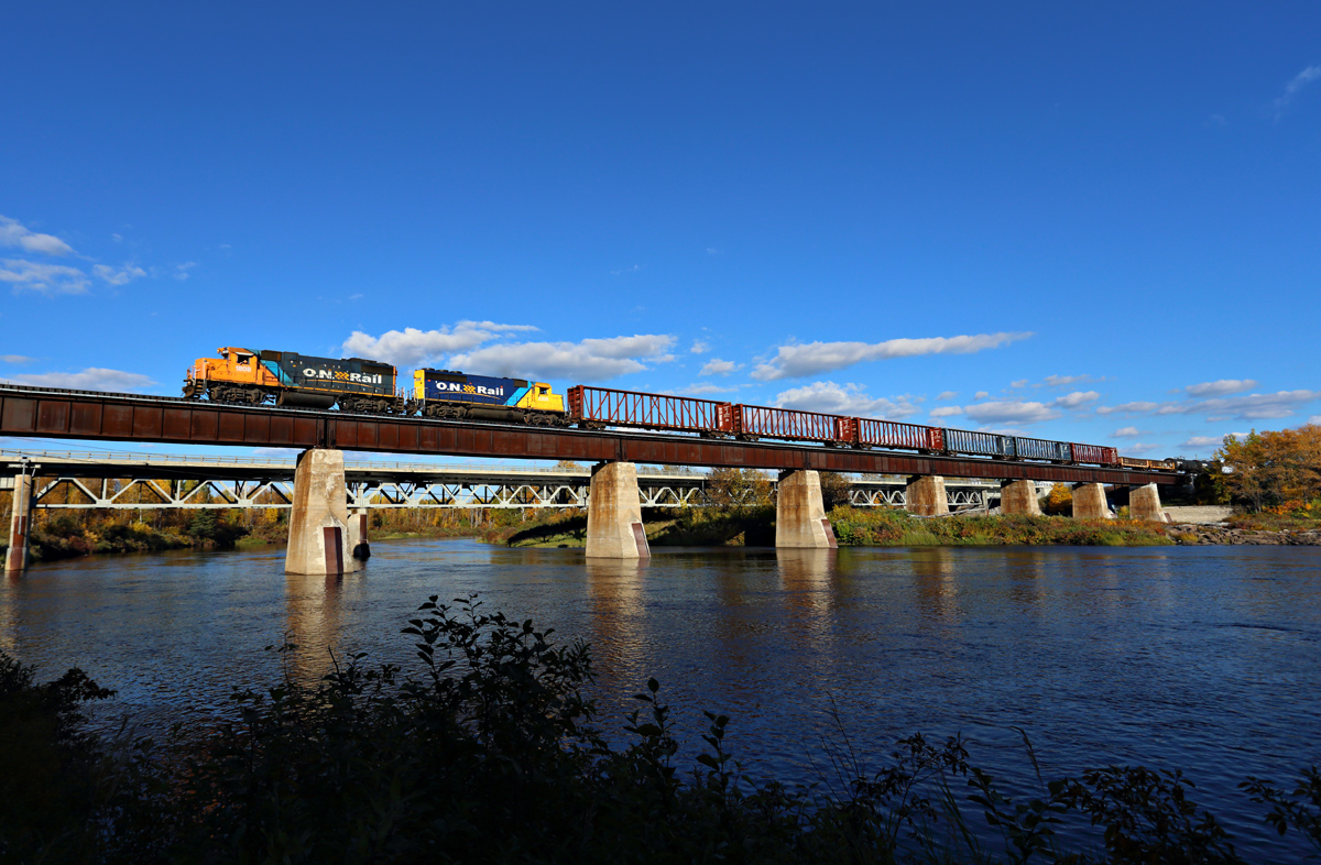
Ontario Northland - Mattice, Ontario
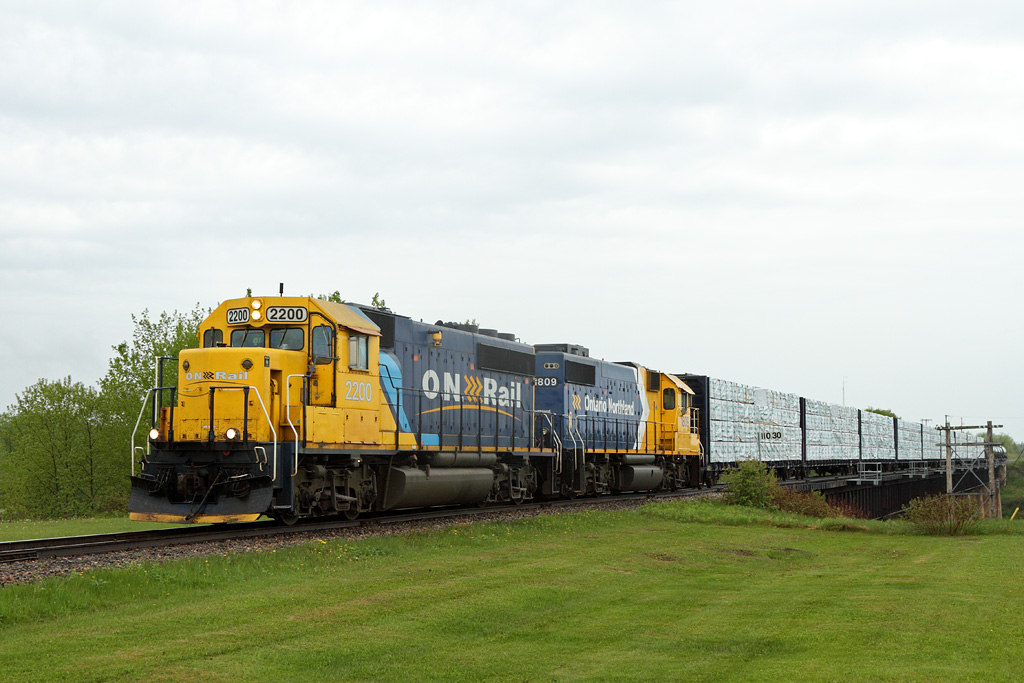
ONT 516-04, 2200 South
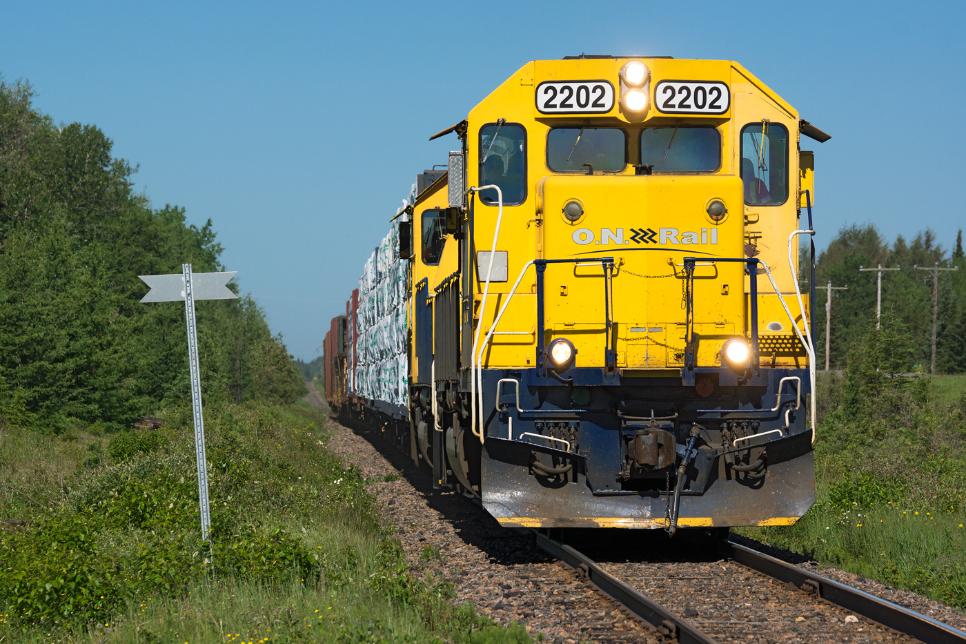
ONR 516 @ Hearst, ON
Topographic Map of Trans-Canada Hwy, Val Côté, ON P0L 2E0, Canada
Find elevation by address:

Places near Trans-Canada Hwy, Val Côté, ON P0L 2E0, Canada:
Val Côté
Mattice-val Côté
King St, Mattice, ON P0L, Canada
Mattice
Hearst
Unorganized North Cochrane District
Cochrane District
Recent Searches:
- Elevation of Groblershoop, South Africa
- Elevation of Power Generation Enterprises | Industrial Diesel Generators, Oak Ave, Canyon Country, CA, USA
- Elevation of Chesaw Rd, Oroville, WA, USA
- Elevation of N, Mt Pleasant, UT, USA
- Elevation of 6 Rue Jules Ferry, Beausoleil, France
- Elevation of Sattva Horizon, 4JC6+G9P, Vinayak Nagar, Kattigenahalli, Bengaluru, Karnataka, India
- Elevation of Great Brook Sports, Gold Star Hwy, Groton, CT, USA
- Elevation of 10 Mountain Laurels Dr, Nashua, NH, USA
- Elevation of 16 Gilboa Ln, Nashua, NH, USA
- Elevation of Laurel Rd, Townsend, TN, USA