Elevation of Tranquil Mountain, Montana, USA
Location: United States > Montana > Flathead County >
Longitude: -113.62897
Latitude: 47.8299439
Elevation: 2117m / 6946feet
Barometric Pressure: 78KPa
Elevation Map:
Satellite Map:
Related Photos:
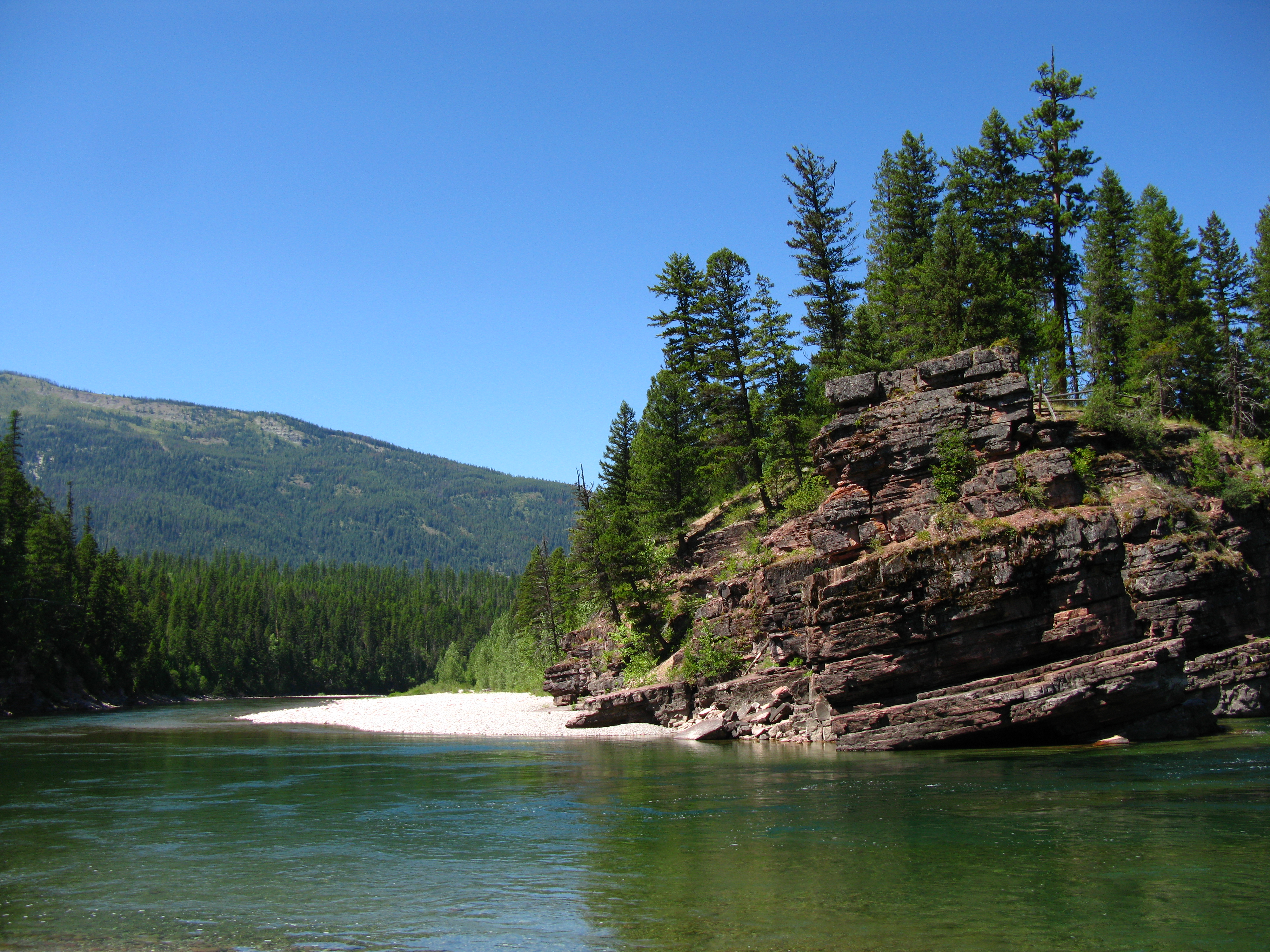
A river runs through it...
South Fork Flathead River, Bob Marshall Wilderness, Montana

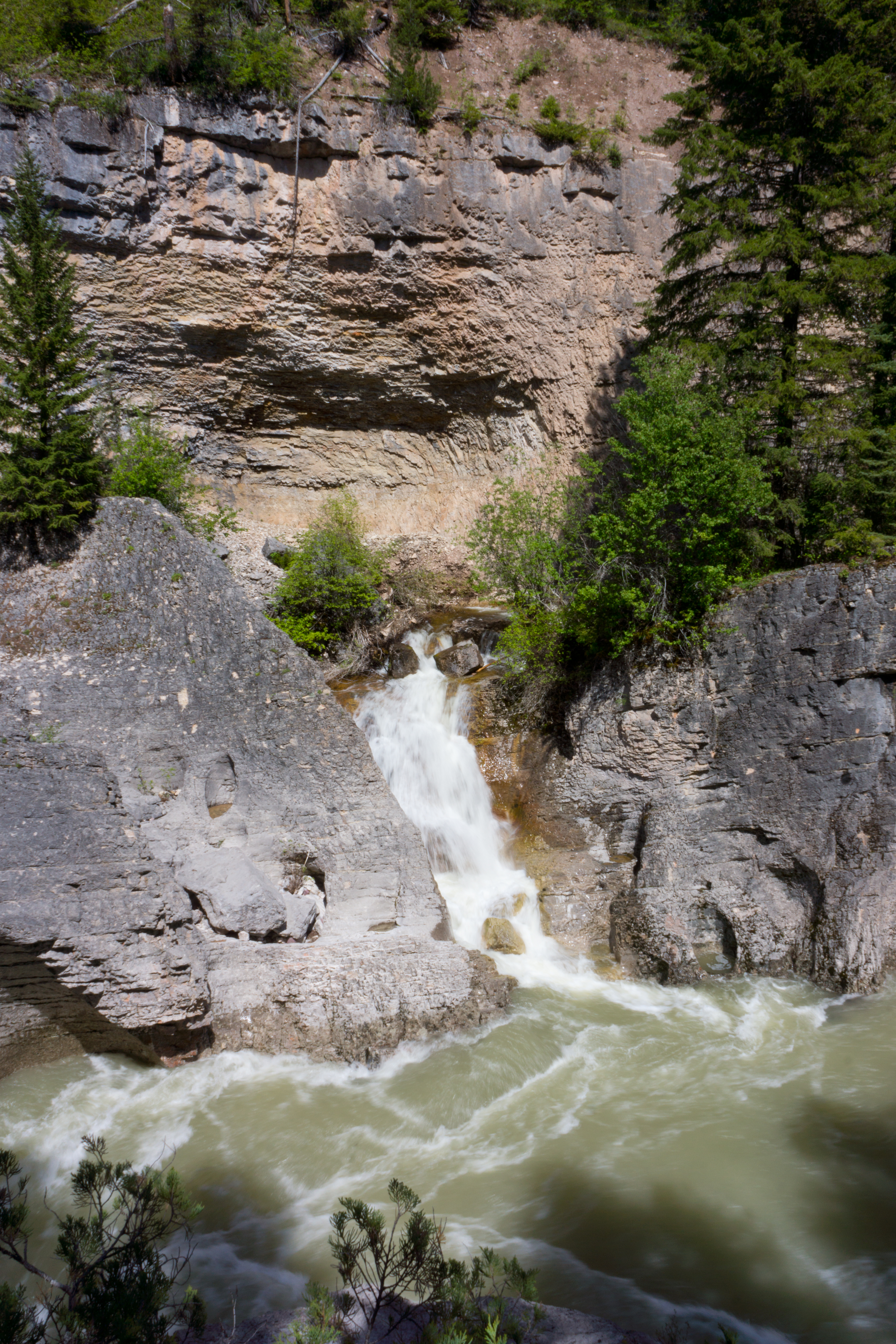
Meadow Creek Falls
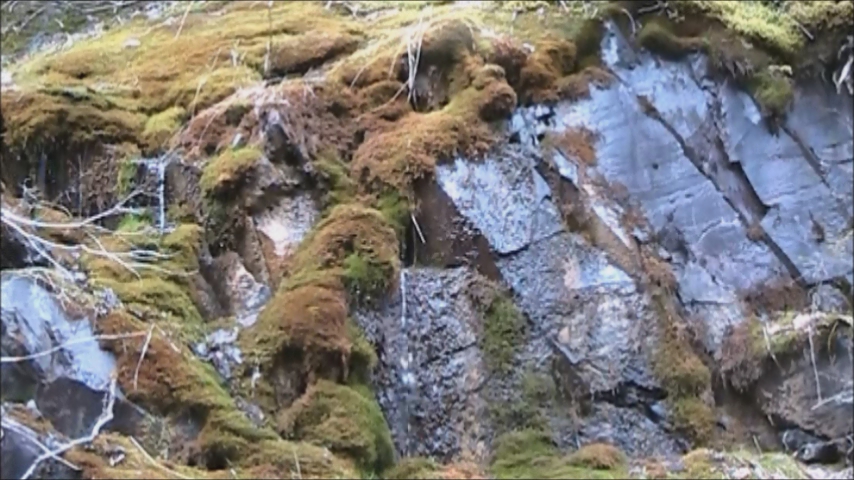
spring runoff with tweety bird
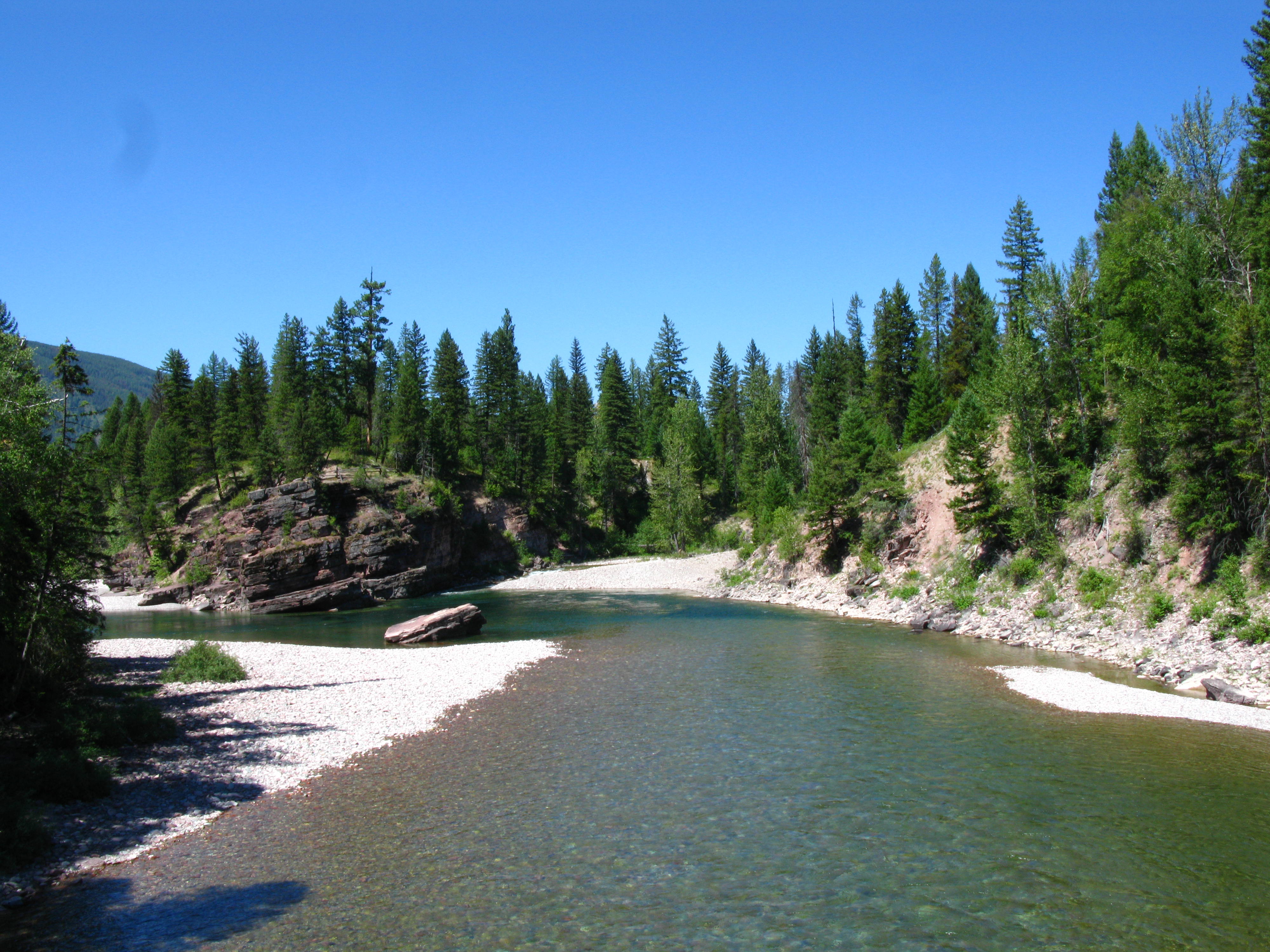
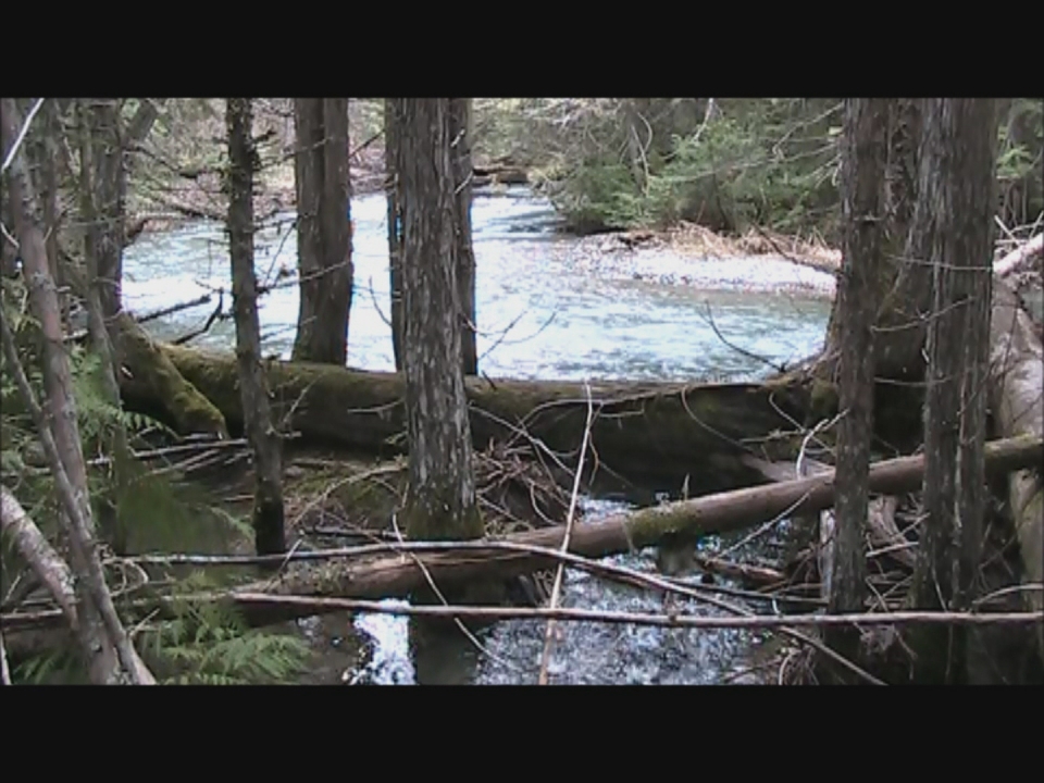
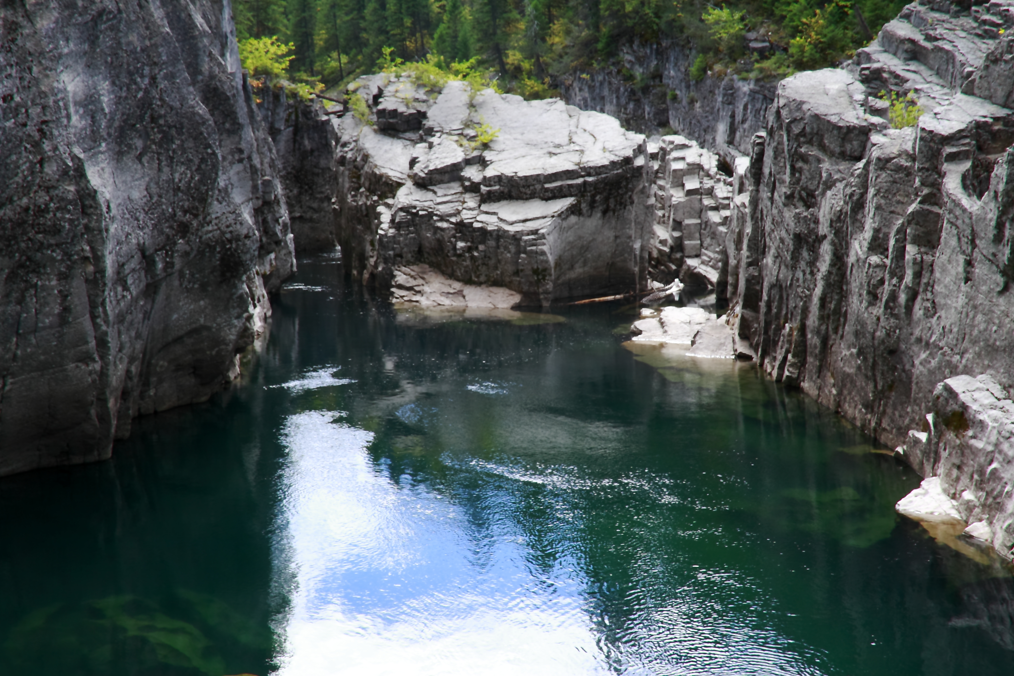
Meadow Creek Gorge
high water time
_MG_7599 2
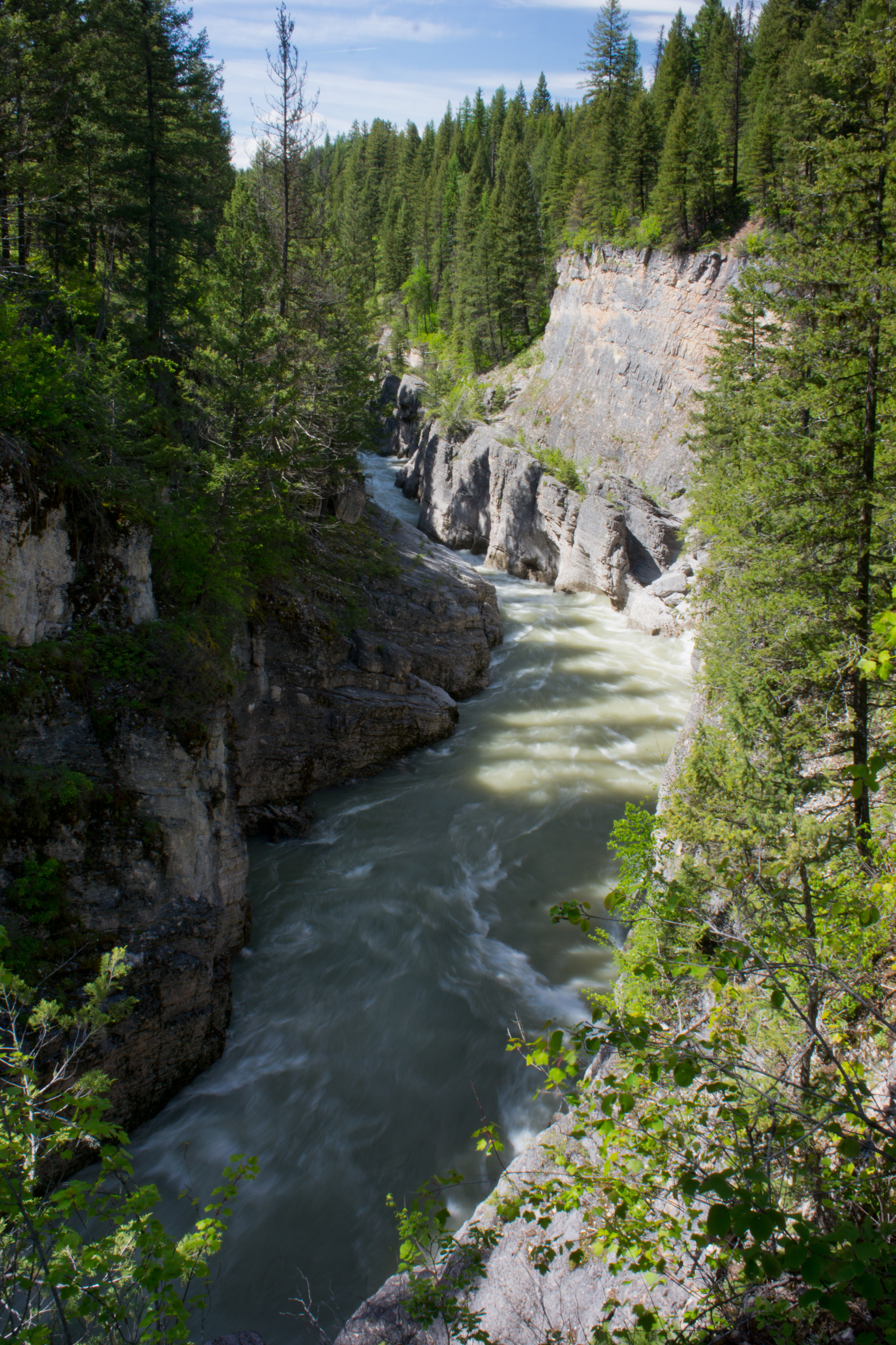
Meadow Creek Gorge
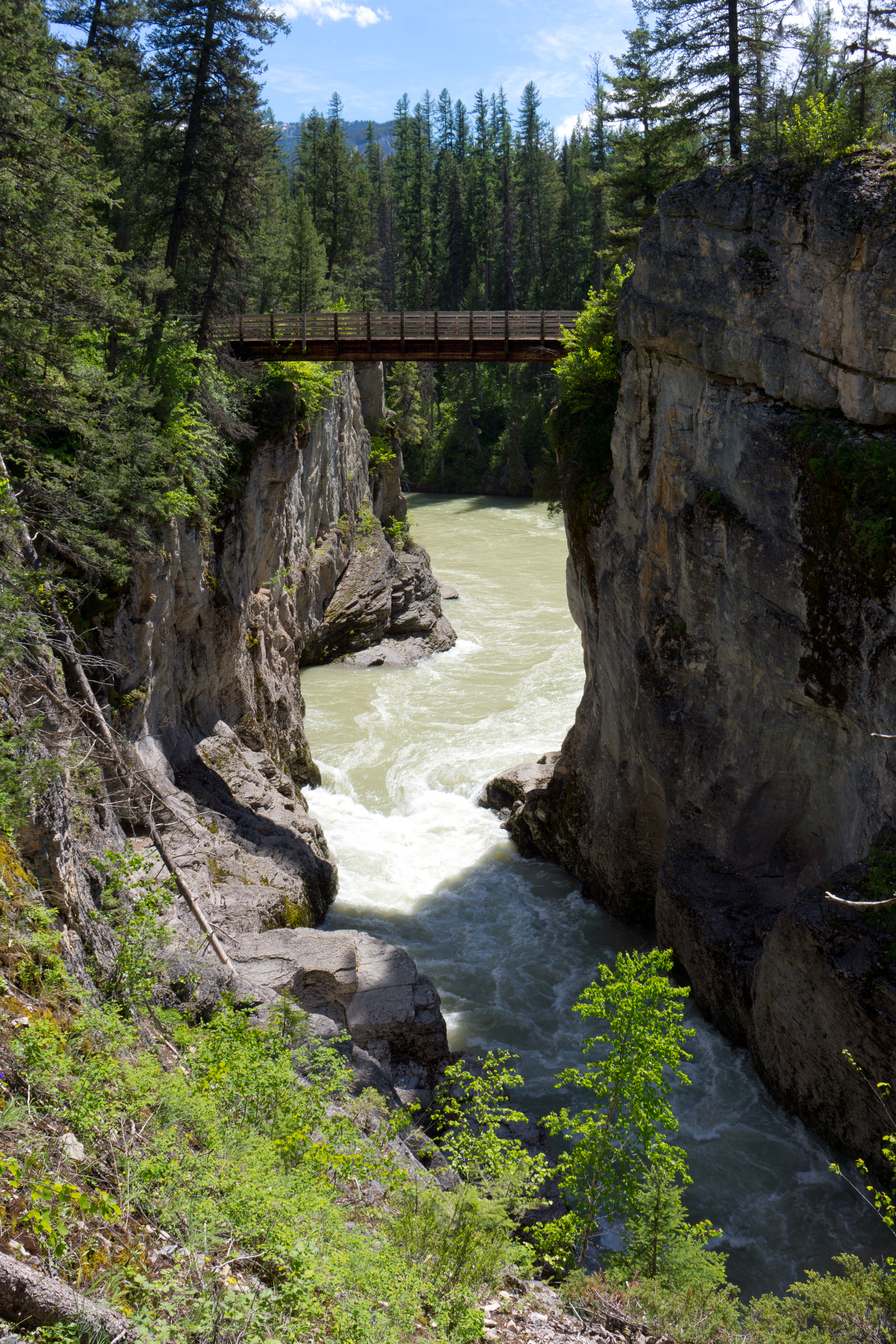
Meadow Creek Bridge

Corporal Mountain Wildfire
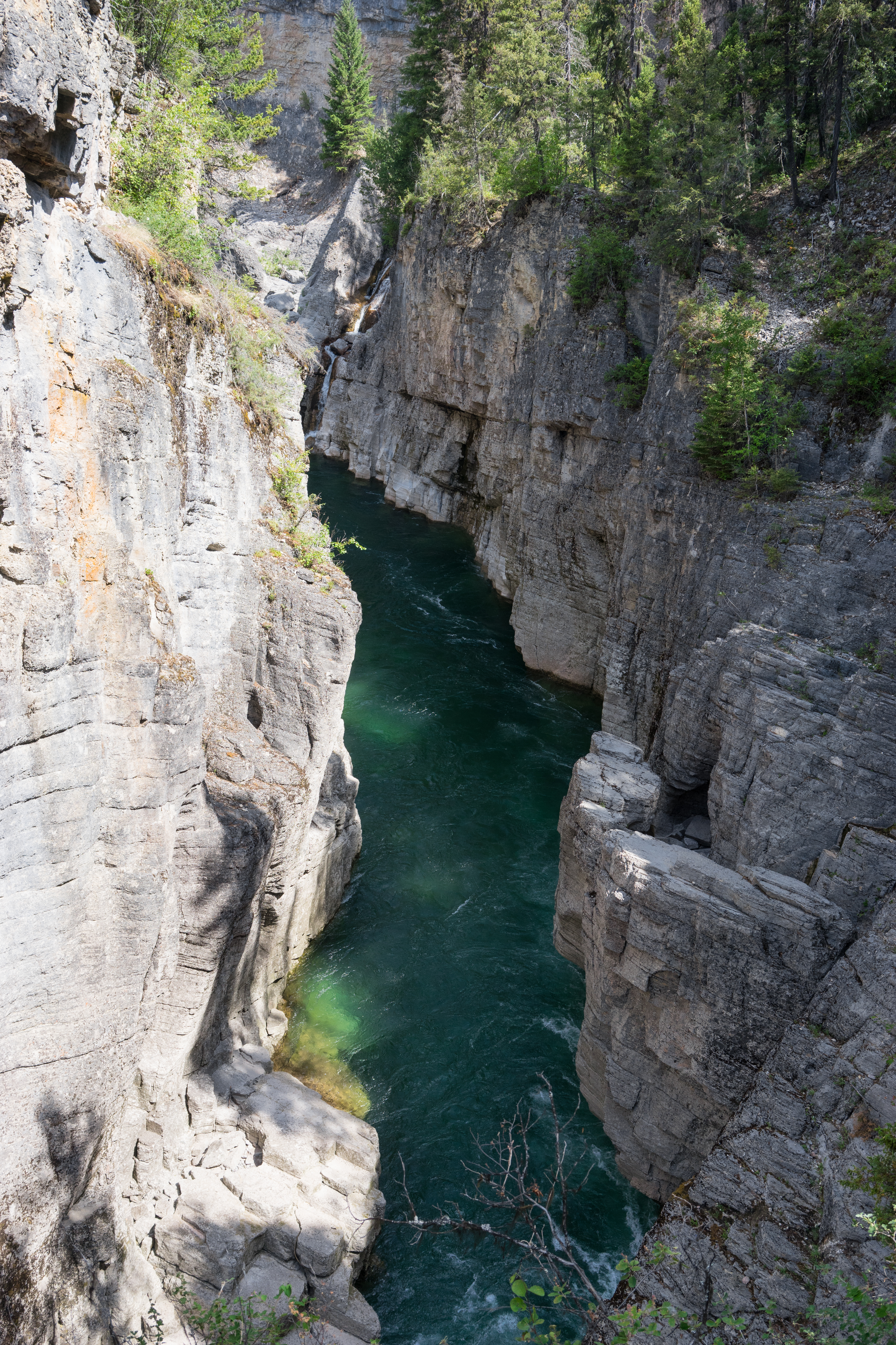
Meadow Creek Gorge
Topographic Map of Tranquil Mountain, Montana, USA
Find elevation by address:

Places near Tranquil Mountain, Montana, USA:
Gildart Peak
Bruce Mountain
Bruce Ridge South
Bruce Ridge North
Chipmunk Peak
Stony Hill
Kah Mountain
Meadow Creek Trailhead (recgovnpsdata)
Hall Lake
Battery Mountain
Meadow Mountain
Condor Peak
Bent Mountain
Spy Mountain
Twin Mountain
Sergeant Mountain
Whitcomb Peak
Horseshoe Peak
Red Sky Mountain
Mid Mountain
Recent Searches:
- Elevation of Corso Fratelli Cairoli, 35, Macerata MC, Italy
- Elevation of Tallevast Rd, Sarasota, FL, USA
- Elevation of 4th St E, Sonoma, CA, USA
- Elevation of Black Hollow Rd, Pennsdale, PA, USA
- Elevation of Oakland Ave, Williamsport, PA, USA
- Elevation of Pedrógão Grande, Portugal
- Elevation of Klee Dr, Martinsburg, WV, USA
- Elevation of Via Roma, Pieranica CR, Italy
- Elevation of Tavkvetili Mountain, Georgia
- Elevation of Hartfords Bluff Cir, Mt Pleasant, SC, USA