Elevation of Trail, Hot Springs, NC, USA
Location: United States > North Carolina > Madison County > 6, Hot Springs > Hot Springs >
Longitude: -82.840024
Latitude: 35.8745321
Elevation: 445m / 1460feet
Barometric Pressure: 96KPa
Elevation Map:
Satellite Map:
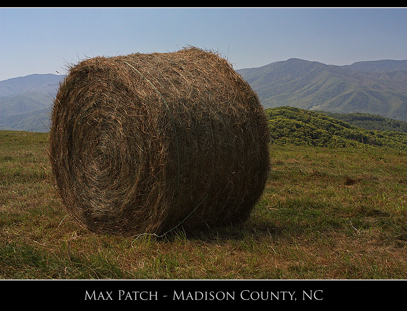
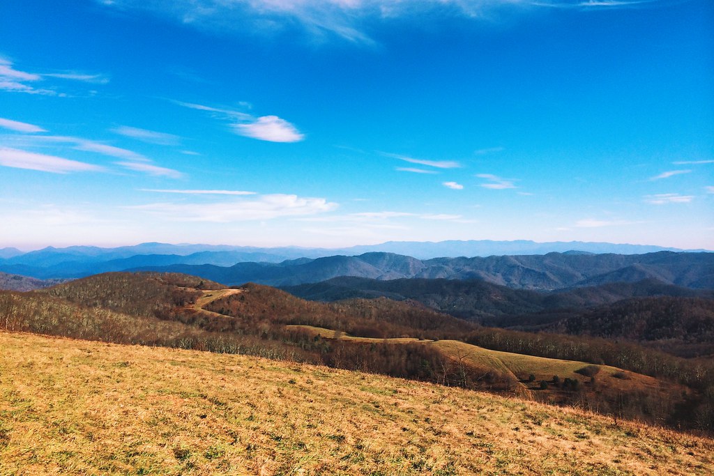
Related Photos:

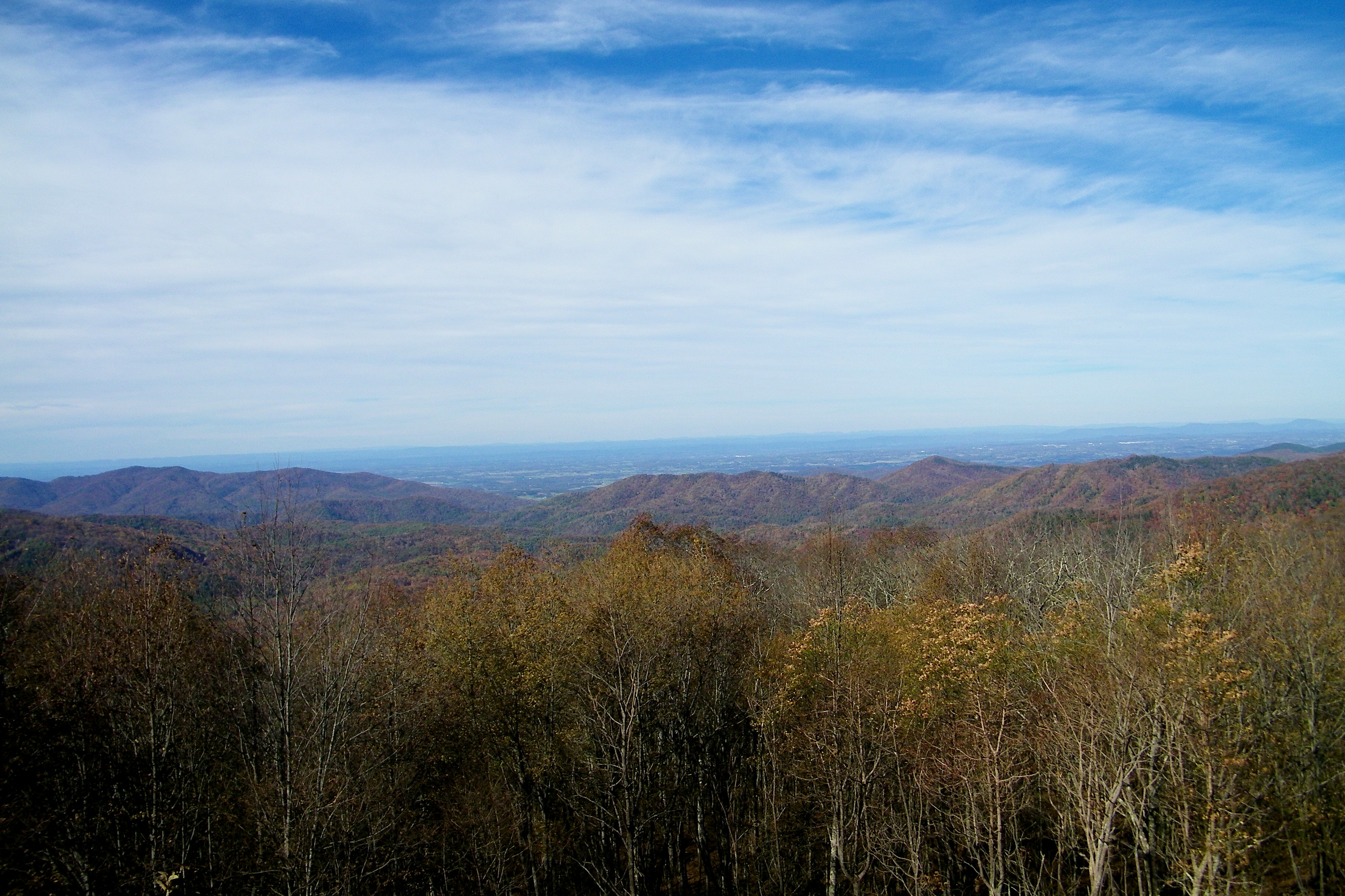
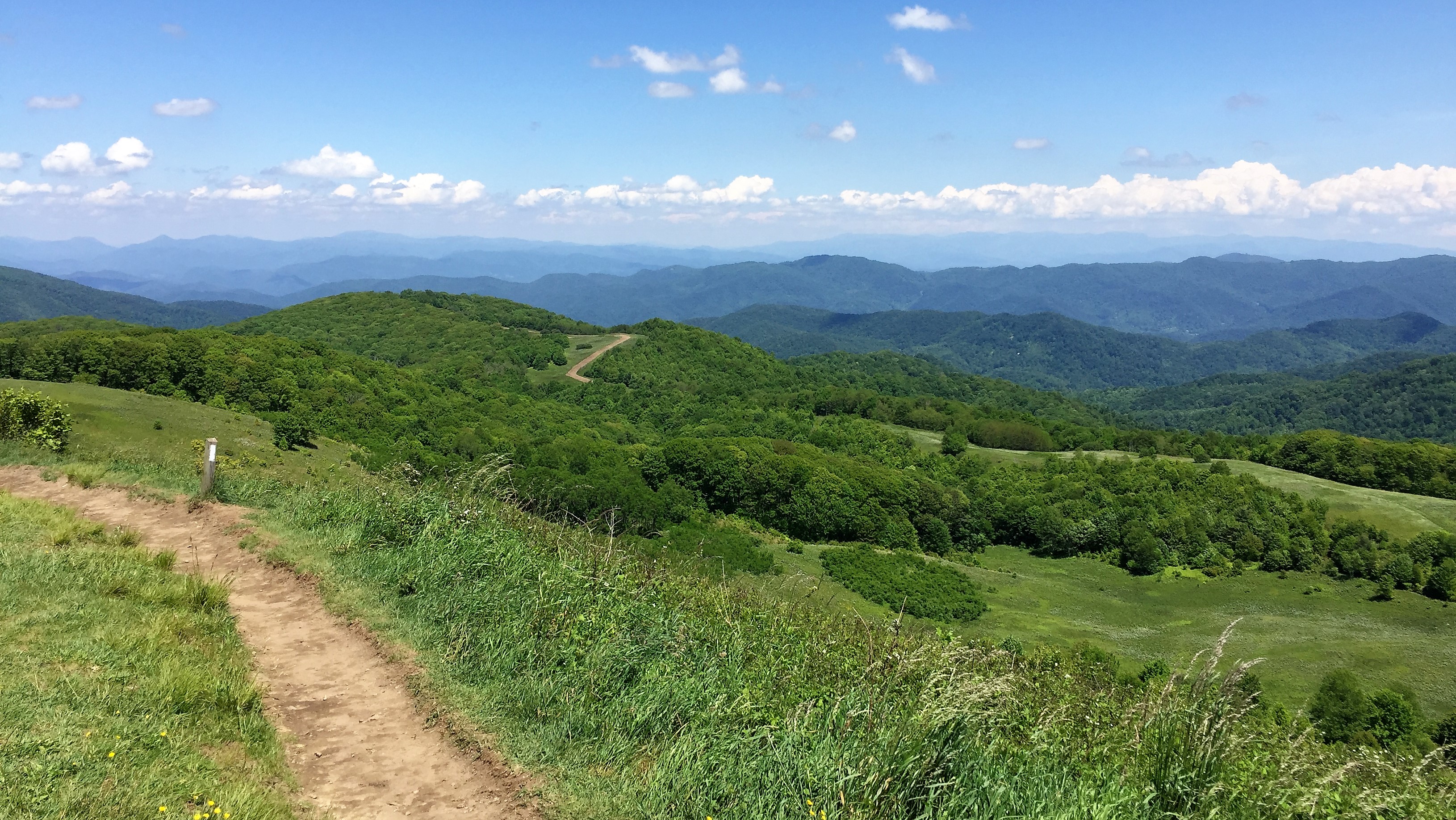
Max Patch

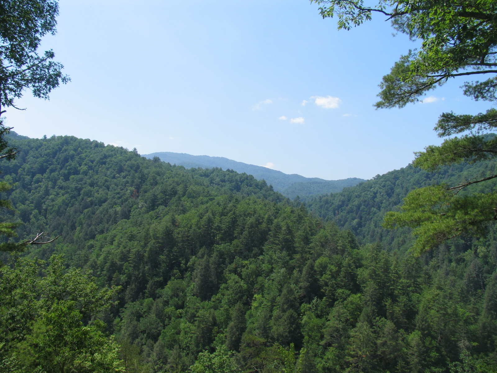
The Smokey Mountains

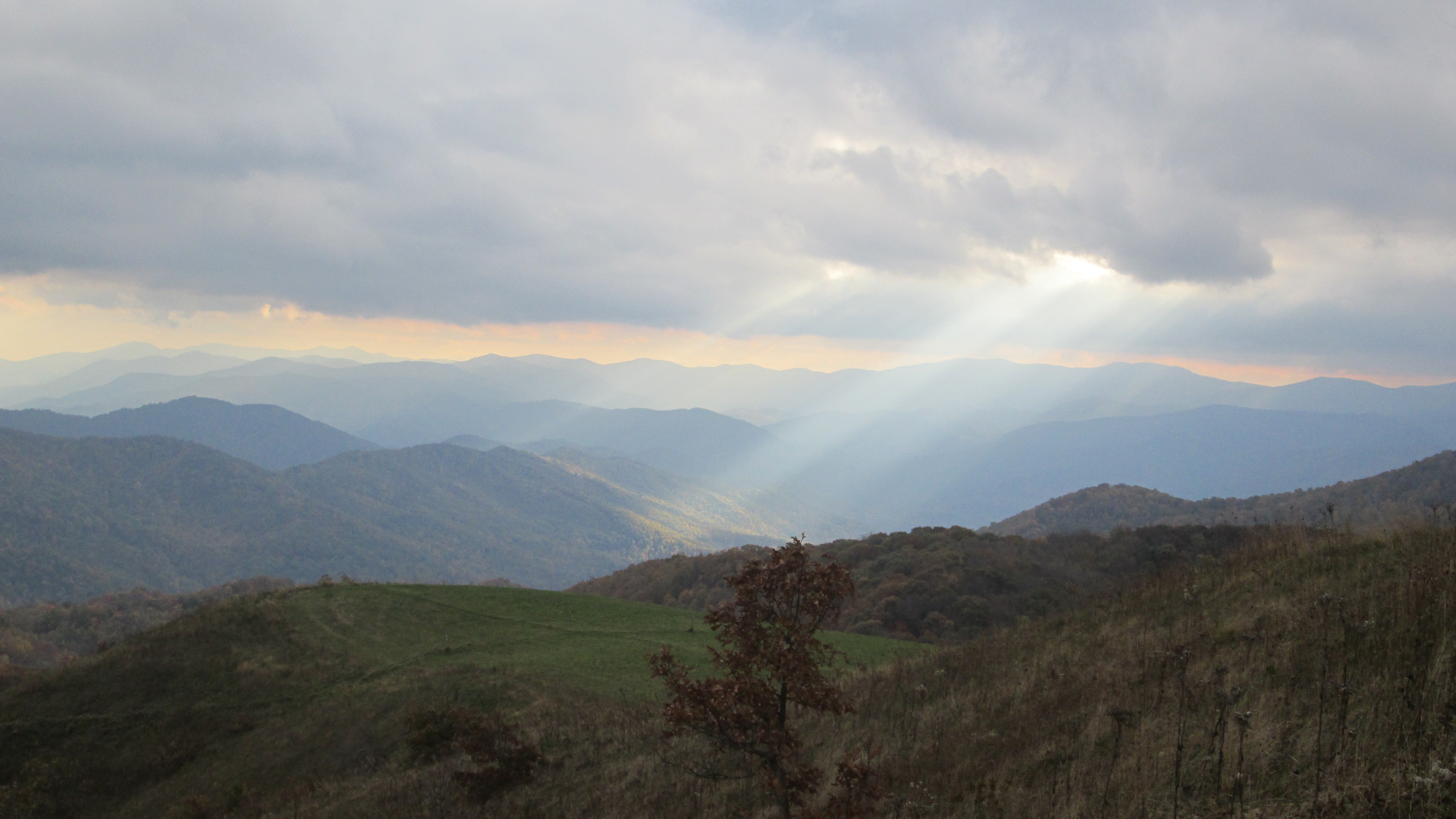
View from Max Patch

The Appalachian Trail
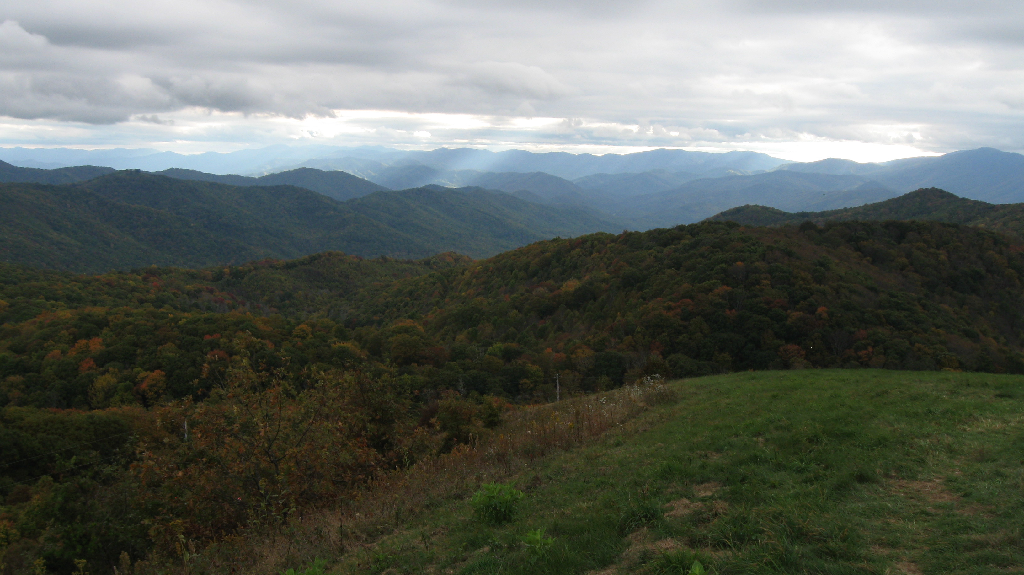
Rich Mountain Fire Tower

Celebrating the 4th of July

View From Max Patch

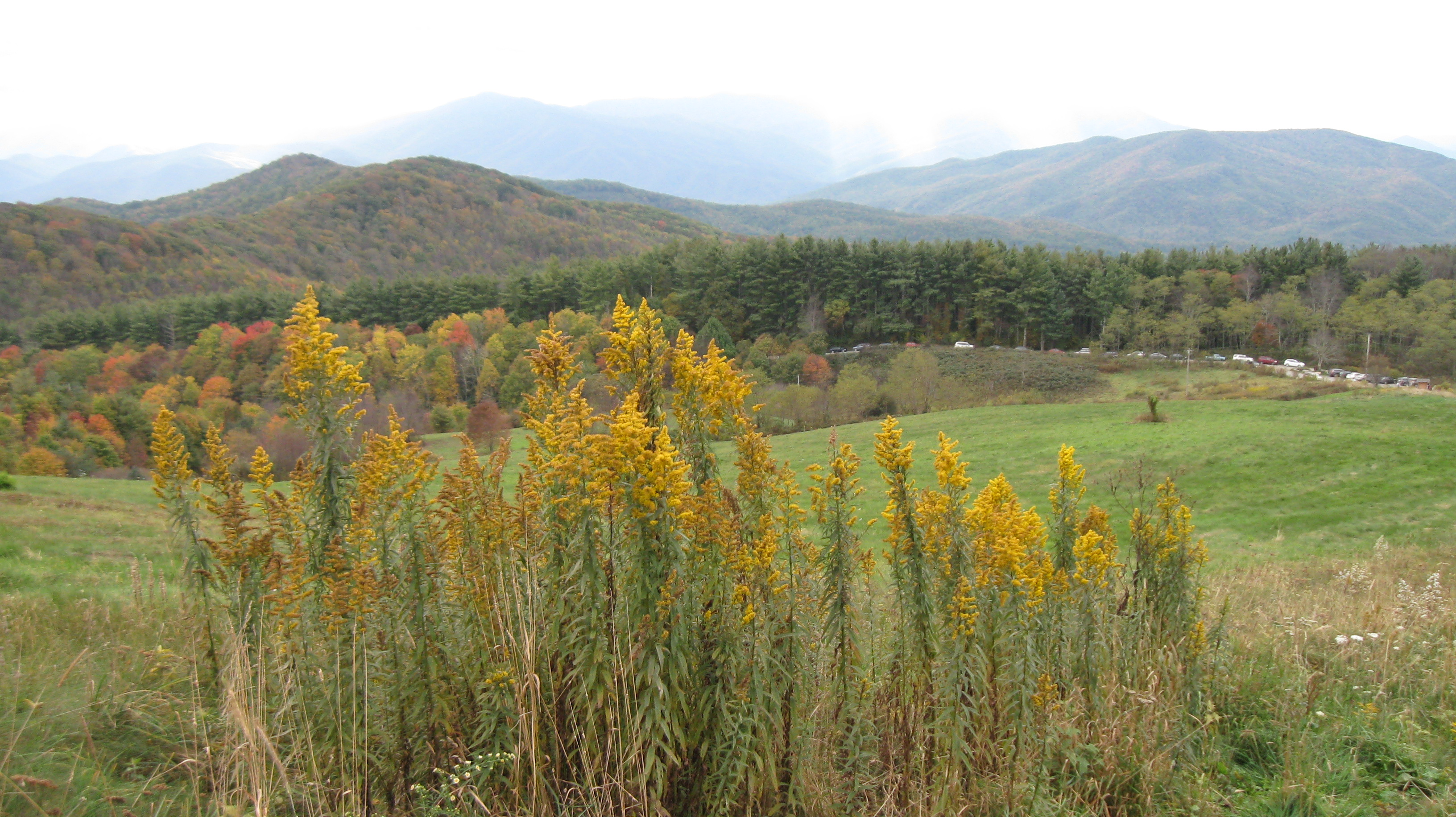
Fall on Max Patch

max patch

Houston Valley

View from Max Patch, looking east

View from Max Patch
Max Patch - October 12, 2013-036
Max Patch - October 12, 2013-051

Max Patch - October 12, 2013-065
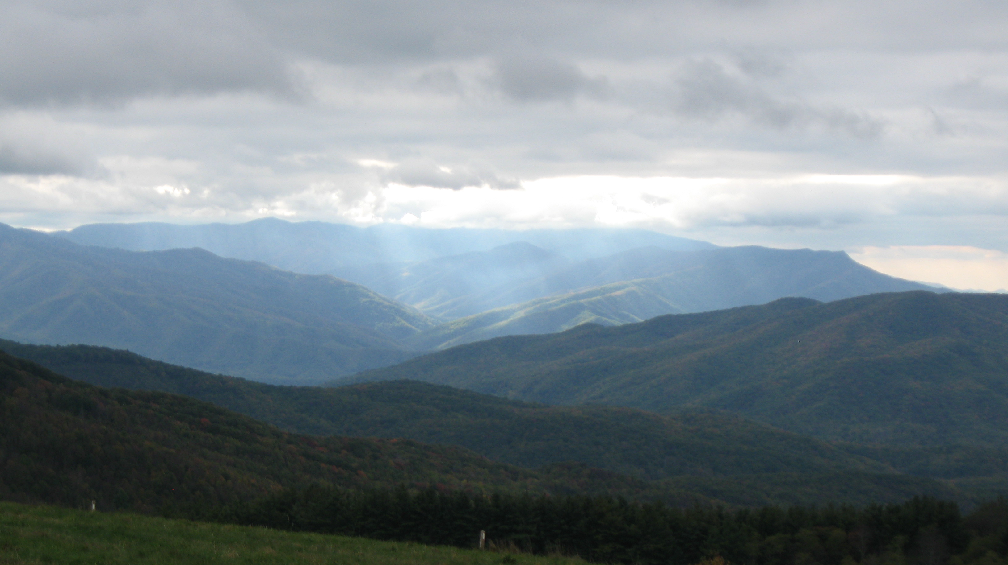
View from the Rich Mountain lookout tower

View from Meadow Creek Firetower
View looking north from Max Patch
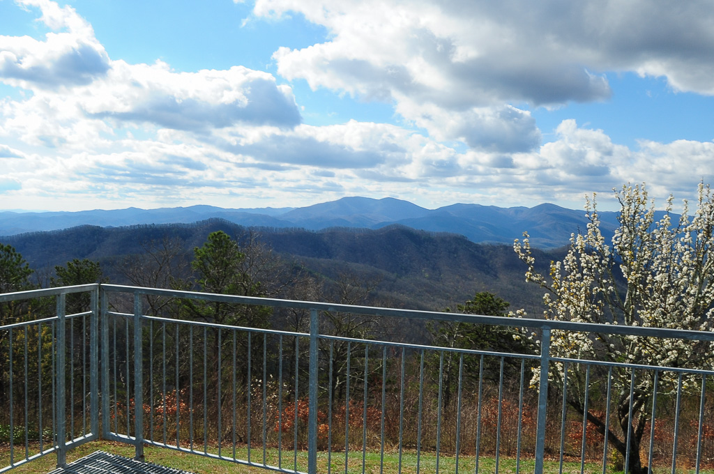
NC 209 Scenic View
Max Patch - October 12, 2013-008
View from Meadow Creek Firetower
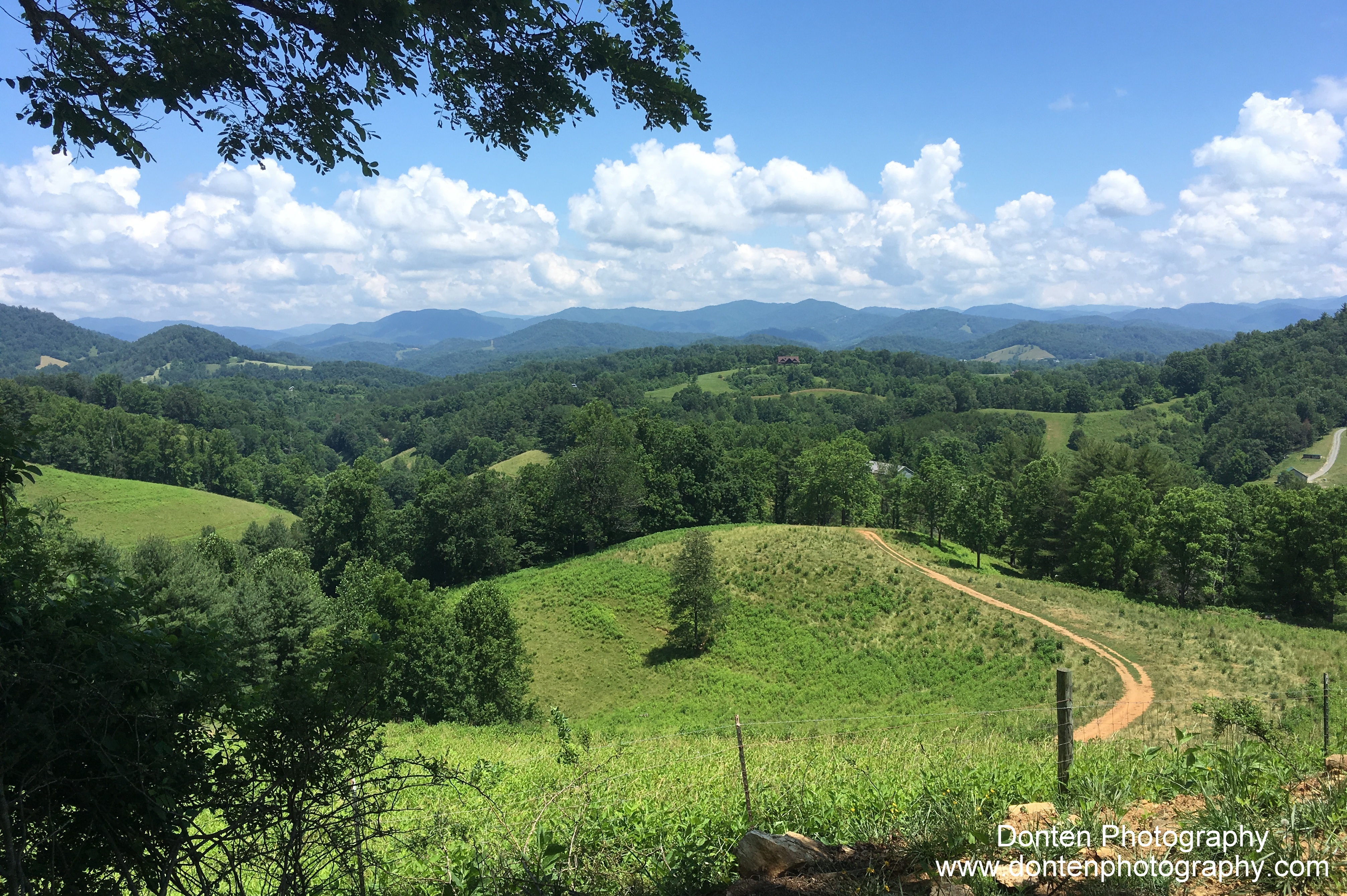
Max Patch mountain
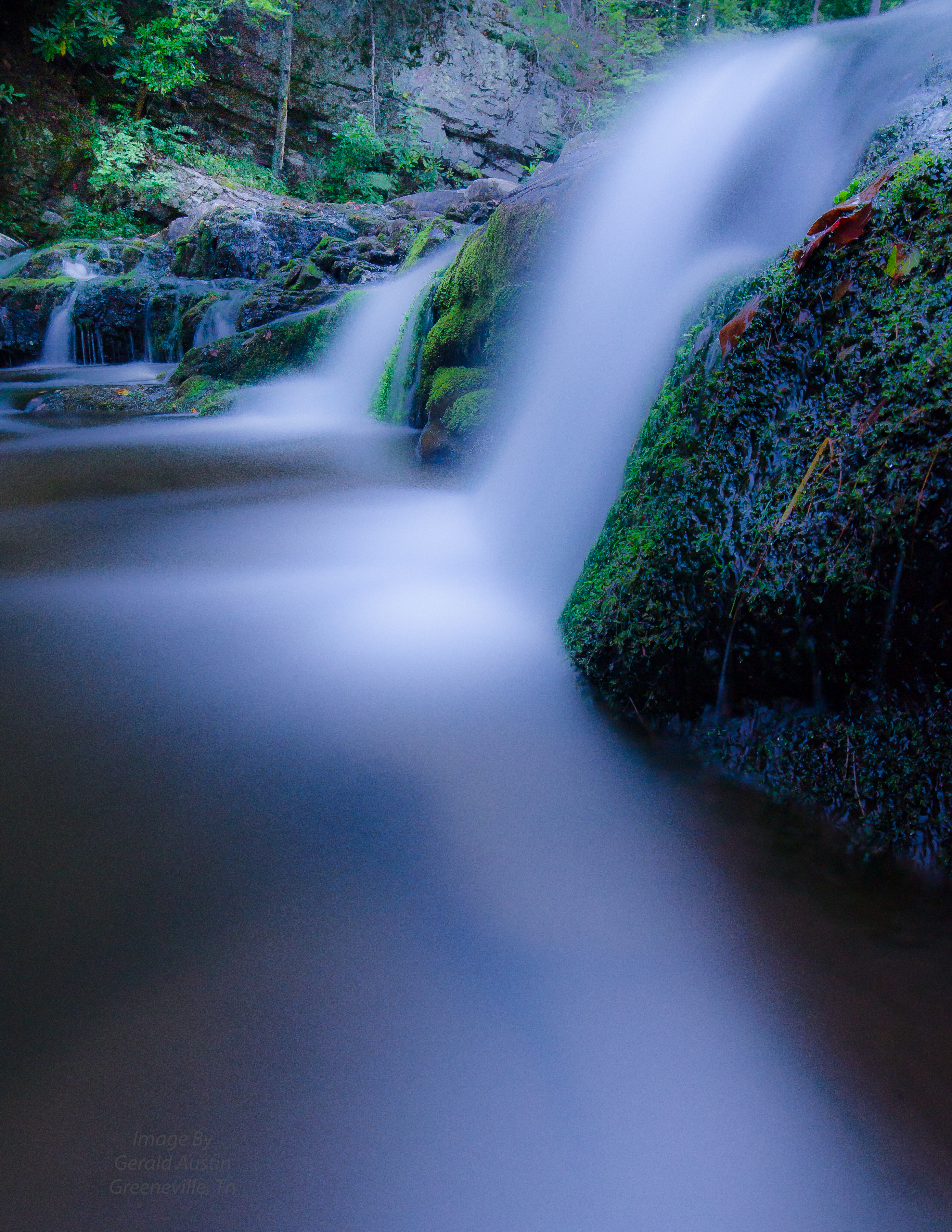
Paint Creek under starlight
Photo Stream-682
Sandy Bottom Trail Rides

Photo Stream-684
123 along the French Broad
2013-11-19 13.32.48

Max Patch, N.C. Sunset

Path to the summit

Max Patch, N.C.
Max Patch
2013-11-19 13.41.21

Standing on top of #maxpatch , the bald #mountain. Beautiful #sunset behind #clouds
The Road Less Traveled

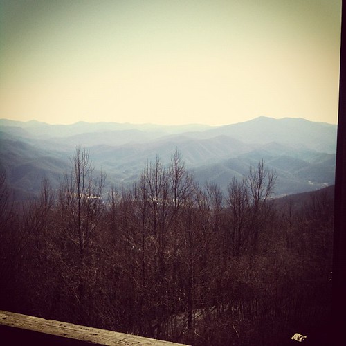
Hot Srings Oct 08 296

Almost Dusk
Misty Mountains #iphoneography #landscape #mountains #northcarolina #mist
Hot Srings Oct 08 242

Max Patch, N.C. Sunset
Topographic Map of Trail, Hot Springs, NC, USA
Find elevation by address:

Places near Trail, Hot Springs, NC, USA:
Trail
Trail
60 Stamey Dr
Hot Springs Elementary School
Hot Springs
Bob Sinners
124 Bridge St
181 Lawson St
71 N Spring St
Hot Springs Mountain
204 Lawson St
6, Hot Springs
143 E Lawson Rd
East Lawson Road
4215 Upper Shut In Rd
4215 Upper Shut In Rd
4215 Upper Shut In Rd
Lawson Lane
1012 Upper Shut In Rd
Island Hollow Road
Recent Searches:
- Elevation of Rojo Ct, Atascadero, CA, USA
- Elevation of Flagstaff Drive, Flagstaff Dr, North Carolina, USA
- Elevation of Avery Ln, Lakeland, FL, USA
- Elevation of Woolwine, VA, USA
- Elevation of Lumagwas Diversified Farmers Multi-Purpose Cooperative, Lumagwas, Adtuyon, RV32+MH7, Pangantucan, Bukidnon, Philippines
- Elevation of Homestead Ridge, New Braunfels, TX, USA
- Elevation of Orchard Road, Orchard Rd, Marlborough, NY, USA
- Elevation of 12 Hutchinson Woods Dr, Fletcher, NC, USA
- Elevation of Holloway Ave, San Francisco, CA, USA
- Elevation of Norfolk, NY, USA