Elevation of Trail 12 BBQ, Twin Hollow Branch Rd, Gilbert, WV, USA
Location: United States > West Virginia > Mingo County > Stafford > Gilbert >
Longitude: -81.880097
Latitude: 37.6279796
Elevation: 480m / 1575feet
Barometric Pressure: 96KPa
Elevation Map:
Satellite Map:
Related Photos:


Stirrat WV: Logan County: Part of the Coal Preperation Plant

Abandoned Man Hospital

Abandoned Man Hospital

Abandoned Man Hospital

The way it is

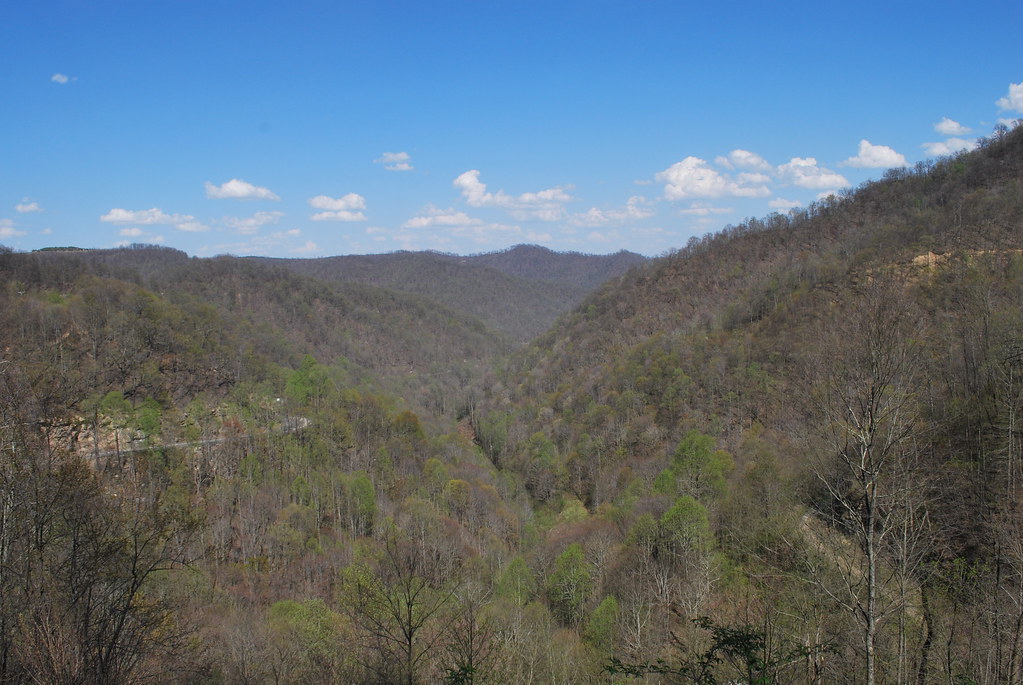
Horsepen Mountain

Horsepen Mountain

R.D. Bailey Dam

Horsepen Mountain
Horsepen Mountain

R.D. Bailey Lake

R.D. Bailey Dam

Horsepen Mountain

R.D. Bailey Lake

R.D. Bailey Lake

R.D. Bailey Dam

Hatfield & McCoy Trails

Hatfield & McCoy Trails

Hatfield & McCoy Trails

New WV 10

R.D. Bailey Lake
Topographic Map of Trail 12 BBQ, Twin Hollow Branch Rd, Gilbert, WV, USA
Find elevation by address:

Places near Trail 12 BBQ, Twin Hollow Branch Rd, Gilbert, WV, USA:
Twin Hollow Campground And Cabins
Twin Hollow Branch Road
Stafford
Verner
Sandlick Branch Rd, Bruno, WV, USA
Bruno
WV-80, Man, WV, USA
Hensley Heights Rd, Man, WV, USA
Mallory
N Bridge St, Man, WV, USA
Man
Davin
Co Hwy 10/06, Davin, WV, USA
1076 Autumn Lane
Accoville
20 Picket Ln, Accoville, WV, USA
Coal Mountain
Clear Fork
Clear Fork Rd, Oceana, WV, USA
3, WV, USA
Recent Searches:
- Elevation of Lampiasi St, Sarasota, FL, USA
- Elevation of Elwyn Dr, Roanoke Rapids, NC, USA
- Elevation of Congressional Dr, Stevensville, MD, USA
- Elevation of Bellview Rd, McLean, VA, USA
- Elevation of Stage Island Rd, Chatham, MA, USA
- Elevation of Shibuya Scramble Crossing, 21 Udagawacho, Shibuya City, Tokyo -, Japan
- Elevation of Jadagoniai, Kaunas District Municipality, Lithuania
- Elevation of Pagonija rock, Kranto 7-oji g. 8"N, Kaunas, Lithuania
- Elevation of Co Rd 87, Jamestown, CO, USA
- Elevation of Tenjo, Cundinamarca, Colombia