Elevation of Townsend Mountain, Washington, USA
Location: United States > Washington > Index >
Longitude: -121.39232
Latitude: 47.7987179
Elevation: 1732m / 5682feet
Barometric Pressure: 82KPa
Elevation Map:
Satellite Map:
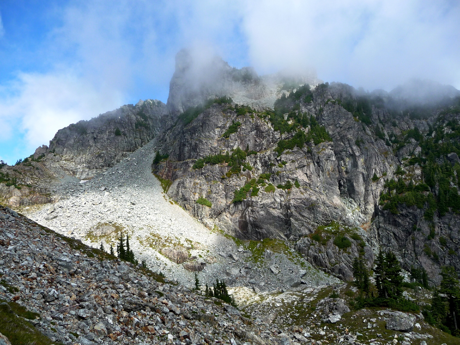
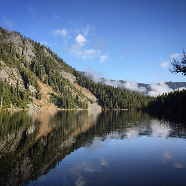
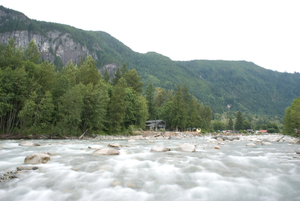
Related Photos:
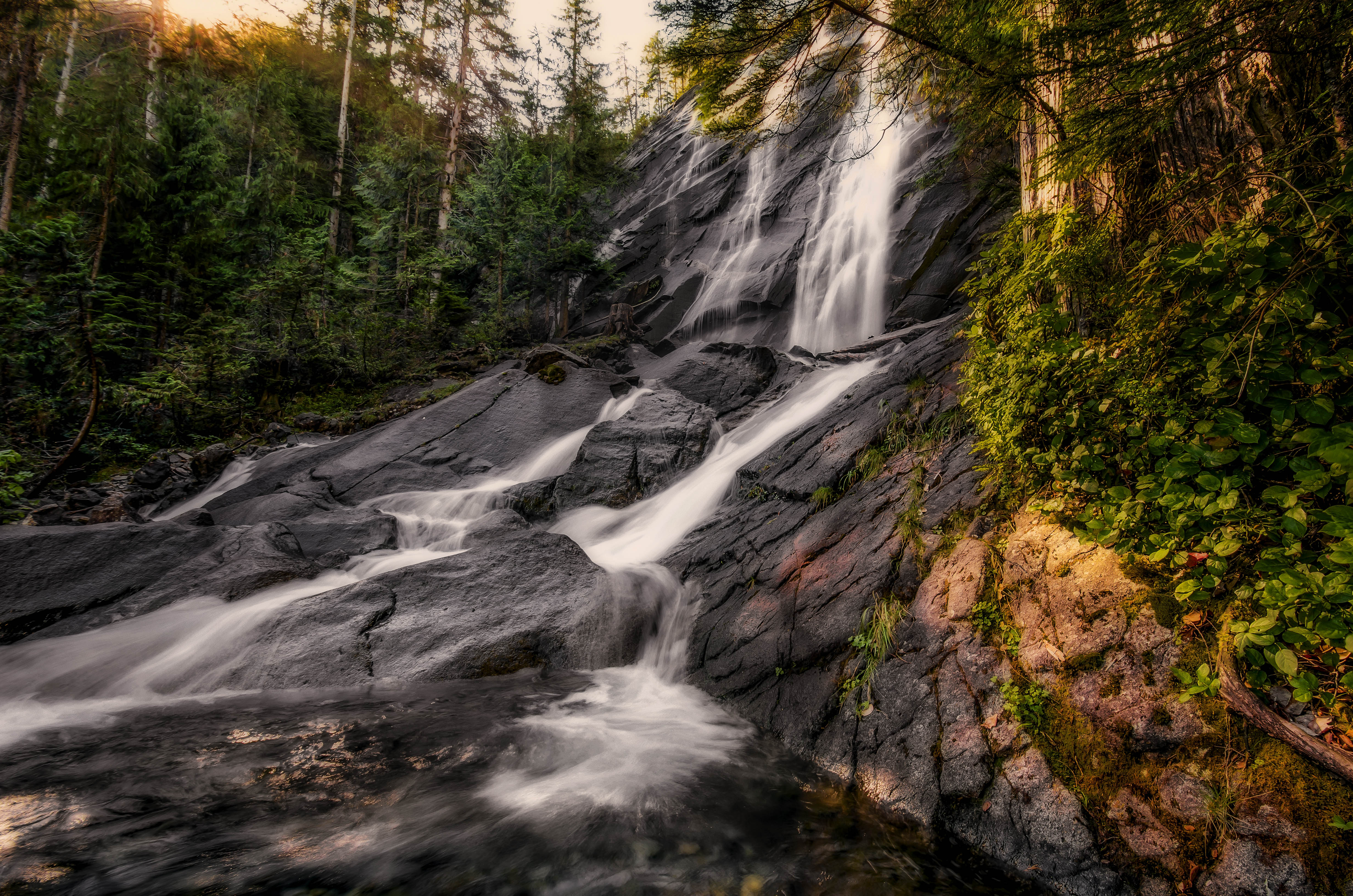
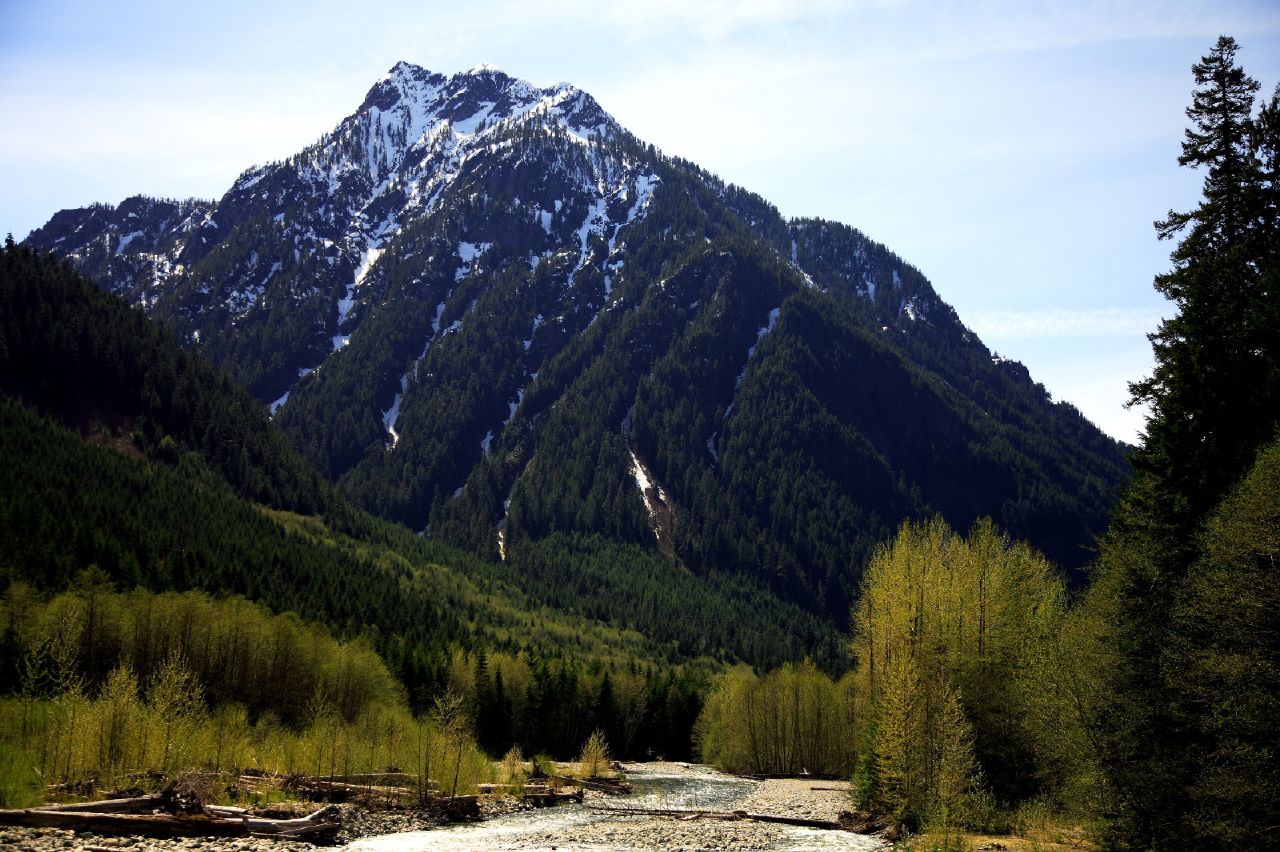
Early Morning Falls
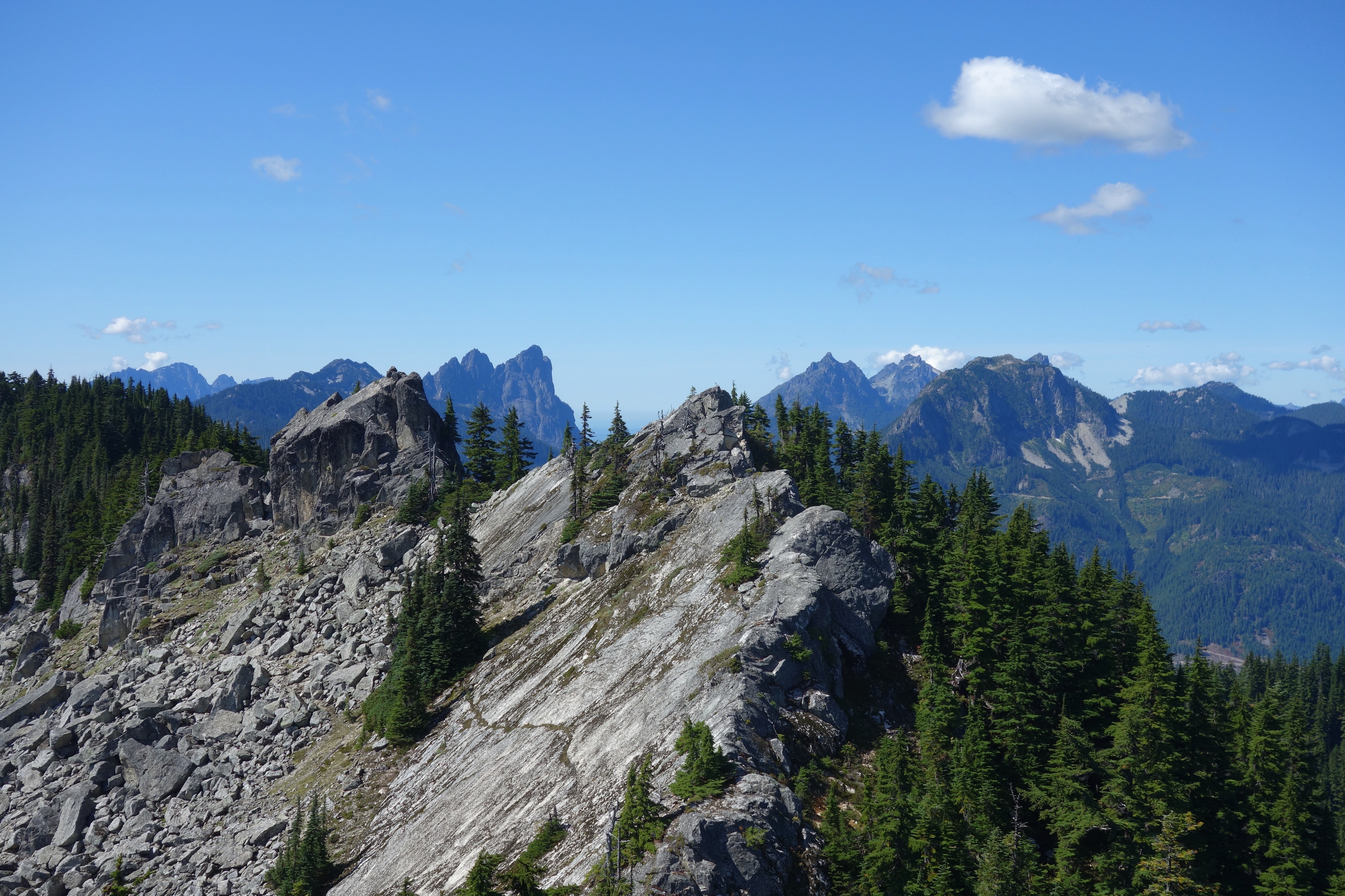
Views From The Wall
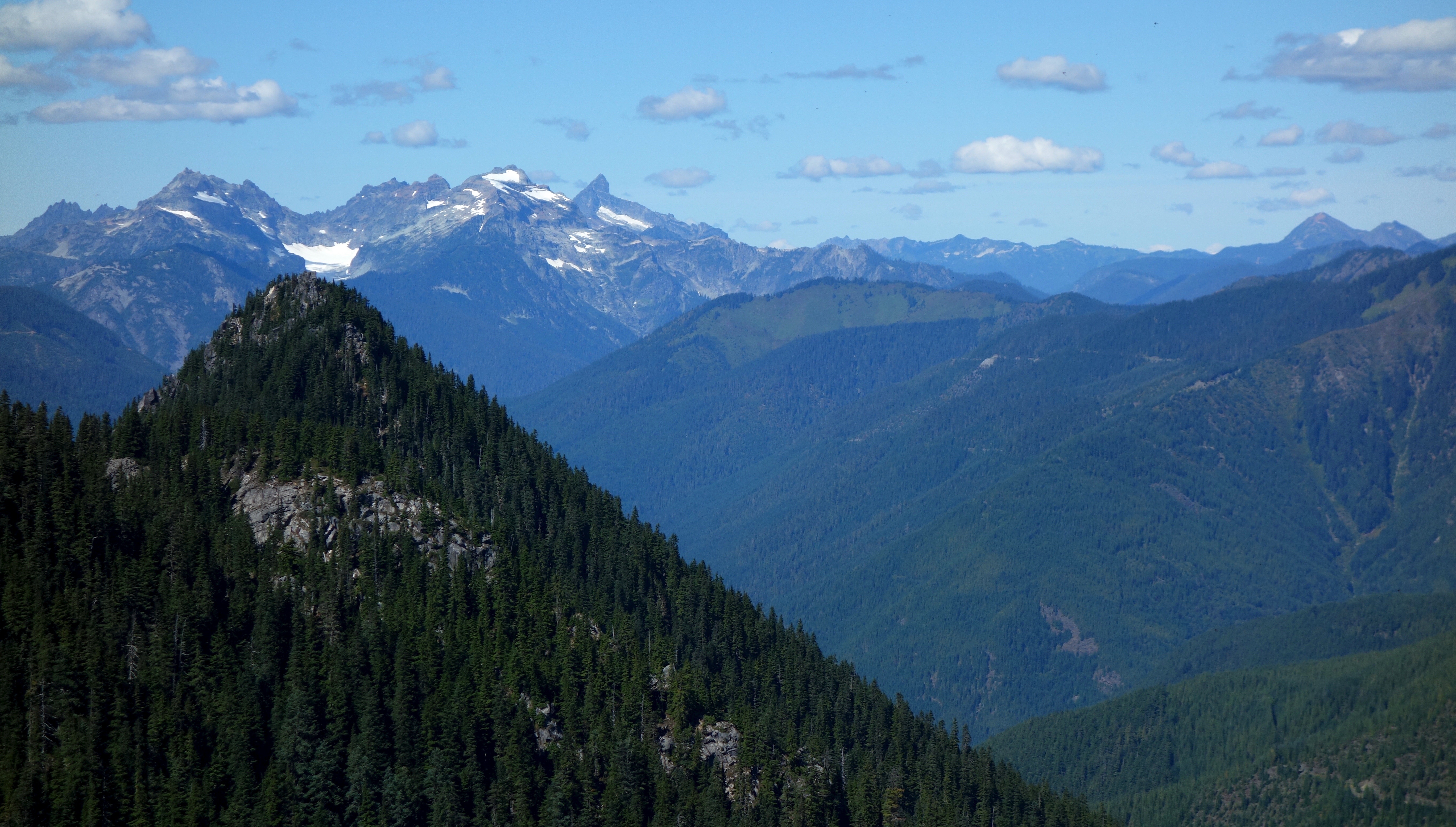
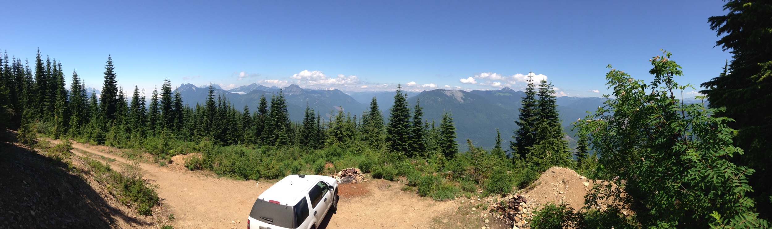
View from Beckler Peak
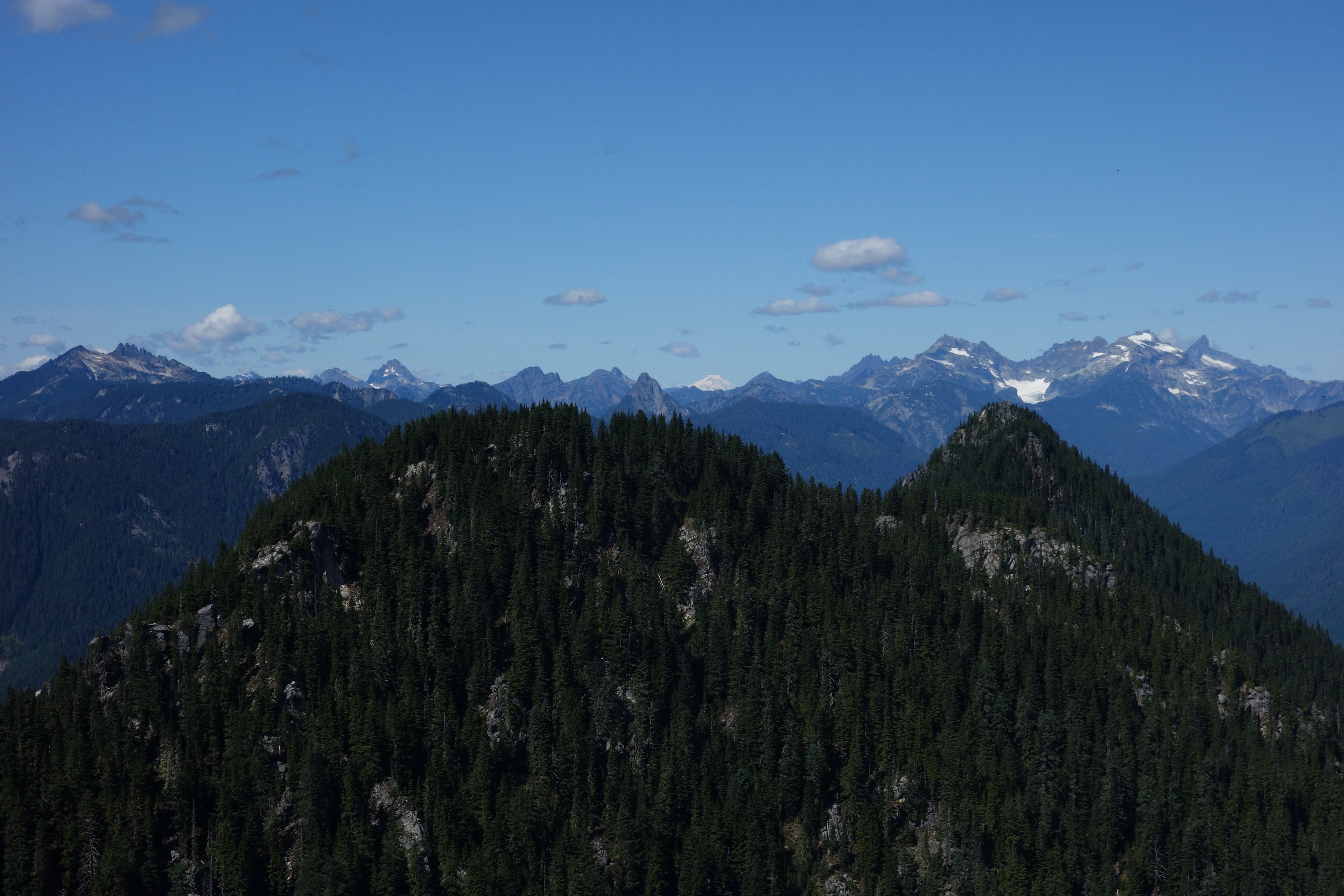
View from Beckler Peak
View from Beckler Peak
View from Great Northern Slab
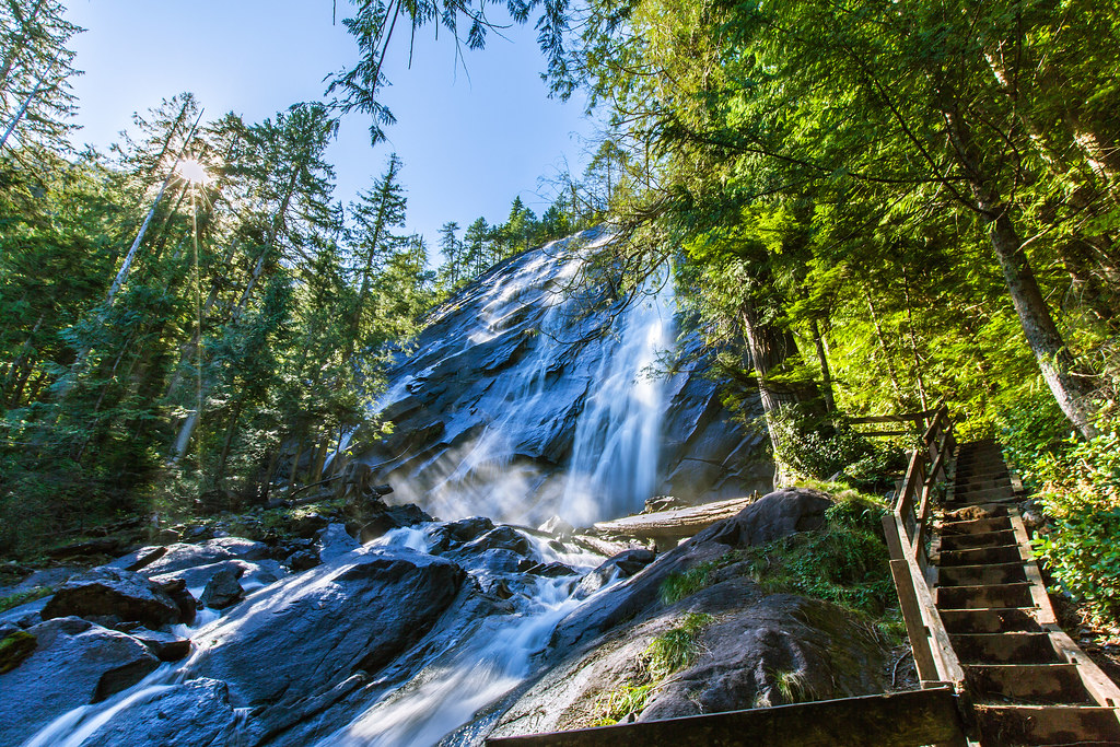
Bridal Veil Falls
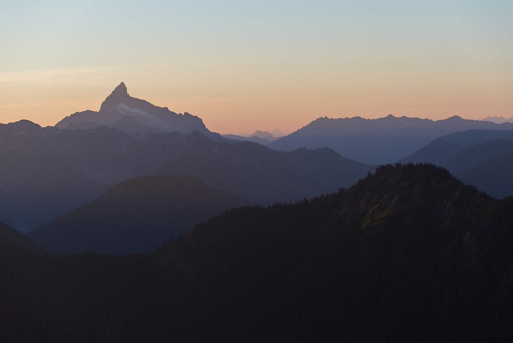
Dusk Dweller
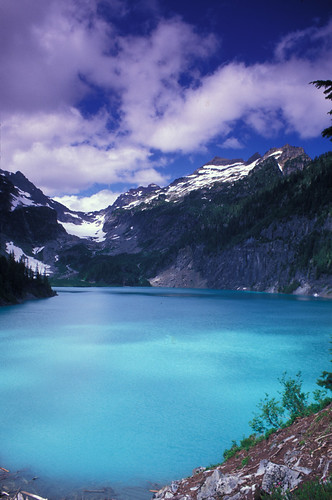
blanca view
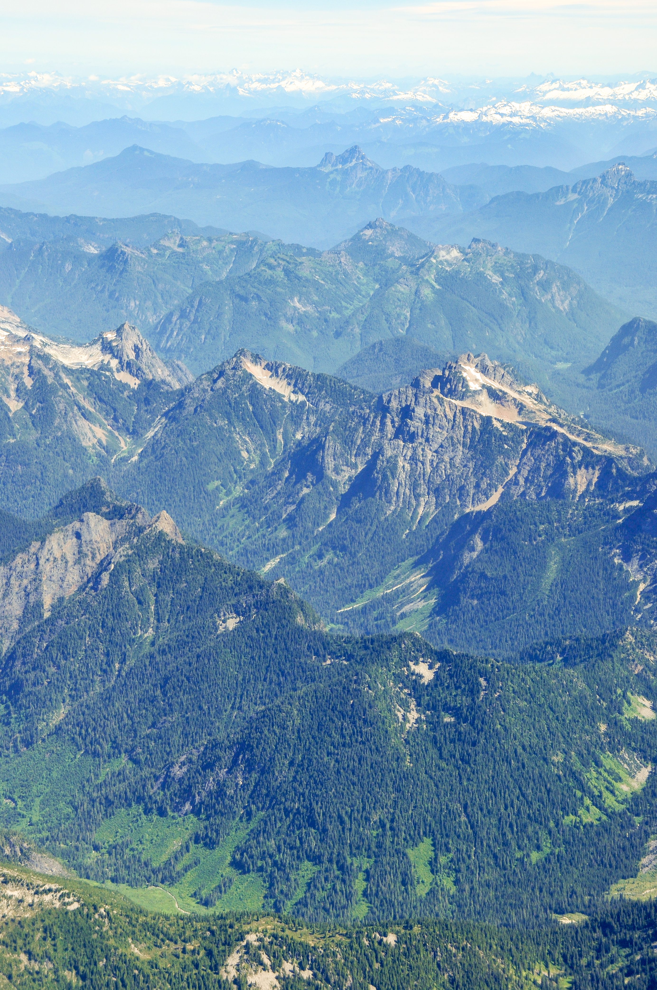
Mt. Baker-Snoqualmie National Forest
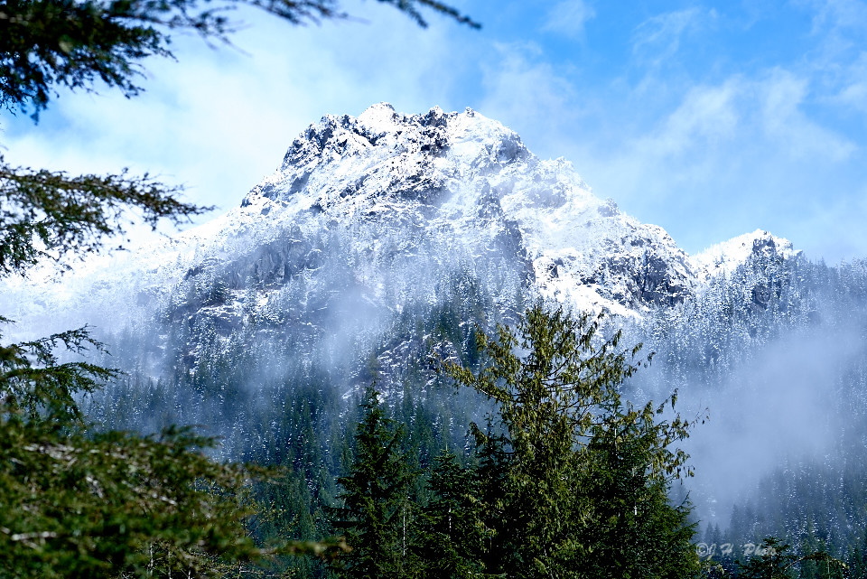
LonelyMountain 1
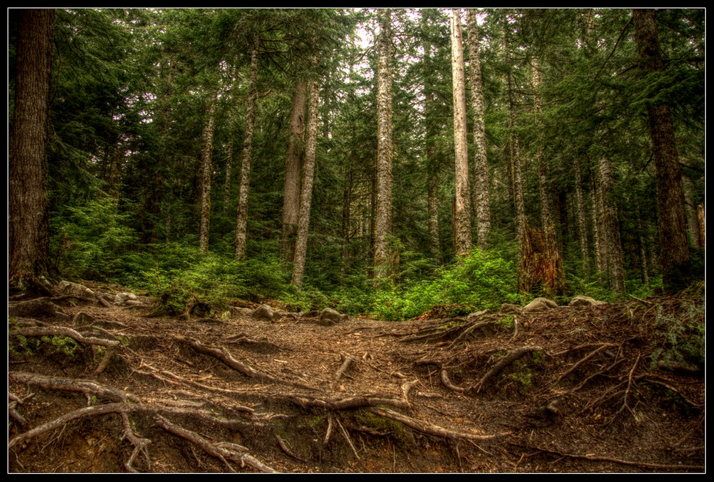
Forest Wall
View from Index
Day 195

Fernow and Alpine Baldy
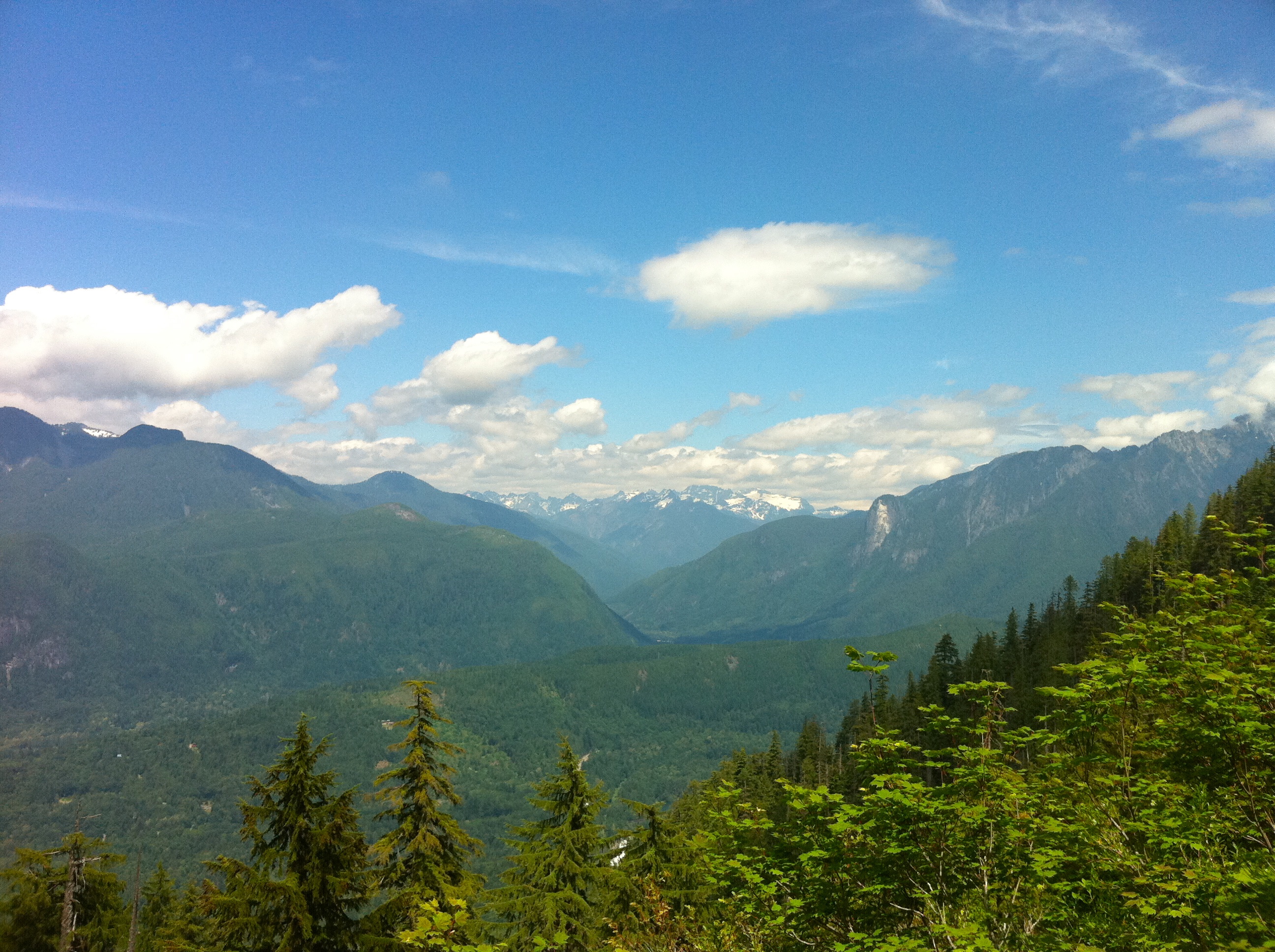
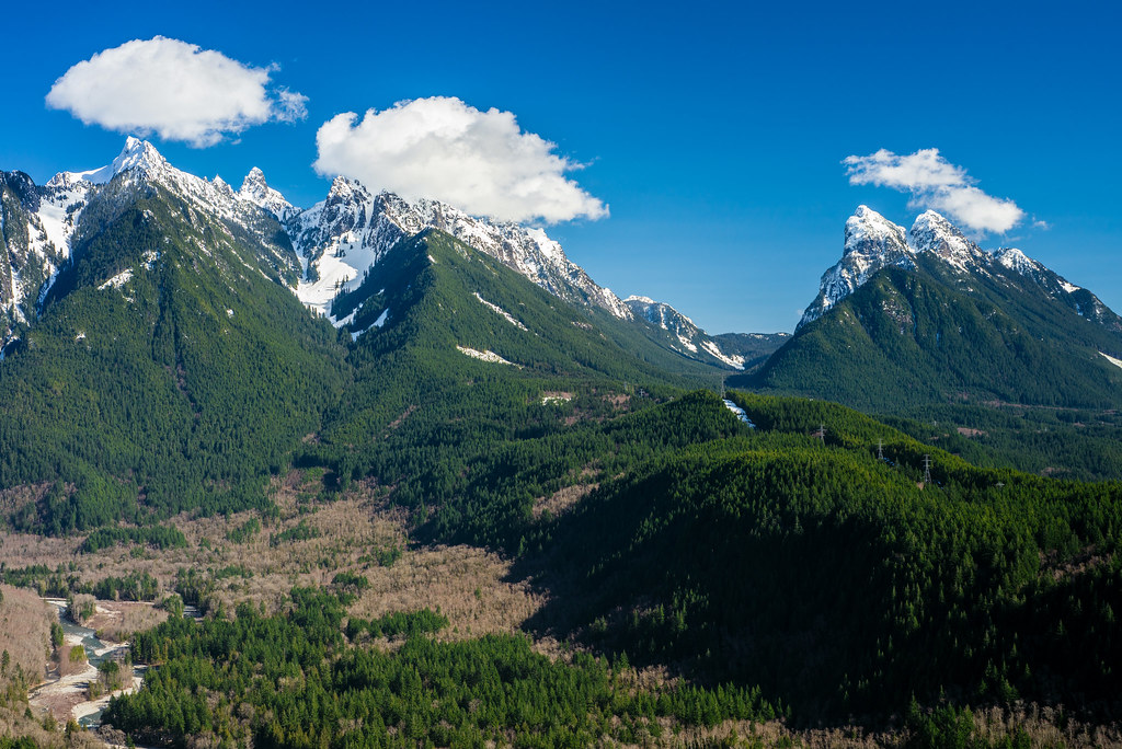
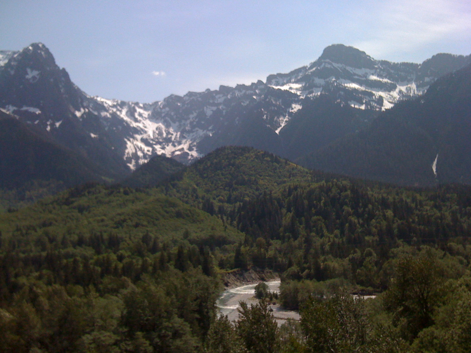
Valley view

View north from the Lake Serene Trail up the North Fork of the Skykomish River, Mt. Baker-Snoqualmie National Forest
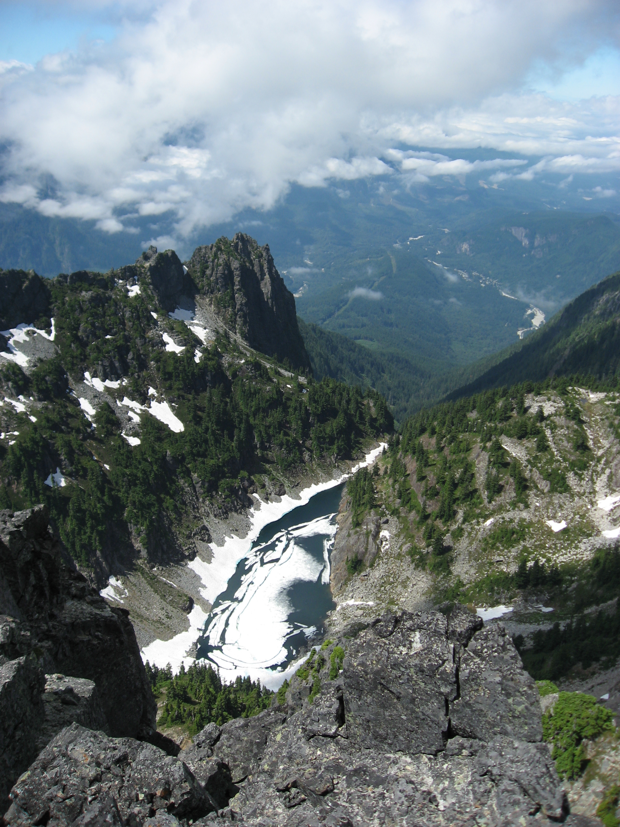
View from Gunn Peak
Gunn Peak
Tent with a view
View, filtered
Topographic Map of Townsend Mountain, Washington, USA
Find elevation by address:

Places near Townsend Mountain, Washington, USA:
Eagle Rock
Baring Mountain
Grotto
71675 Ne Old Cascade Hwy
Skykomish
Baring
Halford
53824 Us-2
Eagle Falls
50314 Mt Index River Rd
Seattle-tacoma-bellevue, Wa
Tonga Ridge
87224 Ne 121st St
th Pl NE, Skykomish, WA, USA
Scenic
Wellington
Stevens Pass
Stevens Pass
34293 S Nason Rd
Stevens Pass
Recent Searches:
- Elevation of Corso Fratelli Cairoli, 35, Macerata MC, Italy
- Elevation of Tallevast Rd, Sarasota, FL, USA
- Elevation of 4th St E, Sonoma, CA, USA
- Elevation of Black Hollow Rd, Pennsdale, PA, USA
- Elevation of Oakland Ave, Williamsport, PA, USA
- Elevation of Pedrógão Grande, Portugal
- Elevation of Klee Dr, Martinsburg, WV, USA
- Elevation of Via Roma, Pieranica CR, Italy
- Elevation of Tavkvetili Mountain, Georgia
- Elevation of Hartfords Bluff Cir, Mt Pleasant, SC, USA