Elevation of Town House Rd, Whitefield, ME, USA
Location: United States > Maine > Lincoln County > Whitefield >
Longitude: -69.624870
Latitude: 44.2052013
Elevation: 70m / 230feet
Barometric Pressure: 100KPa
Elevation Map:
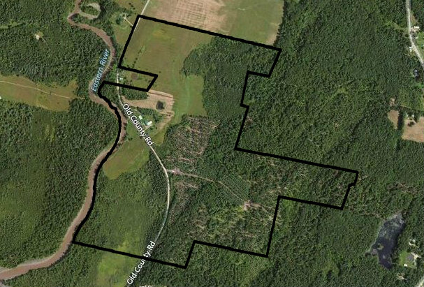
Satellite Map:
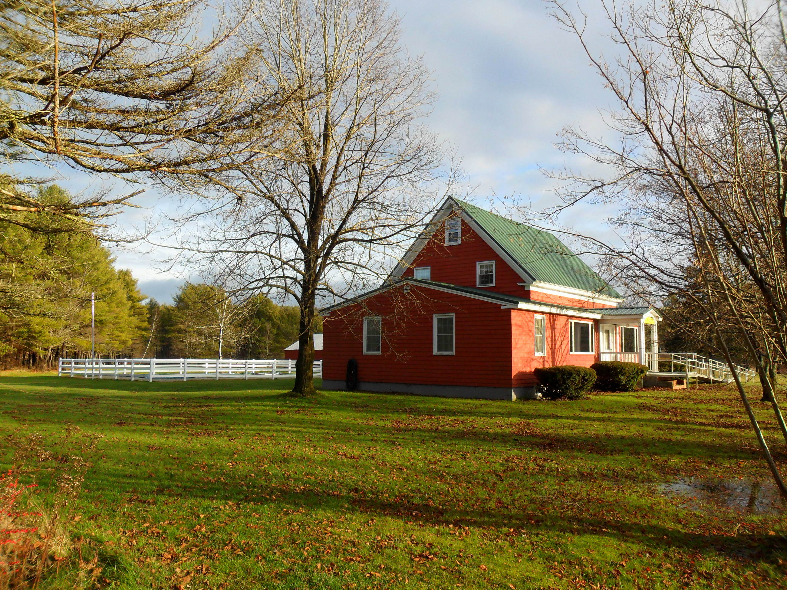
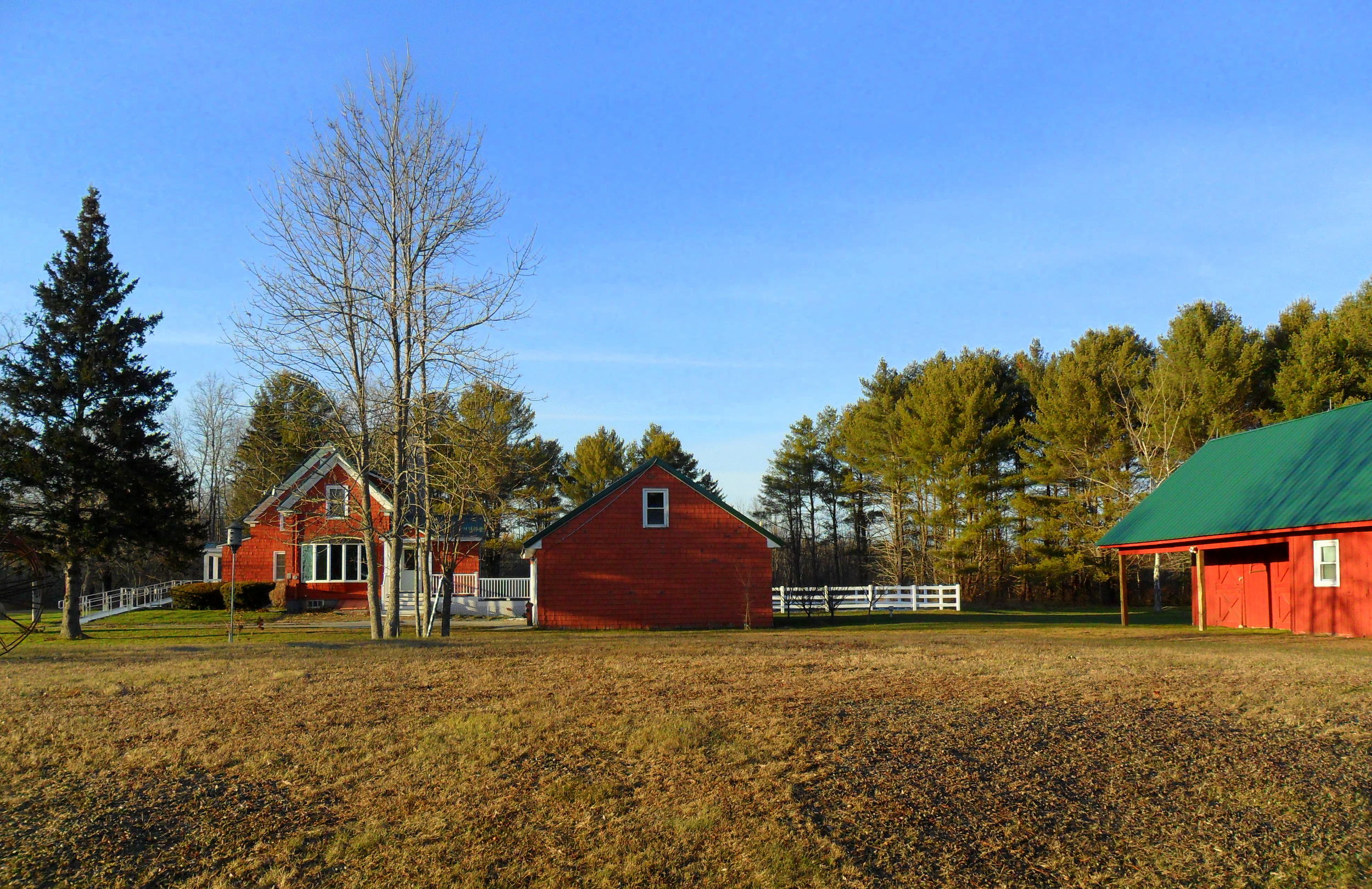
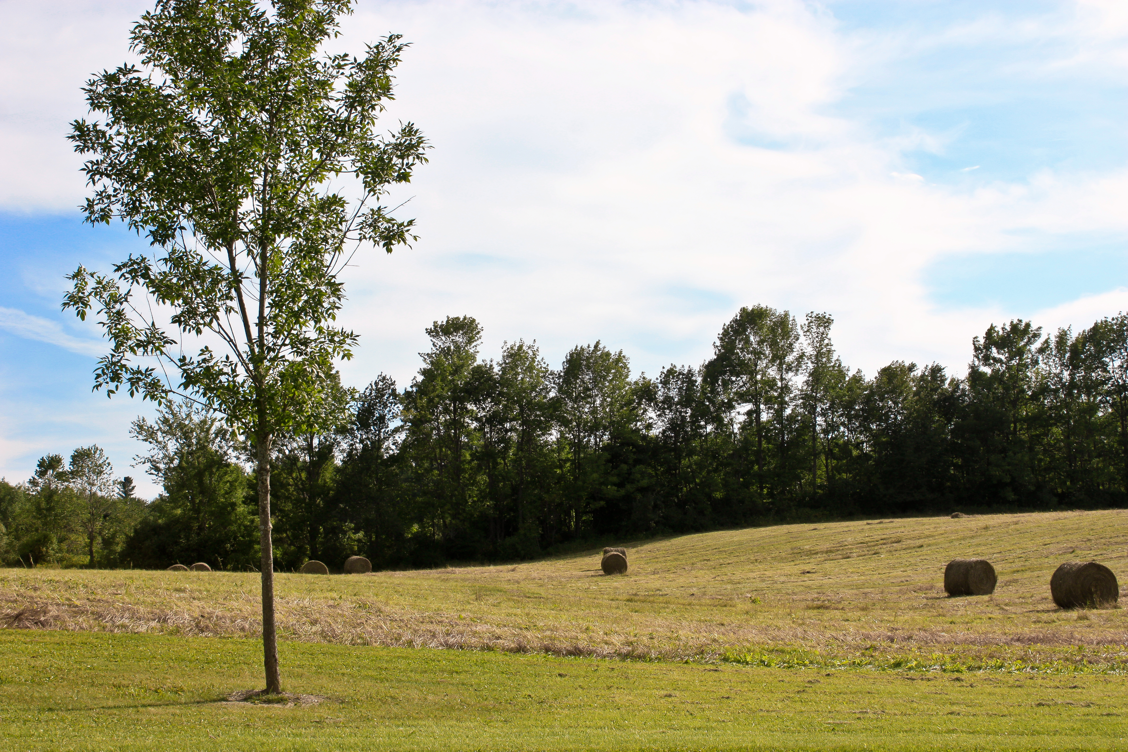
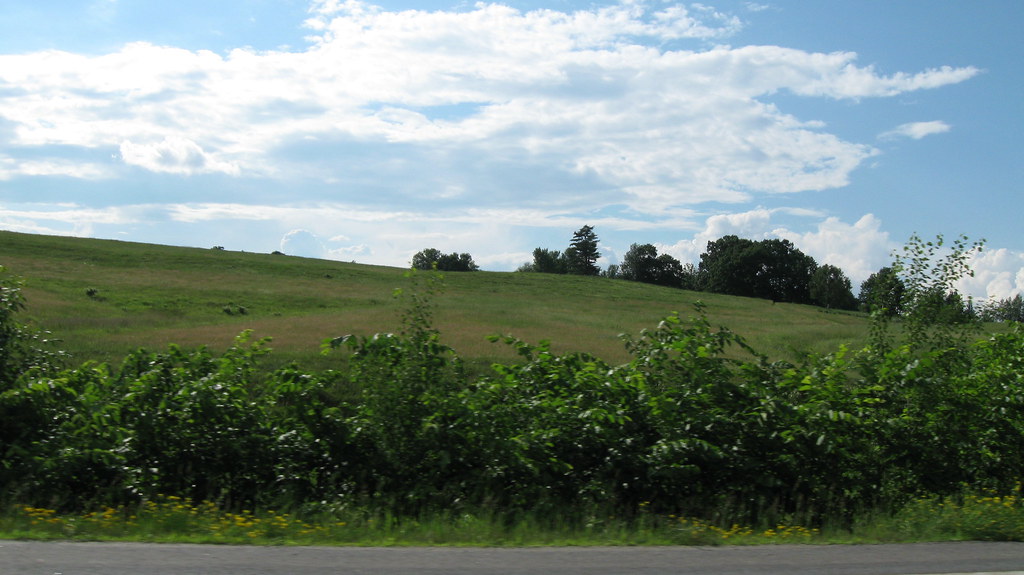
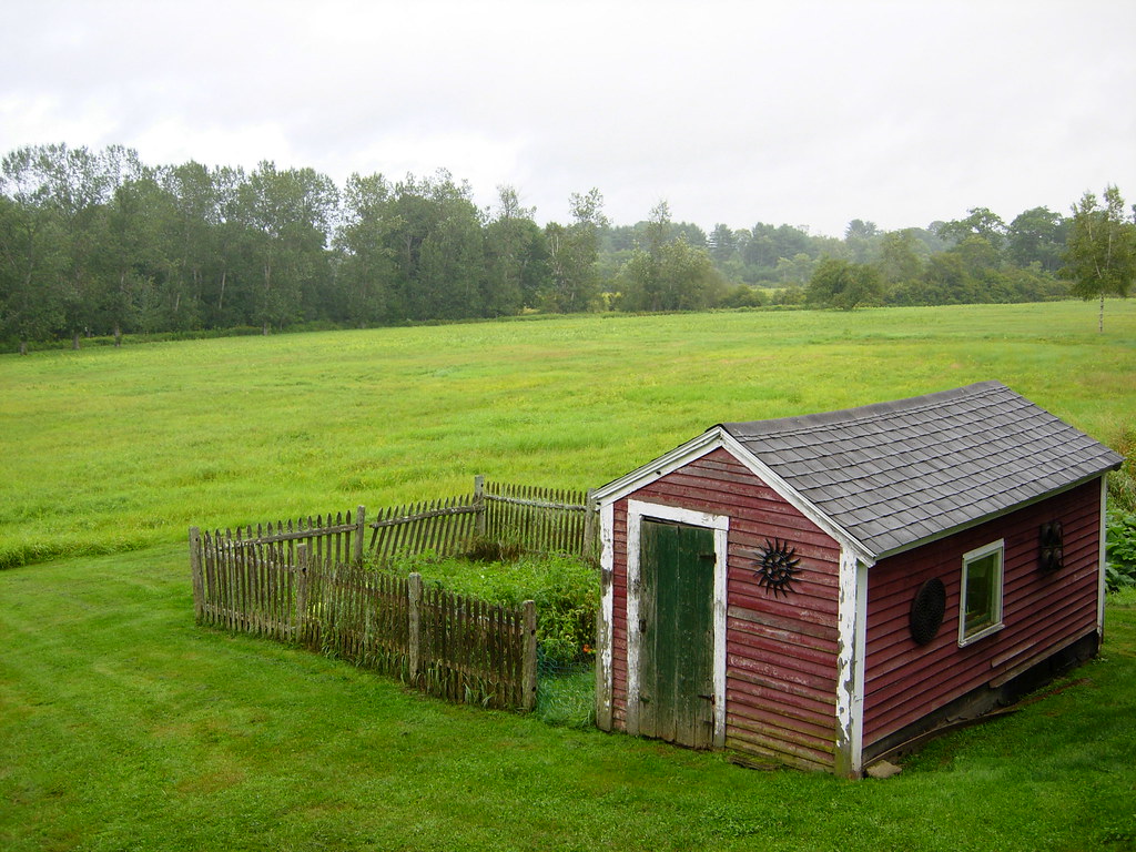
Related Photos:

Opposite view.

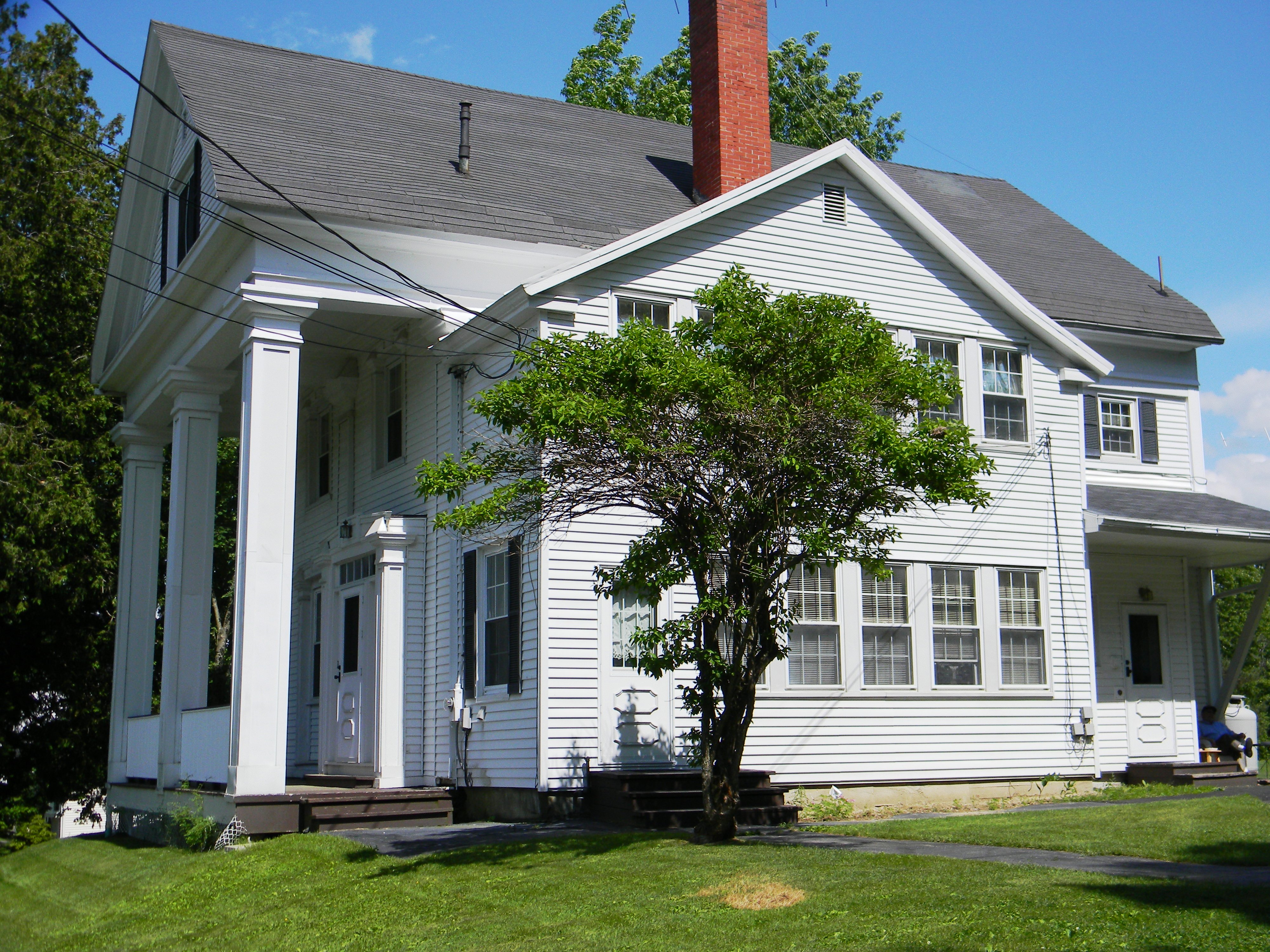
Fixer-Upper

Mum's Chicken Purse

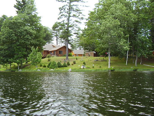
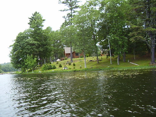
View Of The Lake

Riverfront View
19-side view
map view
1-side view

What now..?

Coming Thru

View From Above

Tough journey

Kennebec View
Log Cabin (corner view)
Log Cabin (side view)
Side View
Cottage on the lake
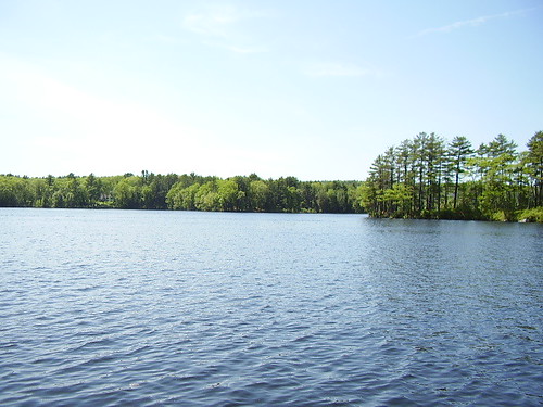
Damariscotta Lake

Vaughan Woods

Angry sky over the Kennebec River

#lookingup at today's beautiful sky!!

#blueskies are here again!

The Hobbit bridge over the waterfall

Orange-Glow

Hobbitland Spring 2010-7159

The stream

Sunset Over Dam

Hobbitland Waterfall

House Wren

The Hobbit bridge over the waterfall

Watery Glade

Tuesday Sunrise I

Salt Bay again

Kennebec River
Fall is coming
On the drive home

On shore across from Big DIpper Island
Head Tide Shed
Topographic Map of Town House Rd, Whitefield, ME, USA
Find elevation by address:

Places near Town House Rd, Whitefield, ME, USA:
543 Town House Rd
632 Town House Rd
632 Town House Rd
Whitefield
Miller's Garage
1213 Eastern Ave
208 Palmer Rd
Togus Rd, Chelsea, ME, USA
Chelsea
Wiscasset Rd, Pittston, ME, USA
Pittston
South Gardiner
Riverview Dr, Gardiner, ME, USA
183 Cedar Grove Rd
Farmingdale
7 Bowman St, Farmingdale, ME, USA
Gardiner
Water St, Gardiner, ME, USA
29 Bowman St
28 Sheldon St
Recent Searches:
- Elevation of Redondo Ave, Long Beach, CA, USA
- Elevation of Sadovaya Ulitsa, 20, Rezh, Sverdlovskaya oblast', Russia
- Elevation of Ulitsa Kalinina, 79, Rezh, Sverdlovskaya oblast', Russia
- Elevation of 72-31 Metropolitan Ave, Middle Village, NY, USA
- Elevation of 76 Metropolitan Ave, Brooklyn, NY, USA
- Elevation of Alisal Rd, Solvang, CA, USA
- Elevation of Vista Blvd, Sparks, NV, USA
- Elevation of 15th Ave SE, St. Petersburg, FL, USA
- Elevation of Beall Road, Beall Rd, Florida, USA
- Elevation of Leguwa, Nepal