Elevation of Town Hill Rd, Wolcott, VT, USA
Location: United States > Vermont > Lamoille County > Wolcott >
Longitude: -72.452747
Latitude: 44.577906
Elevation: 397m / 1302feet
Barometric Pressure: 97KPa
Elevation Map:
Satellite Map:
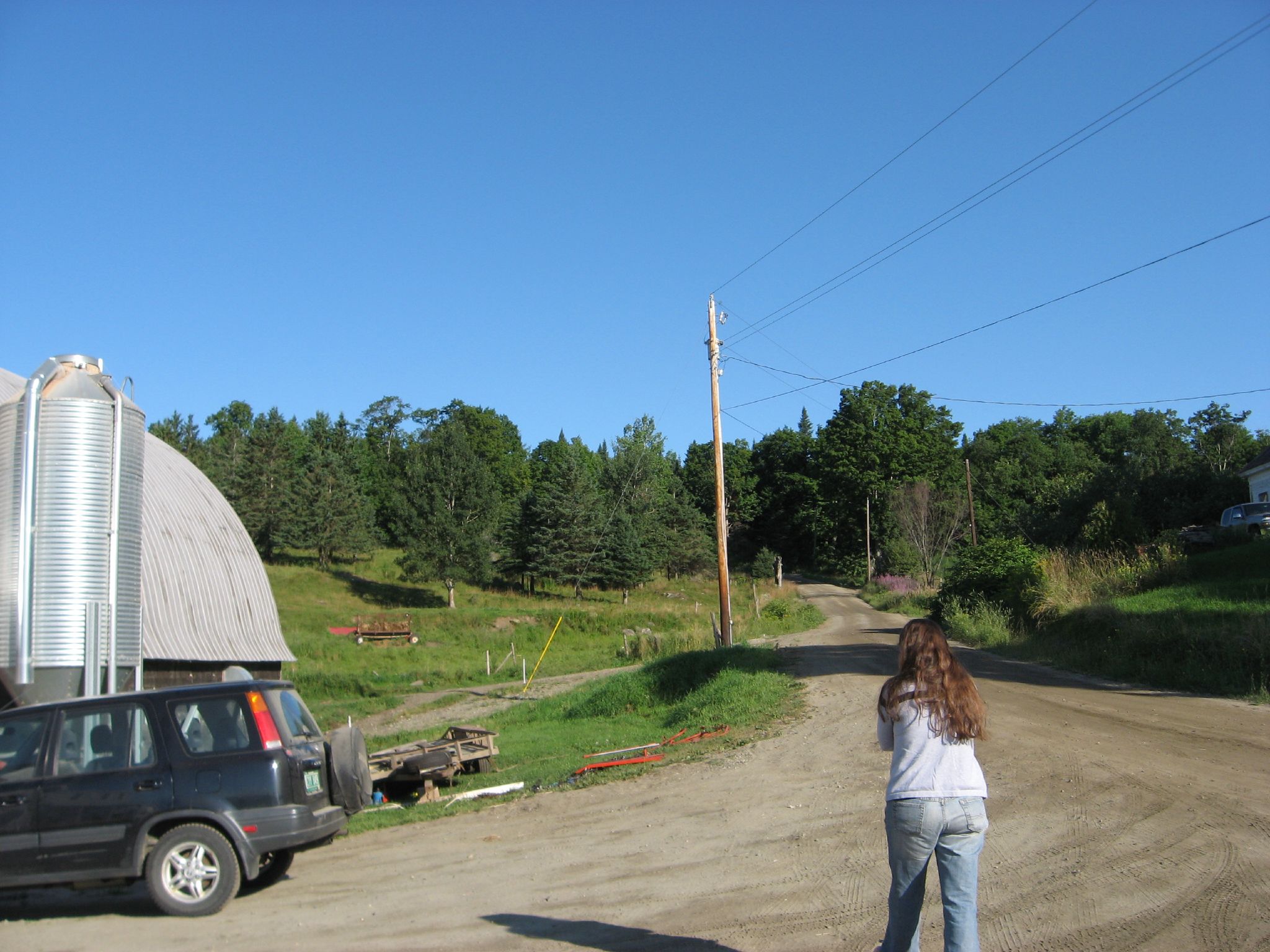
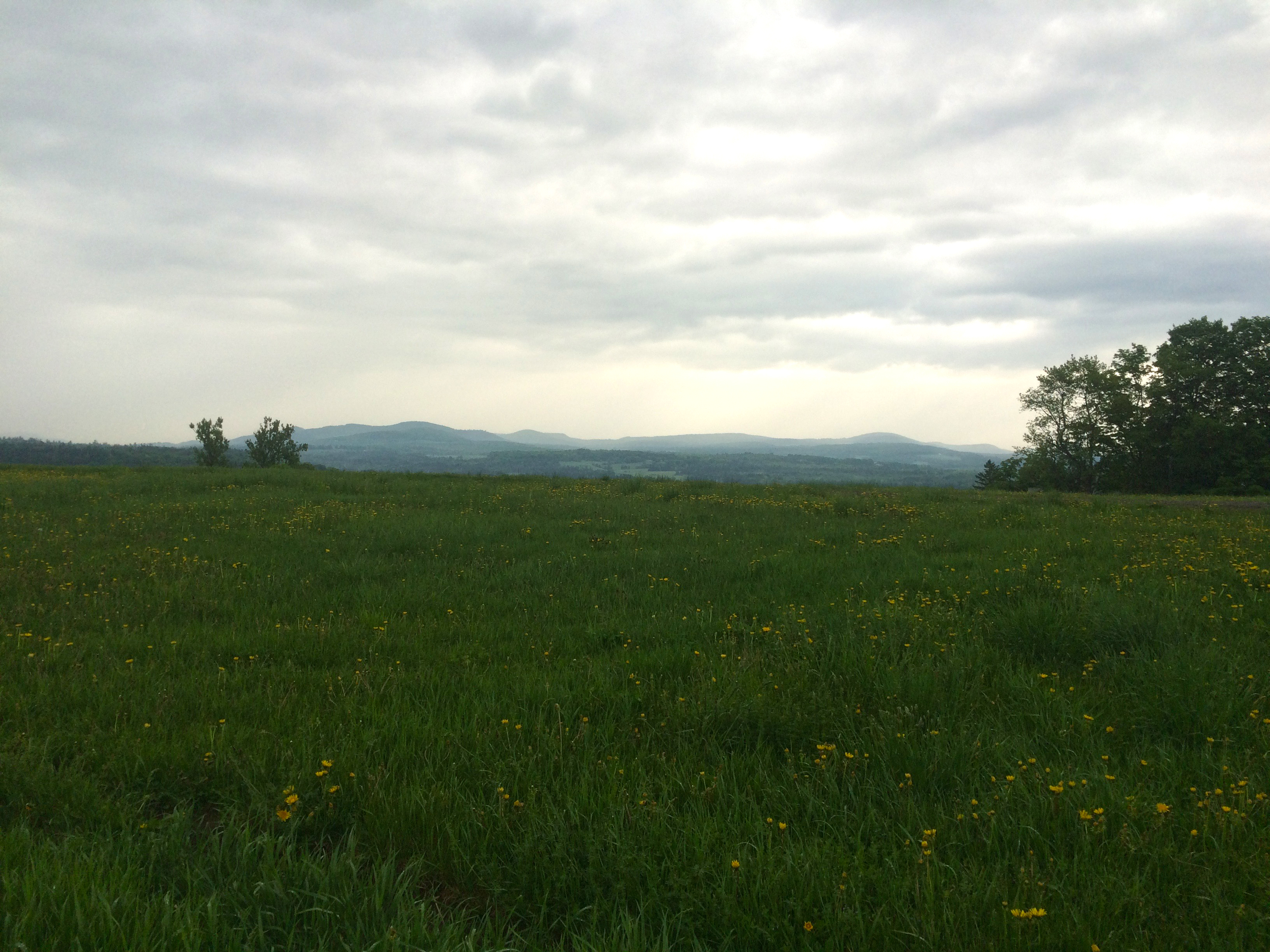
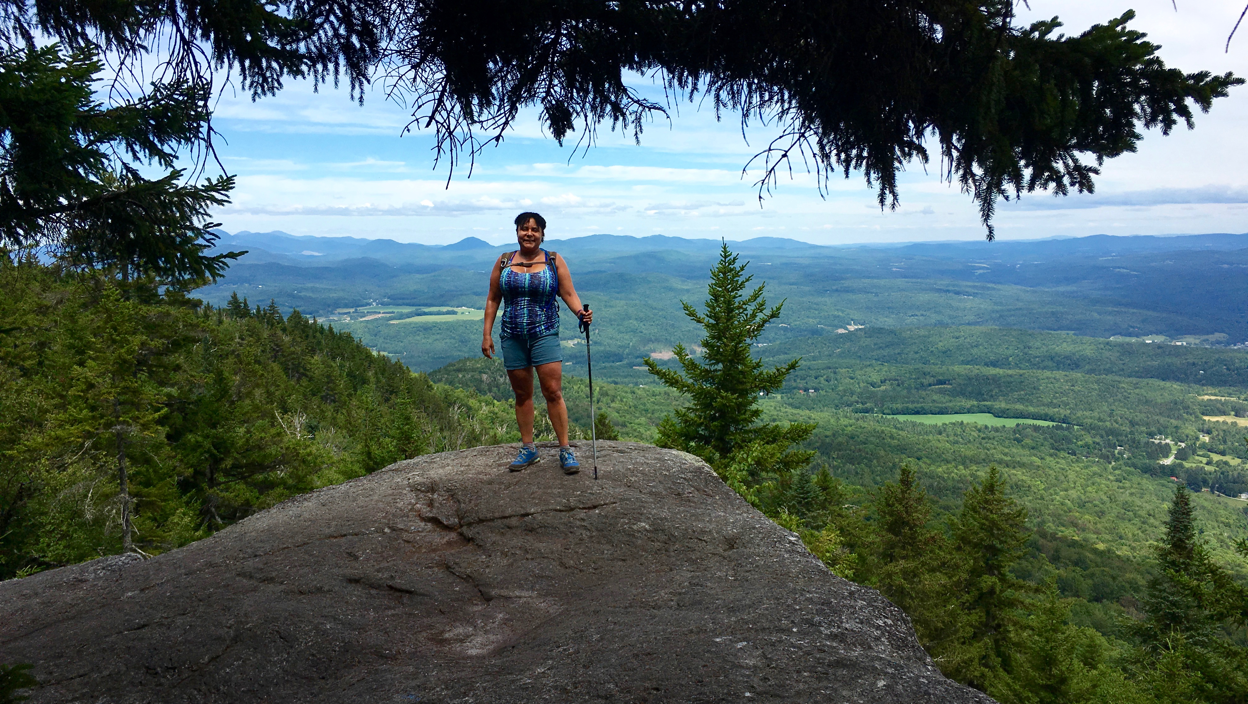
Related Photos:

Views From the Green
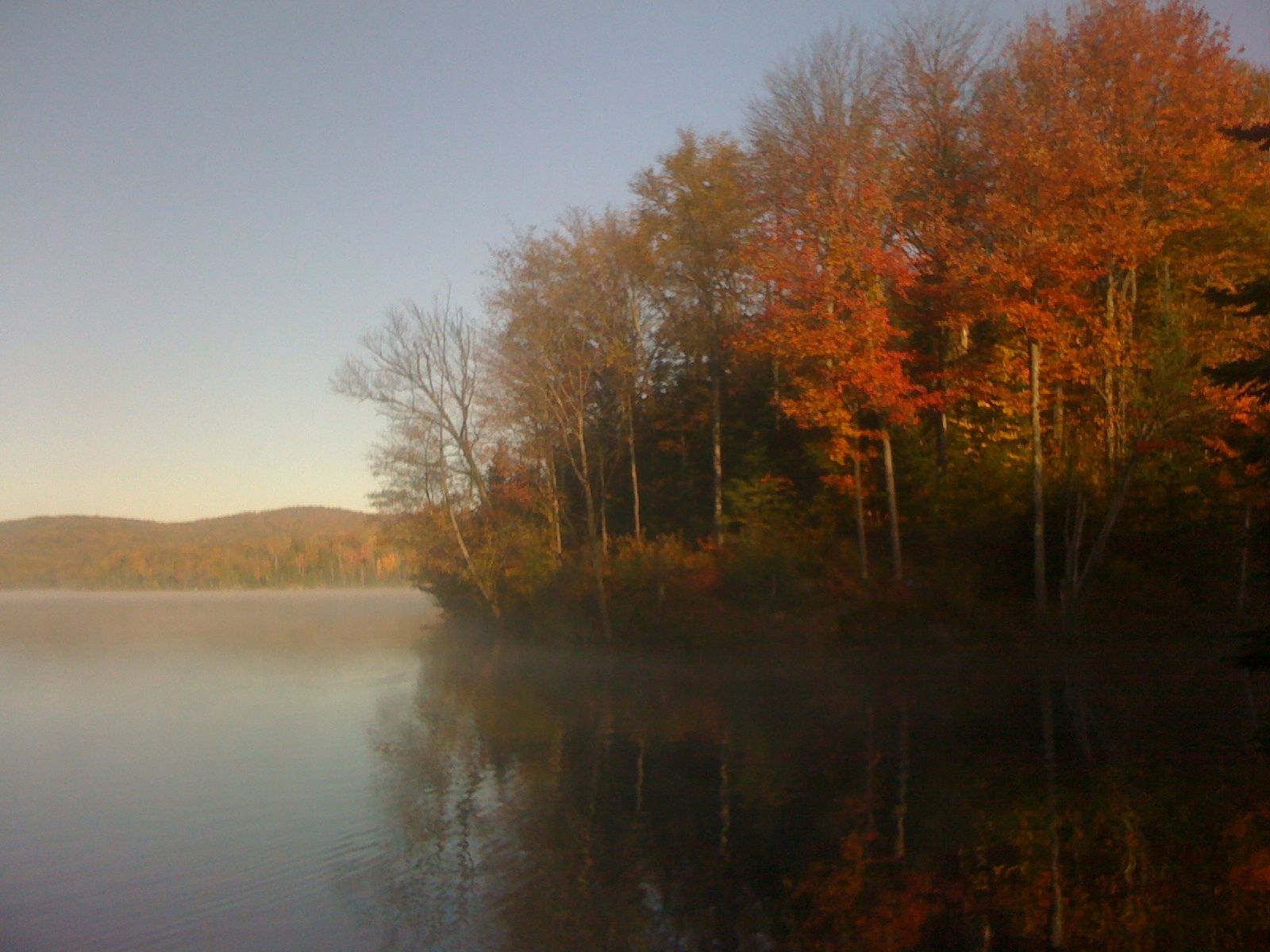
Early AM view at Green River Rez
Honeymoon suite

IMG_1350.CR2
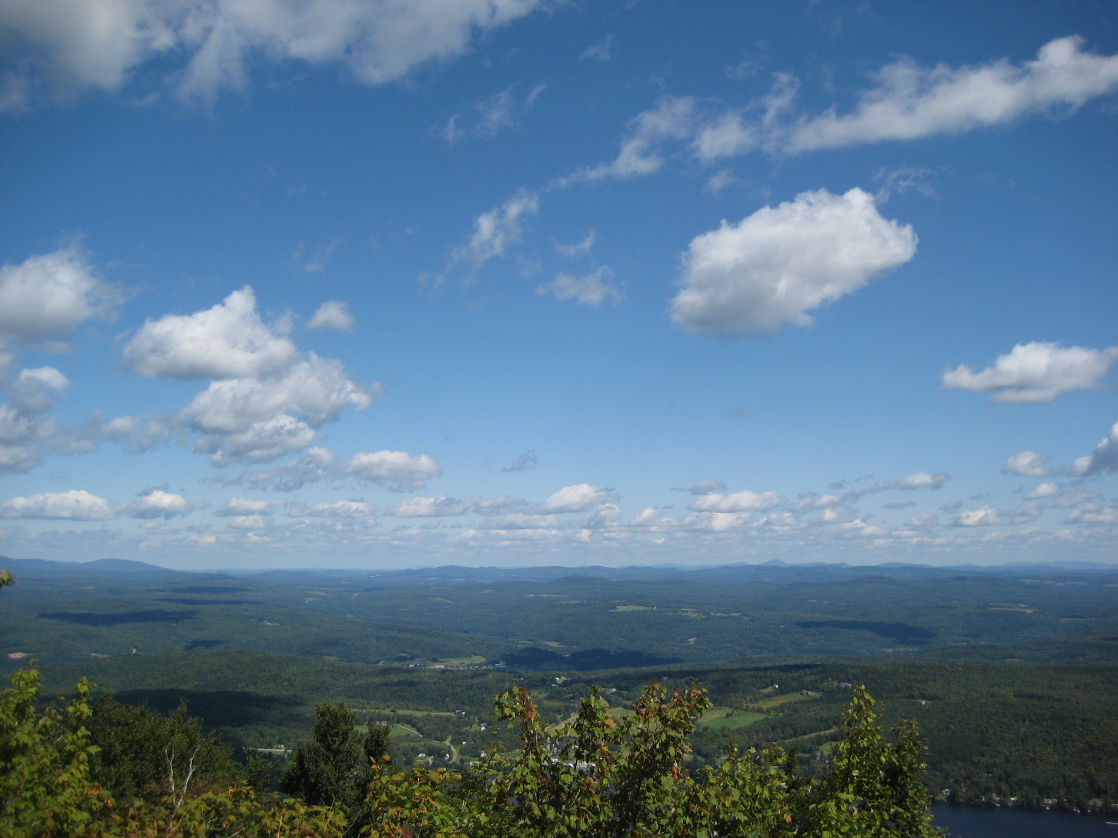
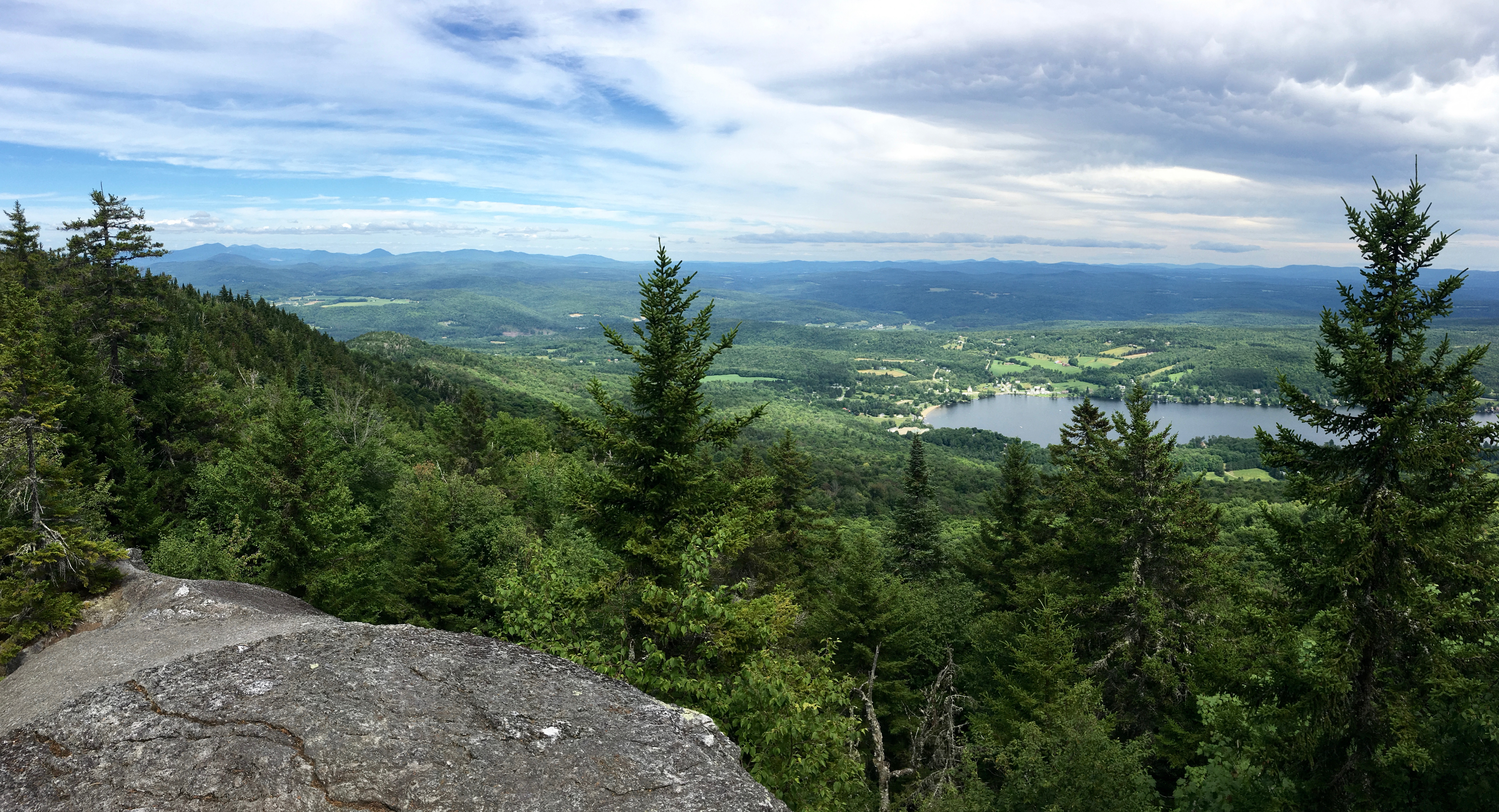
View of Lamoille Valley from trail lookout at Mt Elmore at Elmore State Park, VT
IMG_1343.CR2
Thoughtful Thorson
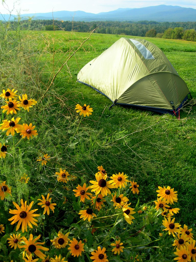
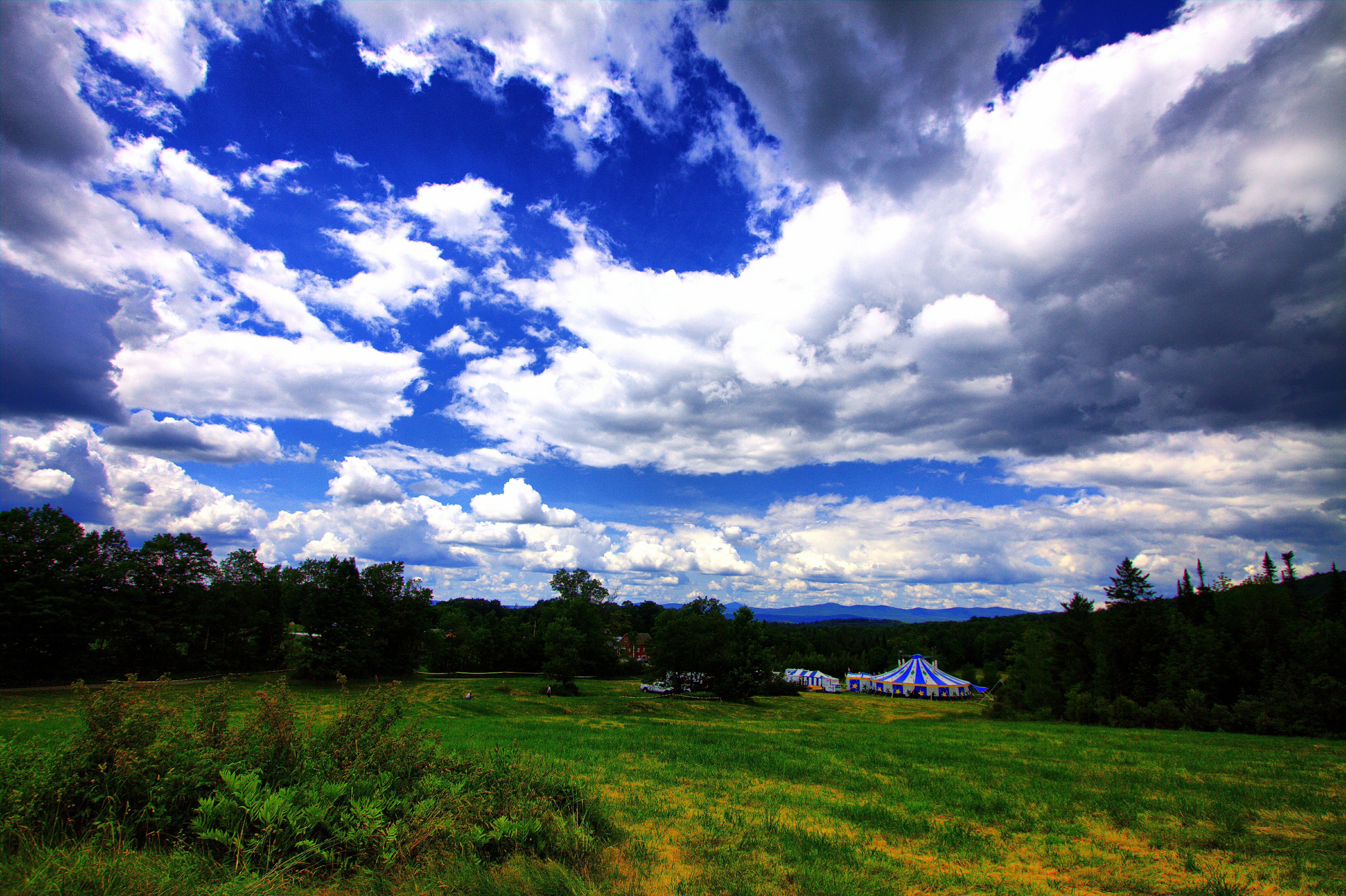
2007-05-27 Panteria View w Tent
View from the front yard
Upstairs Cabin View

Webster Barn

Had a great time of fellowship with the Powell family while at Mountain View Campground in Vermont
View of the new cave site
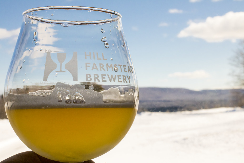
Enjoying the beer at Hill Farmstead
View from Gardens_1428
Mel @ View
View Pano

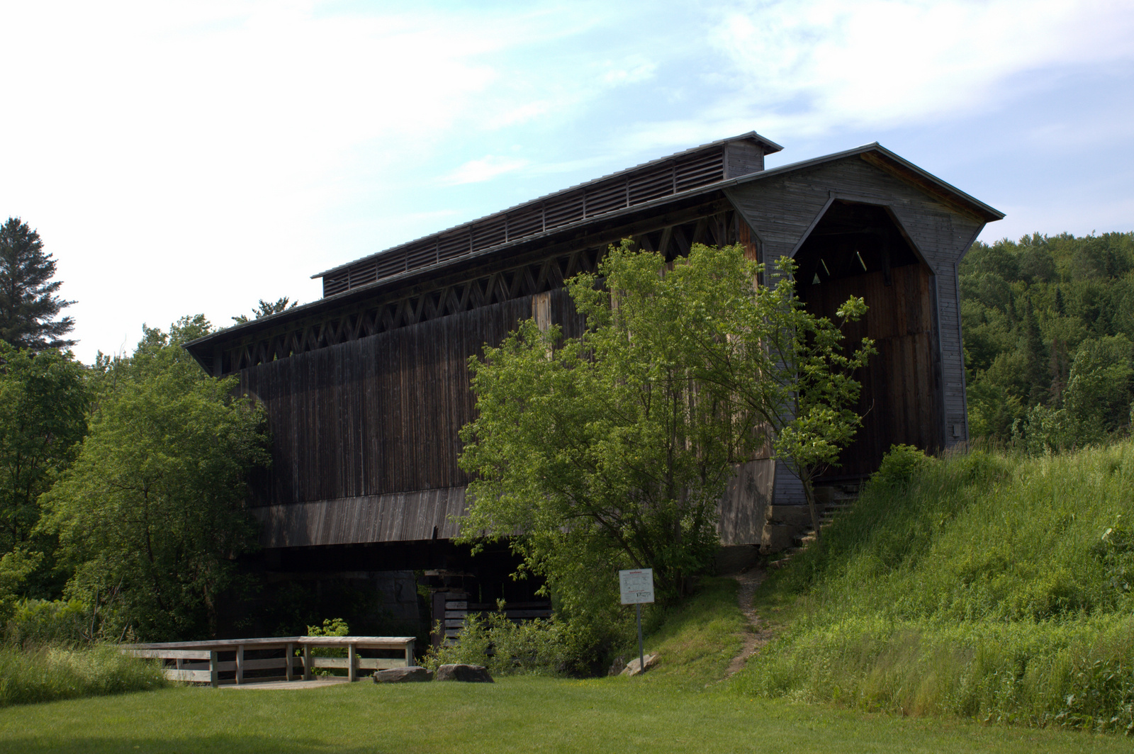
Fisher Railroad Bridge, Vermont (VT-08-16) (DSH_5512-13)
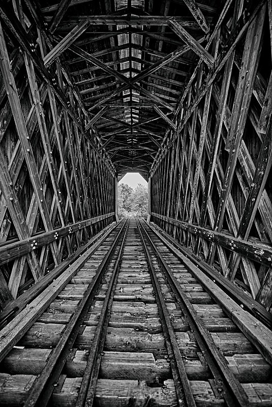
A Look Inside - Fisher Railroad Bridge, Vermont (VT-08-16) (DSH_5525-26)

Setting over Mansfield

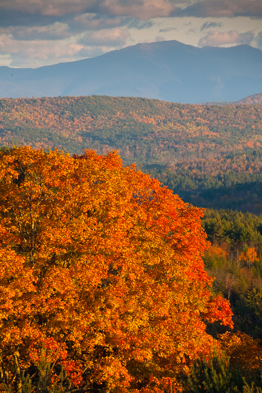
Mount Elmore and The Moon
Greensboro Overview

Craftsbury Retreat

Greenwood Lake Foliage
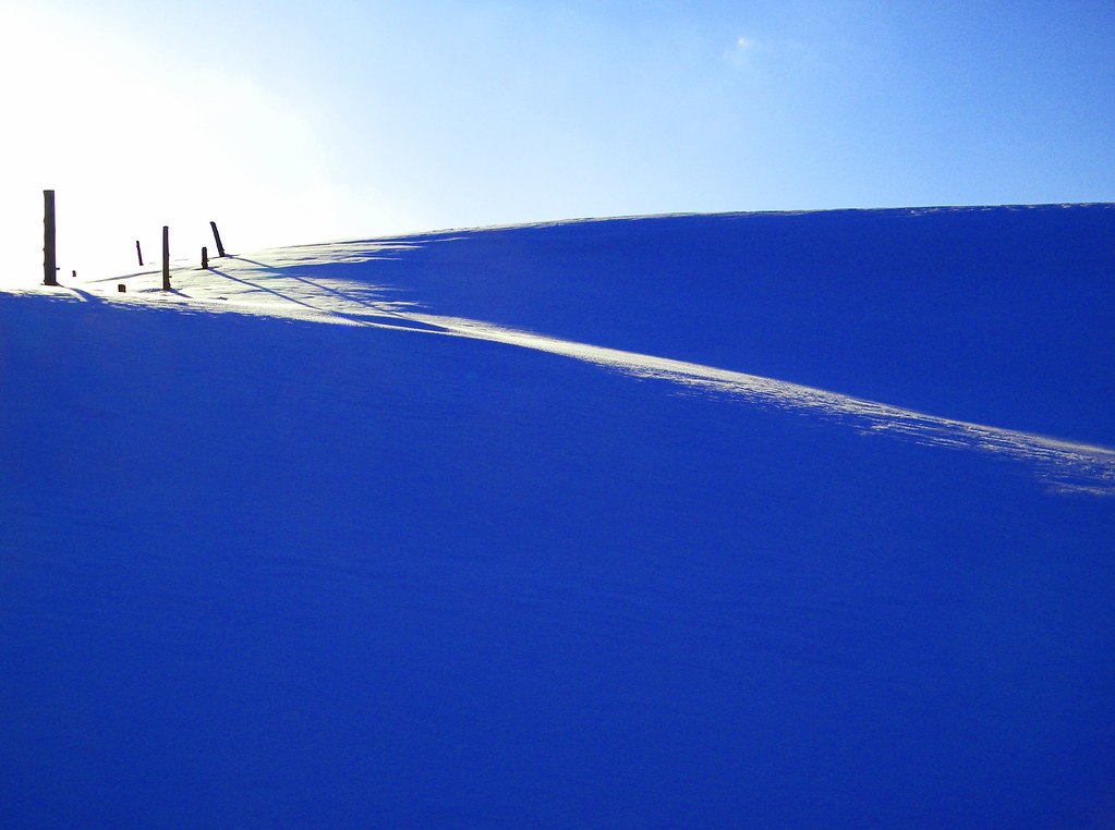
january blues

Vermont Night Life
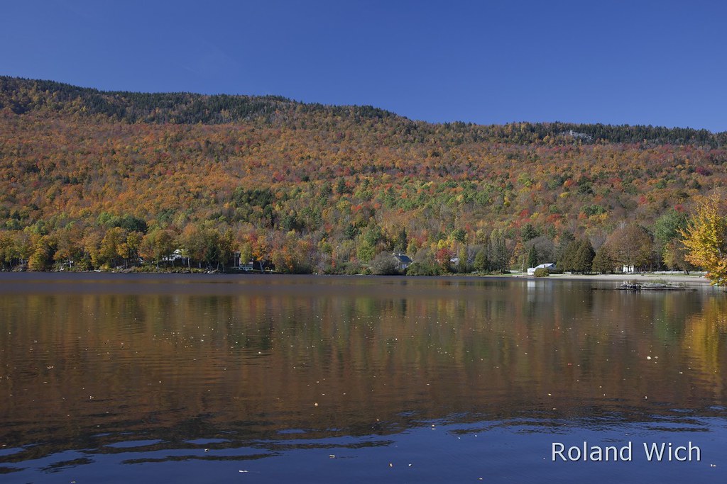
Lake Elmore

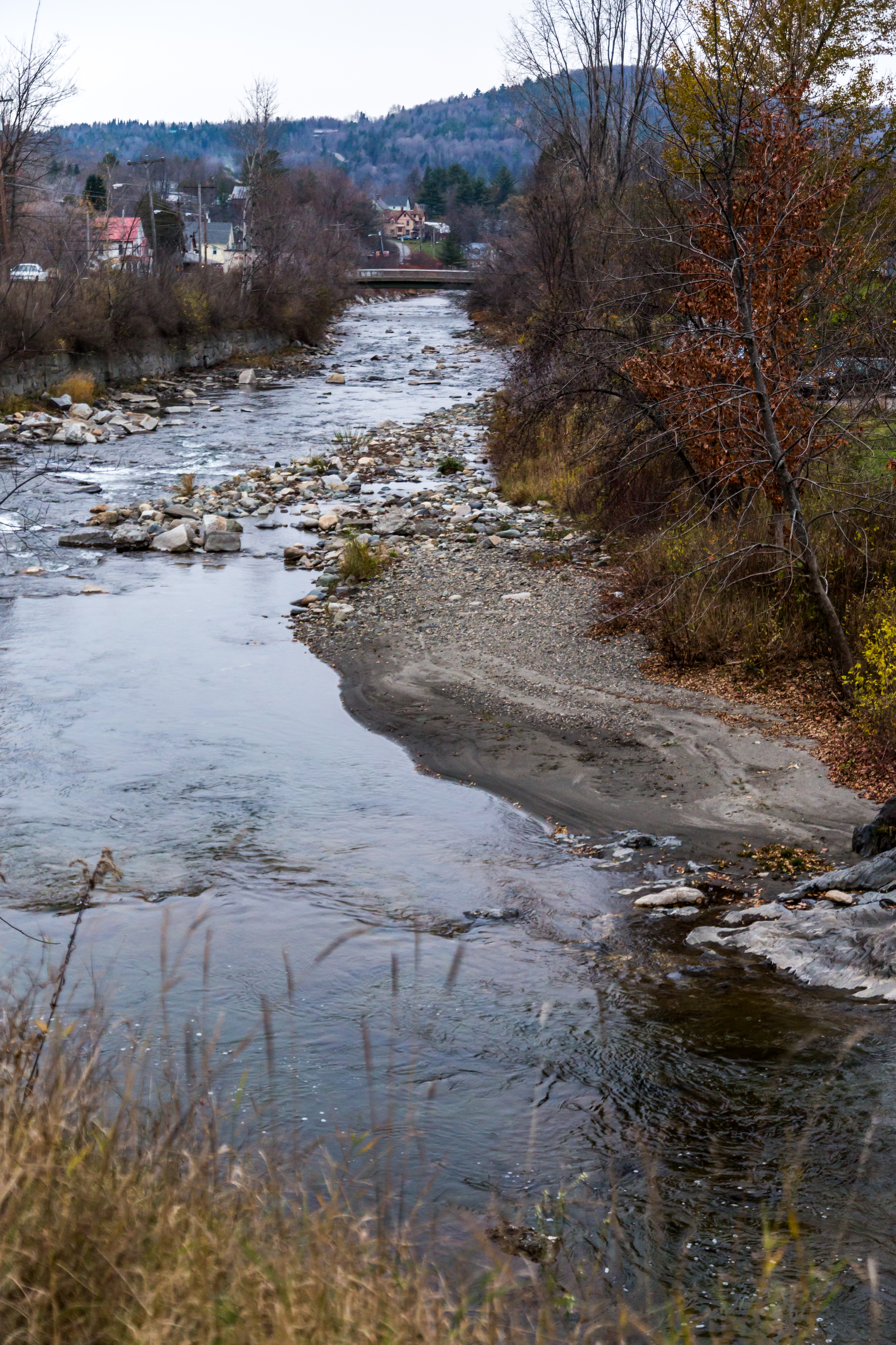
Terrill Gorge - Vermont

Elmore Sunset 1

Golden frost
Vermont Brilliance

USA_Mill Village (Craftsbury)01_Vermont

Terrill Gorge

Vermont Red Barn Sunset
untitled (37 of 98)

Ducklings (twilight reprise)

Terrill Gorge

Muddy Vermont Spring
Topographic Map of Town Hill Rd, Wolcott, VT, USA
Find elevation by address:

Places near Town Hill Rd, Wolcott, VT, USA:
53 Heath Rd
779 E Hill Rd
2948 E Hill Rd
Wolcott
4197 Town Hill Rd
21 Reed Rd, Wolcott, VT, USA
1191 Baldwin Brook Rd
1153 Brook Rd
2322 Elmore Pond Rd
2083 Elmore Pond Rd
Garfield Road
3154 Vt-15
Elmore
Draper Farm Road
856 Vt-12
Lacasse Road
Micklin Farm Road
1002 Hardwood Flats Rd
Elmore Mountain
Diggins Road
Recent Searches:
- Elevation of Jalan Senandin, Lutong, Miri, Sarawak, Malaysia
- Elevation of Bilohirs'k
- Elevation of 30 Oak Lawn Dr, Barkhamsted, CT, USA
- Elevation of Luther Road, Luther Rd, Auburn, CA, USA
- Elevation of Unnamed Road, Respublika Severnaya Osetiya — Alaniya, Russia
- Elevation of Verkhny Fiagdon, North Ossetia–Alania Republic, Russia
- Elevation of F. Viola Hiway, San Rafael, Bulacan, Philippines
- Elevation of Herbage Dr, Gulfport, MS, USA
- Elevation of Lilac Cir, Haldimand, ON N3W 2G9, Canada
- Elevation of Harrod Branch Road, Harrod Branch Rd, Kentucky, USA