Elevation map of Torrance County, NM, USA
Location: United States > New Mexico >
Longitude: -105.96998
Latitude: 34.6784317
Elevation: 1844m / 6050feet
Barometric Pressure: 81KPa
Elevation Map:
Satellite Map:
Related Photos:

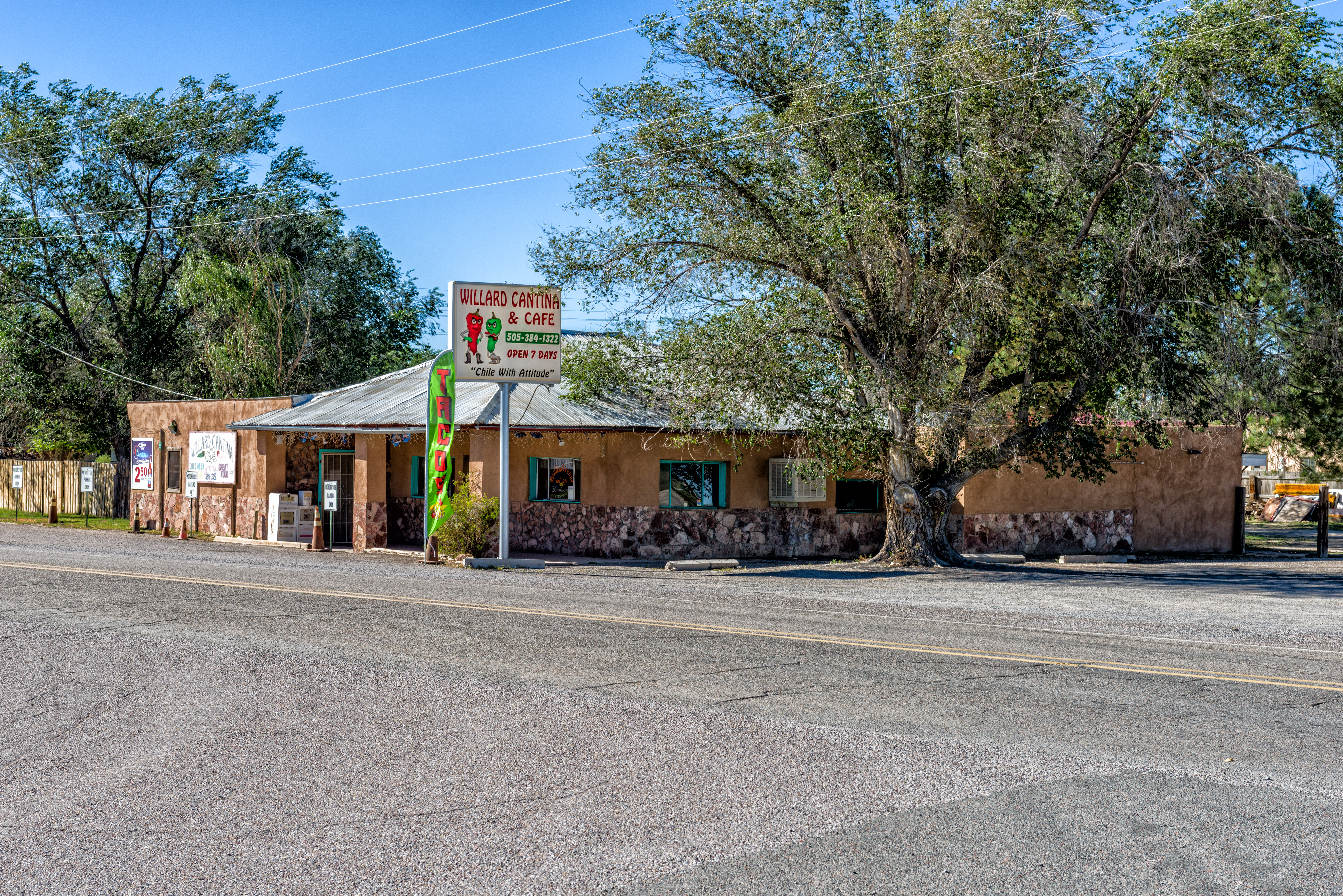
Torrance County Road A049

Torrance County Road A049
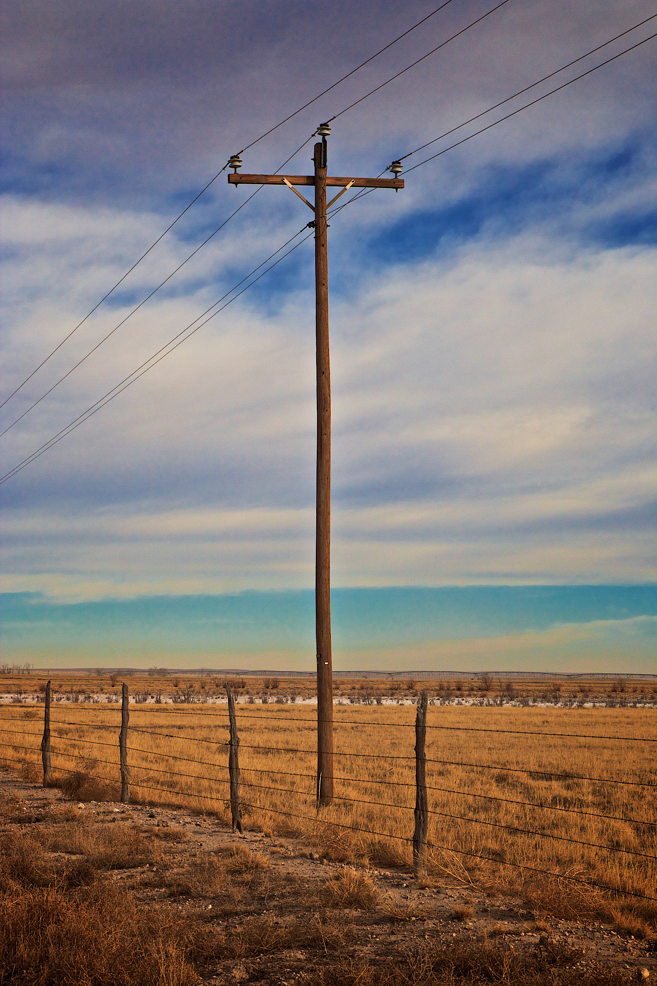
Torrance County Road A049
29CW2796.jpg
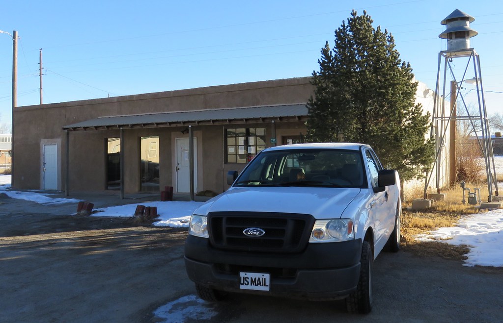
Post Office 87063 (Willard, New Mexico)
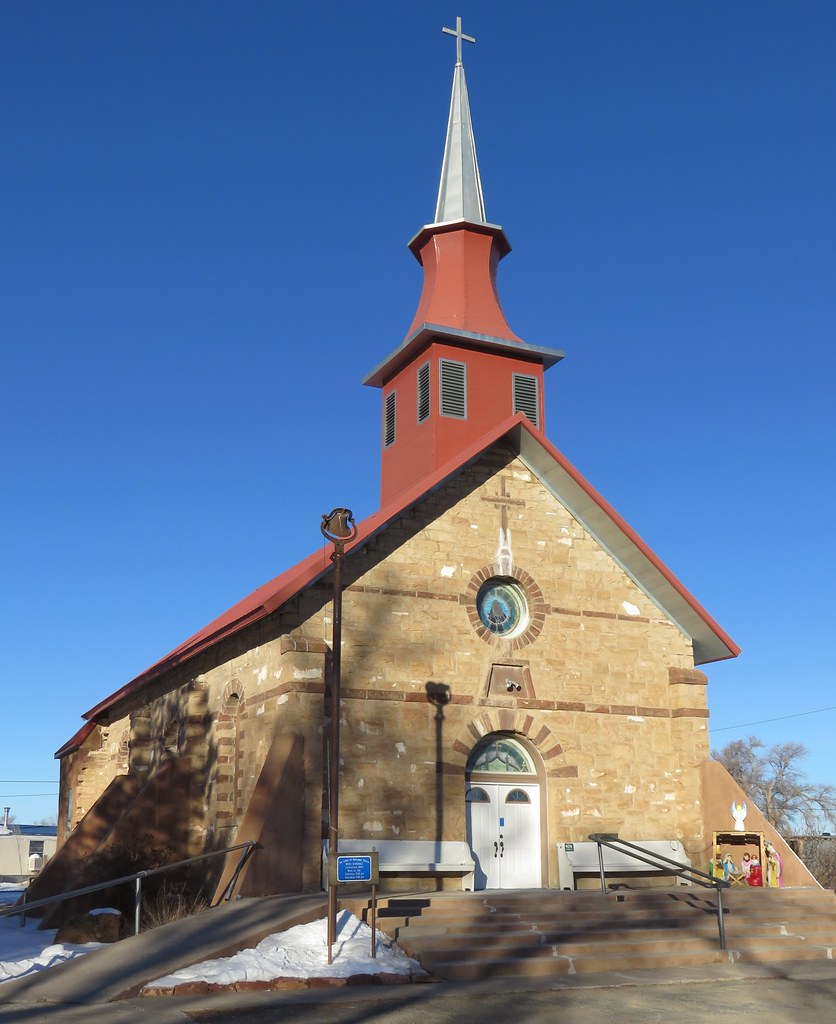
Our Lady of Sorrows Church (Willard, New Mexico)

Equity Exchange_Estancia,NM
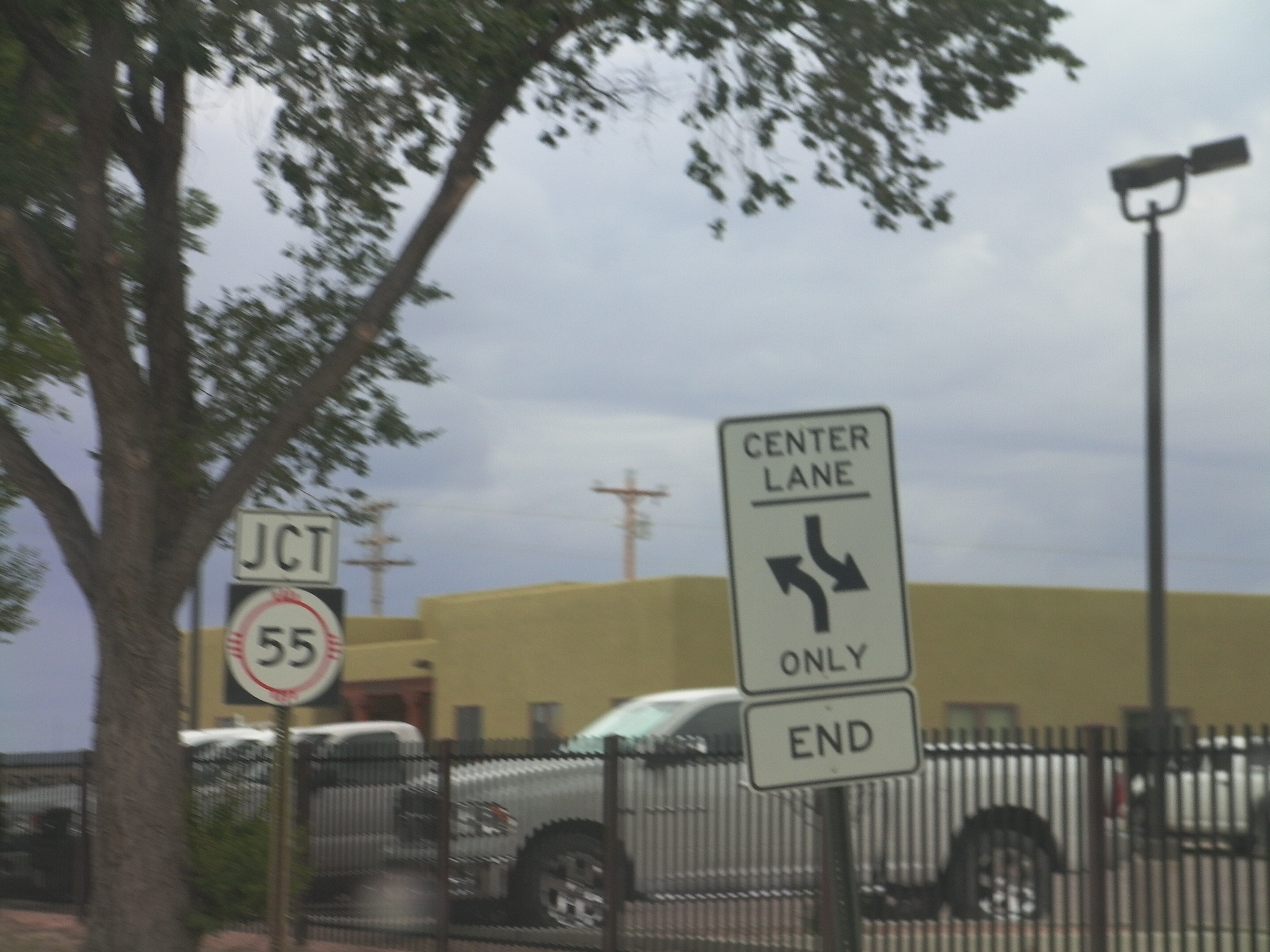
NM-41 South Approaching NM-55
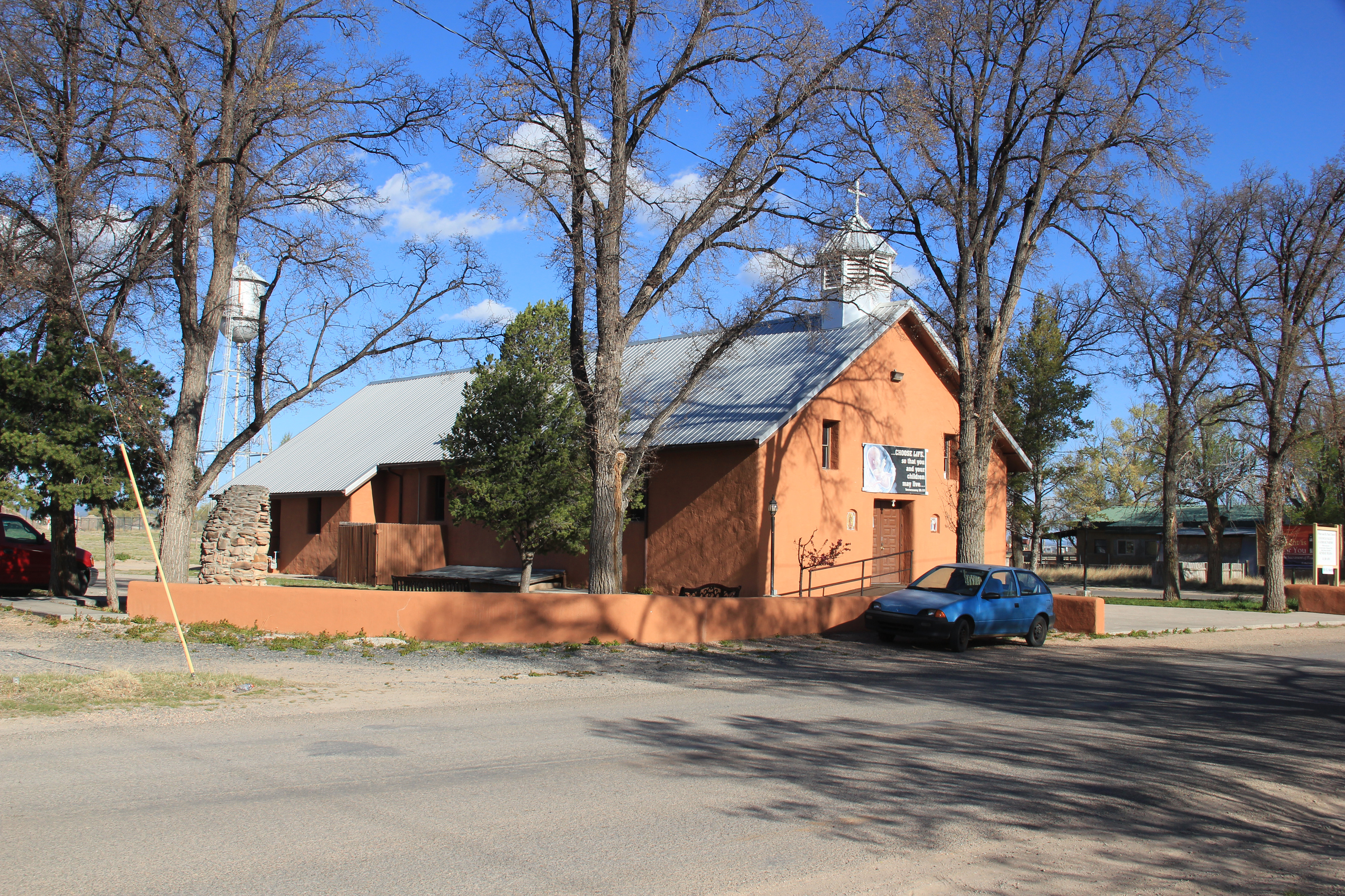
Sts Peter & Paul Catholic Mission Church, Estancia, NM
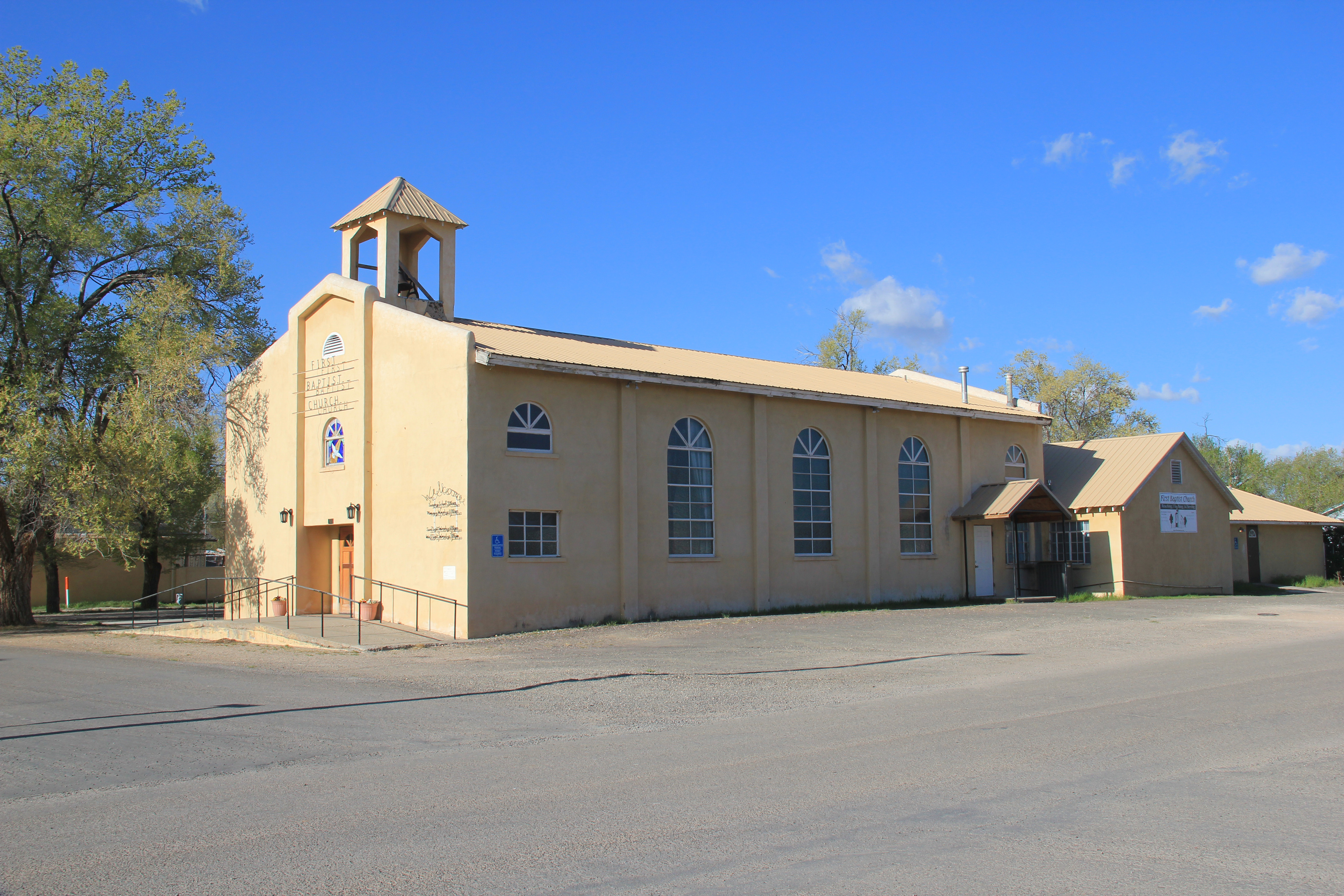
First Baptist Church, Estancia, NM

One more from Laguna

MINI Motorcade
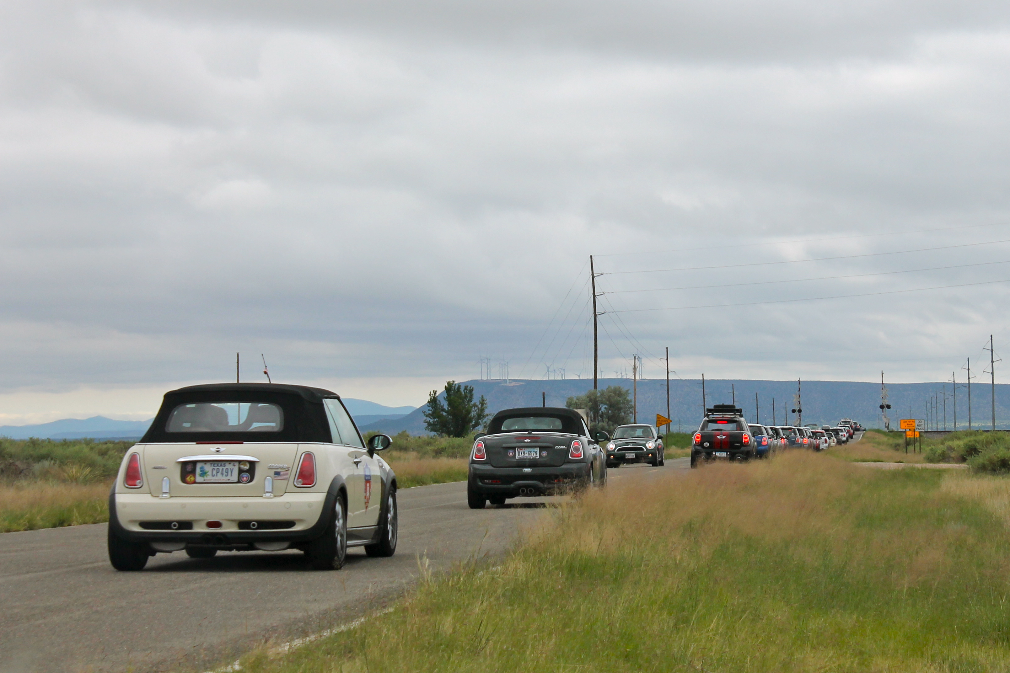
MINI Motorcade

MINI Motorcade

Rowdy boys

Diana turner

New Mexico, Torrance County Sheriff's Office 1a

New Mexico, Torrance County Sheriff's Office 2

2012 road trip
untitled shoot-0451-Edit.jpg
untitled shoot-0434-Edit.jpg

Caterpillar colors

Peas in a pod, fresh from the garden

Sleeping hummingbird
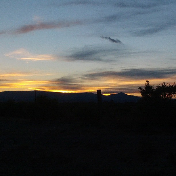
New Mexico desert sunset
Topographic Map of Torrance County, NM, USA
Find elevation by address:

Places in Torrance County, NM, USA:
Moriarty
Mountainair
Torreon
7-1
Progresso
1 Yacht Club Dr, Stanley, NM, USA
Encino
Clines Corners
Estancia
Lucy
Duran
Places near Torrance County, NM, USA:
Estancia
Lucy
New Mexico
Kenshaw Road
Progresso
321 Madrid Ave
Moriarty, NM, USA
Mountainair
95 Co Rd A, Mountainair, NM, USA
Moriarty
7-1
121 Forest Rd 321
Torreon
Montano Ranch Rd, Tijeras, NM, USA
Moho Trail
Baldy
3441 Jumano Trail
NM-, Moriarty, NM, USA
Co Rd A, Torreon, NM, USA
Ballenger Ranch Rd, Edgewood, NM, USA
Recent Searches:
- Elevation of Corso Fratelli Cairoli, 35, Macerata MC, Italy
- Elevation of Tallevast Rd, Sarasota, FL, USA
- Elevation of 4th St E, Sonoma, CA, USA
- Elevation of Black Hollow Rd, Pennsdale, PA, USA
- Elevation of Oakland Ave, Williamsport, PA, USA
- Elevation of Pedrógão Grande, Portugal
- Elevation of Klee Dr, Martinsburg, WV, USA
- Elevation of Via Roma, Pieranica CR, Italy
- Elevation of Tavkvetili Mountain, Georgia
- Elevation of Hartfords Bluff Cir, Mt Pleasant, SC, USA