Elevation of Toro Ct, El Dorado Hills, CA, USA
Location: United States > California > El Dorado County > El Dorado Hills >
Longitude: -121.08324
Latitude: 38.7331171
Elevation: 174m / 571feet
Barometric Pressure: 99KPa
Elevation Map:
Satellite Map:
Related Photos:

Rainbow Bridge Panorama
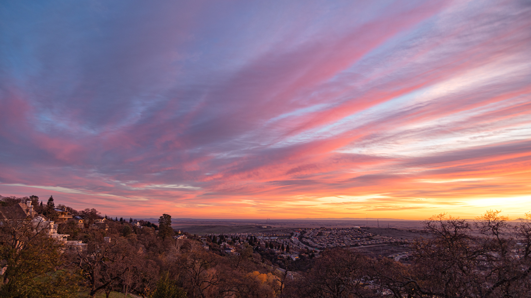
Deck view
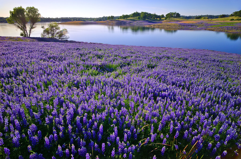
Folsom Lake Lupines
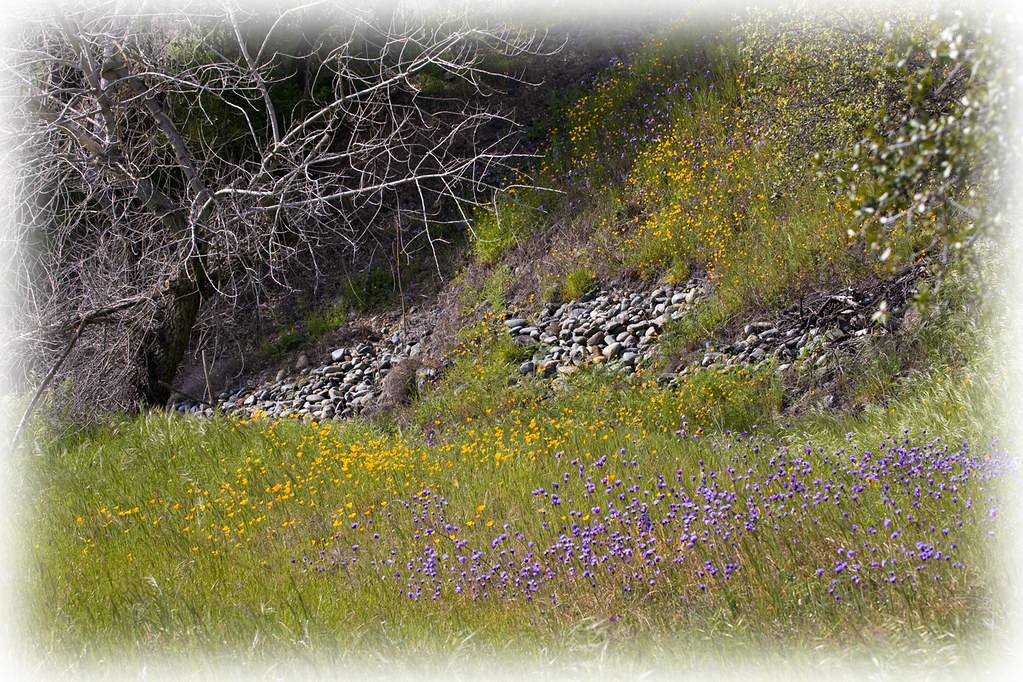
Spring Wildflowers 0026

Winter At The Old Church 5621

Heaven’s View ????

Blue Heron In Vetch 0893

Day 952: Shopping_0244d

MinionsXmas_3205-1

Folsom Dam - Brown's Ravine

Folsom Dam

Folsom Dam, Granite Bay side

Folsom Lake

Folsom Lake
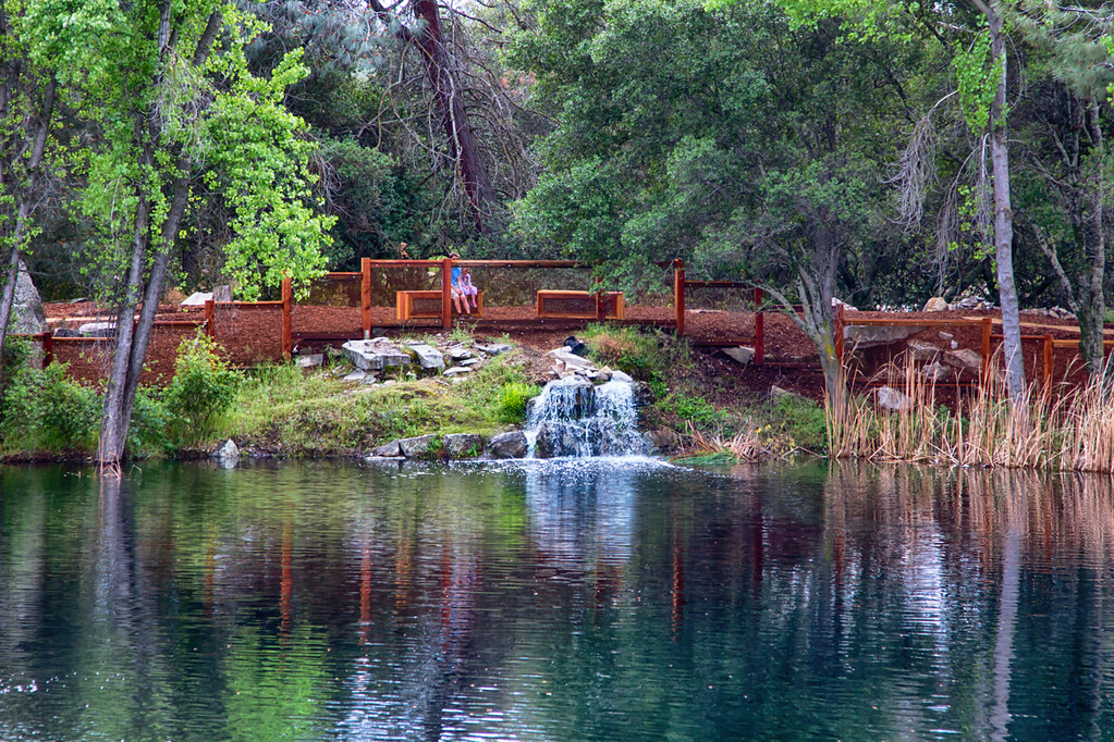
Quarry Park Pond 0872

Old Quarry Truck 0856

Rock Wren
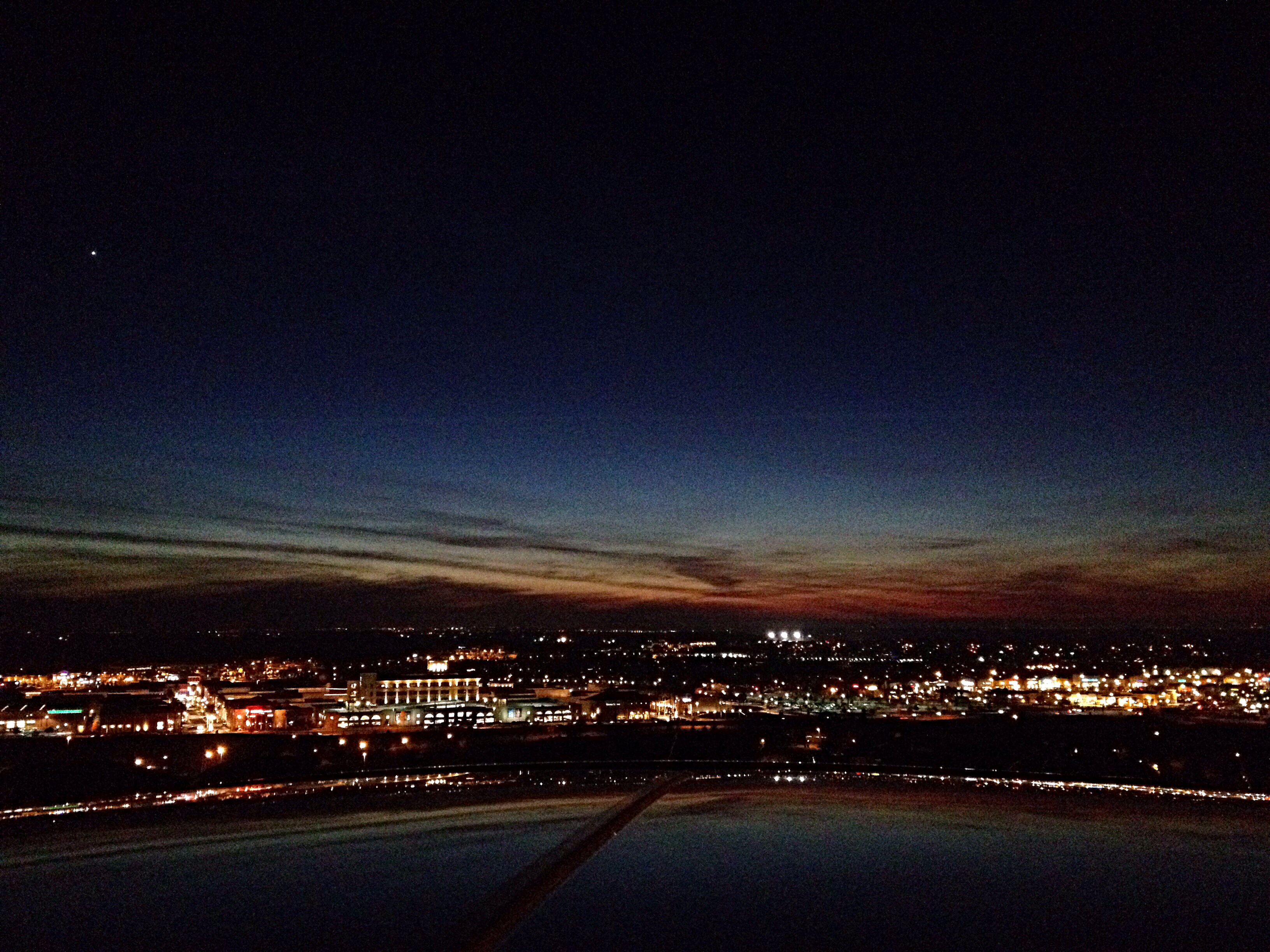
Venus watches over a Folsom sunset

moss and mist

Up River

Granite Park in Autumn

Lake Natoma Crossing - Aerial

Green and Blue with Infrastructure
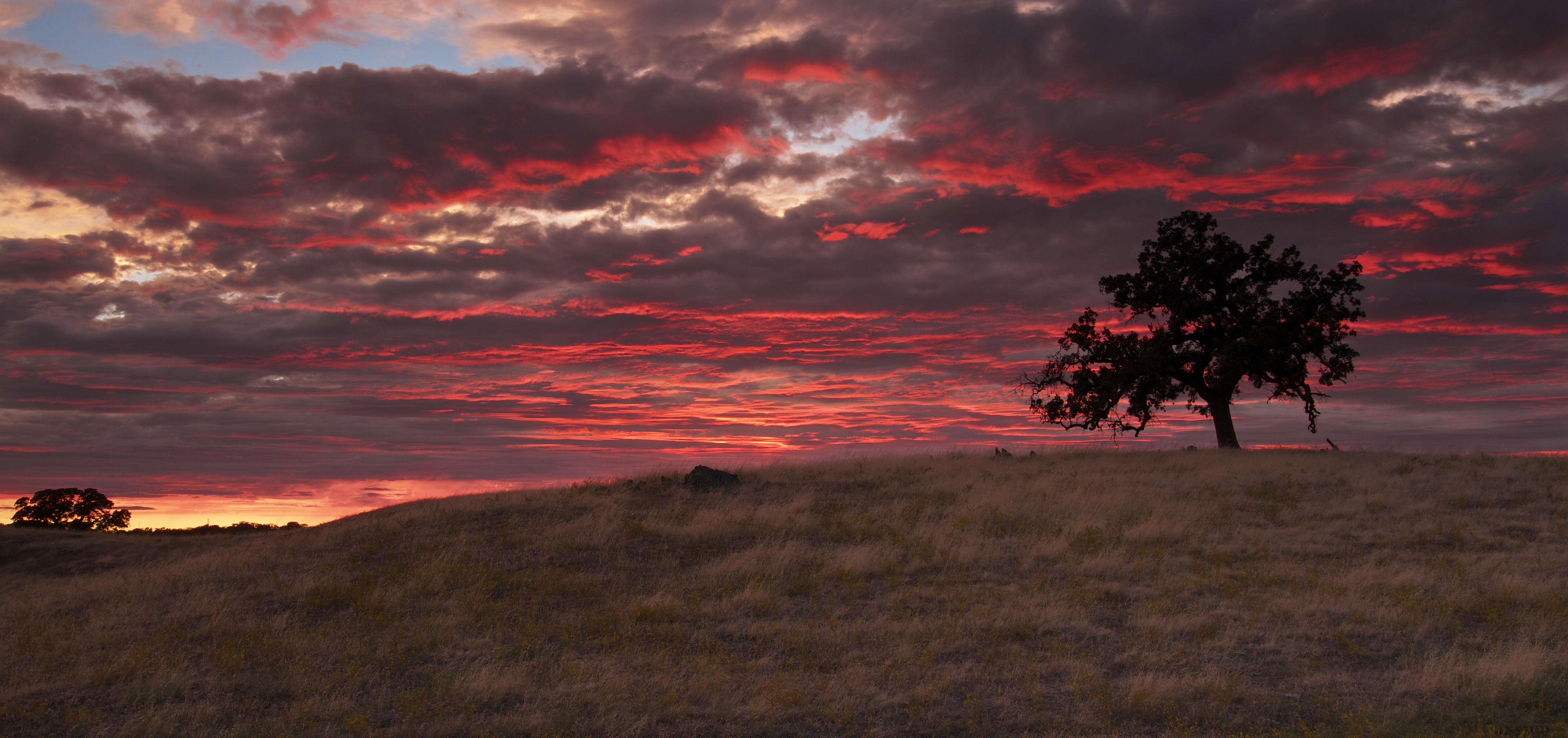
Oak Burn

Sunset Lightning

El Dorado Hills
Topographic Map of Toro Ct, El Dorado Hills, CA, USA
Find elevation by address:

Places near Toro Ct, El Dorado Hills, CA, USA:
Torero Way, El Dorado Hills, CA, USA
2248 Ashford Pl
493 Guadalupe Dr
Kaila Way, El Dorado Hills, CA, USA
Promontory Point Dr, El Dorado Hills, CA, USA
Summit Village
2001 Wildridge Dr
Uplands Dr, El Dorado Hills, CA, USA
9606 Pamela Street
9606 Pamela Street
Hidden Acres Dr, El Dorado Hills, CA, USA
1840 Arroyo Vista Way
Browns Ravine Recreation Area
Arroyo Vista Way, El Dorado Hills, CA, USA
Salmon Valley Ln, El Dorado Hills, CA, USA
Lakeridge Ct, El Dorado Hills, CA, USA
Folsom Lake
5110 Piazza Pl
2563 Shadowfax Ln
W Green Springs Rd, El Dorado Hills, CA, USA
Recent Searches:
- Elevation of Elwyn Dr, Roanoke Rapids, NC, USA
- Elevation of Congressional Dr, Stevensville, MD, USA
- Elevation of Bellview Rd, McLean, VA, USA
- Elevation of Stage Island Rd, Chatham, MA, USA
- Elevation of Shibuya Scramble Crossing, 21 Udagawacho, Shibuya City, Tokyo -, Japan
- Elevation of Jadagoniai, Kaunas District Municipality, Lithuania
- Elevation of Pagonija rock, Kranto 7-oji g. 8"N, Kaunas, Lithuania
- Elevation of Co Rd 87, Jamestown, CO, USA
- Elevation of Tenjo, Cundinamarca, Colombia
- Elevation of Côte-des-Neiges, Montreal, QC H4A 3J6, Canada