Elevation of Topsham, Topsham, ME, USA
Location: United States > Maine > Sagadahoc County > Topsham > Topsham >
Longitude: -69.975883
Latitude: 43.9275797
Elevation: 41m / 135feet
Barometric Pressure: 101KPa
Elevation Map:
Satellite Map:
Related Photos:

Misty Field 2

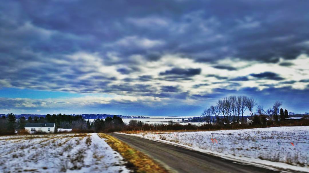
The Road to Oz

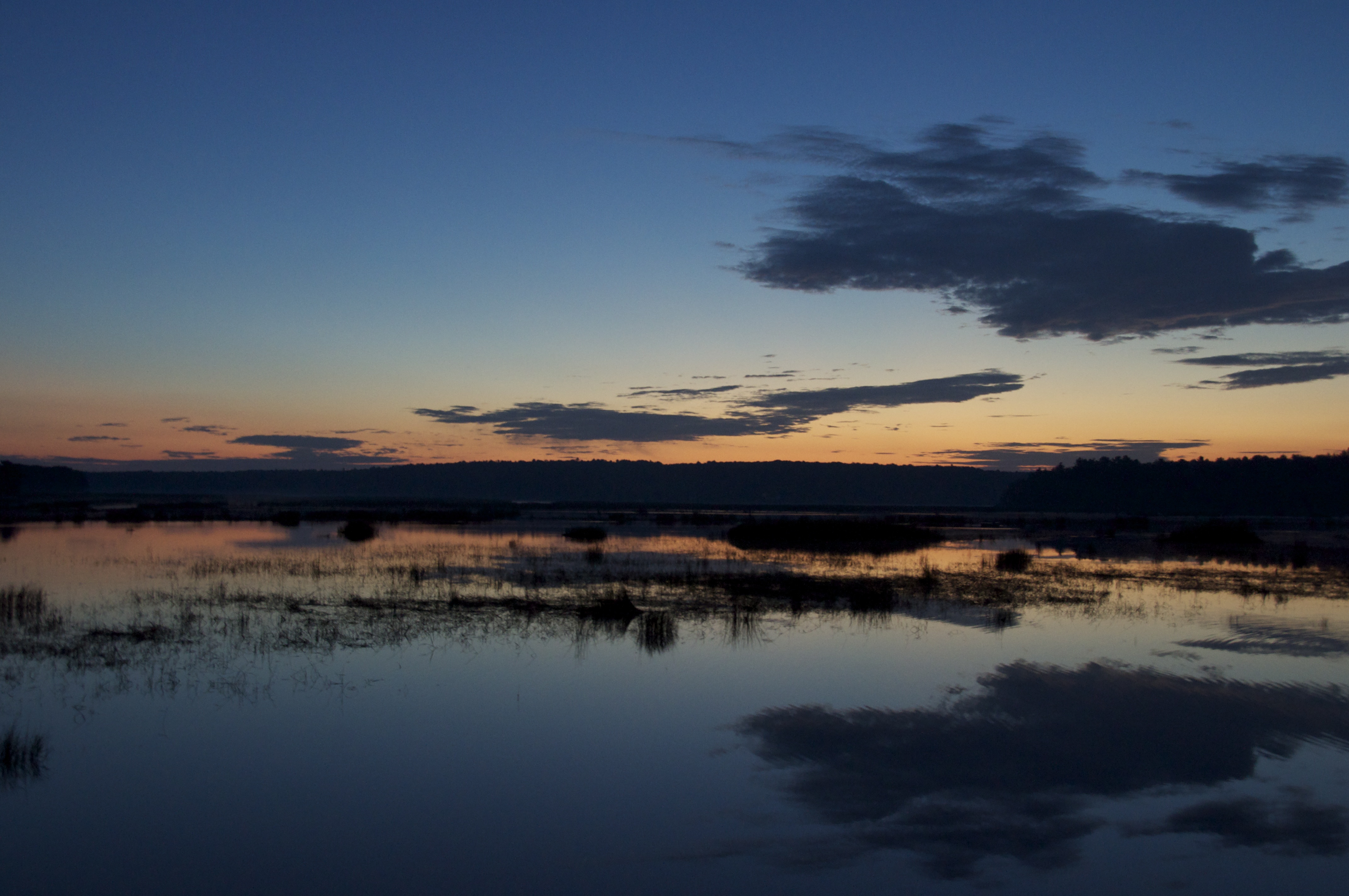
"Last Light" - Topsham, Maine, USA
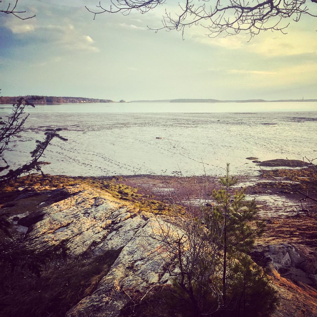
View towards Cristina Bridge from Harpswell.

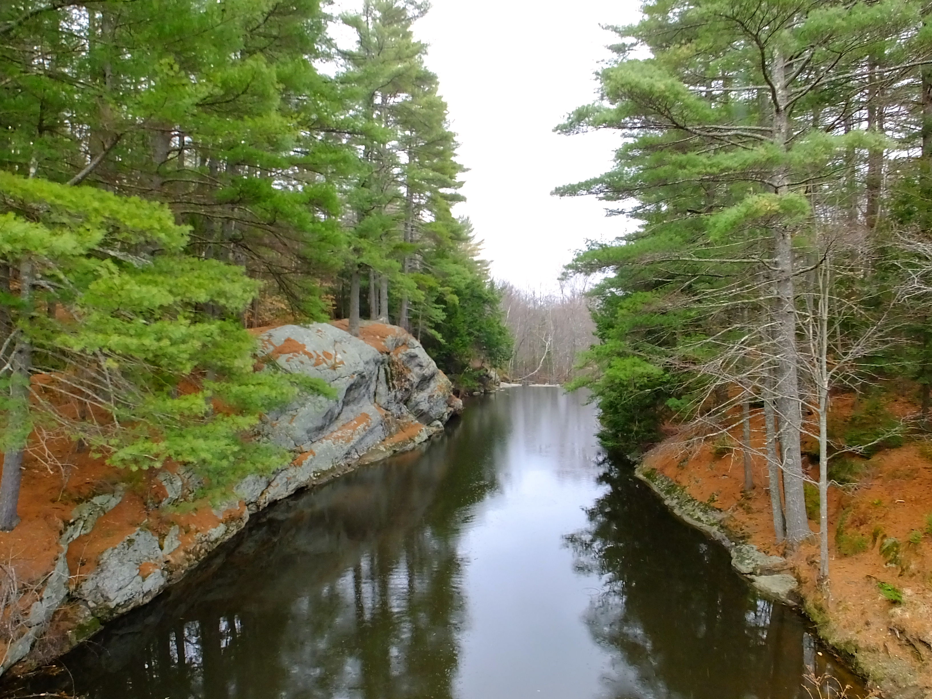
River 8_28_09

Misty Field 1
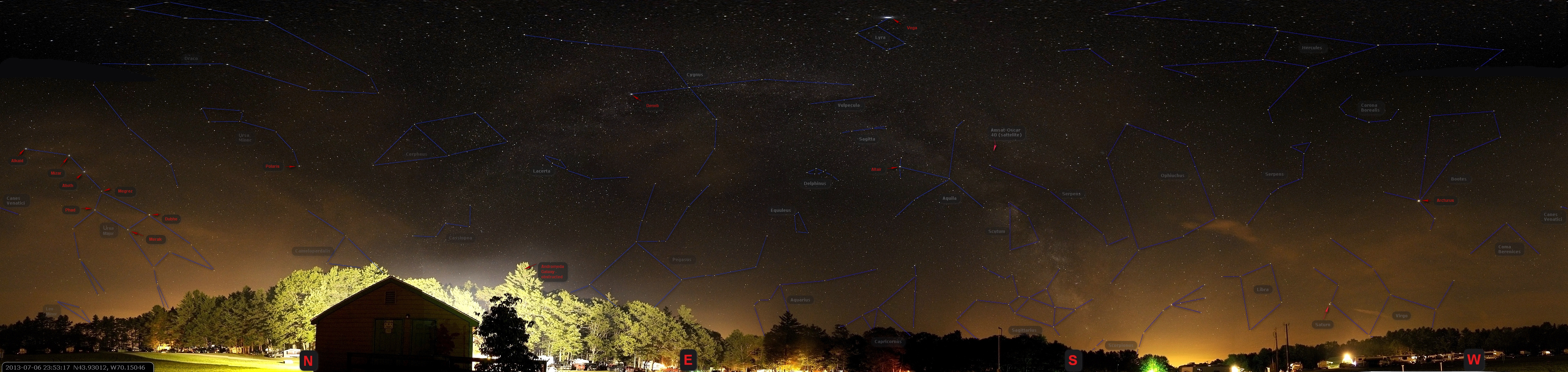
US-ME Nightsky Pano 2013-07-06 Constelations

Iron Flower
Super Moonshine: #13

Side View
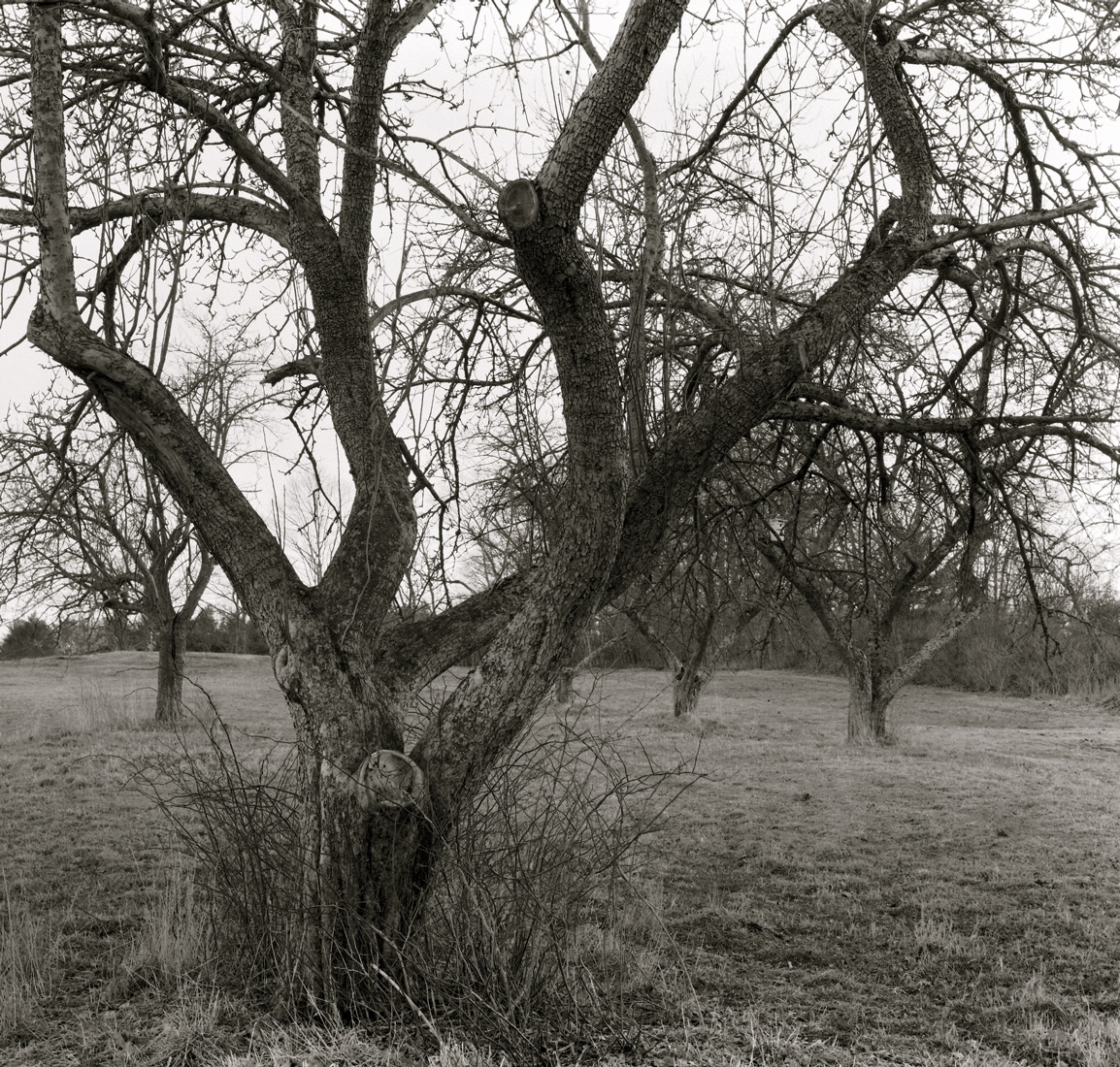
Orchard Hill, West Bath

Early morning view from the kayak

That Cooler tho
Where are you sleeping tonight? Cause this is the view from our tent.
Contrasting Architects

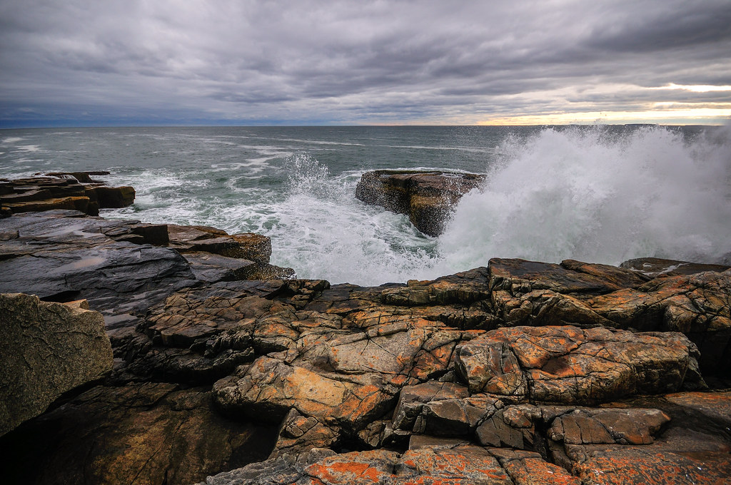
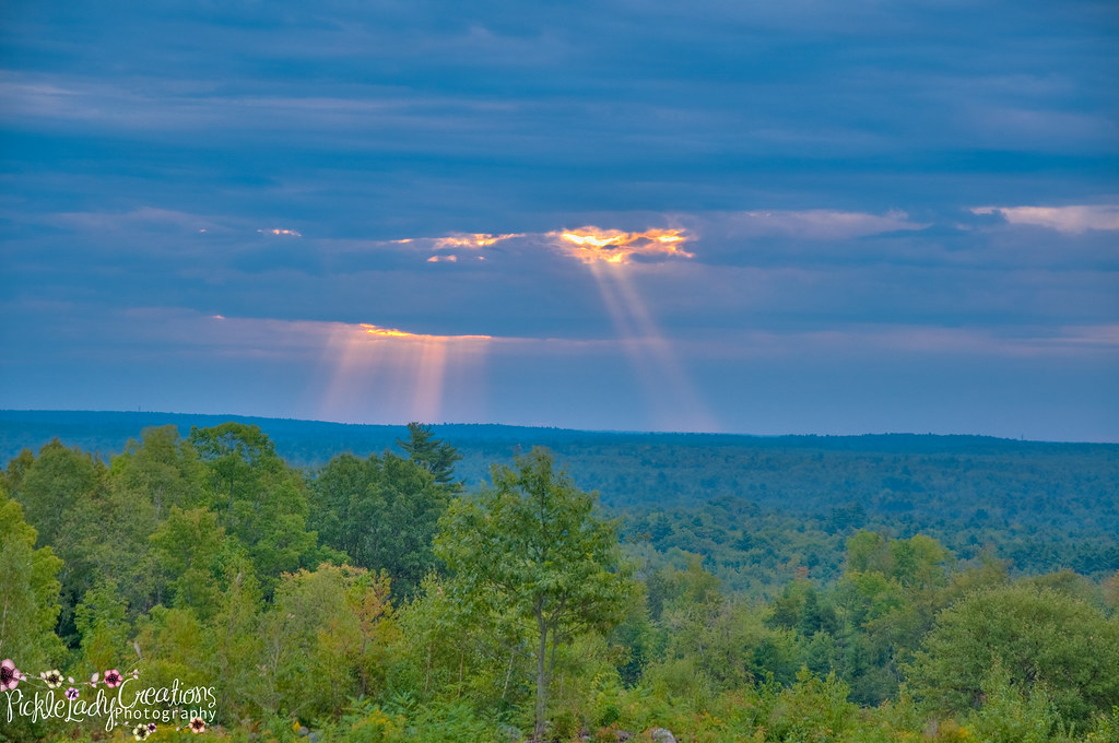
Storm Rolling In
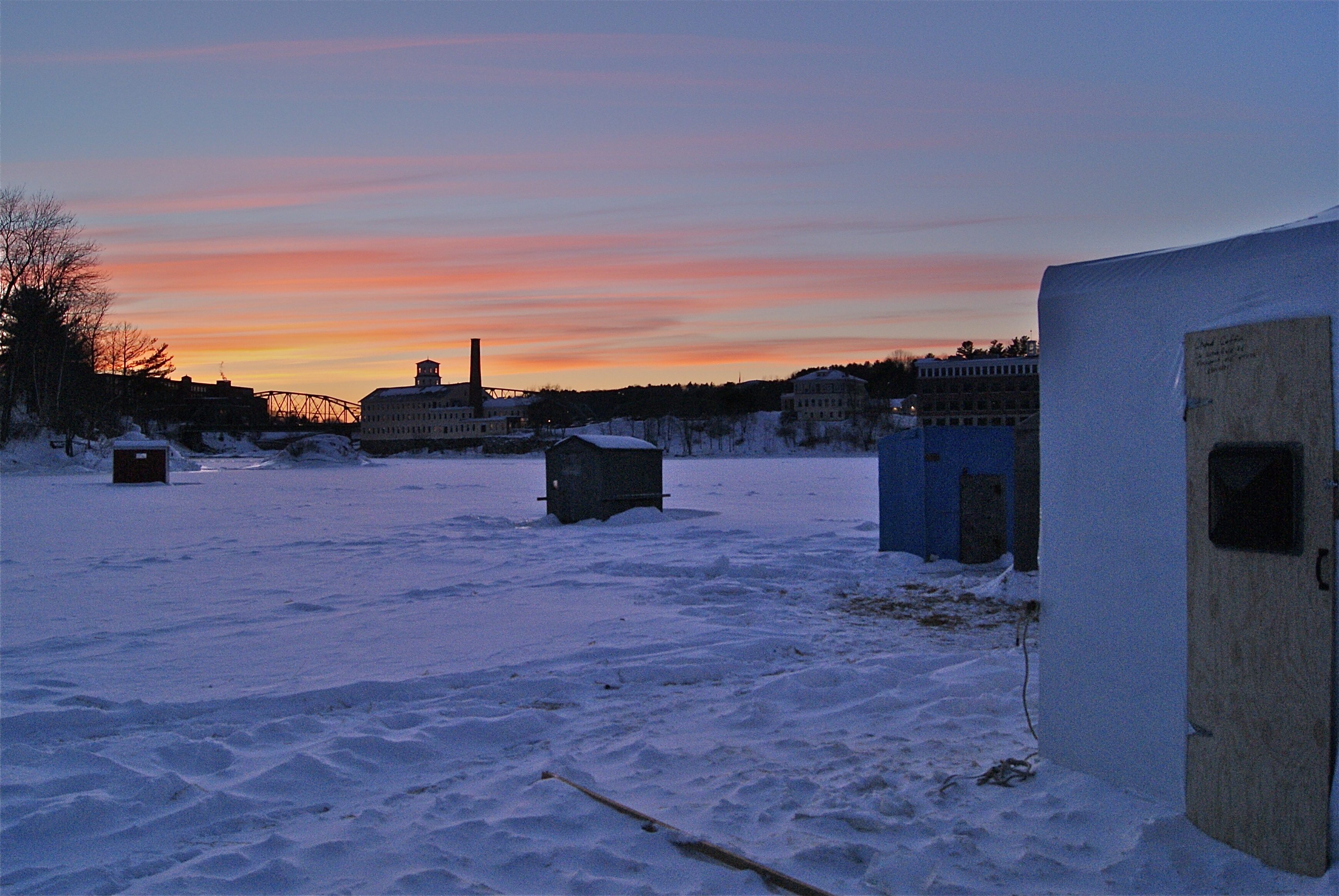
Ice Fishing Village
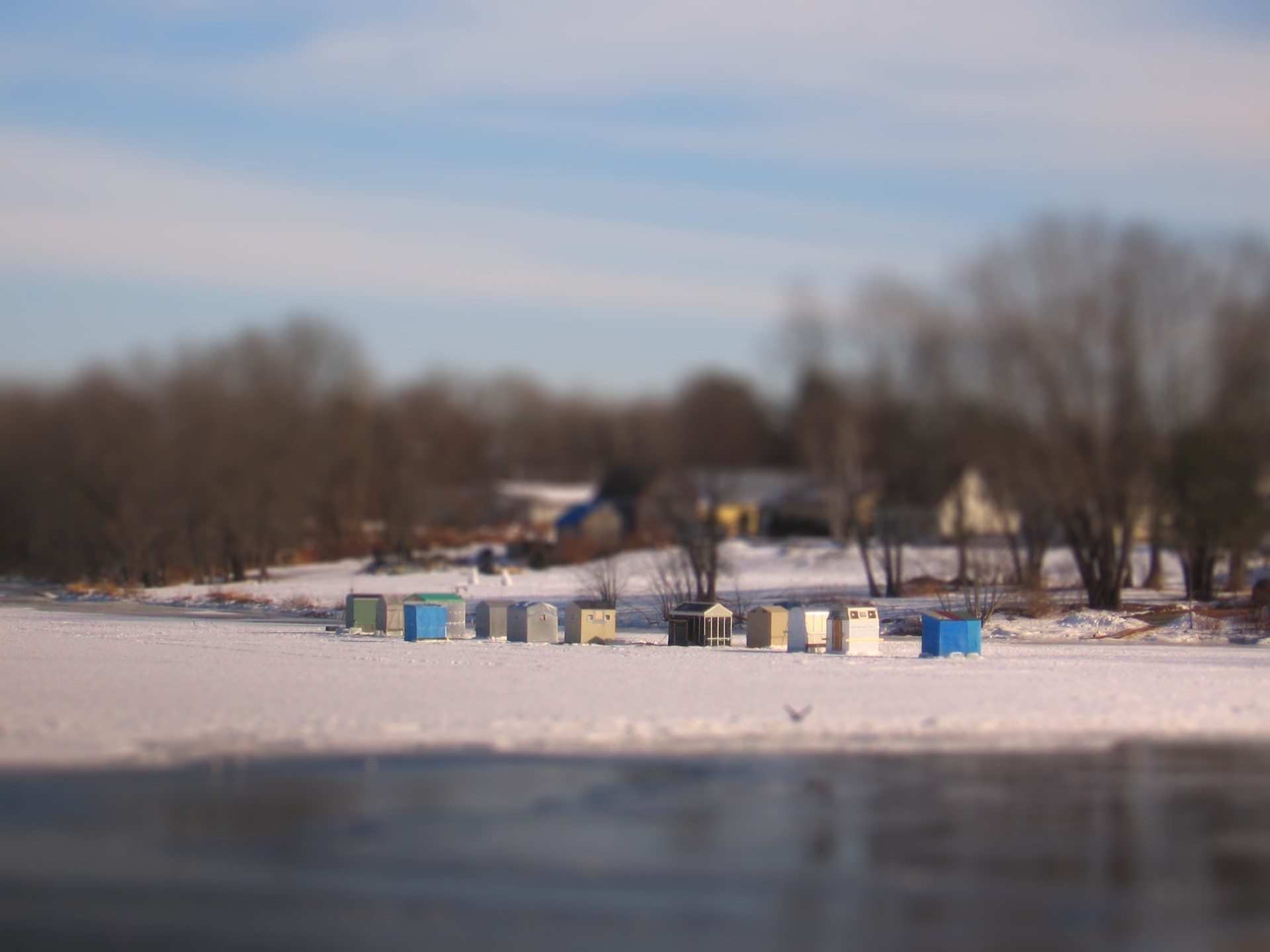
Ice Shack Tilt Shift

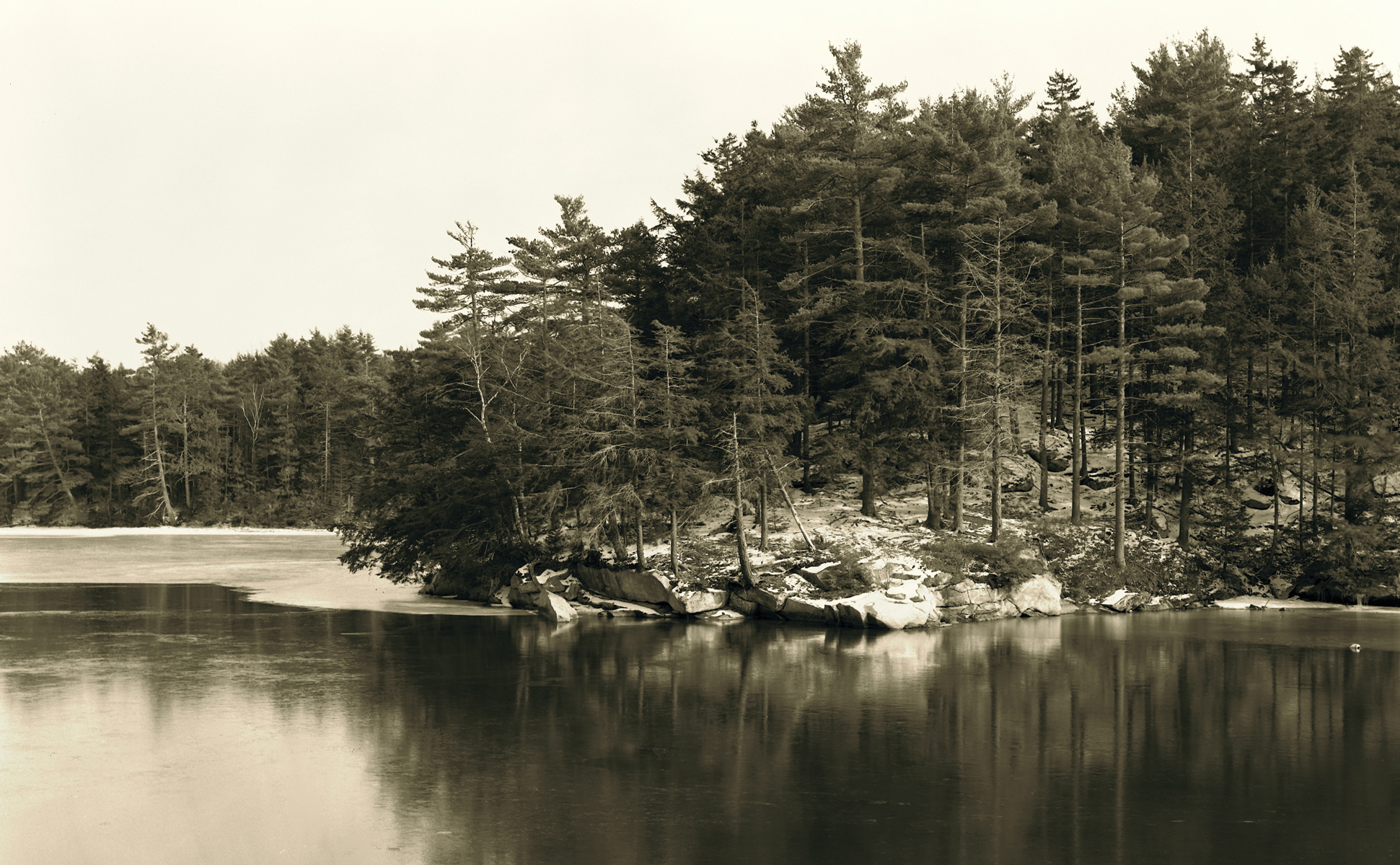
Overall View
April Ice Receding, West Bath

Schooner Wyoming
Cloud Shadows
DSC_7305 Miller Park Trail

Mornin' cows
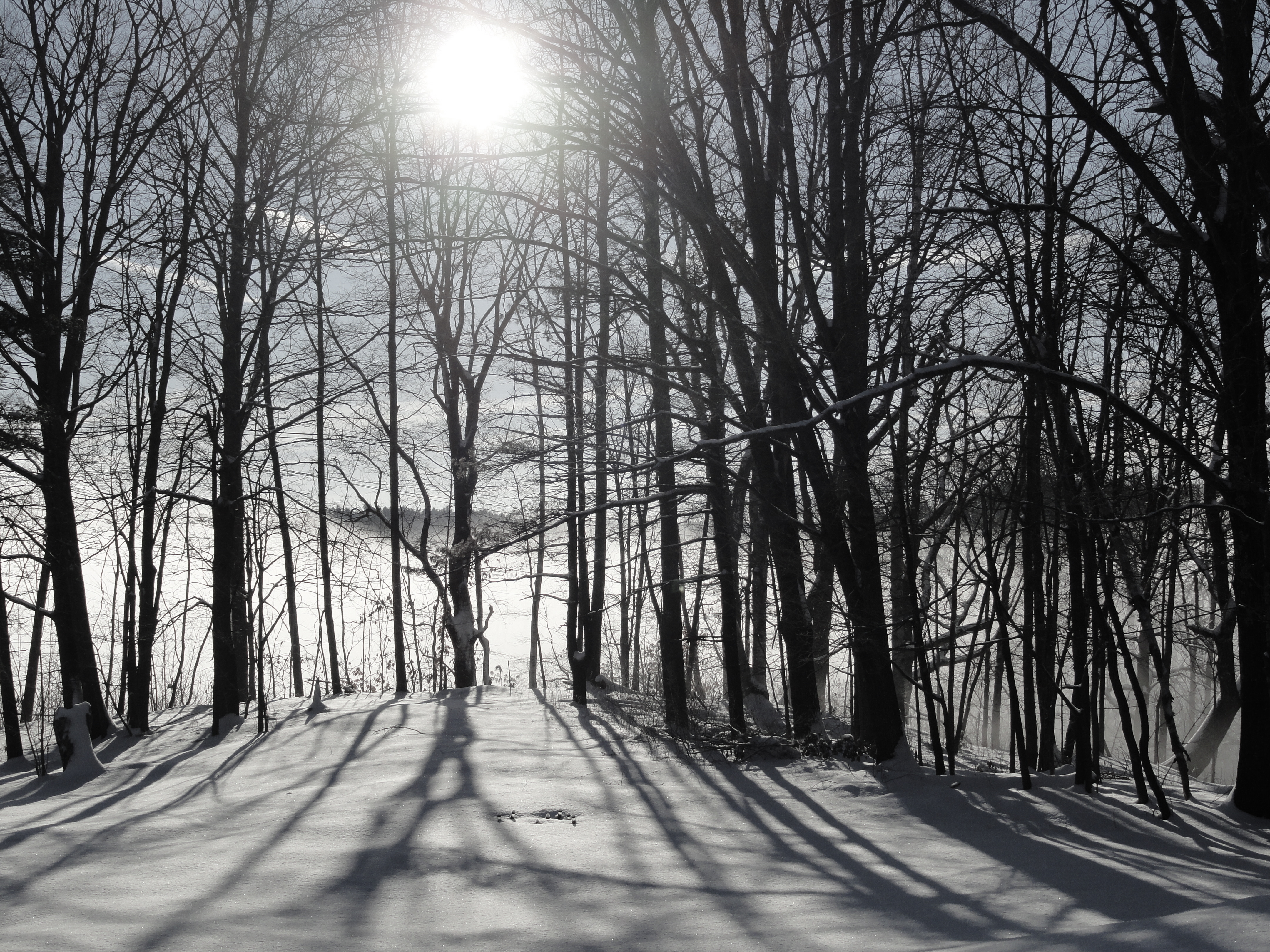
DSC07654 Maine Winter Morning
Schoodic Peninsula
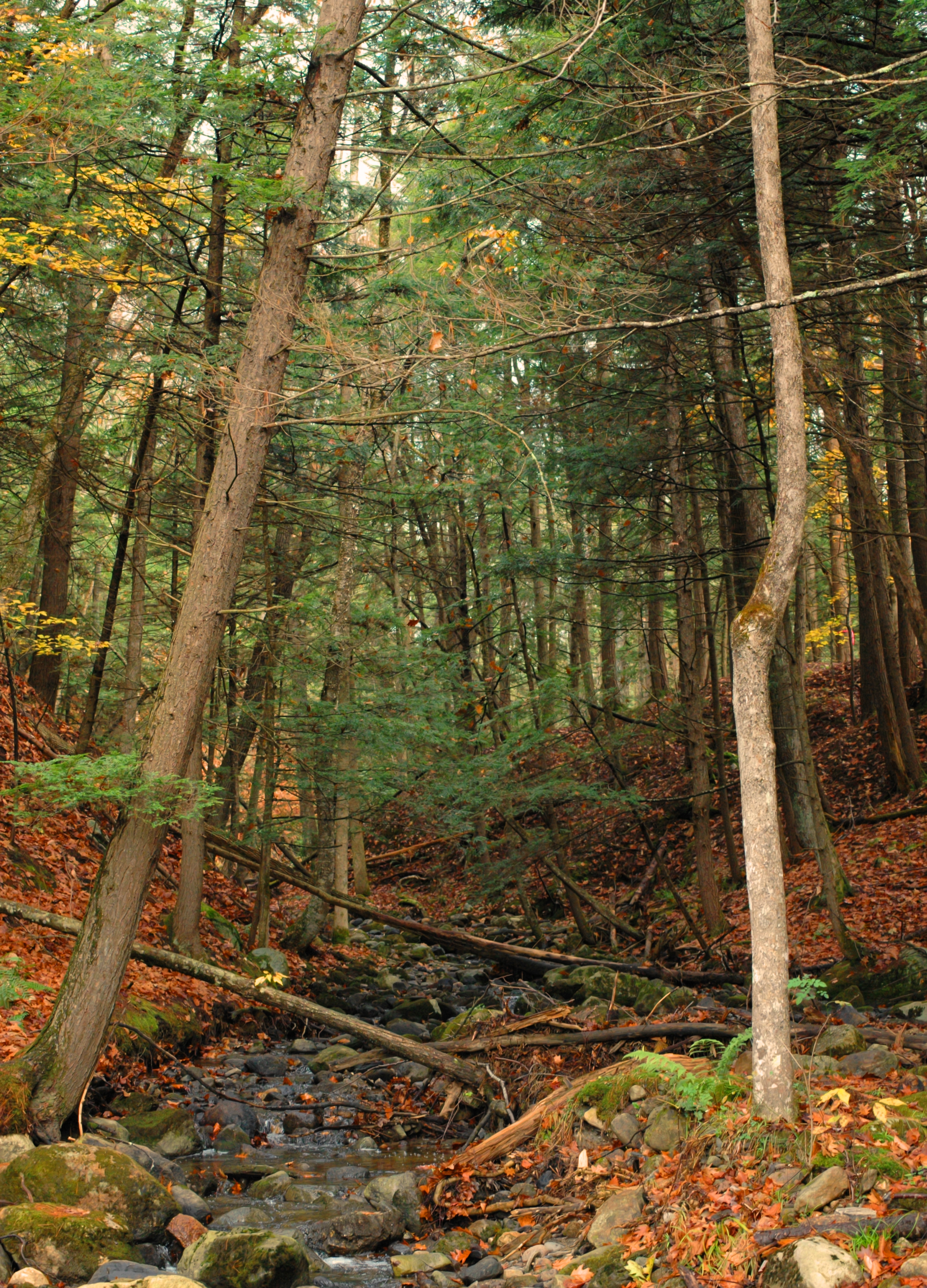
Ham Farm Brook. Lisbon, ME #2
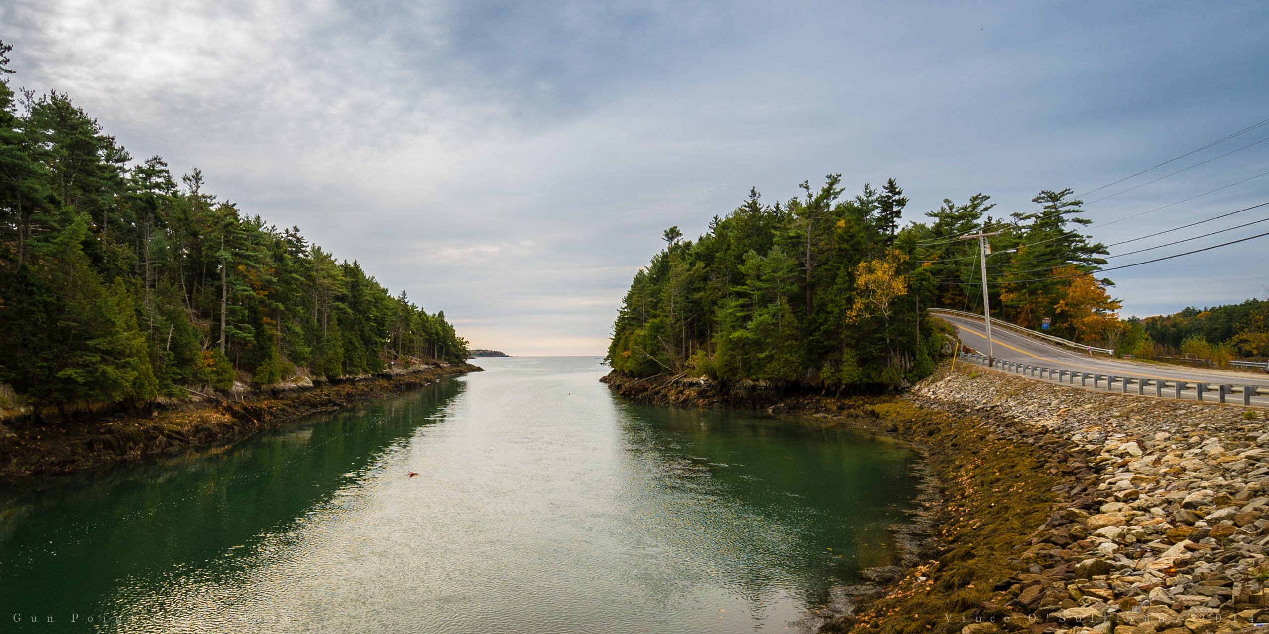
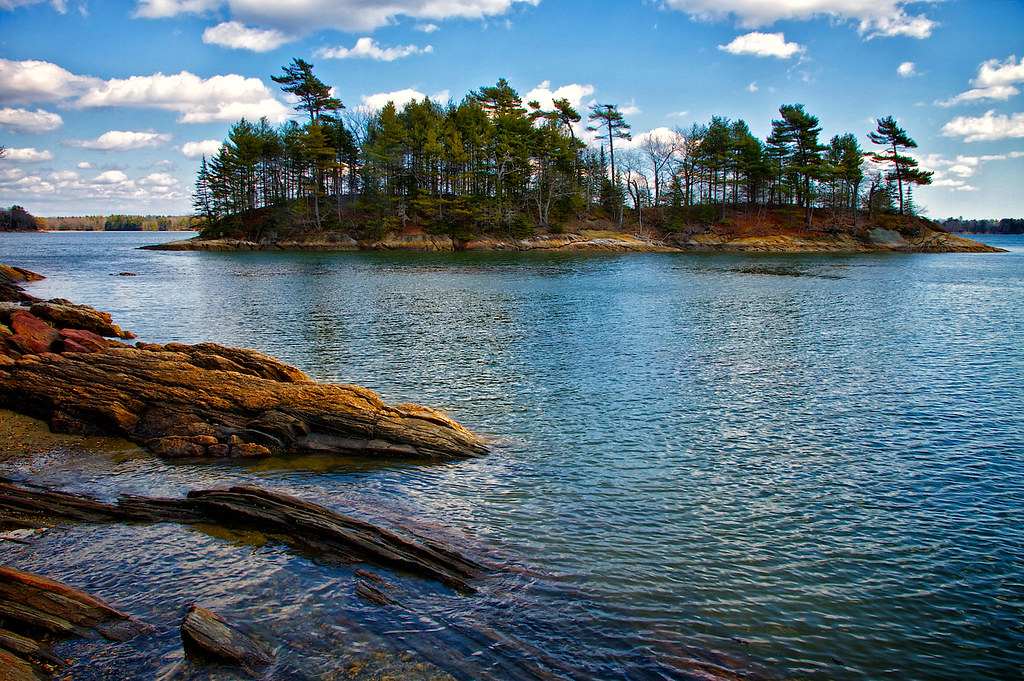
Gun Point Cove - Maine

Mountainous clouds
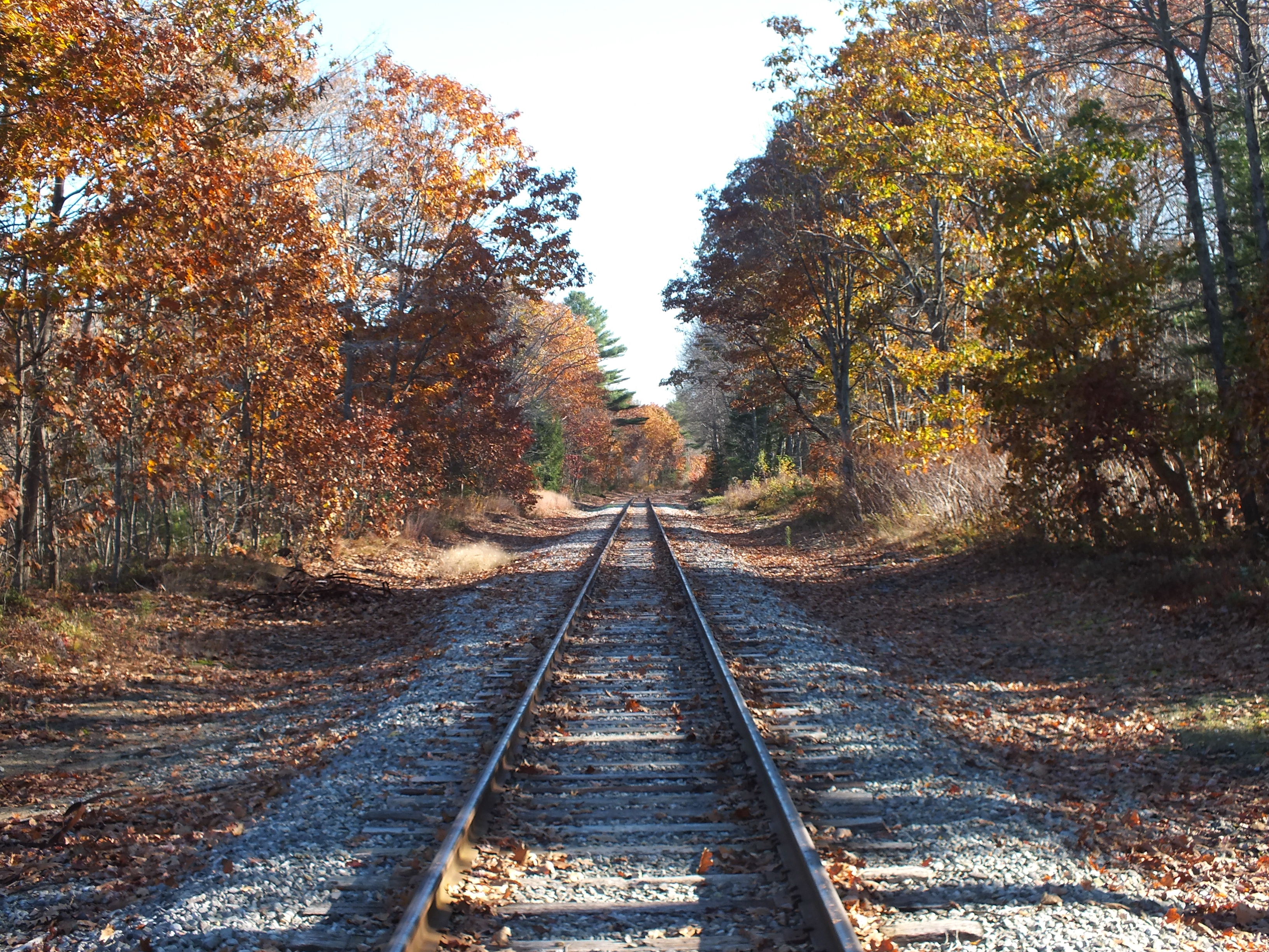
Quiet Railroad Tracks
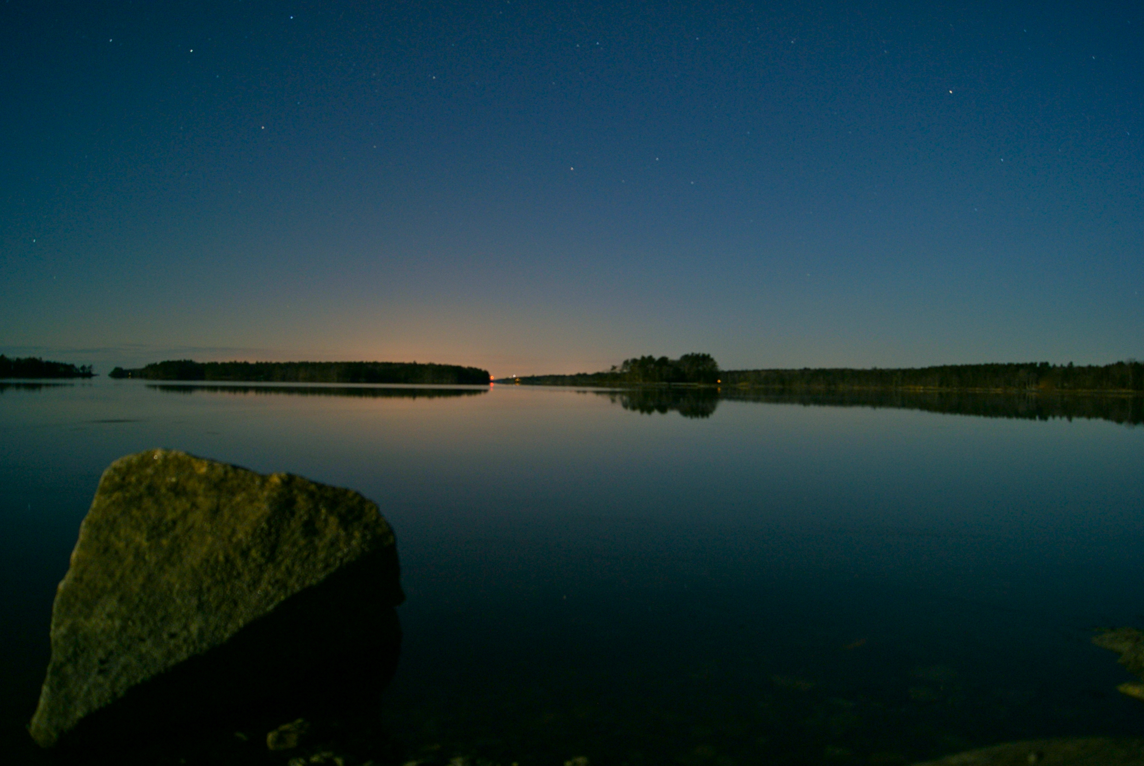
Pre-Dawn Glimmer
Runaround Pond
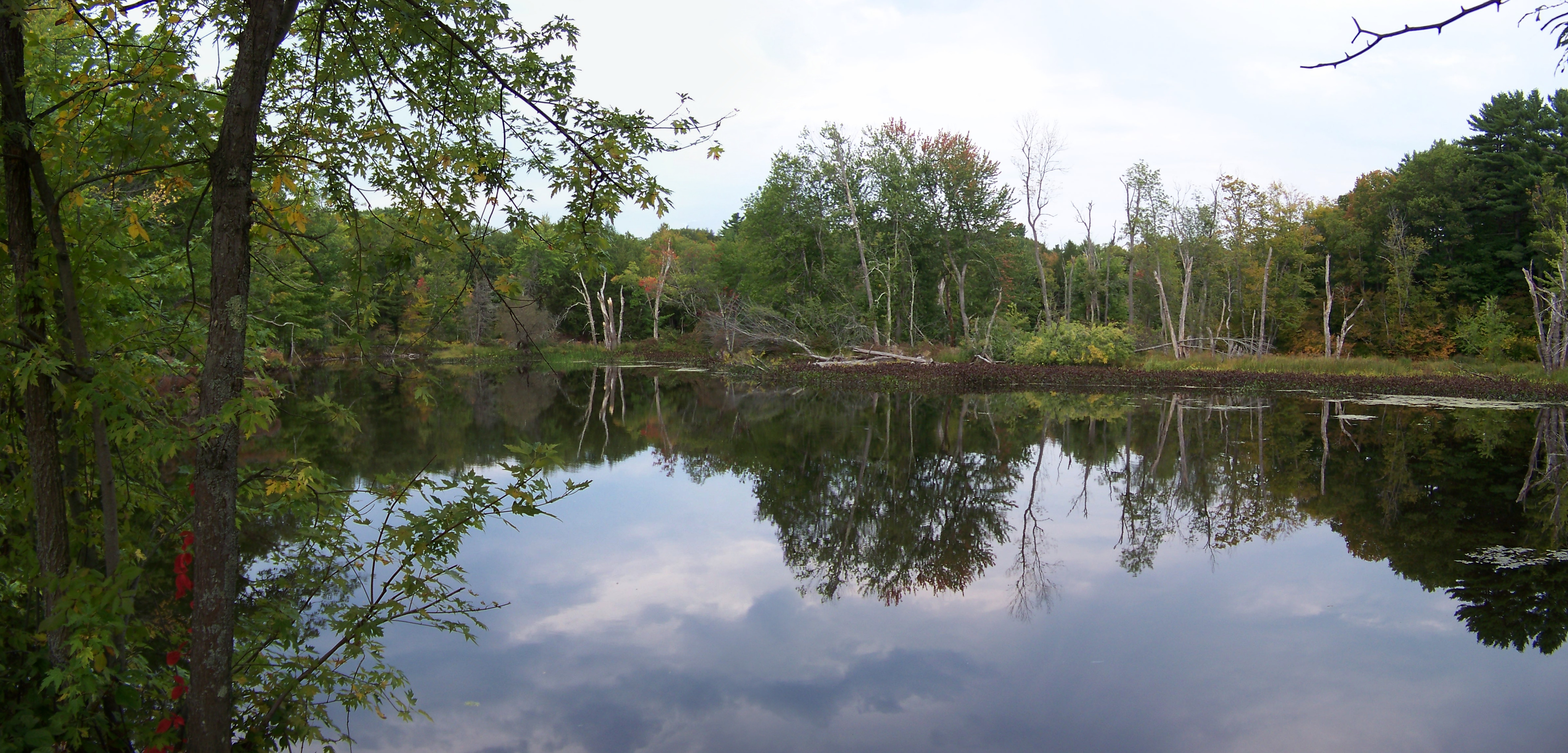
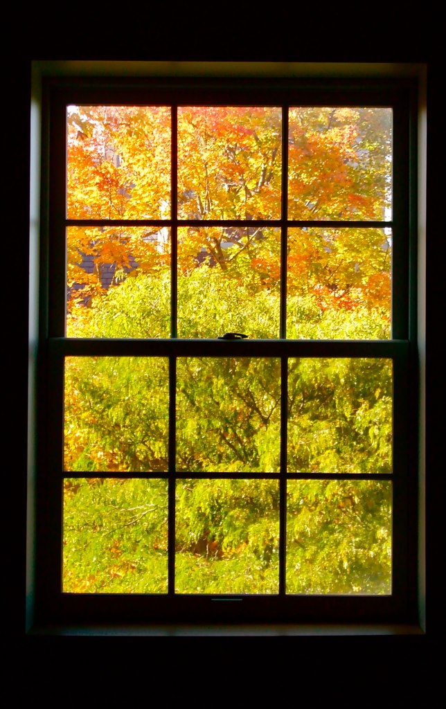
Autumn Reflections

DSCF7584.jpg
Morning Sun-0340
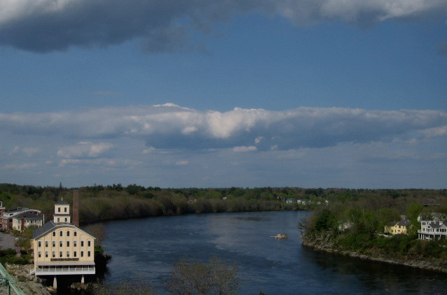
Clouds and River
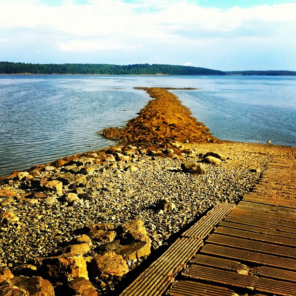
#simpsonspoint #Maine #seaweed
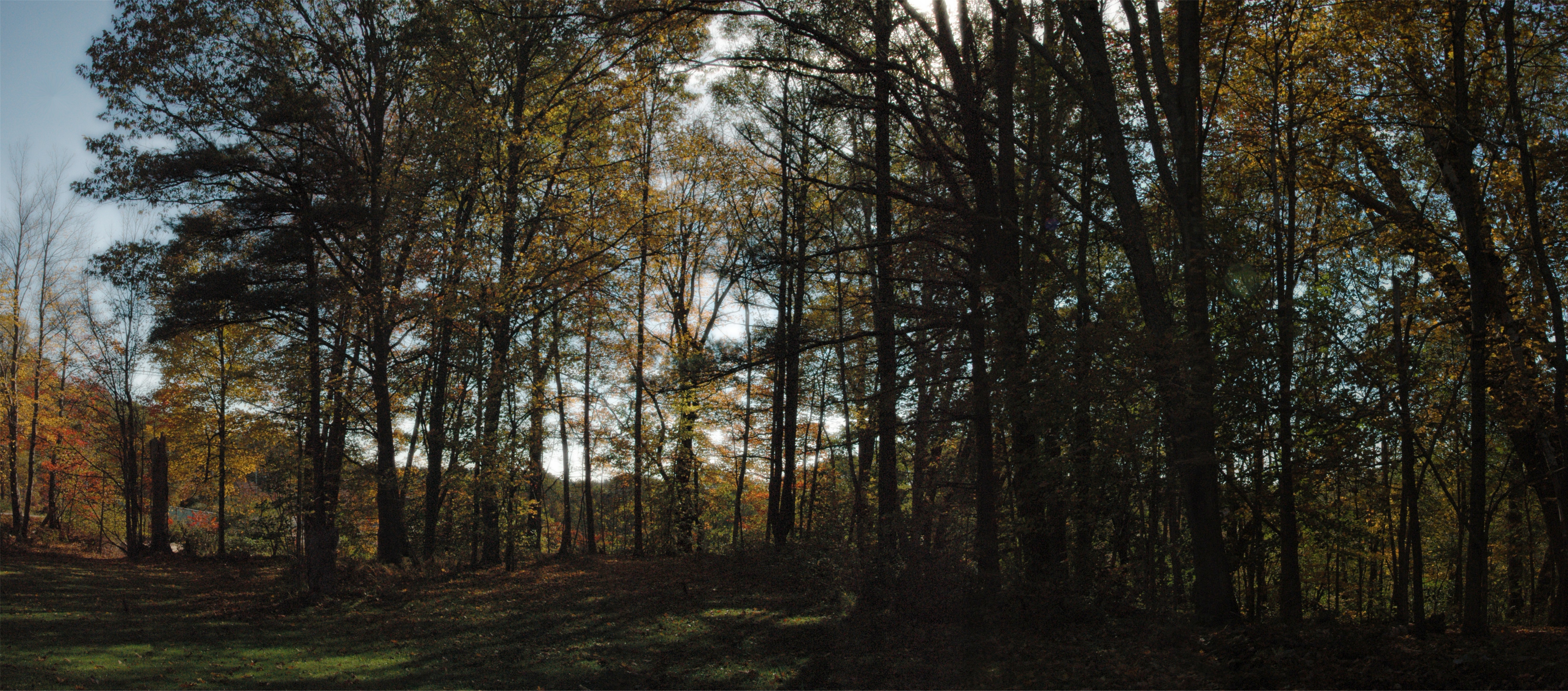
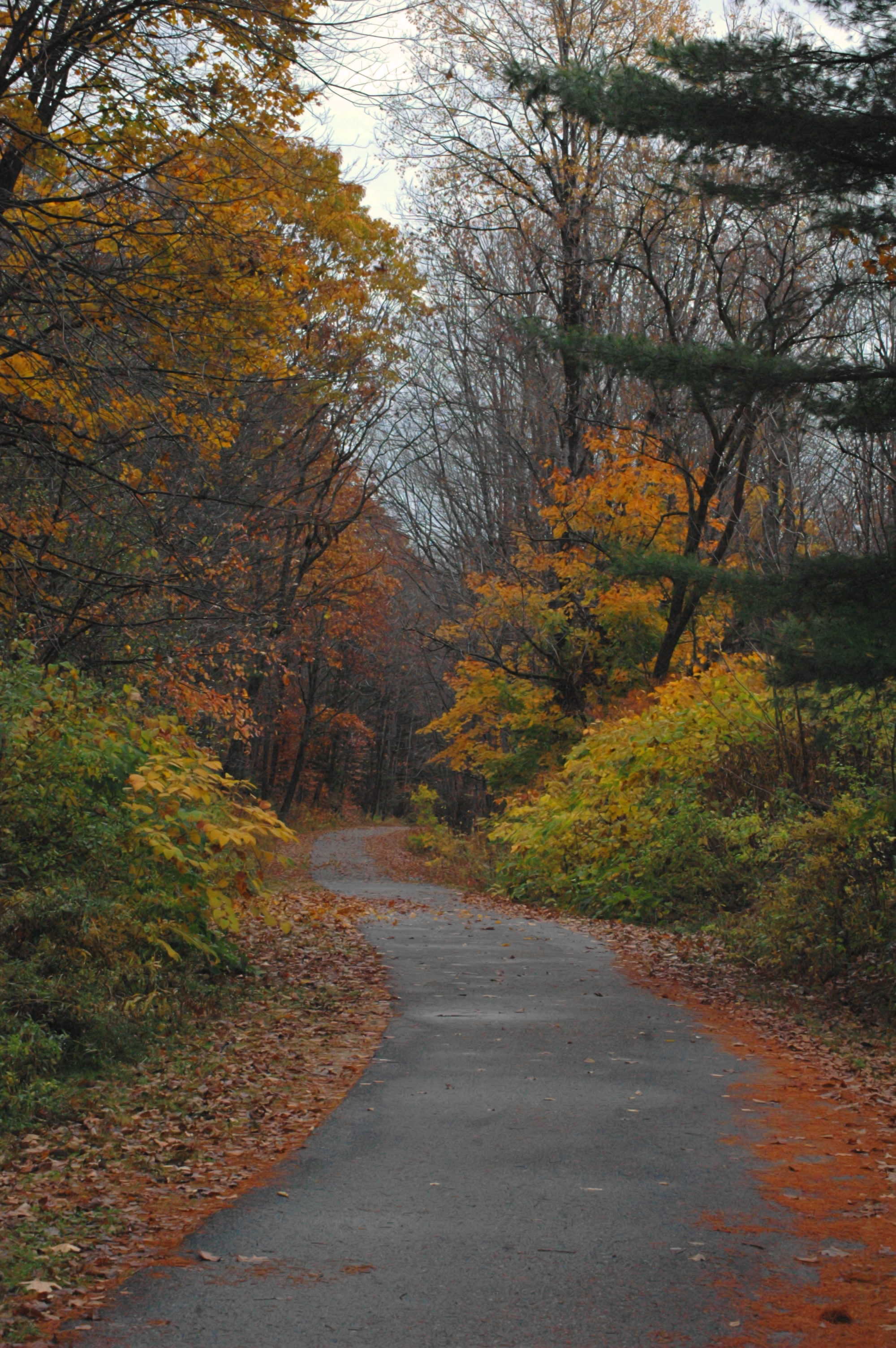
Autumn Day October 2013 Panoramic Edit
Topographic Map of Topsham, Topsham, ME, USA
Find elevation by address:

Places in Topsham, Topsham, ME, USA:
Places near Topsham, Topsham, ME, USA:
Topsham
Granite Hill Drive
Mica Court
20 Winter St
15 Swett St
Fort Andross Mill Business Center
100 Main St
6 Federal St
Brunswick
Brunswick
130 Pleasant St
9 Middle St
80 Union St
27 School St
29 School St
29 School St
Bowdoin College Museum Of Art
Bowdoin College Library
20 Peary Dr
66 Pleasant Hill Rd
Recent Searches:
- Elevation of Jalan Senandin, Lutong, Miri, Sarawak, Malaysia
- Elevation of Bilohirs'k
- Elevation of 30 Oak Lawn Dr, Barkhamsted, CT, USA
- Elevation of Luther Road, Luther Rd, Auburn, CA, USA
- Elevation of Unnamed Road, Respublika Severnaya Osetiya — Alaniya, Russia
- Elevation of Verkhny Fiagdon, North Ossetia–Alania Republic, Russia
- Elevation of F. Viola Hiway, San Rafael, Bulacan, Philippines
- Elevation of Herbage Dr, Gulfport, MS, USA
- Elevation of Lilac Cir, Haldimand, ON N3W 2G9, Canada
- Elevation of Harrod Branch Road, Harrod Branch Rd, Kentucky, USA