Elevation of Topeka Ave, Long Island, KS, USA
Location: United States > Kansas > Phillips County > Long Island > Long Island >
Longitude: -99.53534
Latitude: 39.947673
Elevation: 631m / 2070feet
Barometric Pressure: 94KPa
Elevation Map:
Satellite Map:
Related Photos:
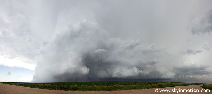
2011-06-20_6606-pano

Post Office 67664 (Prairie View, Kansas)

Old Prairie View School (Prairie View, Kansas)
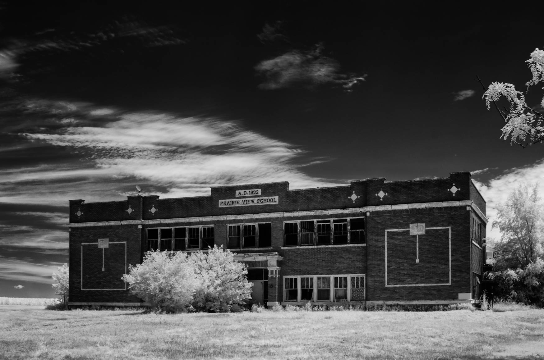
Prairie View School
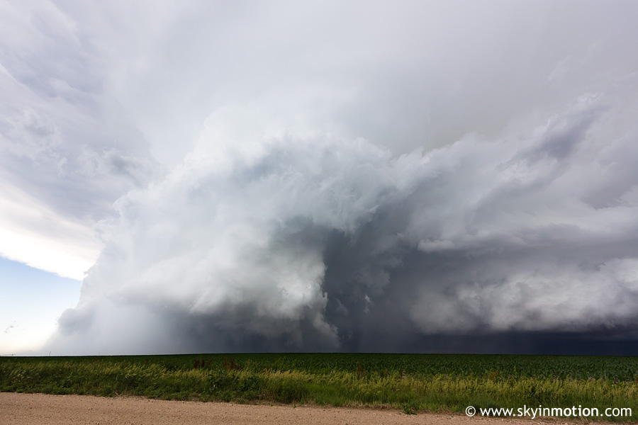
2011-06-20_6605
No Title

Spaced Truckin' (explore)

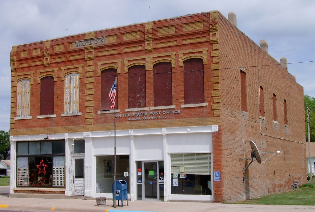
Post Office 67622 (Almena, Kansas)

074September_09,_2015IMG_5370

Encouraged to keep on sharing our message of health by our friends at BGCA

Almena, Kansas
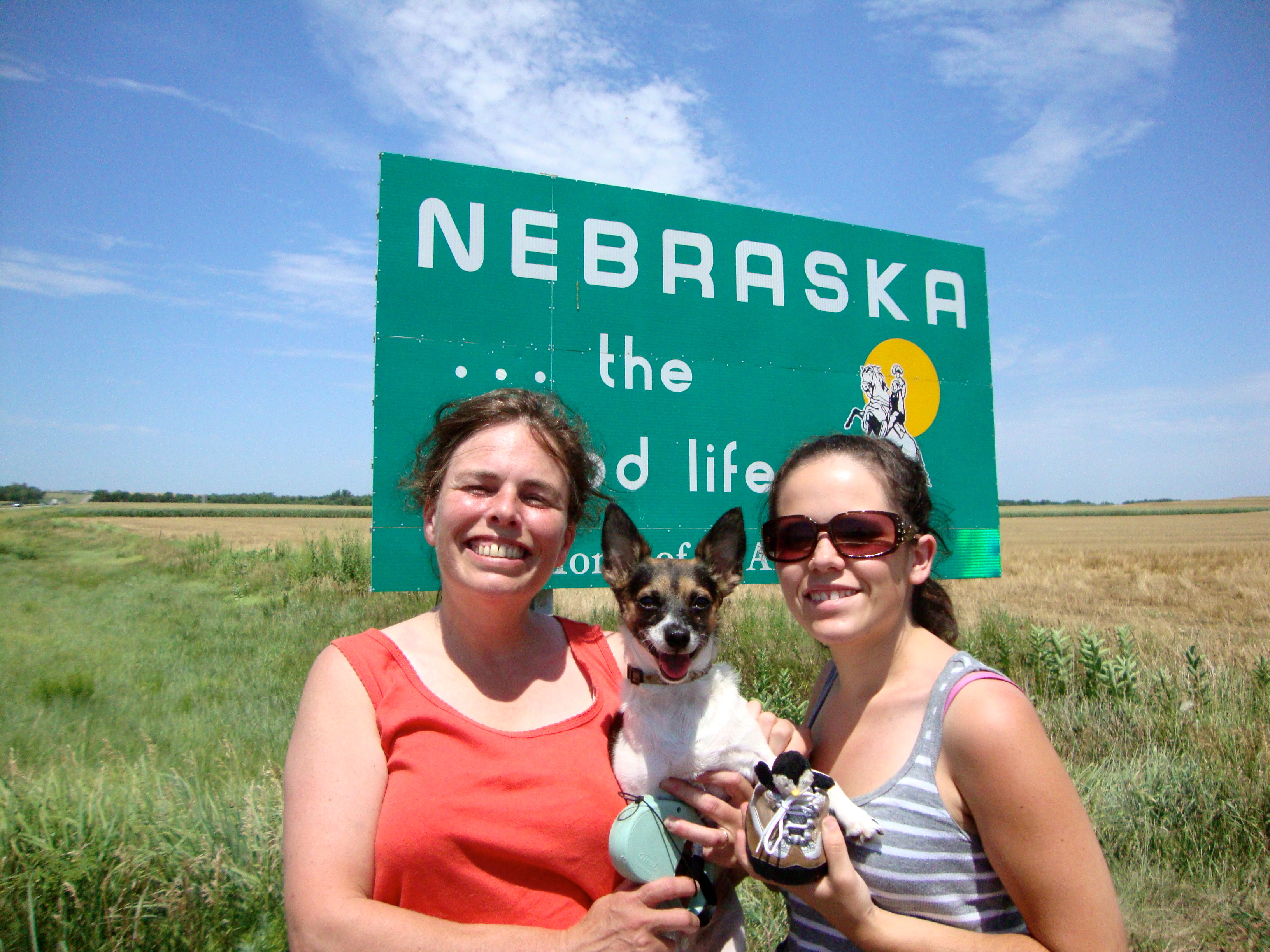
Nebraska / Kansas Border
2011-06-20_6613

2011-06-20_6611
2011-06-20_6603
2011-06-20_6599
Bank Block (Almena, Kansas)

Post Office 67647 (Long Island, Kansas)
Topographic Map of Topeka Ave, Long Island, KS, USA
Find elevation by address:

Places near Topeka Ave, Long Island, KS, USA:
Long Island
Long Island
Alma
W Main St, Alma, NE, USA
Harlan County
Phillips County
Logan
State St, Phillipsburg, KS, USA
Phillipsburg
Logan
Commercial St, Logan, KS, USA
Solomon
Mullally
Solomon-district 3
Glade
Beaver City
Truman Ave, Republican City, NE, USA
P St, Beaver City, NE, USA
Republican City
Huntley
Recent Searches:
- Elevation of Elwyn Dr, Roanoke Rapids, NC, USA
- Elevation of Congressional Dr, Stevensville, MD, USA
- Elevation of Bellview Rd, McLean, VA, USA
- Elevation of Stage Island Rd, Chatham, MA, USA
- Elevation of Shibuya Scramble Crossing, 21 Udagawacho, Shibuya City, Tokyo -, Japan
- Elevation of Jadagoniai, Kaunas District Municipality, Lithuania
- Elevation of Pagonija rock, Kranto 7-oji g. 8"N, Kaunas, Lithuania
- Elevation of Co Rd 87, Jamestown, CO, USA
- Elevation of Tenjo, Cundinamarca, Colombia
- Elevation of Côte-des-Neiges, Montreal, QC H4A 3J6, Canada