Elevation of Tonosho, Katori District, Chiba Prefecture, Japan
Location: Japan > Chiba Prefecture > Katori District >
Longitude: 140.668580
Latitude: 35.8371504
Elevation: 7m / 23feet
Barometric Pressure: 101KPa
Elevation Map:
Satellite Map:
Related Photos:

160804 AKL-NRT-05.jpg
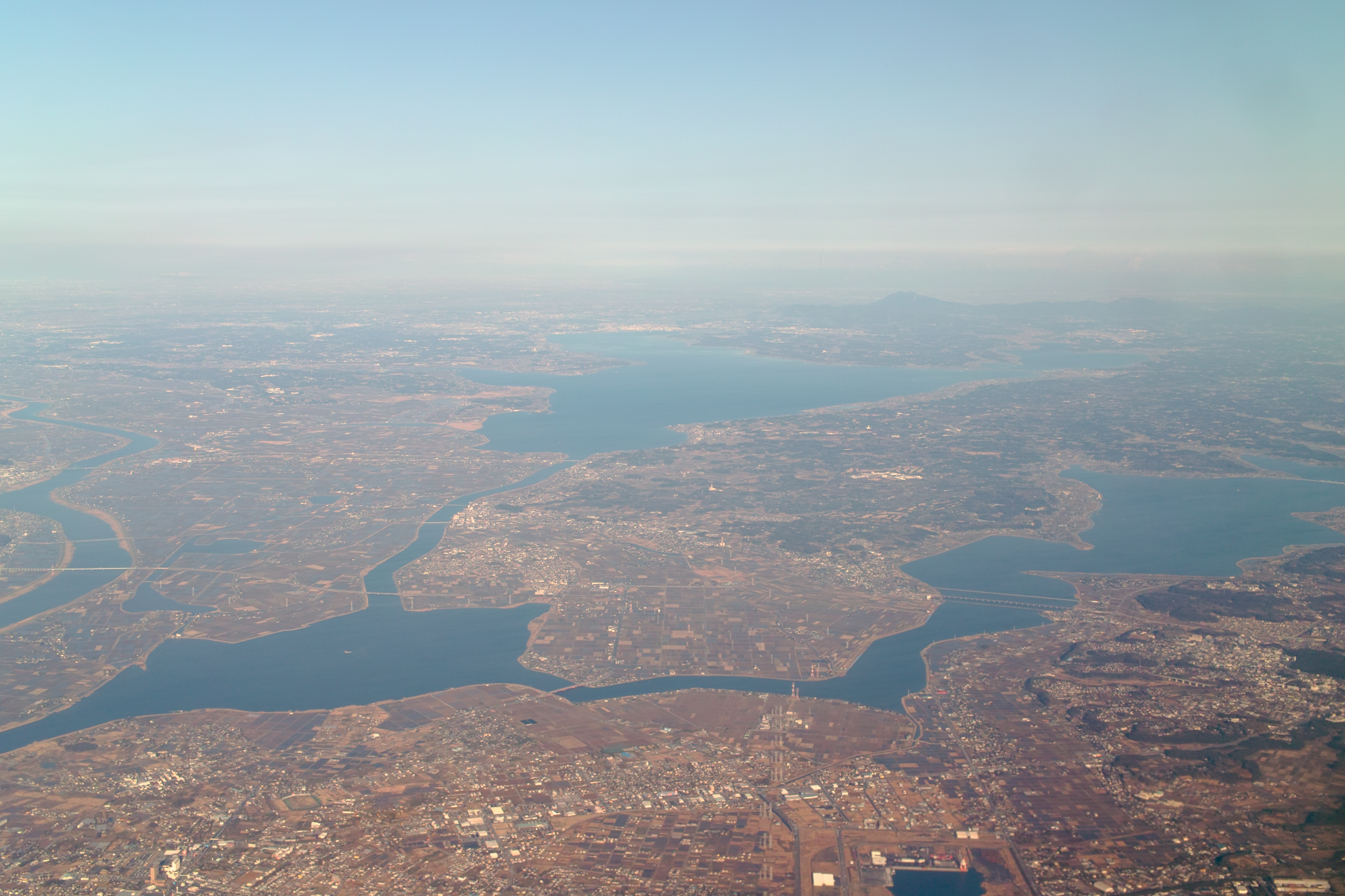
Aerial Photography (Kasumigaura, Ibaraki, Japan)
20071012-_DSC0159.jpg

160804 AKL-NRT-04.jpg
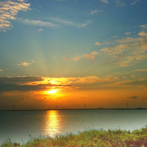
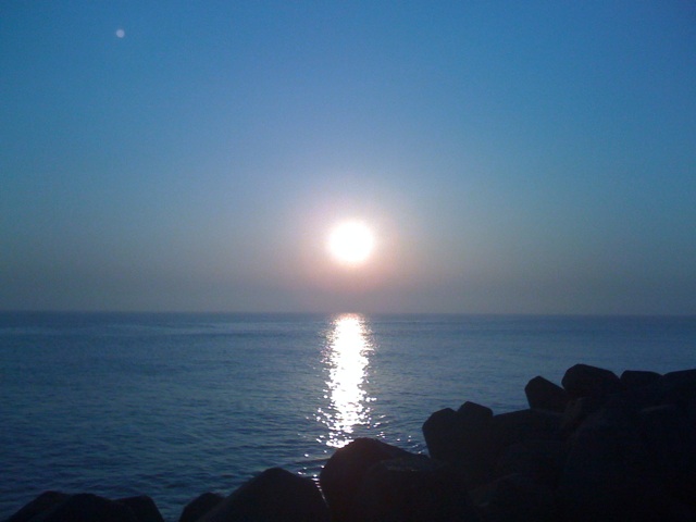
夕陽を撮りに来ました( ´ ▽ ` )ノ #iphoneography #yon #20110731
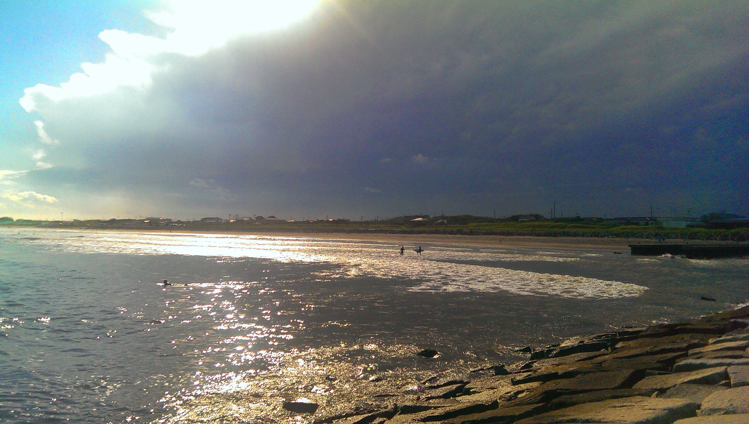
今空 東京方面は黒い雲 #iphoneography #yon #Sky #20110726

2008/11/01

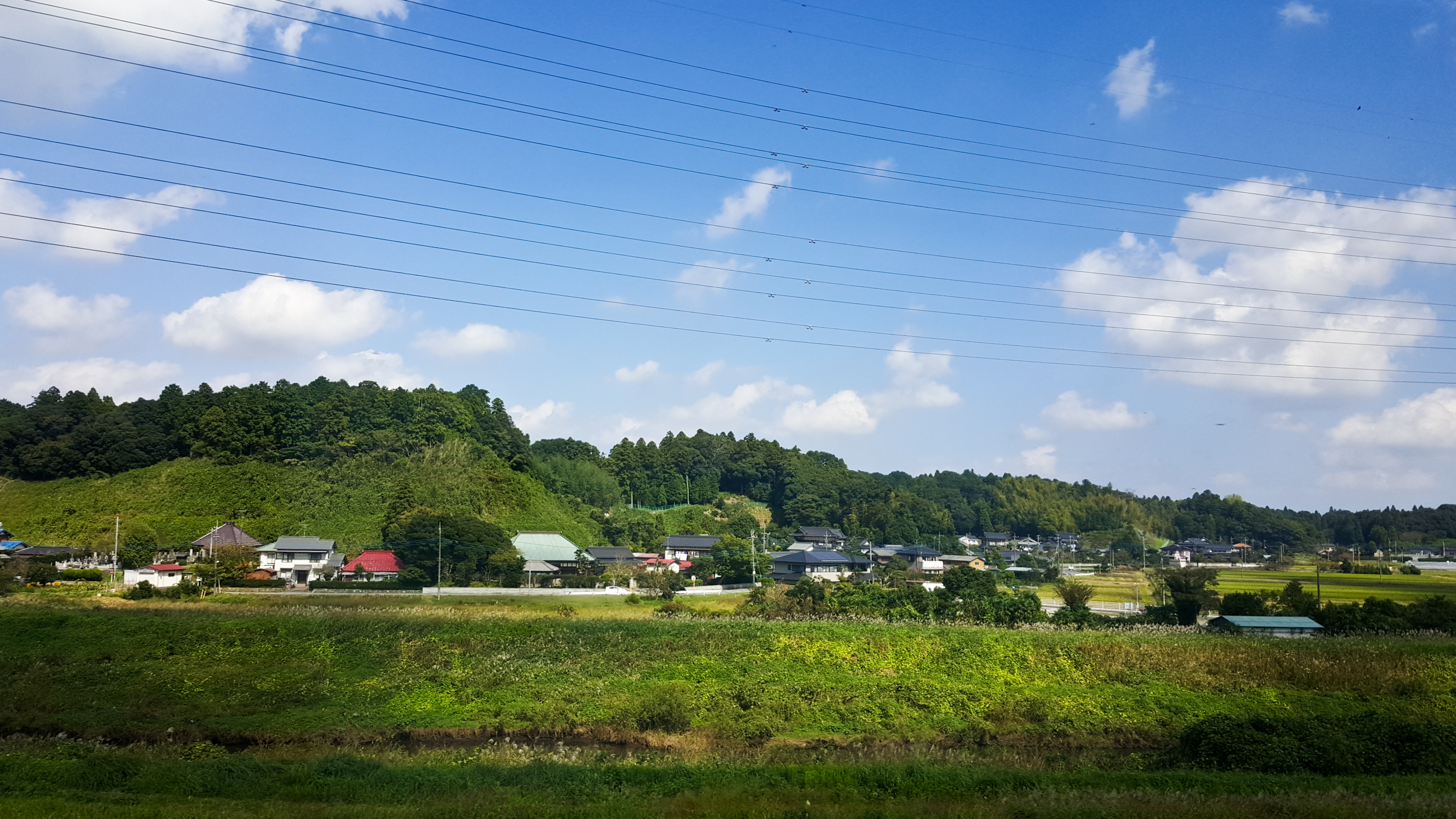
千葉
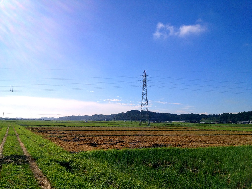
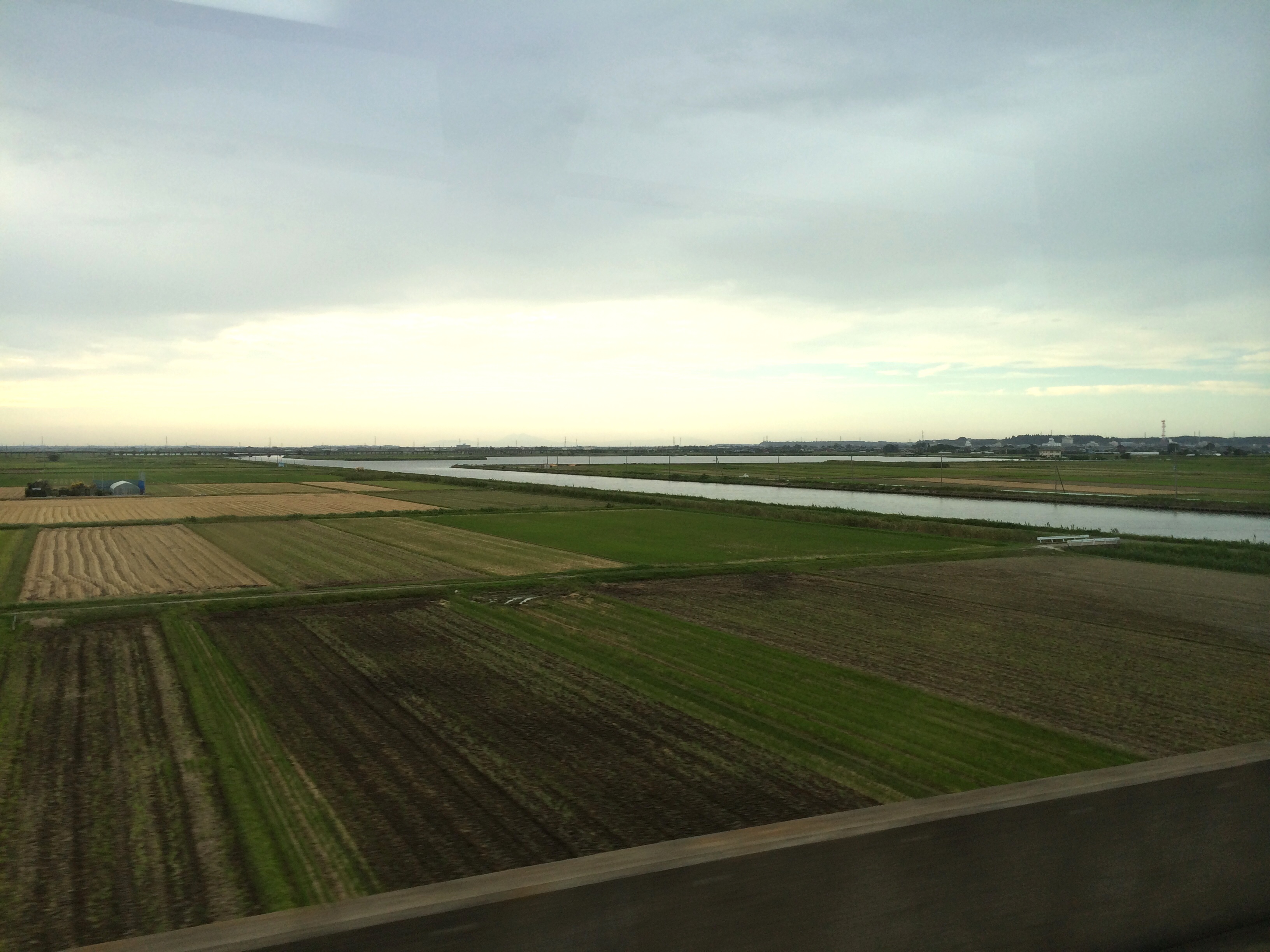
田園
Yanagawachuo 2 Chome, 2008/11/01
カメラロール-384

iPhone5sで撮影 銚子 大洗 2014年8月8日~9日
mytown beach2

カメラロール-386

Winter Walkway
Kashima Jingu Mifune Matsuri 2014
DSC08740.JPG
20151012-2015-10-12 10.57.14
カメラロール-389

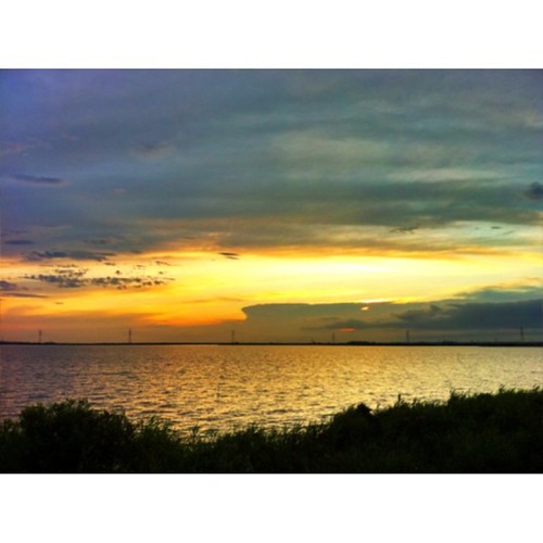
夕空
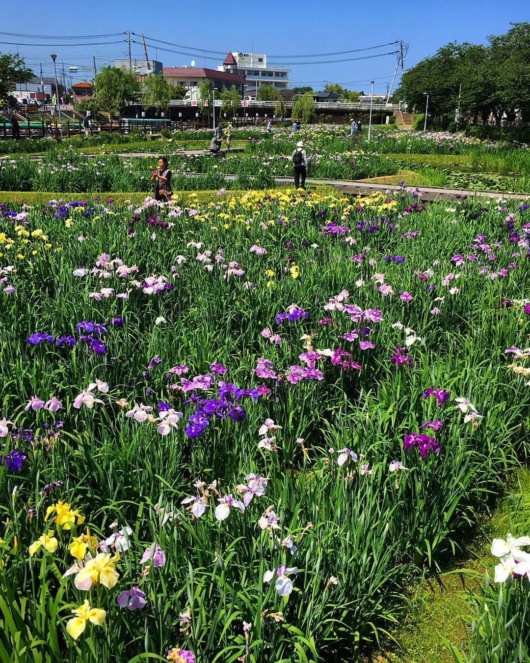
さわやかな風が吹いているよ。#水郷潮来あやめ園 #水郷潮来あやめ祭り #花菖蒲 #あやめ #菖蒲

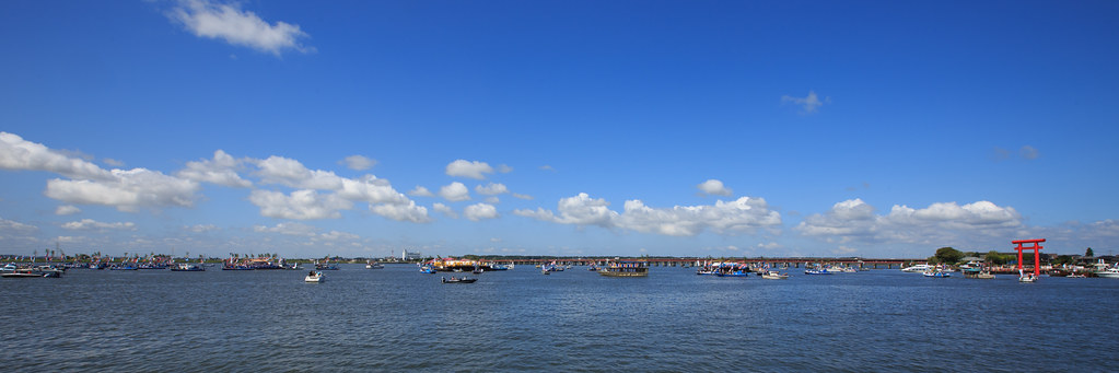
Katori-jingu torii, Chiba 香取神宮 千葉

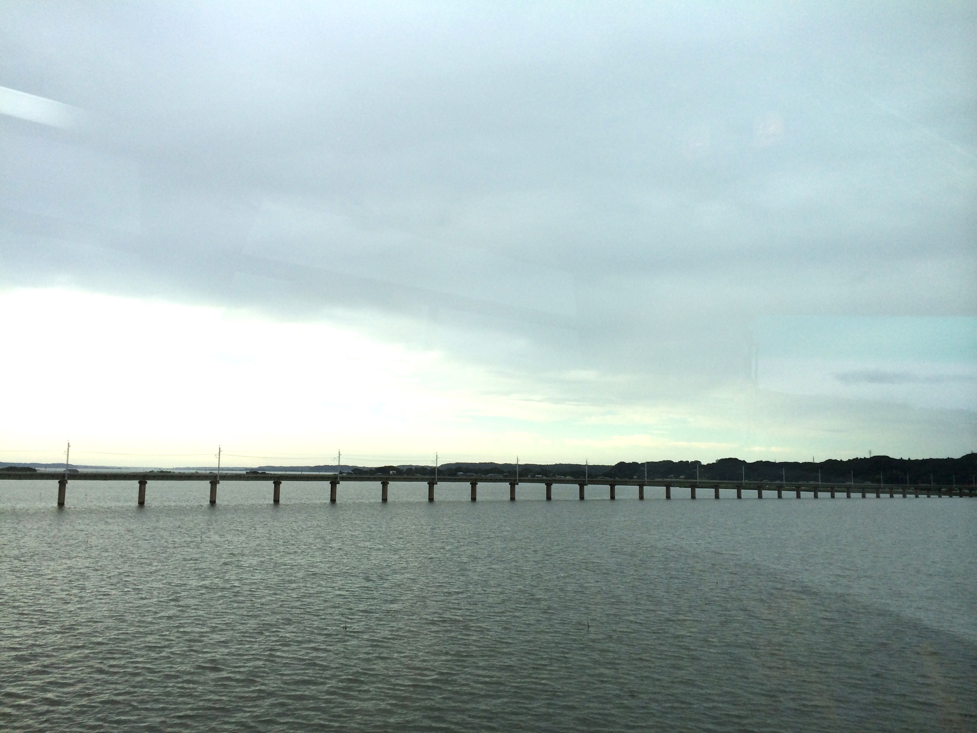
@鹿島線

Yanagawachuo 2 Chome, 2008/11/01
Topographic Map of Tonosho, Katori District, Chiba Prefecture, Japan
Find elevation by address:

Places in Tonosho, Katori District, Chiba Prefecture, Japan:
Places near Tonosho, Katori District, Chiba Prefecture, Japan:
Oza, Tōnoshō-machi, Katori-gun, Chiba-ken -, Japan
Miyabarachō, Chōshi-shi, Chiba-ken -, Japan
Moritochō, Chōshi-shi, Chiba-ken -, Japan
-5 Konagachō, Chōshi-shi, Chiba-ken -, Japan
Tomigawachō, Chōshi-shi, Chiba-ken -, Japan
Kotoda, Asahi-shi, Chiba-ken -, Japan
2 Chome- Kobunakichō, Chōshi-shi, Chiba-ken -, Japan
7 Chome- Takadachō, Chōshi-shi, Chiba-ken -, Japan
Nojirichō, Chōshi-shi, Chiba-ken -, Japan
Asahi
-2 Shiraishichō, Chōshi-shi, Chiba-ken -, Japan
Yokone, Asahi-shi, Chiba-ken -, Japan
Mikadochō, Chōshi-shi, Chiba-ken -, Japan
2 Chome- Miyakemachi, Chōshi-shi, Chiba-ken -, Japan
Yagichō, Chōshi-shi, Chiba-ken -, Japan
Yokkaichibamachi, Chōshi-shi, Chiba-ken -, Japan
Obamachō, Chōshi-shi, Chiba-ken -, Japan
6 Chome- Honjōmachi, Chōshi-shi, Chiba-ken -, Japan
4 Chome- Nagatsukamachi, Chōshi-shi, Chiba-ken -, Japan
3 Chome- Honjōmachi, Chōshi-shi, Chiba-ken -, Japan
Recent Searches:
- Elevation of Elwyn Dr, Roanoke Rapids, NC, USA
- Elevation of Congressional Dr, Stevensville, MD, USA
- Elevation of Bellview Rd, McLean, VA, USA
- Elevation of Stage Island Rd, Chatham, MA, USA
- Elevation of Shibuya Scramble Crossing, 21 Udagawacho, Shibuya City, Tokyo -, Japan
- Elevation of Jadagoniai, Kaunas District Municipality, Lithuania
- Elevation of Pagonija rock, Kranto 7-oji g. 8"N, Kaunas, Lithuania
- Elevation of Co Rd 87, Jamestown, CO, USA
- Elevation of Tenjo, Cundinamarca, Colombia
- Elevation of Côte-des-Neiges, Montreal, QC H4A 3J6, Canada