Elevation of Tome, Miyagi Prefecture, Japan
Location: Japan > Miyagi Prefecture >
Longitude: 141.187578
Latitude: 38.6919226
Elevation: 7m / 23feet
Barometric Pressure: 101KPa
Elevation Map:
Satellite Map:
Related Photos:
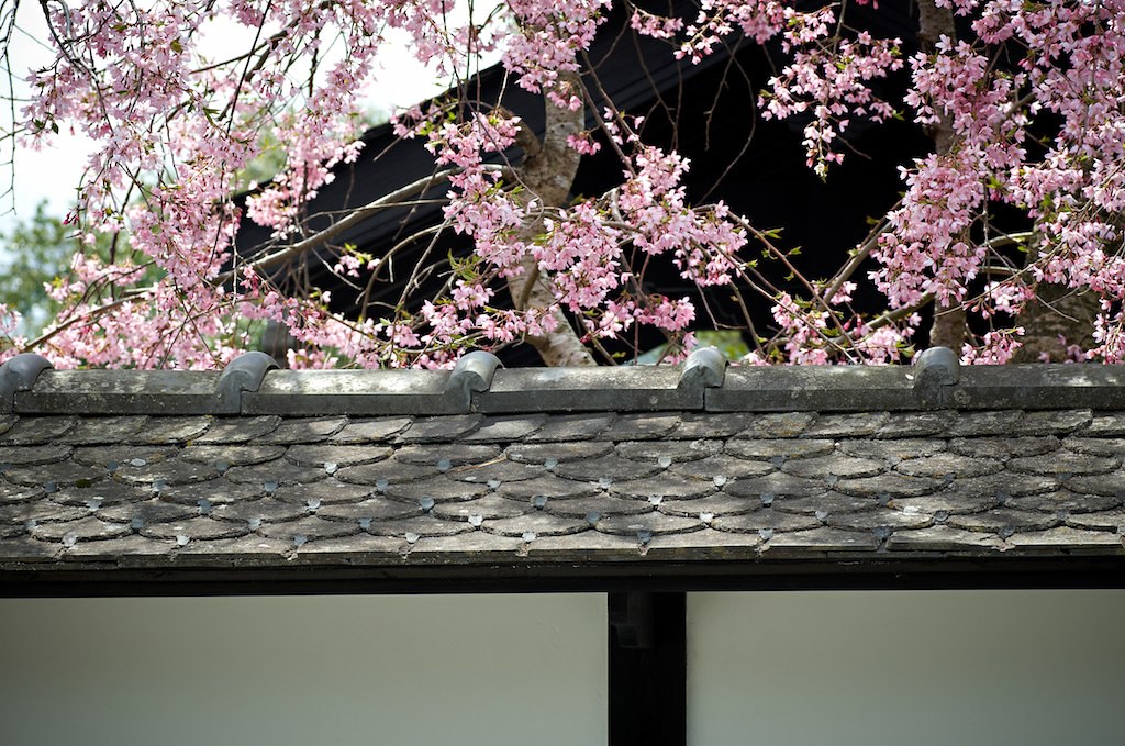
Sakura of old samurai residences

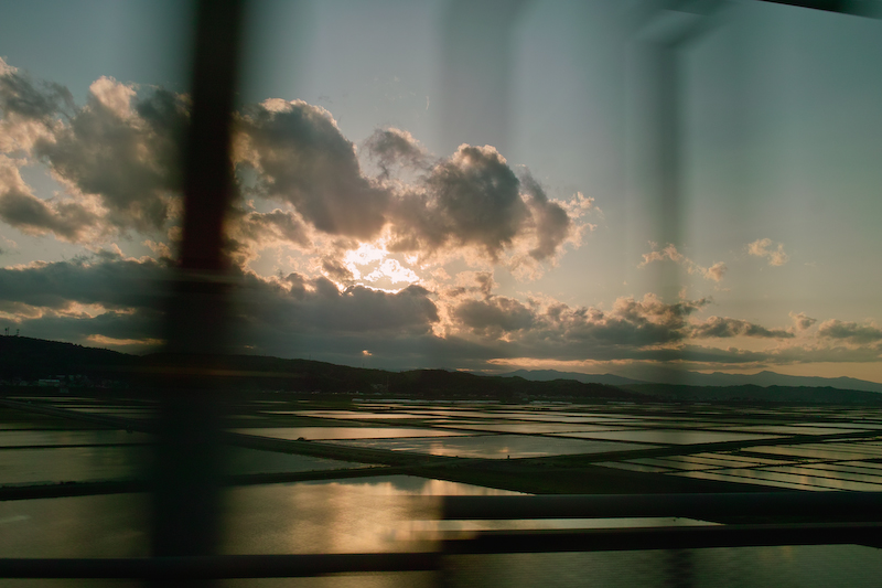
Beautiful view from the bullet train. Going to #kesennuma

Day 214/365
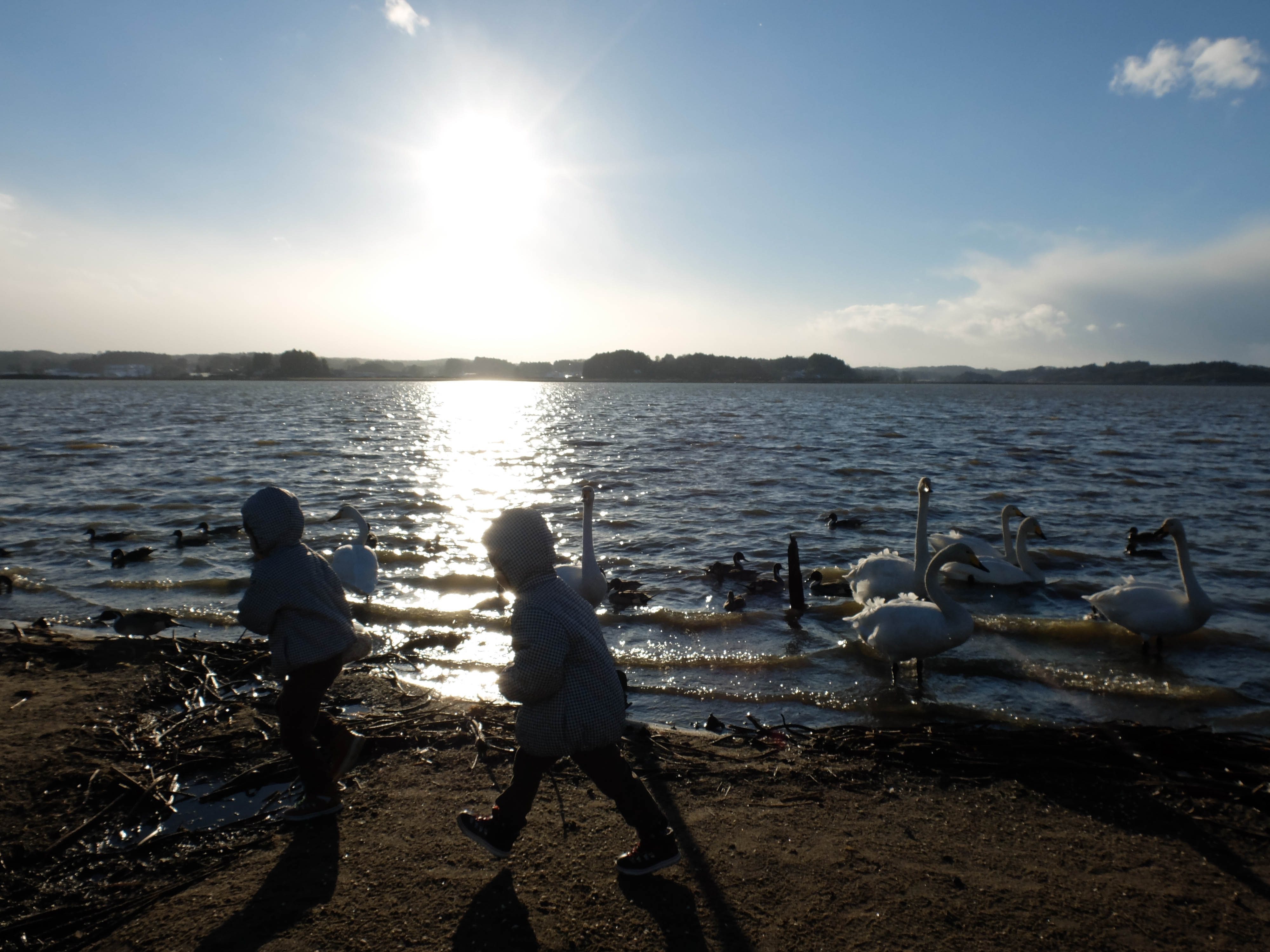
Day 215/365
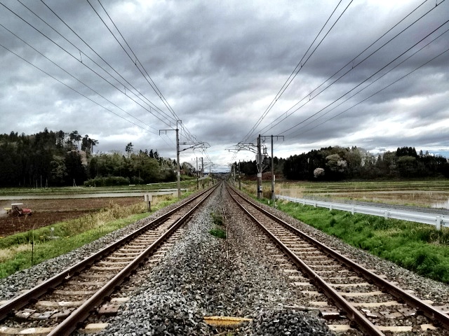
東北本線

2011Oct20 nobi-san3161
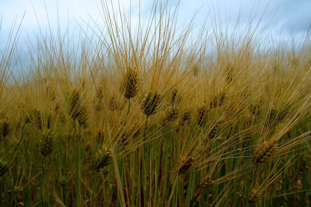
麦秋1(Ripe of Weat)
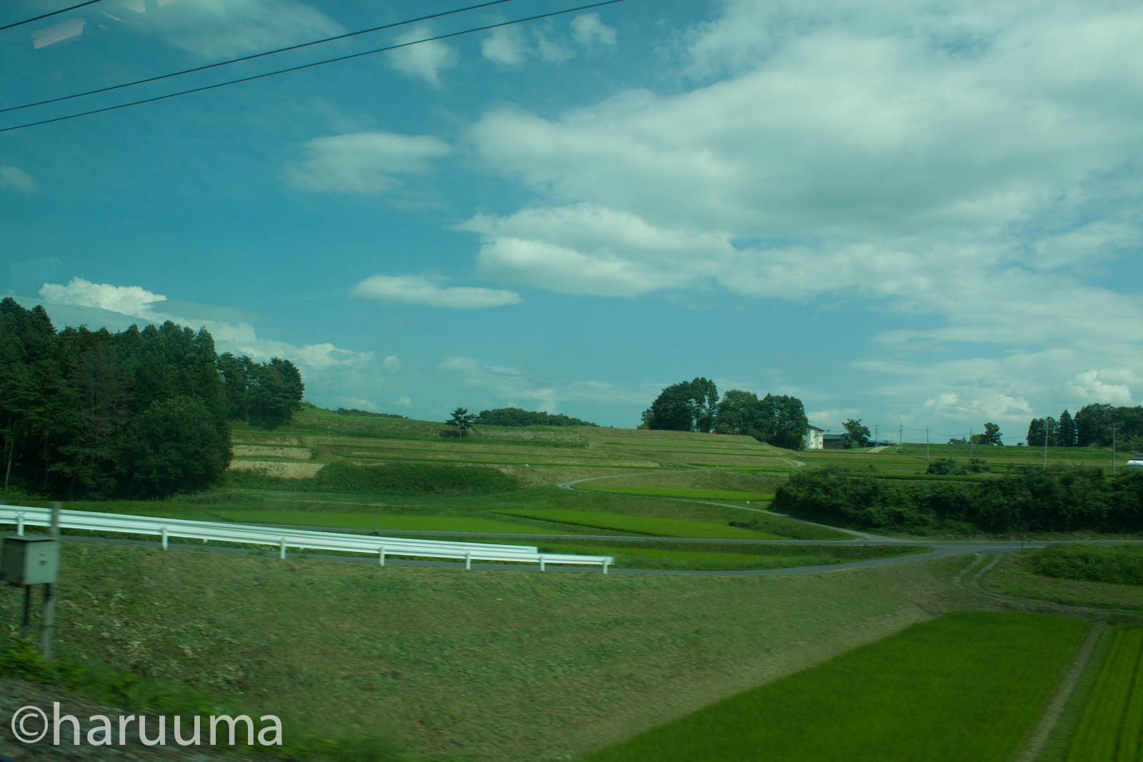
Paddy field landscape
段々畑?

麦秋2(Ripe of Weat)
Topographic Map of Tome, Miyagi Prefecture, Japan
Find elevation by address:

Places in Tome, Miyagi Prefecture, Japan:
Places near Tome, Miyagi Prefecture, Japan:
Higashisanuma-56 Hasamachōsanuma, Tome-shi, Miyagi-ken -, Japan
Kagodan-44 Nakadachō Uwanuma, Tome-shi, Miyagi-ken -, Japan
Ōtakoshimizu-47-24 Tsukidate, Kurihara-shi, Miyagi-ken -, Japan
Kakizuma-6 Narisawa, Wakuya-chō, Tōda-gun, Miyagi-ken -, Japan
Toda District
Wakuya
Kurihara
Tanumayashiki-44 Wadatanuma, Misato-machi, Tōda-gun, Miyagi-ken -, Japan
Misato
Tawaraniwayon-51 Kitamura, Ishinomaki-shi, Miyagi-ken -, Japan
Maehasama-31 Kashimadaikimazuka, Ōsaki-shi, Miyagi-ken -, Japan
Kitsunezakinakaarata-79 Ichihasama, Kurihara-shi, Miyagi-ken -, Japan
Nishigoya-76 Fujisawachō Fujisawa, Ichinoseki-shi, Iwate-ken -, Japan
1-5 Chiyodachō, Ichinoseki-shi, Iwate-ken -, Japan
Torinosu-7 Ōshio, Higashimatsushima-shi, Miyagi-ken -, Japan
Tatemae-15 Komatsu, Higashimatsushima-shi, Miyagi-ken -, Japan
Tatemae--1 Akai, Higashimatsushima-shi, Miyagi-ken -, Japan
Ichinoseki
Dōnoyama-99 Nishifukuda, Higashimatsushima-shi, Miyagi-ken -, Japan
Osaki
Recent Searches:
- Elevation of Spaceport America, Co Rd A, Truth or Consequences, NM, USA
- Elevation of Warwick, RI, USA
- Elevation of Fern Rd, Whitmore, CA, USA
- Elevation of 62 Abbey St, Marshfield, MA, USA
- Elevation of Fernwood, Bradenton, FL, USA
- Elevation of Felindre, Swansea SA5 7LU, UK
- Elevation of Leyte Industrial Development Estate, Isabel, Leyte, Philippines
- Elevation of W Granada St, Tampa, FL, USA
- Elevation of Pykes Down, Ivybridge PL21 0BY, UK
- Elevation of Jalan Senandin, Lutong, Miri, Sarawak, Malaysia