Elevation of Tollesboro, KY, USA
Location: United States > Kentucky > Lewis County >
Longitude: -83.576025
Latitude: 38.5595201
Elevation: 249m / 817feet
Barometric Pressure: 98KPa
Elevation Map:
Satellite Map:
Related Photos:
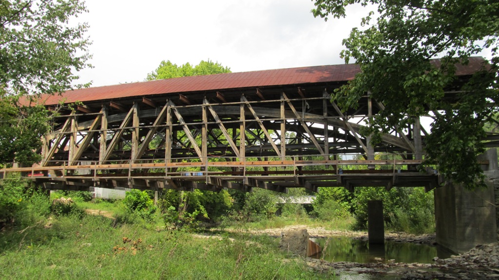
Upstream view of bridge

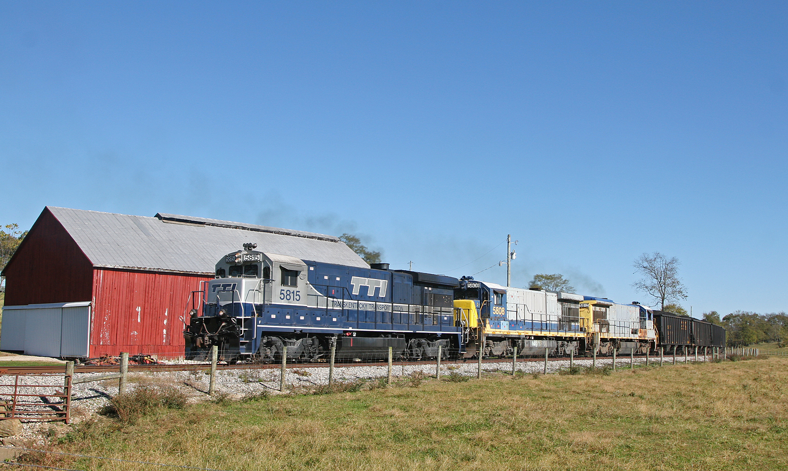
Rock Empties at Strodes Run
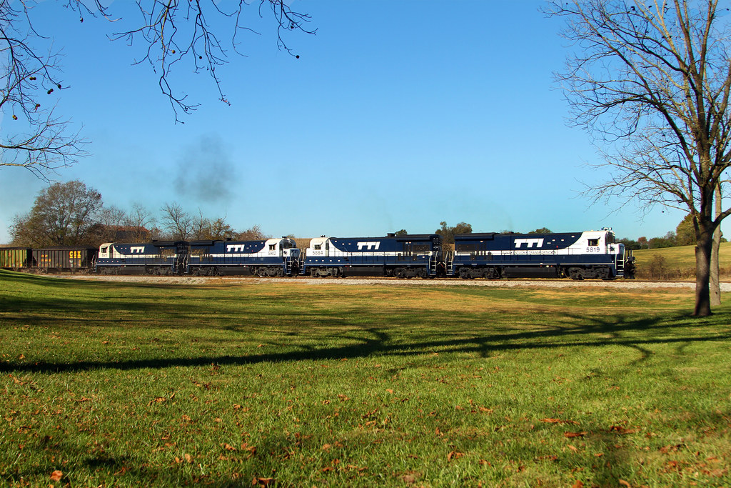
Pushers at Strodes Run
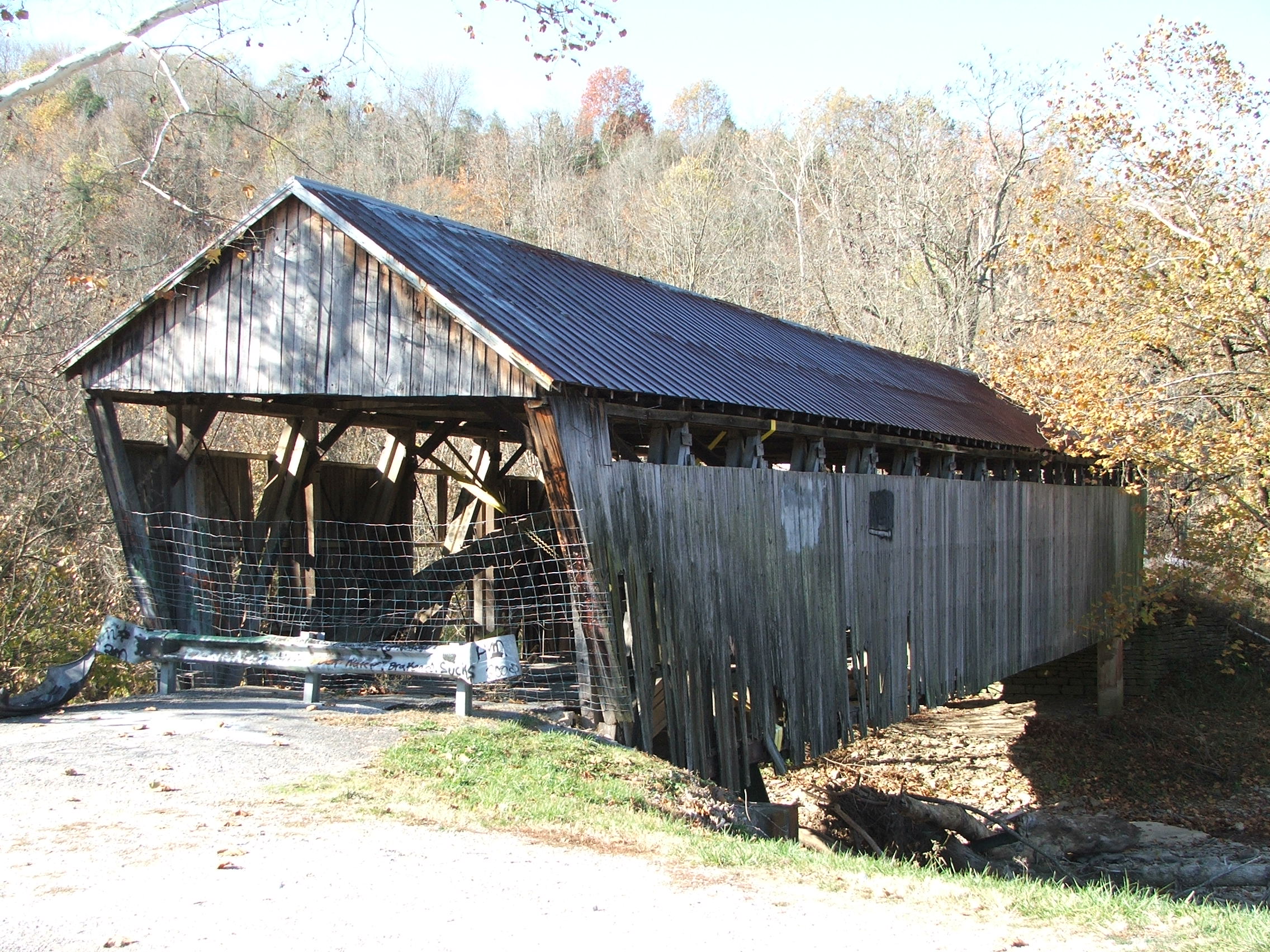
First view
TTI NB Coal @ Somo
jack Roush day 2013
#vscocam #art #southernohio #photography #photo #beautiful #ohio #appalachia #ohiophotographer #oappalachia #adamscounty #manchester
trains1072015 228
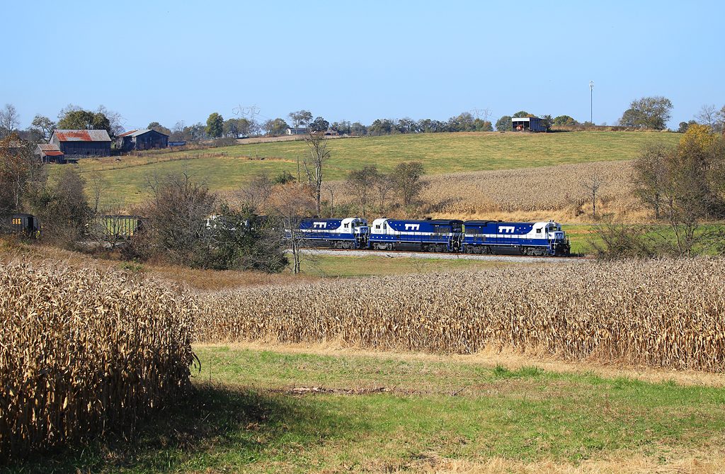
The brown corn of Fall and Blue & White GE's near Clarks Station
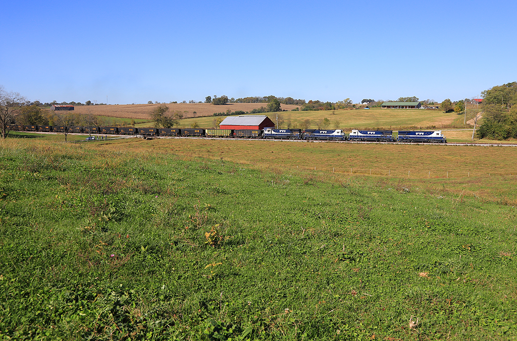
Clark Station
Open Pastures
AA Crash 4
Topographic Map of Tollesboro, KY, USA
Find elevation by address:

Places in Tollesboro, KY, USA:
Places near Tollesboro, KY, USA:
KY-, Tollesboro, KY, USA
Mason Lewis Rd, Maysville, KY, USA
2370 Foxport Rd
KY-57, Vanceburg, KY, USA
KY-, Vanceburg, KY, USA
Mason Lewis Rd, Maysville, KY, USA
1767 Beechy Creek Rd
2319 Beechy Creek Rd
KY-, Vanceburg, KY, USA
KY-8, Concord, KY, USA
Concord
Wallingford
Wallingford Rd, Flemingsburg, KY, USA
Taylor Mill Rd, Maysville, KY, USA
Sprigg Township
494 Crump Ln
122 Crump Ln
2677 Wallingford Rd
Maysville
Fleming County
Recent Searches:
- Elevation of 3 Nestling Wood Dr, Long Valley, NJ, USA
- Elevation of Ilungu, Tanzania
- Elevation of Yellow Springs Road, Yellow Springs Rd, Chester Springs, PA, USA
- Elevation of Rēzekne Municipality, Latvia
- Elevation of Plikpūrmaļi, Vērēmi Parish, Rēzekne Municipality, LV-, Latvia
- Elevation of 2 Henschke Ct, Caboolture QLD, Australia
- Elevation of Redondo Ave, Long Beach, CA, USA
- Elevation of Sadovaya Ulitsa, 20, Rezh, Sverdlovskaya oblast', Russia
- Elevation of Ulitsa Kalinina, 79, Rezh, Sverdlovskaya oblast', Russia
- Elevation of 72-31 Metropolitan Ave, Middle Village, NY, USA