Elevation of Tolland Turnpike, Willington, CT, USA
Location: United States > Connecticut > Tolland County > Willington >
Longitude: -72.263675
Latitude: 41.8751905
Elevation: 242m / 794feet
Barometric Pressure: 98KPa
Elevation Map:
Satellite Map:
Related Photos:

A Spring Sunrise

The Watchful Hunter

Standing Out
61/365 3-2-11 Horse Barn Hill

When I was young
Great Blue #Heron often take a quick stopover in the tiny pond in my yard or the larger one at the end of the road. I envy their view of the changing leaves from above! || #bird #animal #blueheron #capture #moment #beautiful

Atrium Light

Rear View Strong Porter House

CT Northern Lapwing Success!!! Two Happy Birders, Horsebarn Hill Road, and the Hill.
081507_08451.jpg
View from Soapstone Mountain Fire Tower

Willington Pizza plates
Rear view sunset
WP_20140824_10_51_10_Raw.jpg

Abandoned Road
nathan-hale-3664
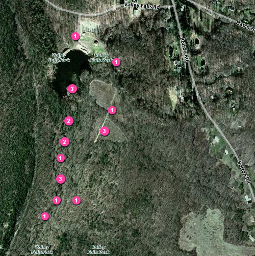
First live GPS mapping of our hike in Valley Falls Park

my day off 151
Valley Falls Park

my day off 169

my day off 168
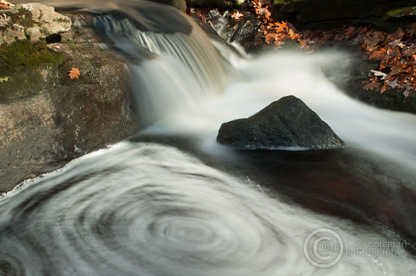
Swamp Brook Whirlpool
my day off 167
my day off 164

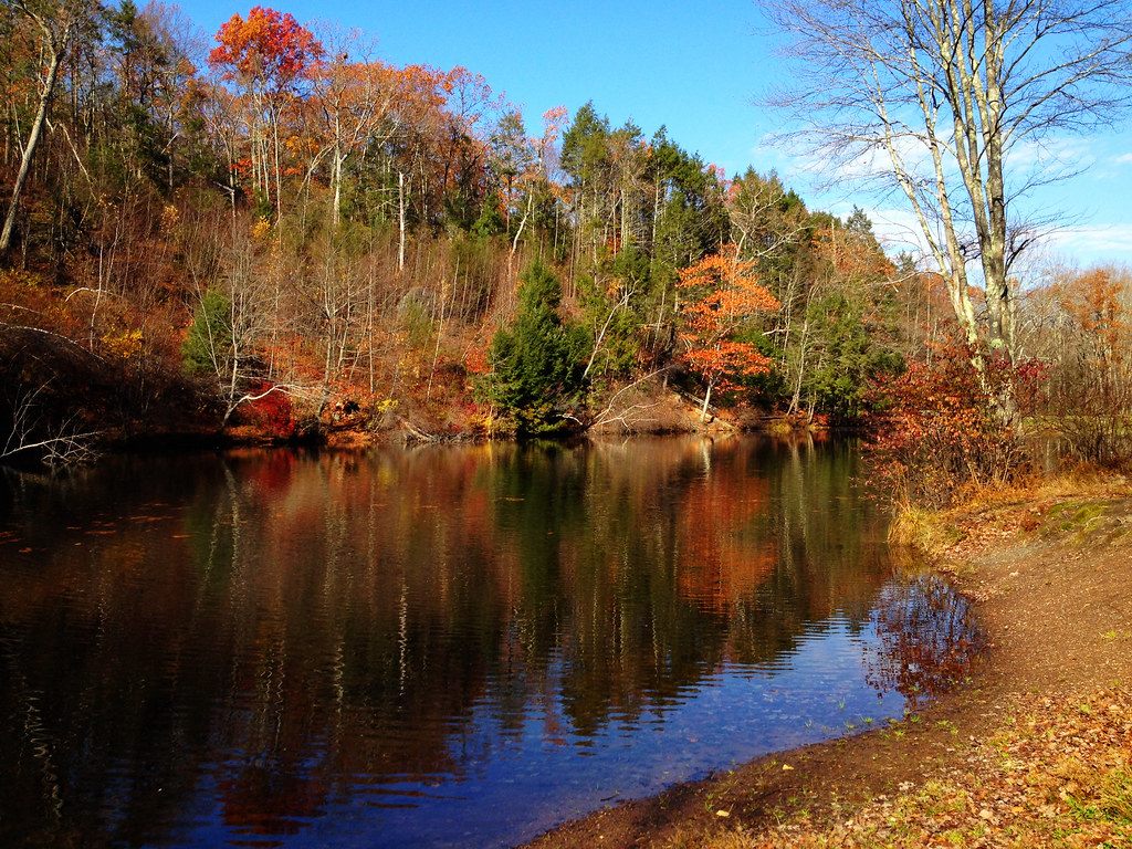
Snipsic Lake with Fall Foliage 3
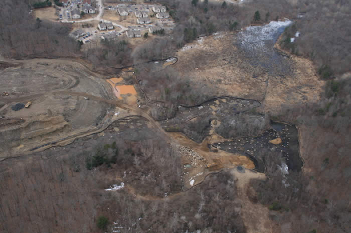
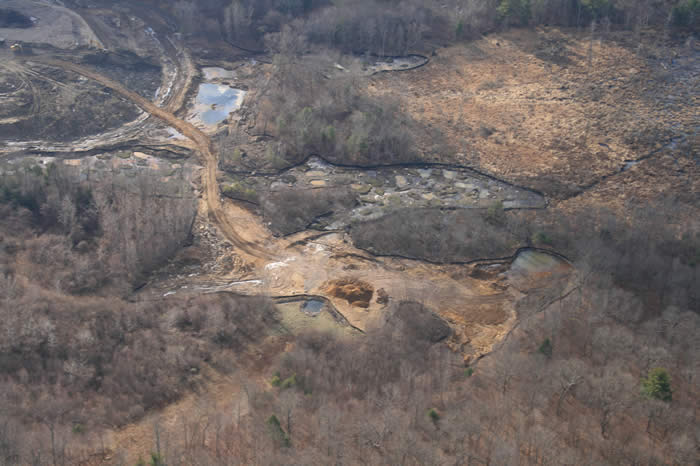
landfill-04-2007_24

Connecticut sunset

Autumn church
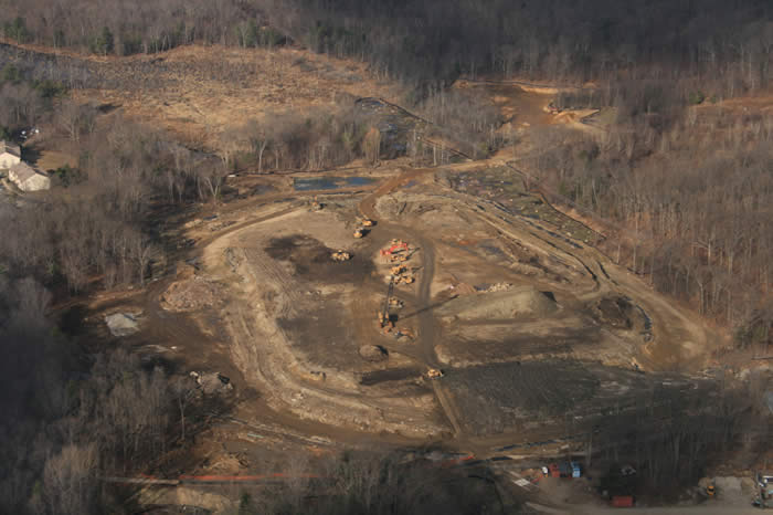
landfill-12-2006_05
FXCD0010 (2)
FXCD0003 (2)

FXCD0014 (2)
landfill-12-2006_07

FXCD0015 (2)
I discover a new composition every time I come here.

#dwlp #drawingwithlightphotography #landscape #fall #foliage #ct #manchester #connecticut
FXCD0056 (2)
Topographic Map of Tolland Turnpike, Willington, CT, USA
Find elevation by address:

Places near Tolland Turnpike, Willington, CT, USA:
23 Jared Sparks Rd
43 Old Farms Rd
Willington
90 Jared Sparks Rd
120 Willington Hill Rd
62 Luchon Rd
Ruby Road
385 Tolland Turnpike
Tolland Turnpike, Willington, CT, USA
228 Ruby Rd
River Road
4 Pinecrest Rd
131 Pinney Hill Rd
22 Seckar Rd
143 Pinney Hill Rd
139 River Rd
479 Tolland Turnpike
70 Fox Ridge Ln
28 Fermier Rd
149 Turnpike Rd
Recent Searches:
- Elevation of Lampiasi St, Sarasota, FL, USA
- Elevation of Elwyn Dr, Roanoke Rapids, NC, USA
- Elevation of Congressional Dr, Stevensville, MD, USA
- Elevation of Bellview Rd, McLean, VA, USA
- Elevation of Stage Island Rd, Chatham, MA, USA
- Elevation of Shibuya Scramble Crossing, 21 Udagawacho, Shibuya City, Tokyo -, Japan
- Elevation of Jadagoniai, Kaunas District Municipality, Lithuania
- Elevation of Pagonija rock, Kranto 7-oji g. 8"N, Kaunas, Lithuania
- Elevation of Co Rd 87, Jamestown, CO, USA
- Elevation of Tenjo, Cundinamarca, Colombia