Elevation of Tokmok, Kyrgyzstan
Location: Kyrgyzstan > Chuy Province >
Longitude: 75.3178952
Latitude: 42.822377
Elevation: 835m / 2739feet
Barometric Pressure: 92KPa
Elevation Map:
Satellite Map:
Related Photos:
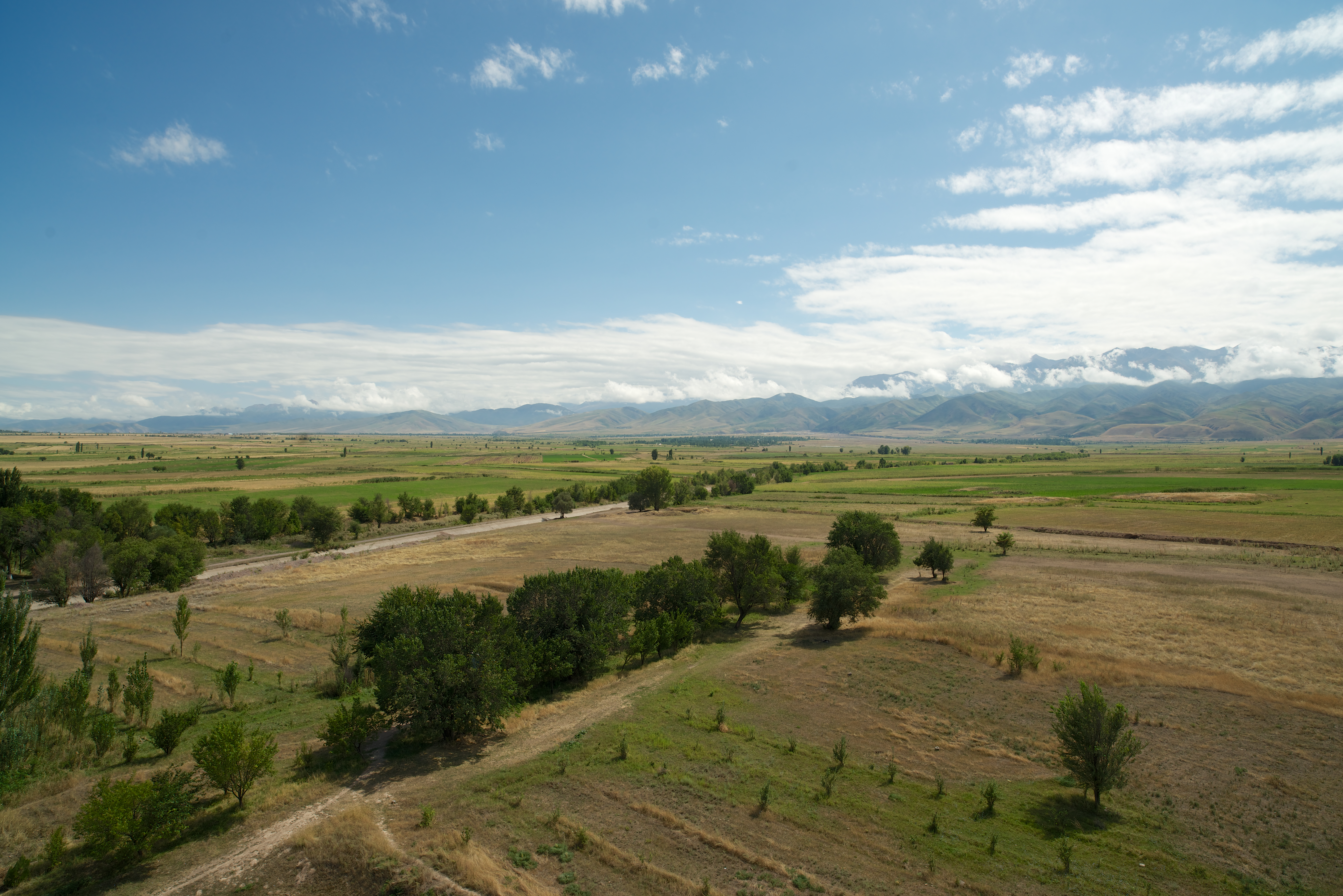
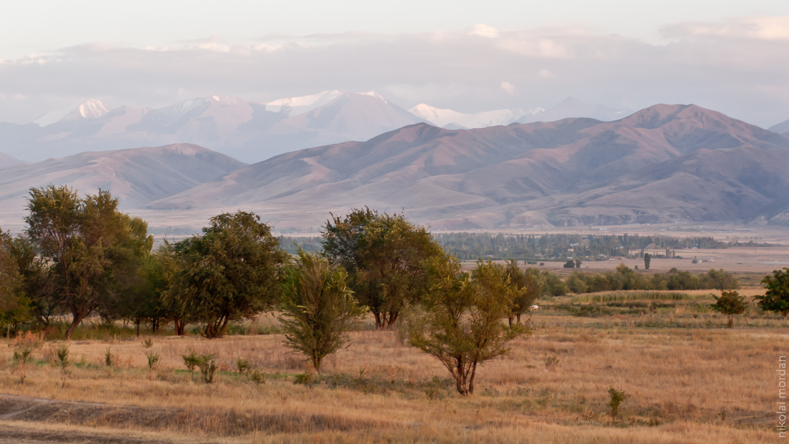
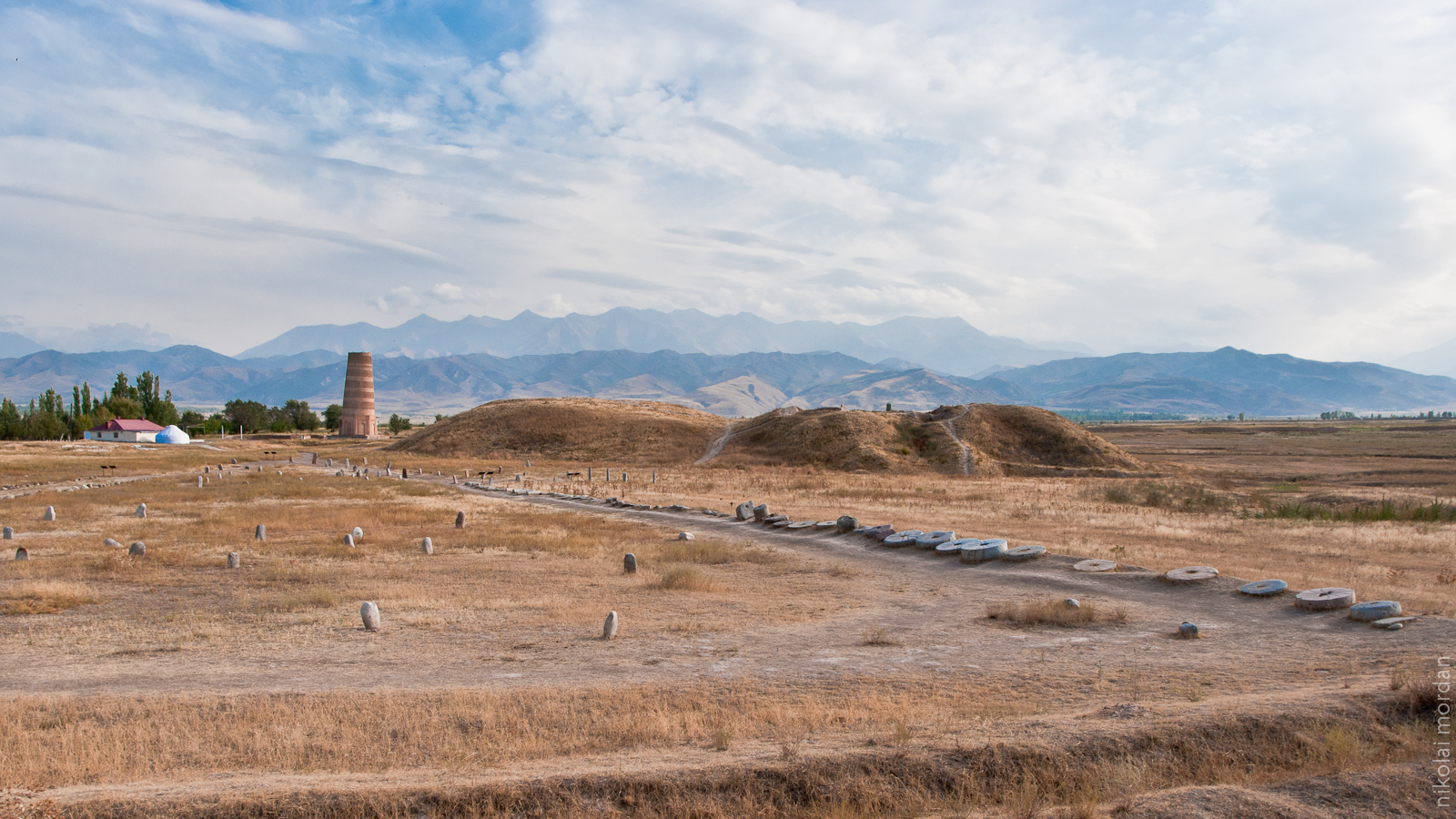
View from the top (12 of 13)
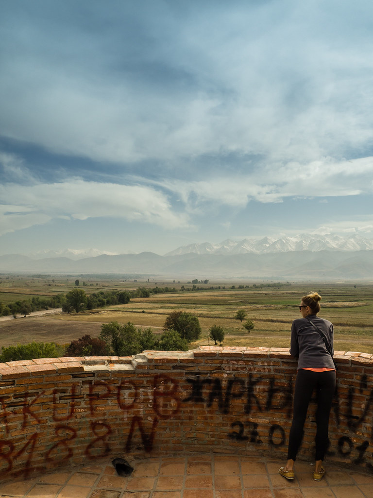
View from Burana Tower.
View from Burana Tower.
View from Burana Tower
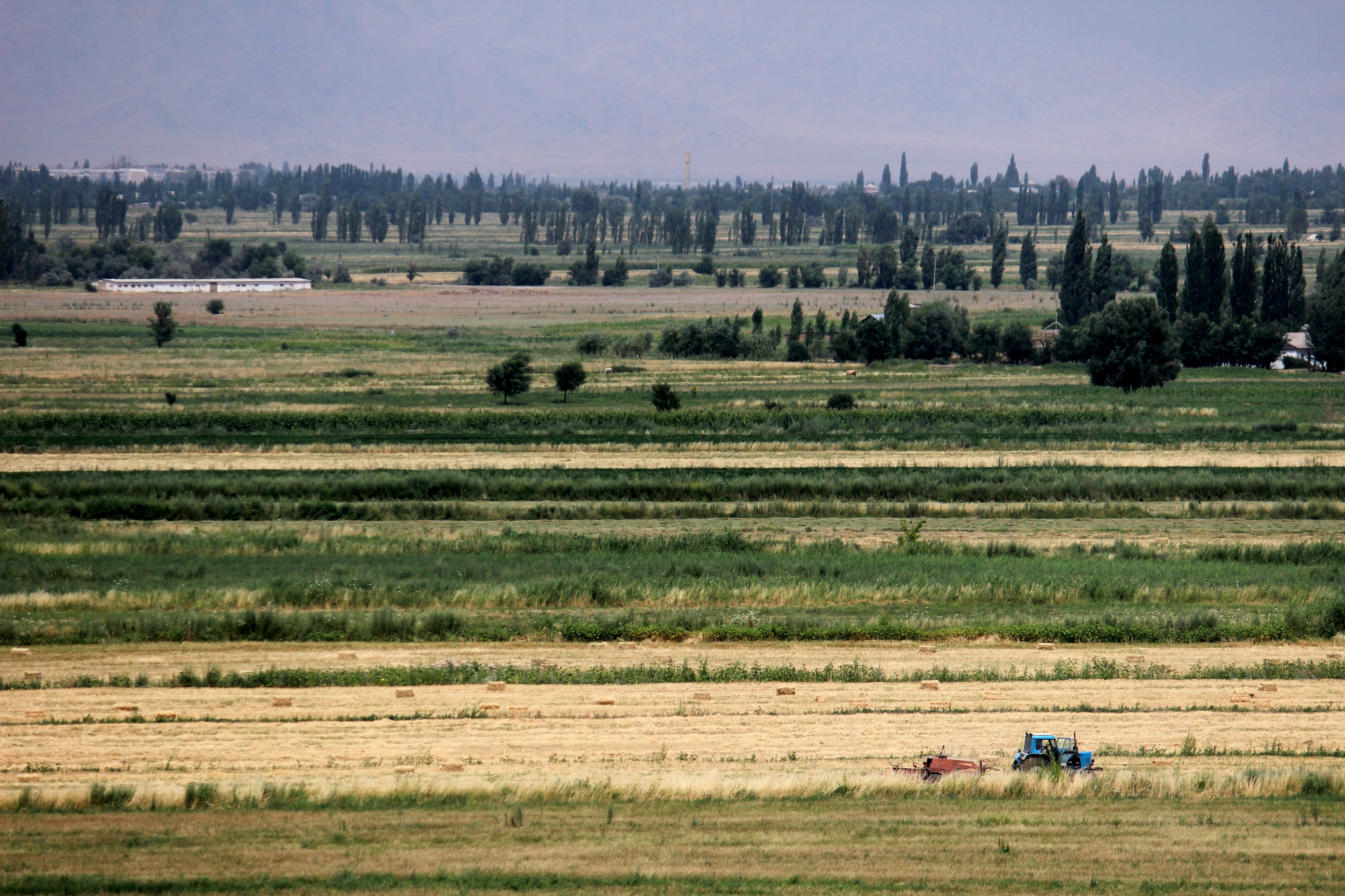
Green Van and the Great Tien Shan

Photos since Egypt
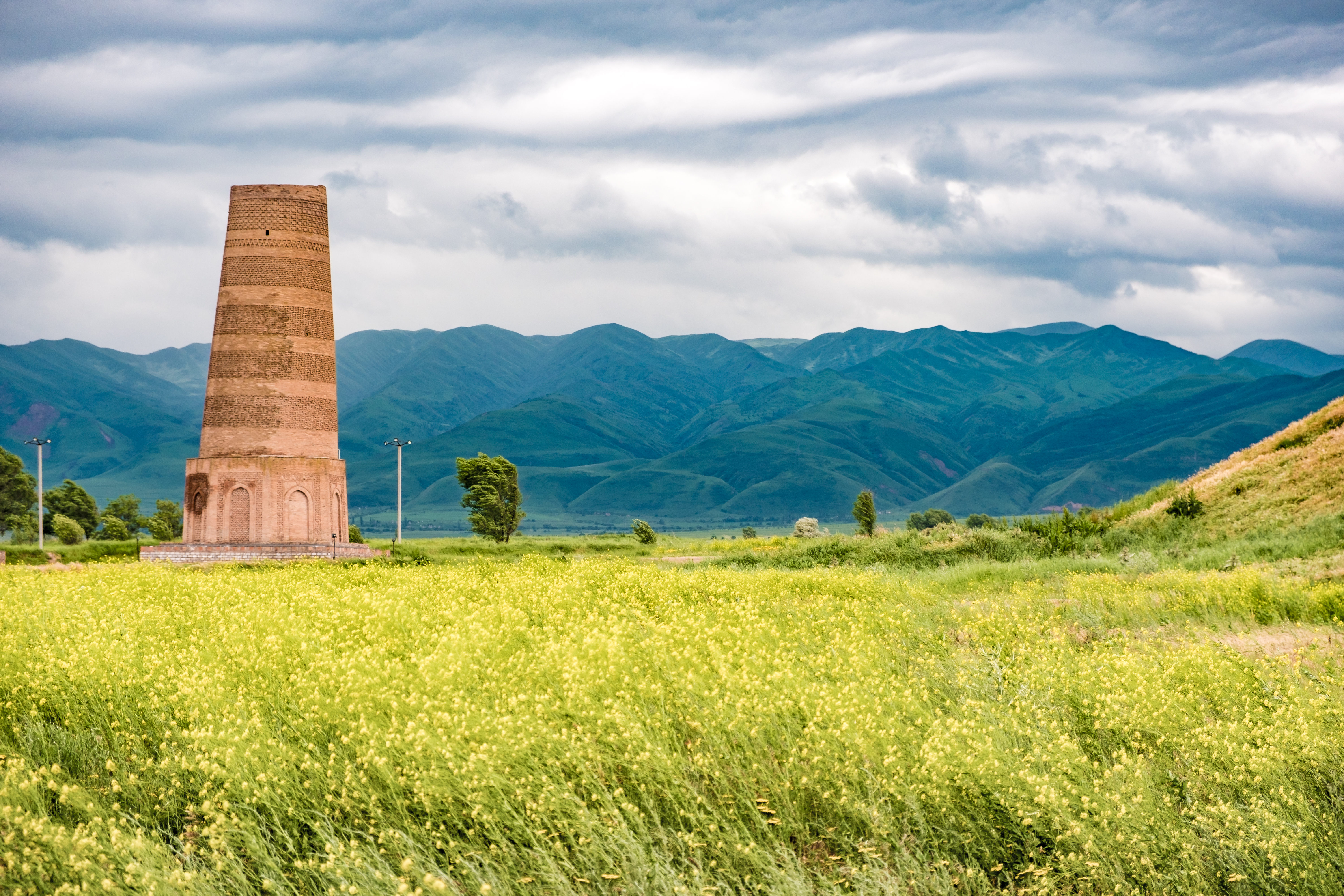
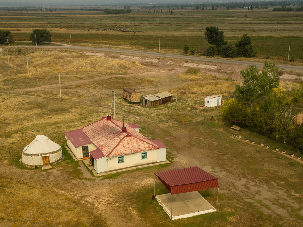
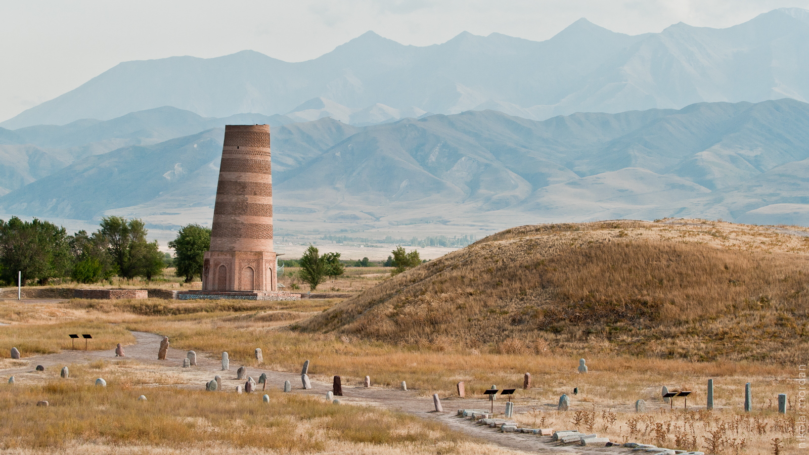
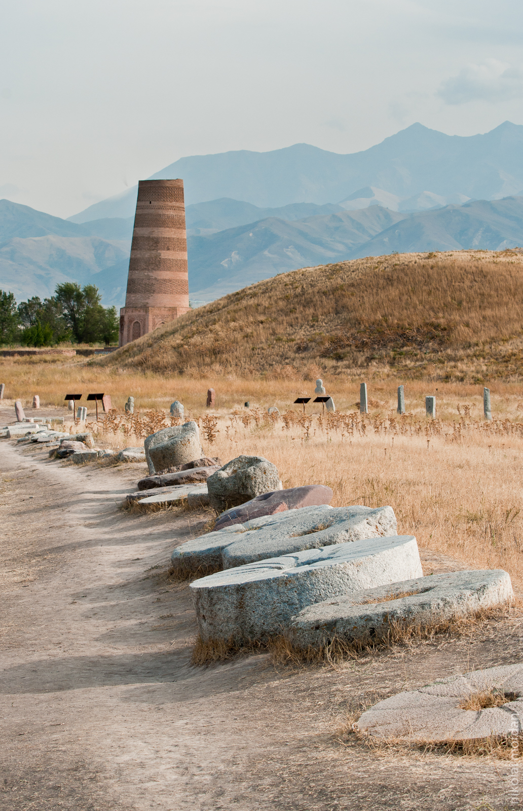
Burana Tower
Highlight the most important

Photos since Egypt

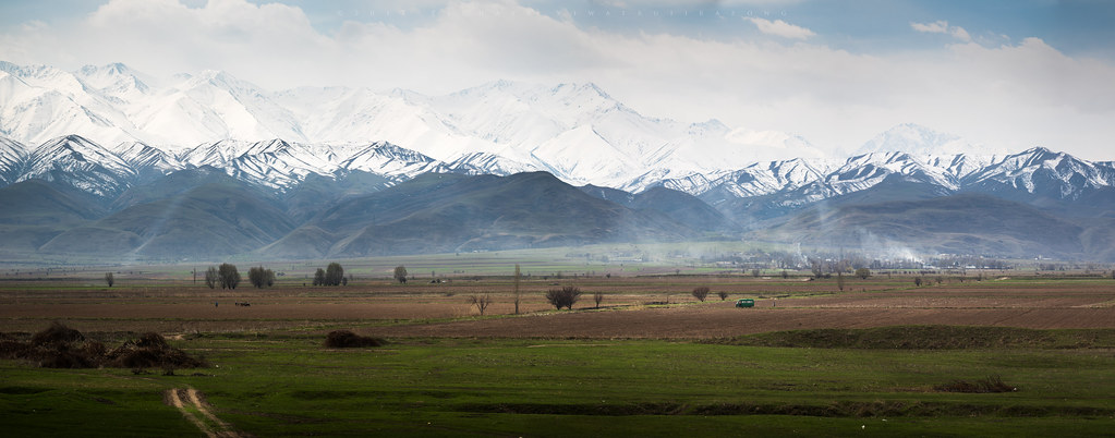
Tian Shan Mountains

Burana tower 2
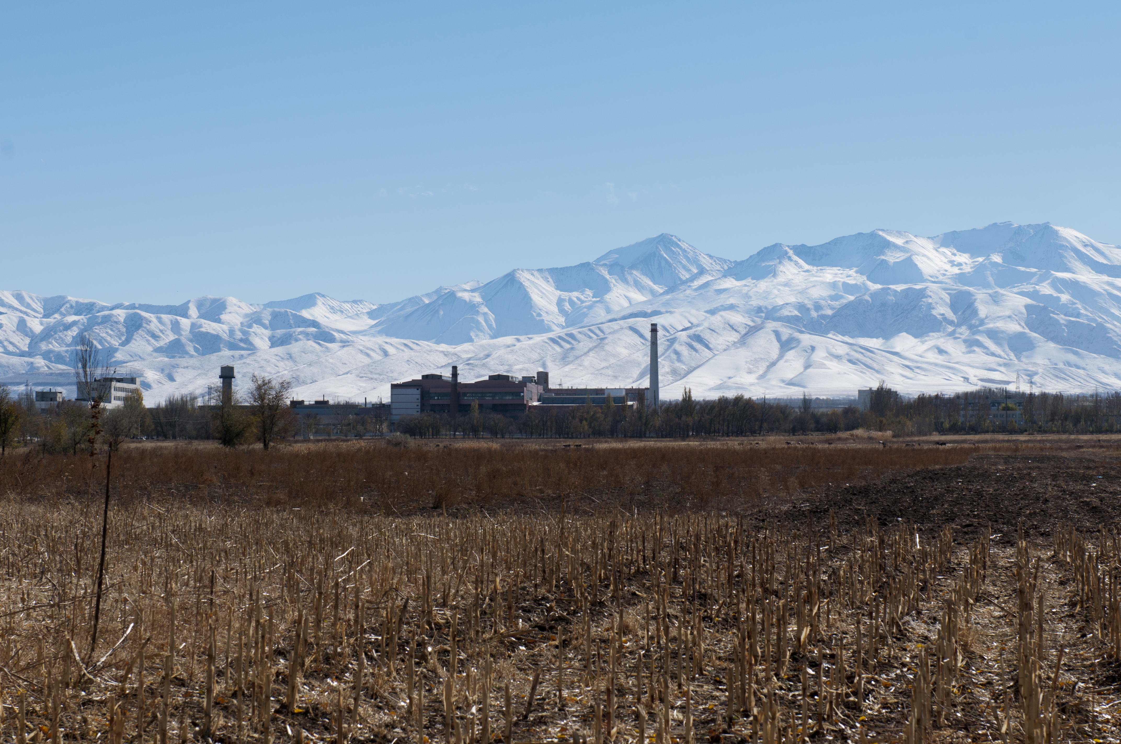
Interglass - Glass Manufacturers, Kyrgyz Republic

IMGP8832.jpg

Photos since Egypt
IMGP0531.jpg
IMGP8848.jpg
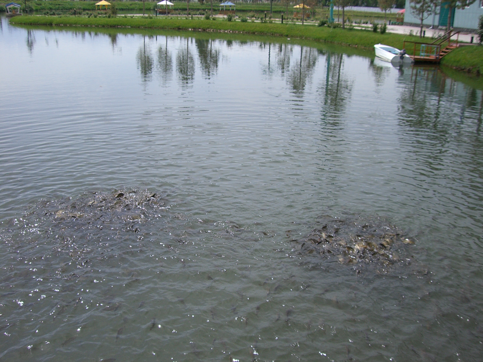
Please feed the fish ;-)
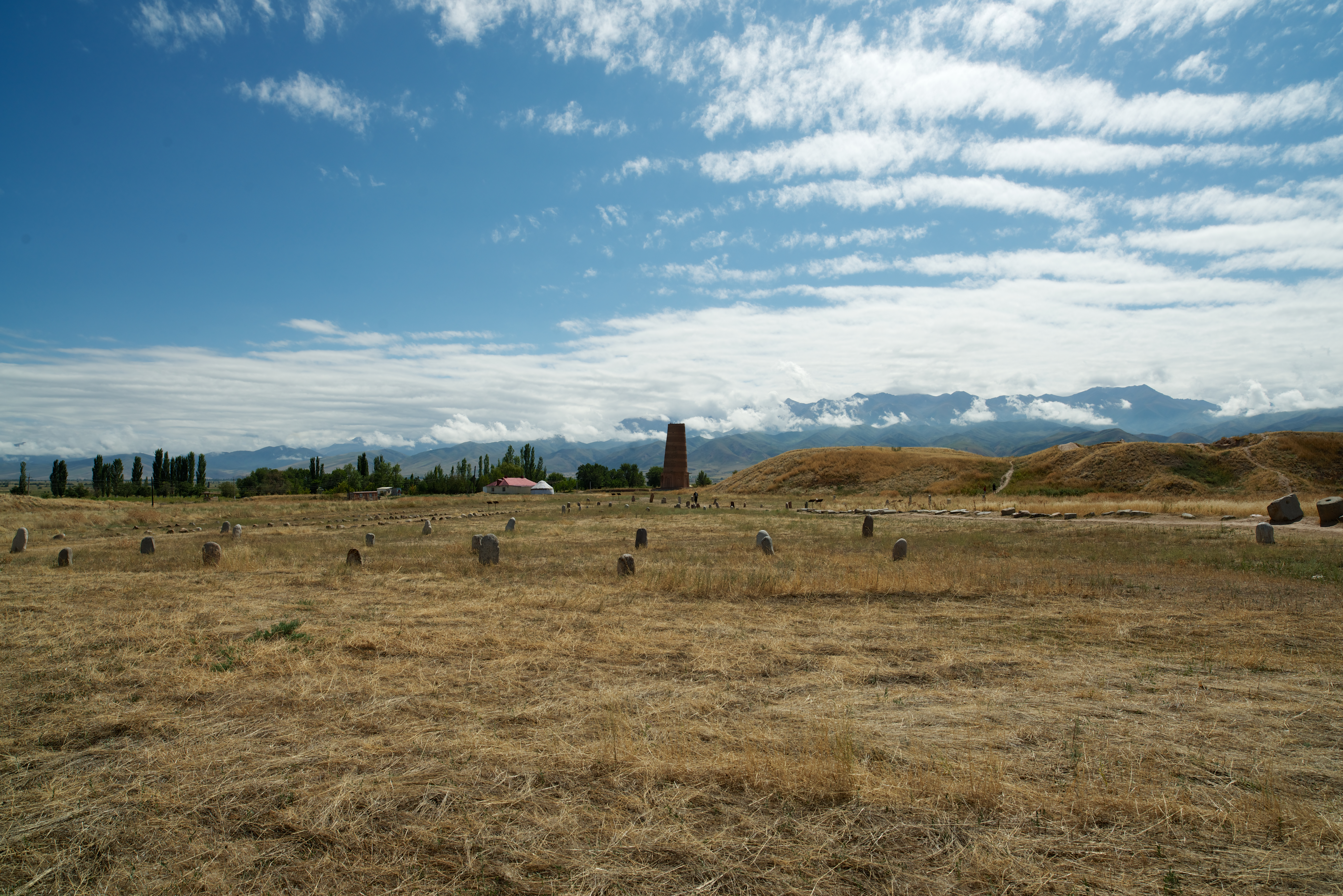
Burana Tower (8 of 13)
IMGP0530.jpg
IMGP0533.jpg

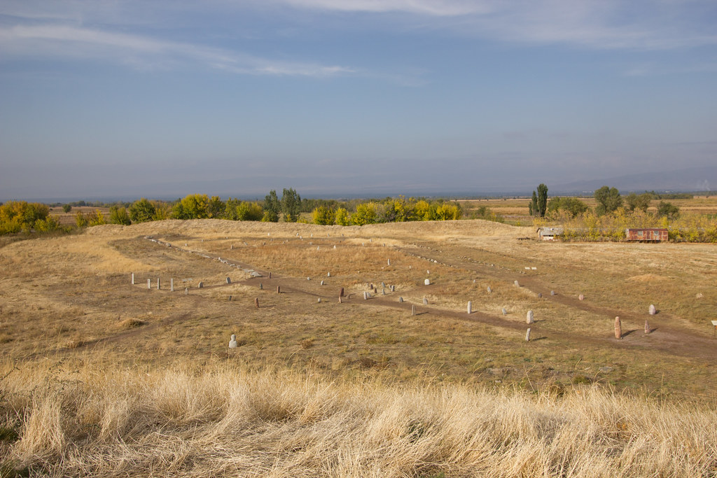
Balbal field

Balbal "Tom"
IMG_5349.jpg
Topographic Map of Tokmok, Kyrgyzstan
Find elevation by address:

Places near Tokmok, Kyrgyzstan:
Burana Tower
Don-aryk
Yurevka
Ysyk-ata
Pereval Kokmoynok
Kyrgyz Express Post, Office No. 2
Alamedin River
Ala-too Square
Chunkurchak
Kyrgyz Post
Бишкек Парк (bishkek Park)
Embassy Of The United States
Birinchi May District
Bishkek
Kochkor
Lenin District
Alamudun
Kopa
Recent Searches:
- Elevation of Congressional Dr, Stevensville, MD, USA
- Elevation of Bellview Rd, McLean, VA, USA
- Elevation of Stage Island Rd, Chatham, MA, USA
- Elevation of Shibuya Scramble Crossing, 21 Udagawacho, Shibuya City, Tokyo -, Japan
- Elevation of Jadagoniai, Kaunas District Municipality, Lithuania
- Elevation of Pagonija rock, Kranto 7-oji g. 8"N, Kaunas, Lithuania
- Elevation of Co Rd 87, Jamestown, CO, USA
- Elevation of Tenjo, Cundinamarca, Colombia
- Elevation of Côte-des-Neiges, Montreal, QC H4A 3J6, Canada
- Elevation of Bobcat Dr, Helena, MT, USA