Elevation of Toiyabe Street, Toiyabe St, Silver Springs, NV, USA
Location: United States > Nevada > Lyon County > Silver Springs >
Longitude: -119.21753
Latitude: 39.404458
Elevation: 1270m / 4167feet
Barometric Pressure: 87KPa
Elevation Map:
Satellite Map:
Related Photos:
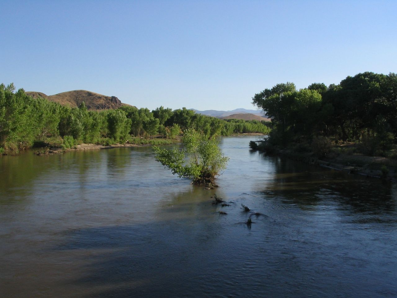
Carson River in late winter, view NW toward Churchill Butte
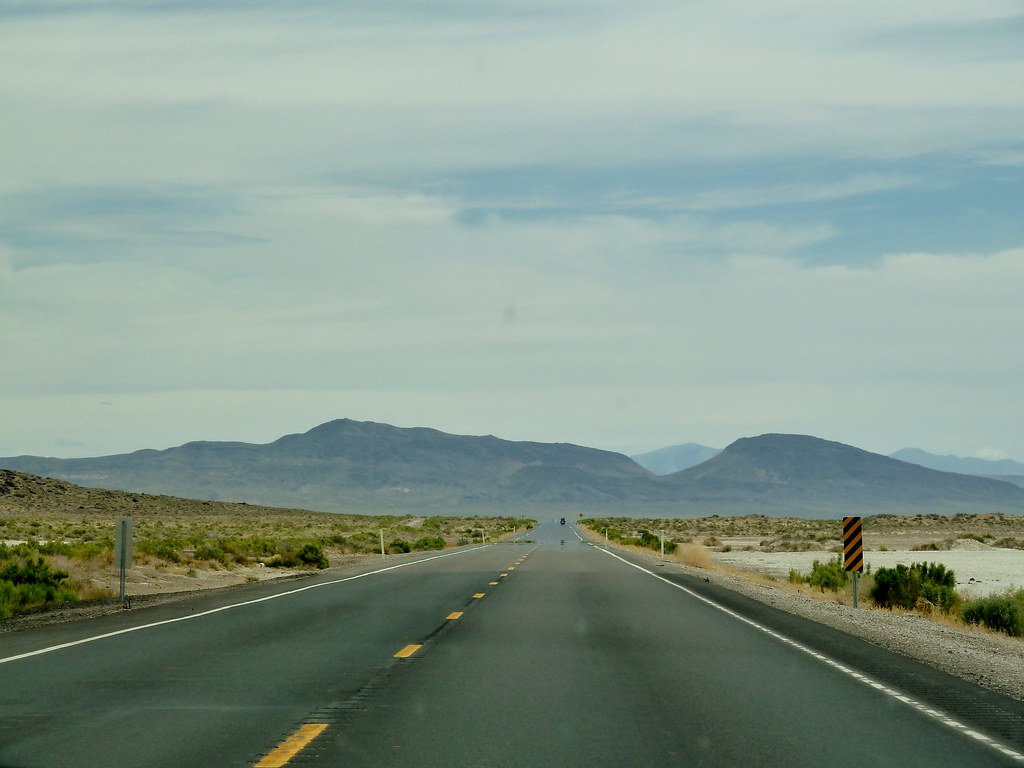
View of Route 50, Nevada (2)
Nevada 2017
Pine Nut Mountains

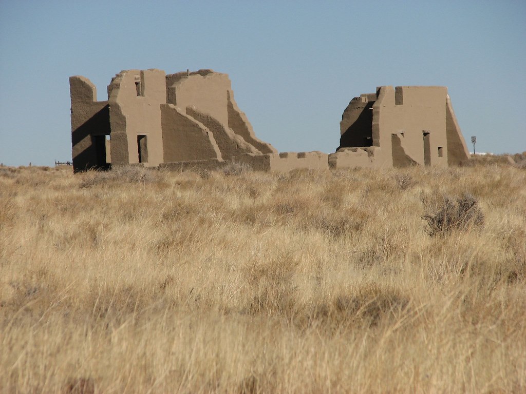
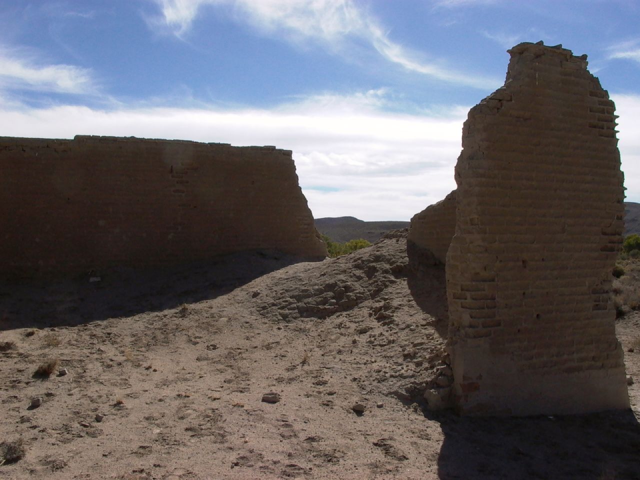
Fort Churchill, Nevada

Fun Run 2013 - 815
use to "be" something
Of days gone by
24HoursOfLemons-147
Fun Run 2013 - 0942
Fort Churchill, Nevada
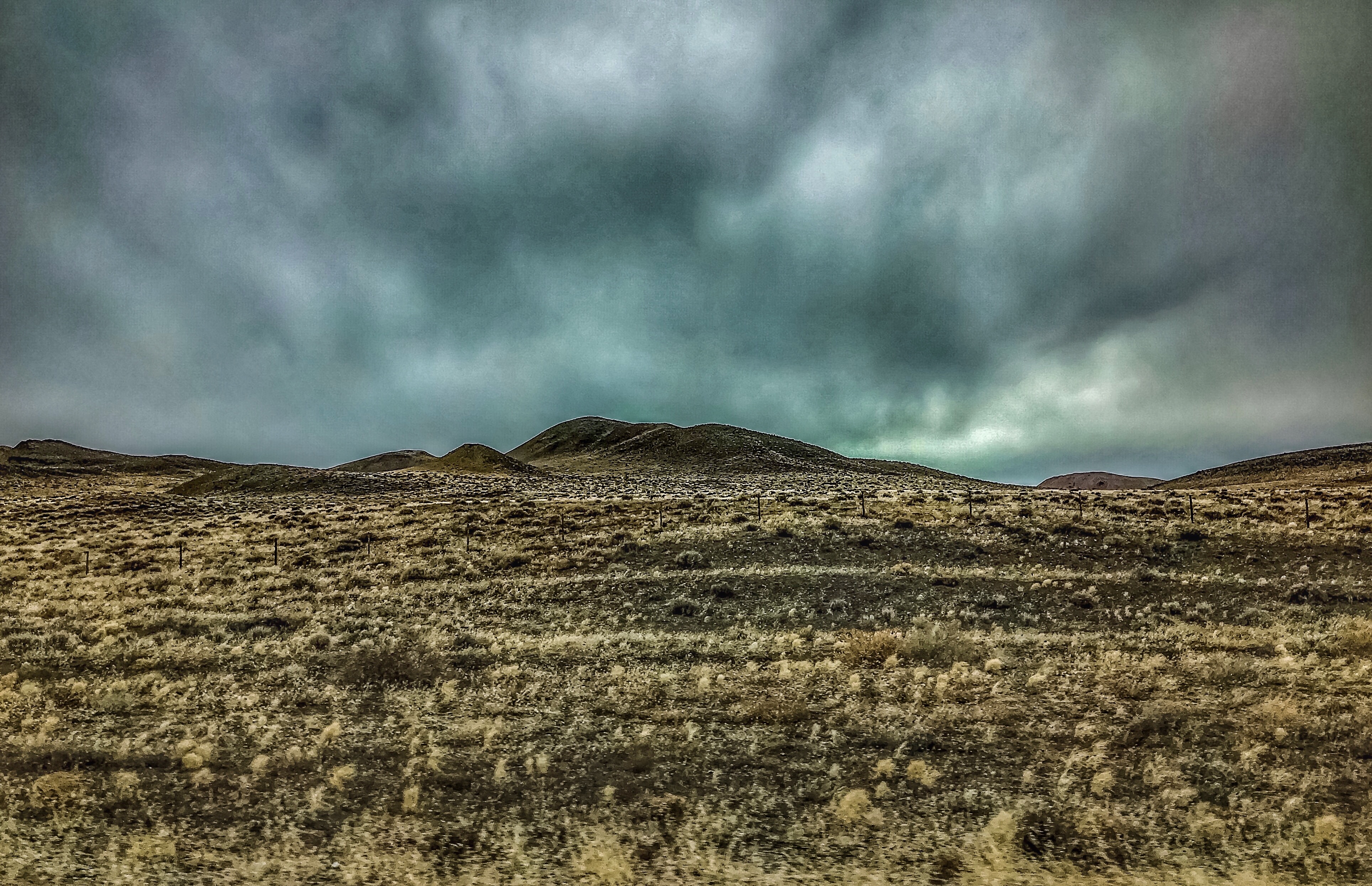
Before the Storm Comes
Shoot on Location

Carson City Trip-20131005-293.jpg
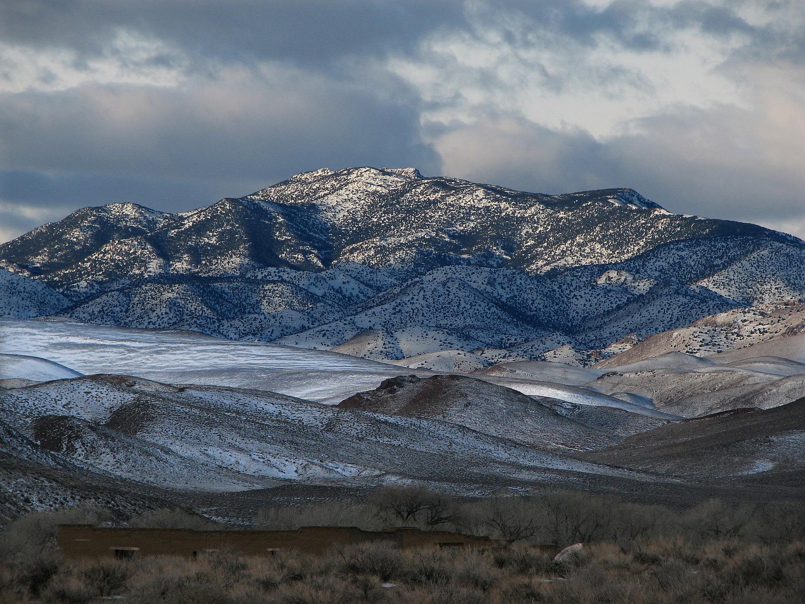
Desert Mountains
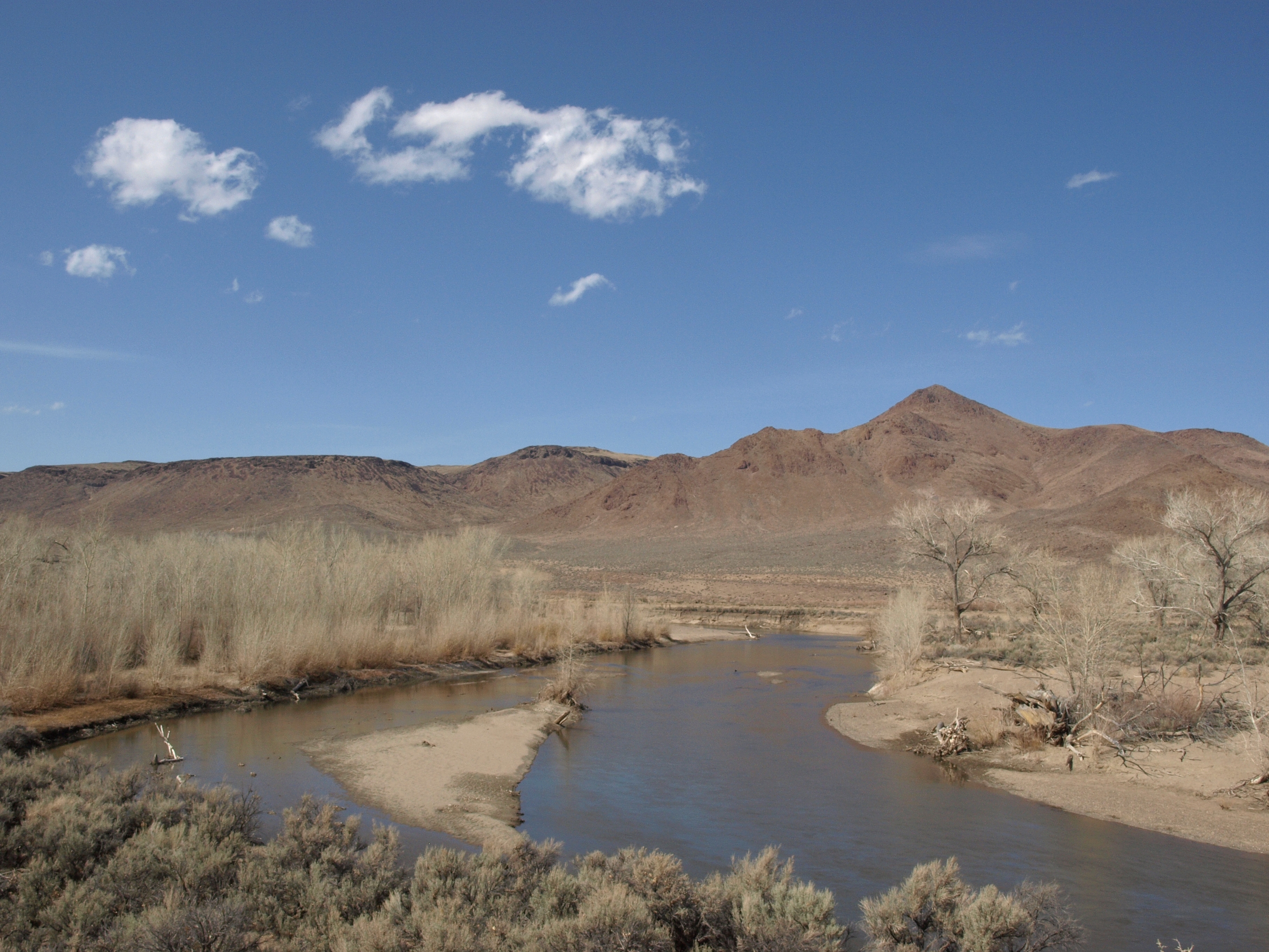
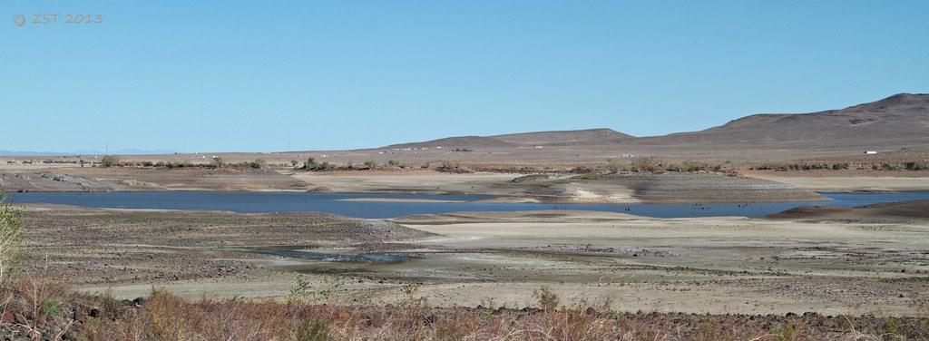
Carson River, Near Silver Springs, Nevada
Drying Out
I was an Arsenal, Now I'm Melting

What were the skies like when you were young
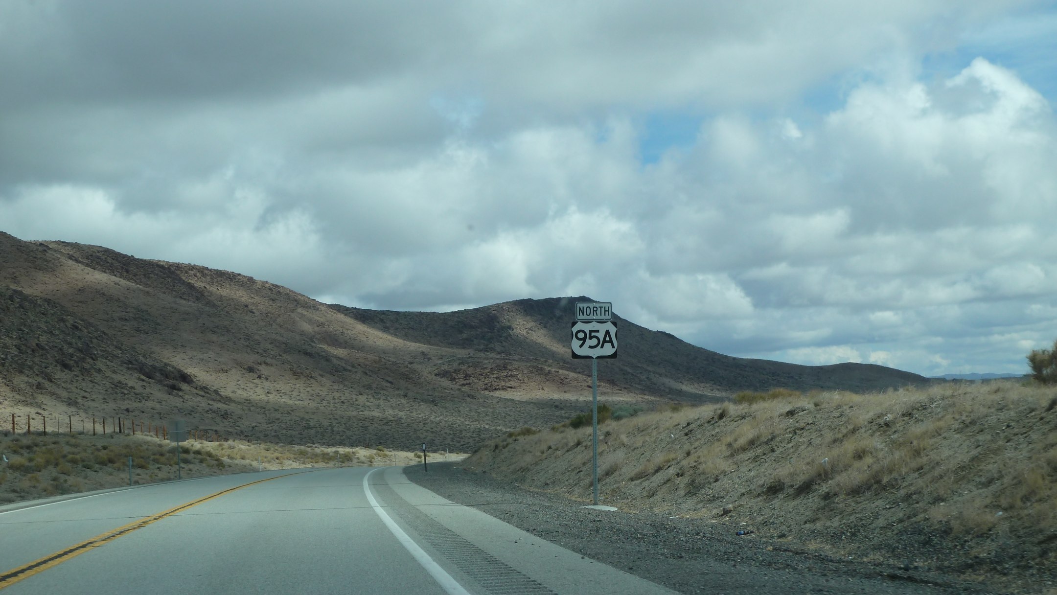
U.S. 95 Alt, Between Silver Springs and Yerington, Nevada
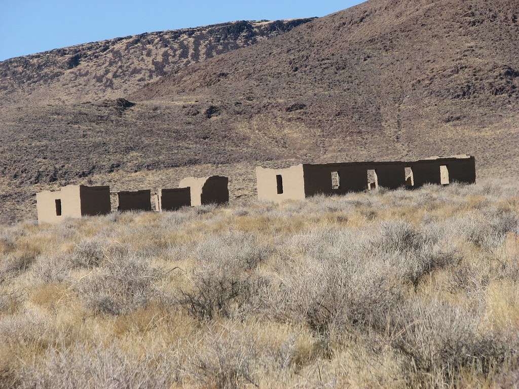
Old ruins
Topographic Map of Toiyabe Street, Toiyabe St, Silver Springs, NV, USA
Find elevation by address:

Places near Toiyabe Street, Toiyabe St, Silver Springs, NV, USA:
Tonopah Street
1745 Tuscarora St
Lahontan Street
1360 Lahontan St
Silver Springs
3809 Cherry St
4595 Deodar St
50 Speedway Rd
Usa Parkway
8120 Abilene Dr
1950 Alta Vista Way
Red Bluffs Way
17045 Lahontan Dam Rd
1291 Canal Dr
521 Wedge Ln
1060 Pepper Ln
Wallace Way, Fernley, NV, USA
990 Roan Ct
Silverado Casino
Fernley
Recent Searches:
- Elevation of Bernina Dr, Lake Arrowhead, CA, USA
- Elevation of N 82nd Pl, Mesa, AZ, USA
- Elevation of Snake Hill Rd, North Scituate, RI, USA
- Elevation of Lake Shore Dr, Warwick, RI, USA
- Elevation of E Brightview Ave, Pittsburgh, PA, USA
- Elevation of Cavendish Rd, Harringay Ladder, London N4 1RR, UK
- Elevation of 1 Zion Park Blvd, Springdale, UT, USA
- Elevation of Ganderbal
- Elevation map of Konkan Division, Maharashtra, India
- Elevation of Netaji Nagar, Hallow Pul, Kurla, Mumbai, Maharashtra, India