Elevation of TN-, Chapel Hill, TN, USA
Location: United States > Tennessee > Marshall County > Chapel Hill >
Longitude: -86.674775
Latitude: 35.6053569
Elevation: 216m / 709feet
Barometric Pressure: 99KPa
Elevation Map:
Satellite Map:
Related Photos:
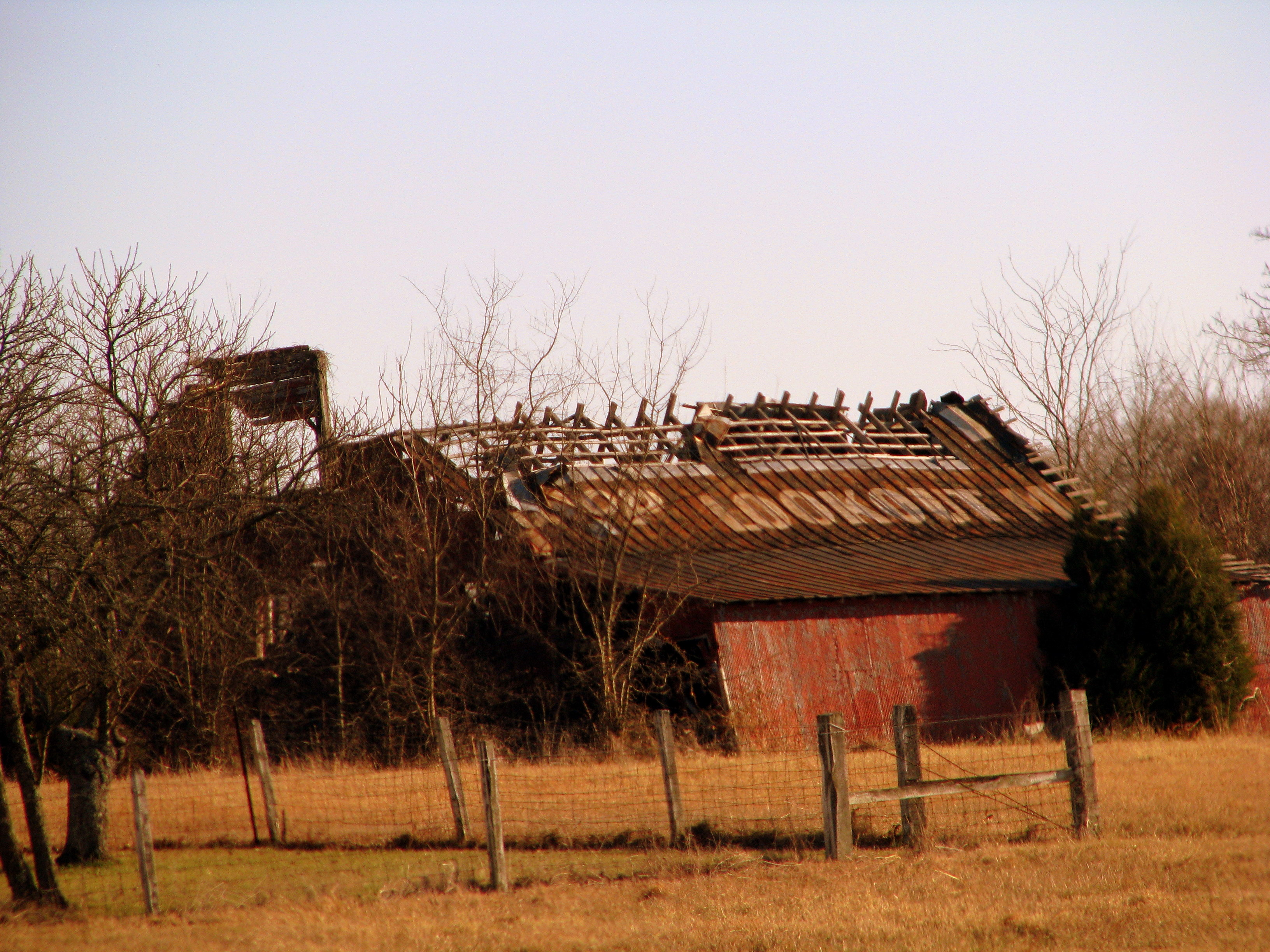
The ever crumbling rock city barn

Reposting @experiencemarshallcountytn: ⠀ ...⠀ "#Repost @amanneroftraveling.us⠀ ・・・⠀ View from today's run - Wilhoite Mill Trail with this little runner. (Reality check - she has the ability to brute force her mood upon others, in this morning's case a ter
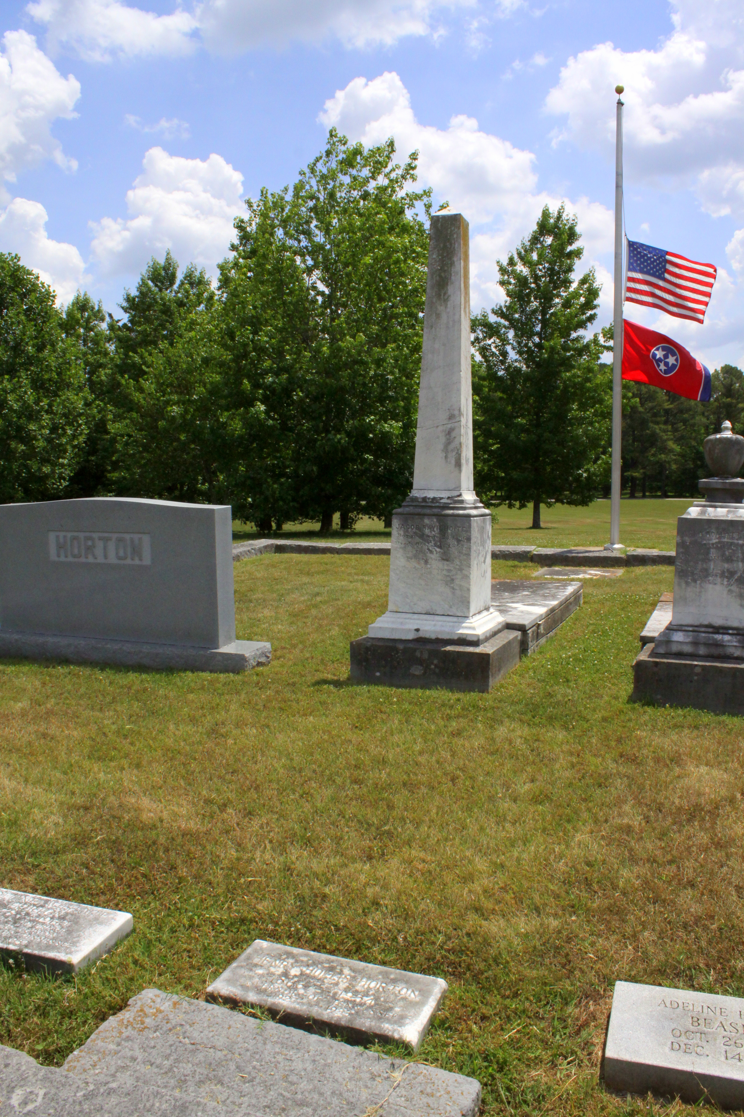
Burial site of Gov. Henry Horton

Pa's Old Barn

Be it ever so humble...
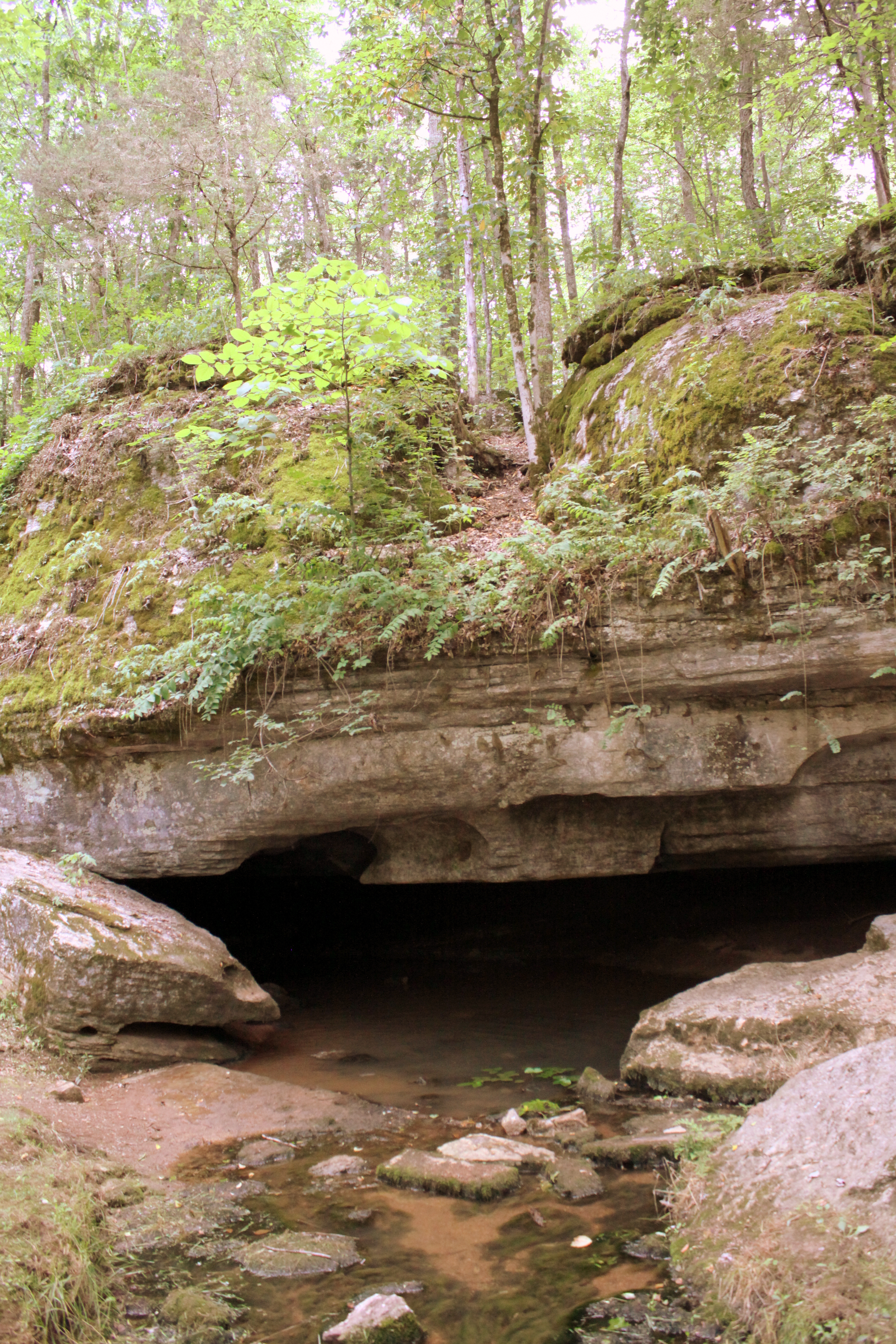
Berlin Spring - Marshall County, TN
Henry Horton

Enon Primitive Baptist Church - Bedford County, TN

Jasper's got his stick! No dog is happier.
Henry Horton

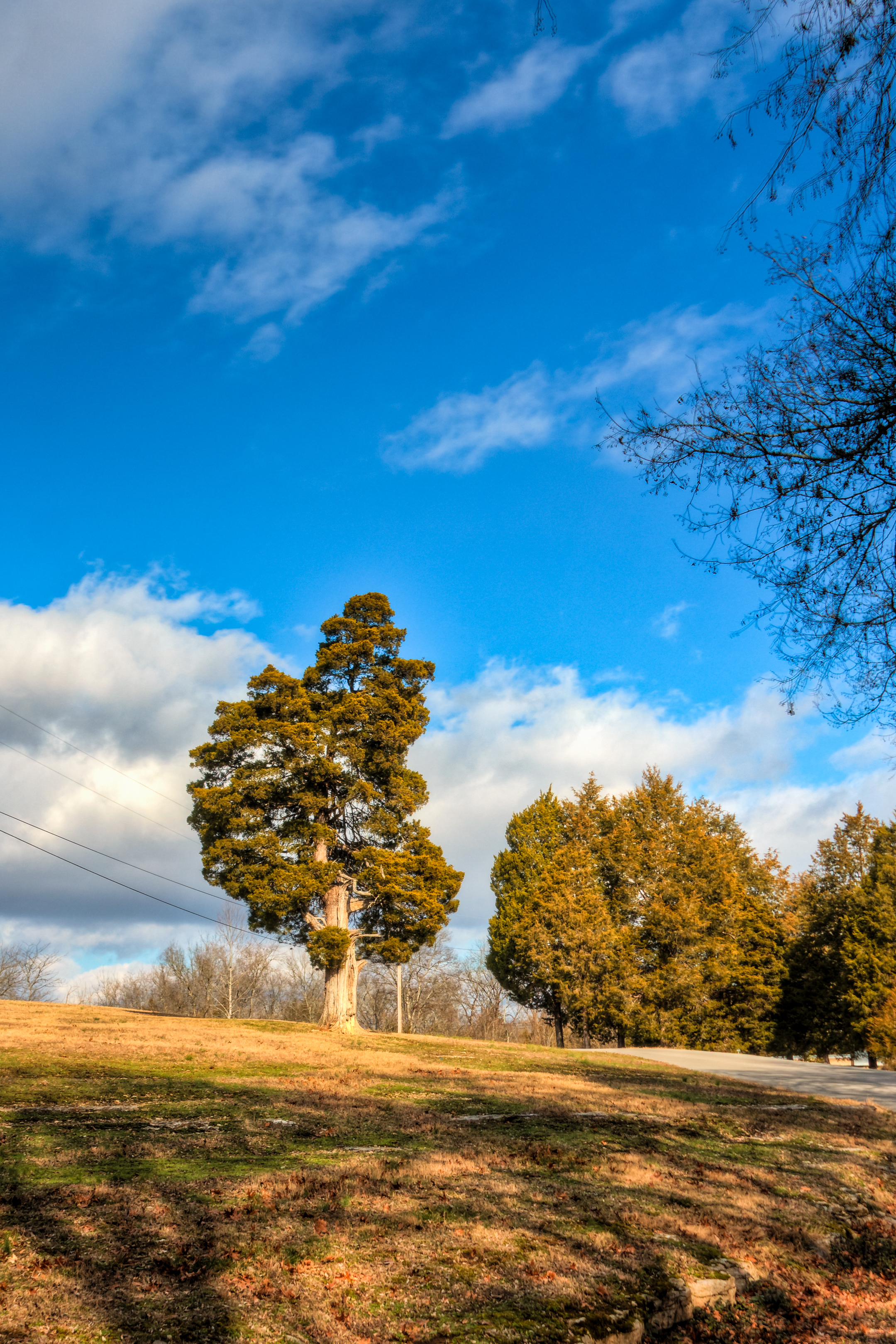
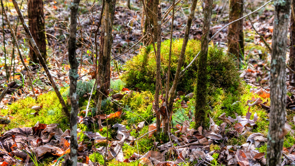
Down below 2
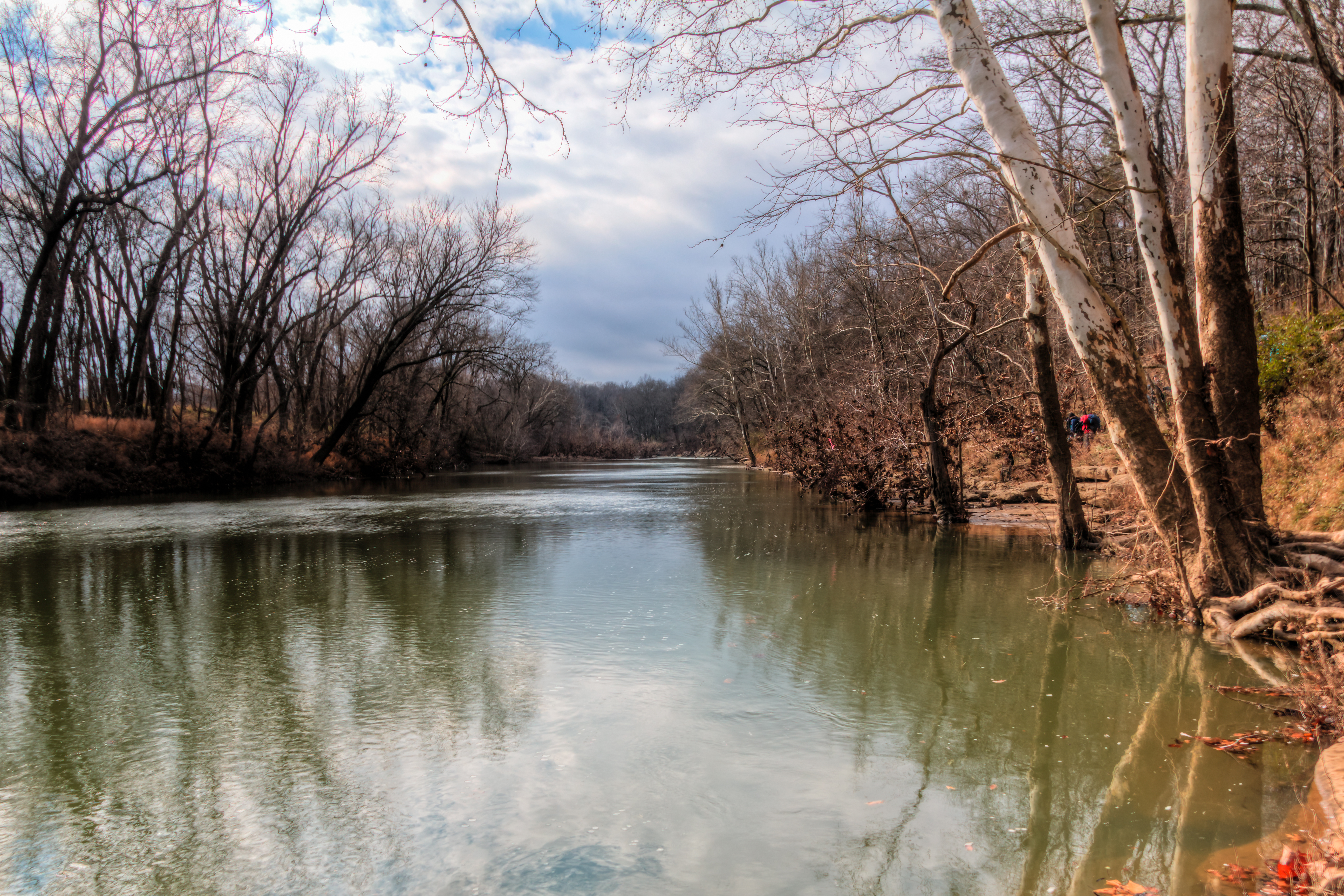
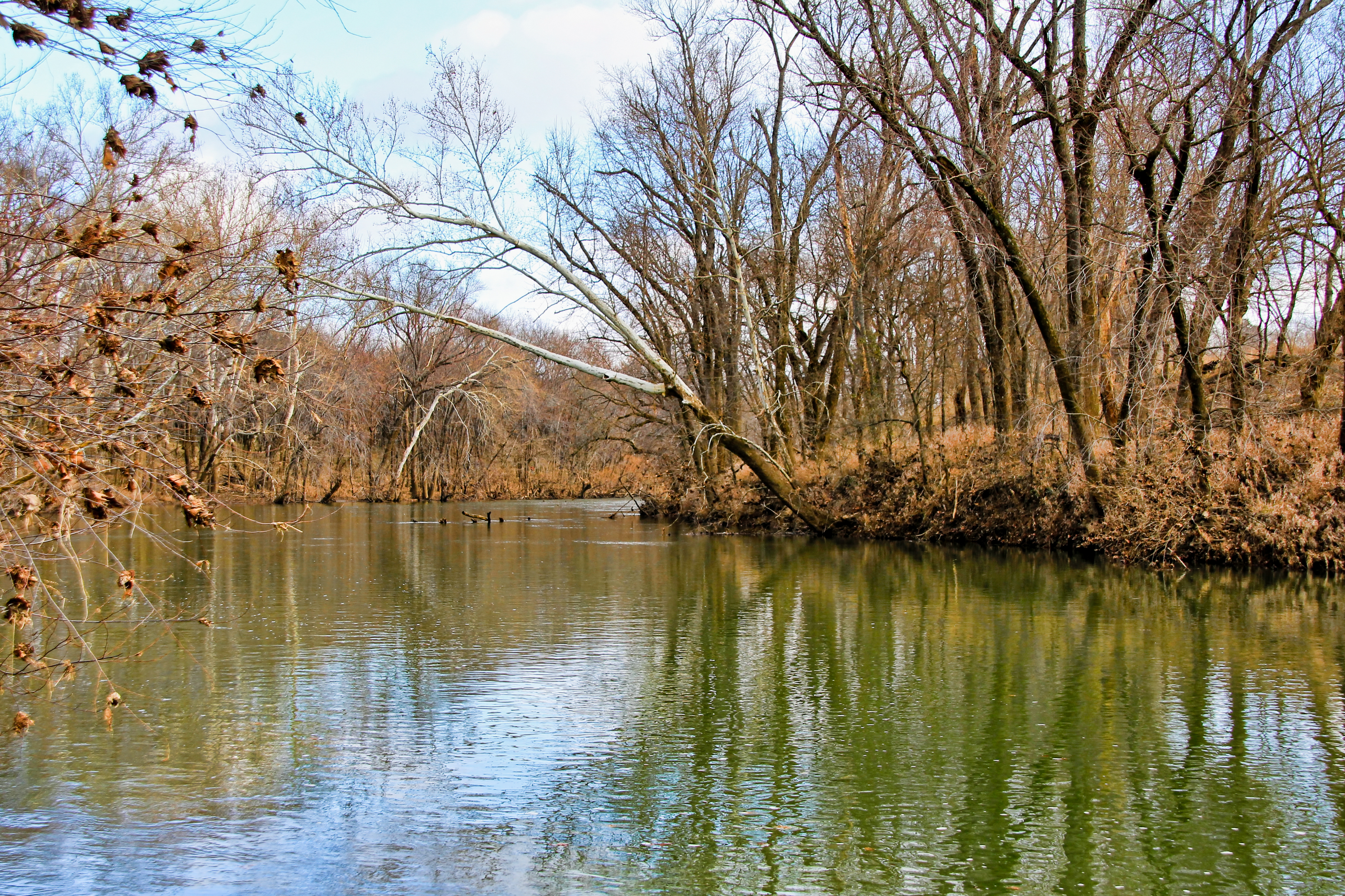
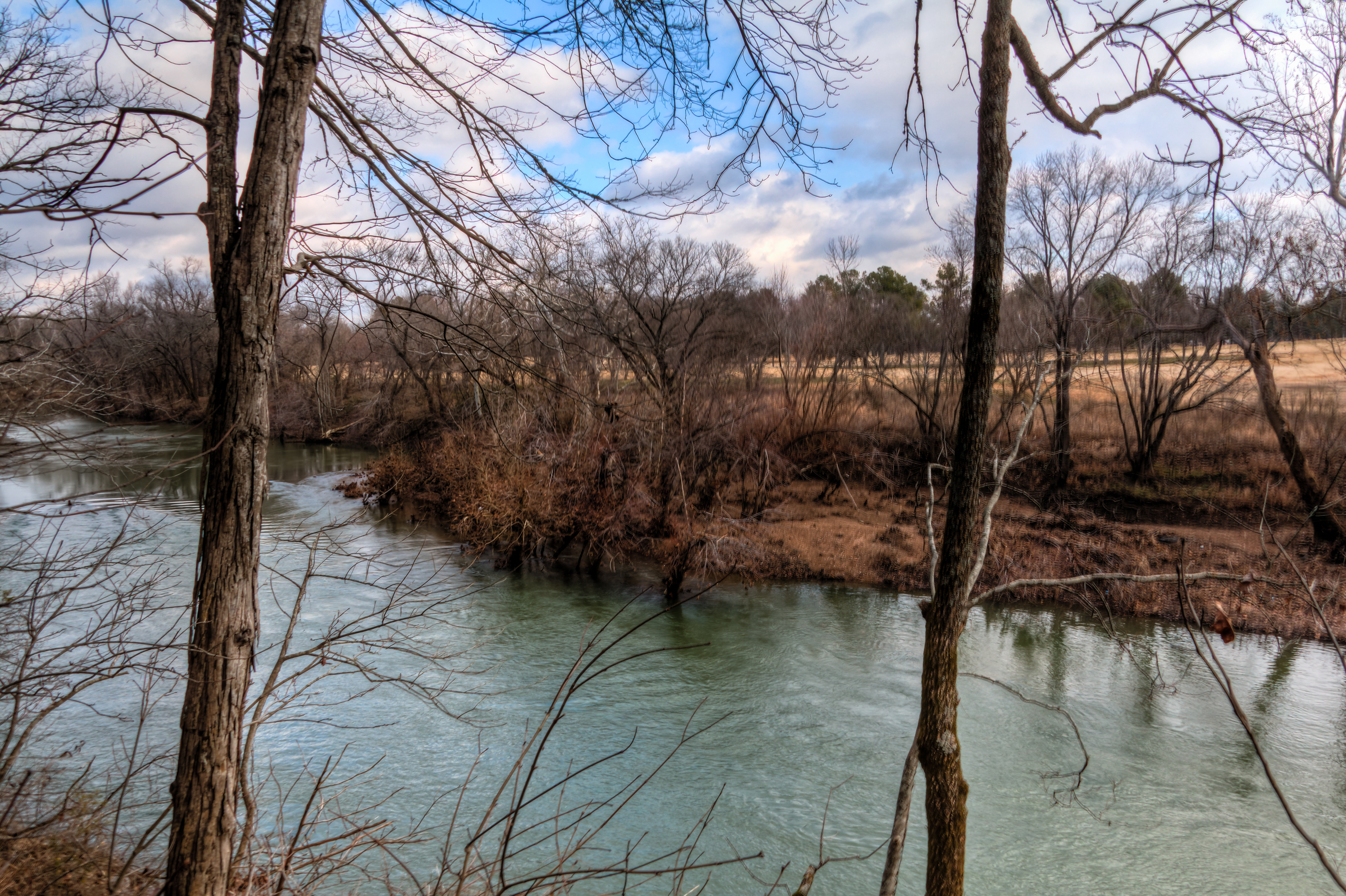
The Duck River at Henry Horton State Park

skygazing full sky
Henry Horton

skygazing full sky 2
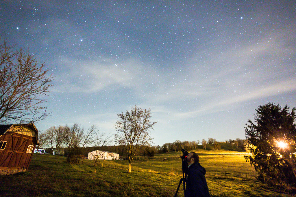
Landscape with Stars & Rob
Henry Horton
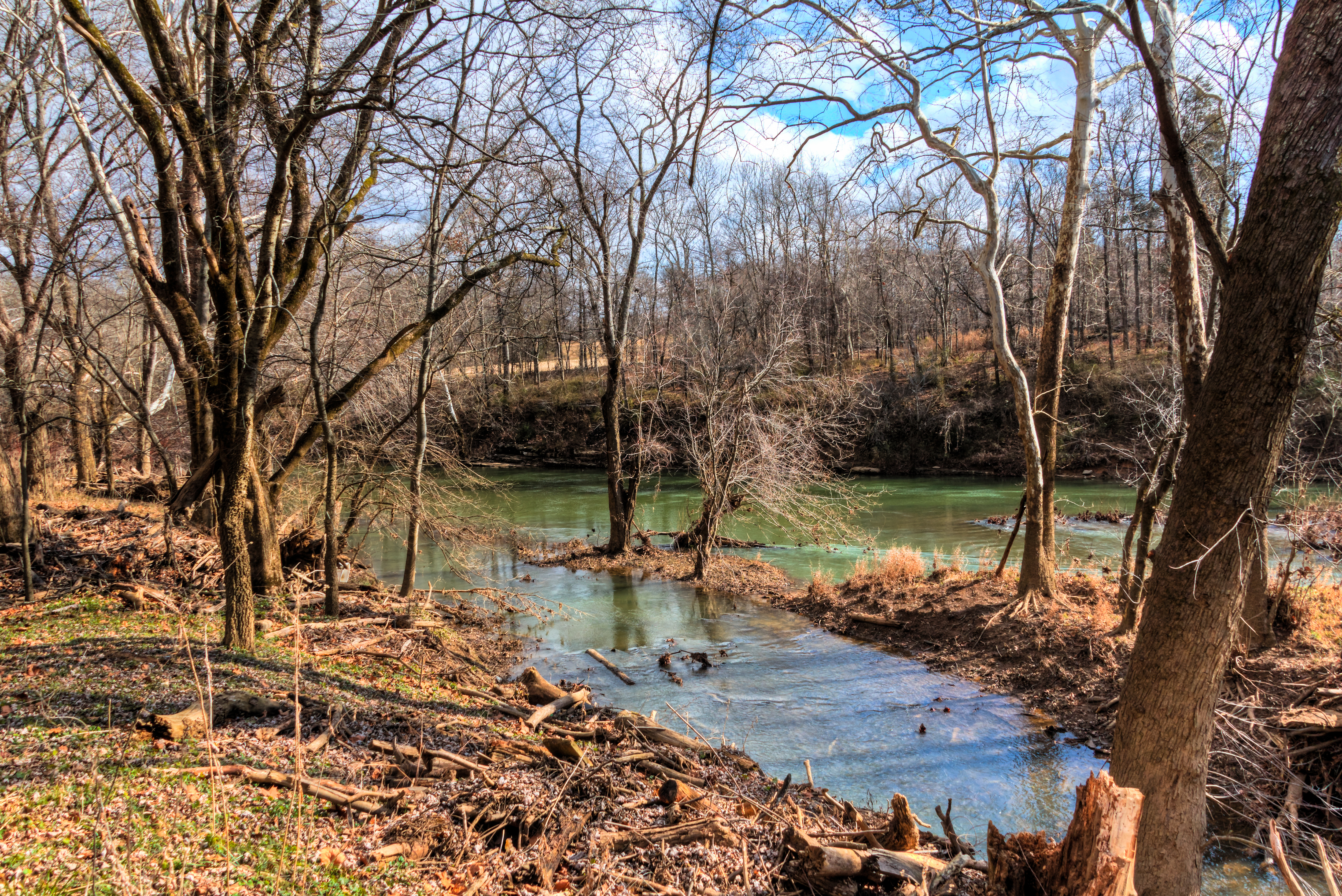
The Duck River at Henry Horton State Park

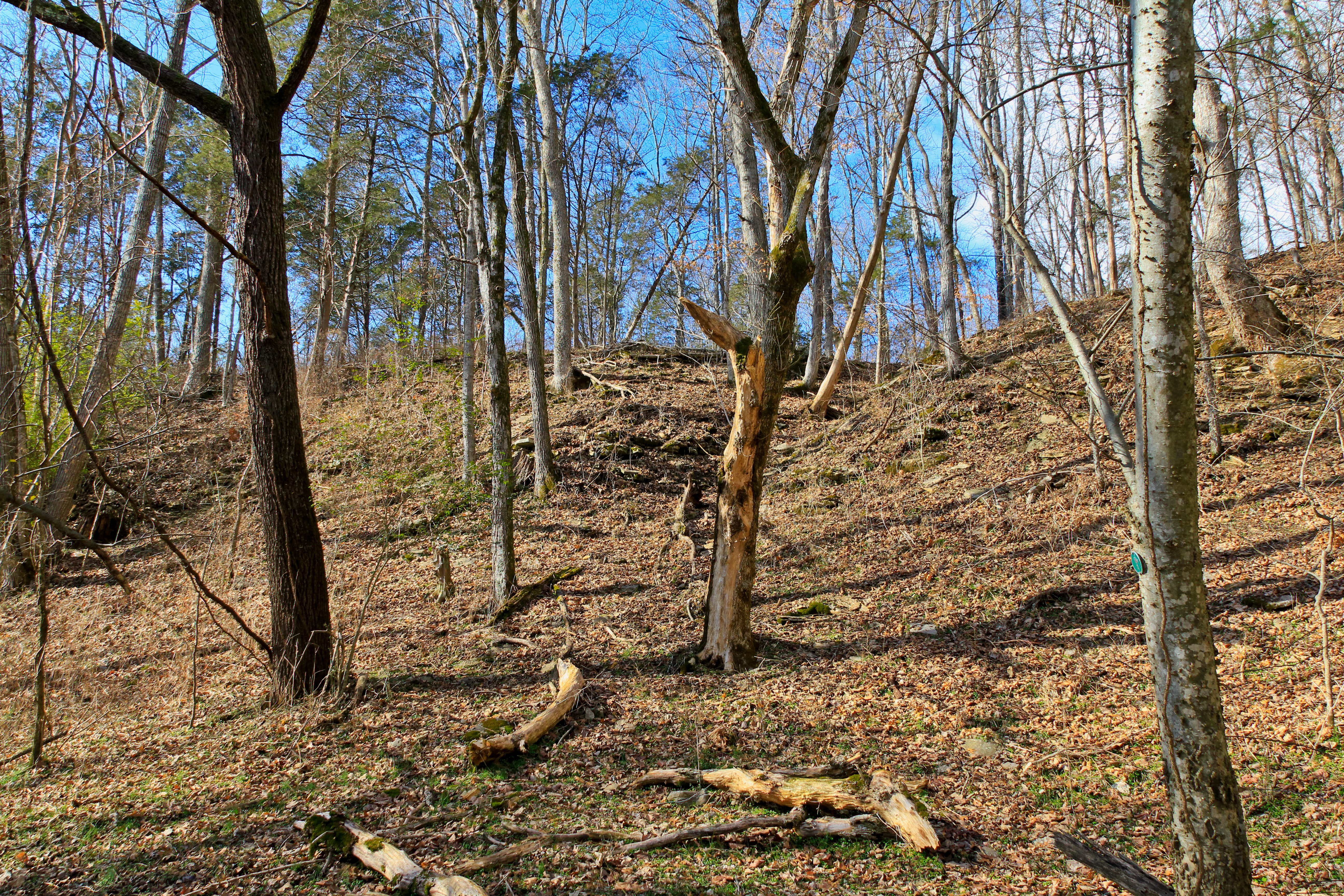
BERLIN ROCK PARK

20110108-nhm-henry-horton-duck-river-093

Landscape with Stars
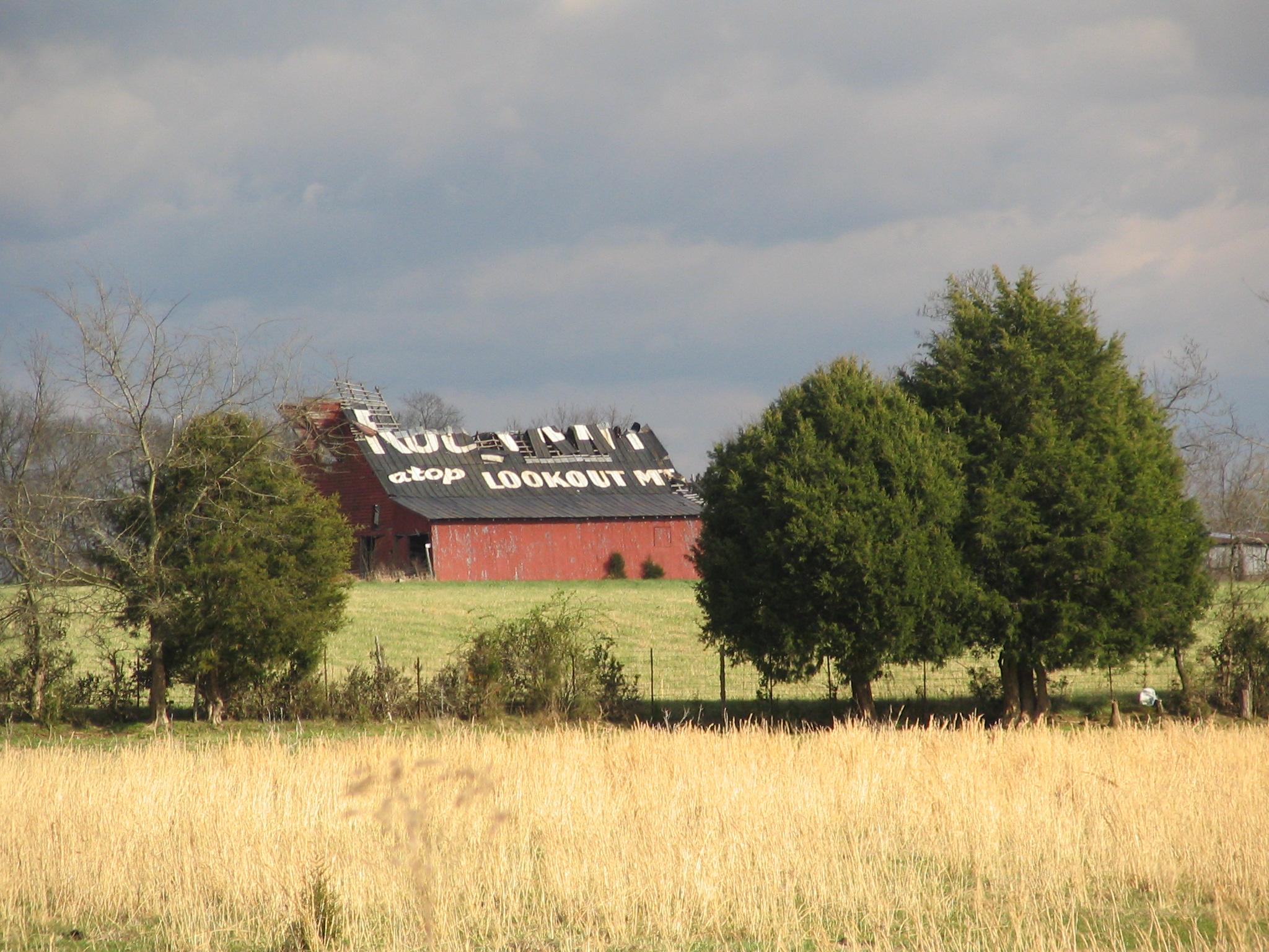
Rock City Barn, Bedford Co., TN
Henry Horton
Topographic Map of TN-, Chapel Hill, TN, USA
Find elevation by address:

Places near TN-, Chapel Hill, TN, USA:
Chapel Hill, TN, USA
Chapel Hill
514 N Horton Pkwy
4464 Smiley Rd
1503 Evelyn Ave
Nashville Hwy, Lewisburg, TN, USA
1603 River Rd
Thick Rd, Chapel Hill, TN, USA
Unionville
Sylvester Chunn Hwy, Lewisburg, TN, USA
552 Rattlesnake Lodge Rd
Halls Mill Rd, Shelbyville, TN, USA
Unionville, TN, USA
Hwy 40, Lewisburg, TN, USA
Bunker Hill Road
Murray Road
Tennessee
Lewisburg, TN, USA
Eagleville
6889 Giles Hill Rd
Recent Searches:
- Elevation of Fernwood, Bradenton, FL, USA
- Elevation of Felindre, Swansea SA5 7LU, UK
- Elevation of Leyte Industrial Development Estate, Isabel, Leyte, Philippines
- Elevation of W Granada St, Tampa, FL, USA
- Elevation of Pykes Down, Ivybridge PL21 0BY, UK
- Elevation of Jalan Senandin, Lutong, Miri, Sarawak, Malaysia
- Elevation of Bilohirs'k
- Elevation of 30 Oak Lawn Dr, Barkhamsted, CT, USA
- Elevation of Luther Road, Luther Rd, Auburn, CA, USA
- Elevation of Unnamed Road, Respublika Severnaya Osetiya — Alaniya, Russia