Elevation of TN-70, Kyles Ford, TN, USA
Location: United States > Tennessee > Hawkins County >
Longitude: -83.028438
Latitude: 36.51553
Elevation: 500m / 1640feet
Barometric Pressure: 95KPa
Elevation Map:
Satellite Map:
Related Photos:

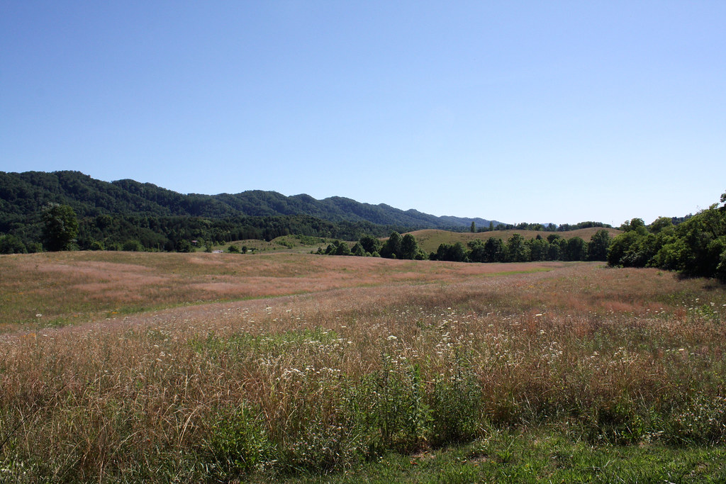
Southern Appalachian Ridges
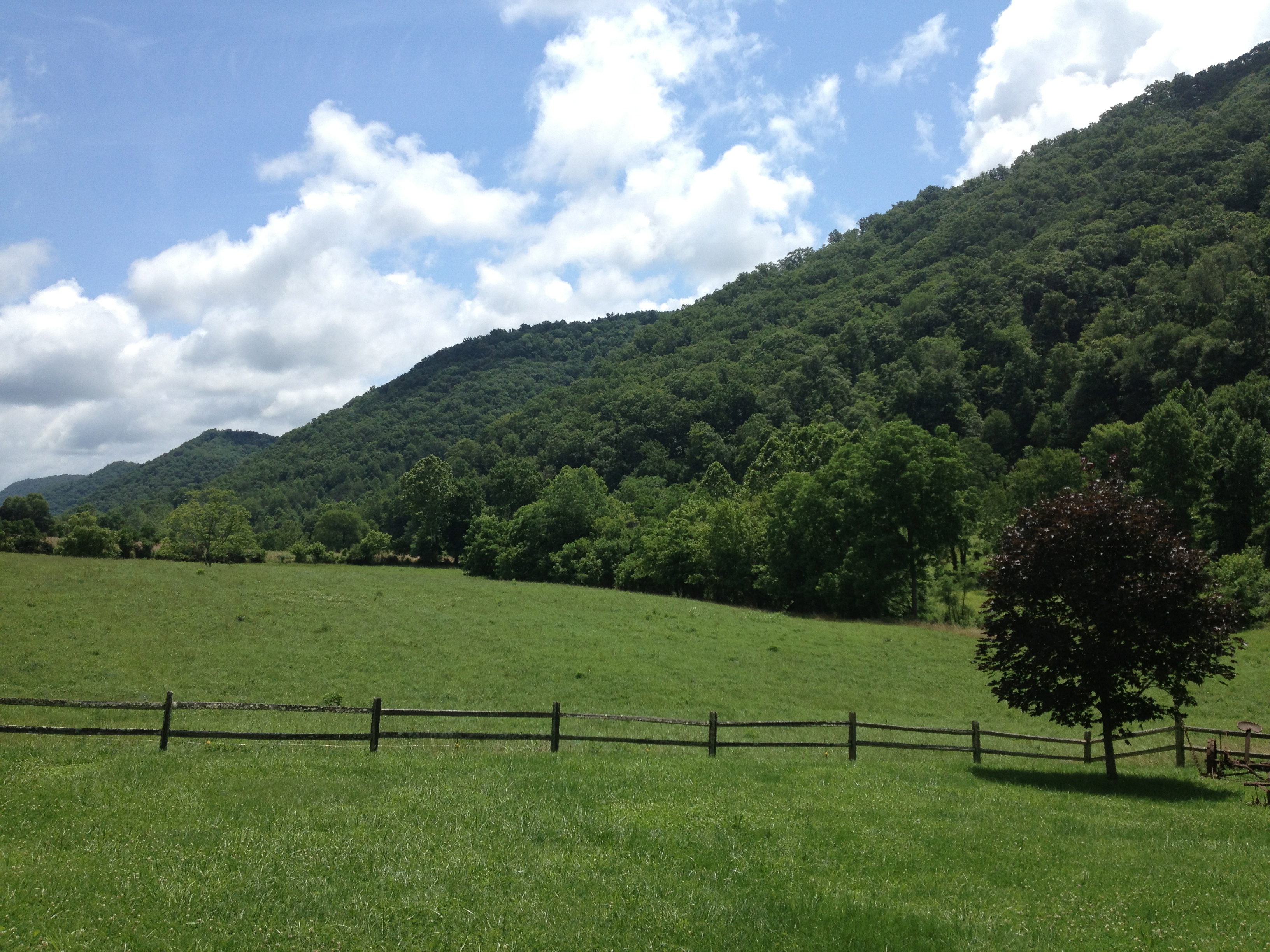
North side of Clinch Mountain

Hawkins County Courthouse Front Corner Landscape View - Rogersville, TN

Big Creek

Blackwater, Virginia

Kyrkogård

Big Creek Falls and Dam at Amis Mill
Youth MT2K13 Photos

2013.06.04.02 Hawkins Co.

Clinch river
Youth MT2K13 Photos
Leaving Rogersville

Trail Tree
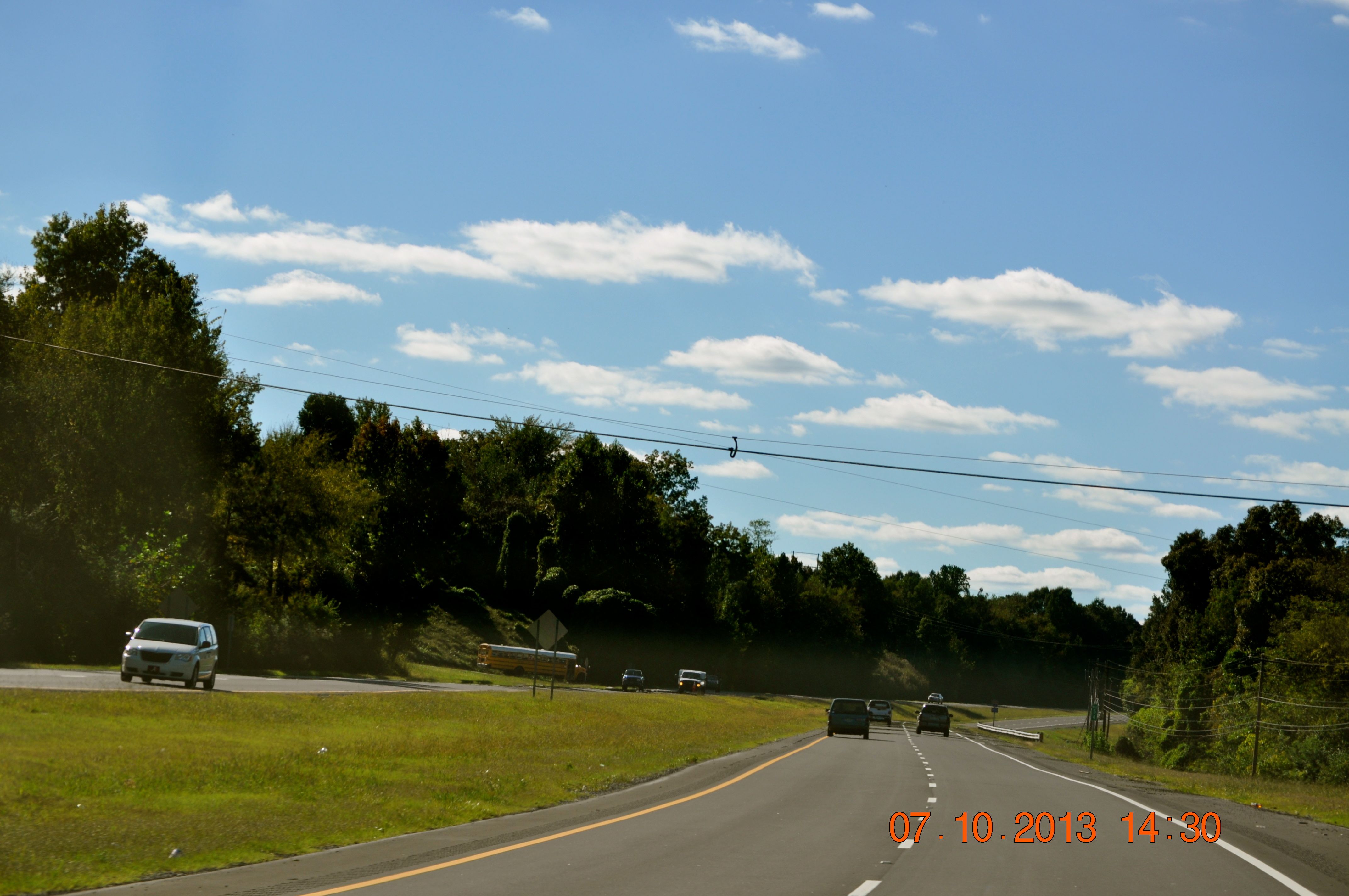
Leaving Rogersville
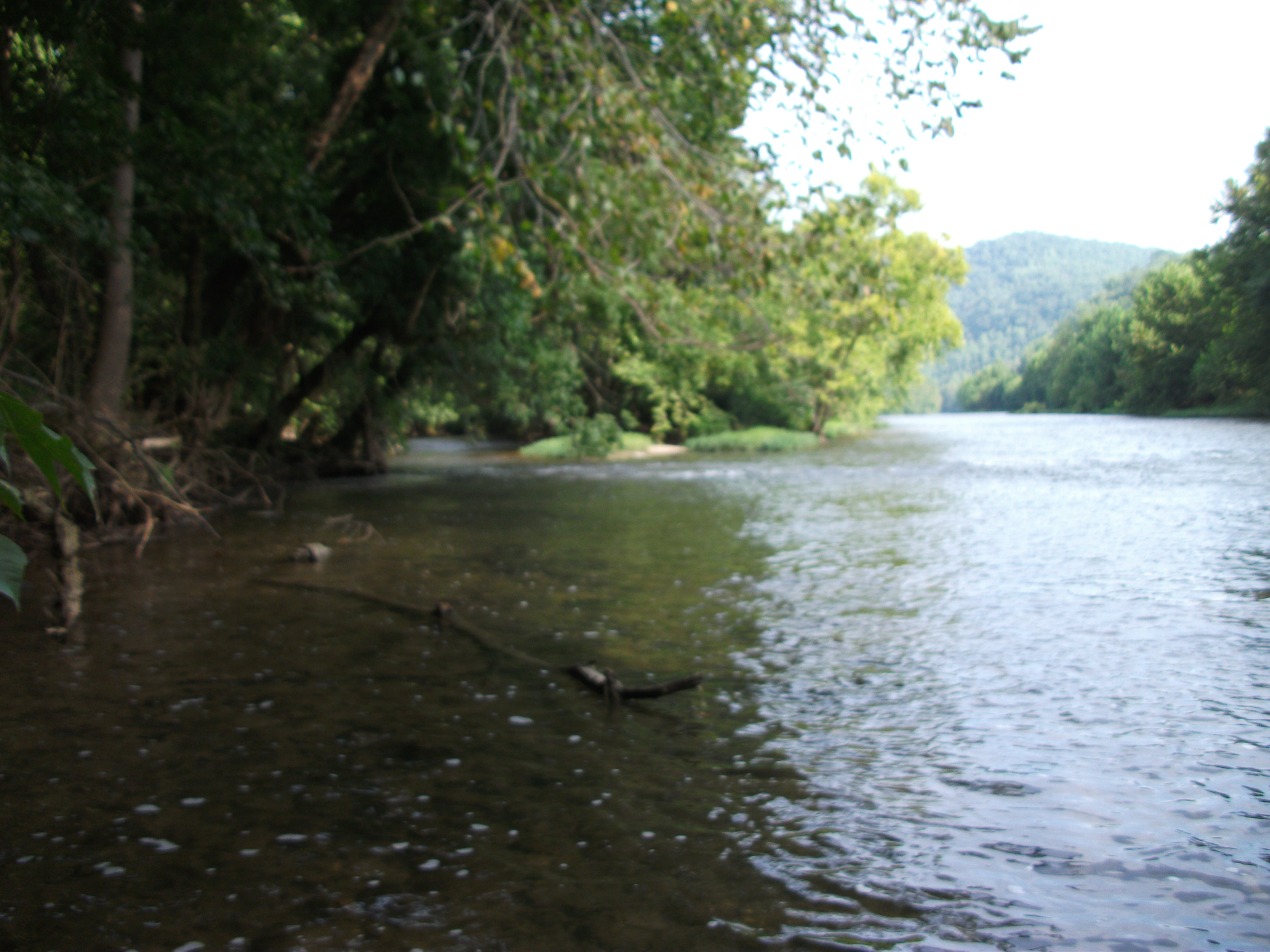
Clinch river
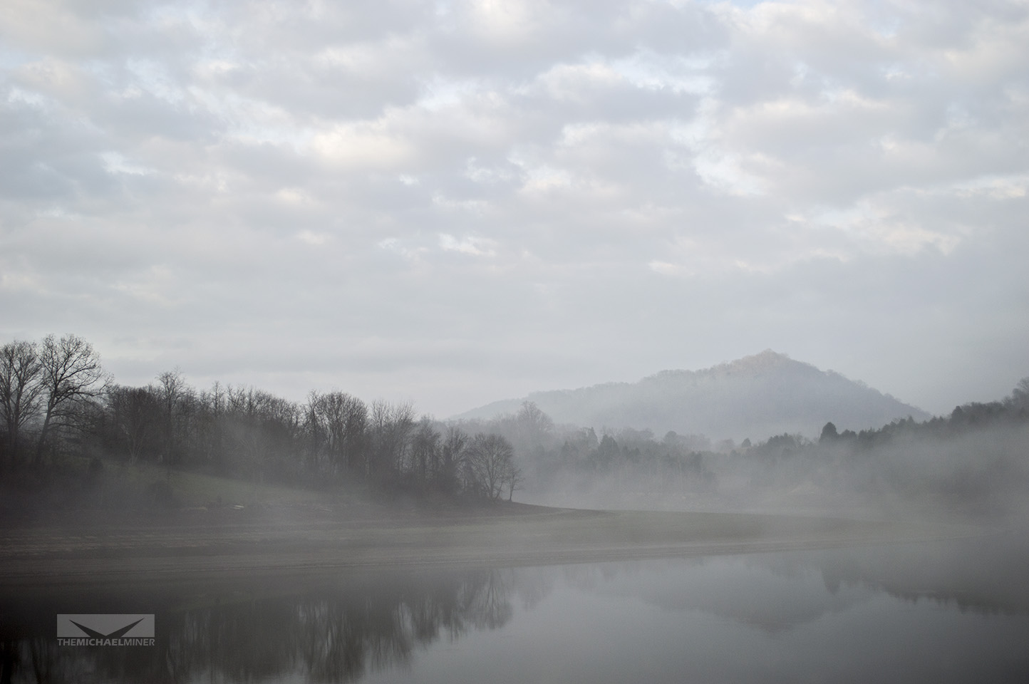
Foggy Mountain River
Topographic Map of TN-70, Kyles Ford, TN, USA
Find elevation by address:

Places near TN-70, Kyles Ford, TN, USA:
Eidson
Rogers Road
4525 Tn-70
526 War Creek Rd
Pressmens Home Road
Pressmens Home Road
100 N Sulphur Springs Rd
TN-70, Eidson, TN, USA
598 Sweet Creek Rd
294 Pine Mountain Rd
295 Pine Mountain Rd
Pine Mountain Road
436 Hog Lot Rd
146 Hog Lot Rd #0
146 Hog Lot Rd #0
146 Hog Lot Rd #0
638 Davis Chapel Rd
Byrd Creek
Byrd Creek Road
Rock Hill Road
Recent Searches:
- Elevation of Corso Fratelli Cairoli, 35, Macerata MC, Italy
- Elevation of Tallevast Rd, Sarasota, FL, USA
- Elevation of 4th St E, Sonoma, CA, USA
- Elevation of Black Hollow Rd, Pennsdale, PA, USA
- Elevation of Oakland Ave, Williamsport, PA, USA
- Elevation of Pedrógão Grande, Portugal
- Elevation of Klee Dr, Martinsburg, WV, USA
- Elevation of Via Roma, Pieranica CR, Italy
- Elevation of Tavkvetili Mountain, Georgia
- Elevation of Hartfords Bluff Cir, Mt Pleasant, SC, USA