Elevation of Tiszaörs, Liget u. 1, Hungary
Location: Hungary > Jász-nagykun-szolnok > Tiszafüredi > Tiszaörs > Fürdőtelep >
Longitude: 20.825409
Latitude: 47.475482
Elevation: 89m / 292feet
Barometric Pressure: 100KPa
Elevation Map:
Satellite Map:
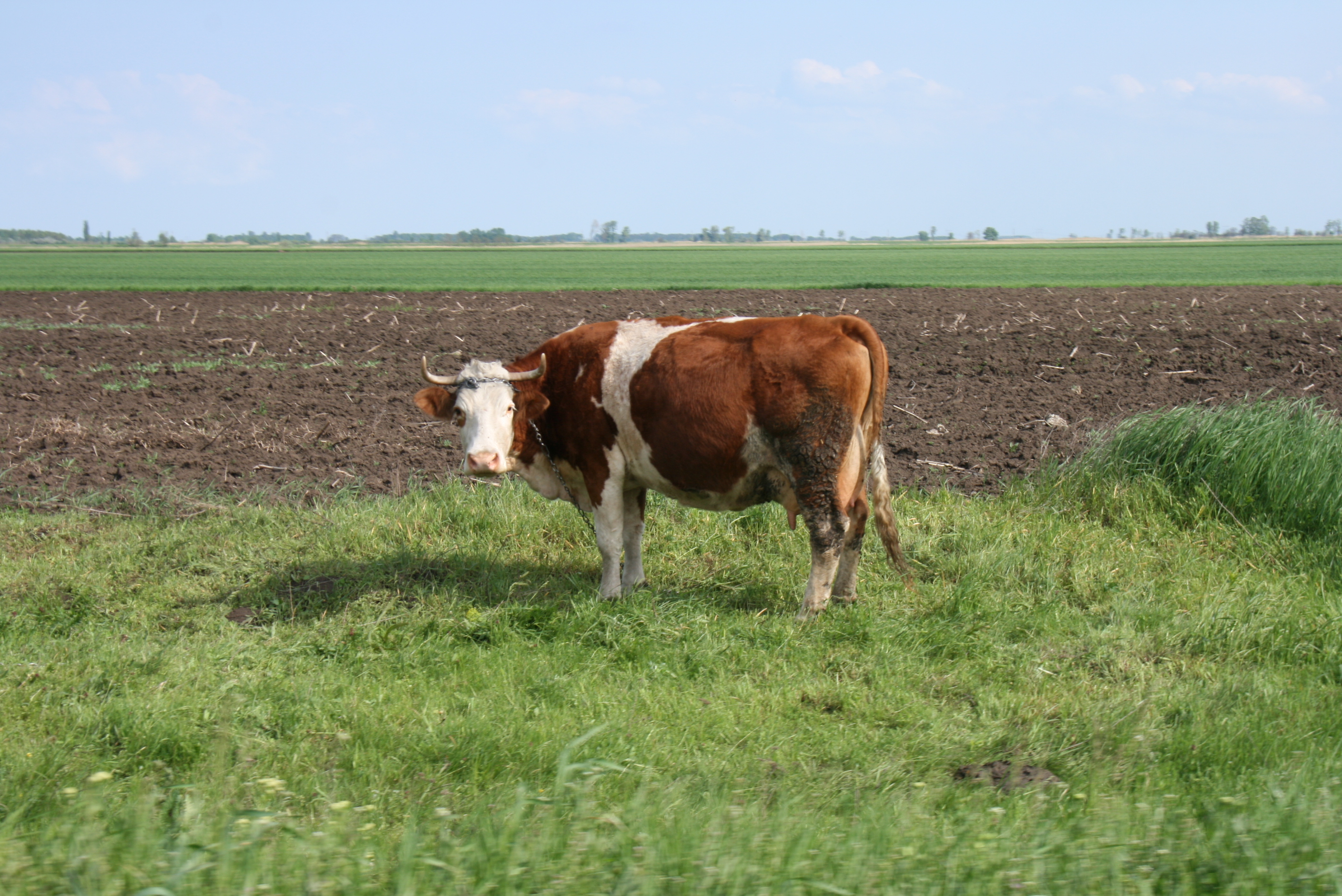
Related Photos:

War memorial

Hold the Sun Day 6

View from the Yard Day 31
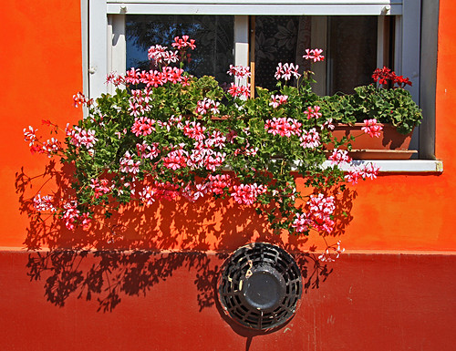
Clashing colours

Magyar Eclipse Day 79
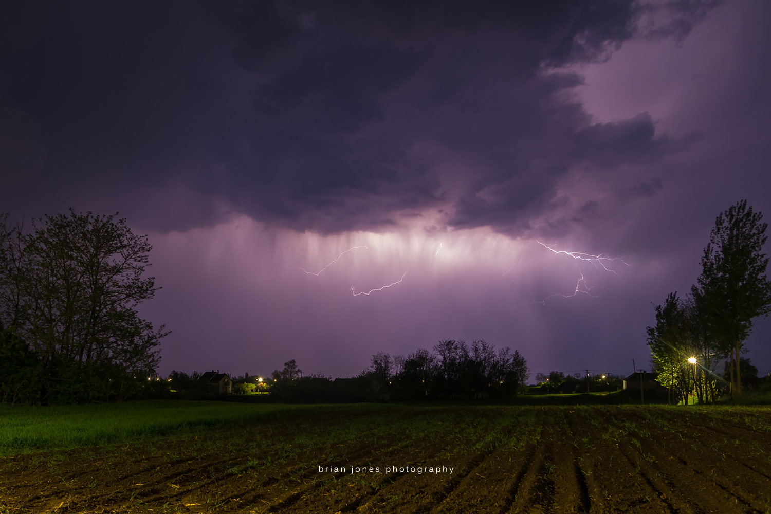
Storm Season 2015

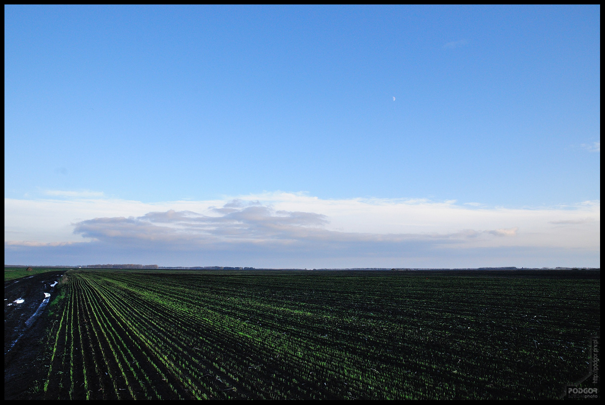
Winter Morning Day 26

Storm Season 2015

Storm Season 2015

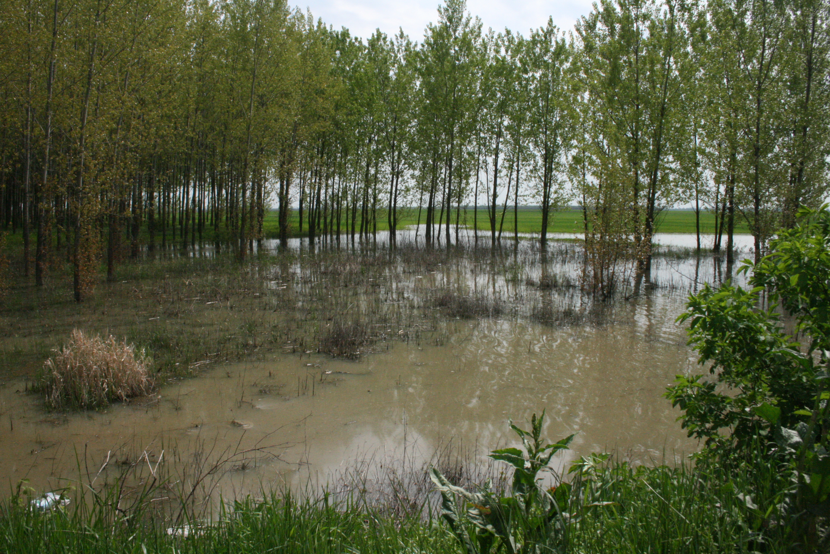
Landscape after Battle

Kifakult tábla

Panurus biarmicus

Storm Season 2015
Berekfürdő
2010ápr_Tiszaderzs_564

berekfürdő session1

MMXII 200
2010ápr_Kunhegyes_1584
2010ápr_Kunhegyes_1585
2010ápr_Kunhegyes_1573
2010ápr_Kunmadaras_1558
2010ápr_Kunhegyes_1571
Topographic Map of Tiszaörs, Liget u. 1, Hungary
Find elevation by address:

Places near Tiszaörs, Liget u. 1, Hungary:
Fürdőtelep
Tiszaörs
Tiszafüred
Karcagi
Karcag
Tiszafüredi
Abádszalók
Kisújszállás
Kisújszállás, Esze Tamás u. 28, Hungary
Jász-nagykun-szolnok
Füzesabony
Mezőtúri
Mezőtúr
Mezőtúr, VIII. u. 2, Hungary
Gyoma
Gyomaendrőd
Kál
Kál-kápolna
Szarvas
Csabacsűd
Recent Searches:
- Elevation of Dog Leg Dr, Minden, NV, USA
- Elevation of Dog Leg Dr, Minden, NV, USA
- Elevation of Kambingan Sa Pansol Atbp., Purok 7 Pansol, Candaba, Pampanga, Philippines
- Elevation of Pinewood Dr, New Bern, NC, USA
- Elevation of Mountain View, CA, USA
- Elevation of Foligno, Province of Perugia, Italy
- Elevation of Blauwestad, Netherlands
- Elevation of Bella Terra Blvd, Estero, FL, USA
- Elevation of Estates Loop, Priest River, ID, USA
- Elevation of Woodland Oak Pl, Thousand Oaks, CA, USA